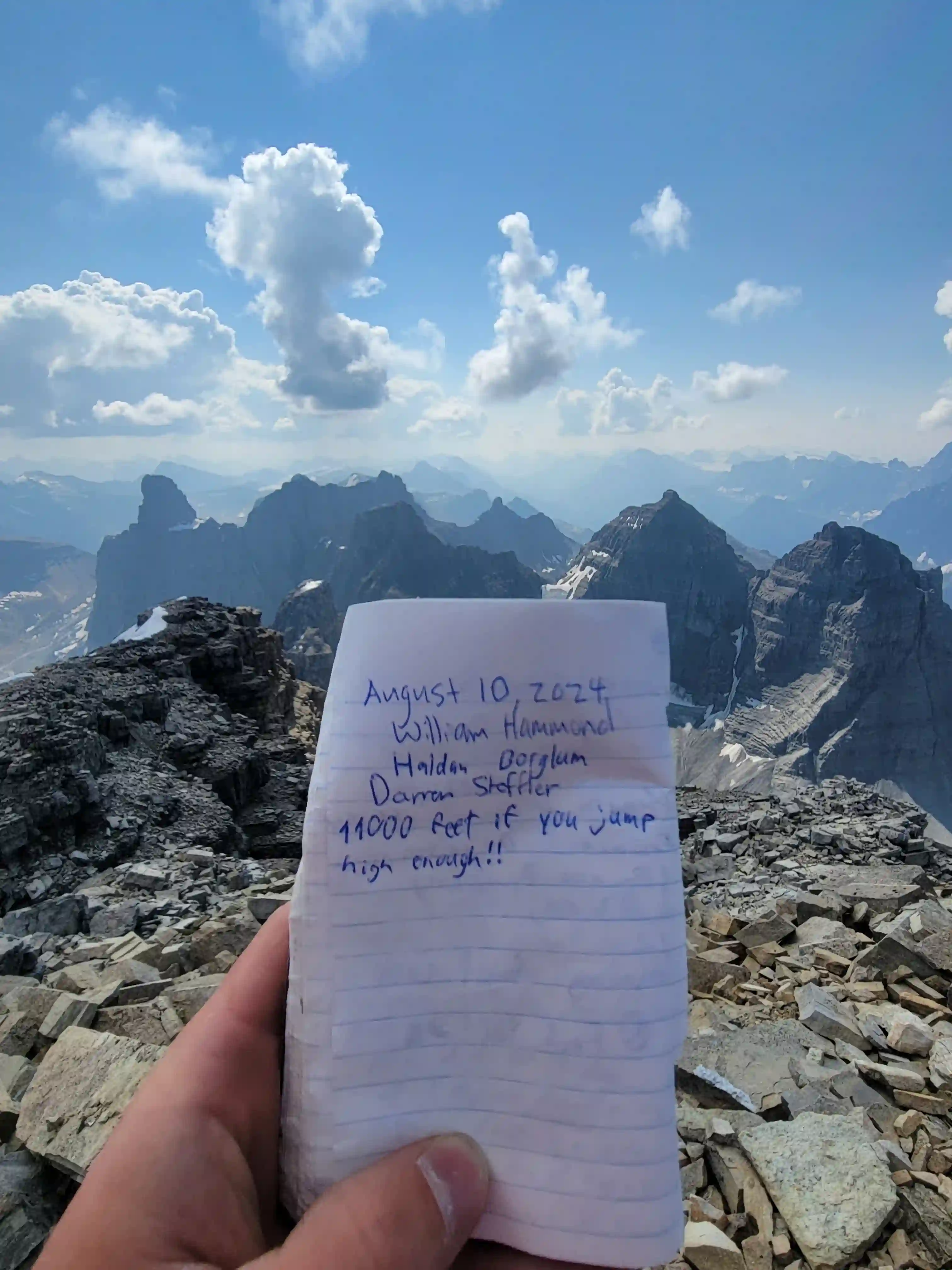
Mount Murchison
3353m, 11000ft
August 10 2024
Making up one of the two 11000ers east of the Icefields Parkway and within close proximity of the Saskatchewan Crossing, the other being
Mount Cline,
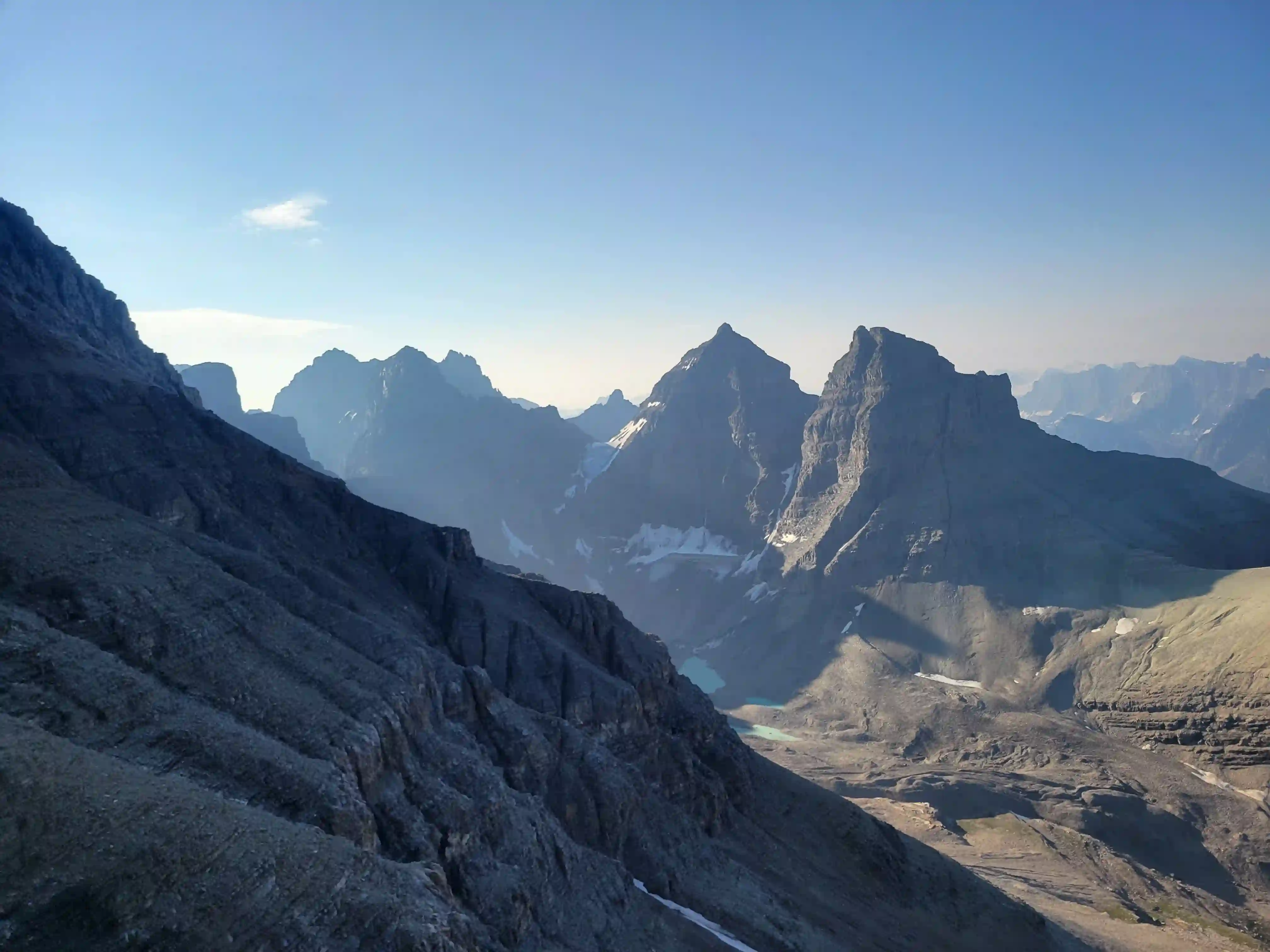
Mount Murchison sits right on the hairy edge of being 11000 feet. Various measurements have come back with different results making Murchison's true height a topic of debate but regardless it makes up one of the 58 peaks on Bill Corbett's list and is still a very high peak in the Canadian Rockies. The summit views towards the Murchison Towers are quite dramatic and make it worth the effort to get up this big loose scree pile, and while it's quite easy compared to the more difficult or gnarly rock peaks on the list, a trip up Murchison will have you dealing with choss for the entire day.

Just a week after Darren and my successful ascent of
Mount Sir Douglas
we were ready for more action and with a couple good days of weather we decided to go for one of the easier rock 11000ers. William Hammond, a fellow peak bagger I had known through the Facebook mountain community for a couple years was also down so we made plans and met up early in the Mistaya Canoyon parking lot.
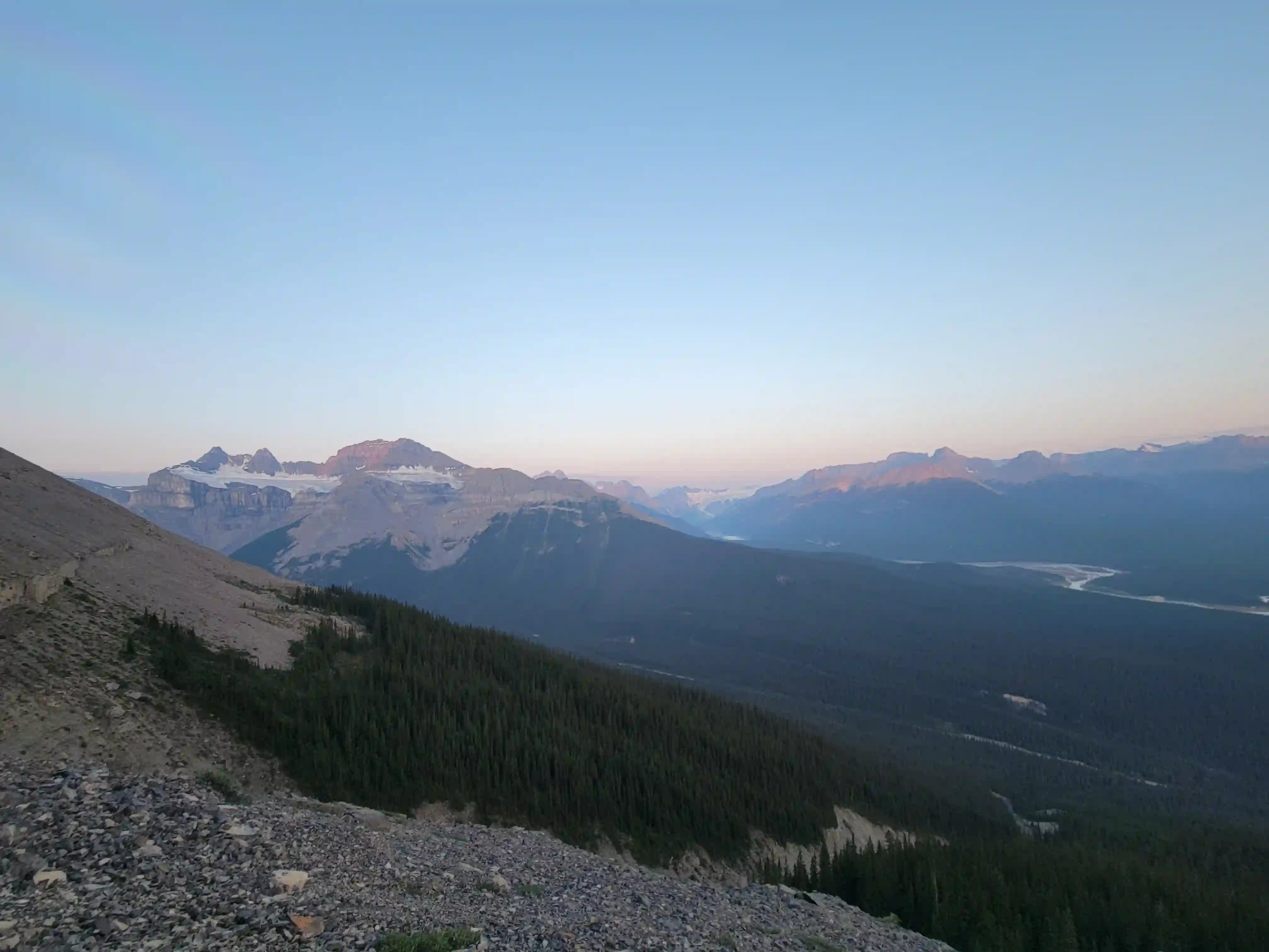
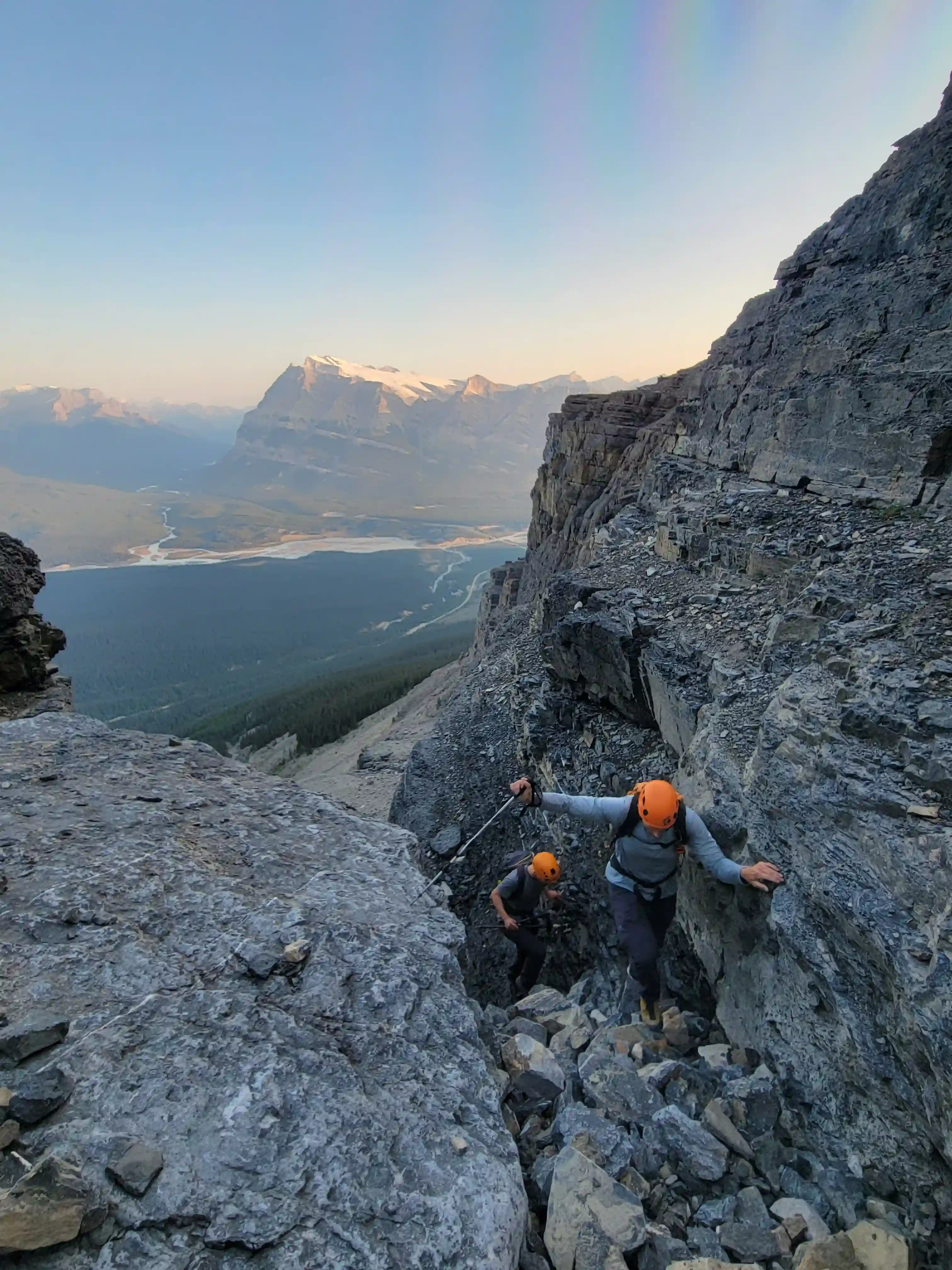
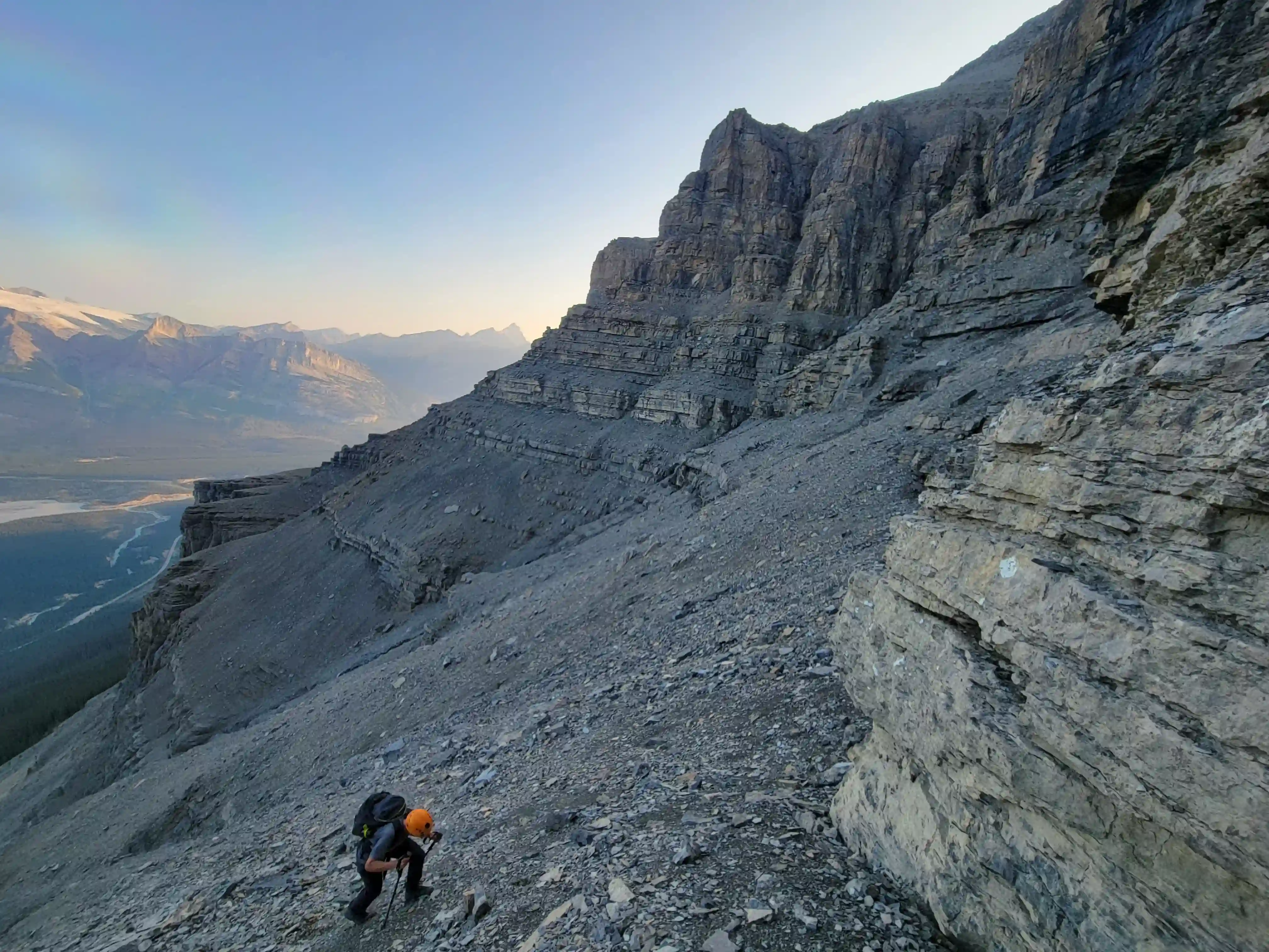
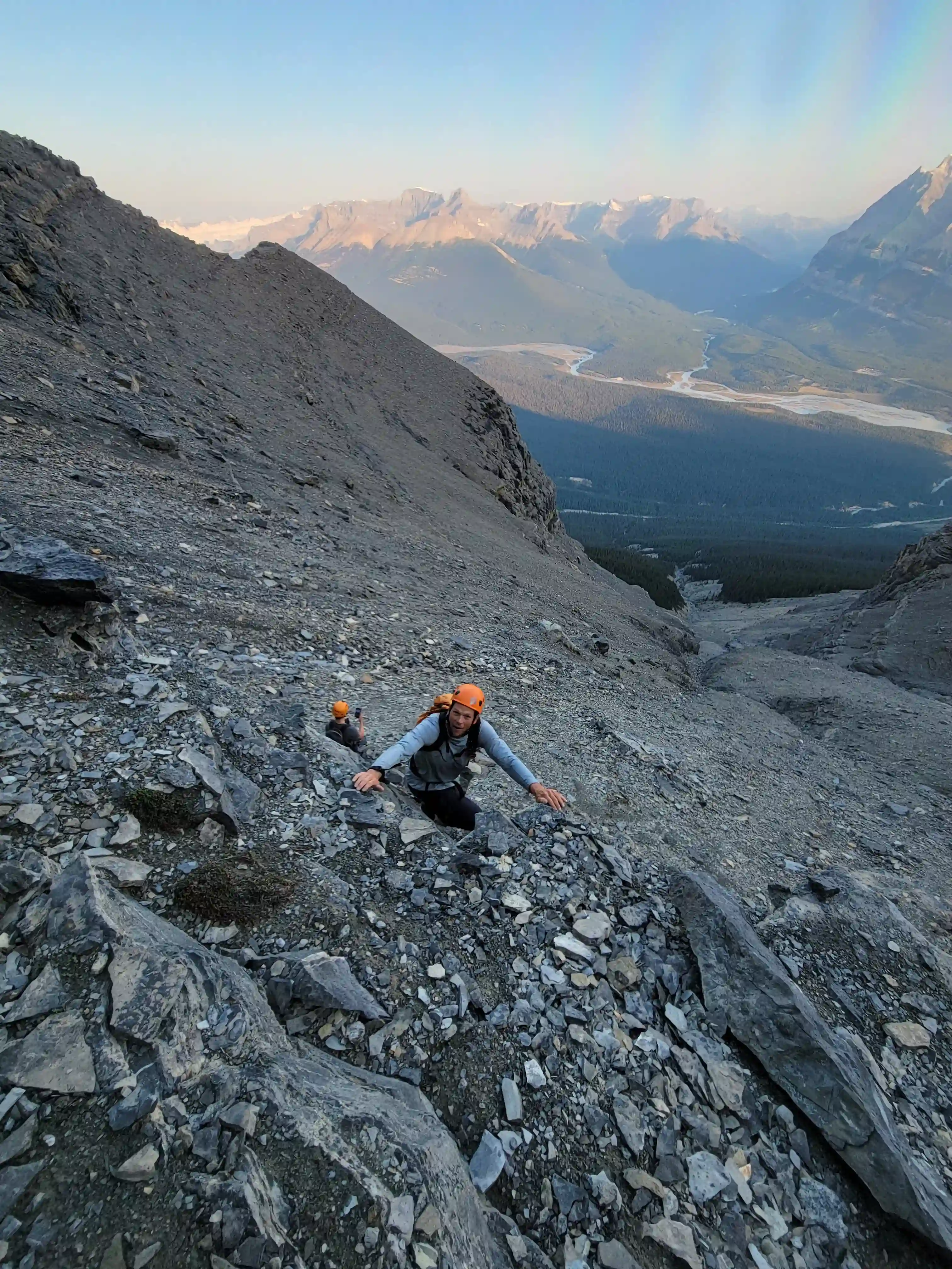
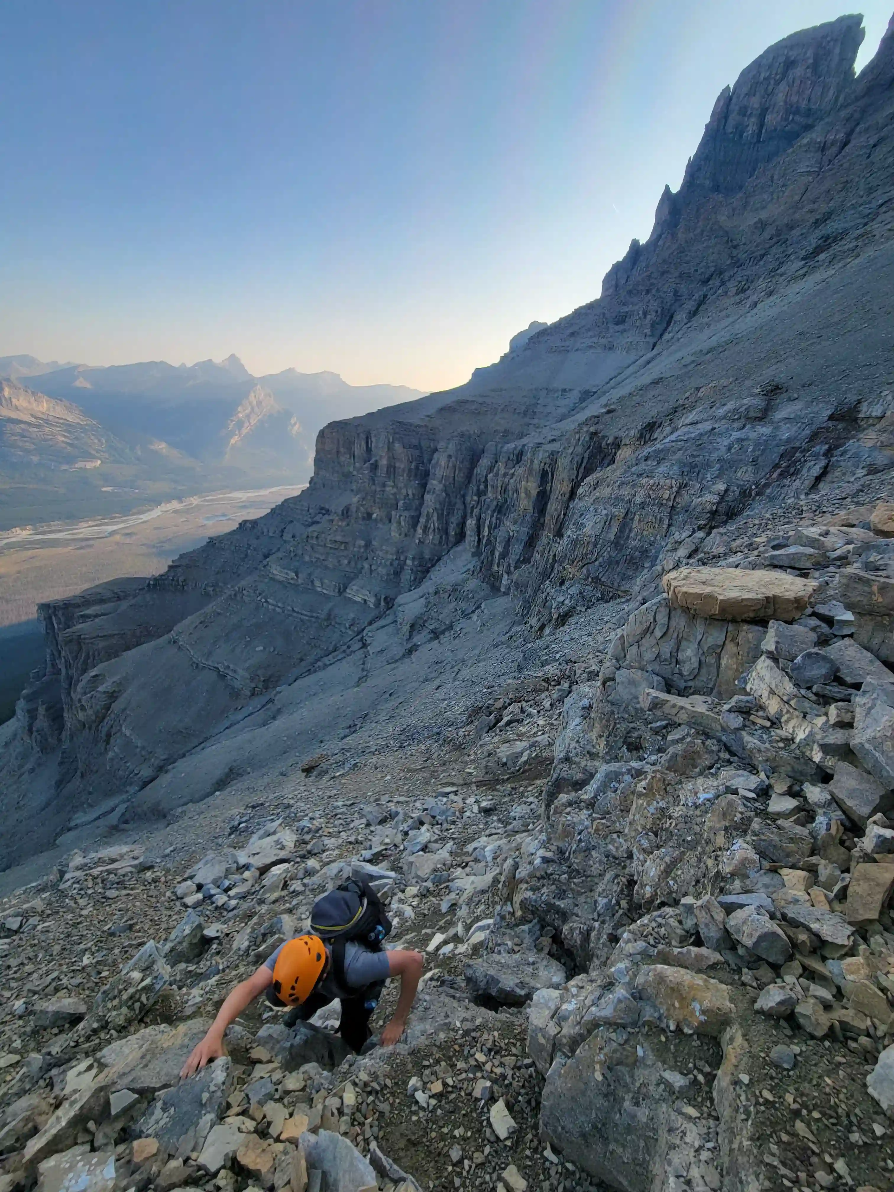
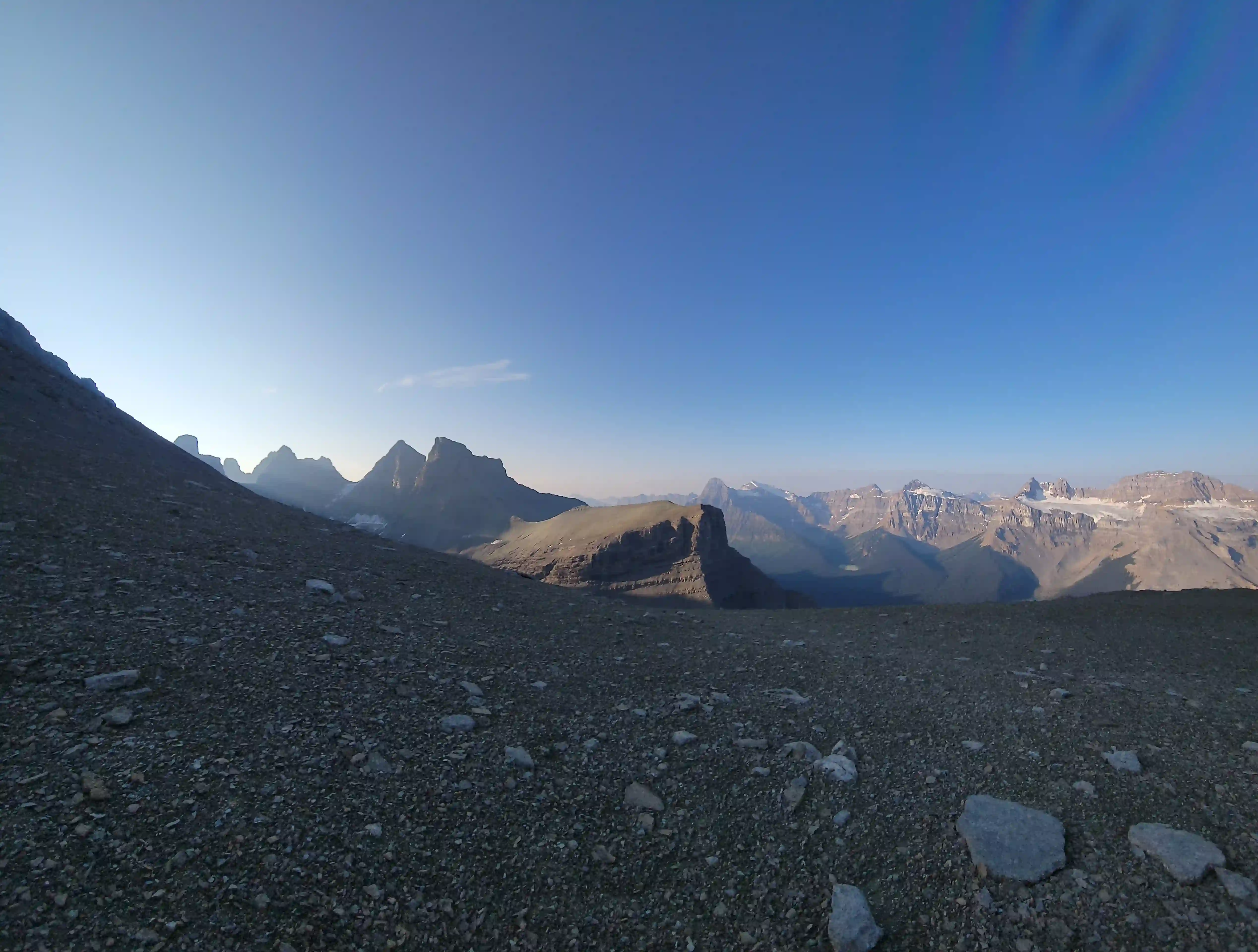
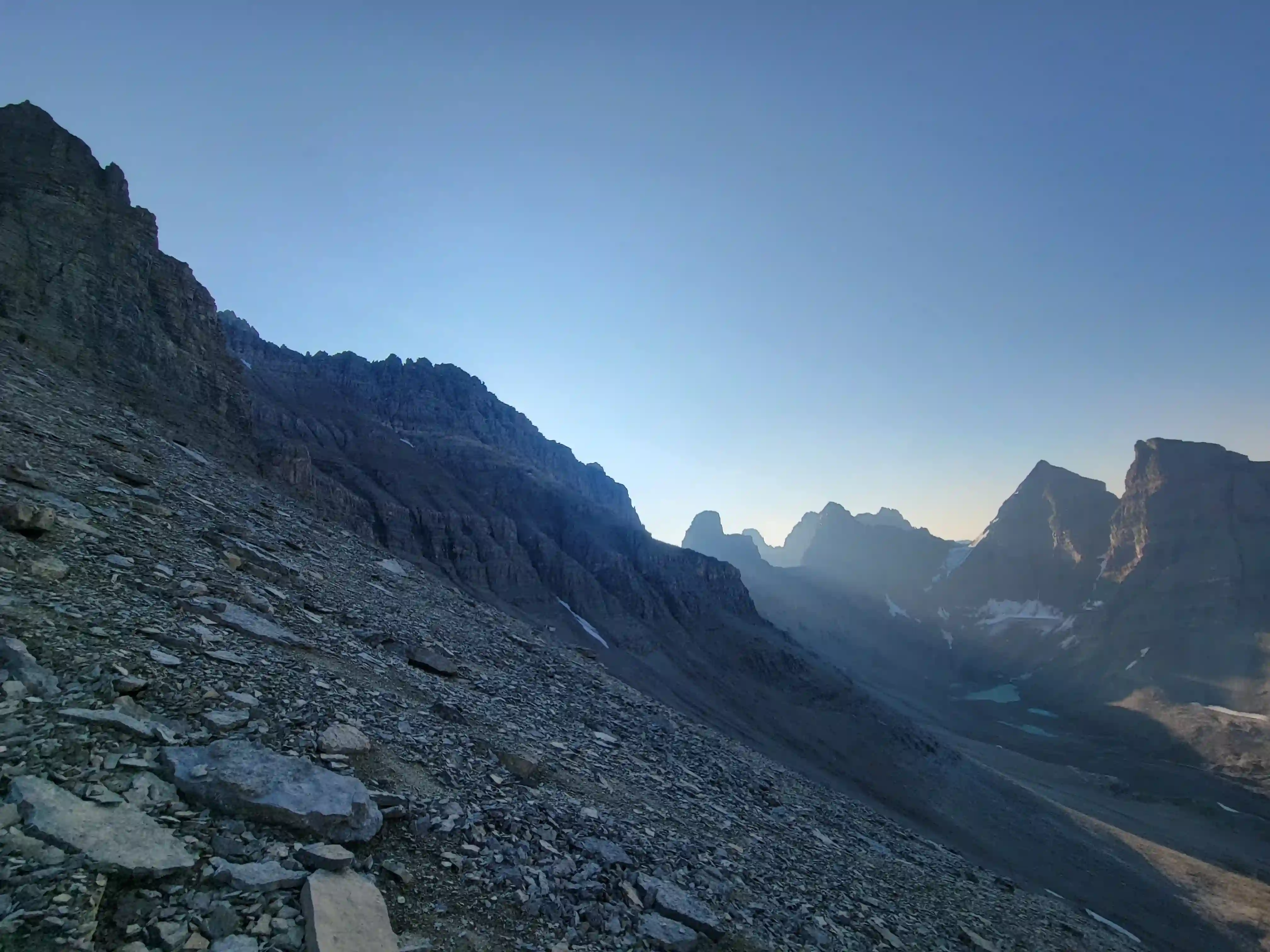
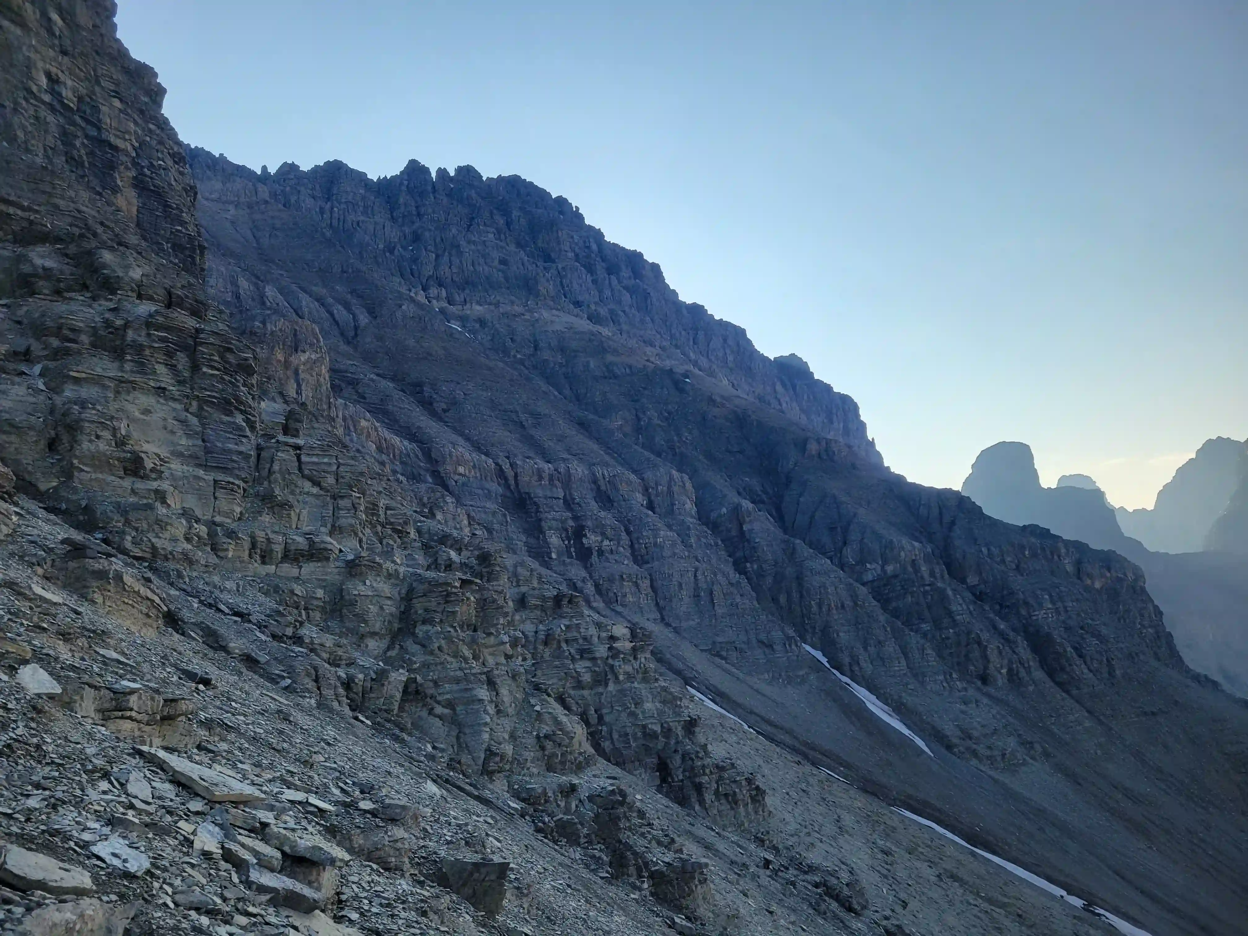
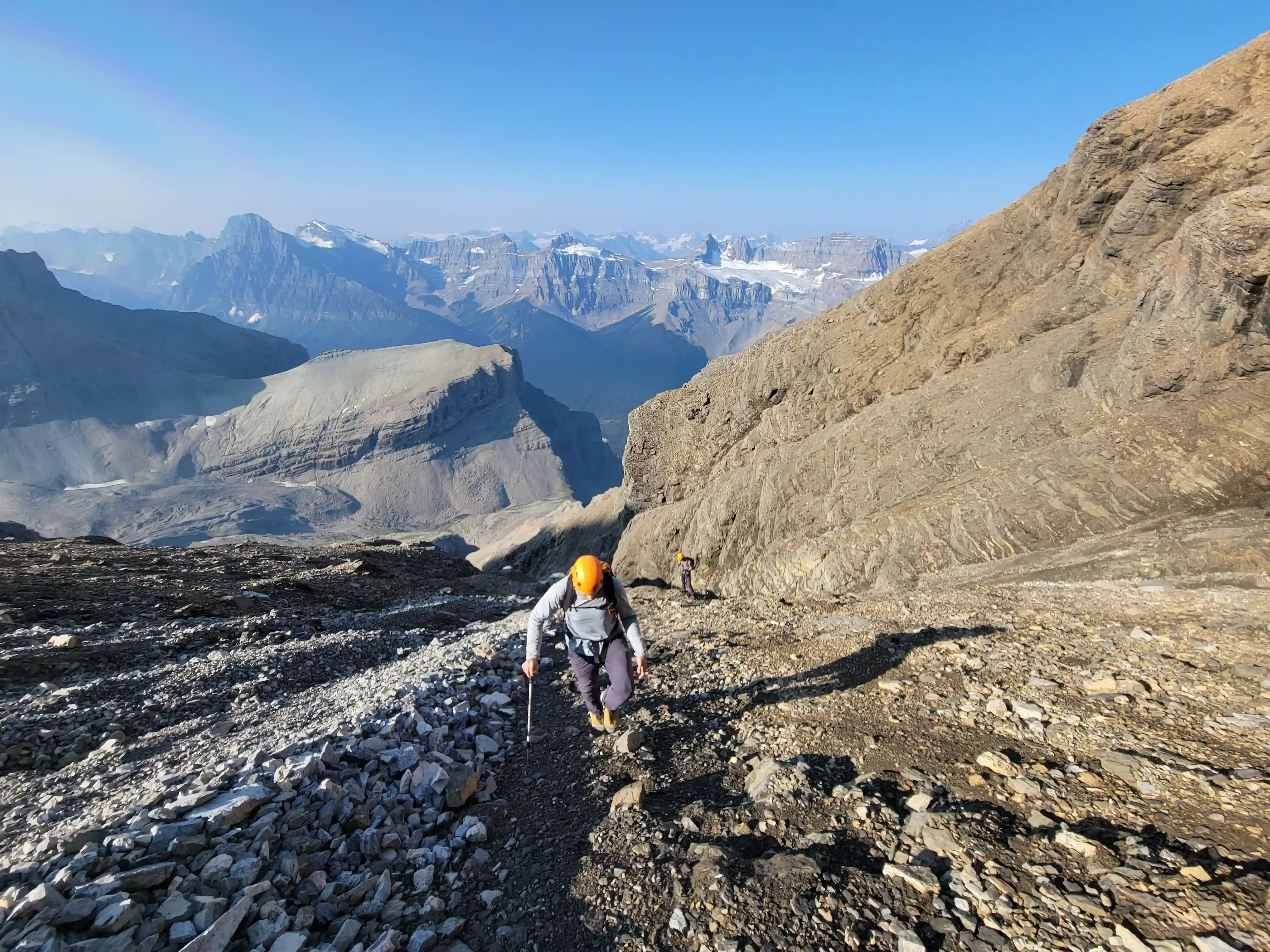
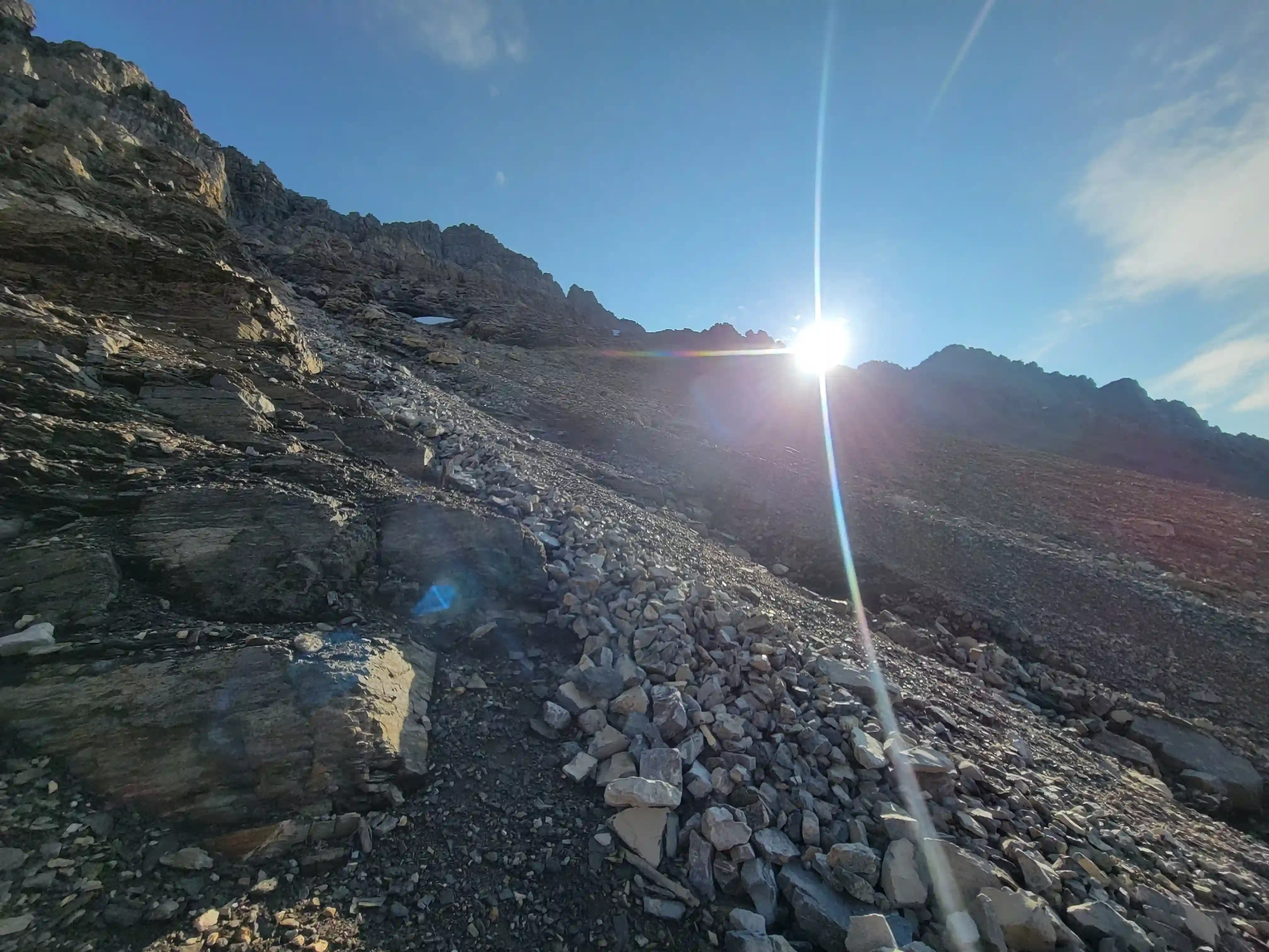
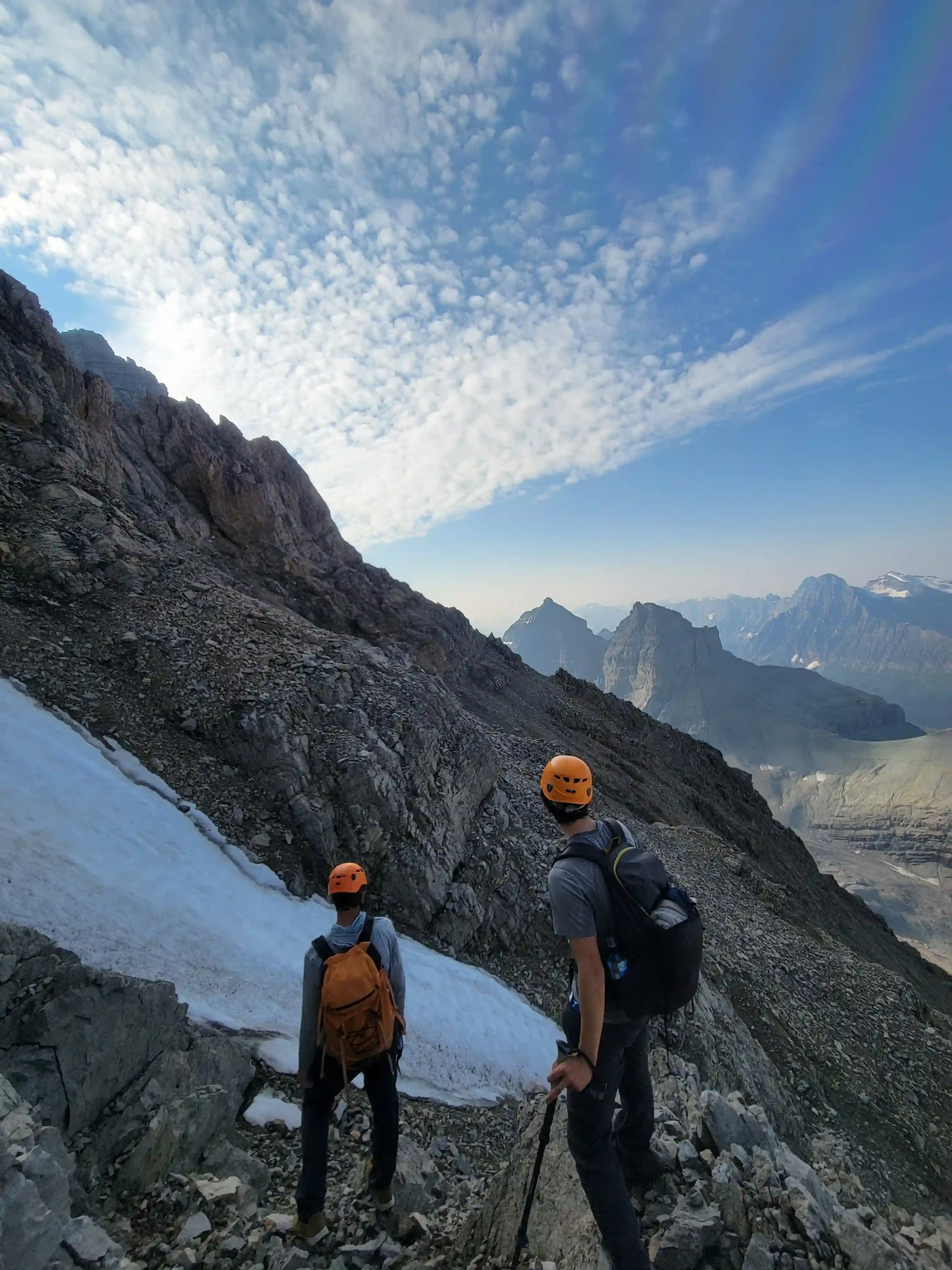
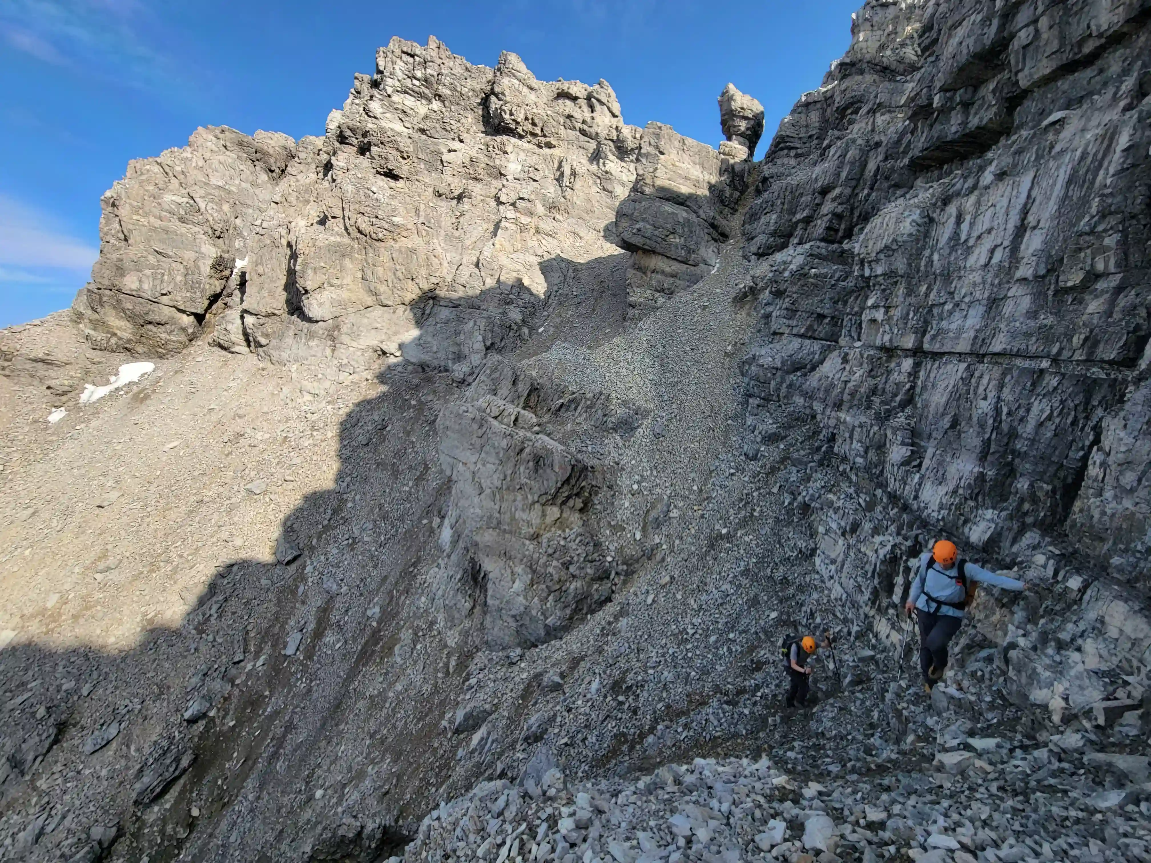
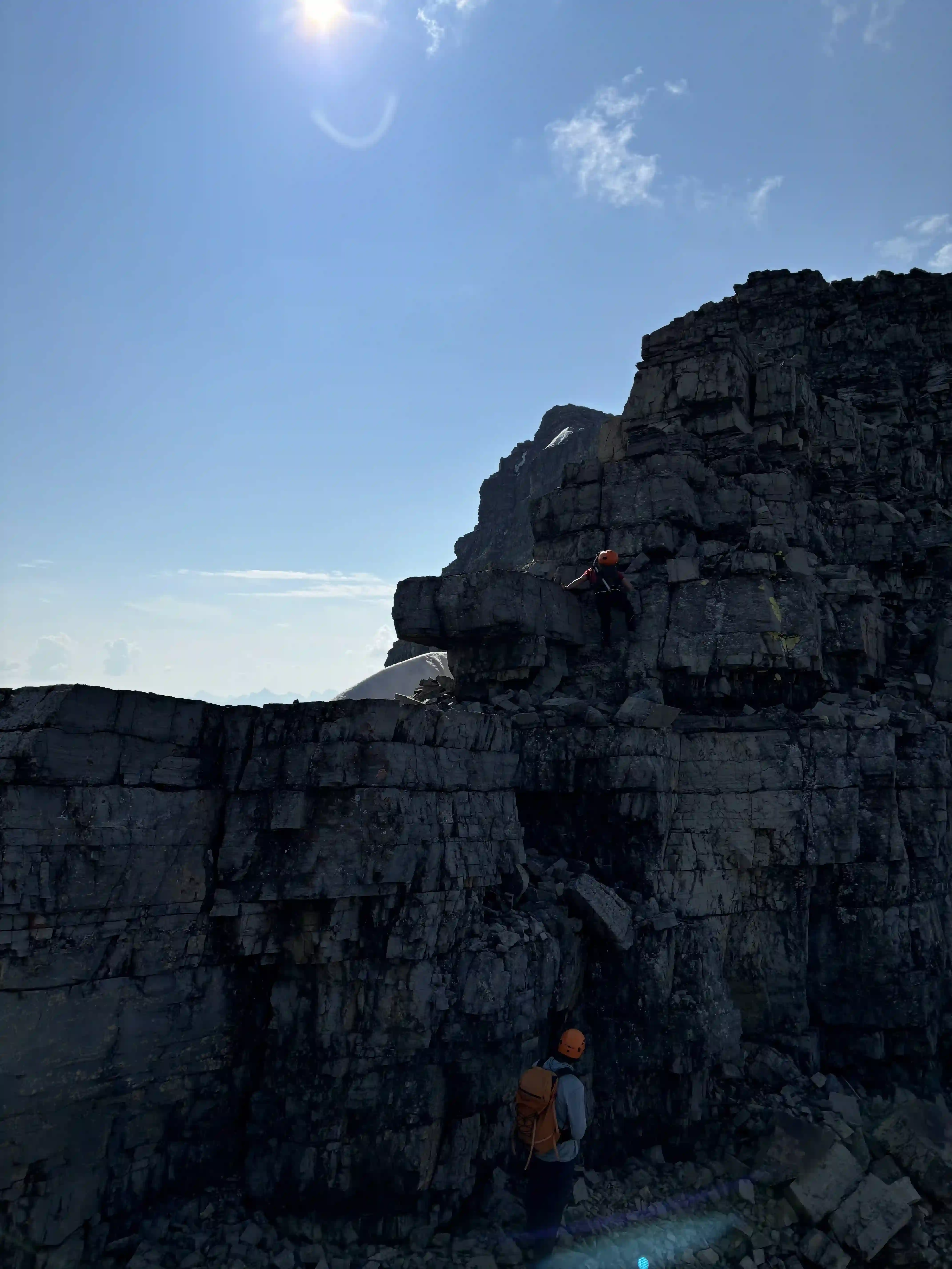
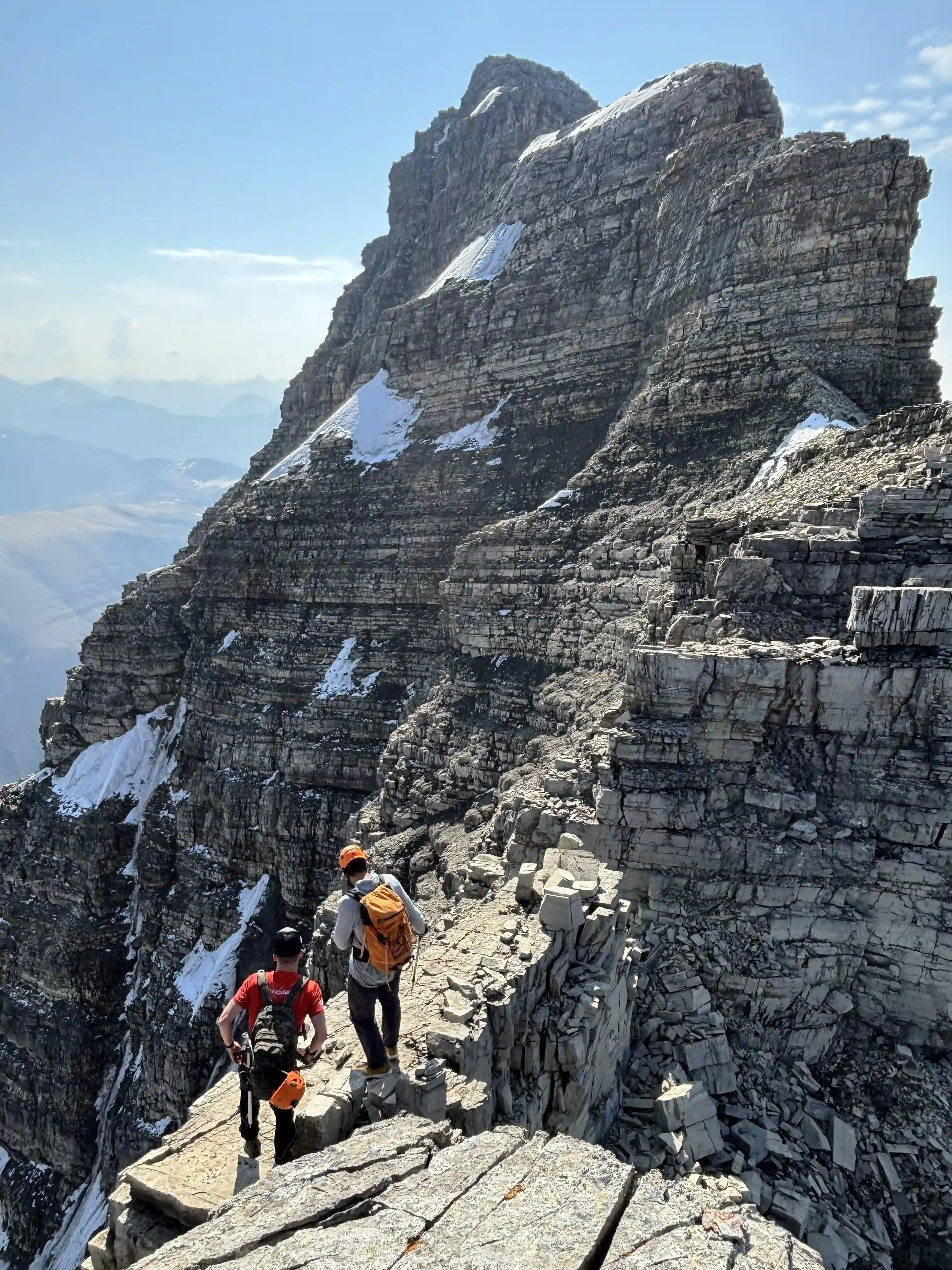
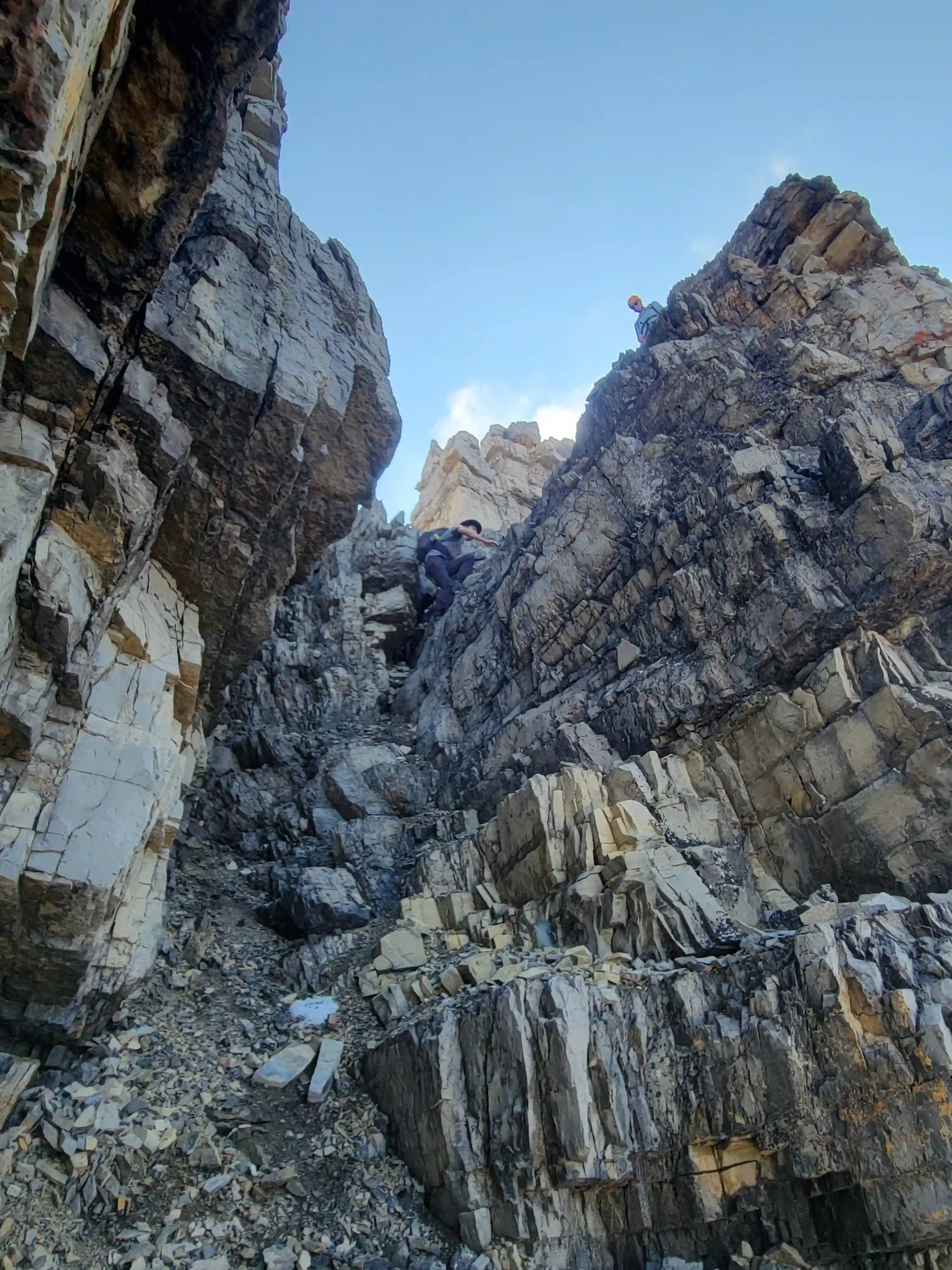
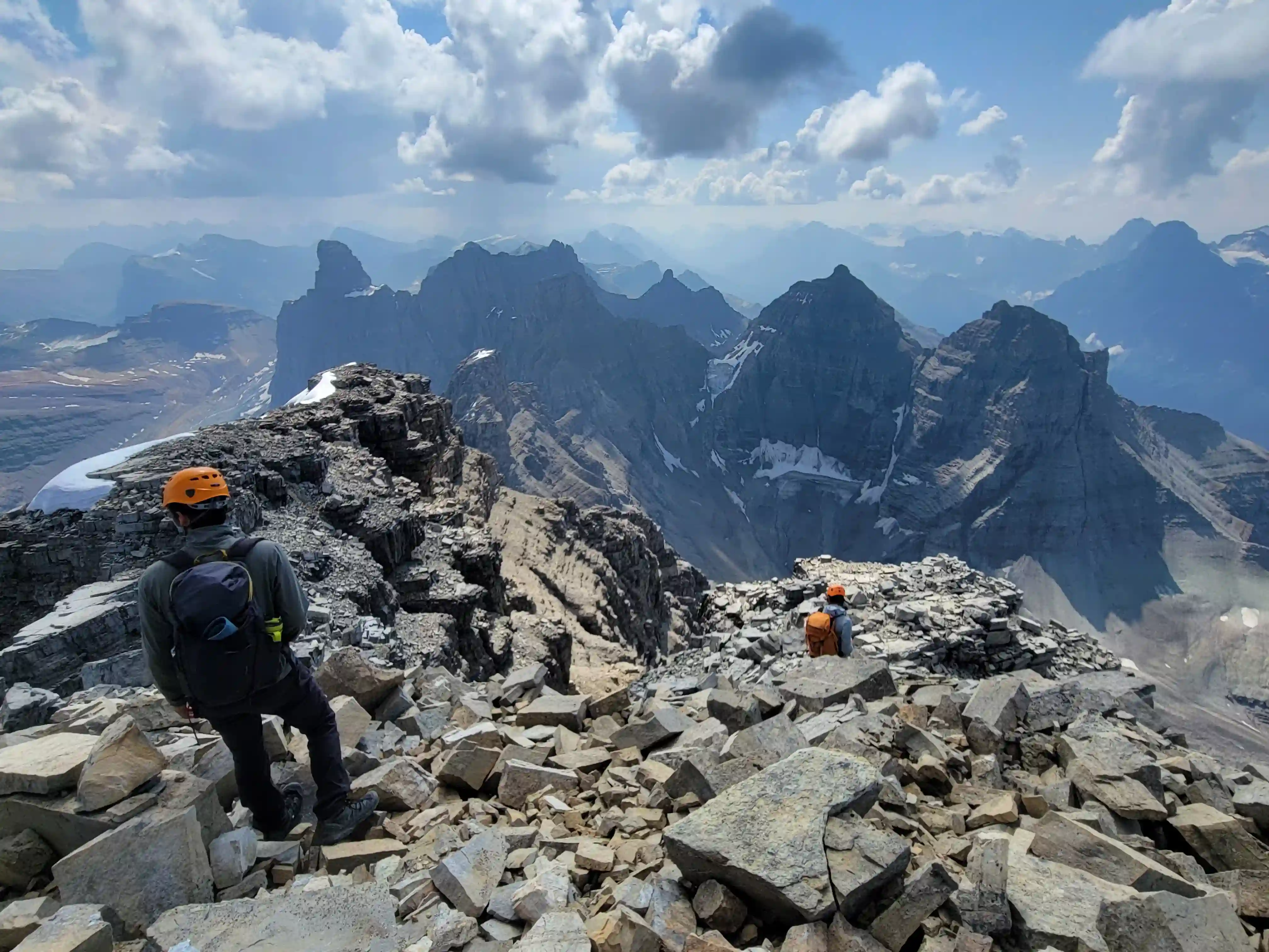
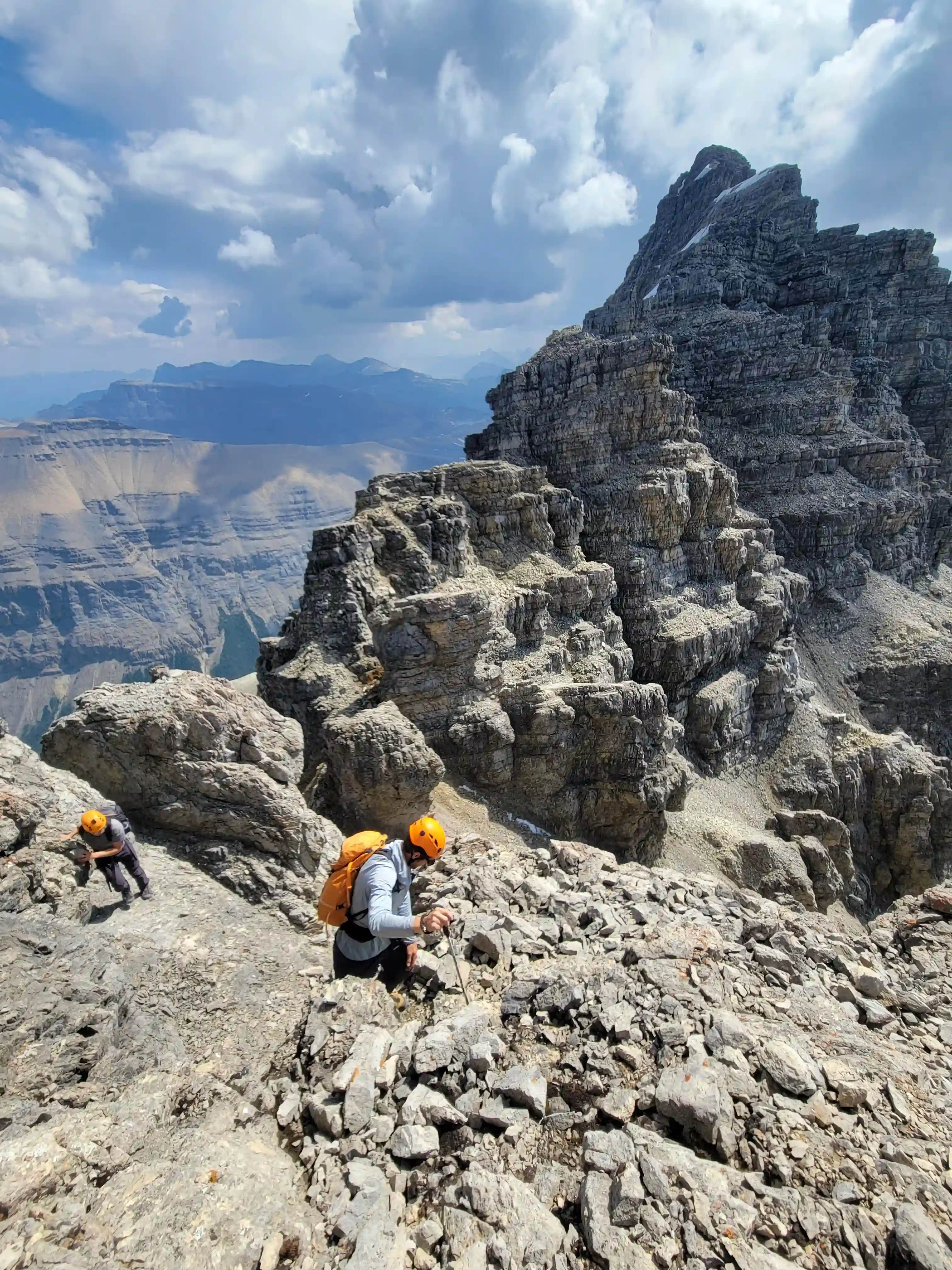
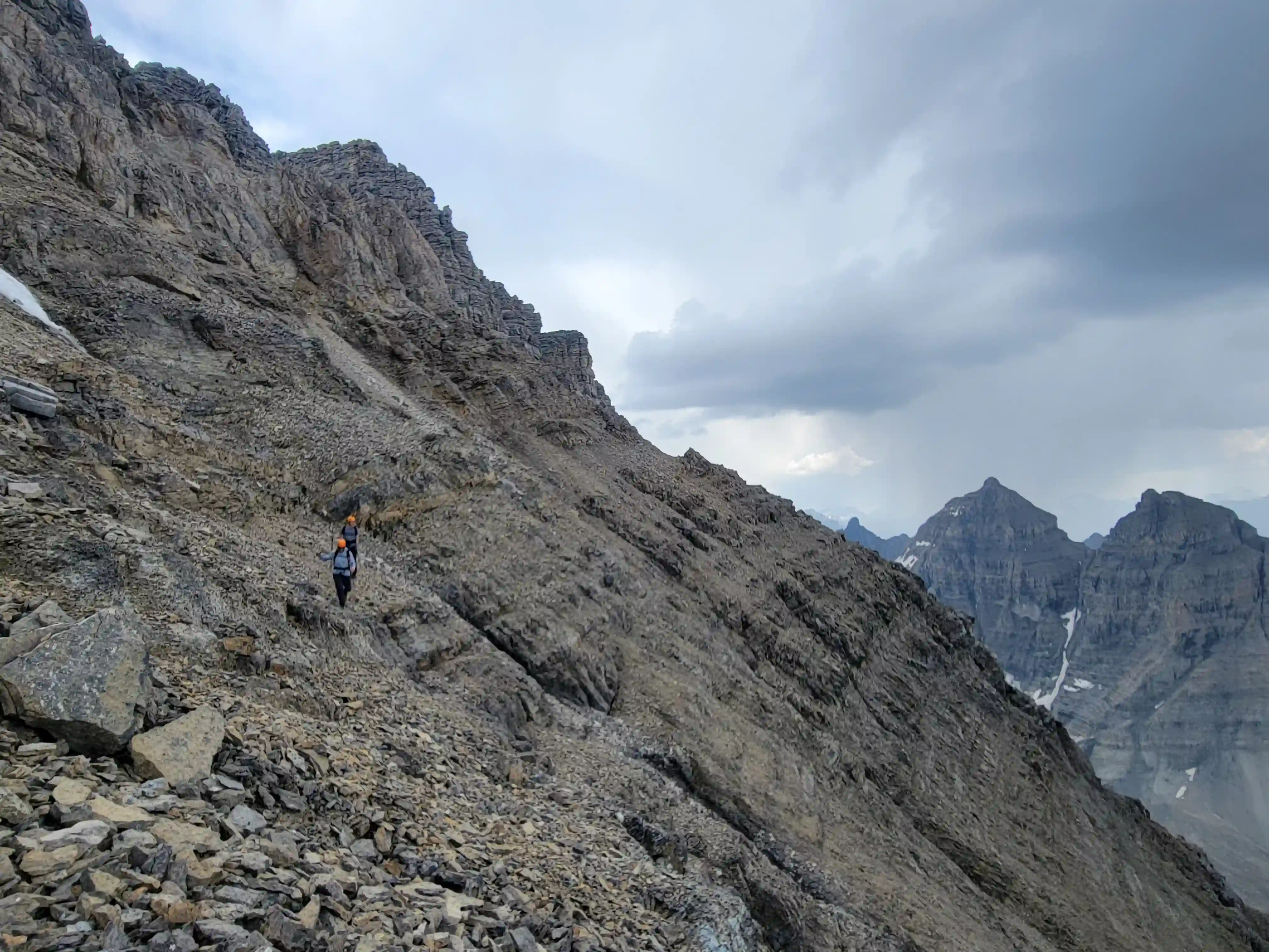
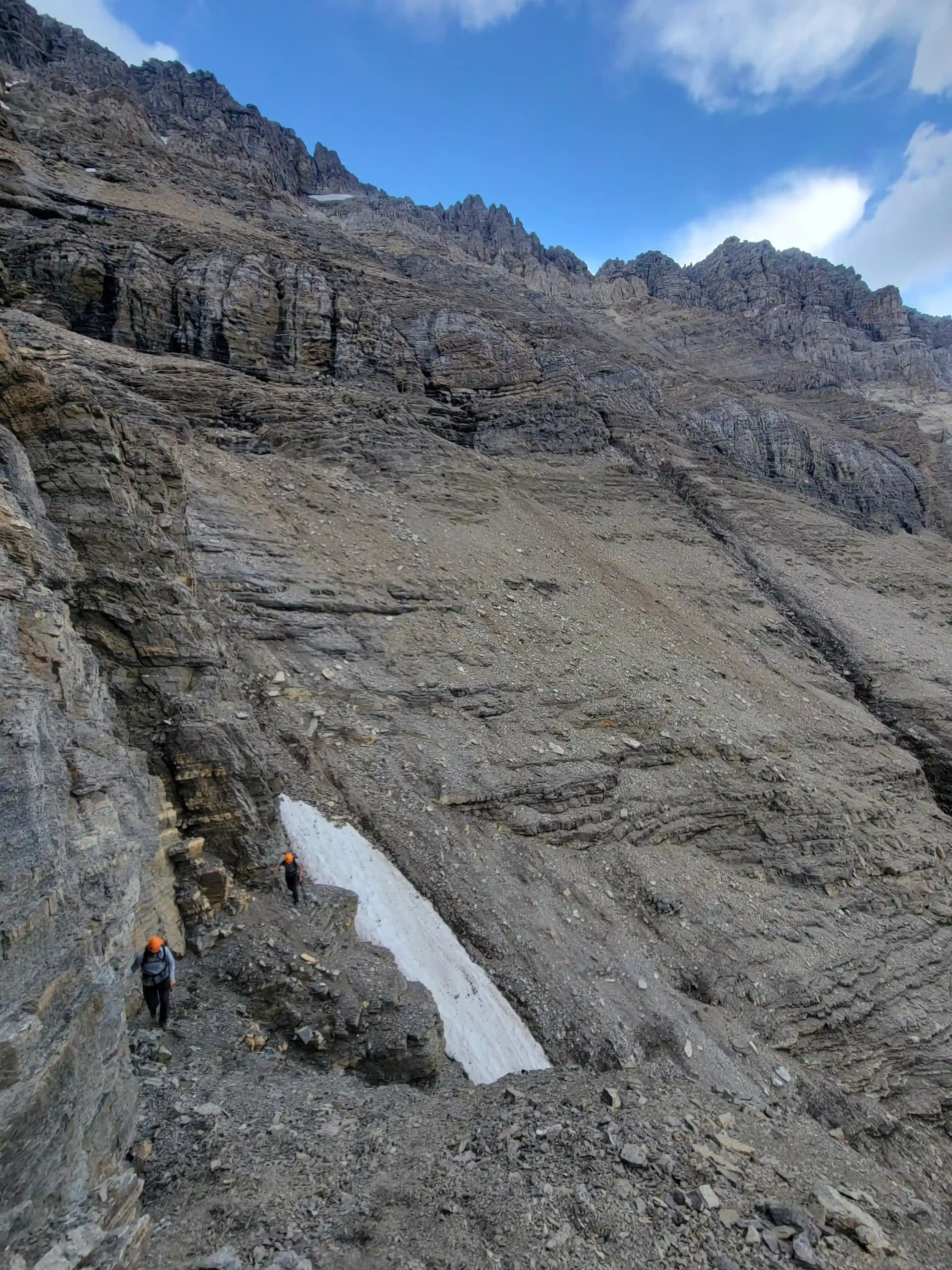
We were off by 5am and it didn't take long for us to get above treeline and begin the rubble trudge that is Mount Murchison. Looks rock was pretty much everywhere so we had to be careful not to knock anything loose on each other but a few more solid and steeper steps offered some fun hands on terrain where we didn't have to worry as much. After reaching a high plateau and taking a short break we headed for the upper mountain and things got looser and steeper. The redeeming quality was that this section didn't last long and after traversing climber's right and gaining some final elevation we were on the ridge and things got significantly more solid.
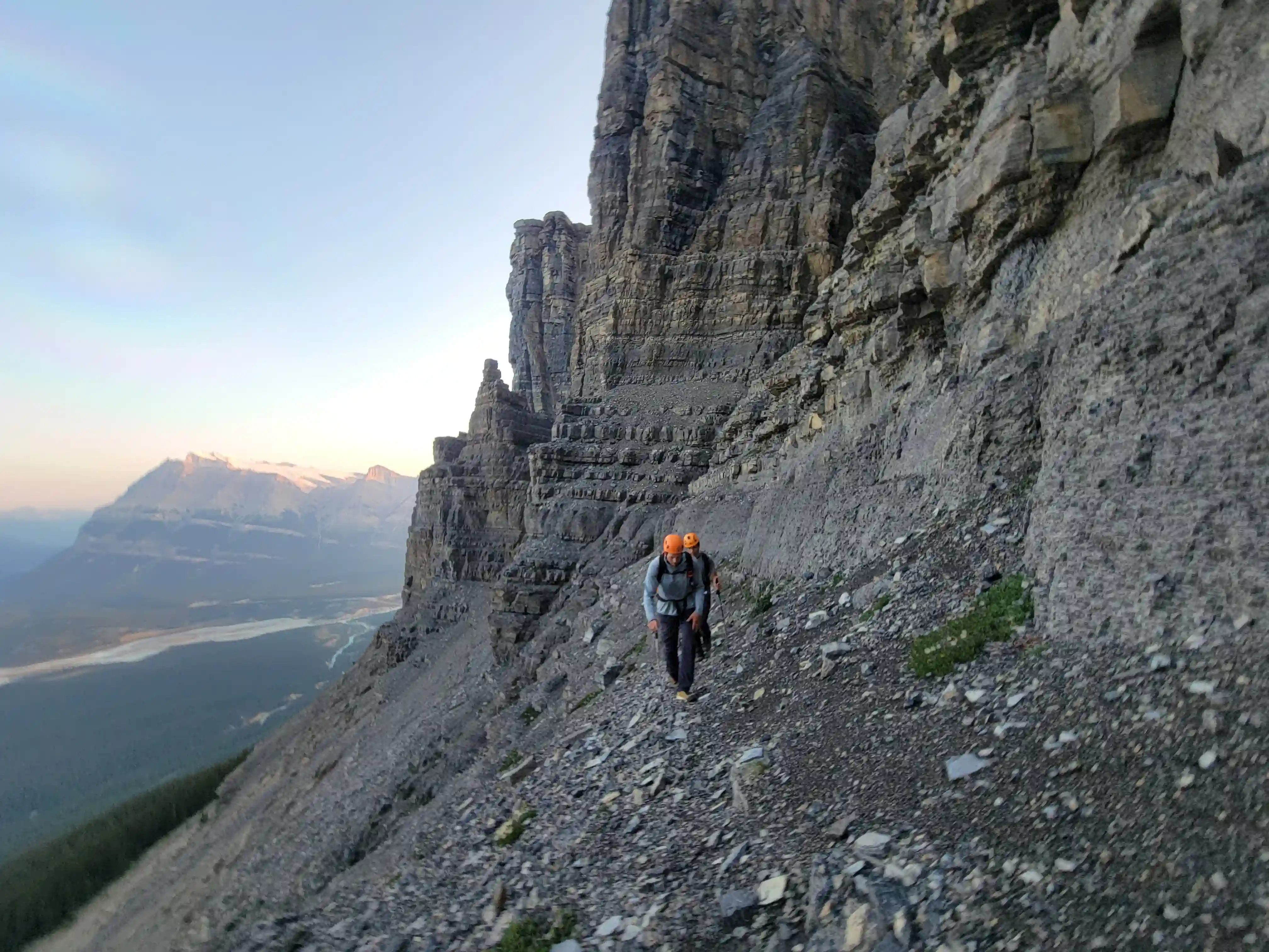
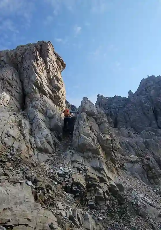
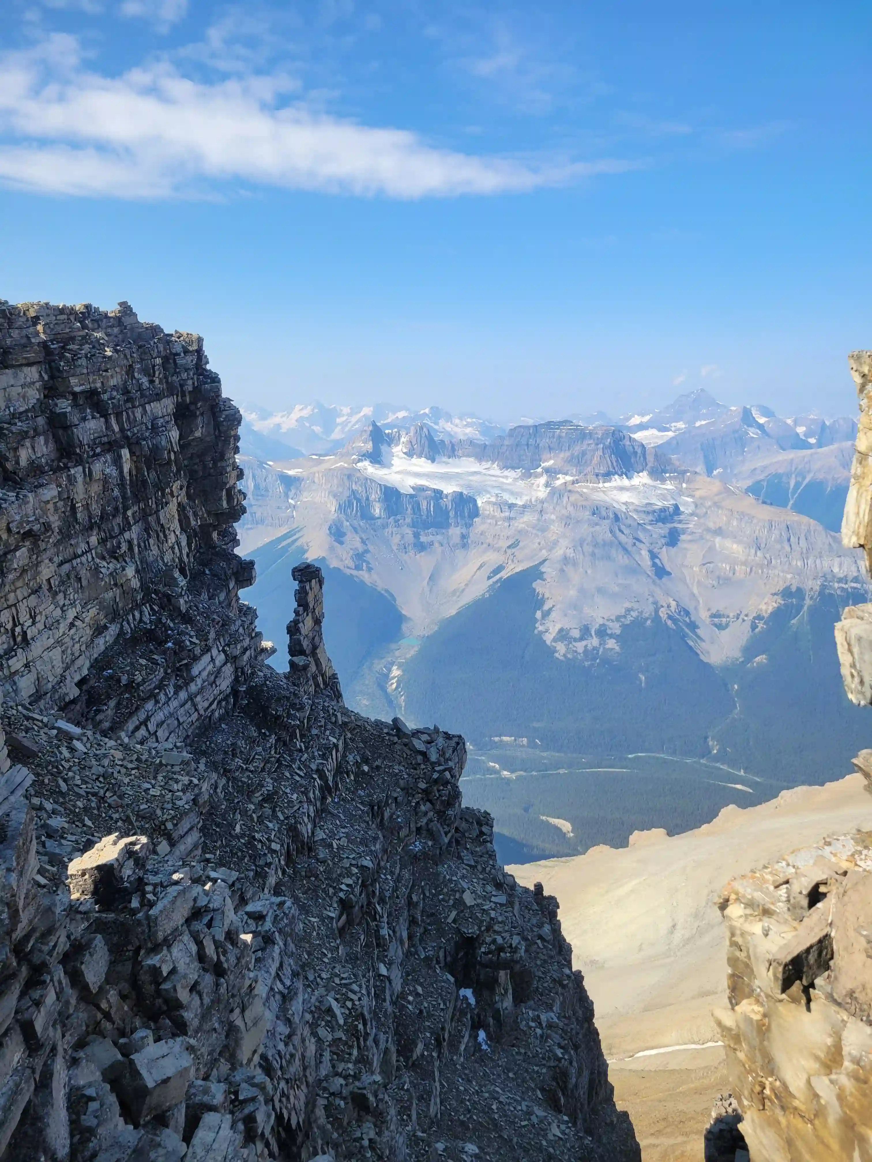
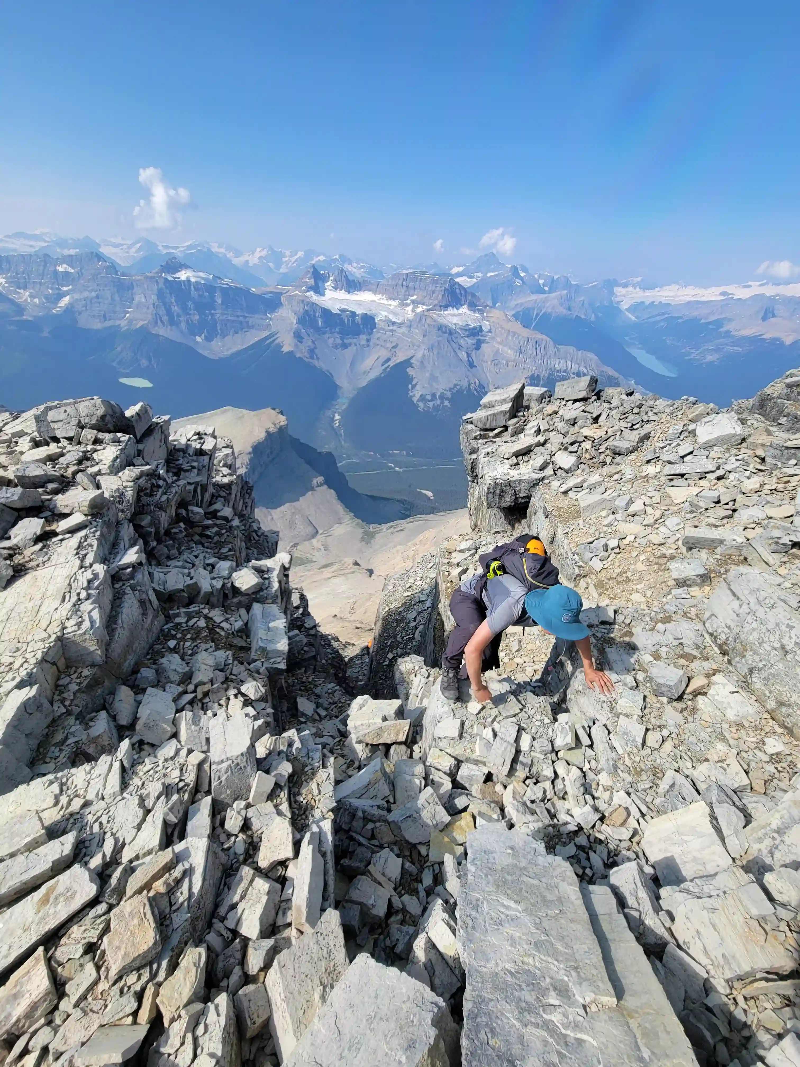
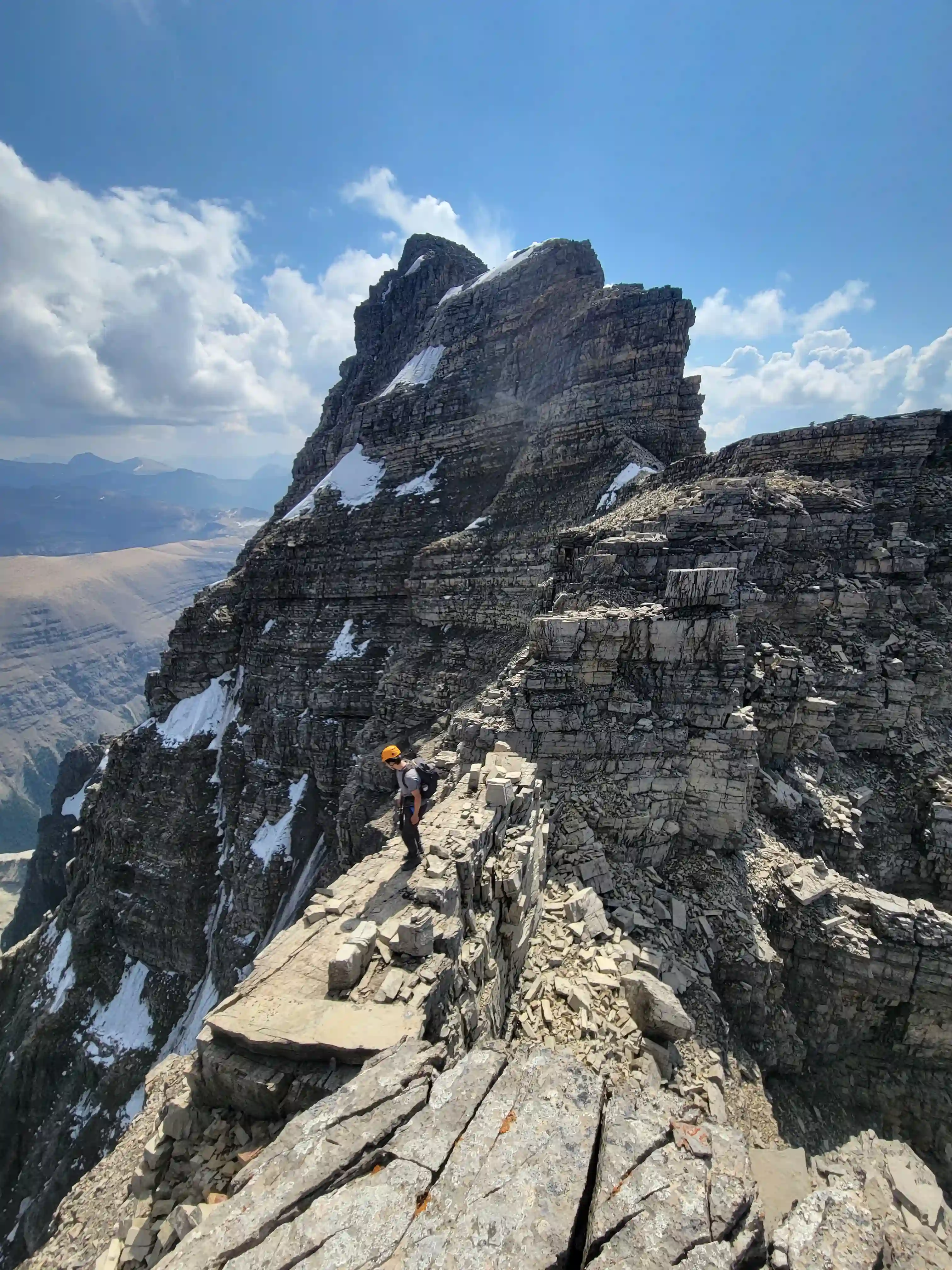
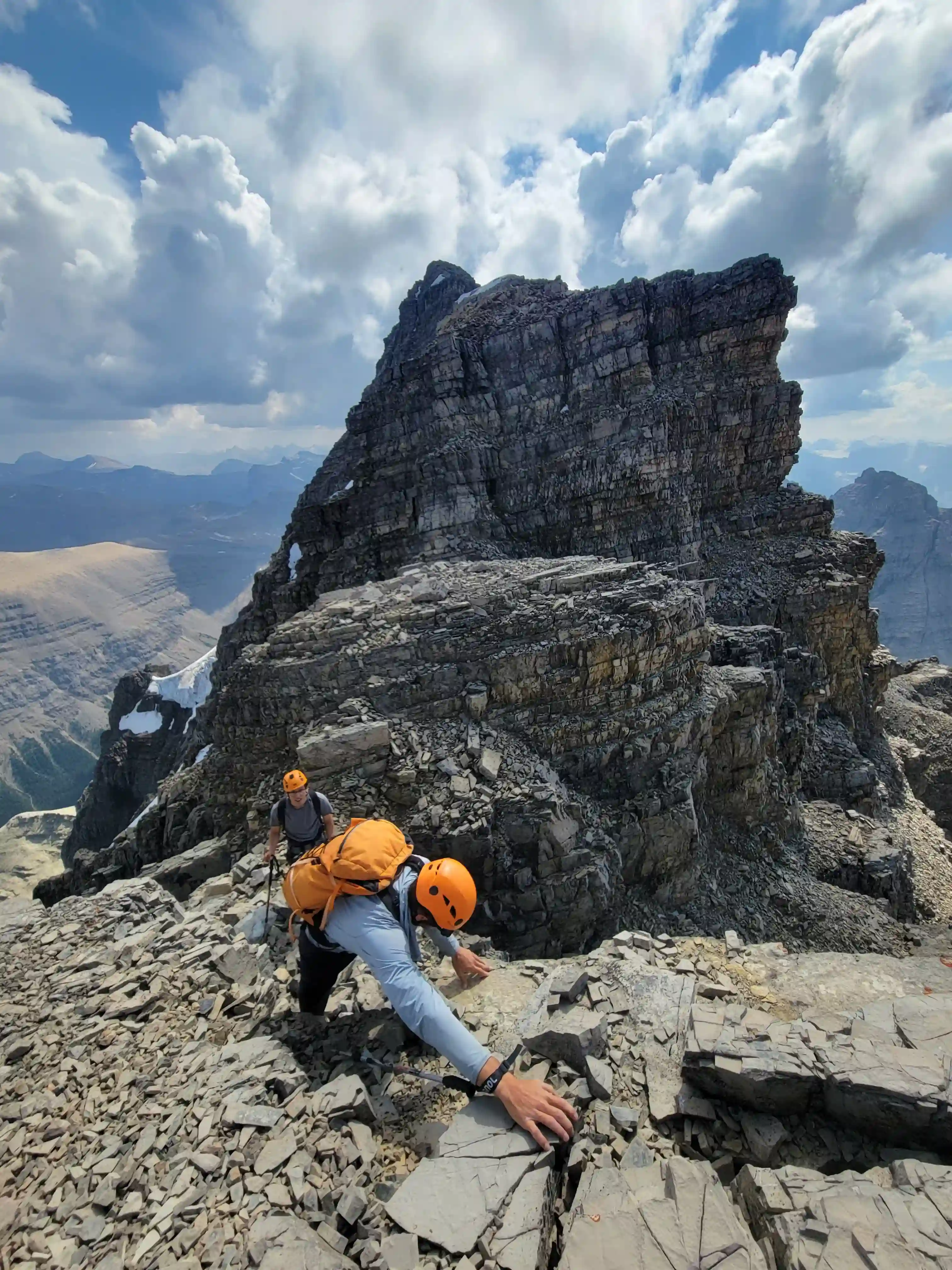
This final section of our ascent was the most fun part of the day and even with more difficult scrambling / climbing and added exposure the more solid rock quality made it very manageable. The only issue we had just before the summit was thinking we had to follow a ledge to get to our chimney when we still had more ascending to do. The final summit block is obvious once you reach it so sticking as close as possible to the ridge is the play through this section. Soon after we corrected our error and were headed up some final hands on terrain to reach the summit of Murchison.
links:
STRAVA
|
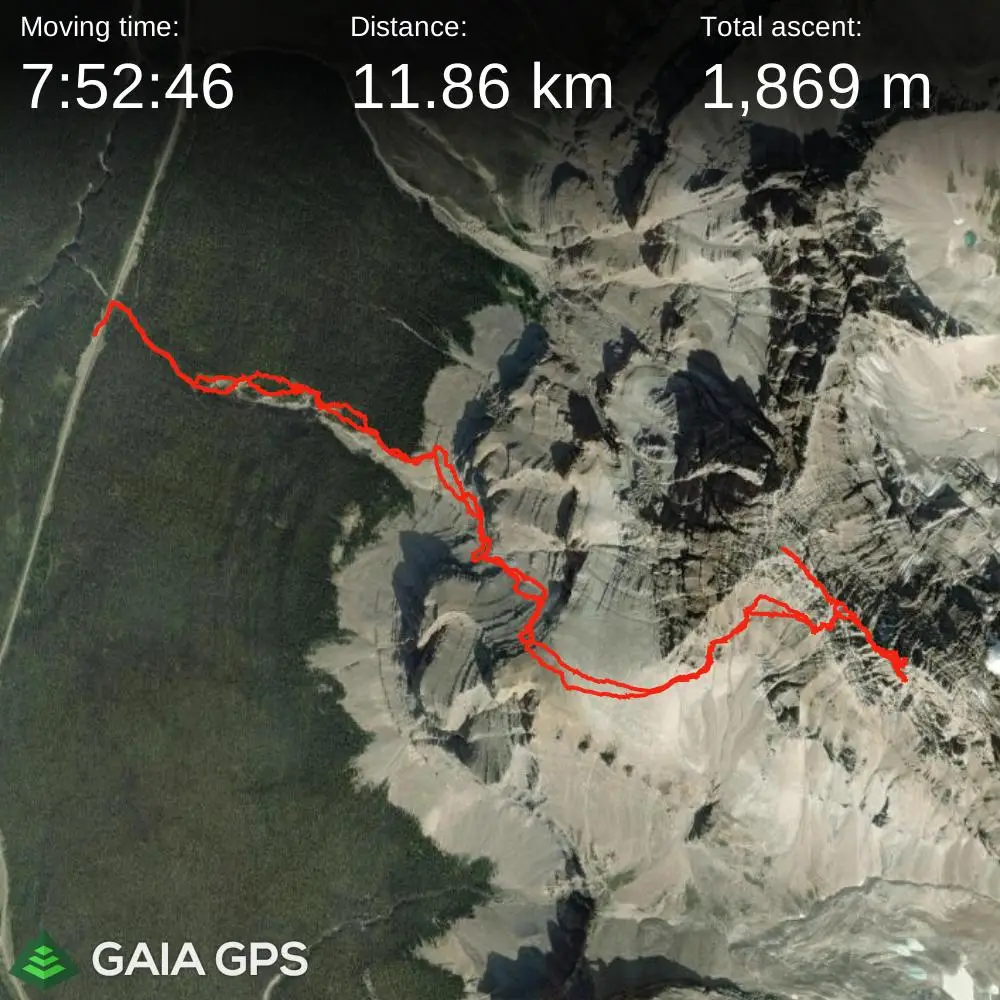
GAIA
elapsed time: 12hrs
DIFFICULTY: PD+/AD-, 5th class up to 5.4
Use the following links to jump to:
Follow the journey
I'll send you an email when a new trip report drops.
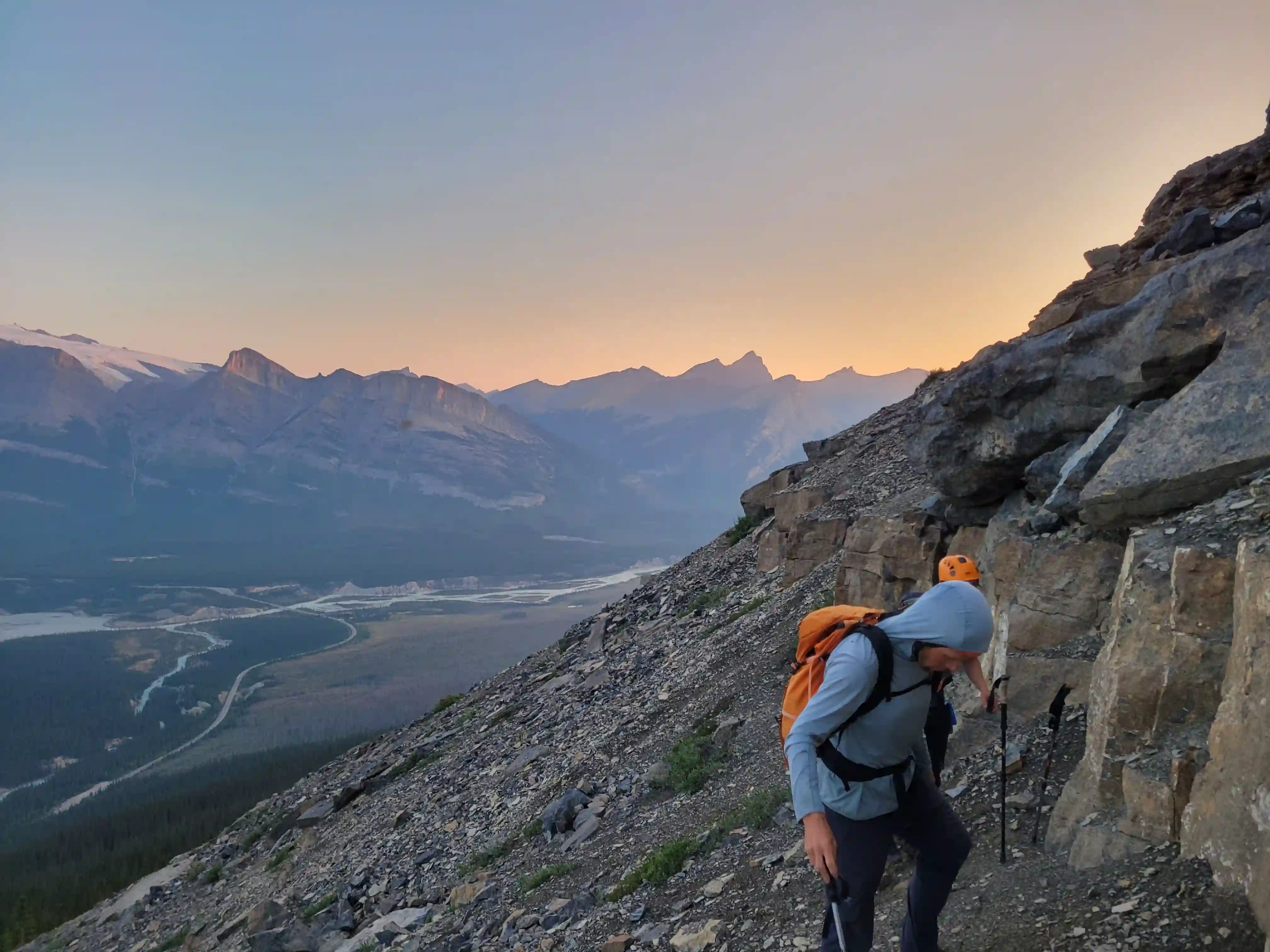
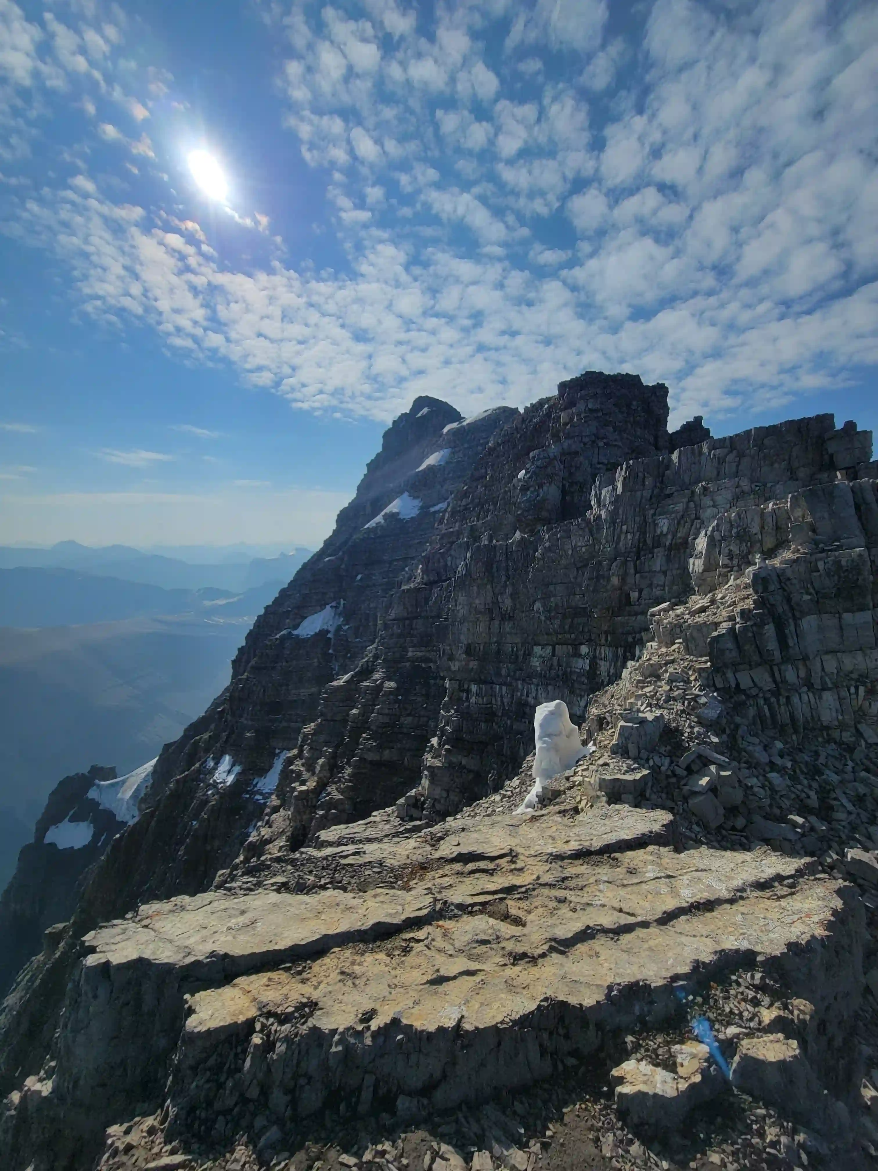
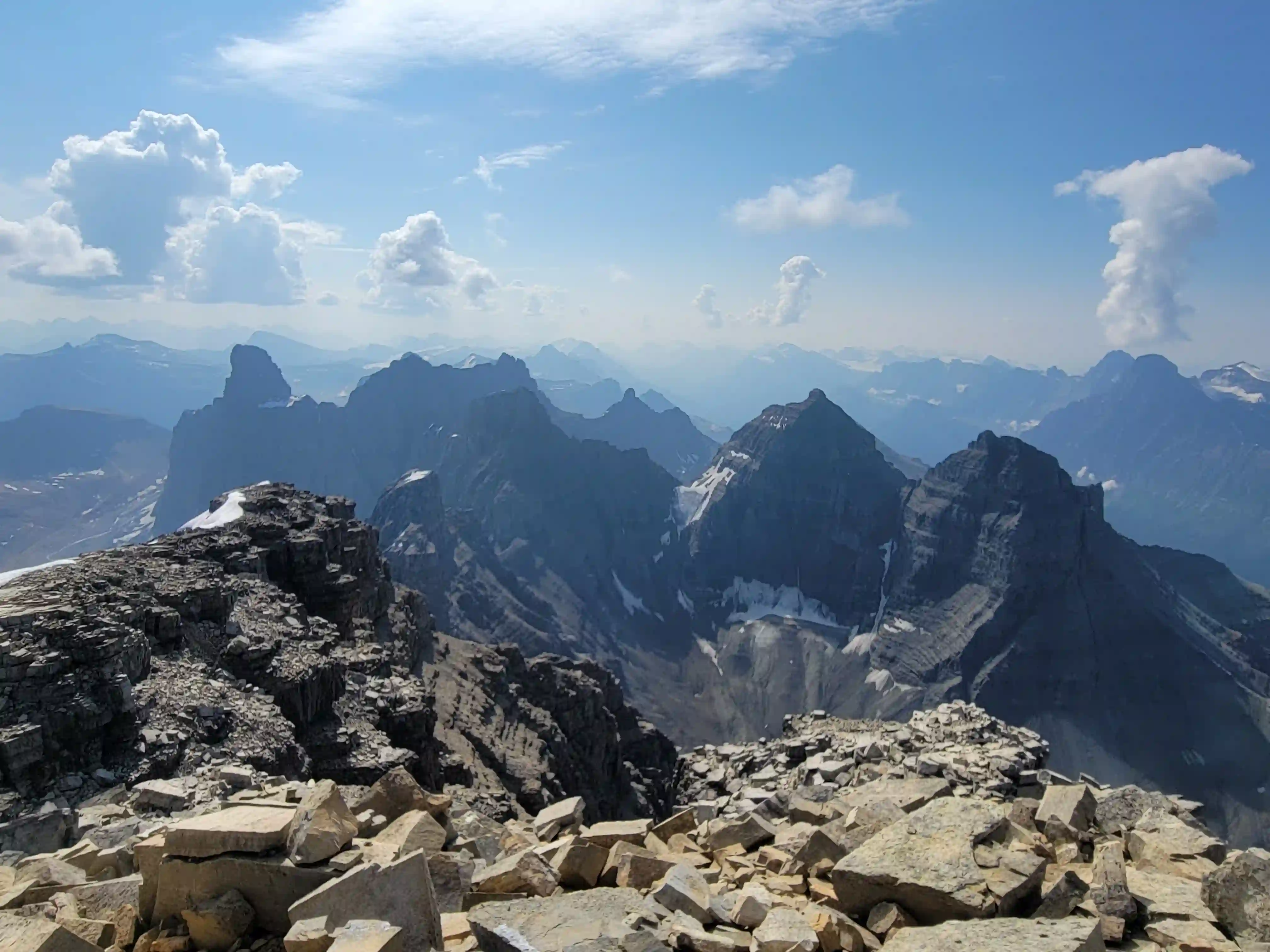
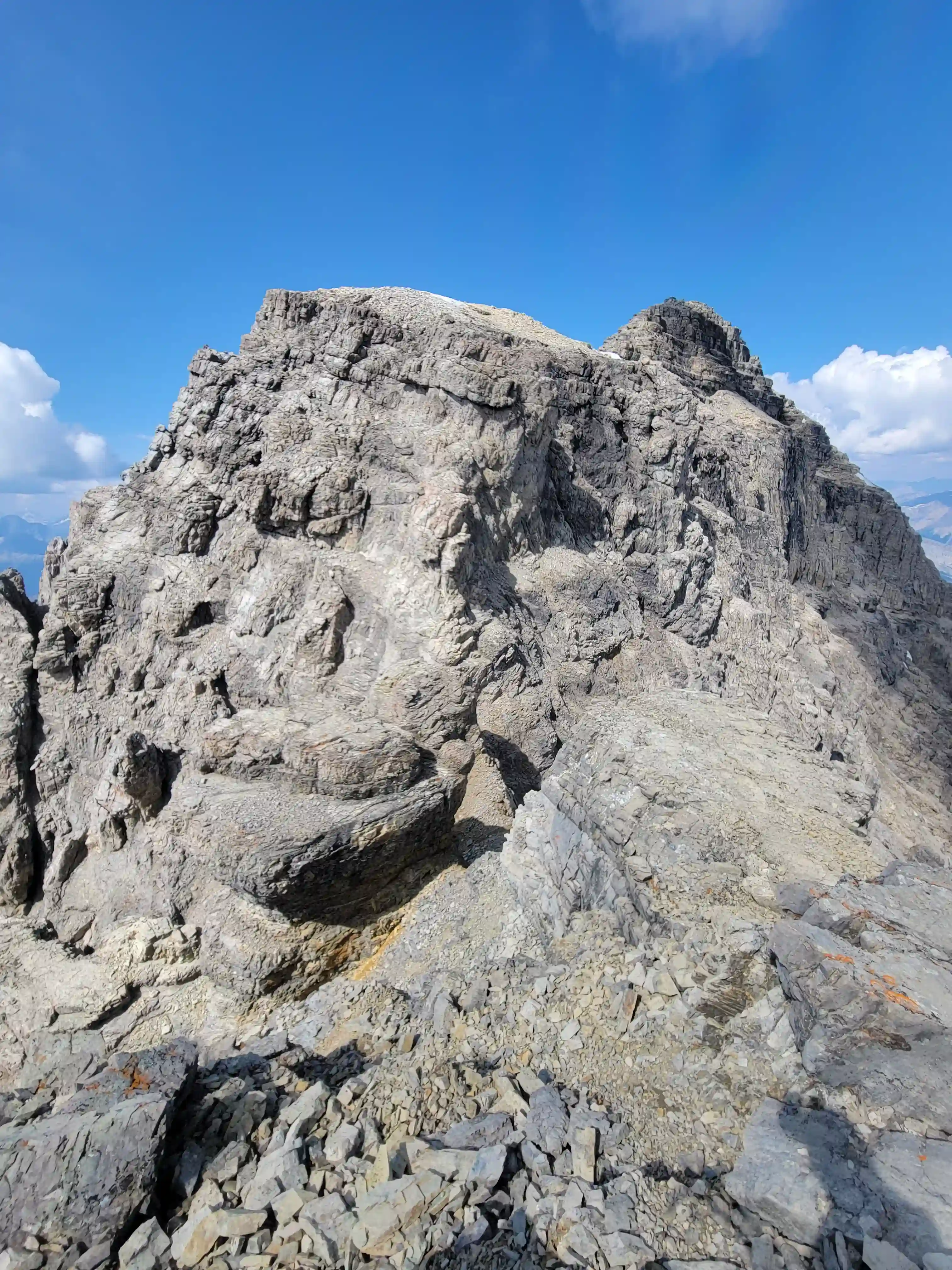
THE UPPER MOUNTAIN
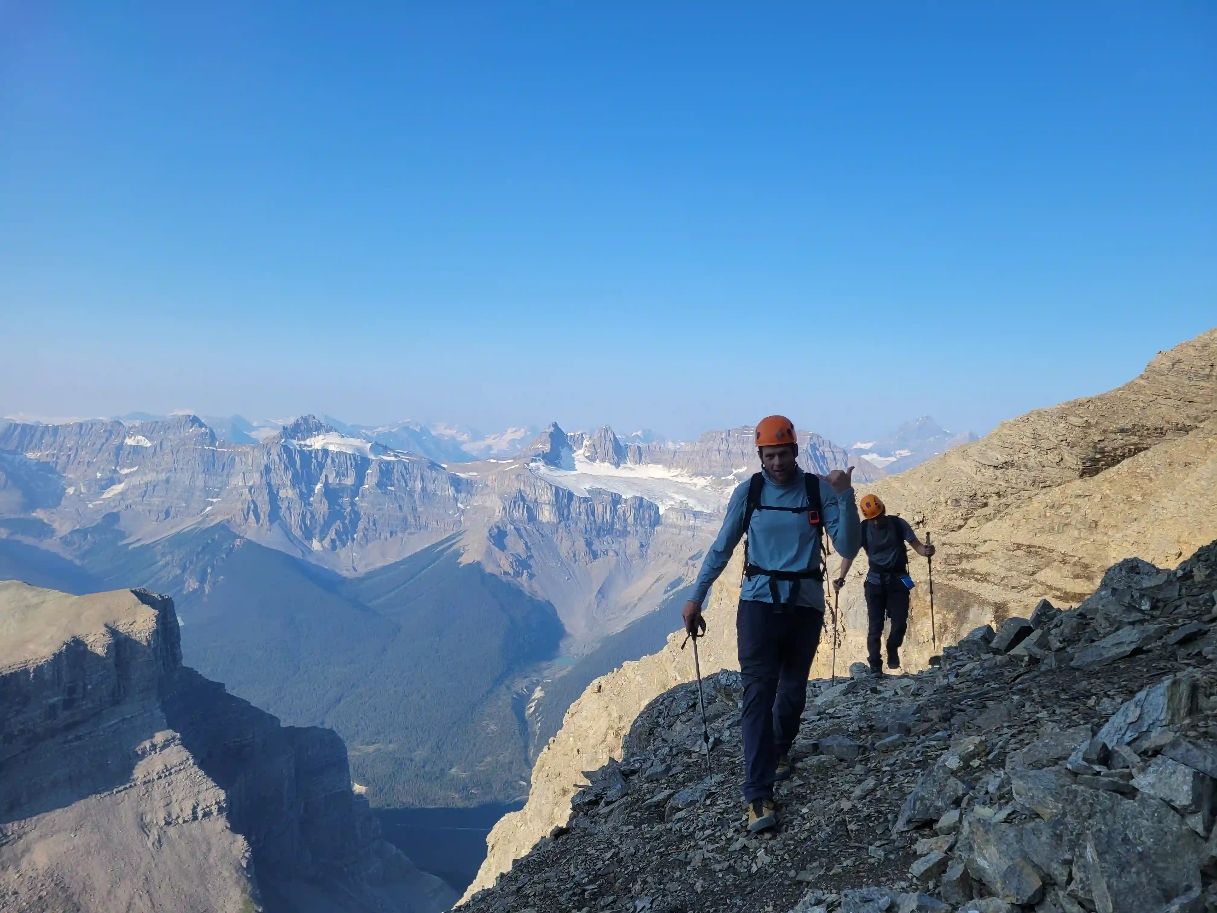
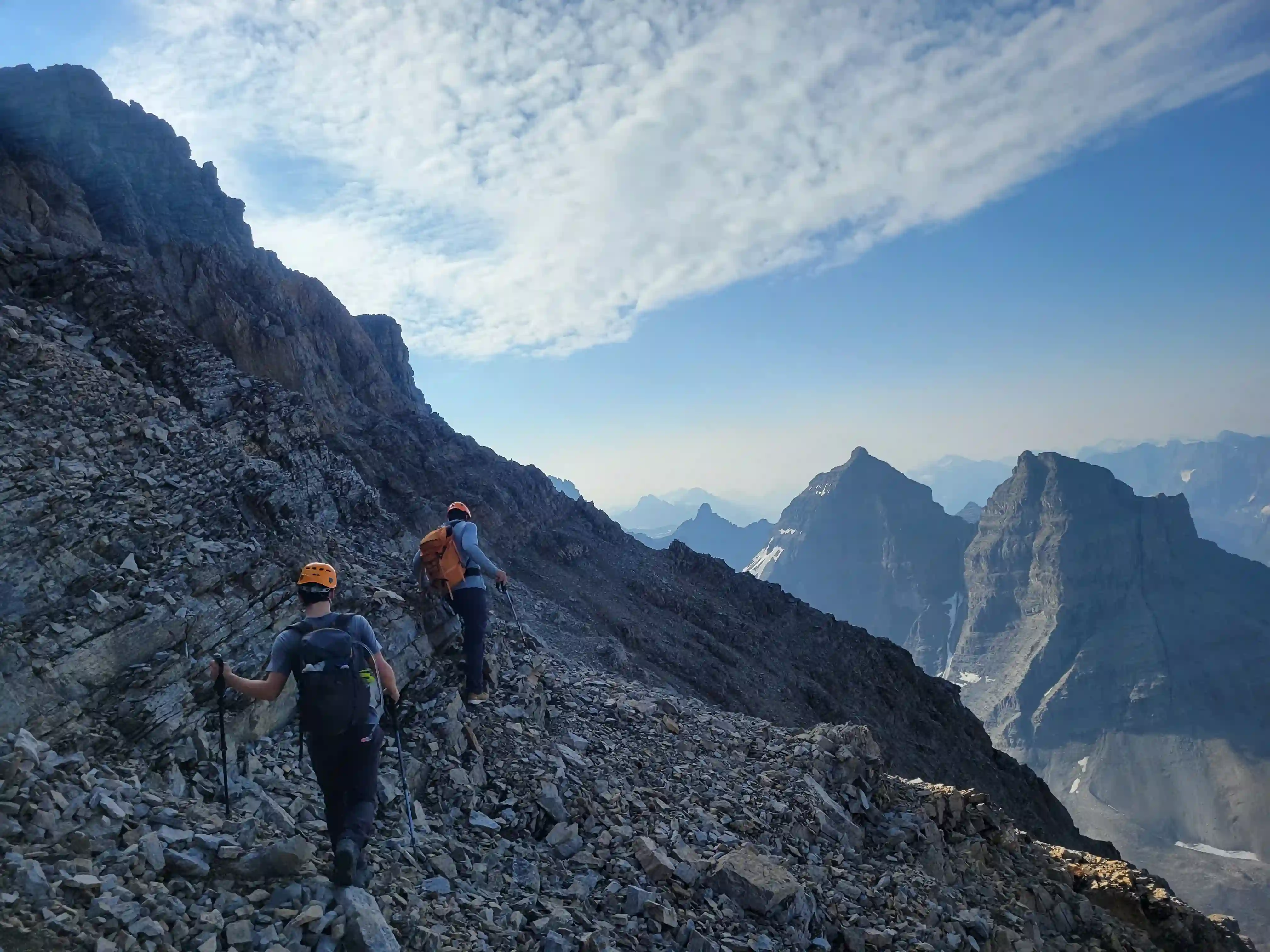
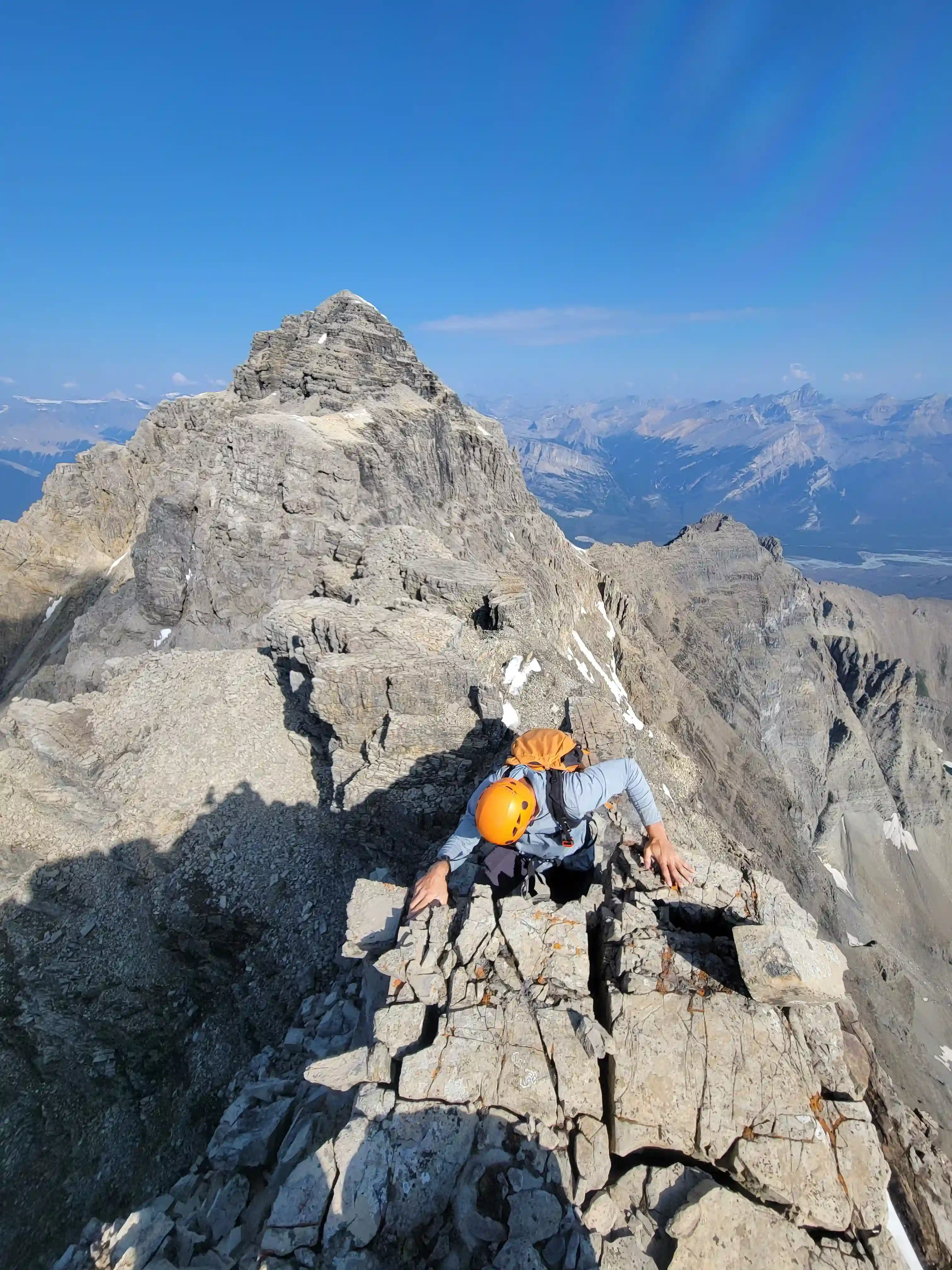
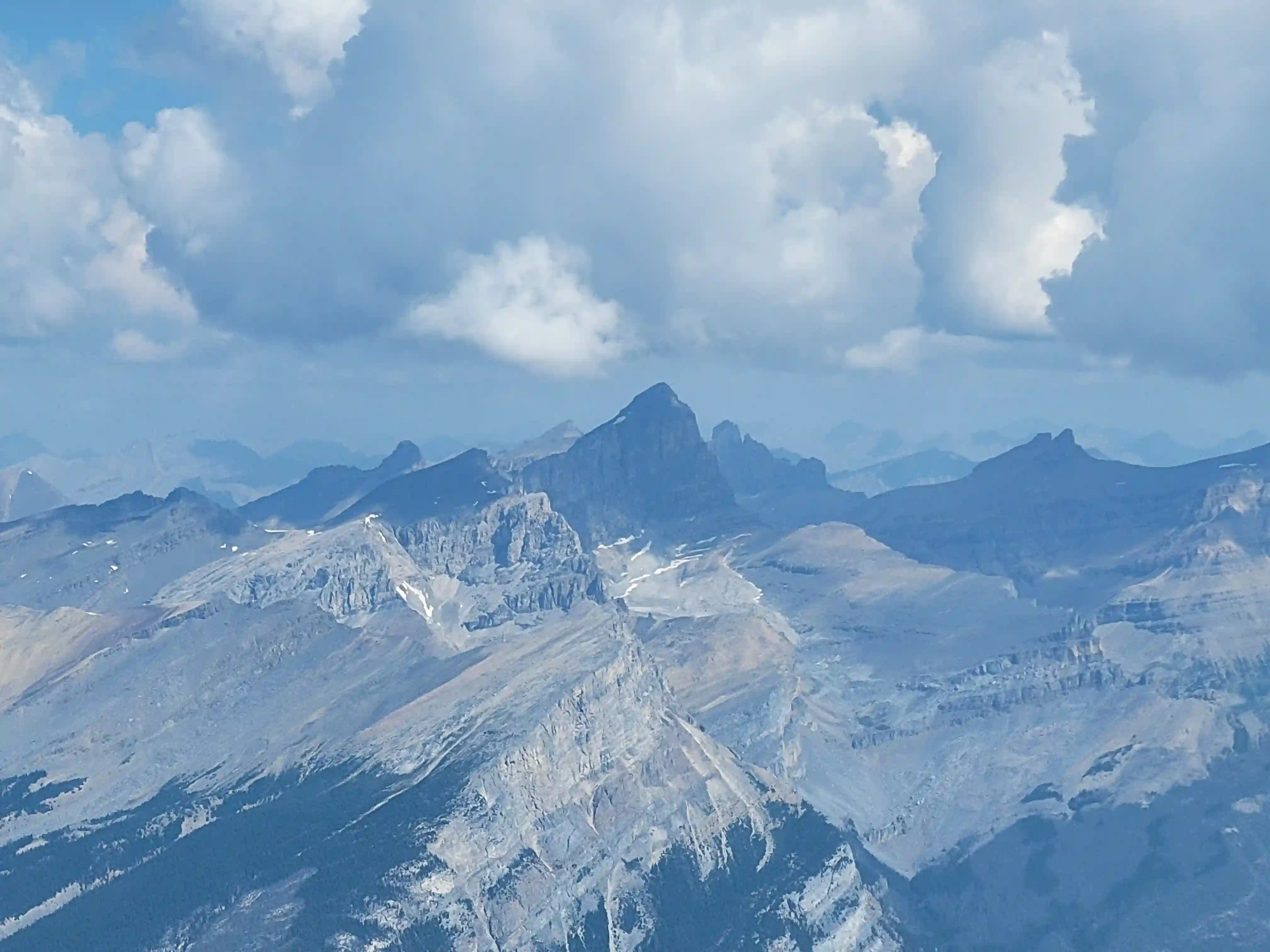
THE RIDGE
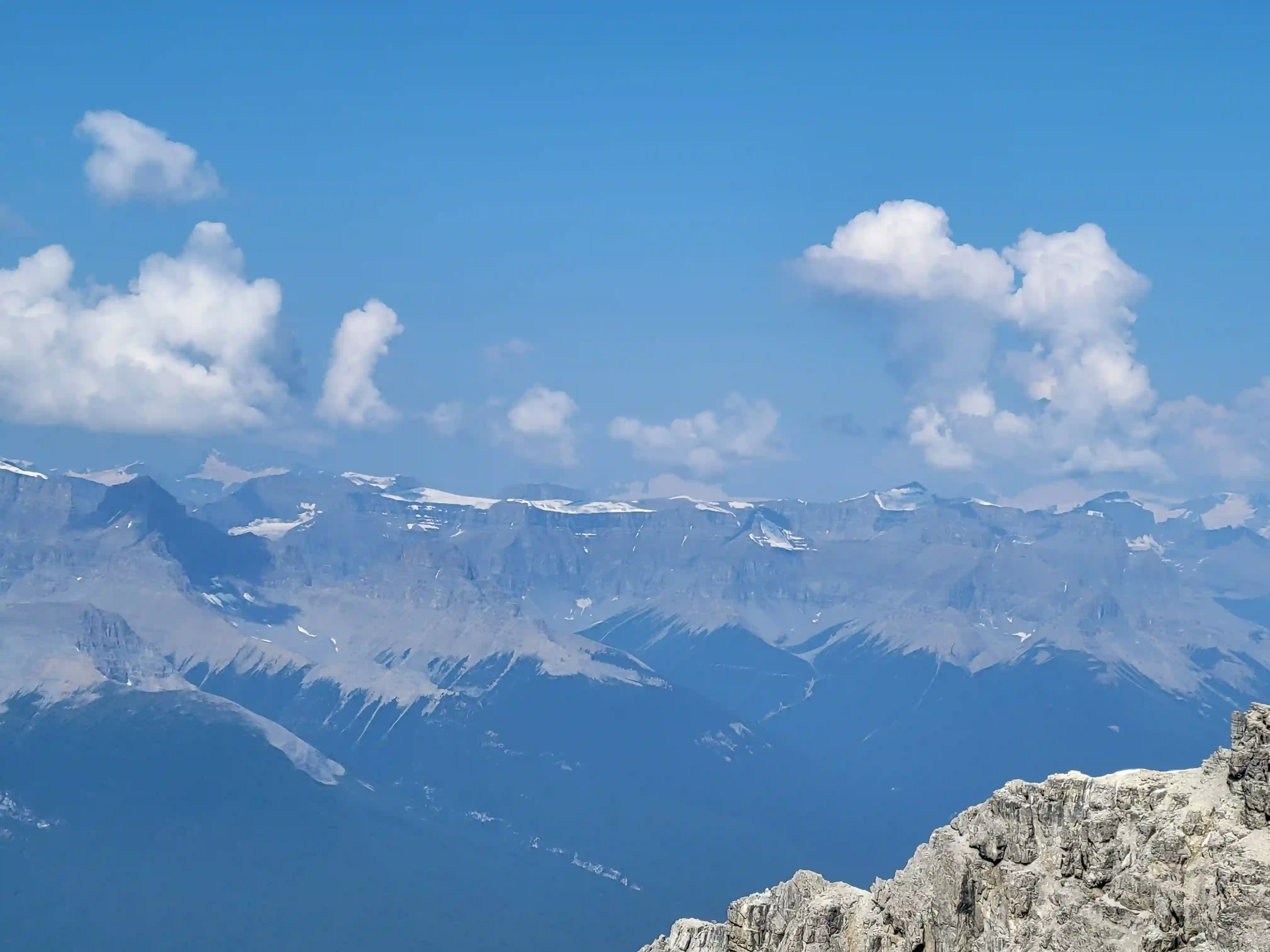
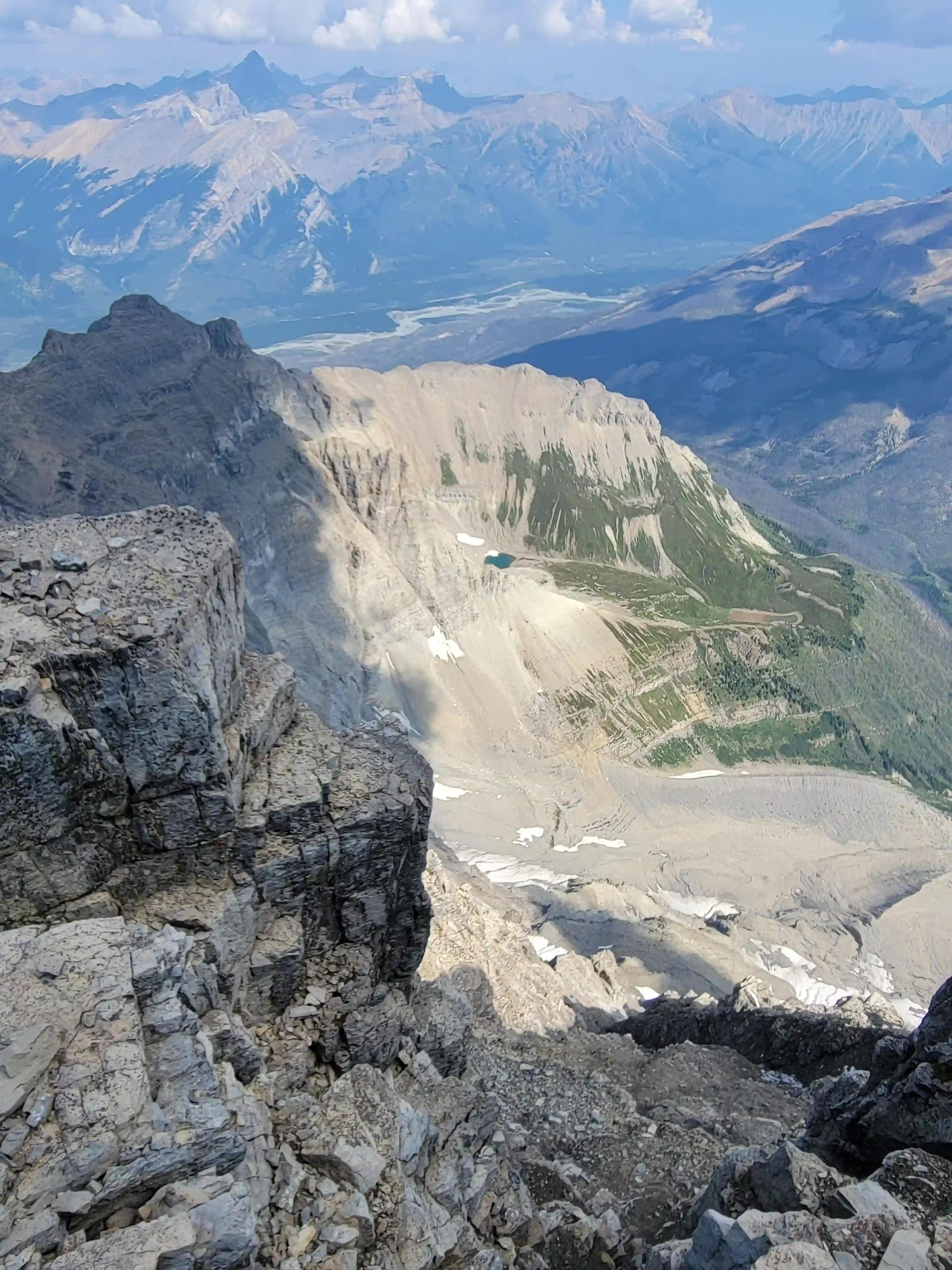
distance
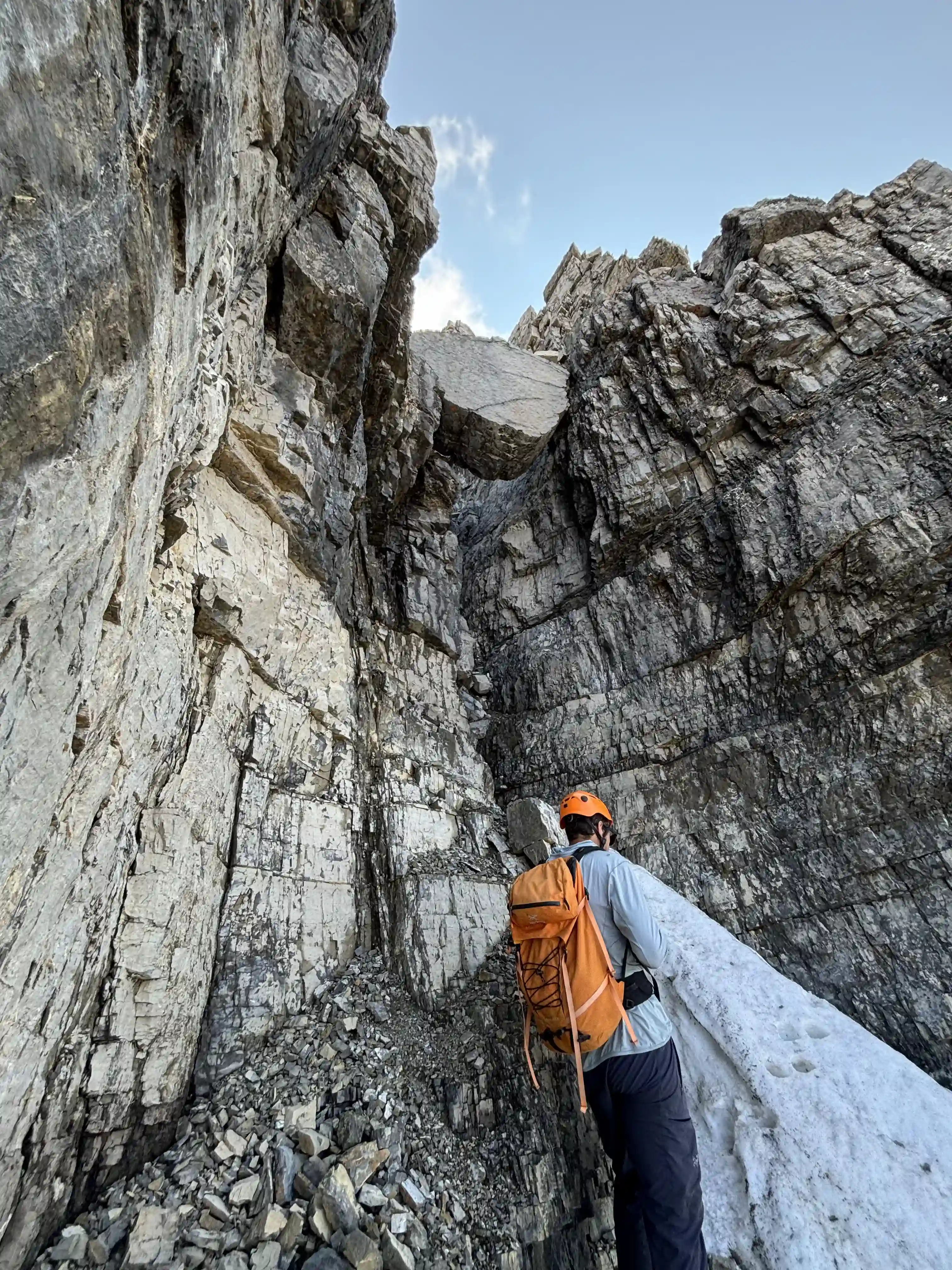
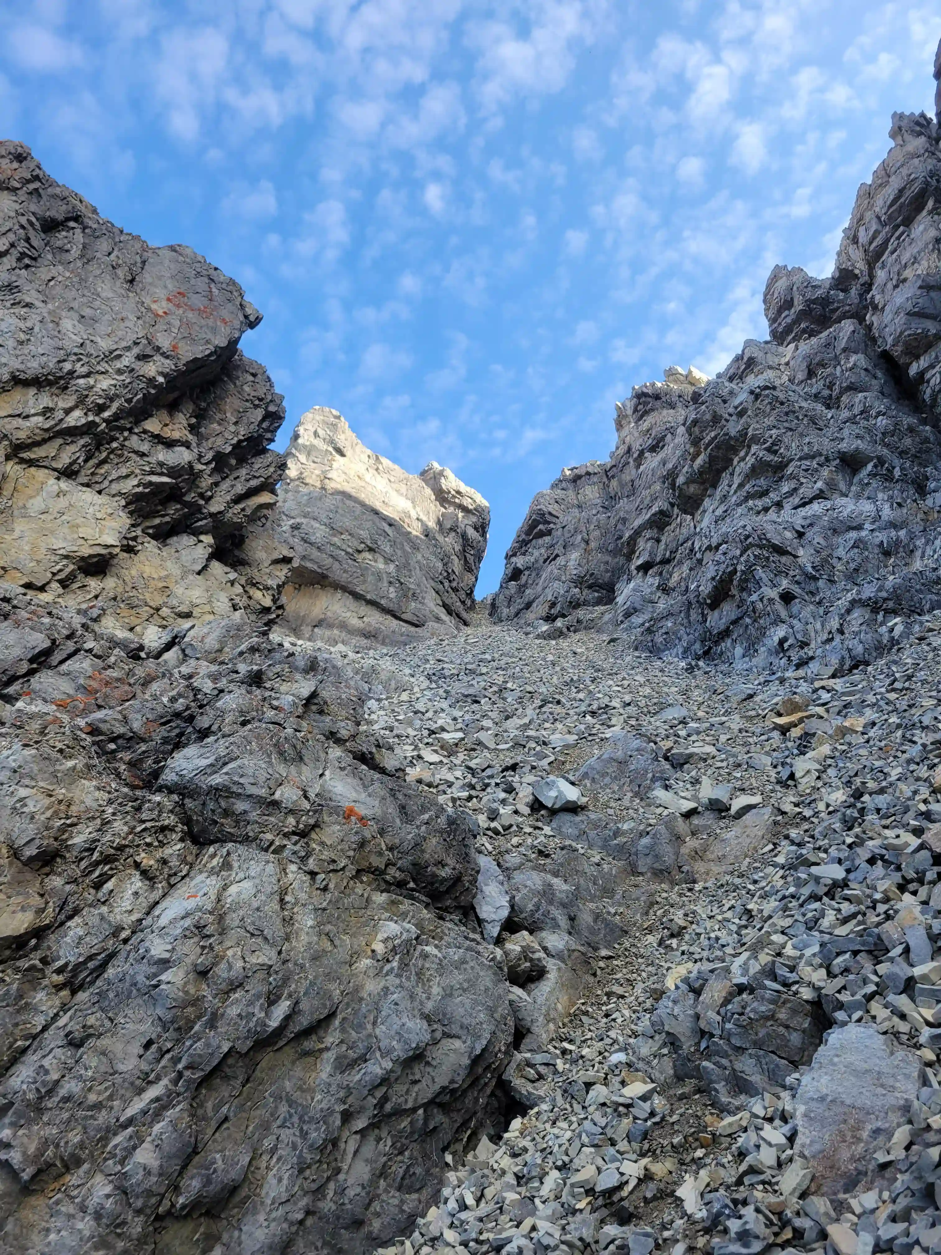
low on the mountain, cool choke stone!
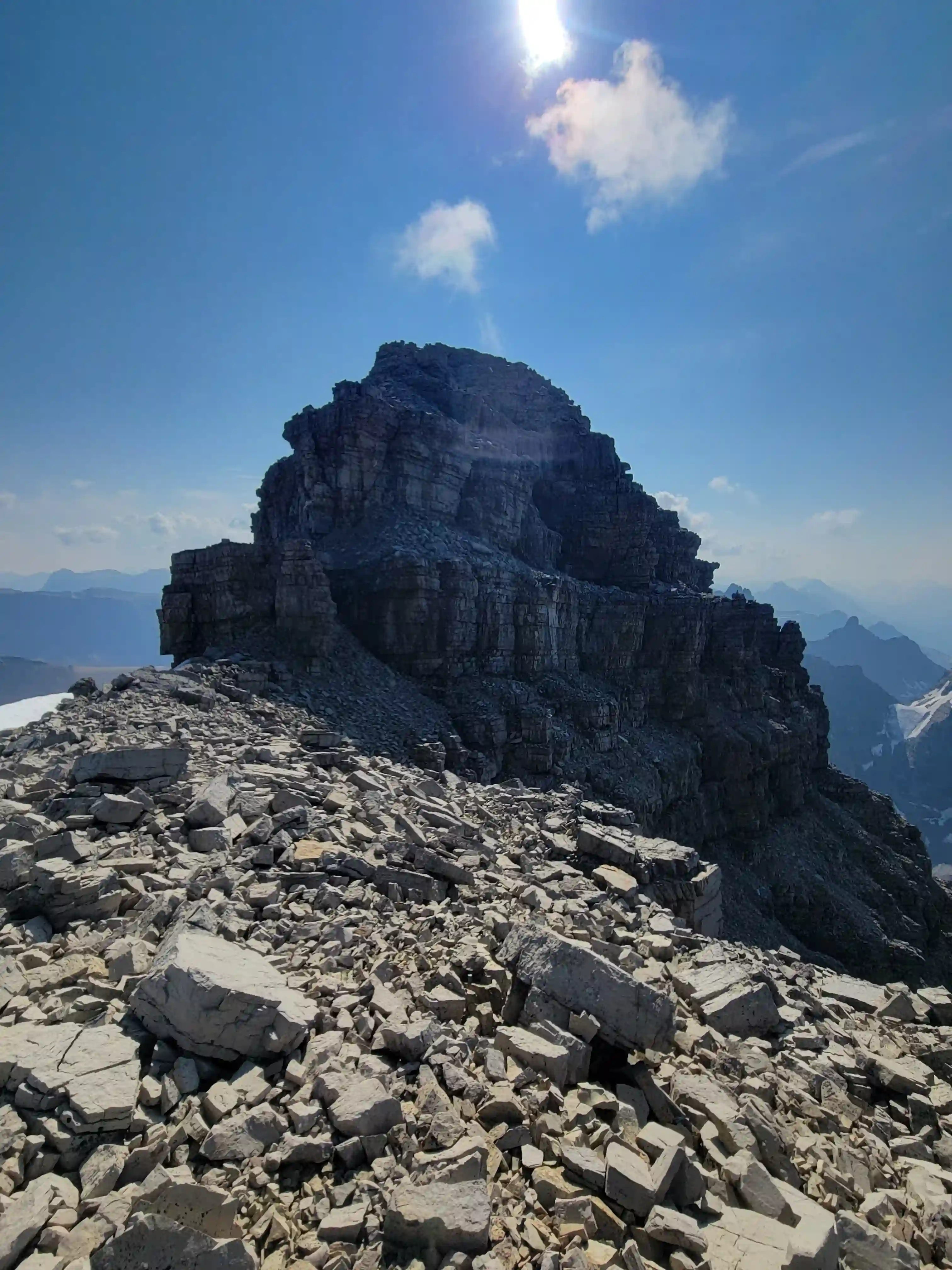
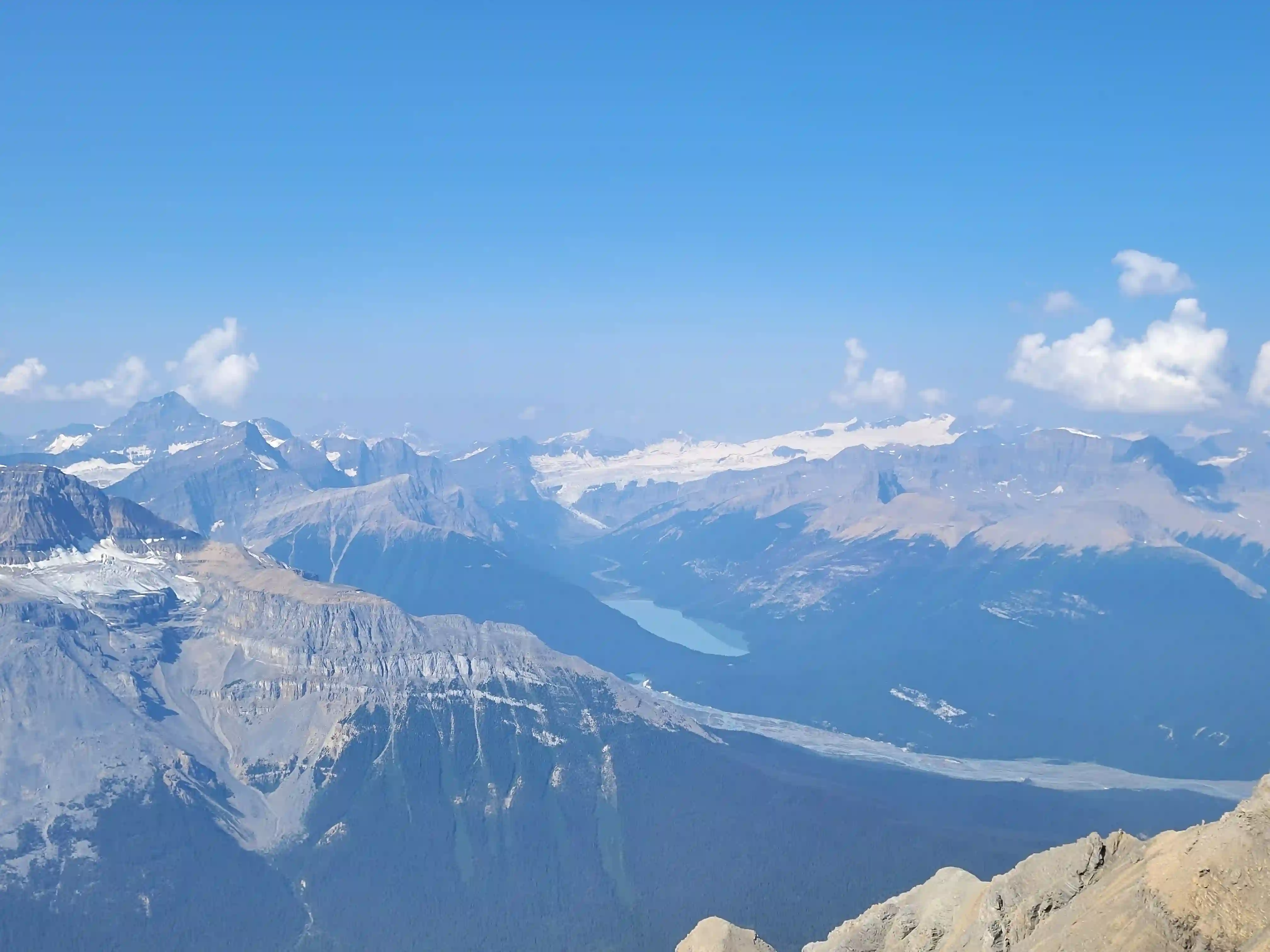
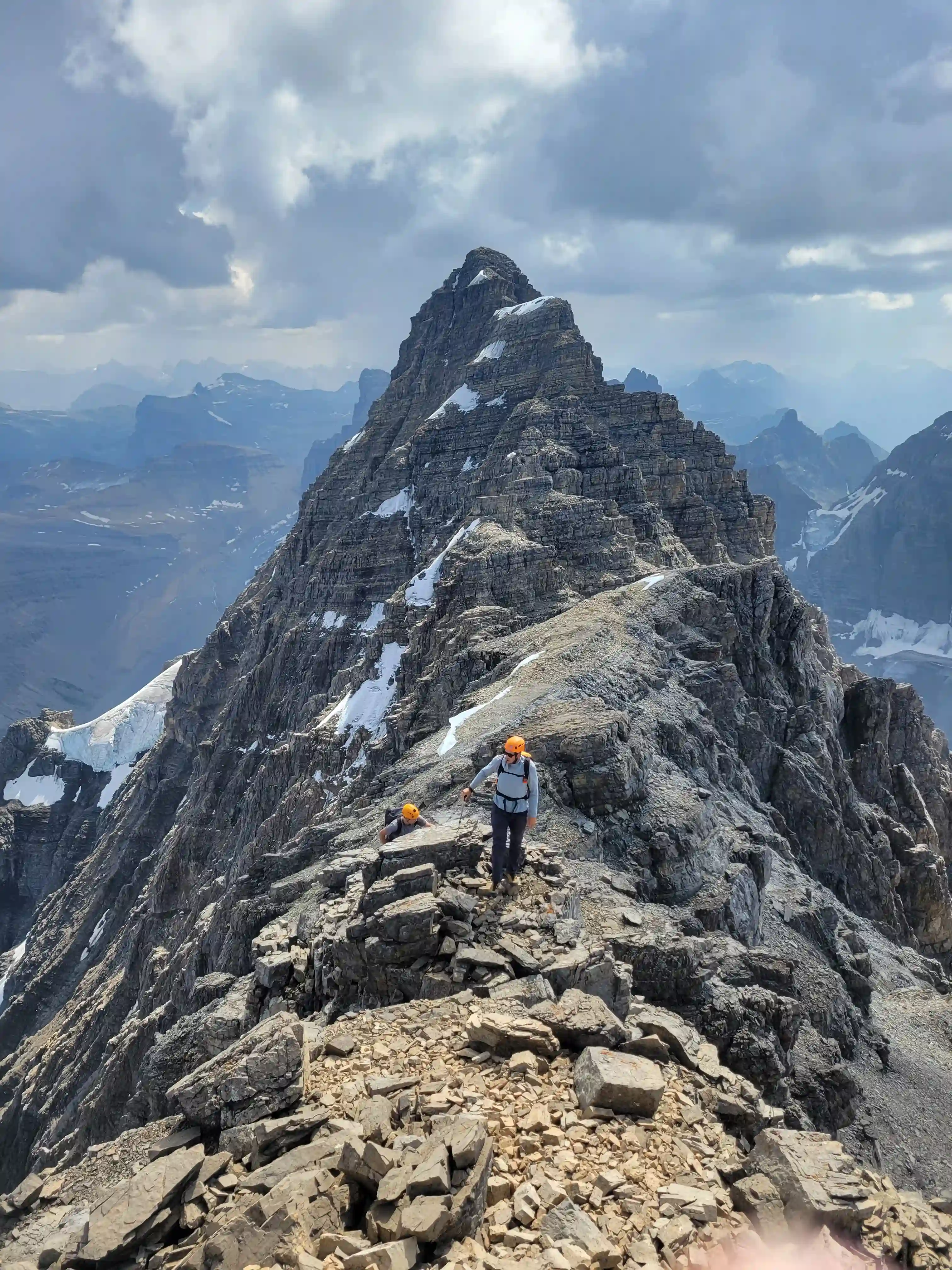
THE SUMMIT
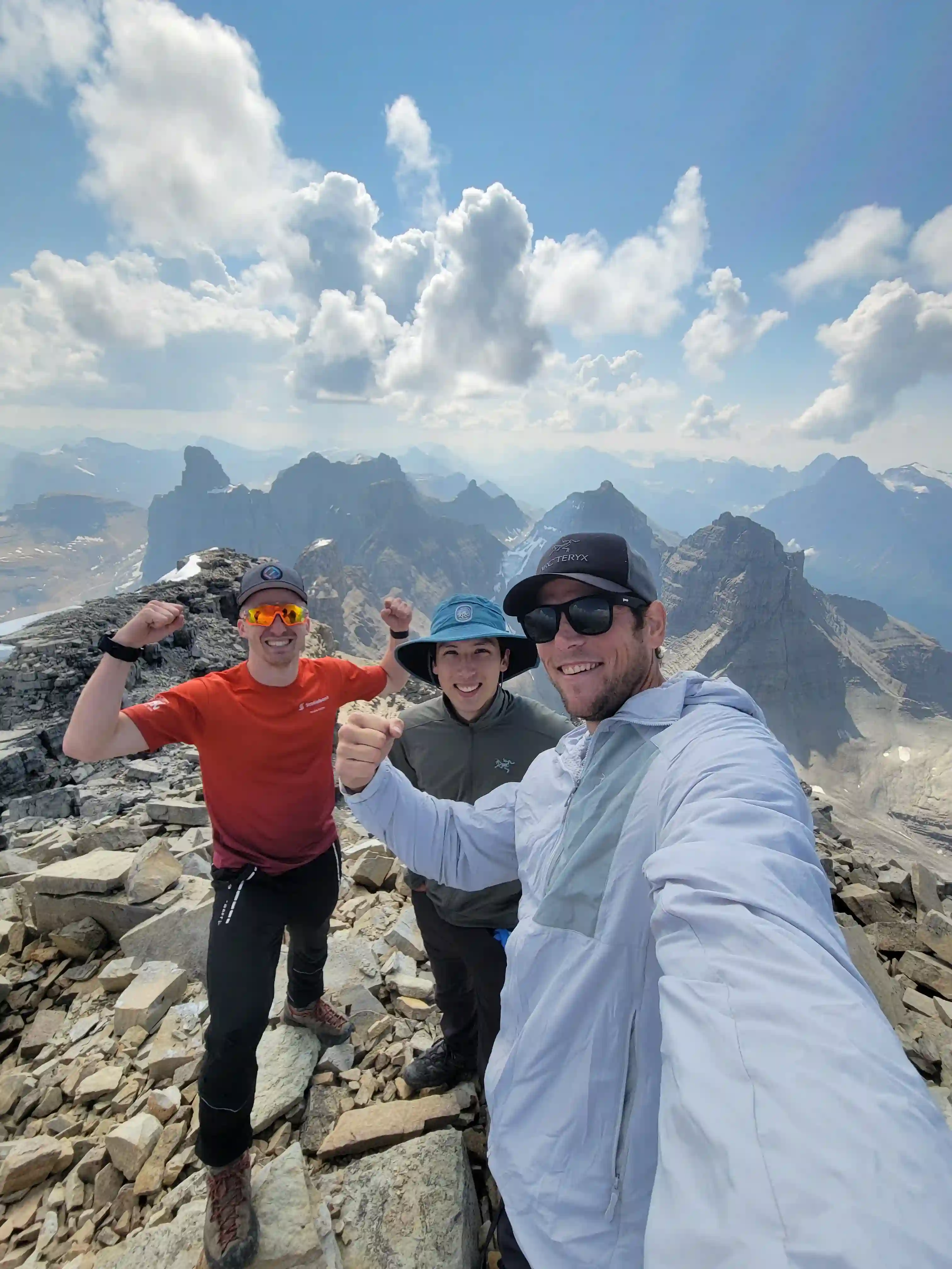
William
Into trips like this?
I'll send you an email whenever I publish a new trip report.
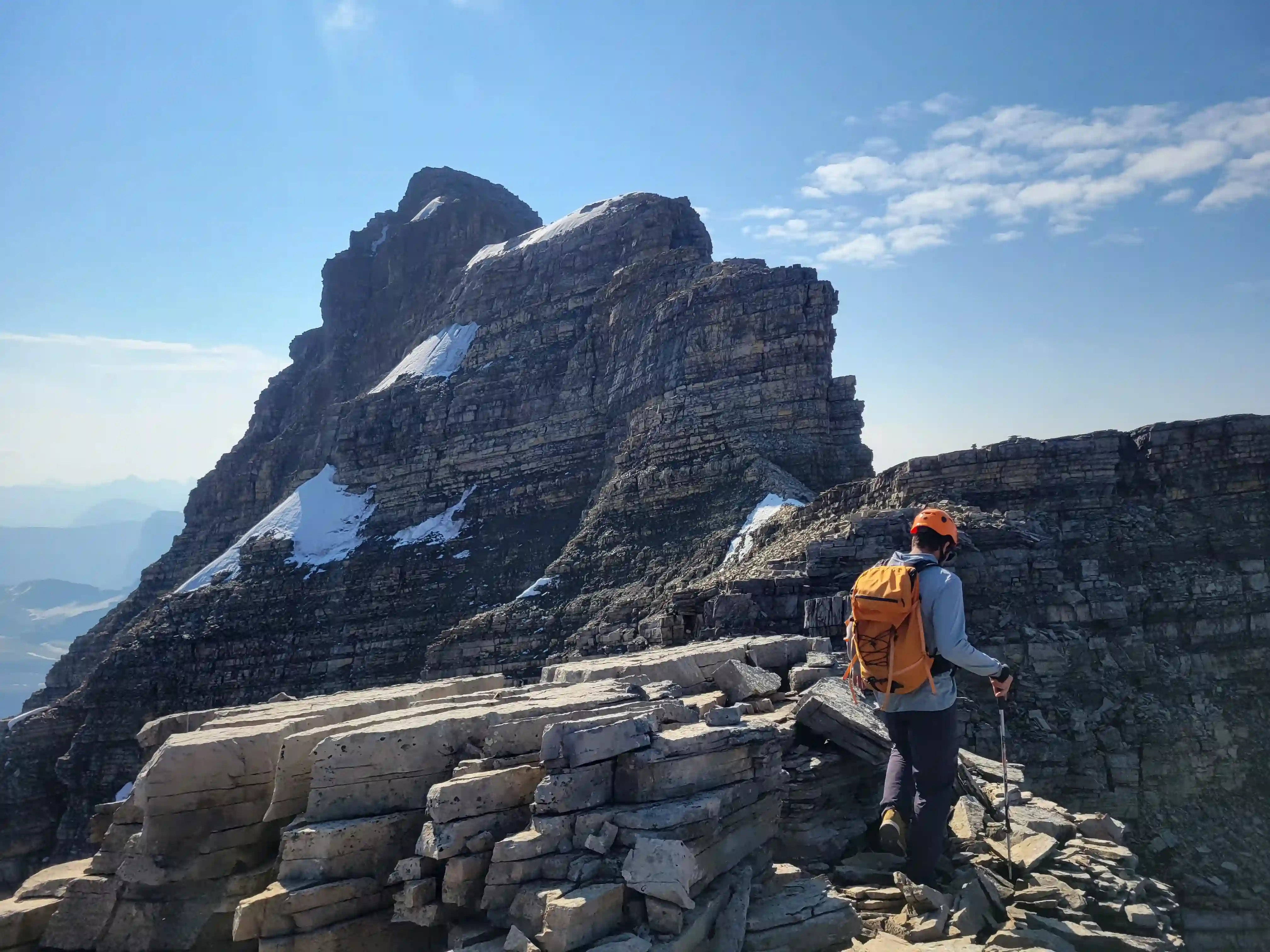
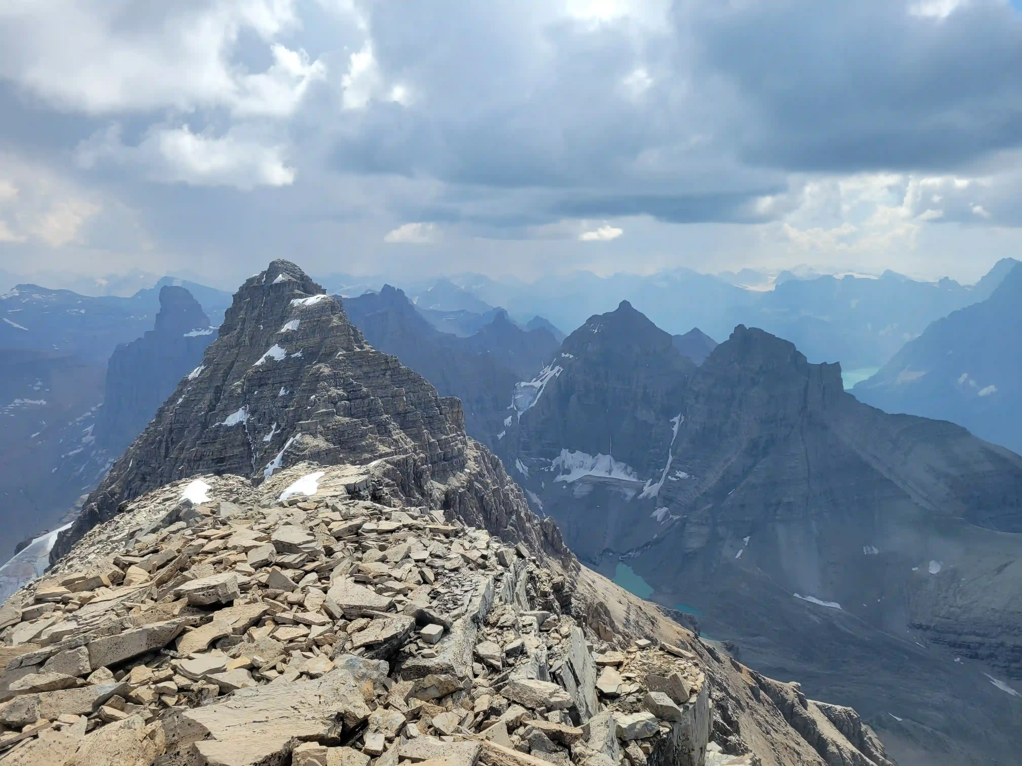
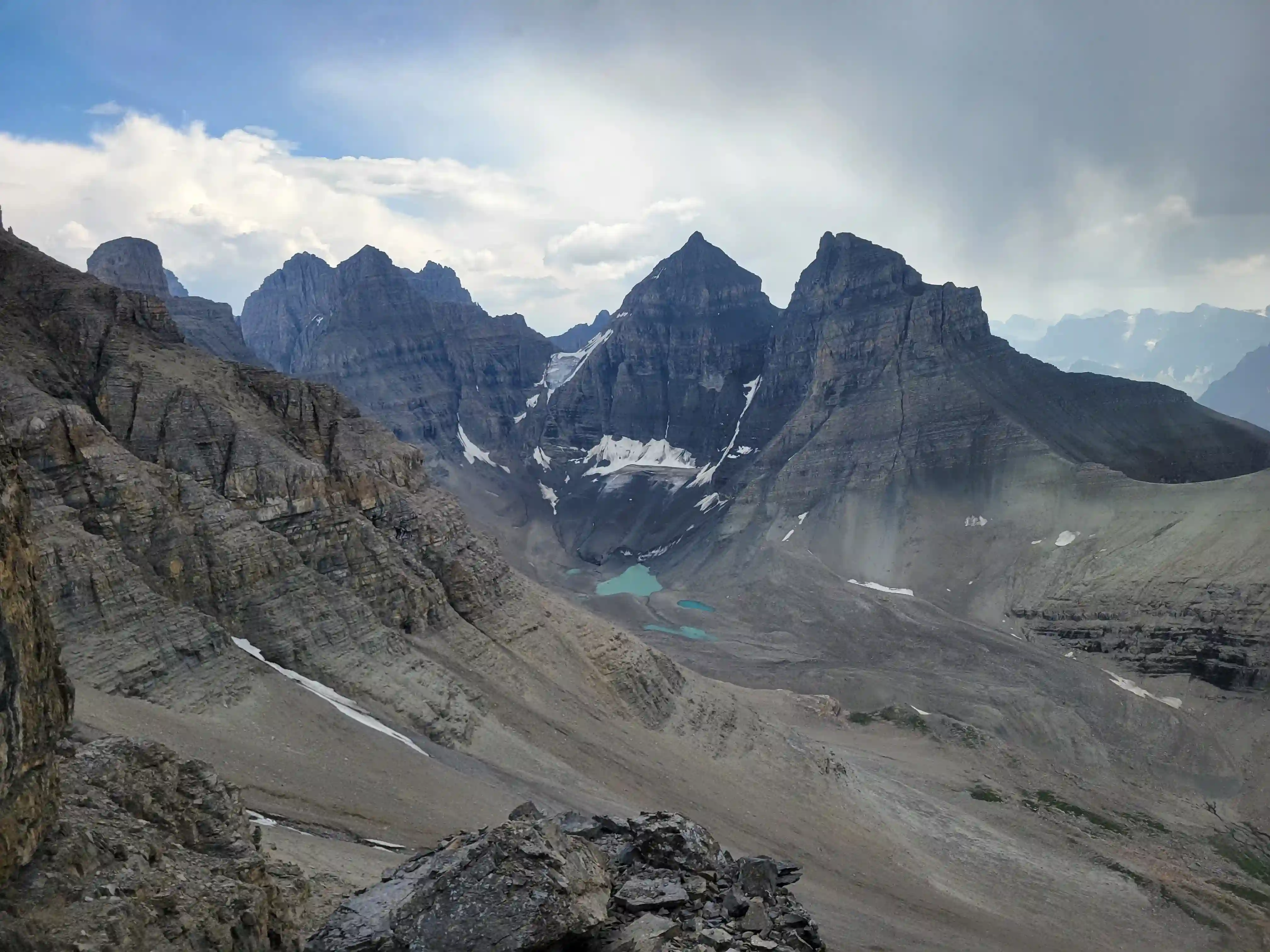
THE NW SUMMIT & DESCENT
After enjoying the summit views for a while we started heading down and reversed the ridge quite quickly. Once back at where we gained the ridge we were all feeling up for a bit more fun hands on terrain so we decided to check out the further north and lower summit. This peak was actually more challenging than the main one so it added a decent amount of hands on terrain to the day and after getting to the top and seeing weather moving in we didn't hang around for long.
Our descent was more tedious than the way up as per usual due to all the loose terrain and I had to do some evasive maneuvers when a melon sized rock above me dislodged and headed straight for me. Aside from that close call it was an uneventful exit but we still had some rocky terrain to go when rain started so we had to be extra careful in the slick conditions.
more than 5.2 but more sustained
ridge
11ker trip
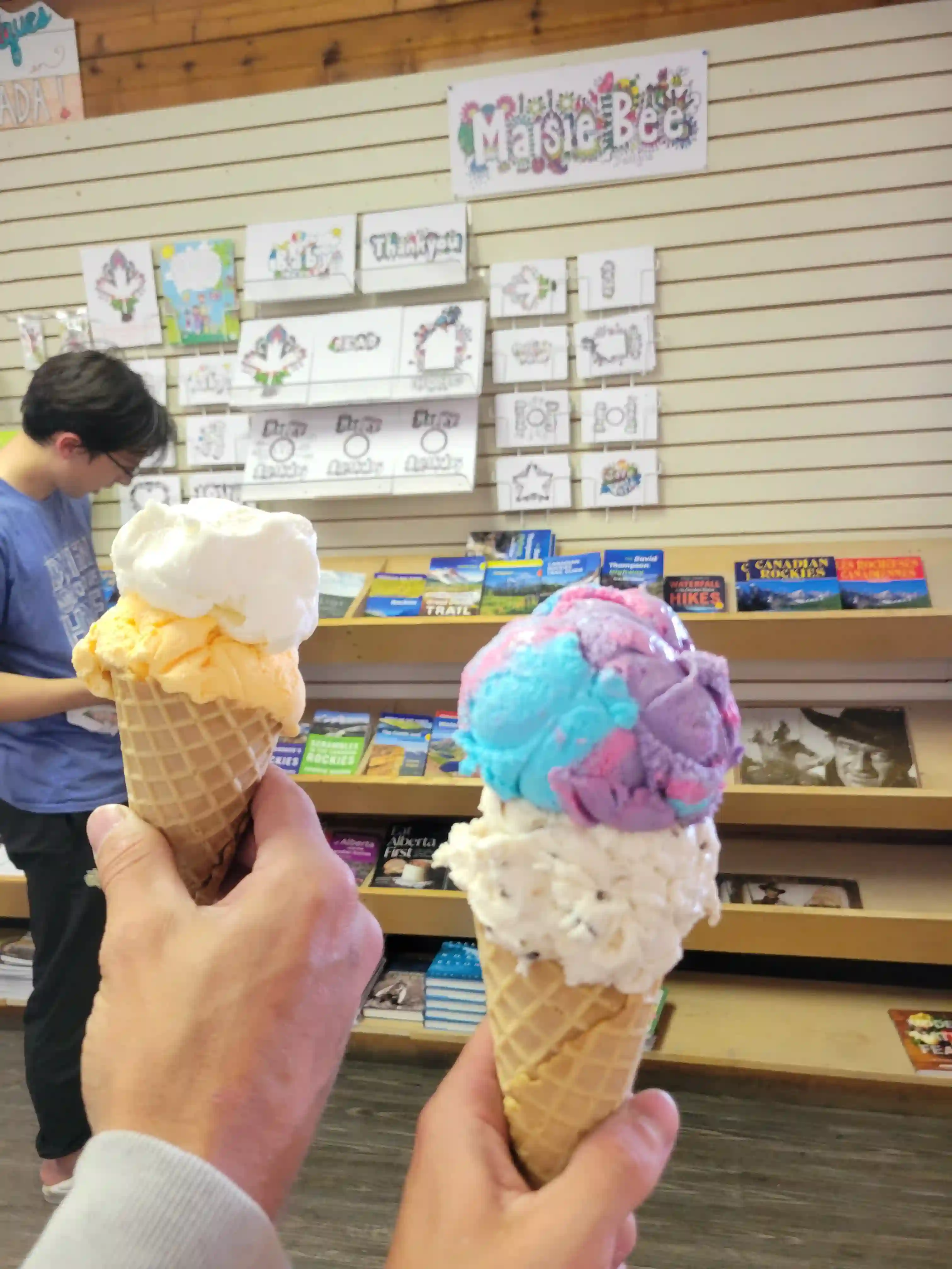
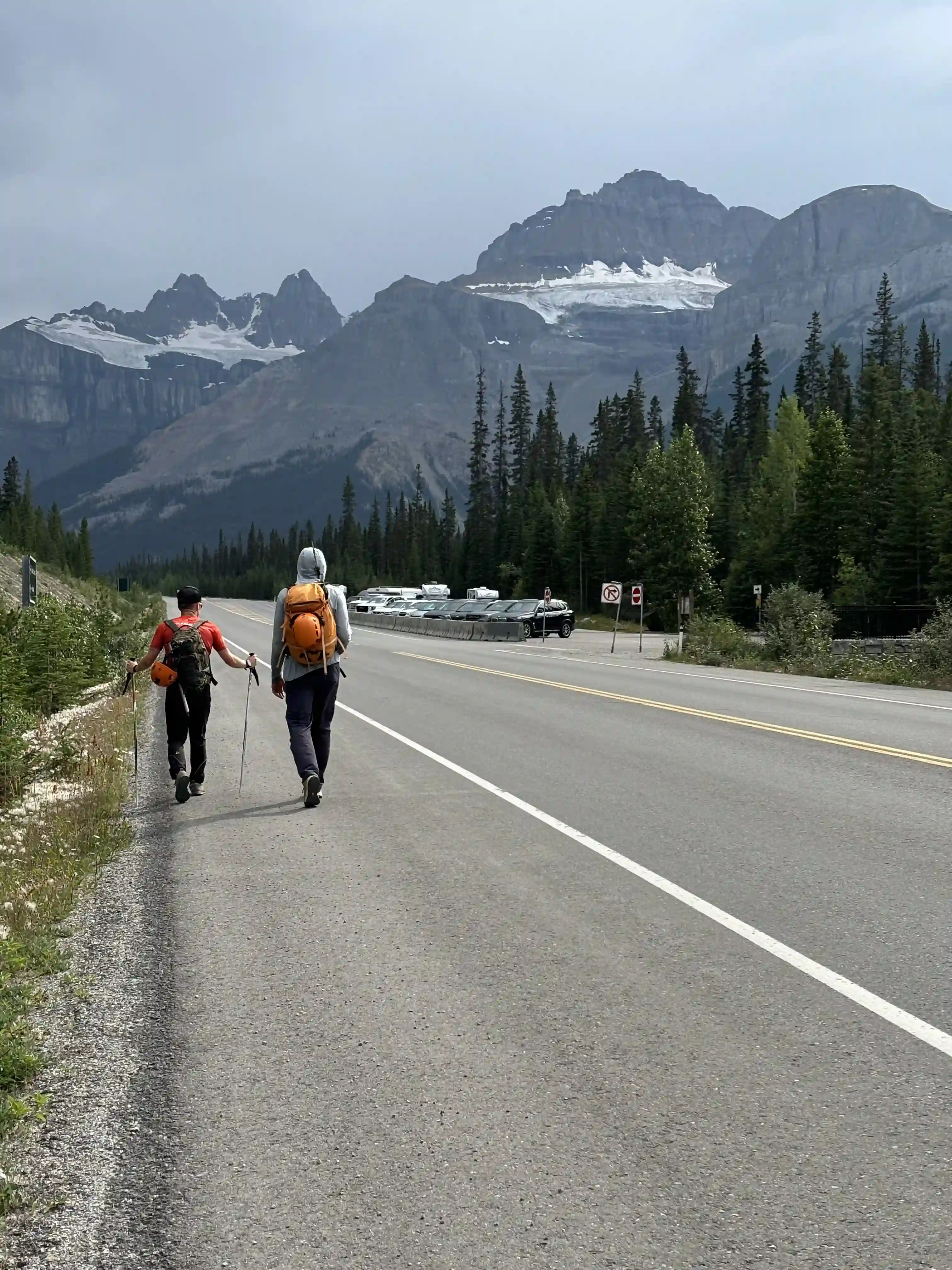
Mount Murchison is definitely one of the easier peaks on Bill Corbett's list and was a nice warm up for the next day's plans. For those looking for an objective slightly tougher than Mount Temple but still not getting into the realm of serious rock 11000ers, this peak is a solid option. After getting back to the parking lot it was still a reasonable time in the afternoon so we decided to head for Saskatchewan Crossing to get some ice cream, a luxury you don't often have after these 11000er missions!
Follow the full progression
I'm working through all 58 11000ers of the Canadian Rockies and beyond. You'll get notified when the latest climbs go live.
Other related trip reports:
Mount Temple |
Mount Cline ||
Mount Sir Douglas |
Lefroy, Victoria South, & Huber Linkup
11000ers of the Canadian Rockies
© Haldan Borglum | Peak by Peak. All rights reserved.