Snow Dome & Kitchener
April 4-6 2025
Located on the Columbia Icefield, Snow Dome and Mount Kitchener are easily visible from the Icefields Parkway and boast impressive seracs that overhang their large cliffs to the east. Both mountains are covered in glacier, seamlessly merging with the icefield below, and although they aren't all that impressive looking compared to the other peaks in the area, their elevation is well above the threshold to get them on the 11000ers list. While
Andromeda and Athabasca
are closer in proximity to the highway, Snow Dome and Kitchener are by far the easiest 11000ers on the icefield considering that they can both be skinned up. The toughest part about a trip for these peaks is getting up the increasingly dangerous Athabasca Glacier but as you'll see in this report, even that can be avoided.

With an amazing looking weather window in the forecast, Brent and I were eager to get out for our first 11000er trip of the calendar year, but around this time of the season the
snowpack in the Canadian Rockies is often a bit volatile and dangerous. We were unsure whether to bail on our plans but Brent
was persistent so we decided to go for the lowest avy risk objectives on the Columbia Icefield and approach via the Saskatchewan
Glacier to avoid any overhead hazard.
Although our plans were initially to go for
The Stutfields and Mount Cromwell,
that idea fell through because of fresh snow on the icefield that made
travel slow and quite tiring. Looking back on it the route for Cromwell has significant enough overhead and grade that it's
probably for the best we didn't tackle it in considerable avalanche conditions and went for more mellow objectives.
I had heard about the Saskatchewan Glacier approach to the Columbia Icefield from mountaineer friends before but I hadn't really ever
seen any in depth reports on it. With how dangerous the Athabasca Glacier has become I was curious why a glacier approach as tame as
the Saskatchewan was so under the radar and not being widely used. After doing this trip I can safely say why, the distance that you need to cover to reach anything from the Big Bend start point on the Icefield Parkway is pretty huge compared to the short day you have if you approach via the Athabasca Glacier. Nonetheless the Saskatchewan is most definitely the safer option and parties that want to minimize crevasse fall and overhead risks can be confident that this route will go regardless of the time of year and regardless of the snowpack. With this plan in mind Brent and I were keen to get up onto the Columbia Icefield for the first time for both of us and we got to packing for our trip.
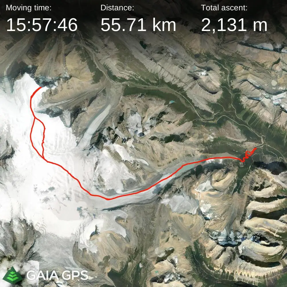
links:
STRAVA
│
GAIA
elapsed time: 57hrs
DIFFICULTY: PD/PD+, extensive glacier travel, typically multiday, winter camping, remote
Use the following links to jump to:
Follow the journey
I'll send you an email when a new trip report drops.
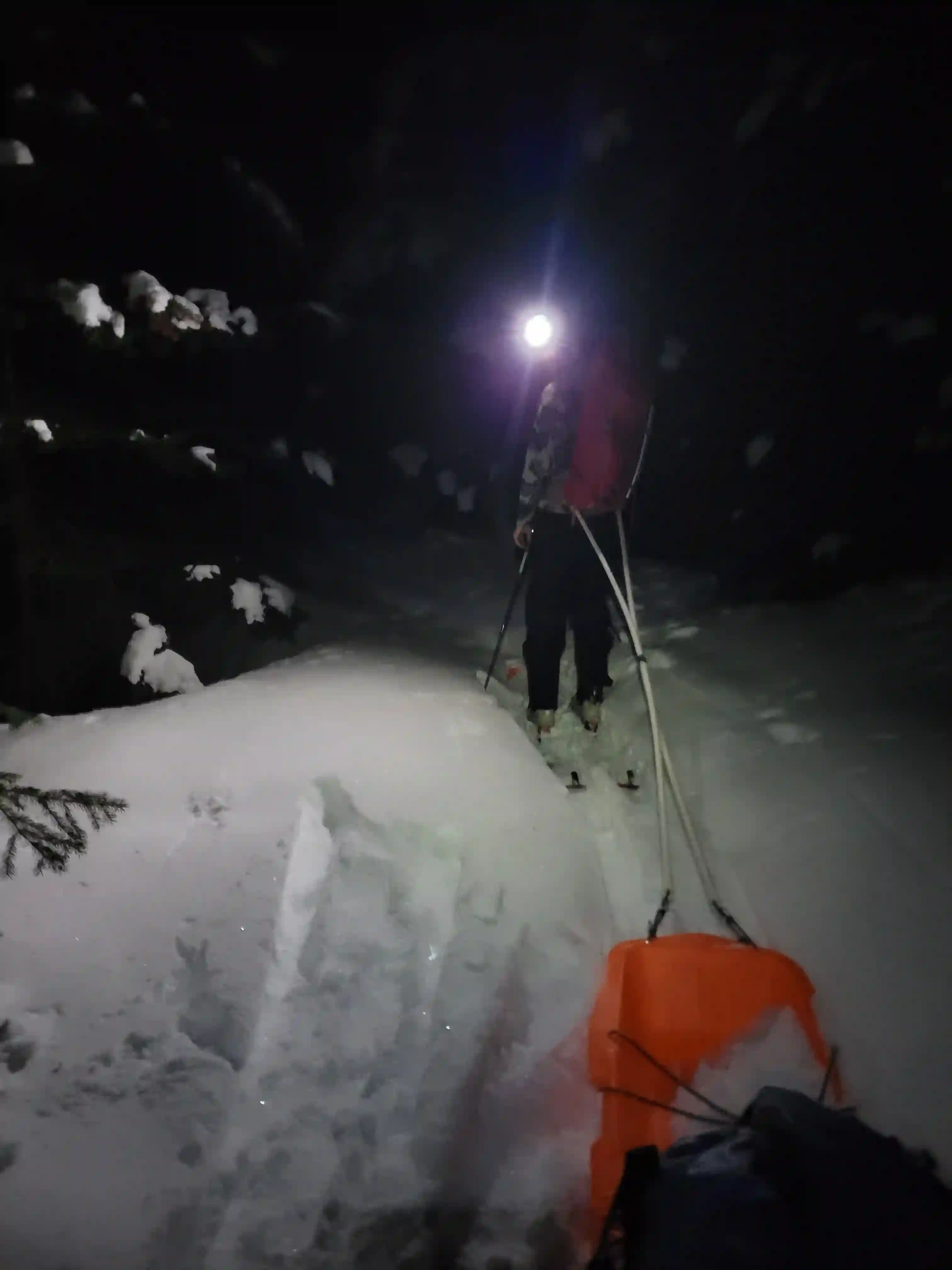
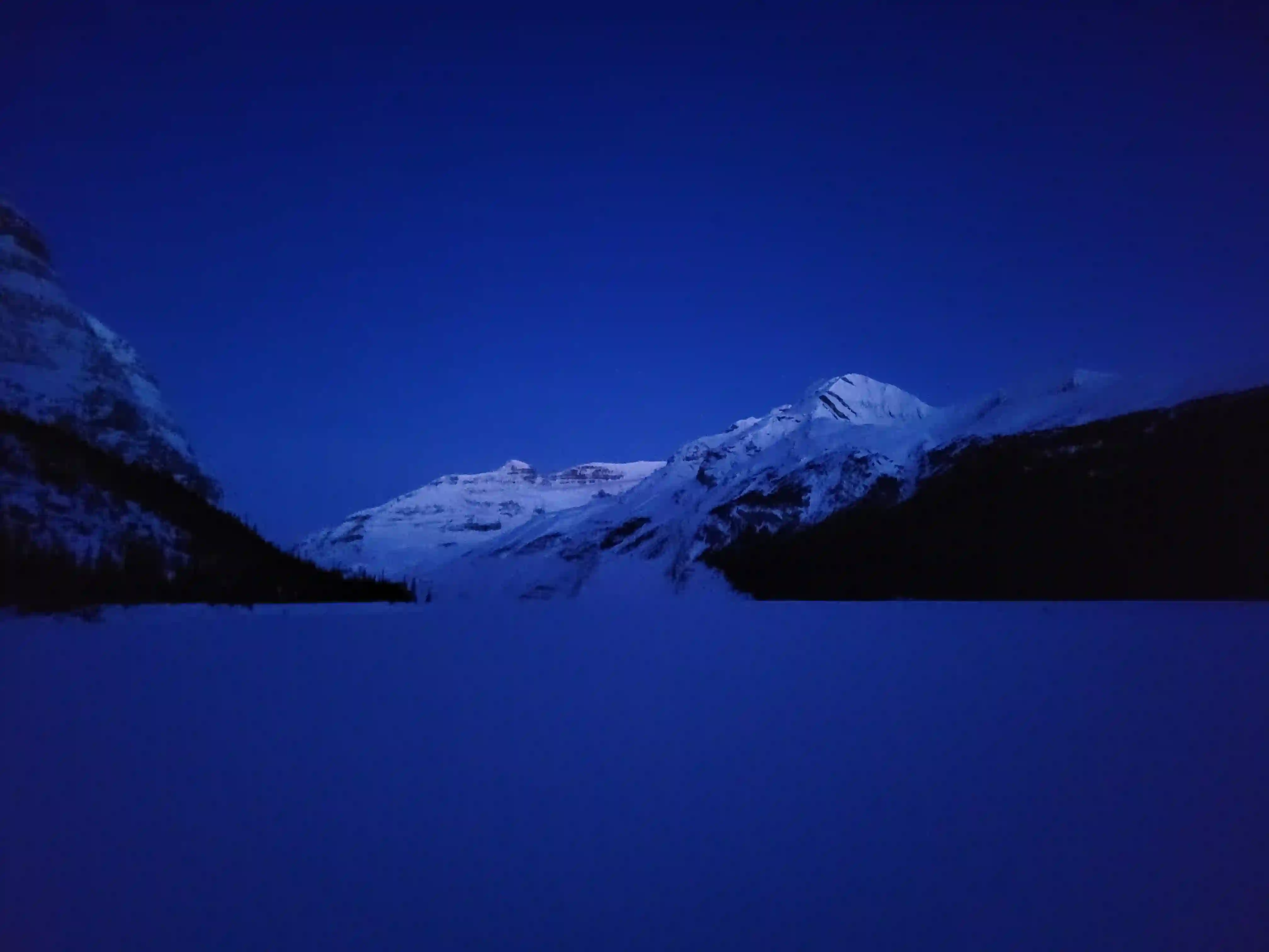
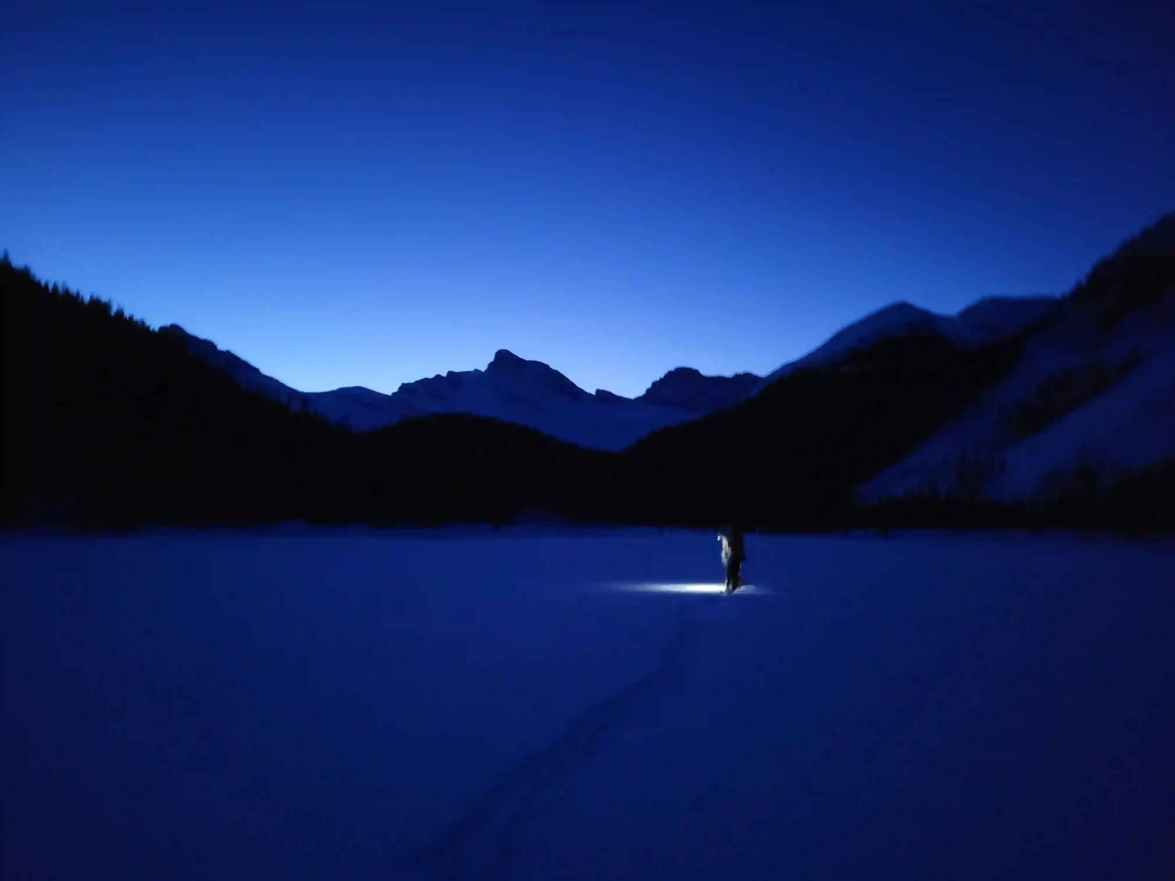
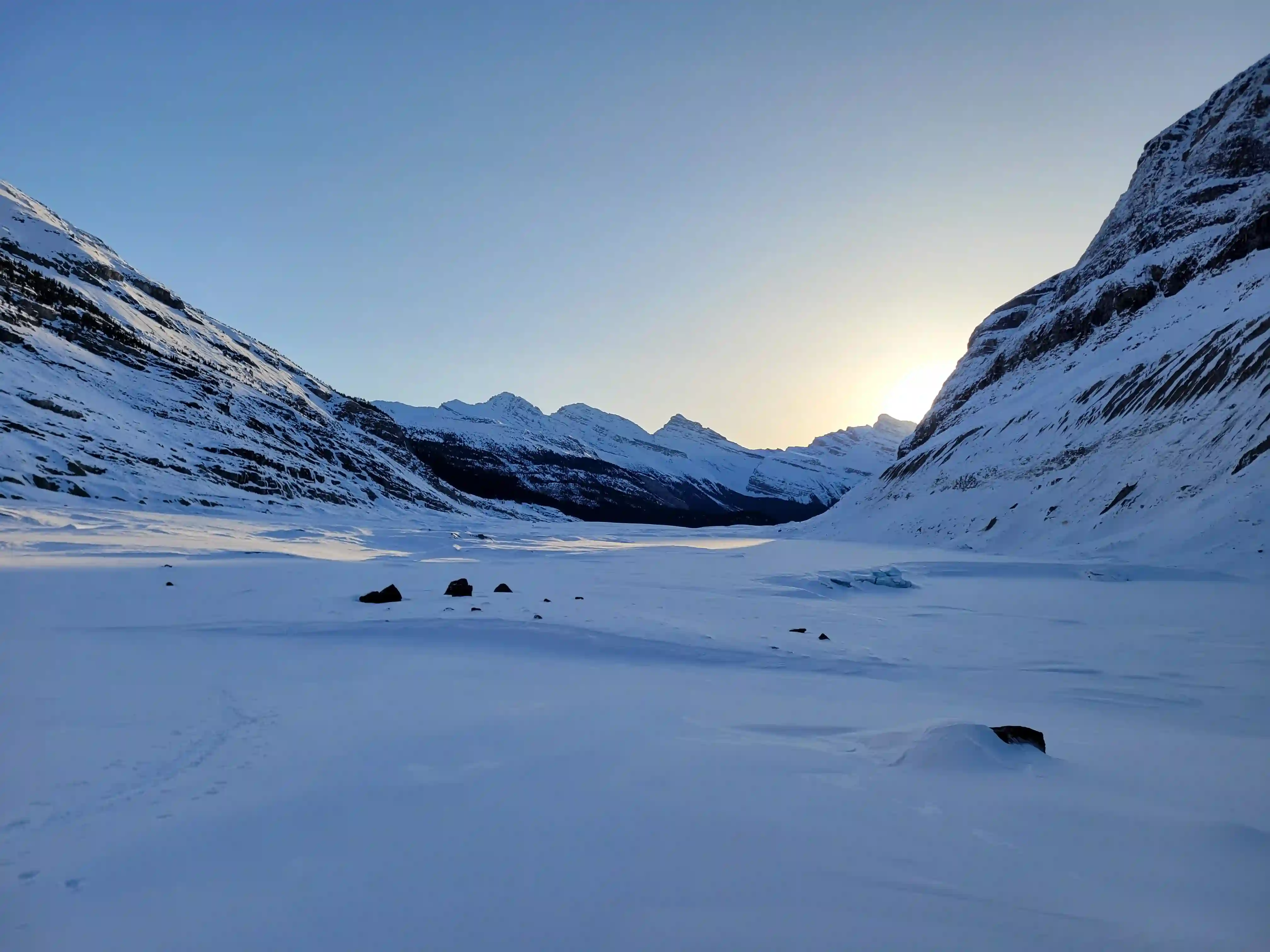
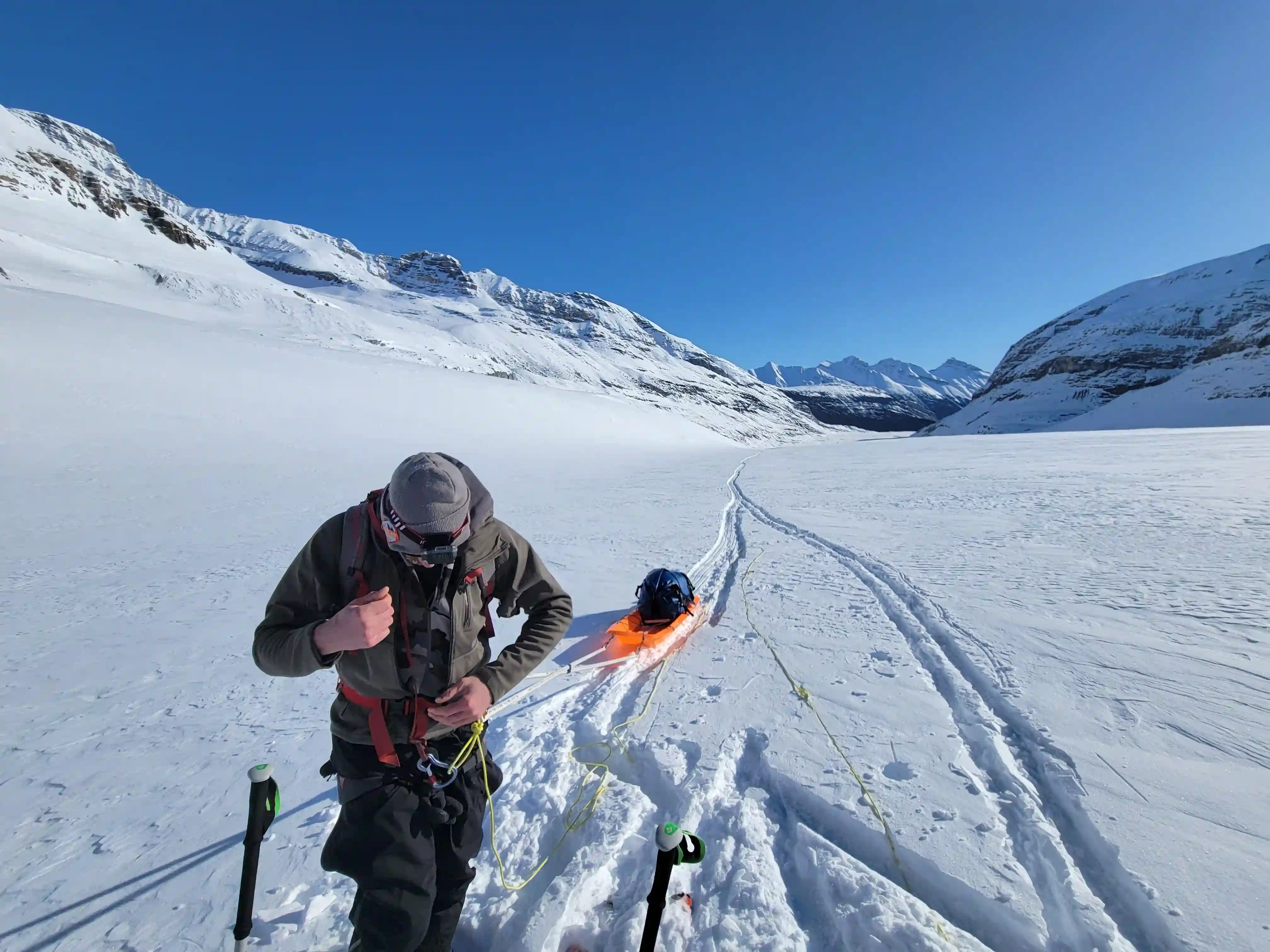
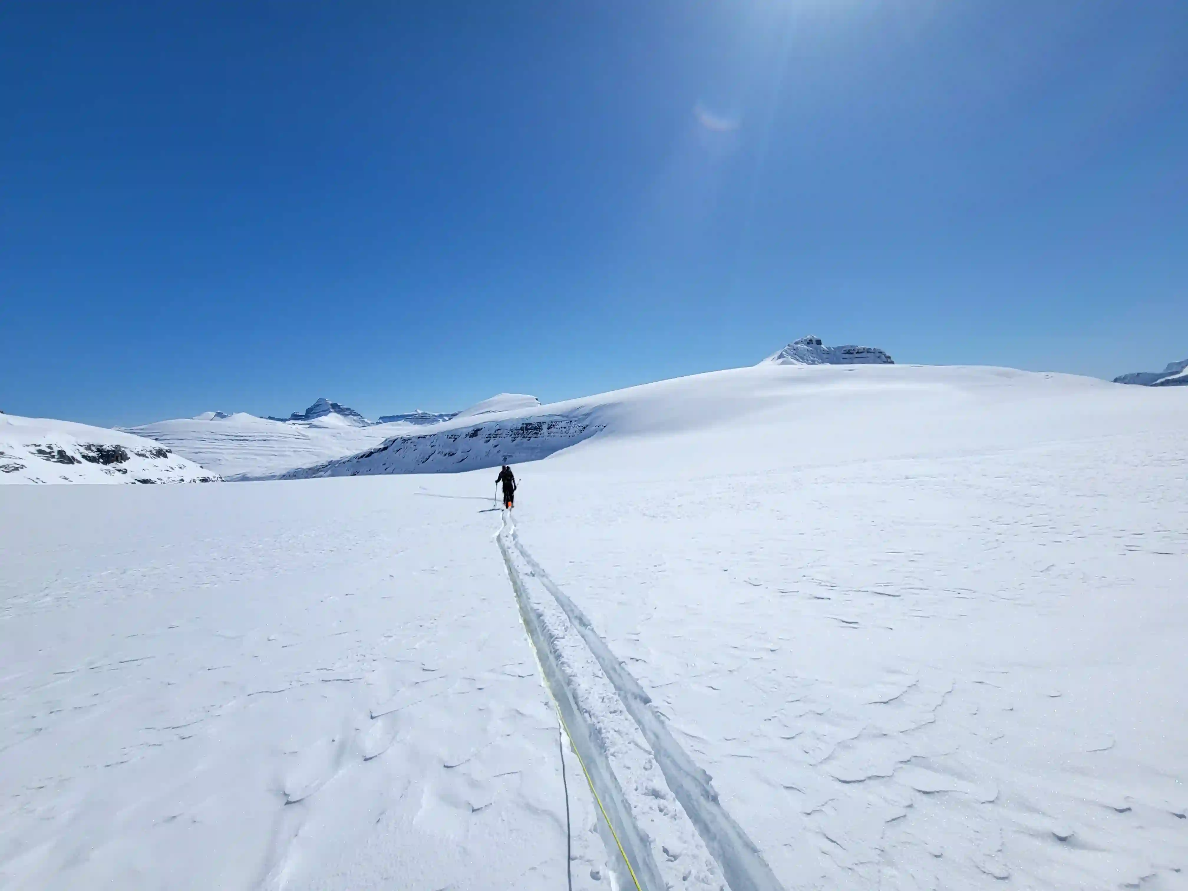
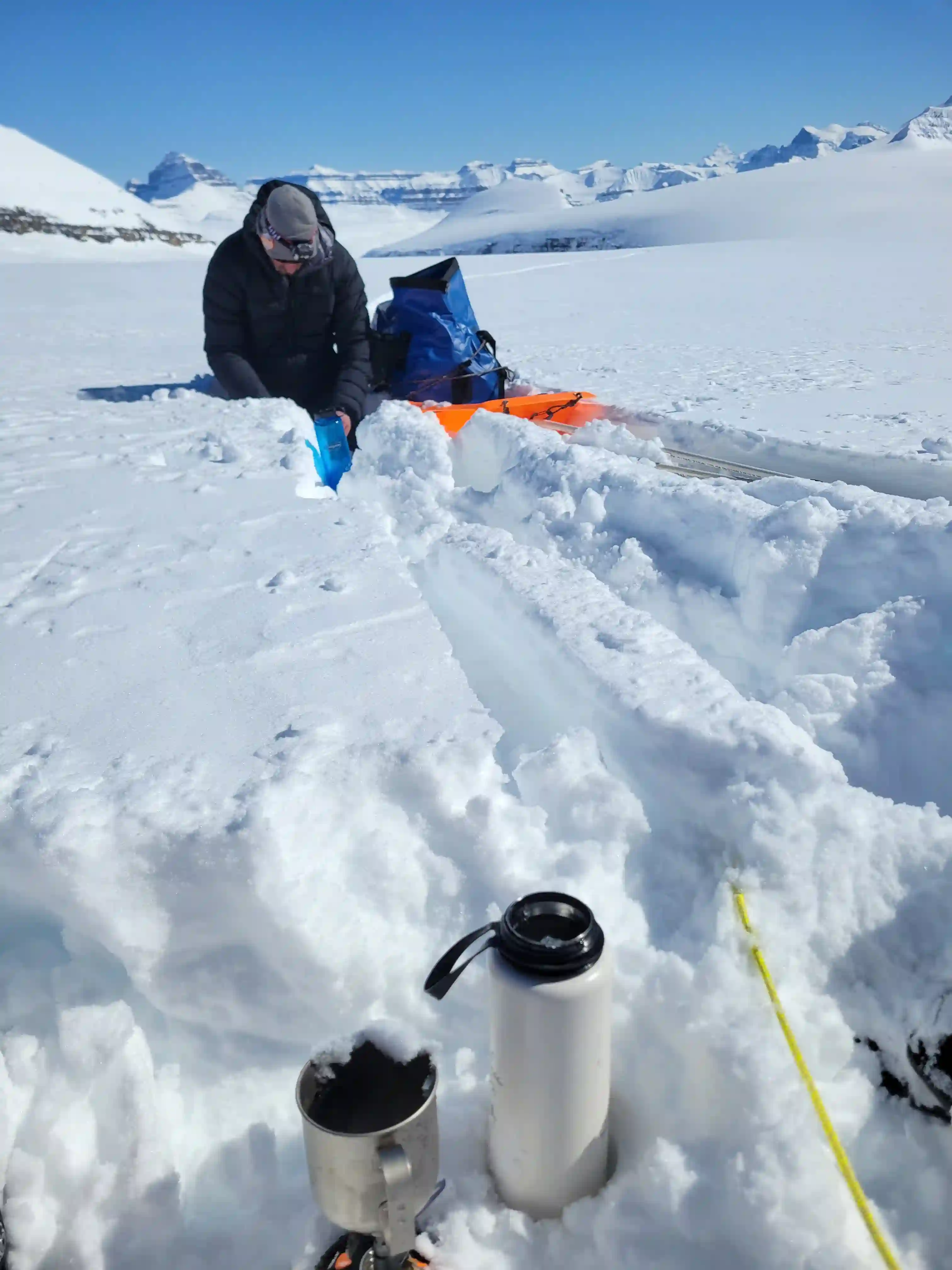
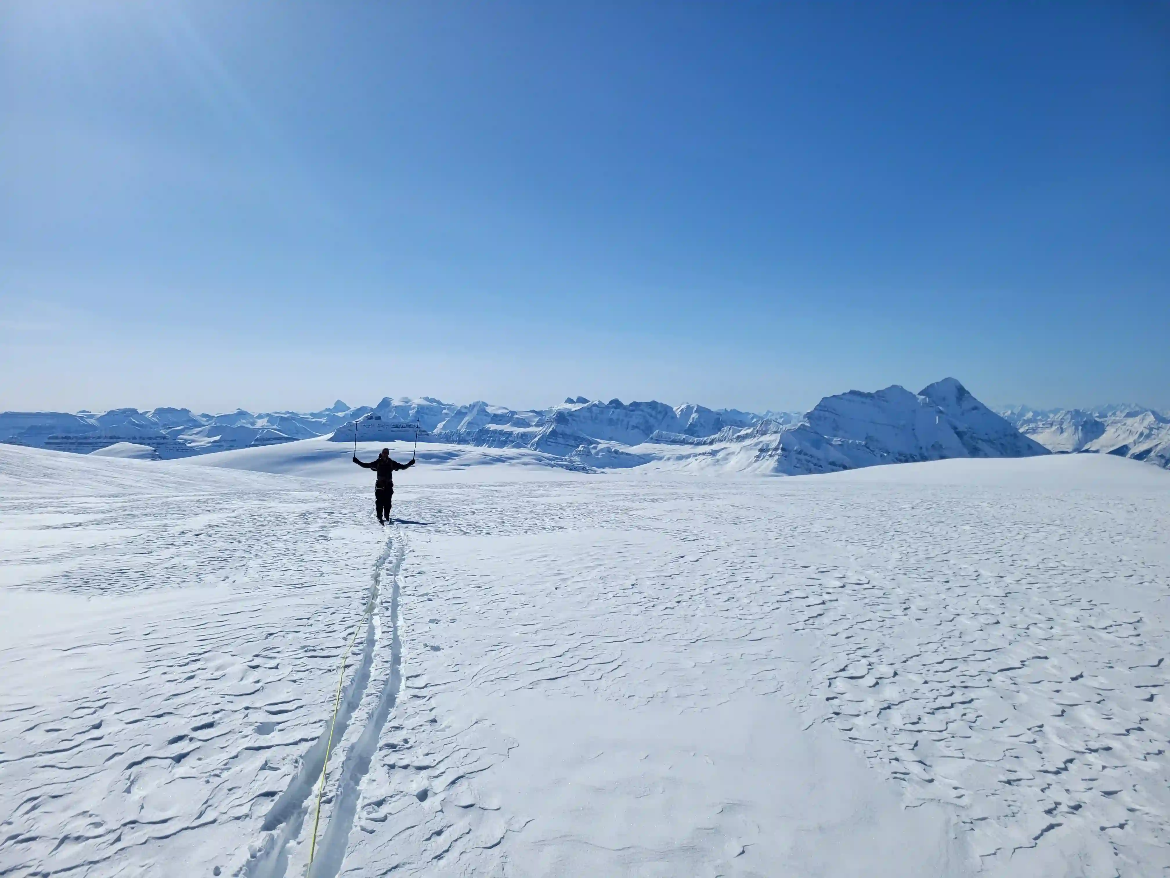
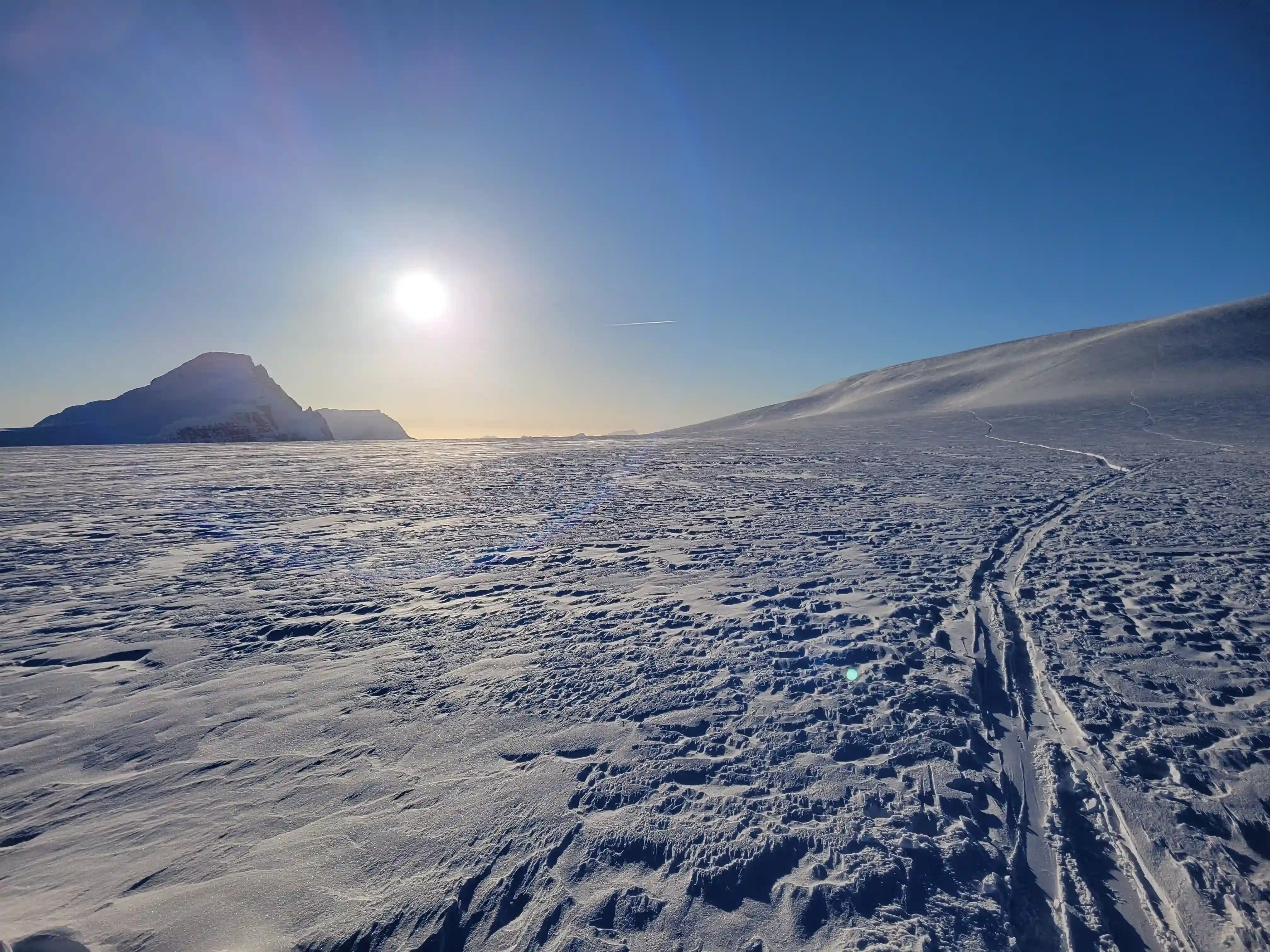
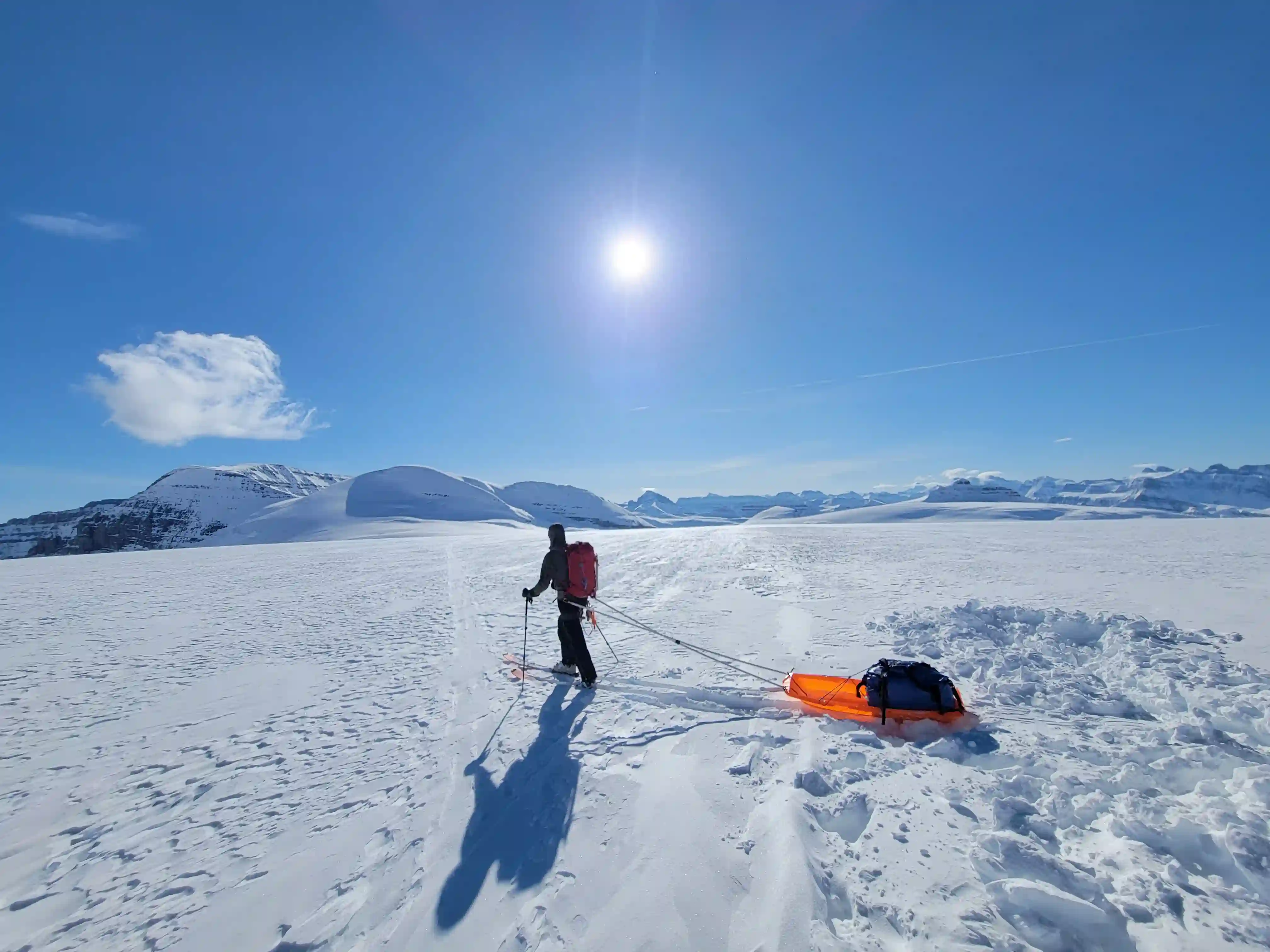
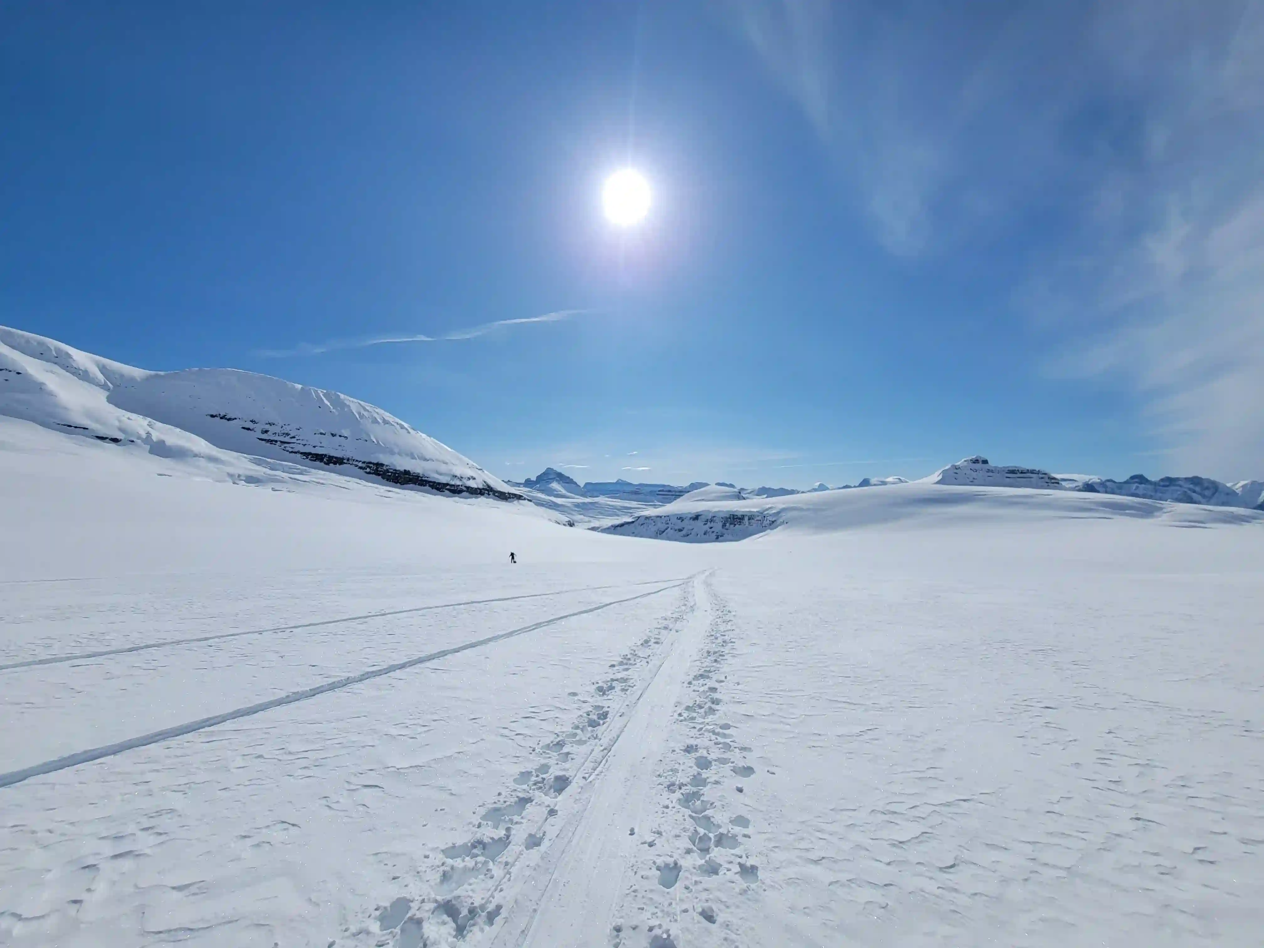
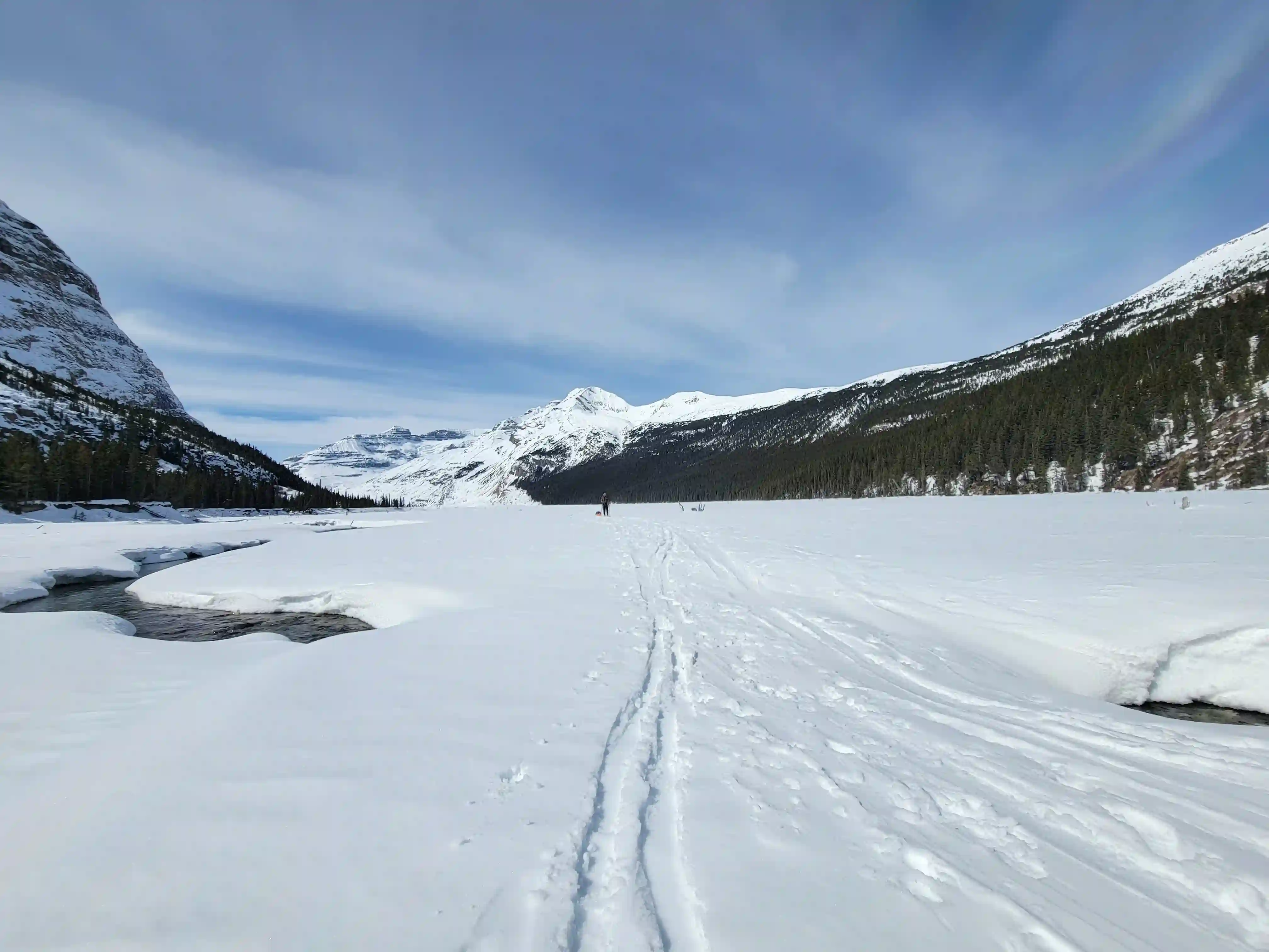
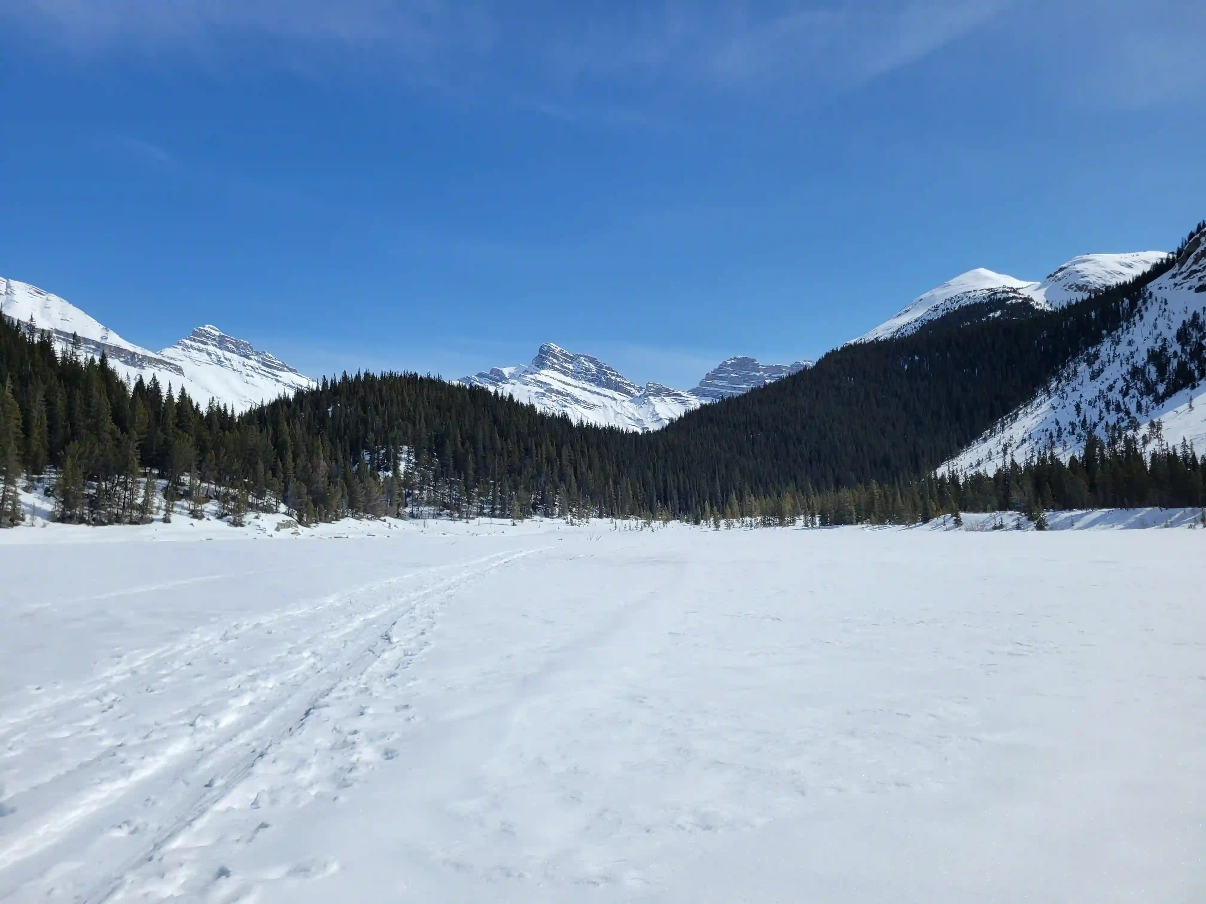
Anticipating that we had a long day ahead of us Brent and I met up early on April 4th and were started by a bit after 4:30am. It wasn't obvious from where we parked at Big Bend whether or not the North Saskatchewan River running between us and our approach trail was bridged (it was), so we ended up taking the old Icefield Parkway bridge 500 meters to the east to get across and then circled back to start the Big Bend Peak / Saskatchewan Glacier approach trail adding about a kilometer or so to our day. We didn't have a gpx file so we weren't exactly sure how navigation in the treed section would go but it wasn't hard to find the trail with recent snowshoe tracks and we made quick progress up and reached the more open terrain quickly. From here travel was flat and easy going, even having a downhill section as we neared the glacier, and once on the glacier after the steep initial toe things mellowed out again making for easy travel. Not to say it wasn't tough, by the time we had covered 10 kilometers we were still only partway up the Saskatchewan and the soft snow conditions added extra resistance to what was already a tiring ordeal with heavy packs on.
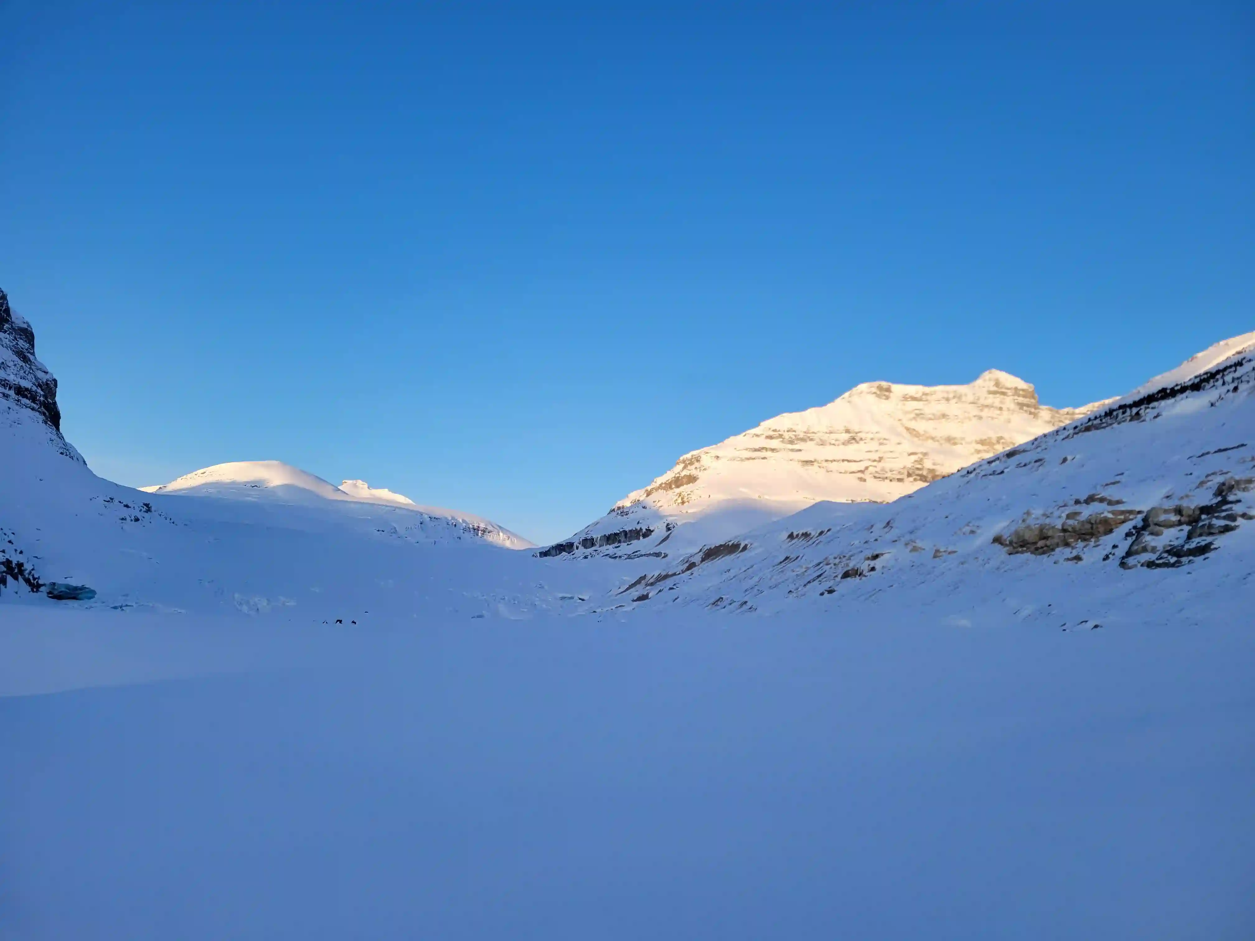
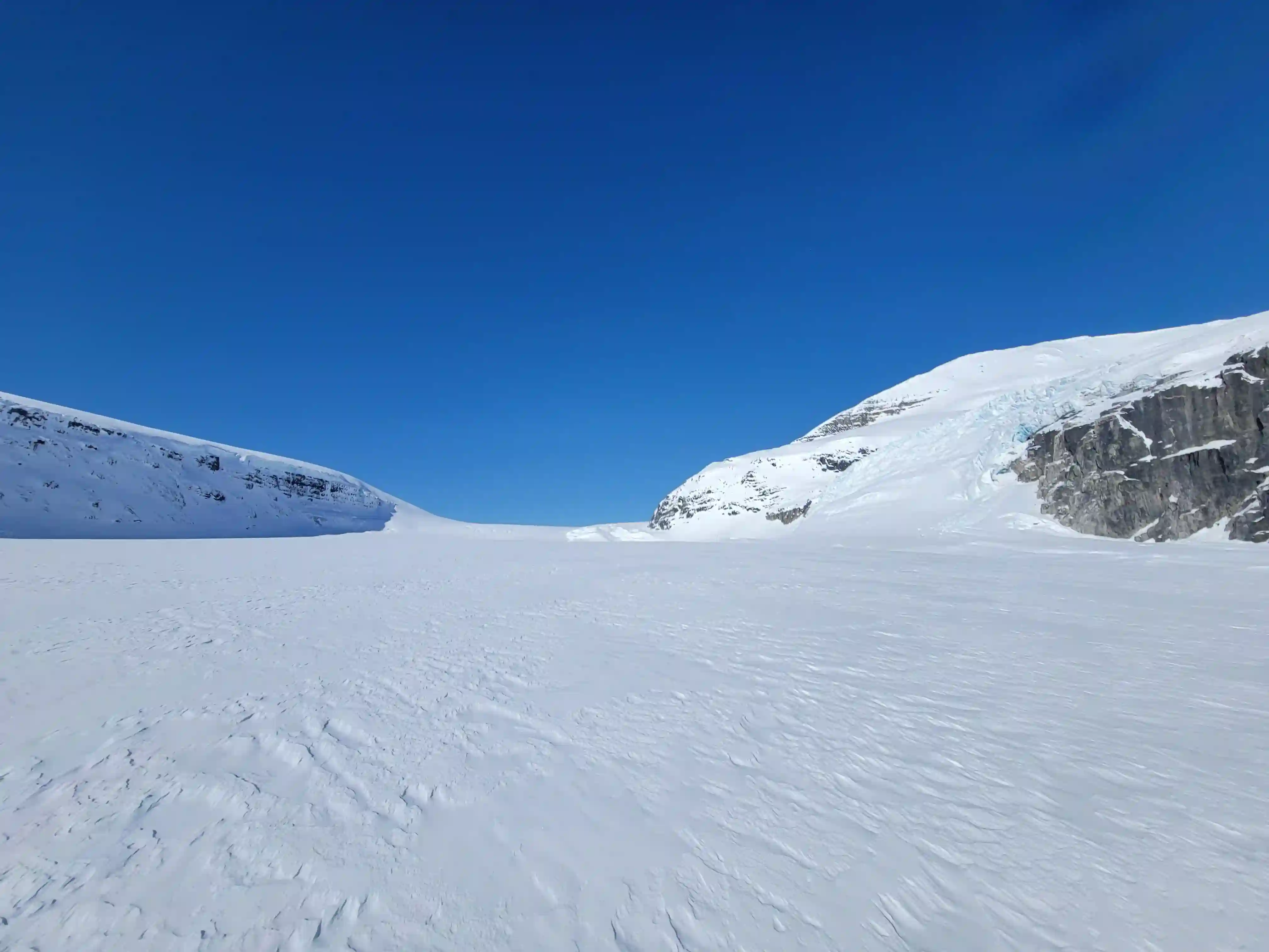
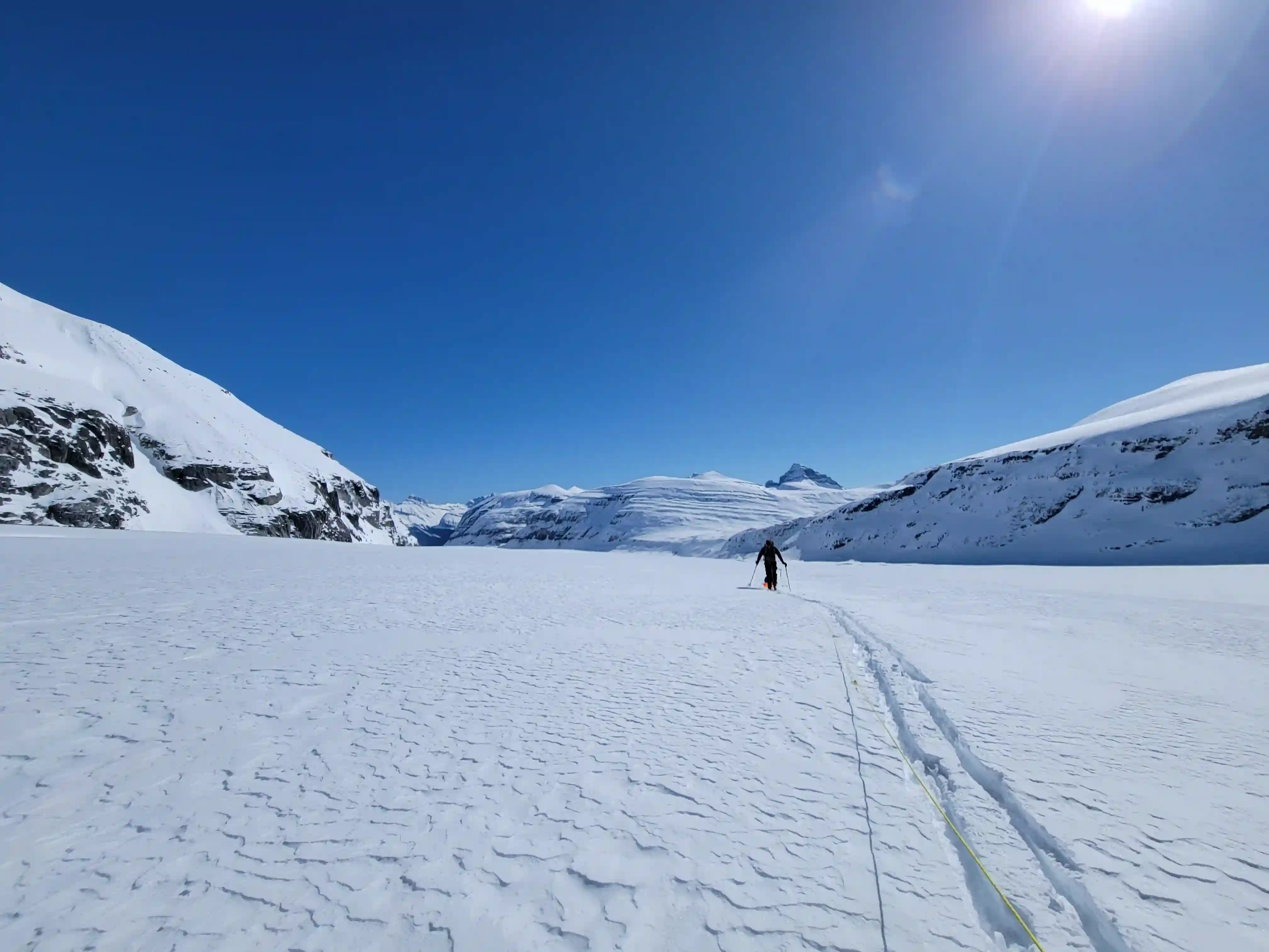
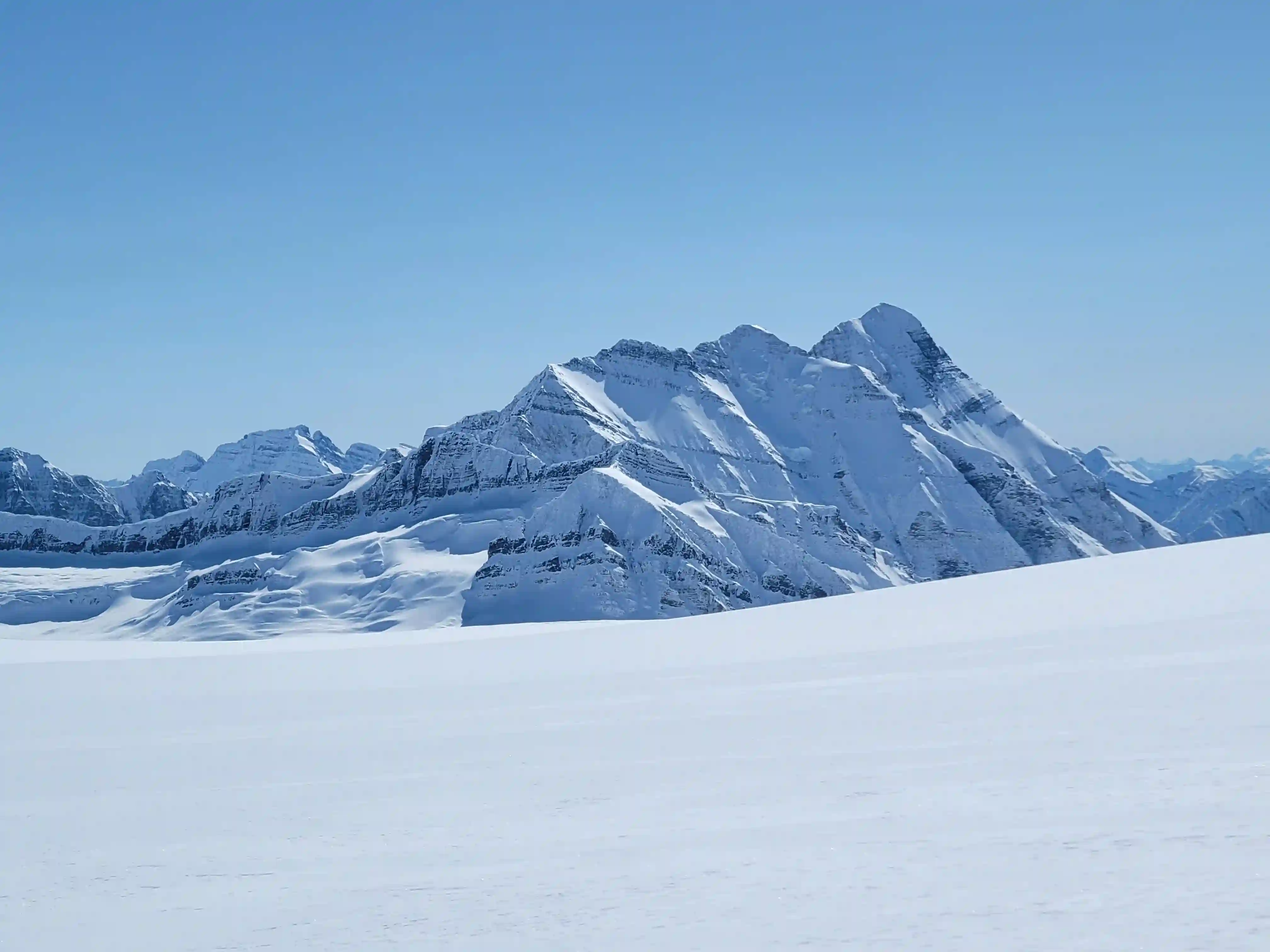
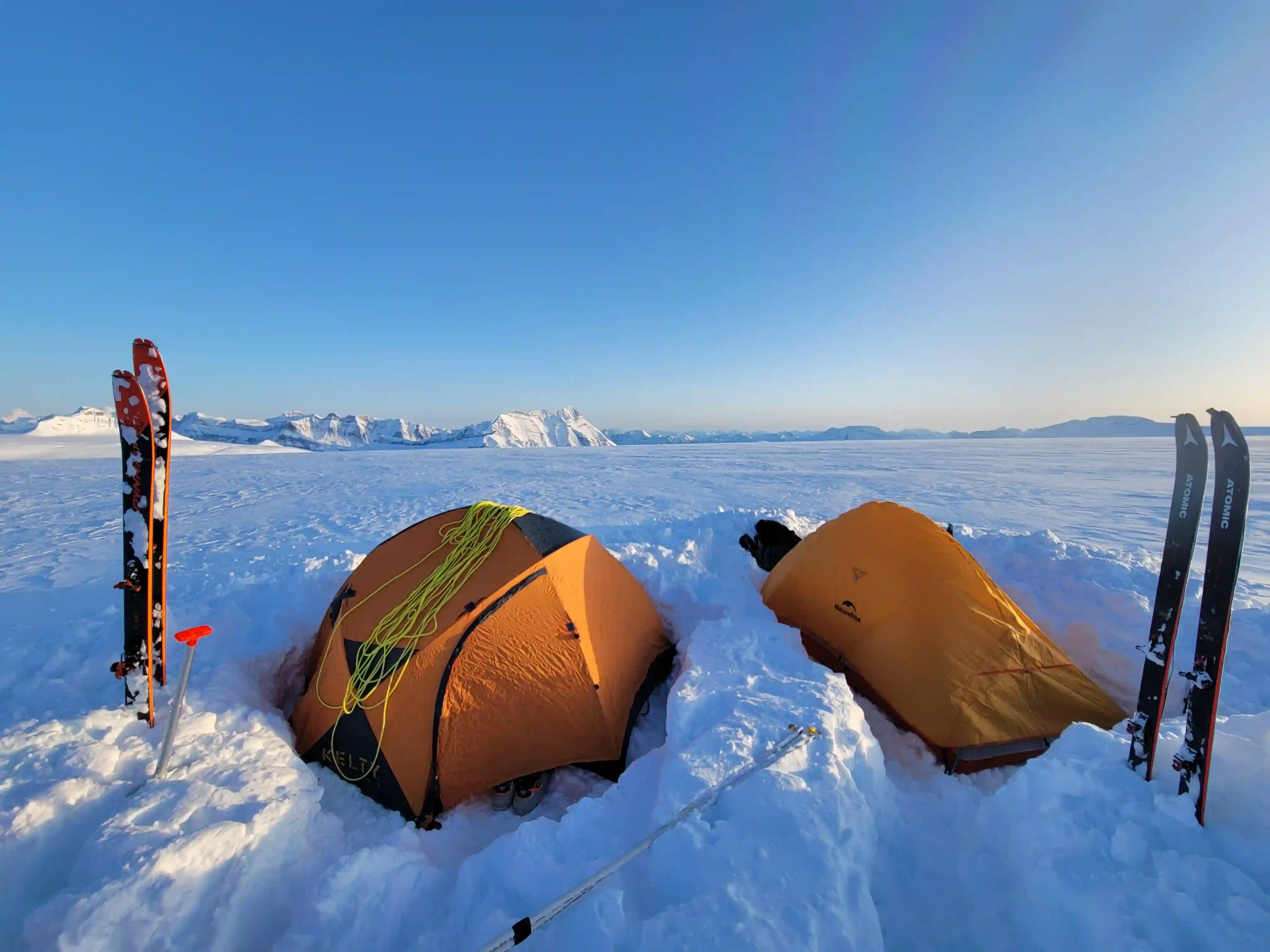
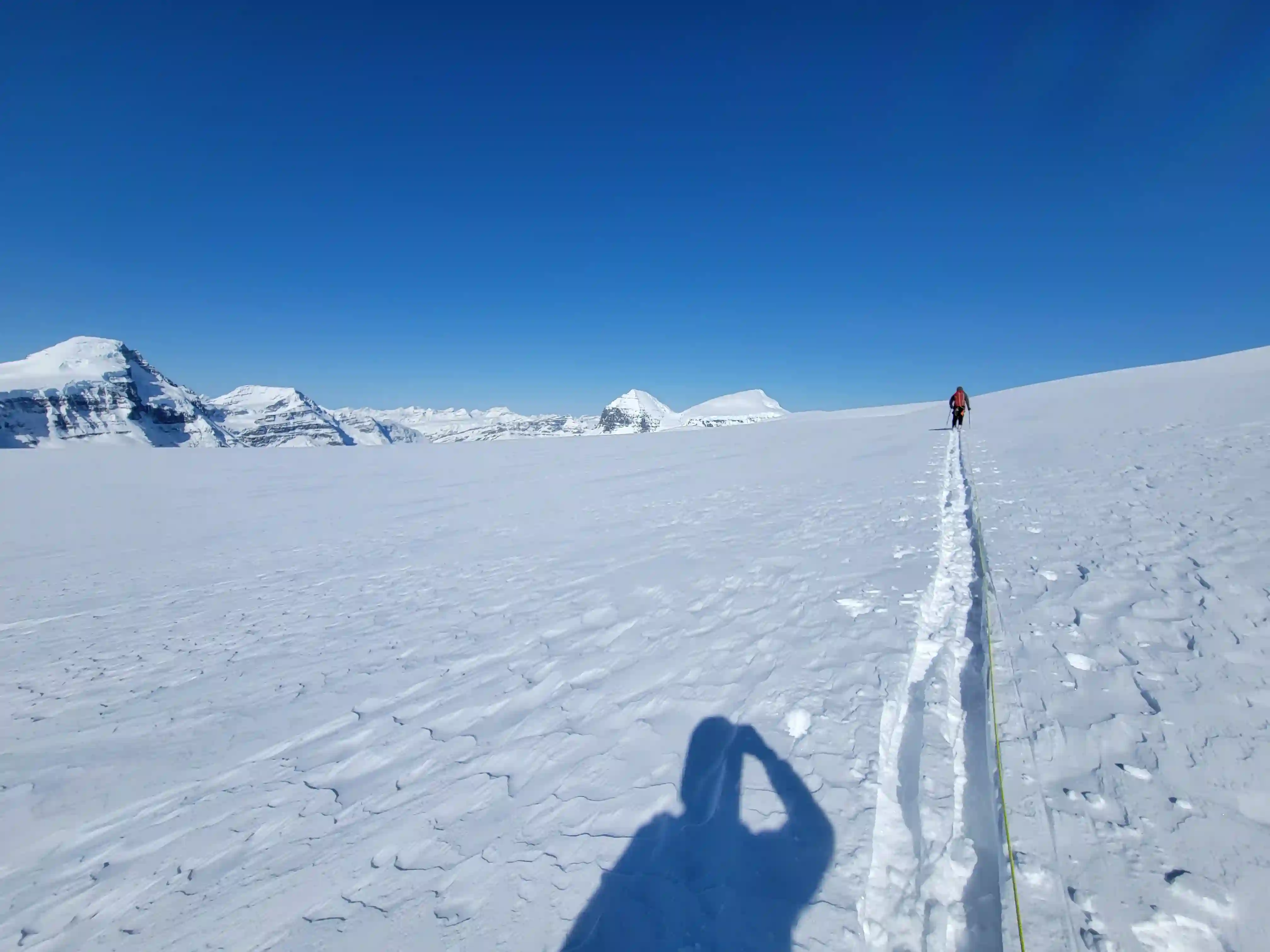
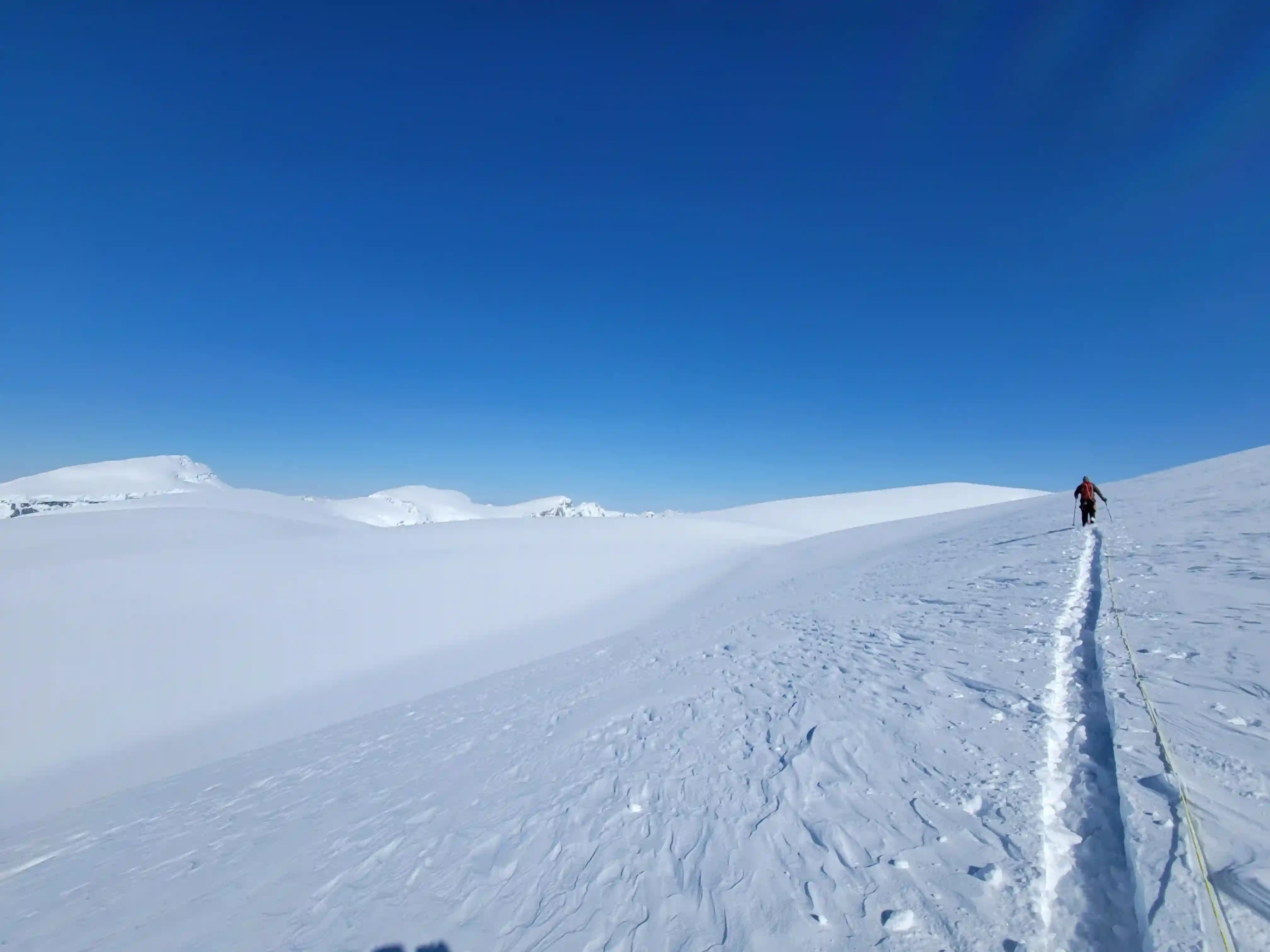
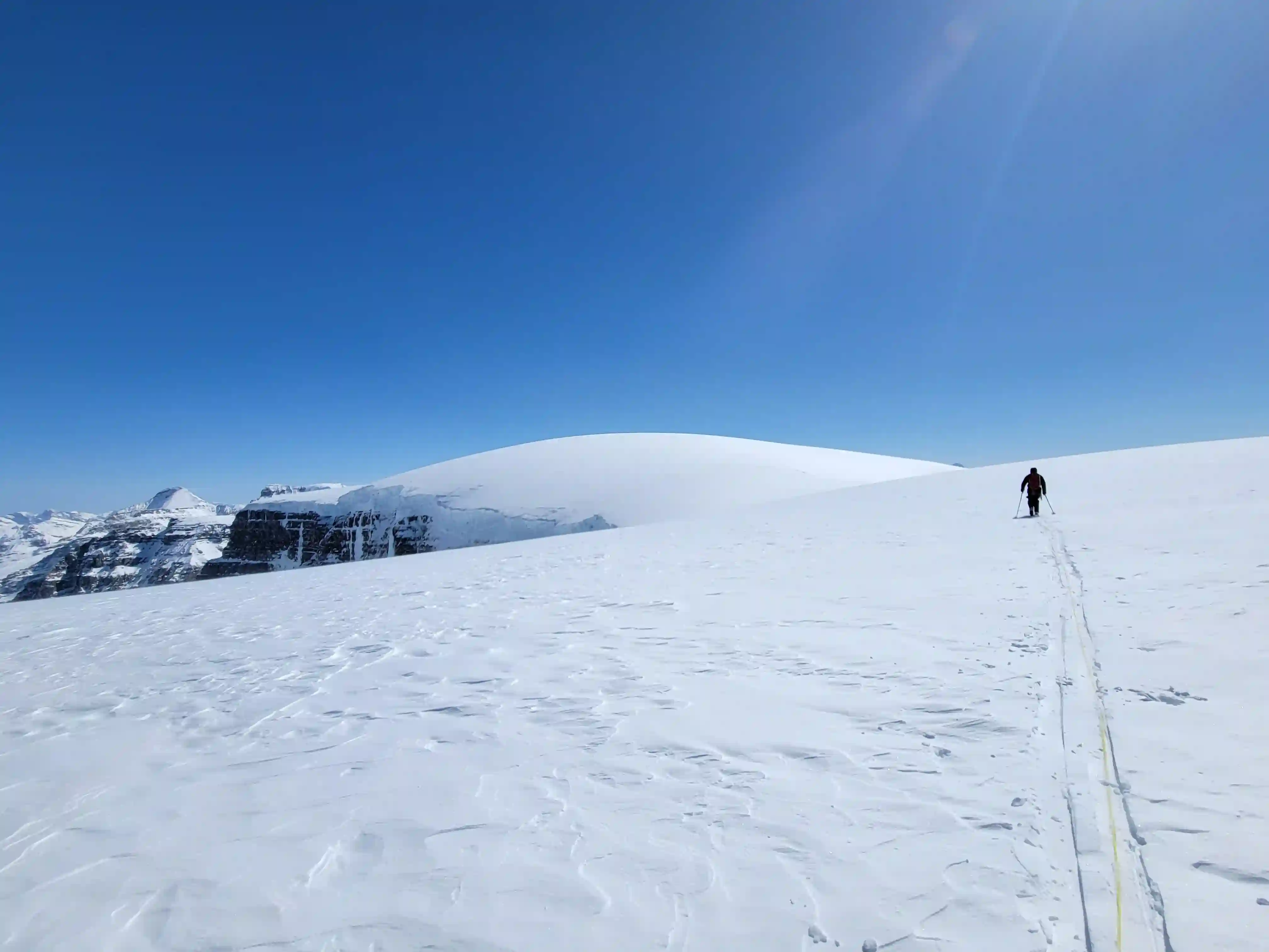
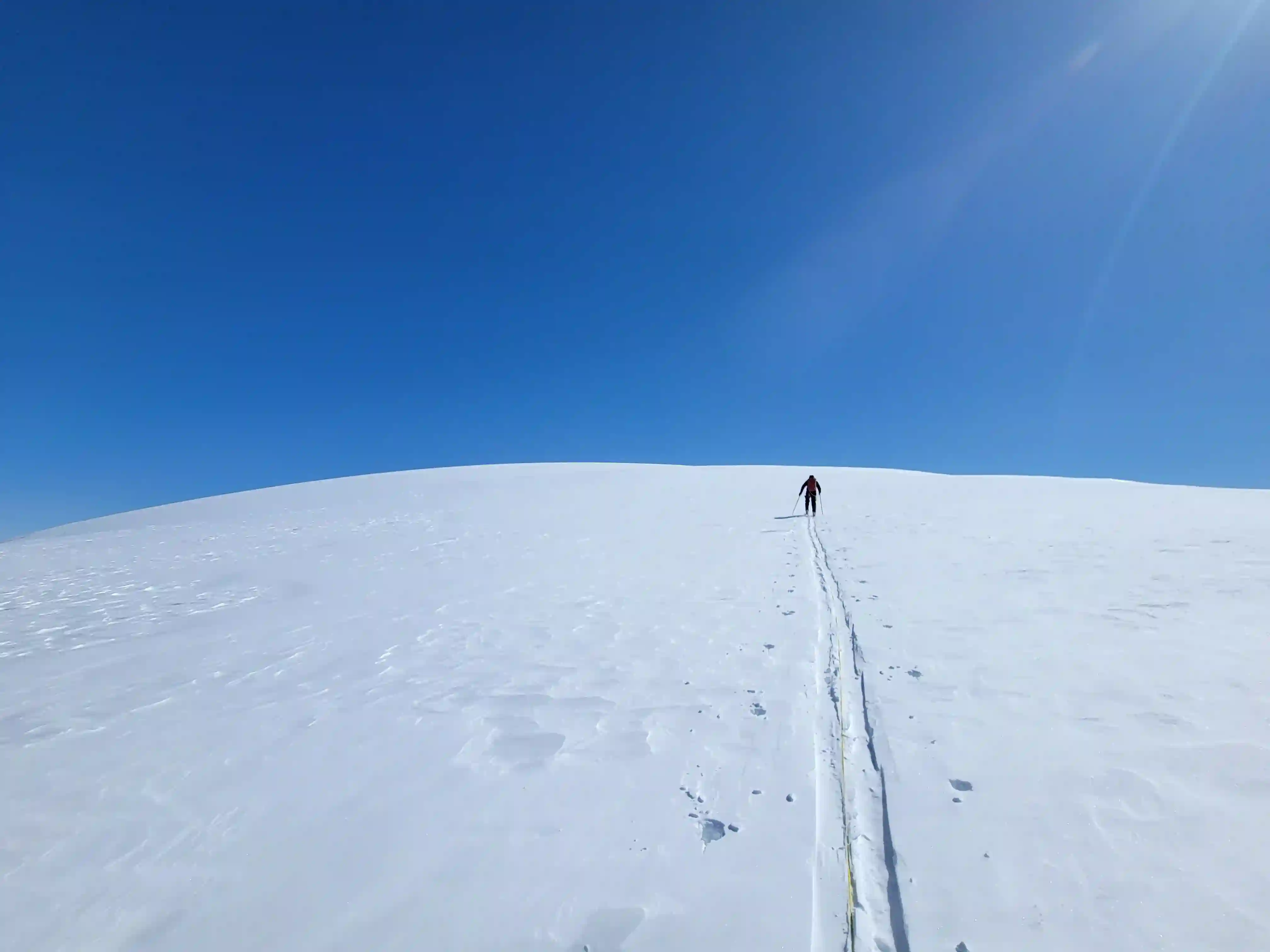
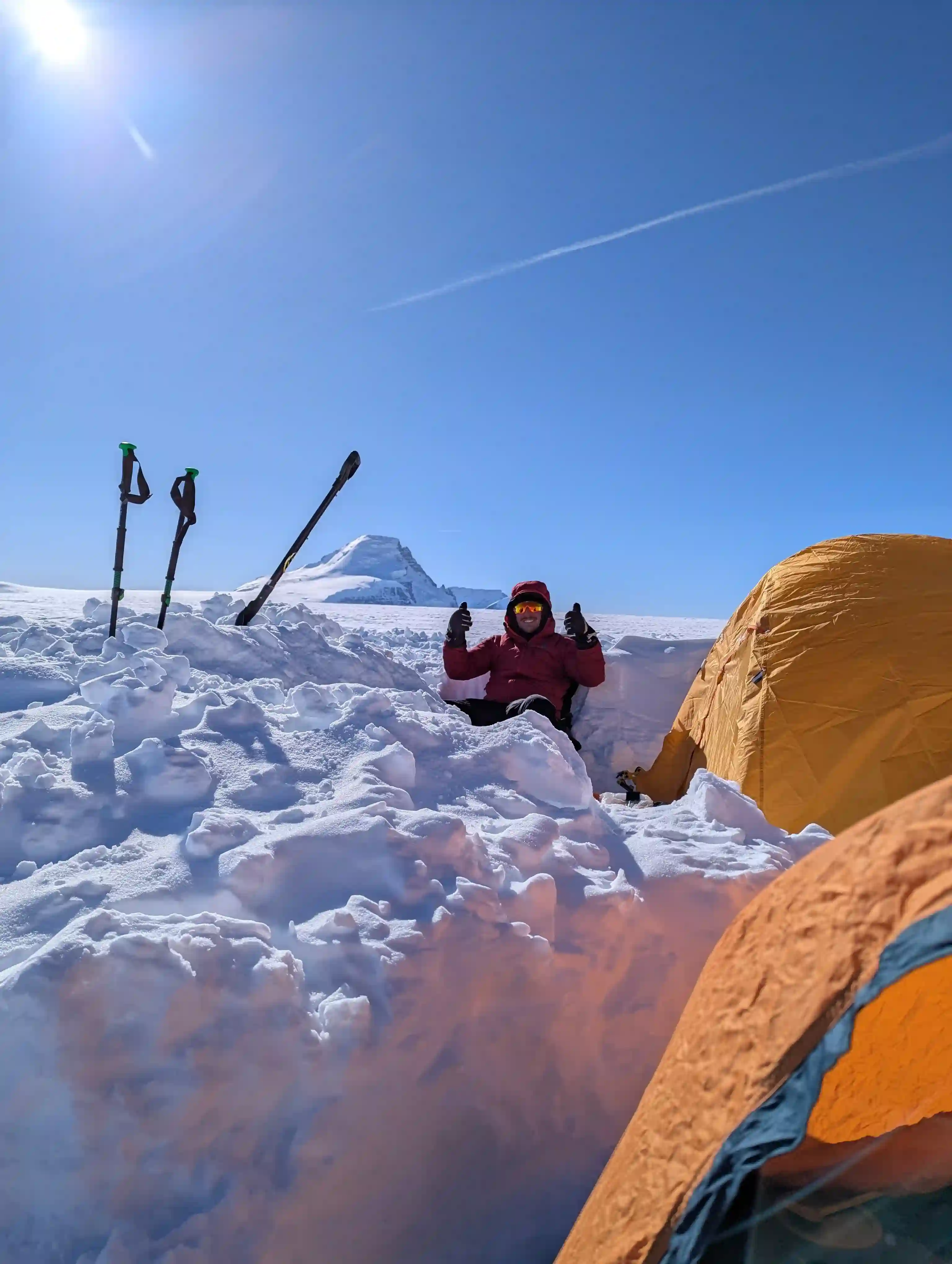
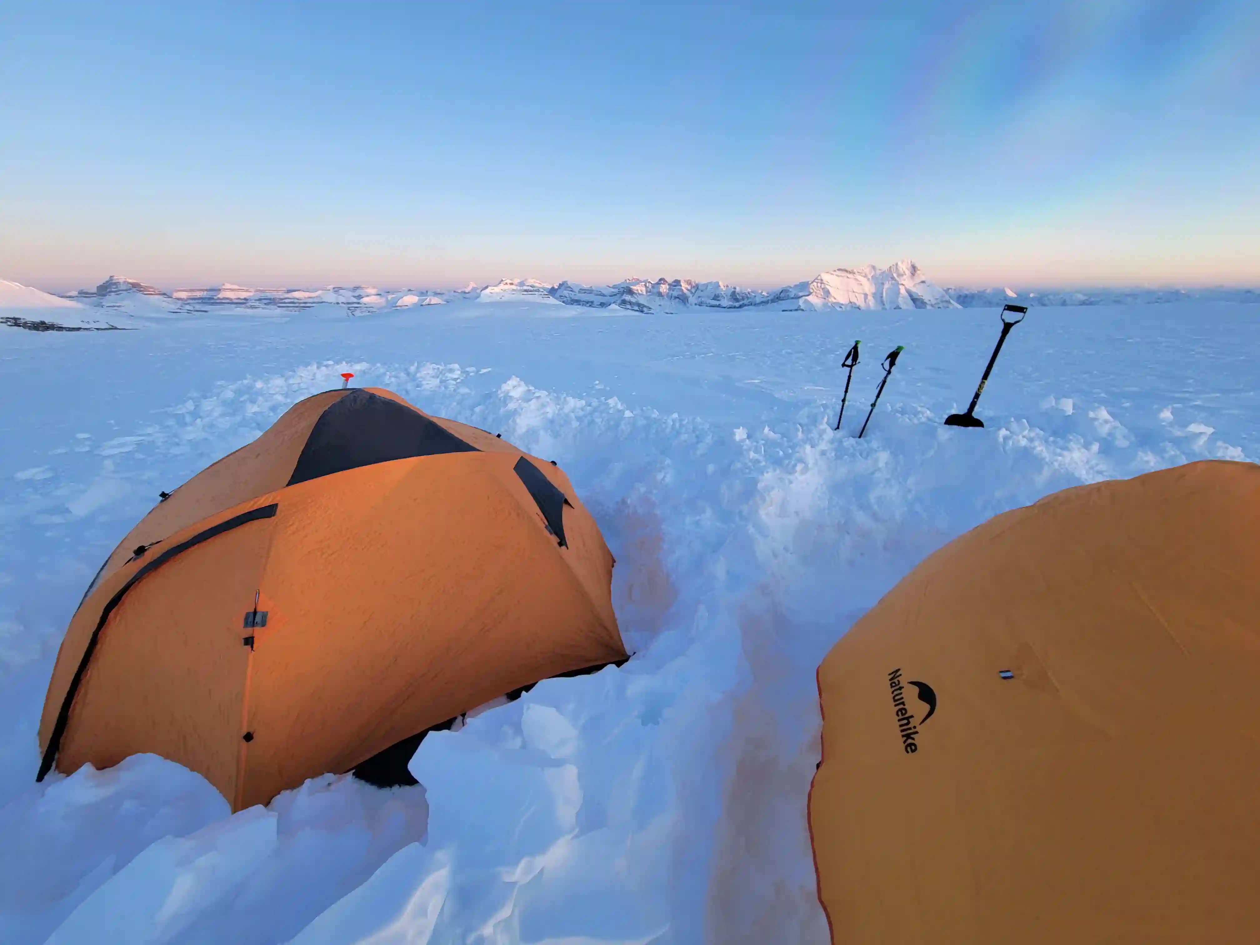
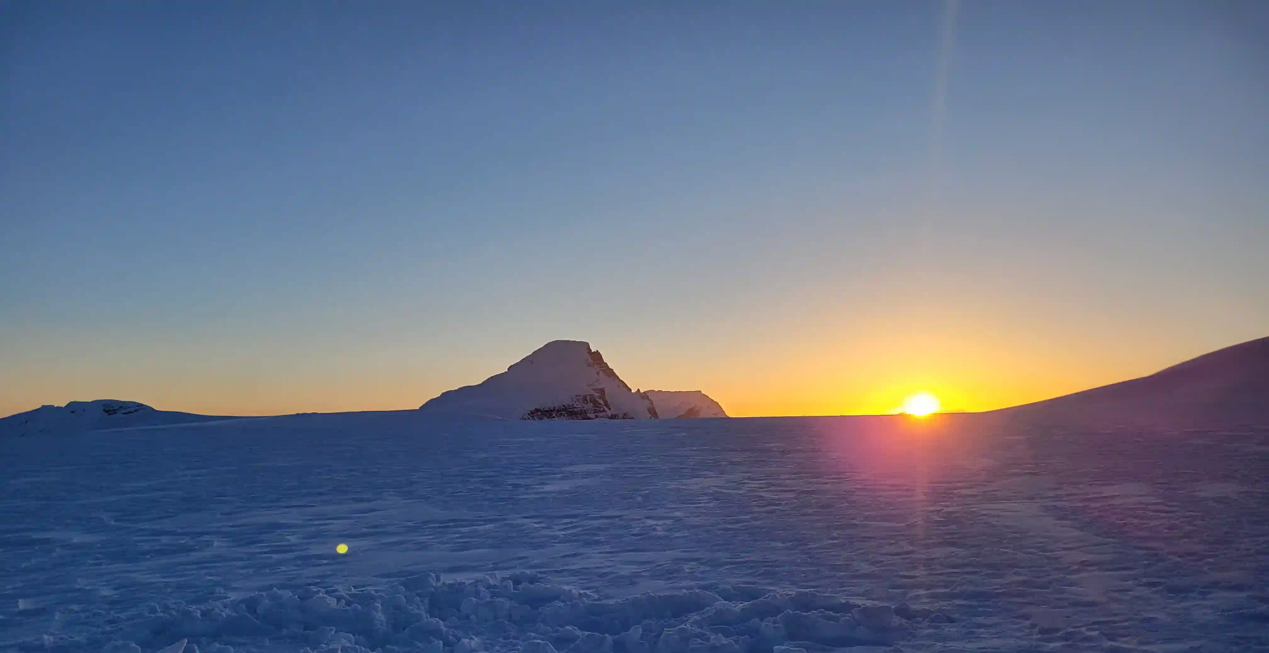
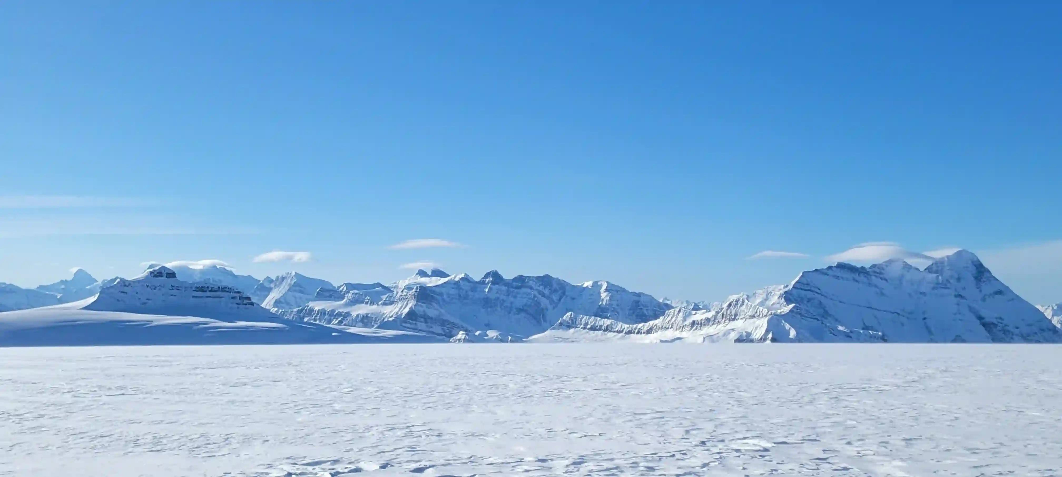
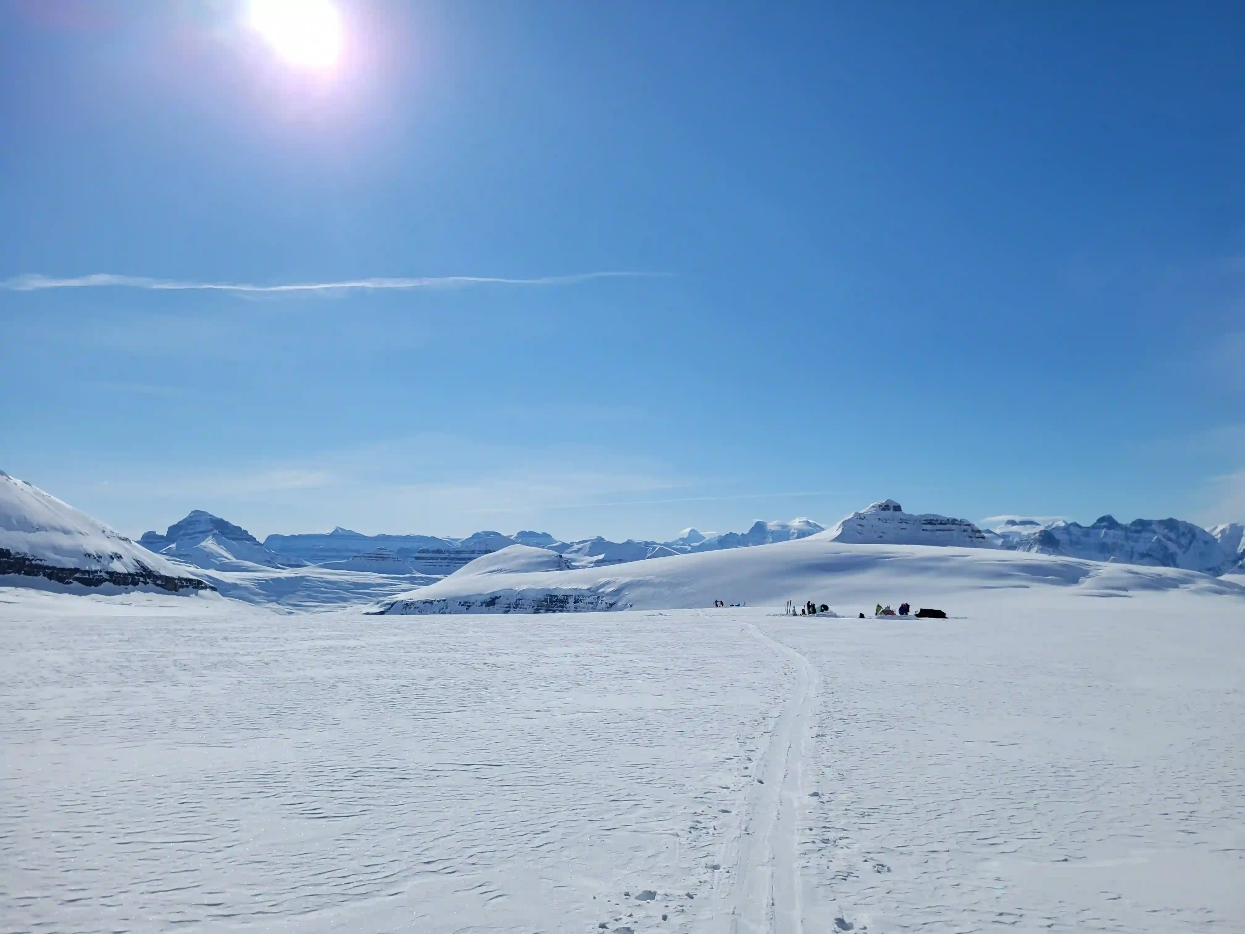
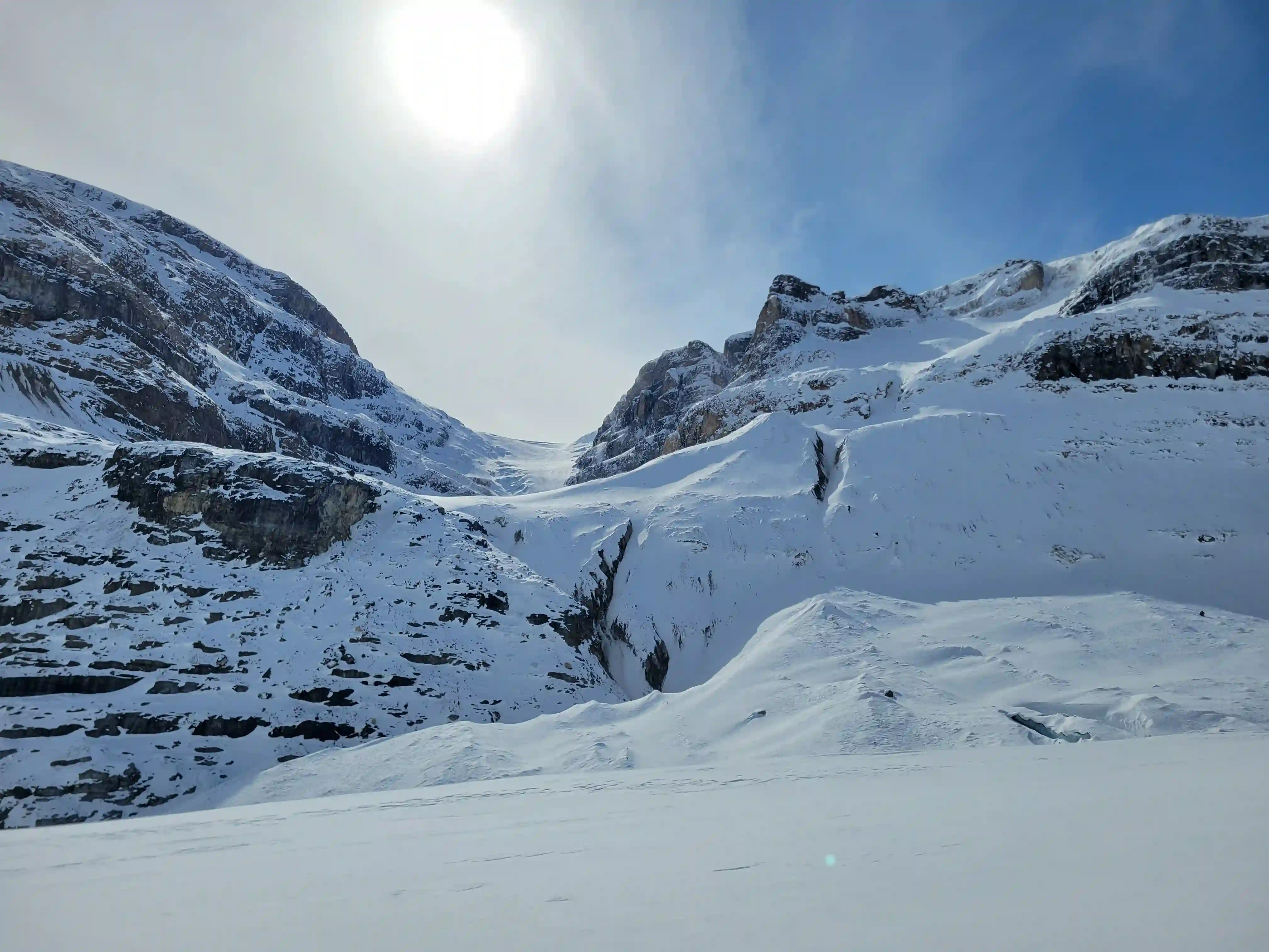
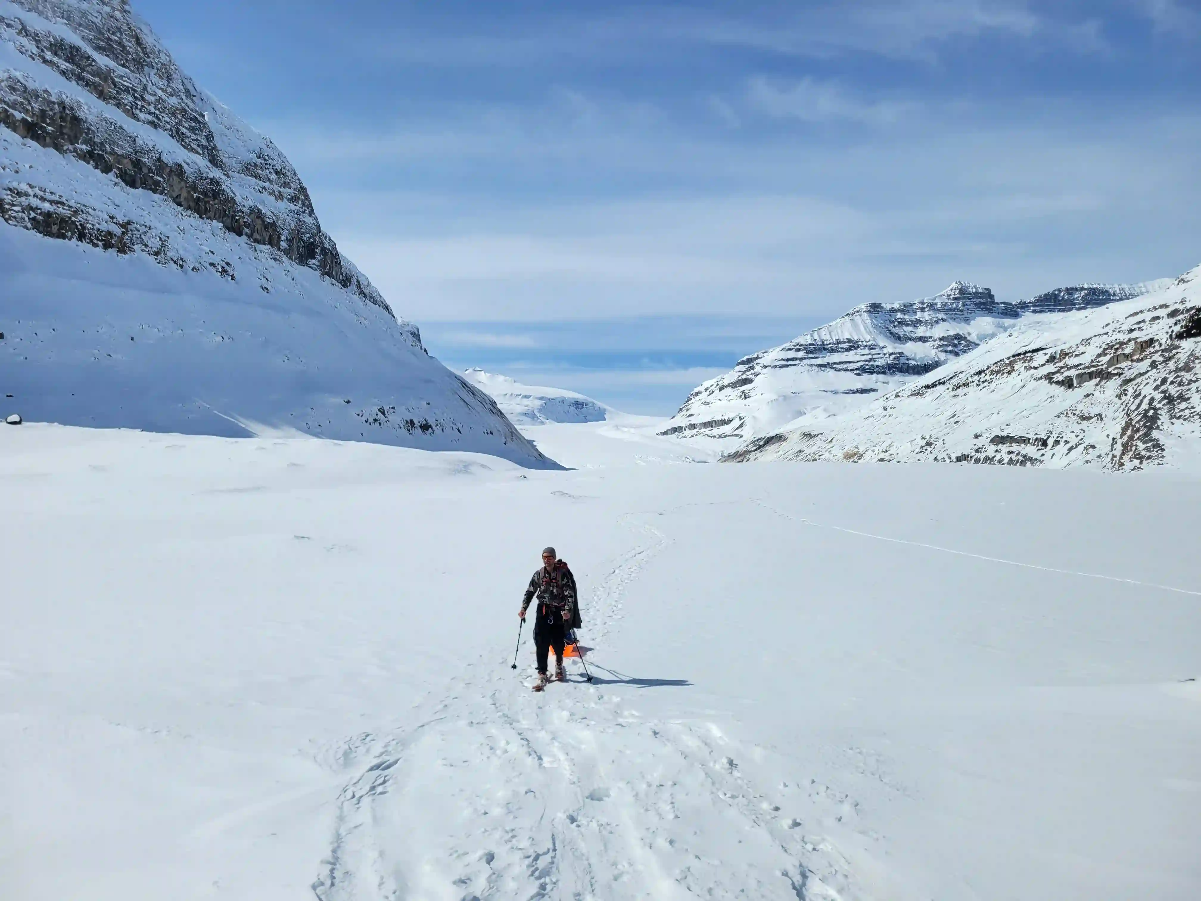
After slowly turning right as we headed up the Saskatchewan and passing some of the few open crevasses on route we were finally on the Columbia Icefield but our hard work wasn't done yet. What followed was a series of countless false summits and foreshortened views of Snow Dome that felt like they lasted for much longer than they should've. This was the hardest part of our day as the grade had gotten steeper and we were sinking deeper into the snow so it didn't take long for us to realize that going for the Stutfields and Cromwell in the 3 day weather window we had with the current conditions was out of the question. As we crested to a more flat spot just south of Snow Dome next to it's shoulder we decided to call it a day and after finding a spot with good views of Mount Columbia we started setting up camp.
THE APPROACH
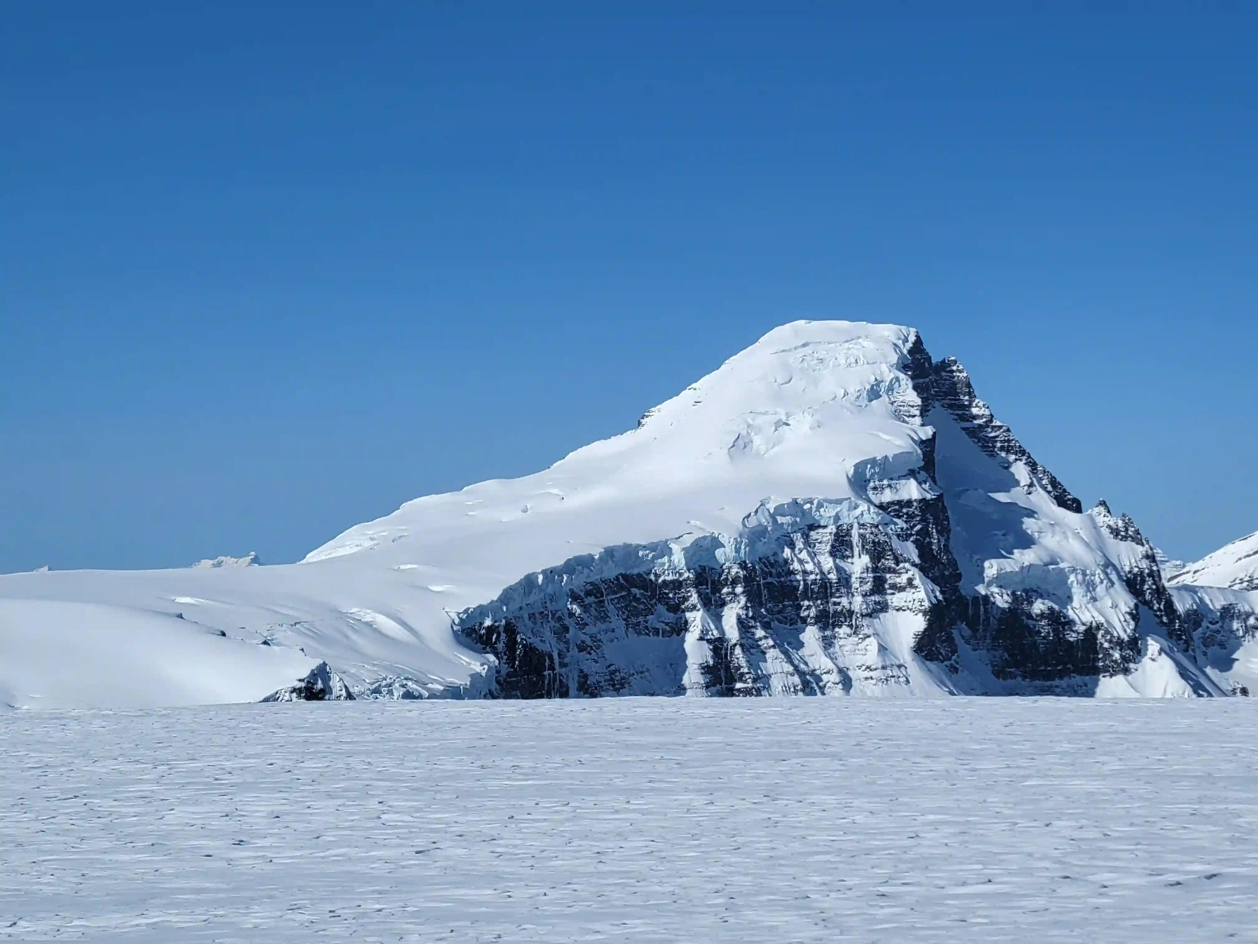
MOUNT KITCHENER
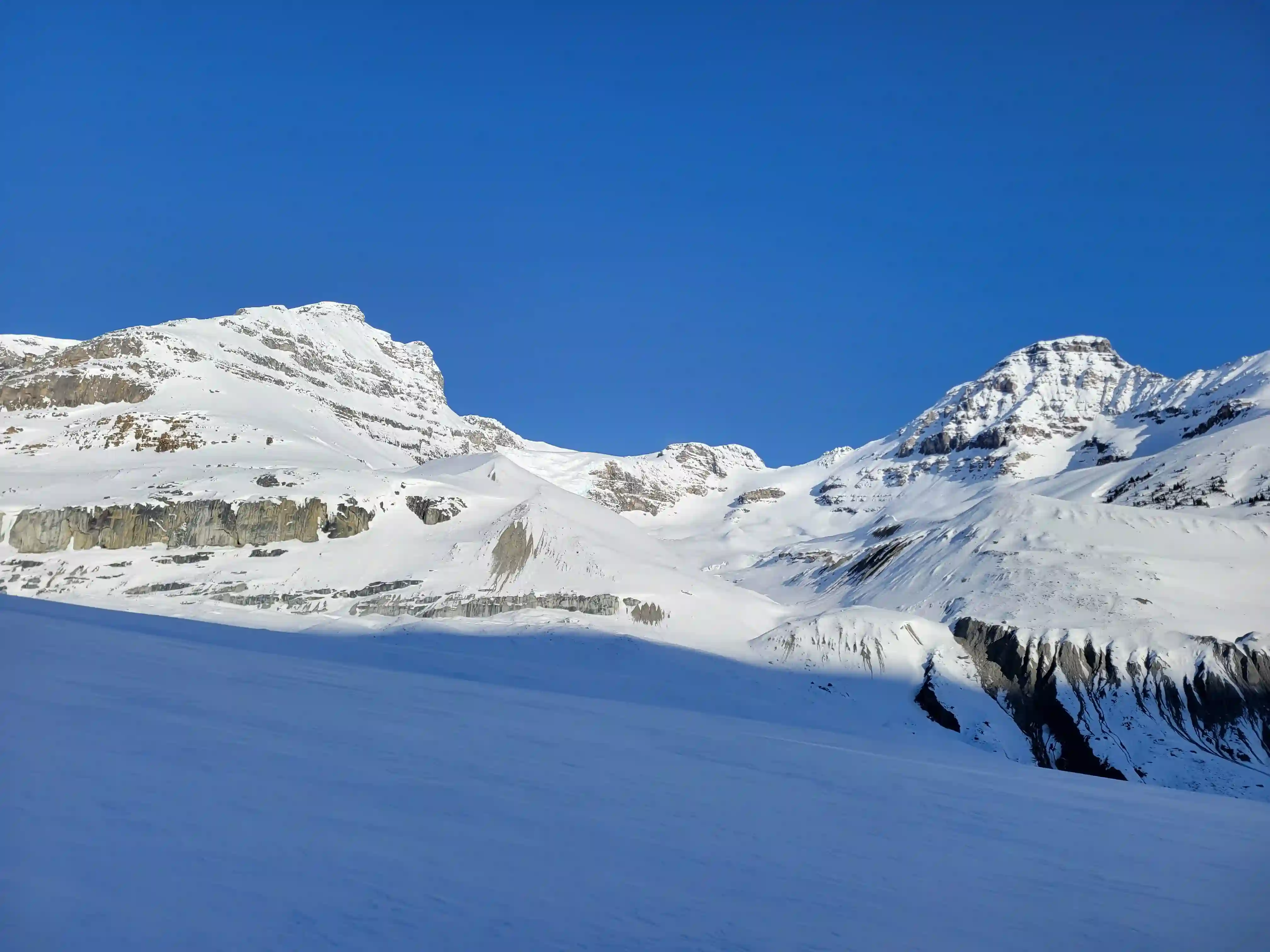
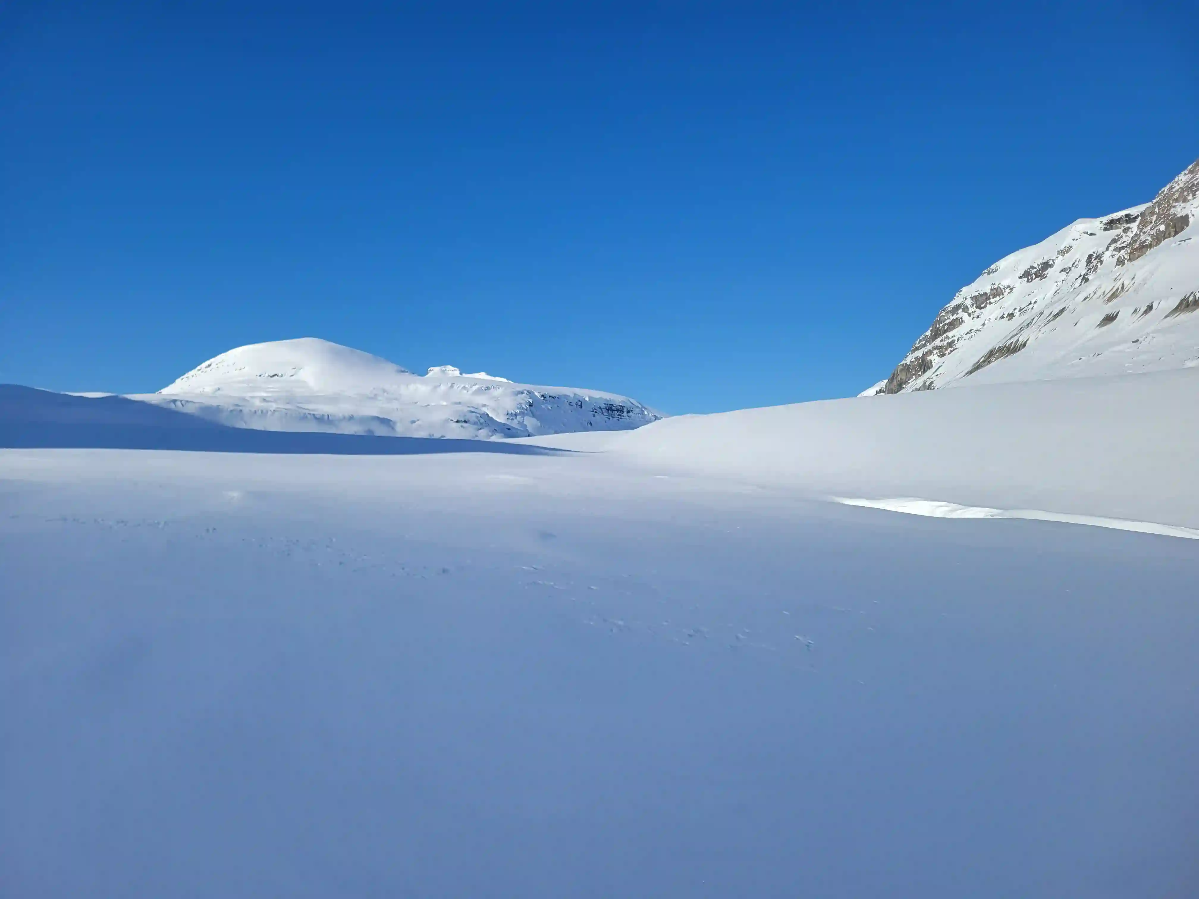
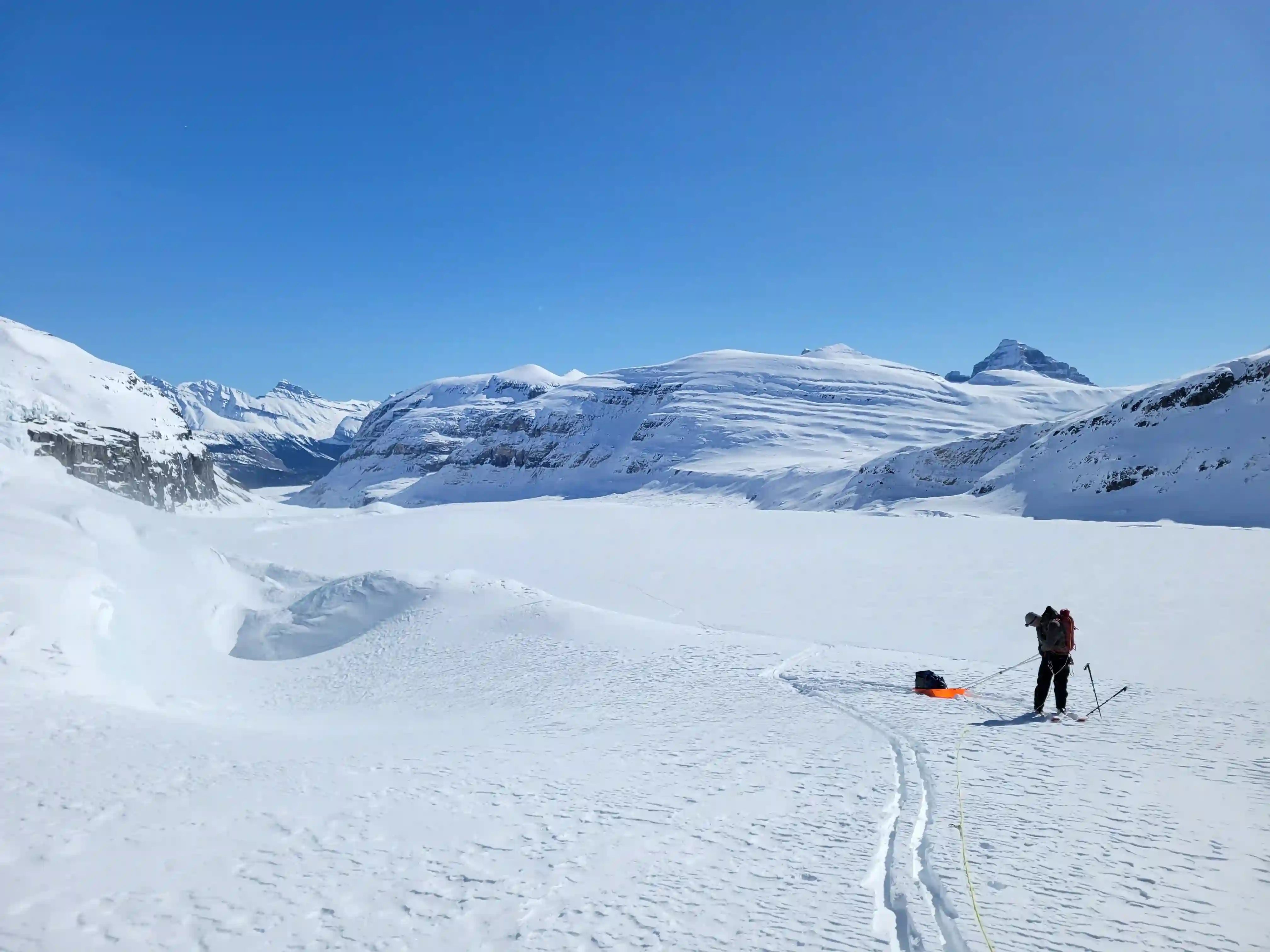
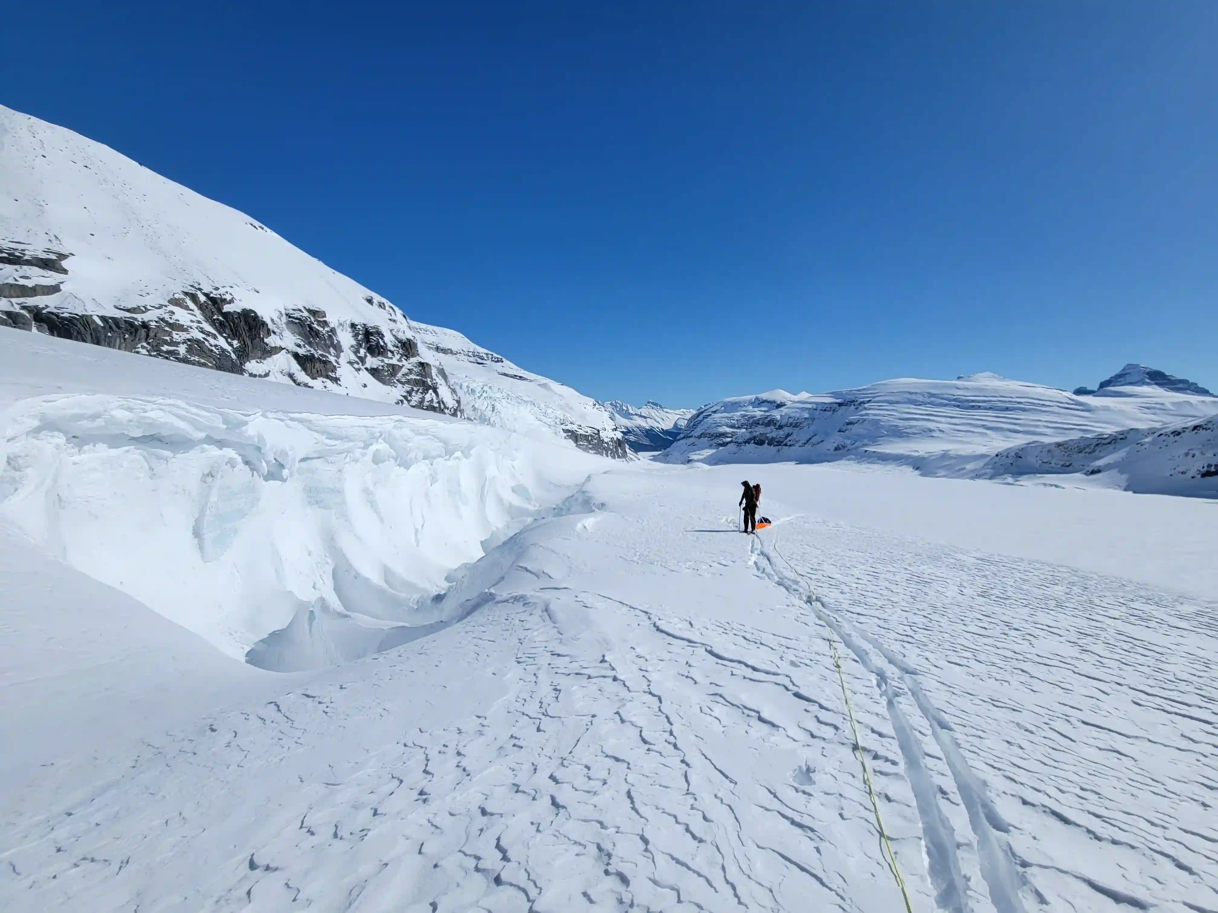
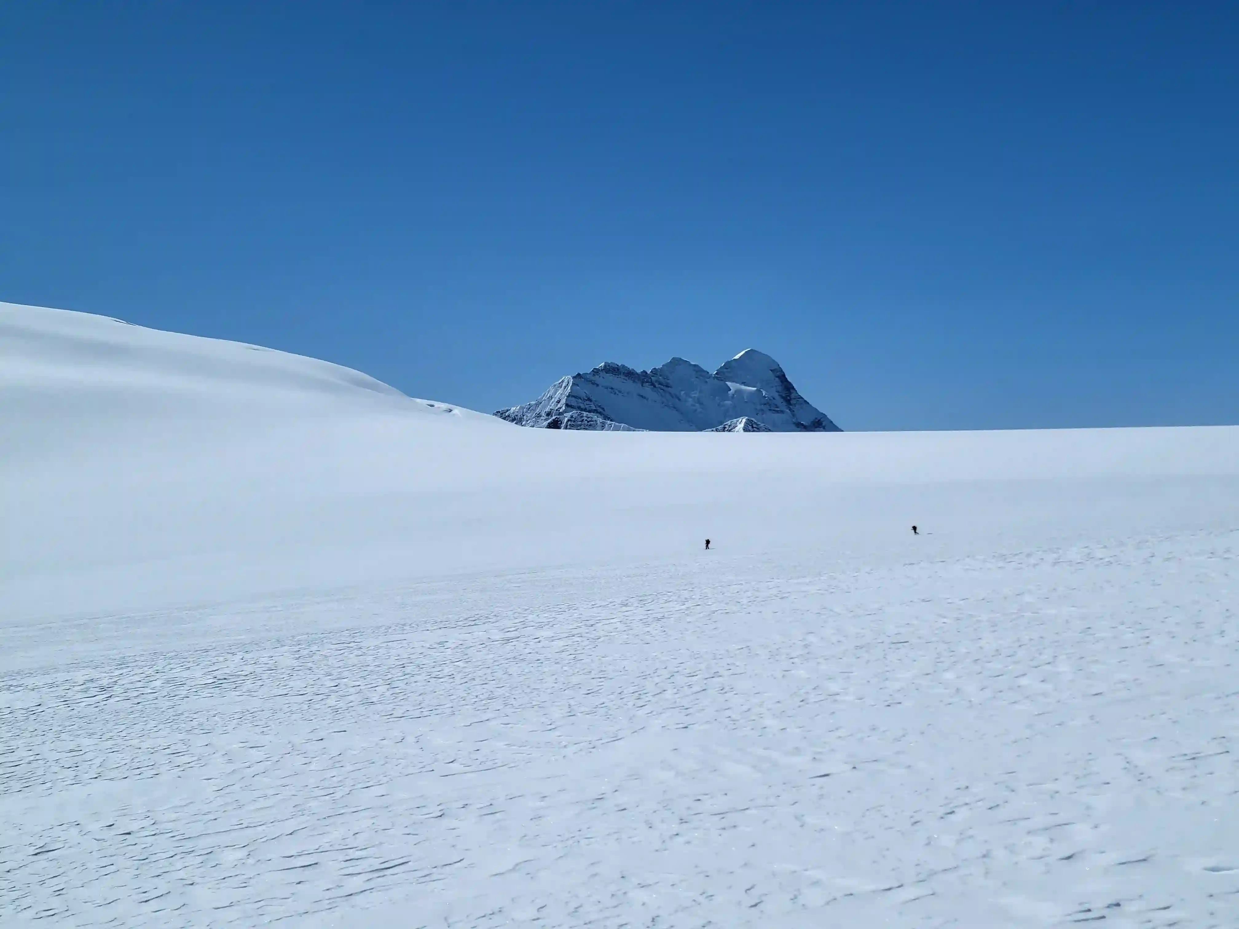
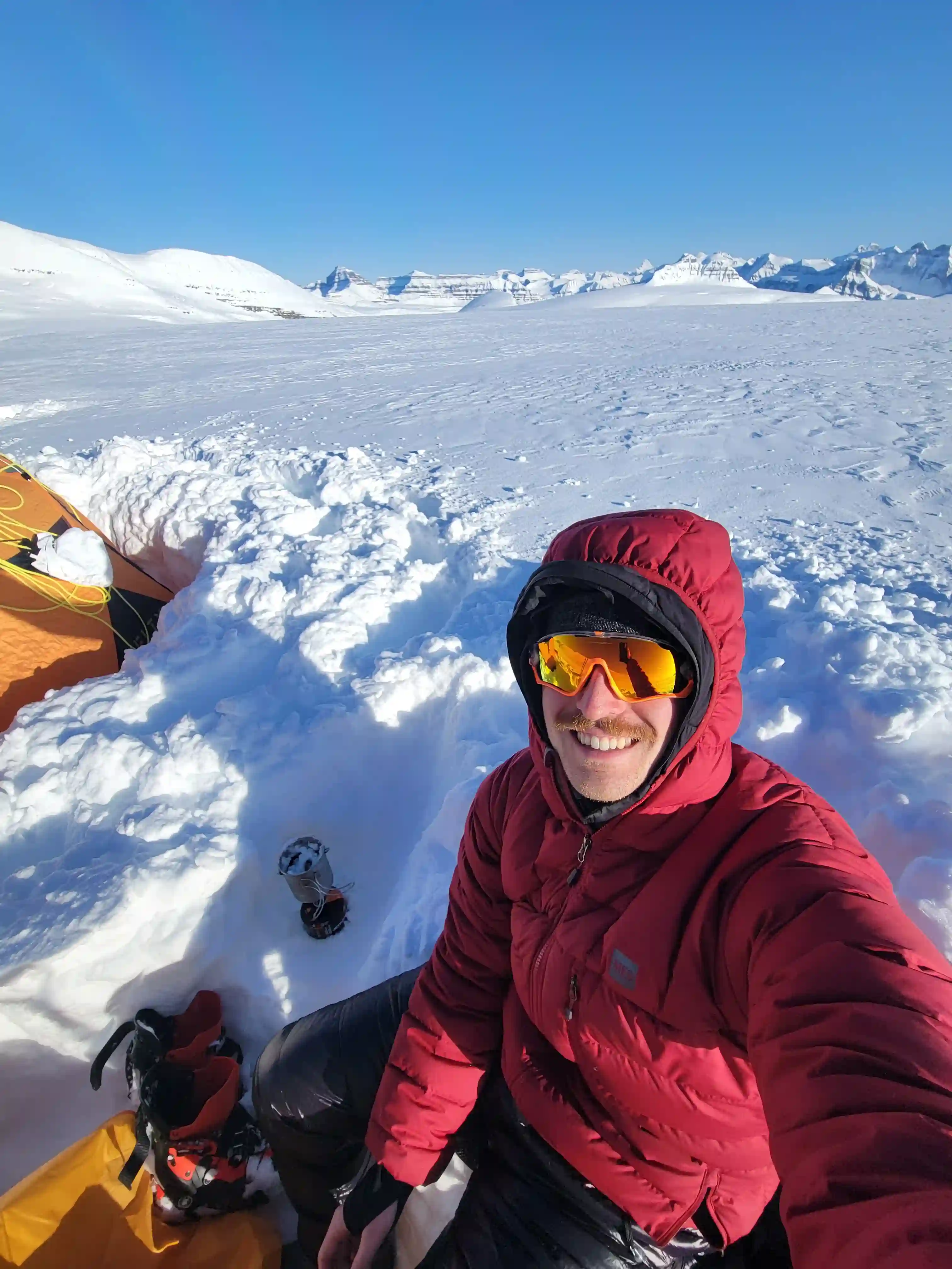
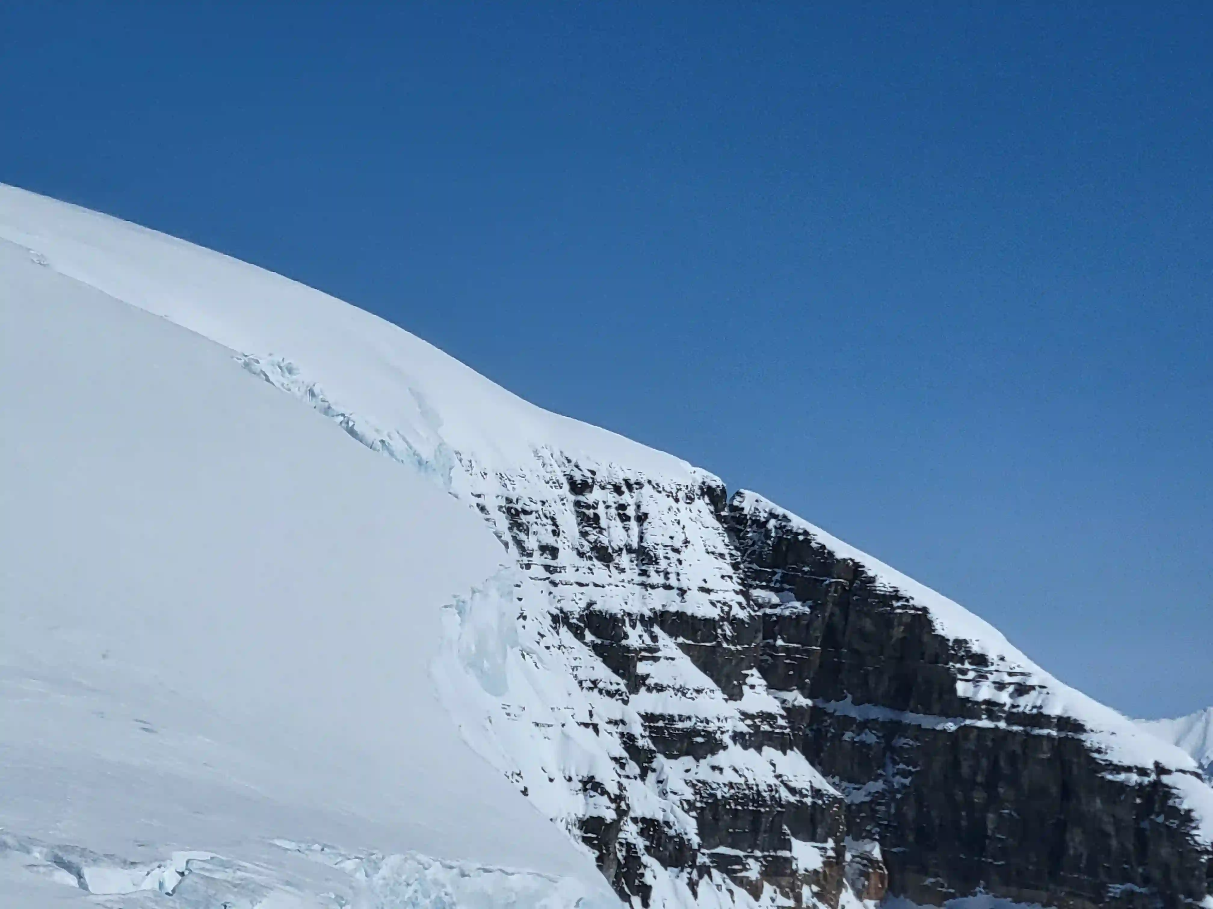
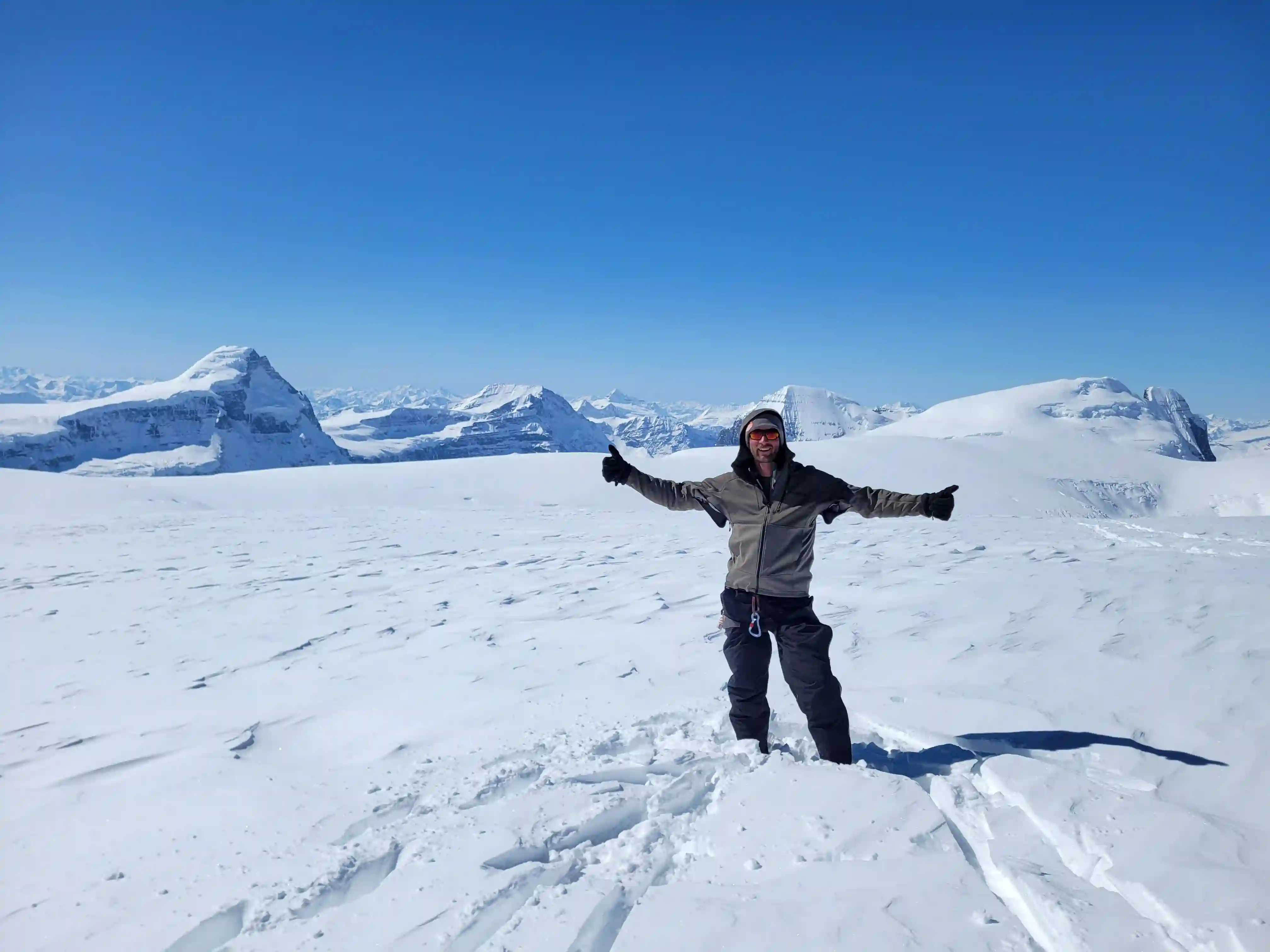
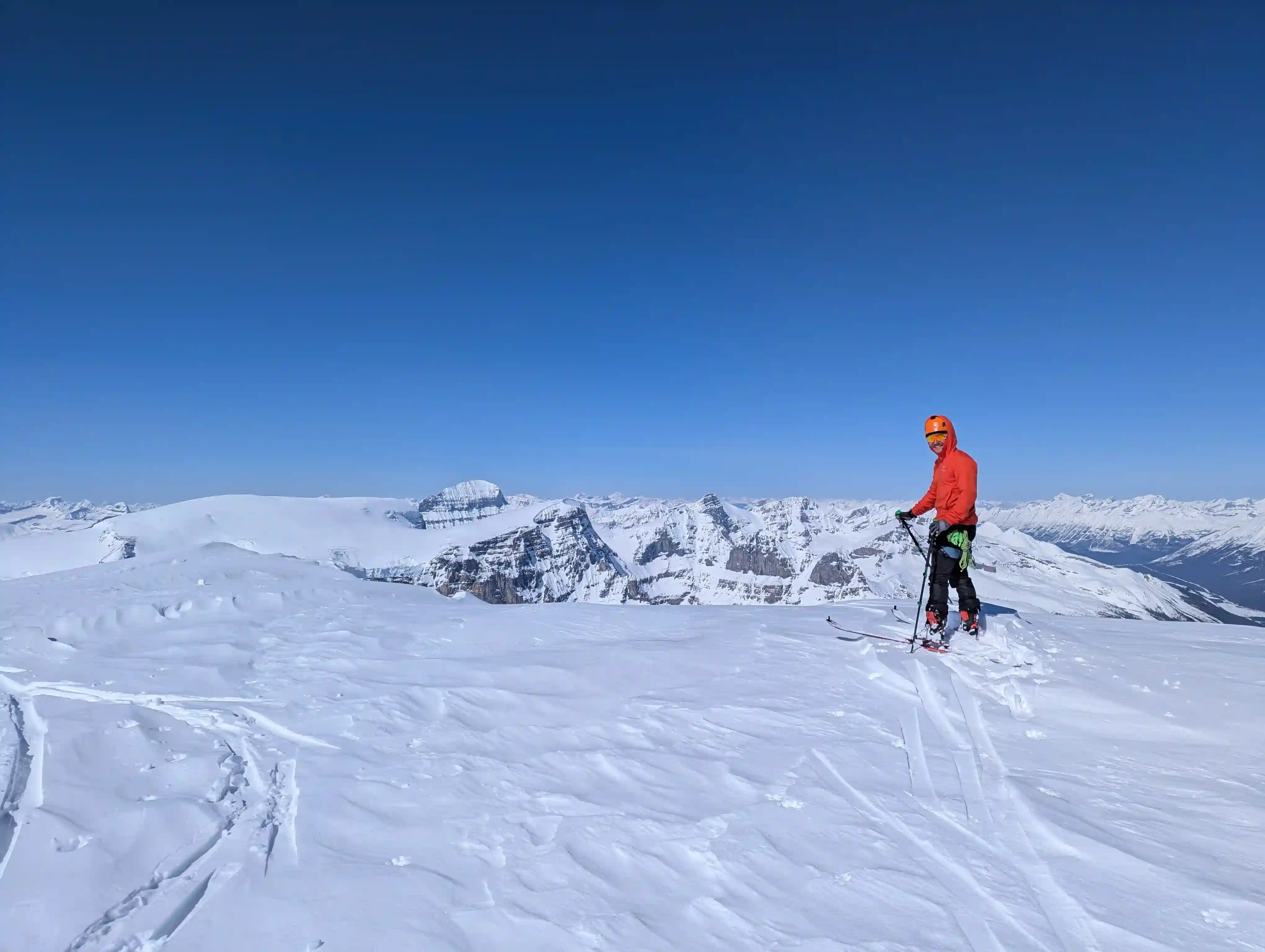
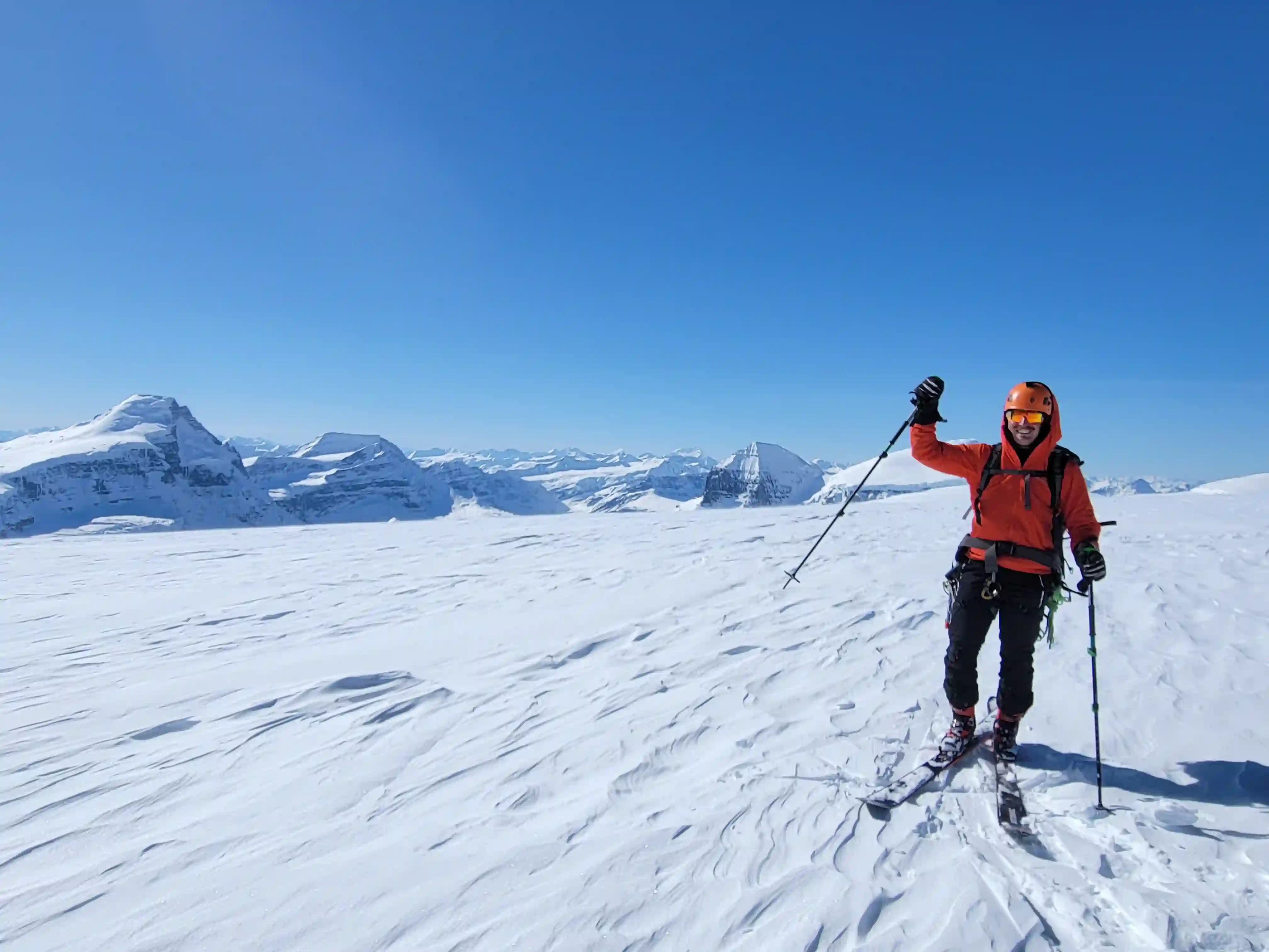
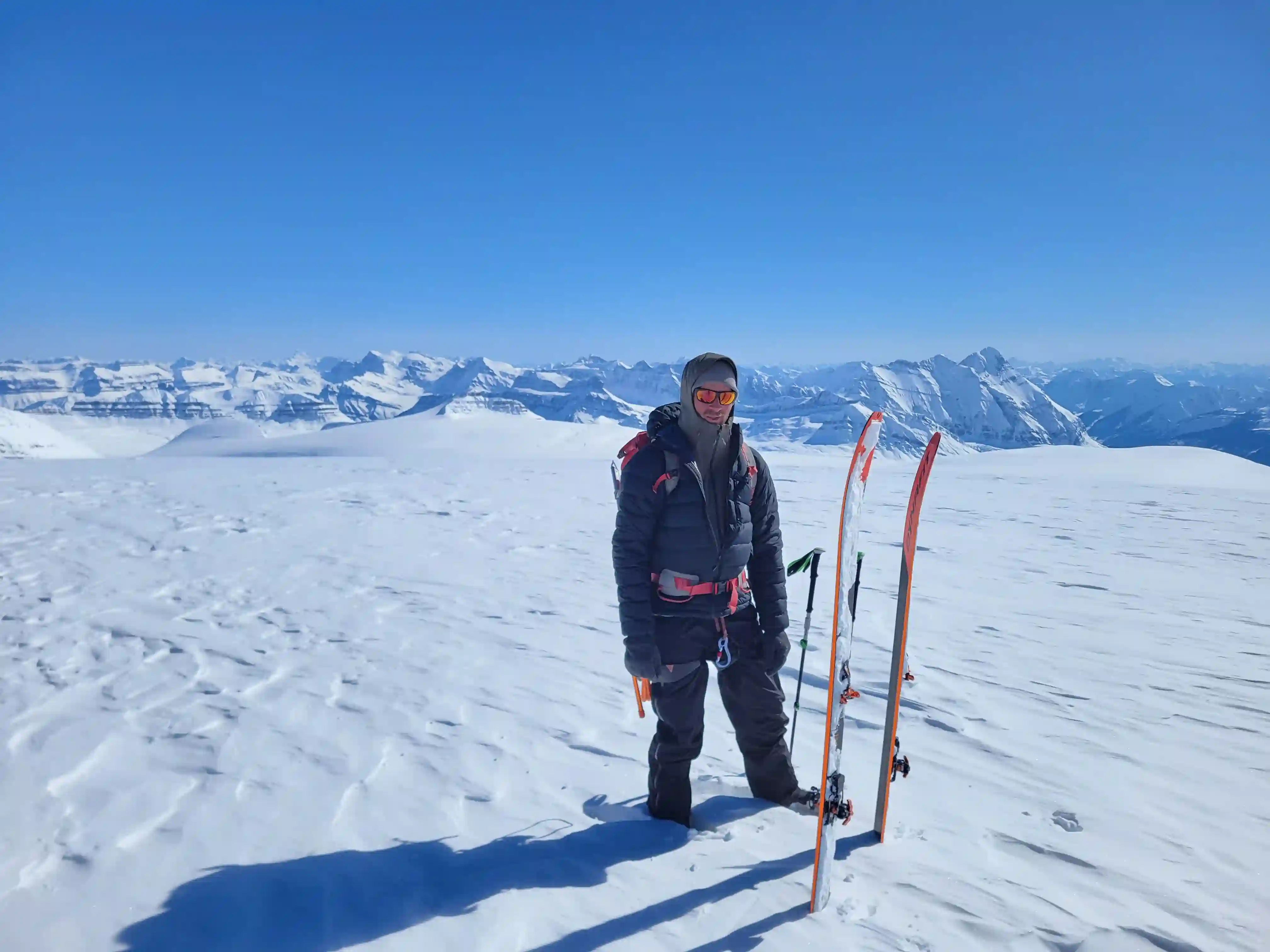
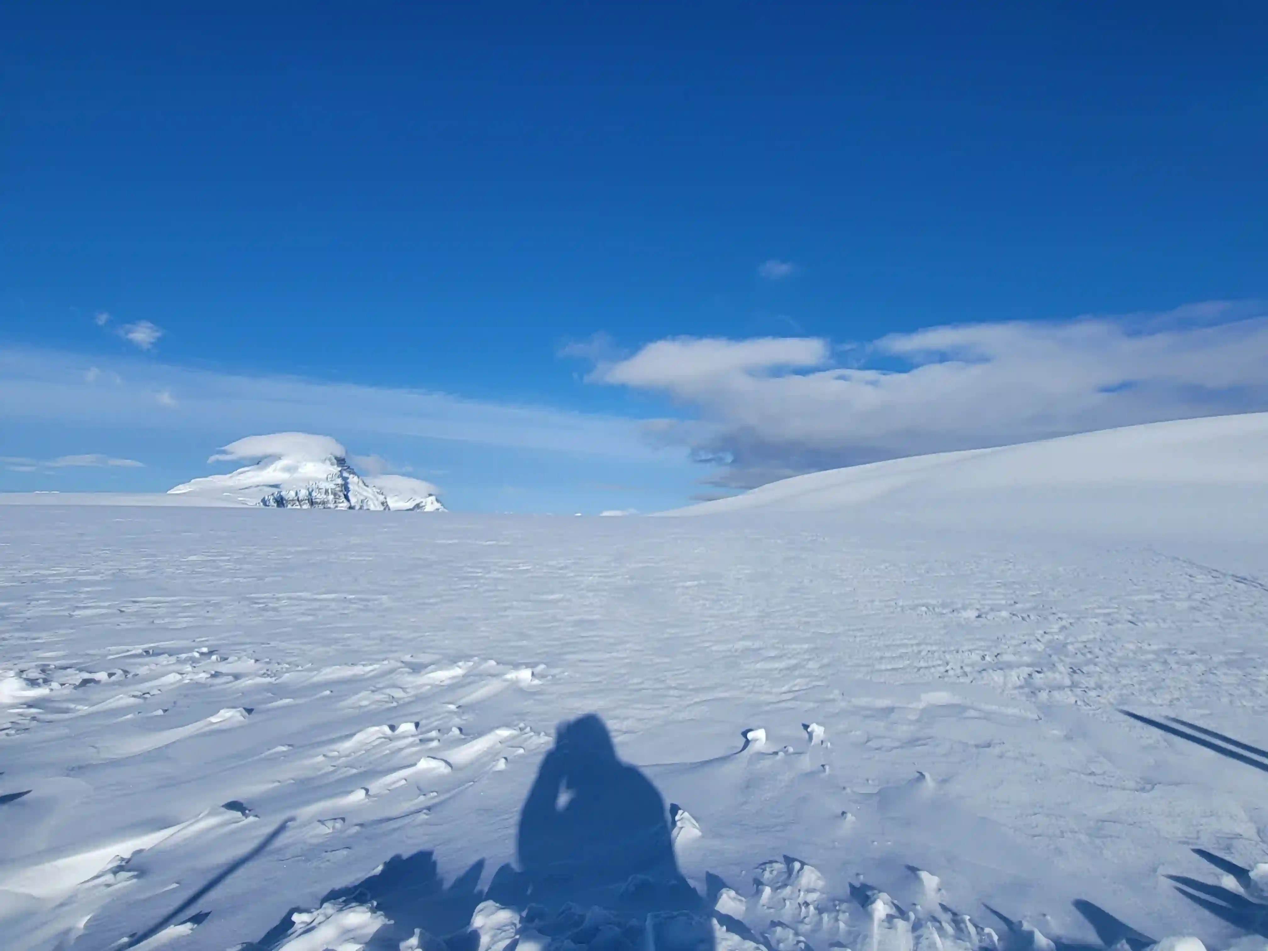
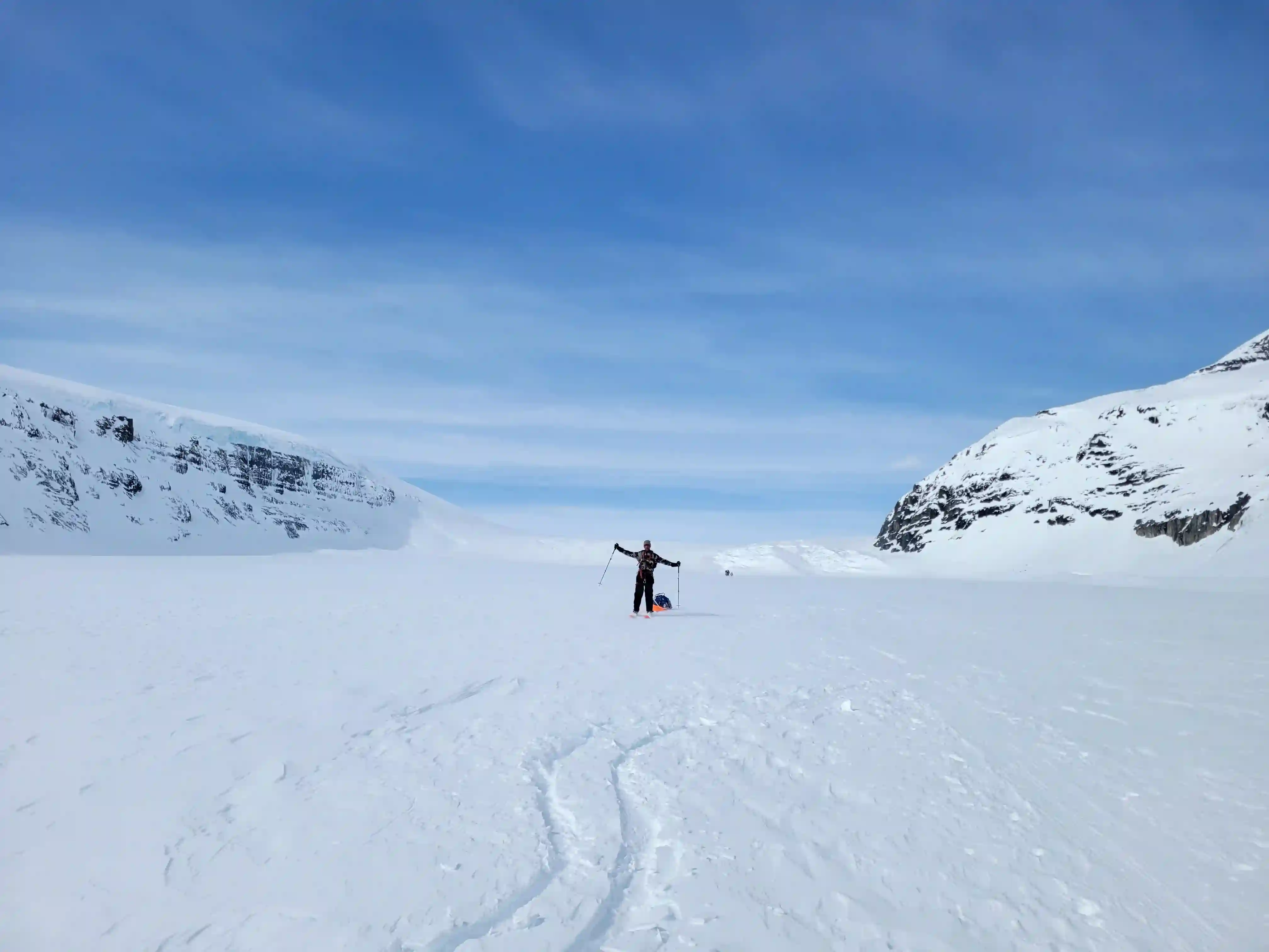
3480m, 11417ftAfter an exhausting approach day Brent and I both decided to sleep in since the wind was quite strong until the sun was fully up. With just Snow Dome and Mount Kitchener on the itinerary we had a relatively short day ahead of us so we weren't worried about time and by 10am we were headed towards the shoulder of Snow Dome. We decided to go for Kitchener first so that we'd have a nice ski run off of Snow Dome back to camp so after gaining the shoulder we skirted around Snow Dome aiming to gain as little unnecessary elevation as possible before reaching the Kitchener-Snow Dome col. We ended up gaining a bit too much so had a bit of descending to do to reach the col but both the Kitchener and Snow Dome ascent were relatively chill compared to the ordeal we had to deal with for our approach so this wasn't the end of the world. After a bit of slogging on the skins we reached both summits in good time and were gearing up for our ski run back to camp by 4pm. Snow Dome is imfamous for having a high number of crevasse falls so I had thought about staying roped up for some of the descent but with the solid snowpack we had and not having any issues with holes on the glacier for the entire trip we decided to ski down unroped and got to enjoy some cruisy turns!
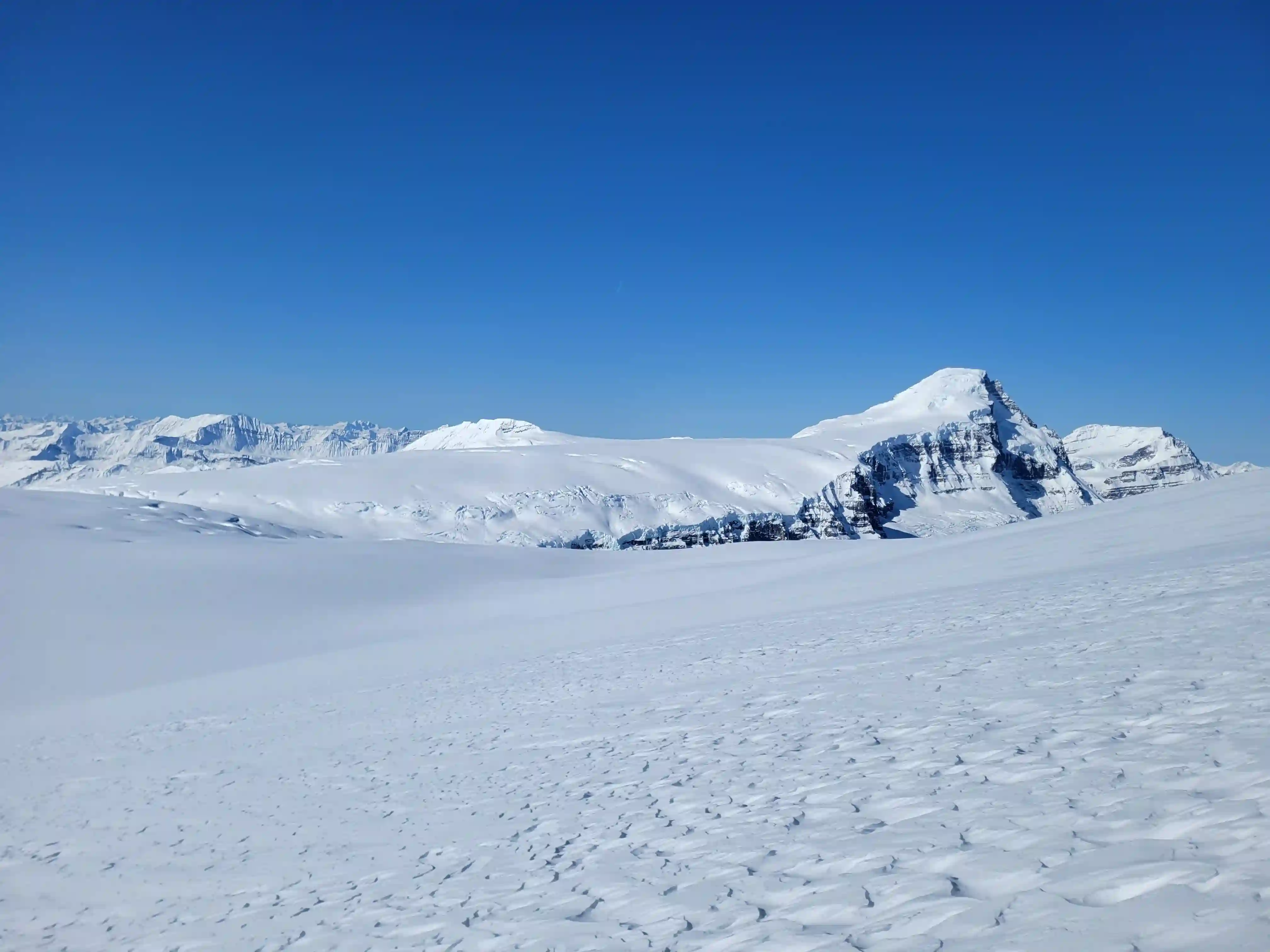
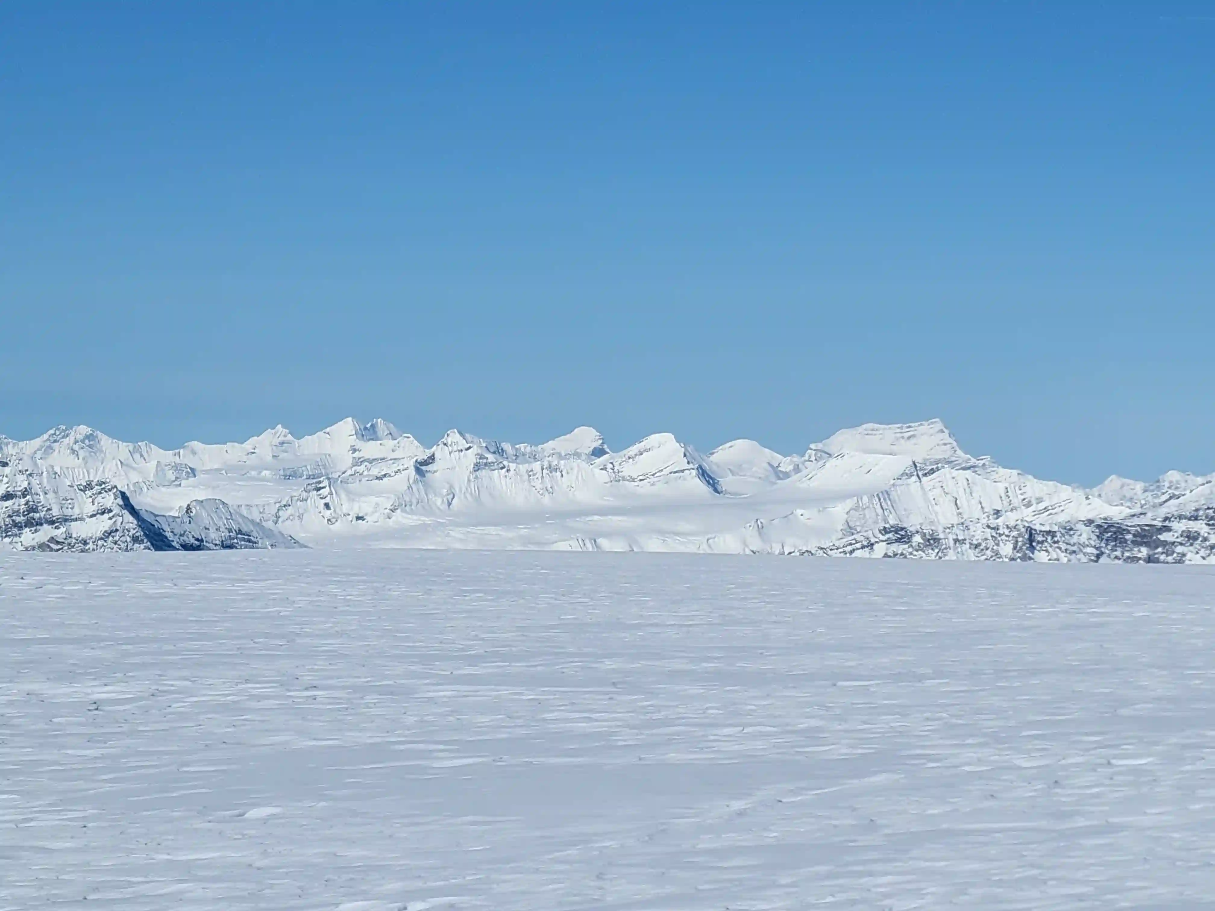
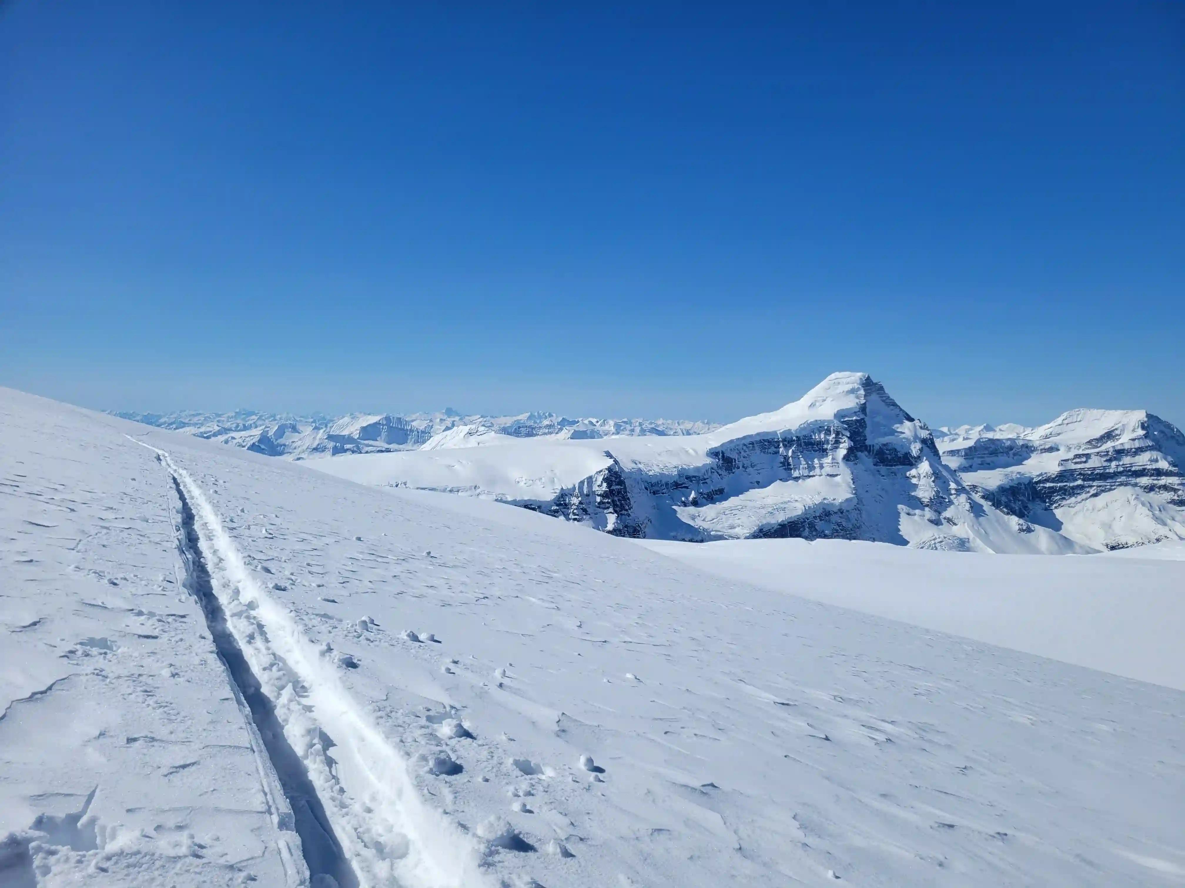
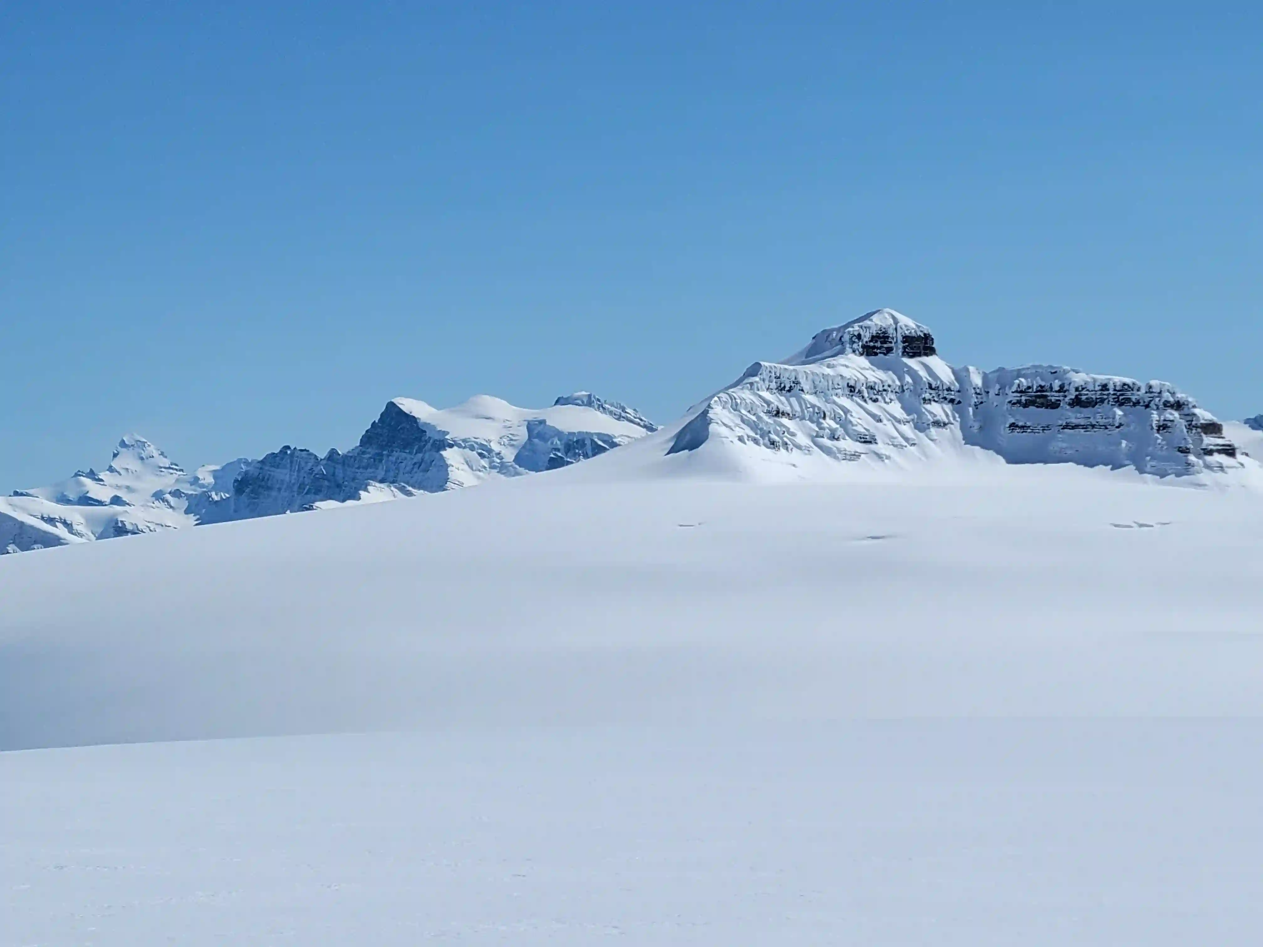
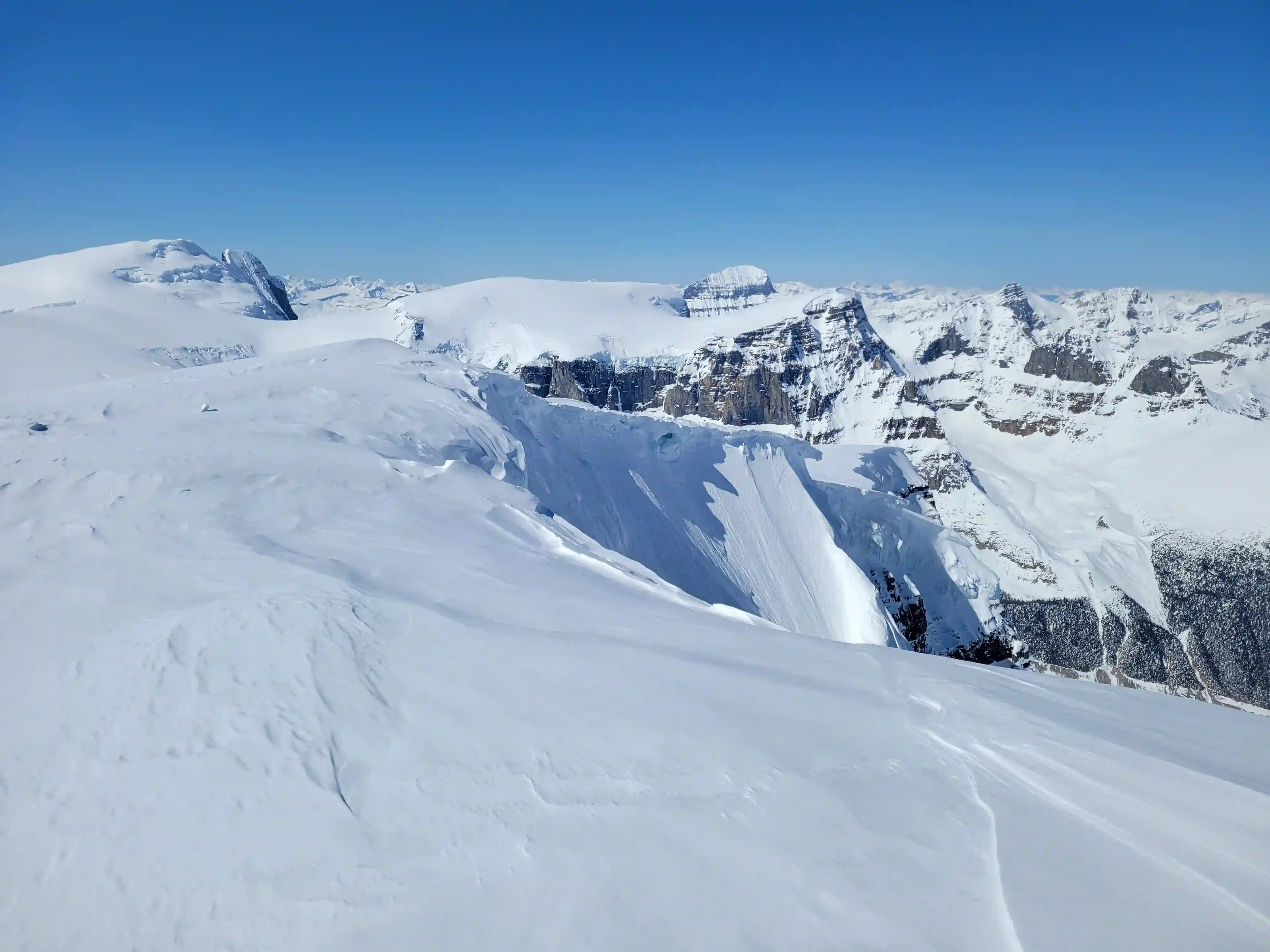
still quite high! The Stuts & North Twin visible to the left
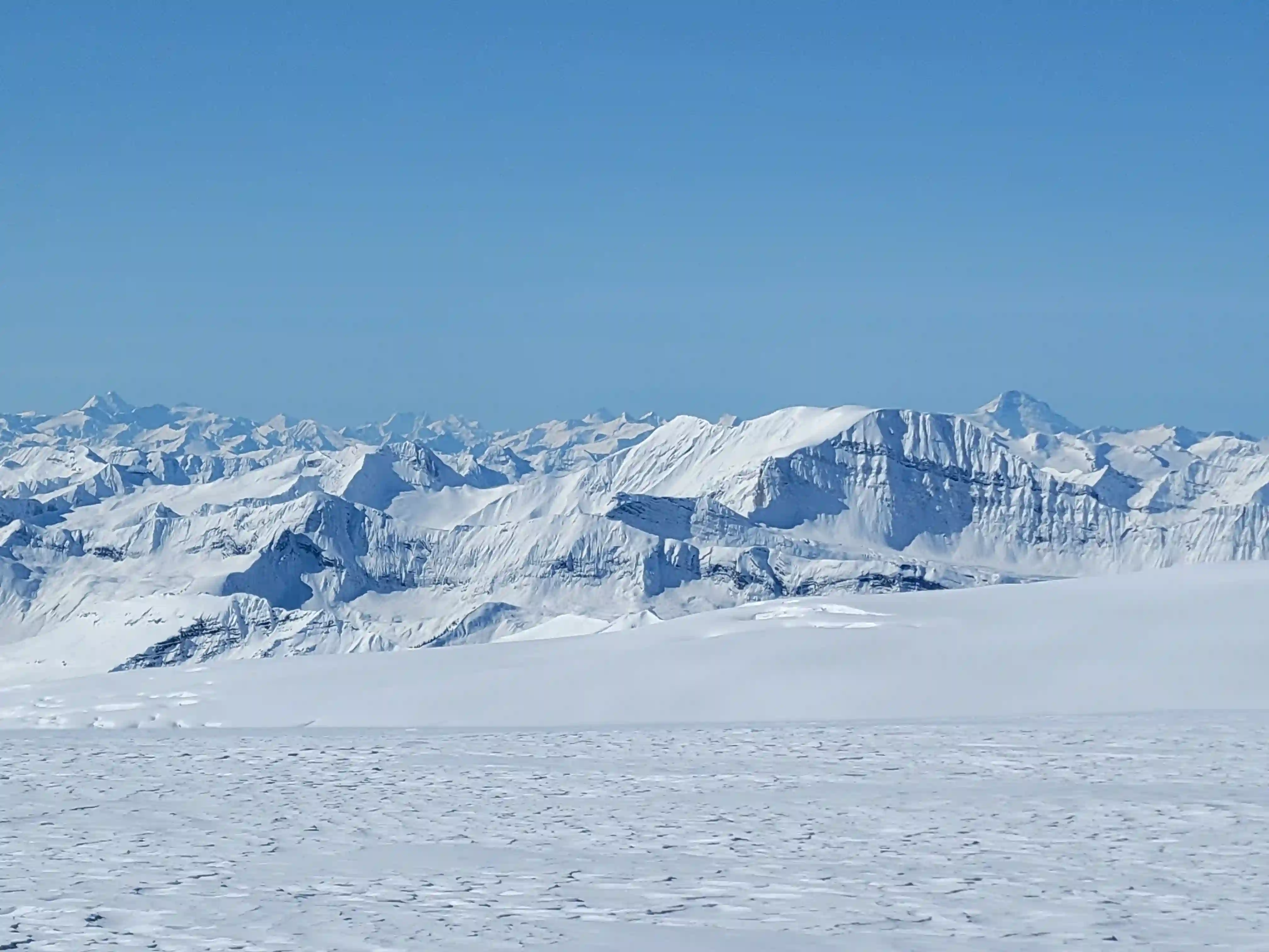
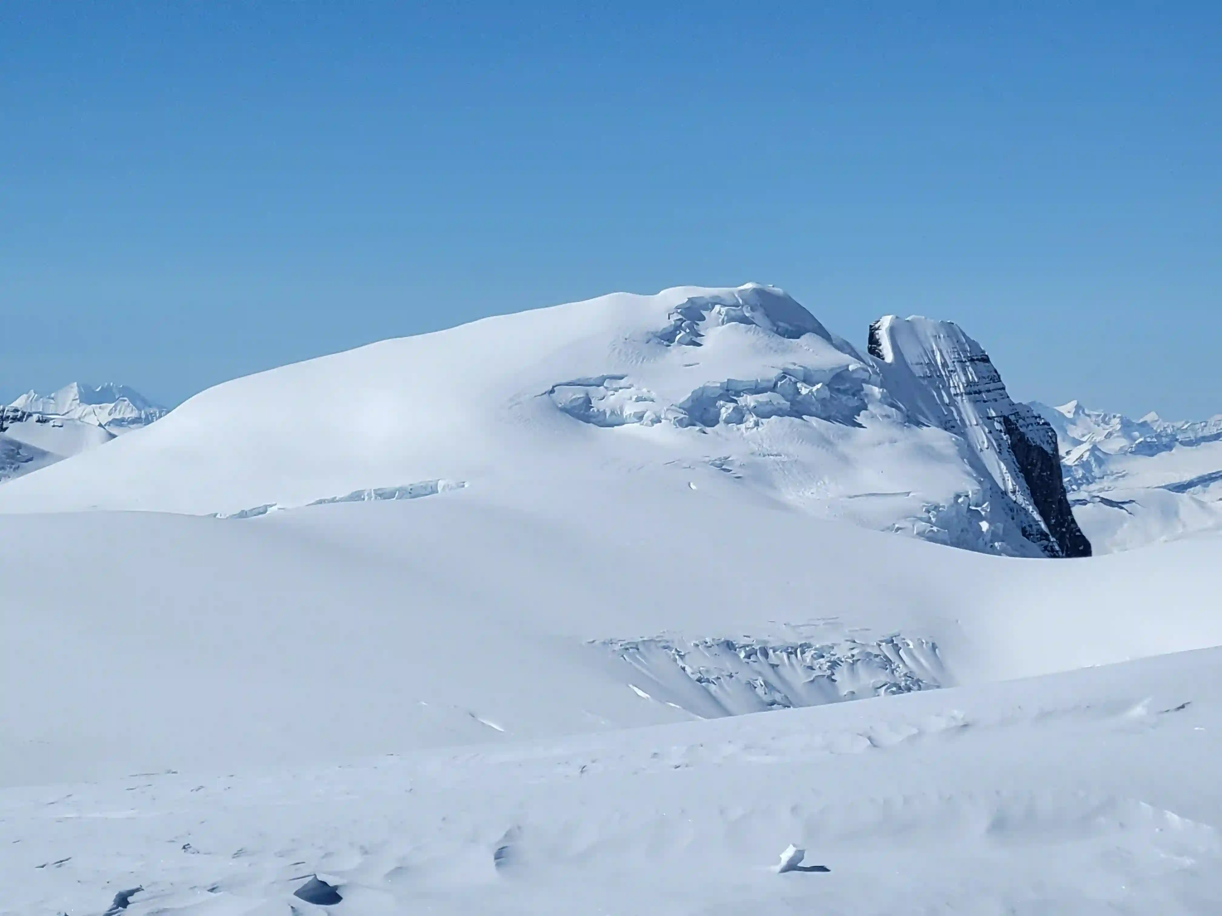
visible in the background, #19!
Into trips like this?
I'll send you an email whenever I publish a new trip report.
SNOW DOME
3451m, 11322ft
but it's above 11000 feet!
THE EXIT
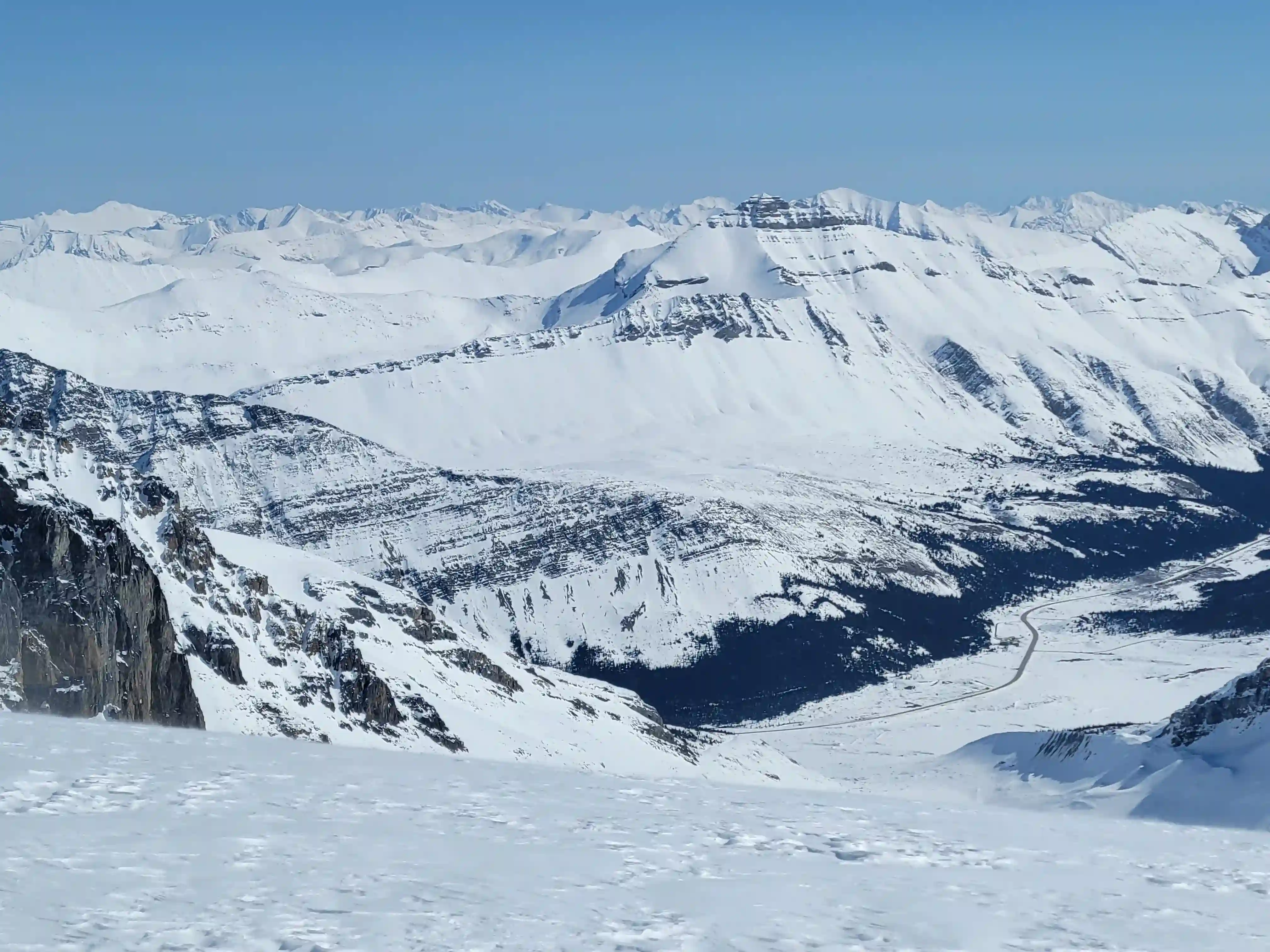
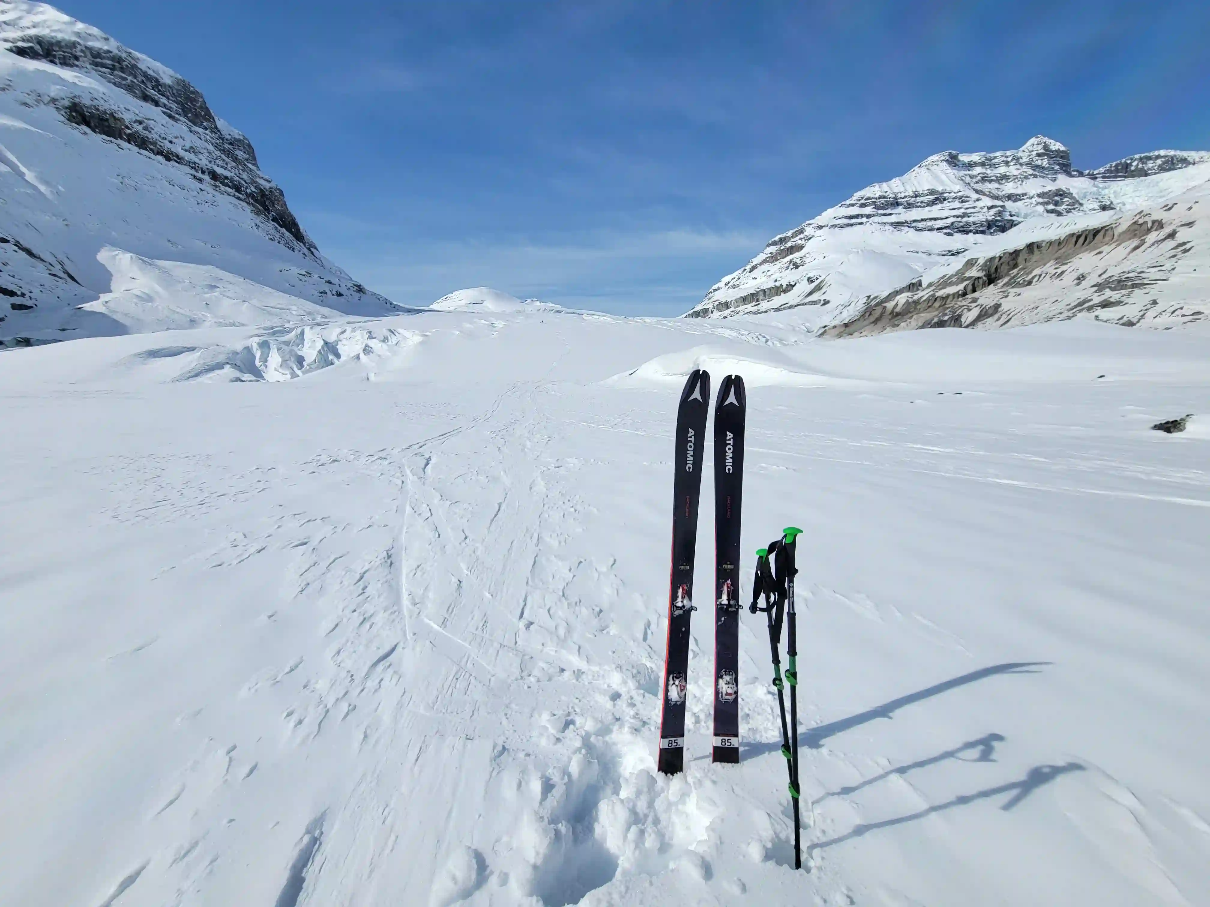
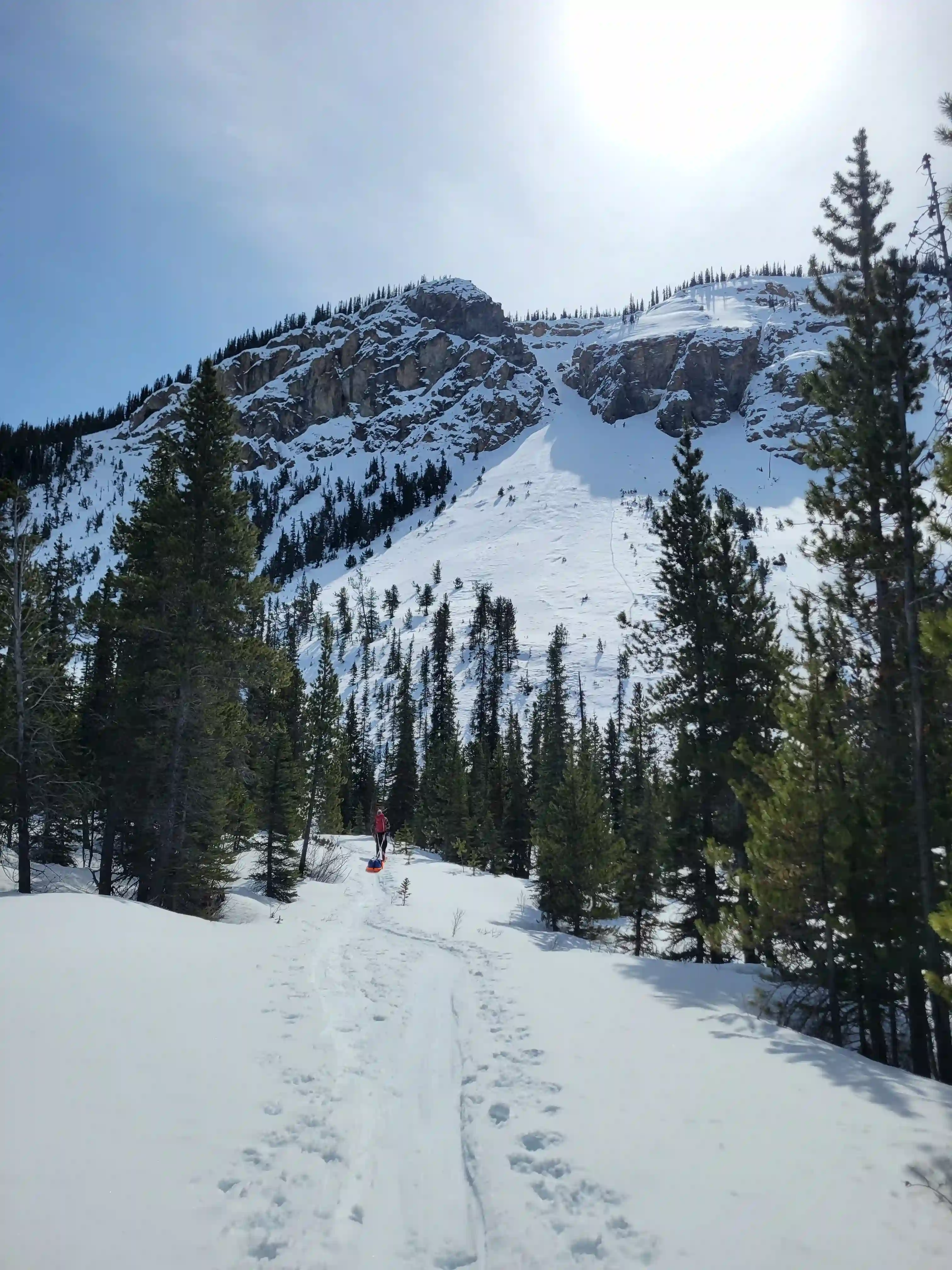
We weren't exactly sure how long our exit would take but we ended up being very pleasantly surprised with a much shorter day than expected. We had packed up camp and were headed out by 10am and reached the parking lot at Big Bend before 2pm. We did the entirety of the descent without roping up which made for an enjoyable ski and although I might not do this in later months when the snowpack bridging doesn't inspire as much confidence, I will likely never rope up for a ski descent of the Saskatchewan given how tame it is. After reaching the bottom of the glacier we had a bit of climbing to do to get back to the trailed portion and to end things off we had some sporty singletrack descent on tired legs to finish the trip.
straightline most of the descent
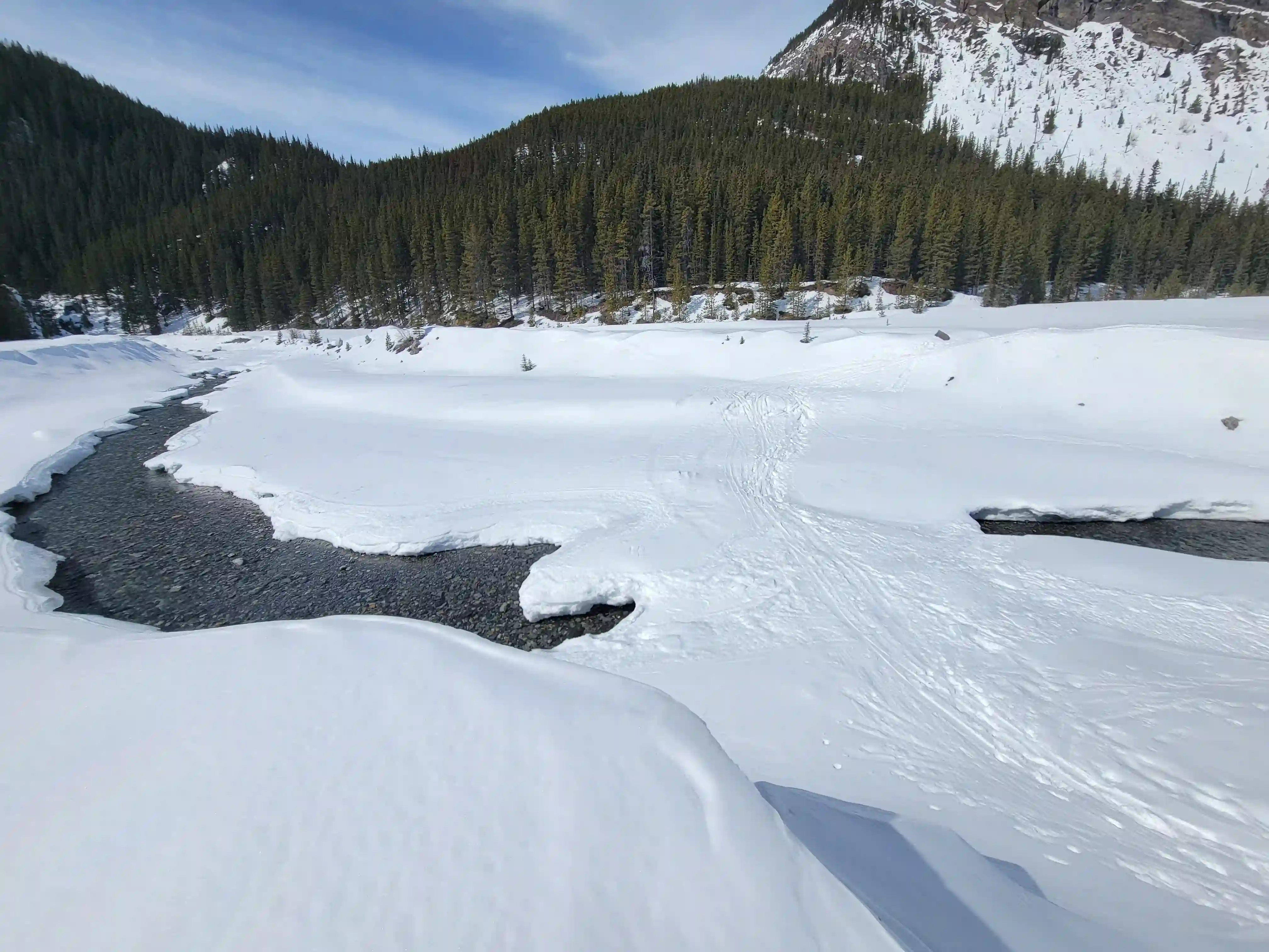
up on water here, later in the spring this could be more difficult to cross
It was definitely tough but I theroughly enjoyed this outing and it felt like a great way to get back into the 11000er bagging for 2025. It had been a while since I suffered in the mountains, the last time being The Lyells so that was likely a contributing factor but for our approach day Brent and I definitely put down a hero effort so be ready for that if you don't have a nice crust! This trip also gave us valuable winter camping experience and served as a good entry point to the multiday icefield trips to come which would prove useful a couple weeks down the road. As soon as we were back to our normal day to day routines we were scoping out the forecast for our next opportunity to return to the Columbia and send big but when a single day with solid weather showed up I couldn't resist sneaking in another 11000er trip.
Follow the full progression
I'm working through all 58 11000ers of the Canadian Rockies and beyond. You'll get notified when the latest climbs go live.
Other related trip reports:
Mount Victoria North |
The Twins, Stutfields, & Cromwell |
Mount Hector ||
The Lyells |
Hungabee Mountain
11000ers of the Canadian Rockies
© Haldan Borglum | Peak by Peak. All rights reserved.