The Lyells
August 29-September 1 2024
Located at the center of all the mountains on the 11000ers of the Canadian Rockies list, The Lyells make up for a sizable chunk of these 58 peaks. A successful trip to The Lyells will have you returning with over 8% of the list checked off but it wont come easily! Lyell 4 is considered by many to be one of the tougher objectives on the list given its steep, exposed, and technical north ridge route, and just to get close to these peaks requires at least a full day of approach given their remote location. The 4 other Lyell peaks aren't known for being all that difficult in comparison, but the bergshrund on Lyell 3 can prove to be quite challenging and given that they all reach above 3400m weather can be unpredictable and plays a large factor in a successful summit bid.

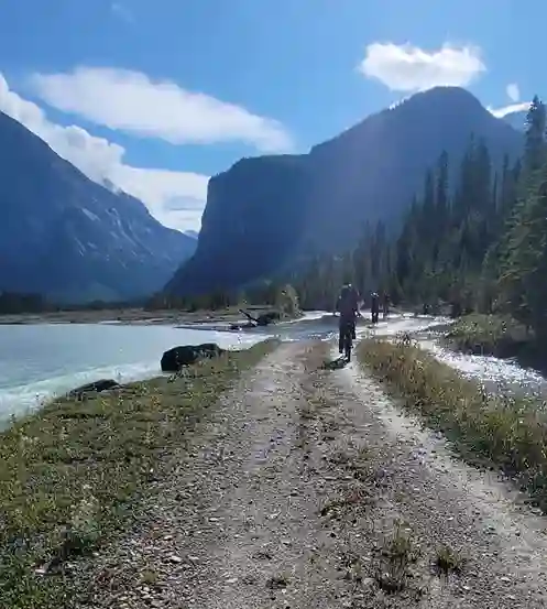
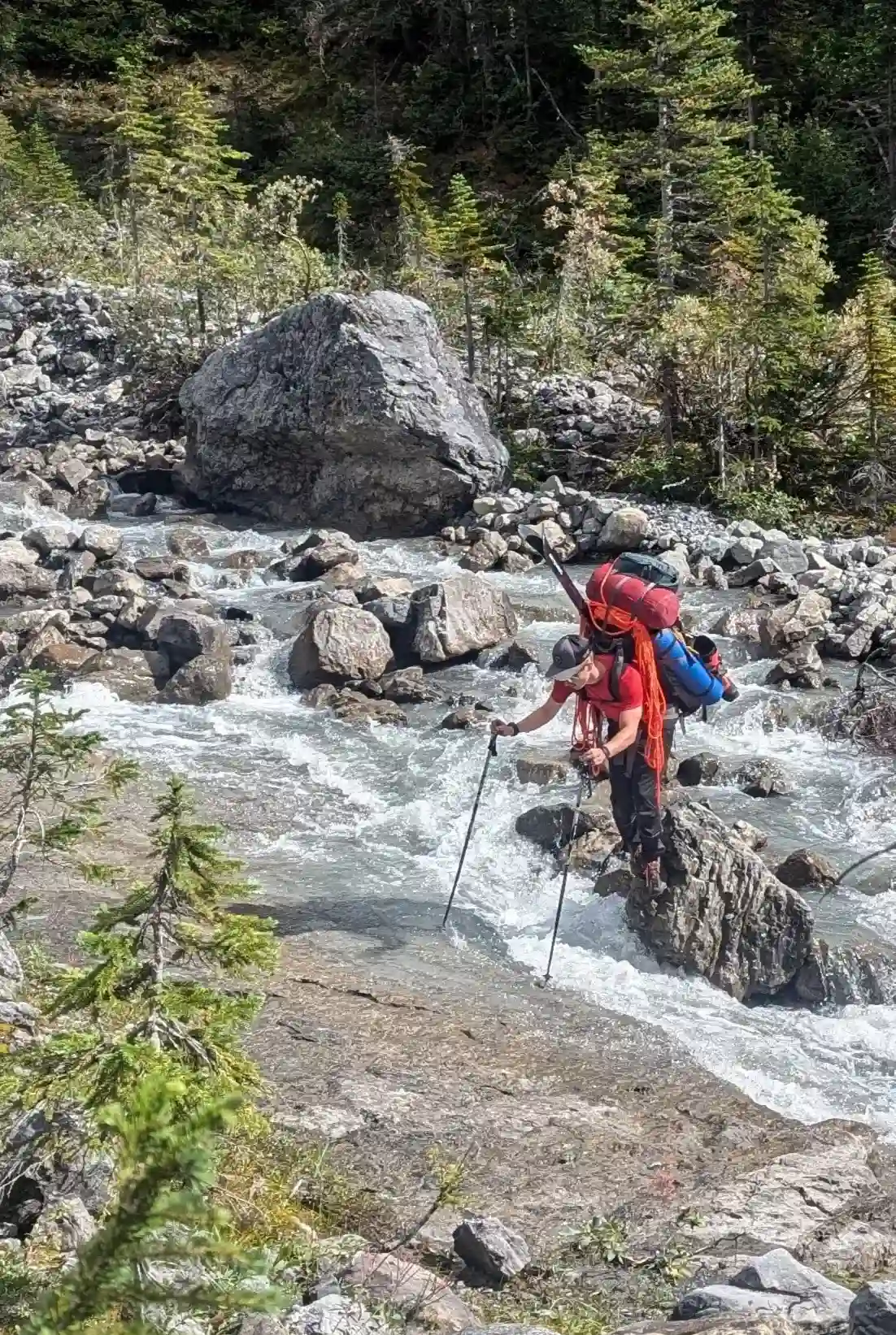
The most common approach route for The Lyells starts up the Valenciennes River Forest Service Road and ascends slopes to the SW of the Cerberus Falls before gaining the Lyell Icefield and reaching the hut. That being said the road has a history of washouts and typically has a large portion that needs to be biked so it's anything but easy. The alternative is the approach route that starts from near the Saskatchewan Crossing and heads up trails that lead to Glacier Lake, taking the same route as the standard approach for Forbes before branching north and heading up towards Arctomys Peak. This is also not the most straight forward because you end up dealing with more bushwhacking and unpleasant terrain as well as reaching the glacier far from the hut so those using this approach would typically pack their own camp gear.
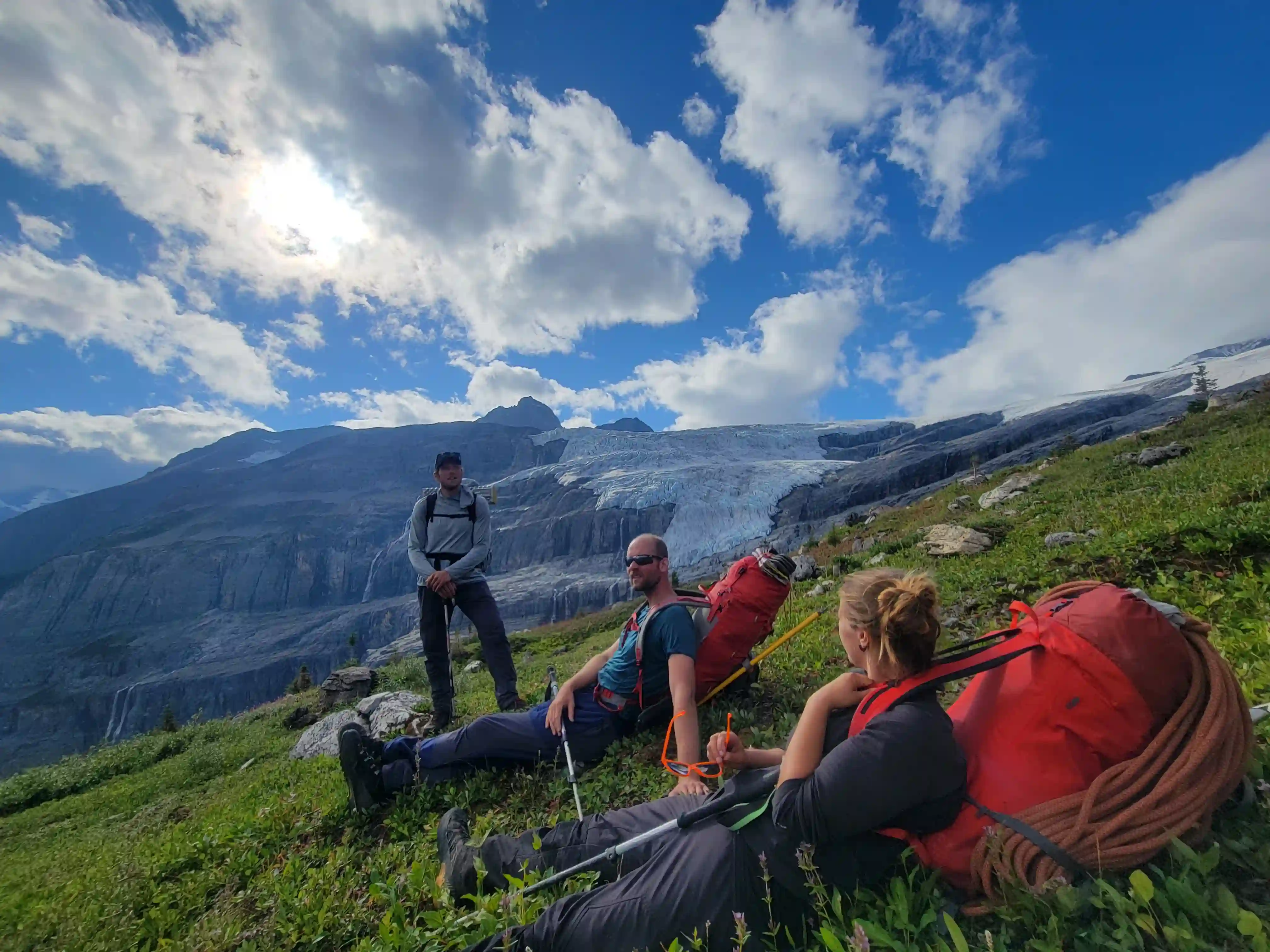
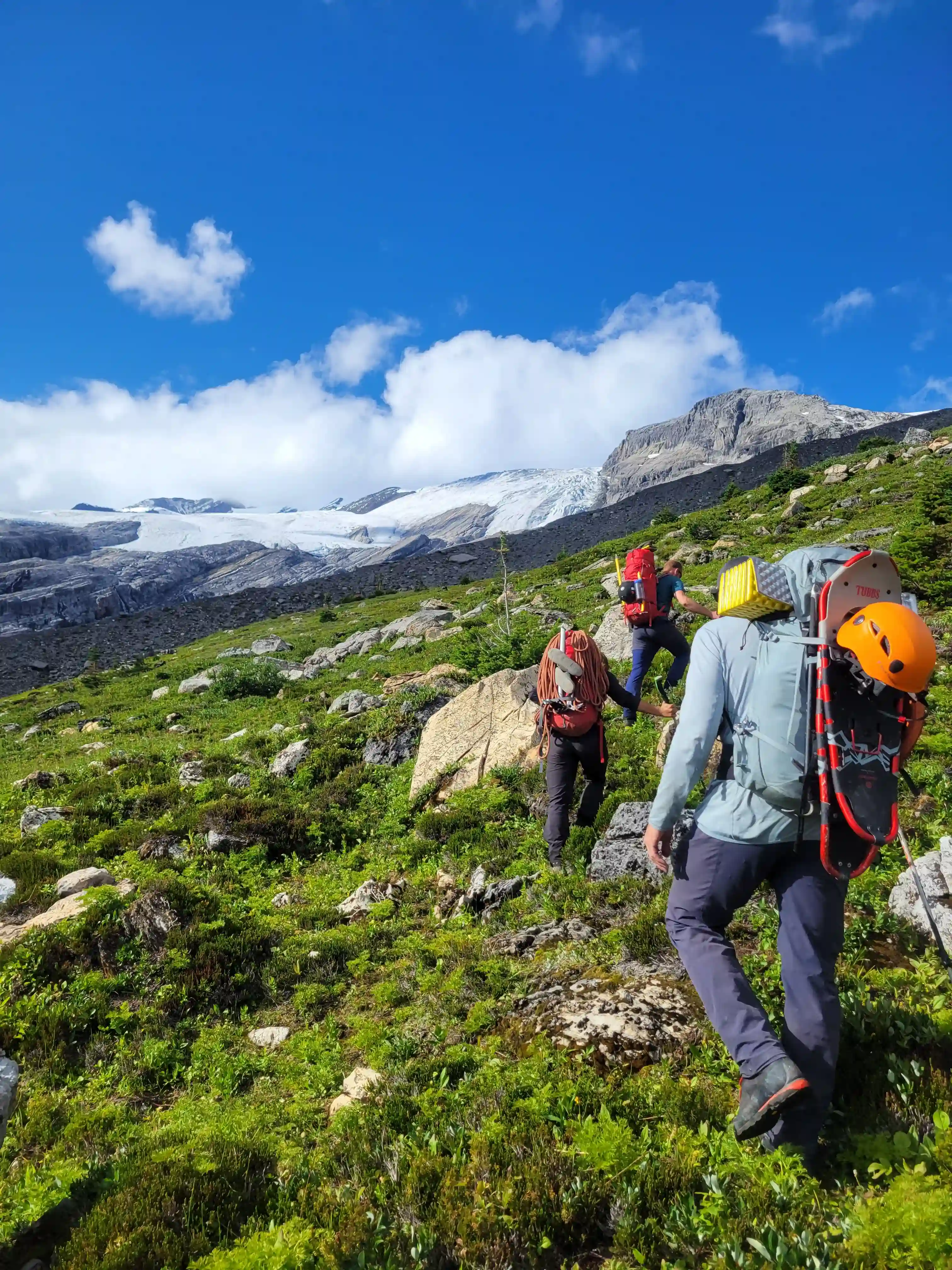
Darren, Josiane, Brent, and I had all been in contact after a number of successful 11000er trips together and when we scoped out a good window for the end of August a few days out we decided to go big with a trip for The Lyells. Having already done the Glacier Lake "death march" approach for Mount Forbes almost 3 months prior I personally had zero interest in doing it again if we didn't have to and thankfully the whole crew was in agreement that the Valenciennes River FSR seemed like the way to go.
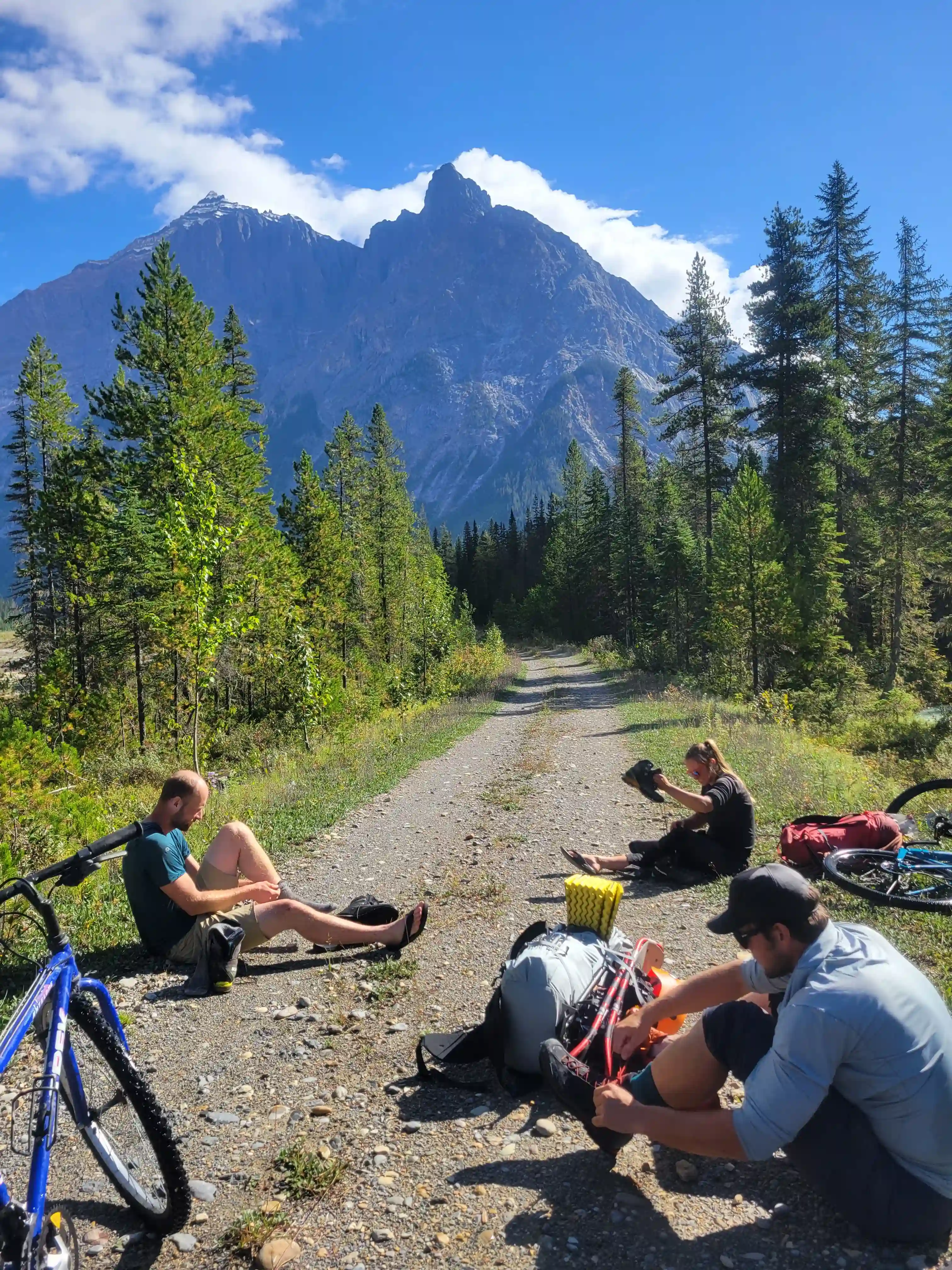
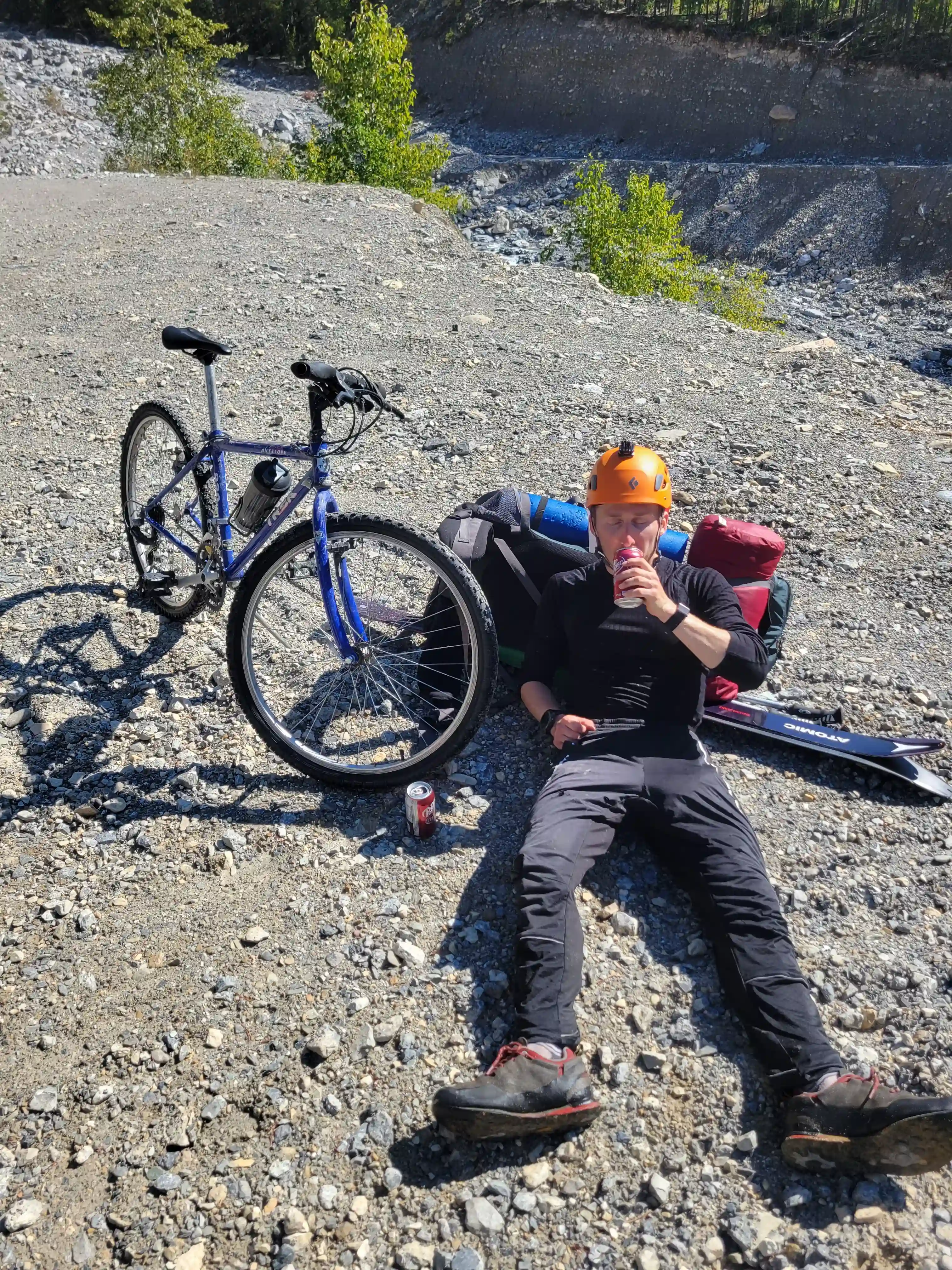
Darren and I met up in Canmore before heading to Donald to meet up with Josiane and Brent and then we drove 2 vehicles out to the end of the reasonable road of the Valenciennes River FSR after 69km on the Bush River FSR and about 6.5km on the Valenciennes. What followed was 19km of grueling biking with a heavy pack on and my legs were cooked before we even started the on foot portion but we had an approach to finish so we pressed on!
links:
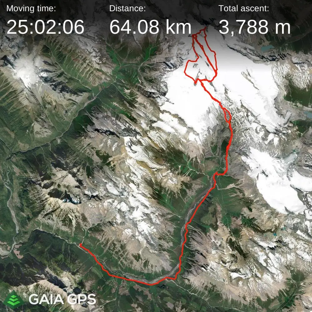
STRAVA
|
GAIA
elapsed time: 30hrs
DIFFICULTY: AD+/D-, steep snow / ice climbing, 5th class up to 5.4 / mixed climbing, extensive glacier travel, multiday, remote
Use the following links to jump to:
Follow the journey
I'll send you an email when a new trip report drops.
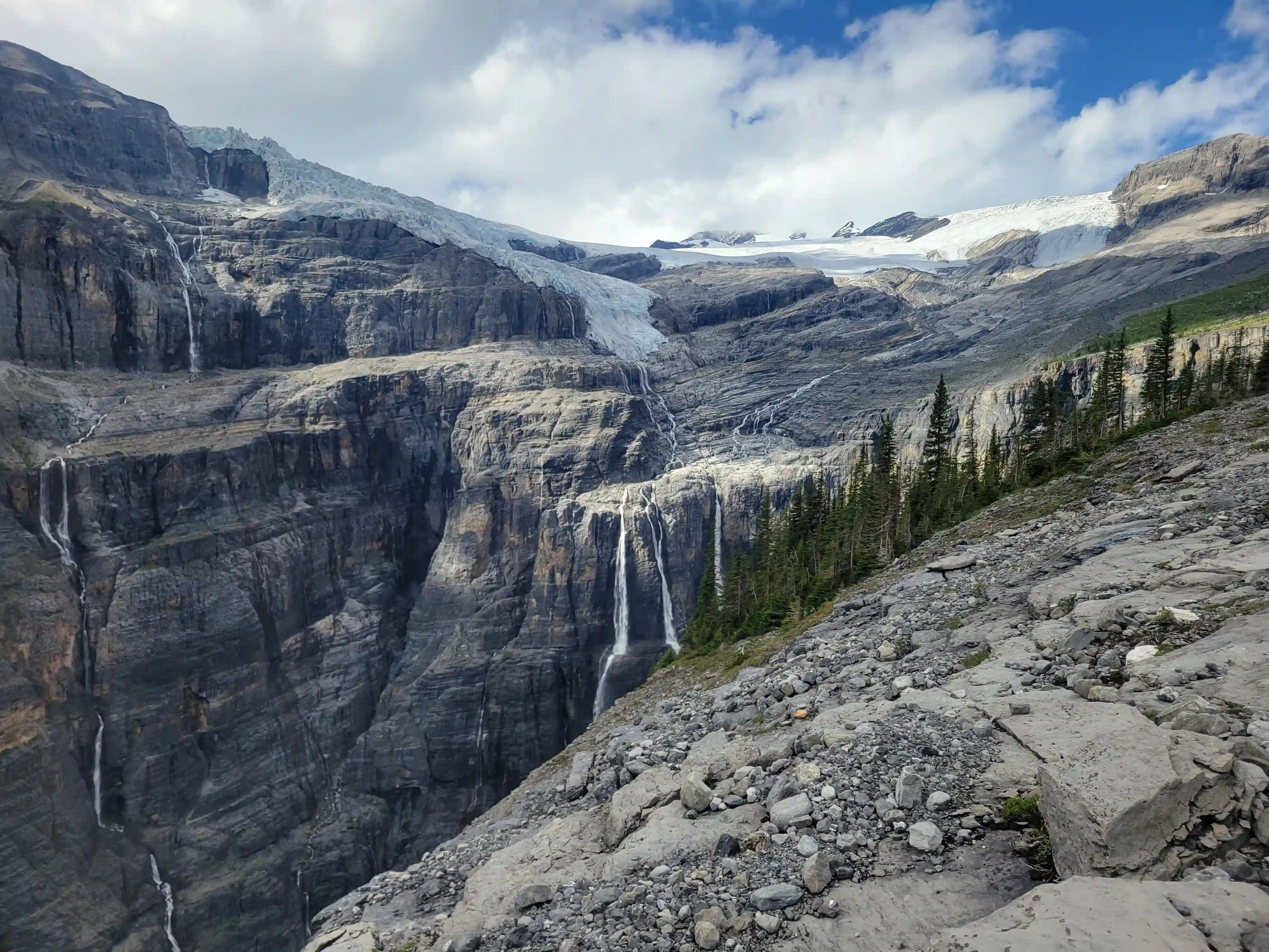
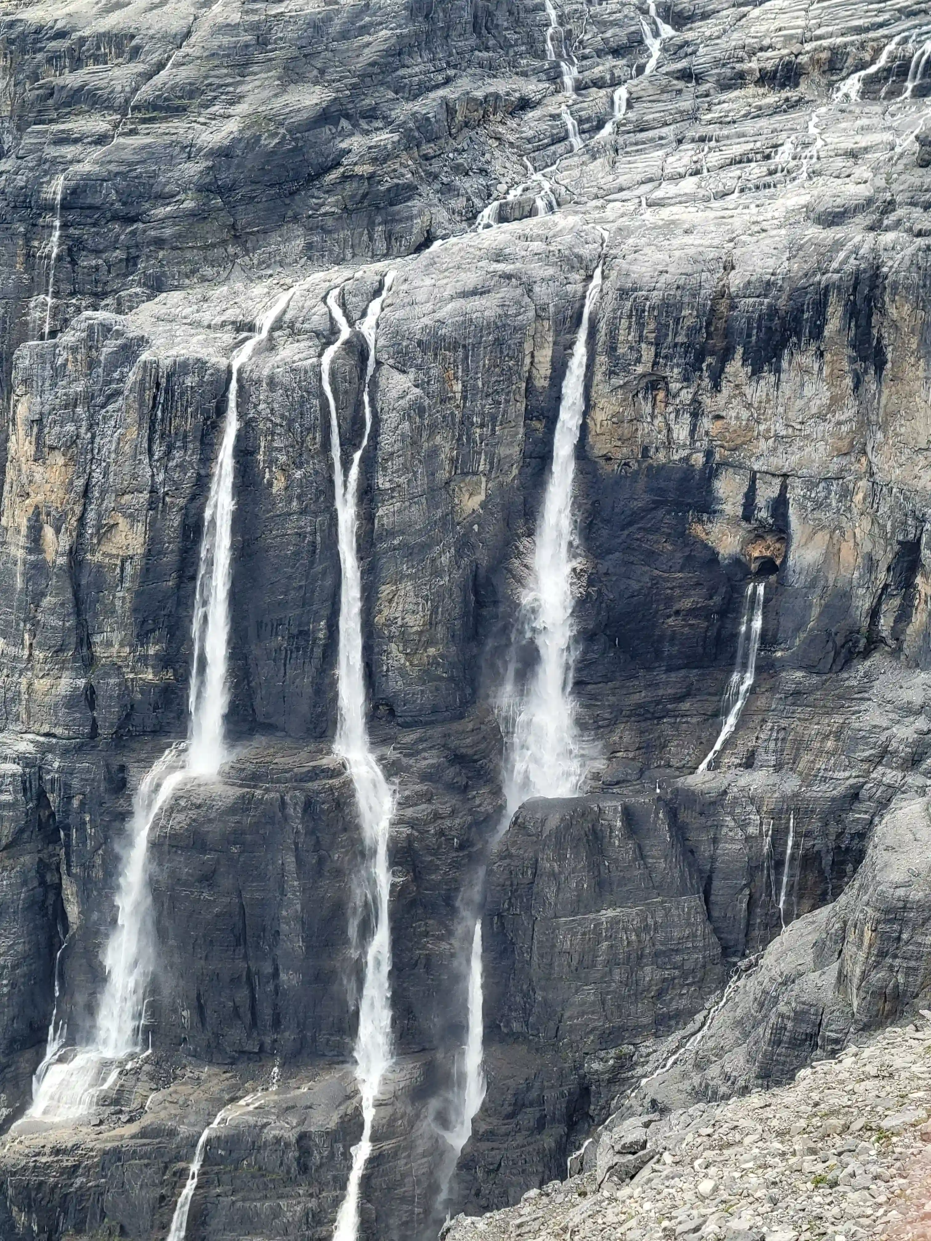
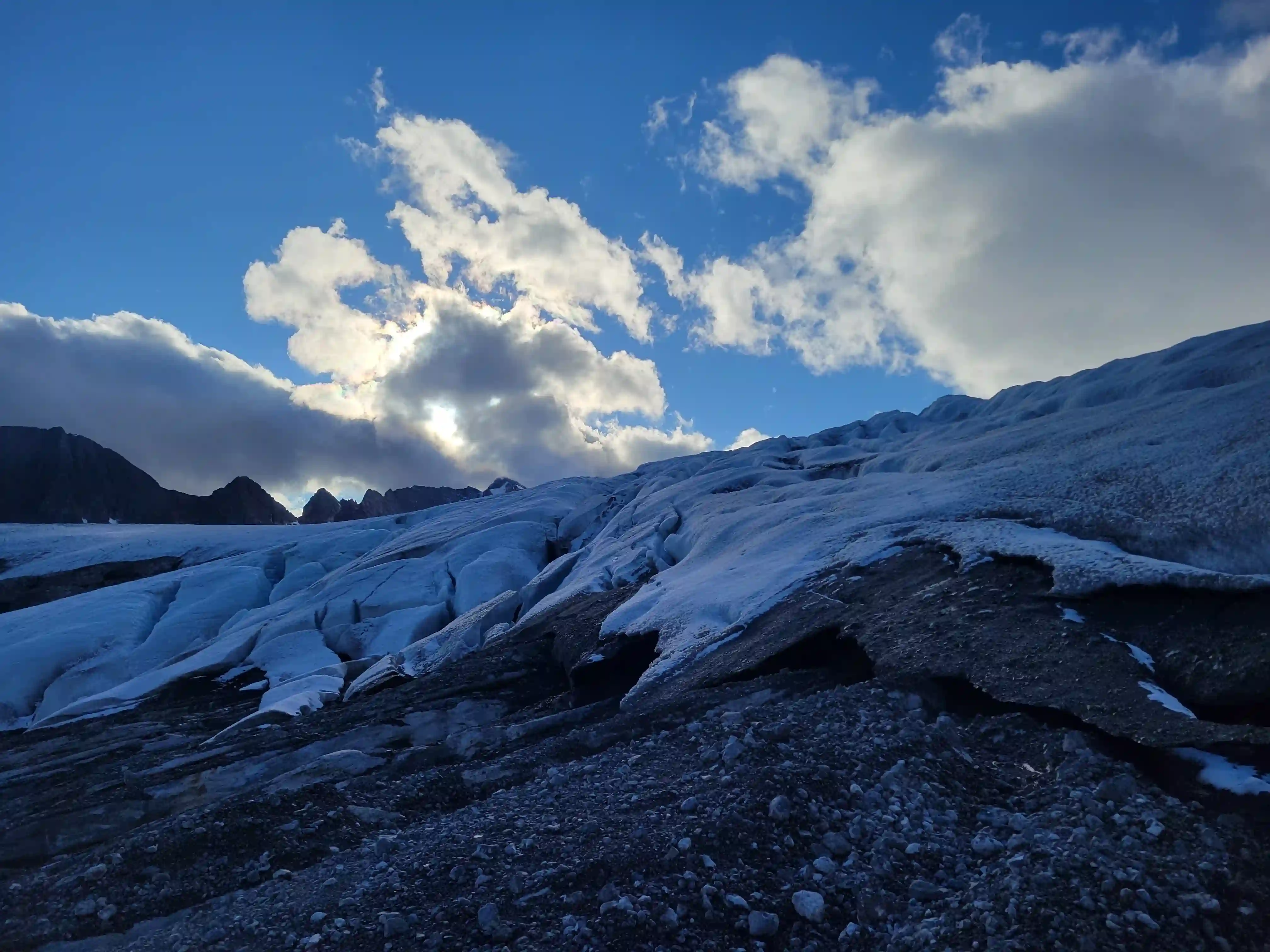
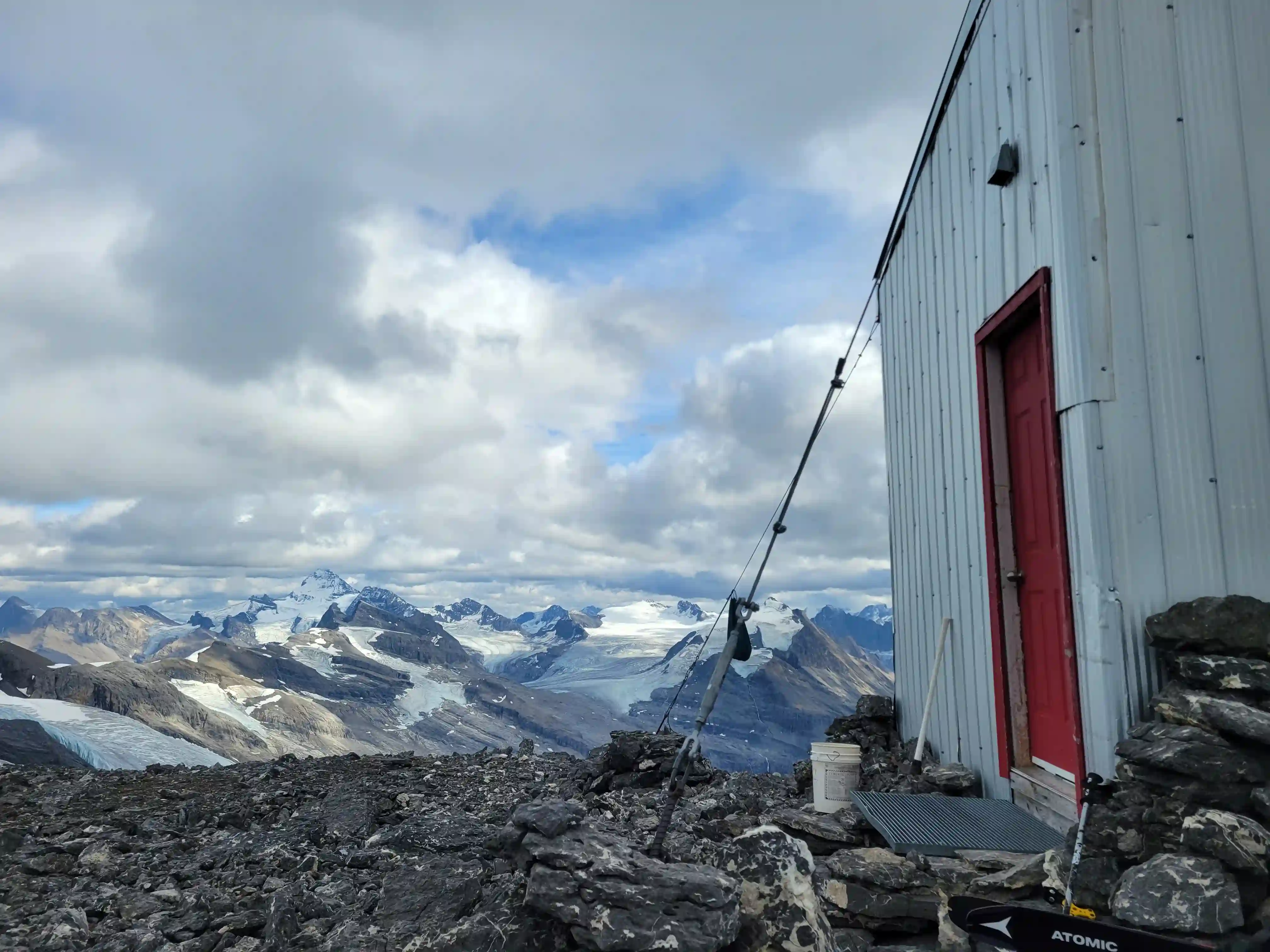
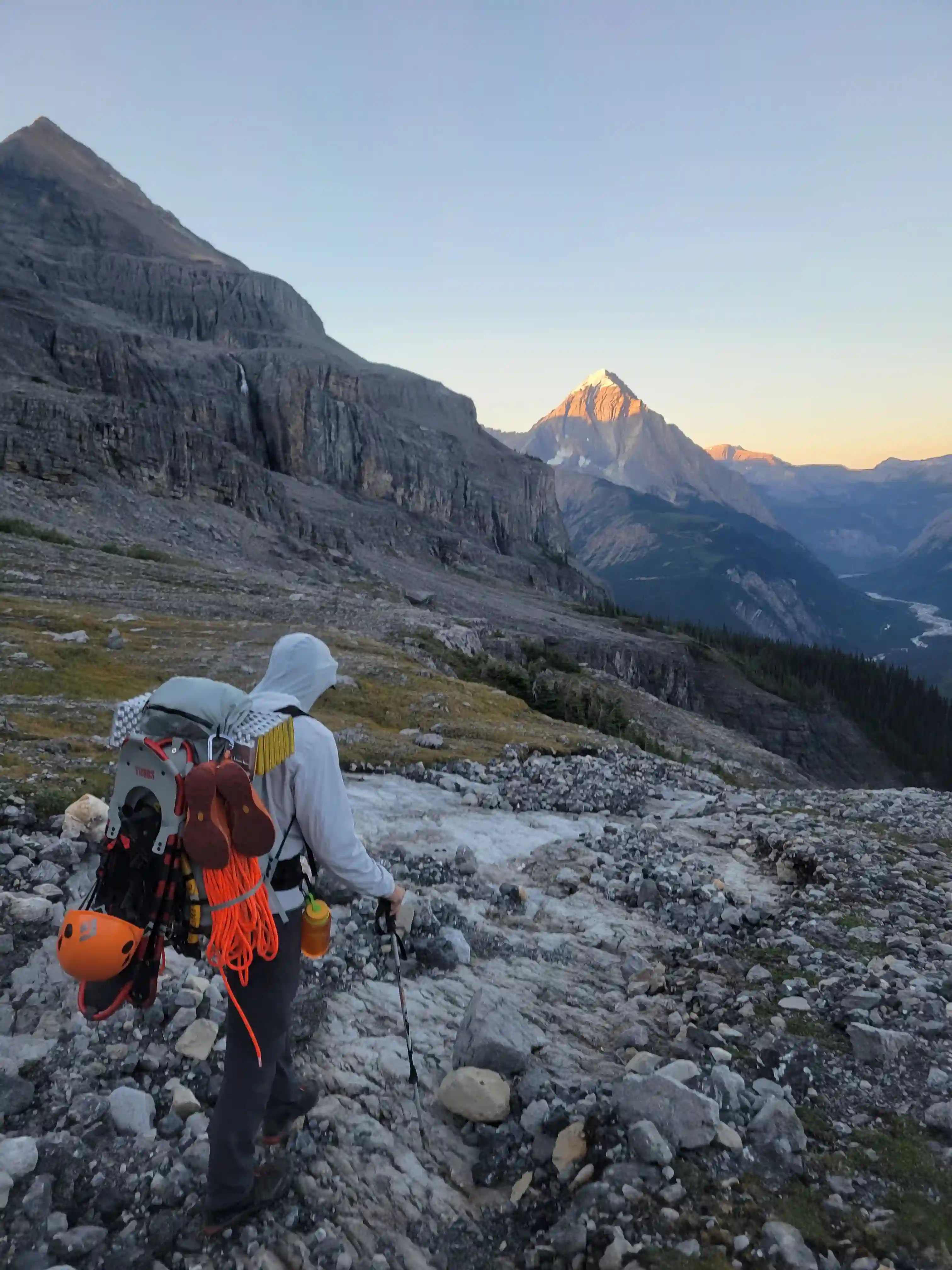
THE APPROACH
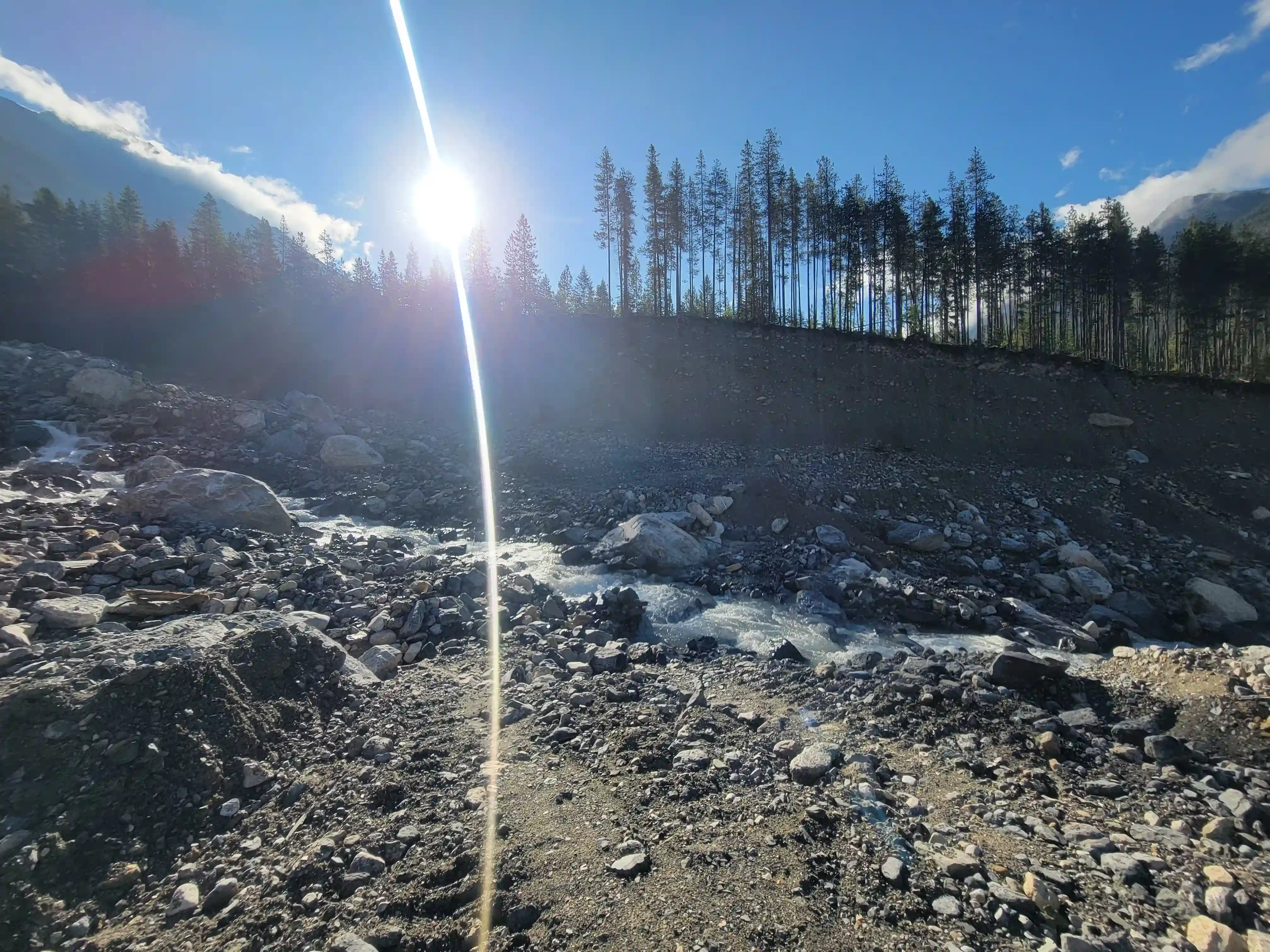
forest service road
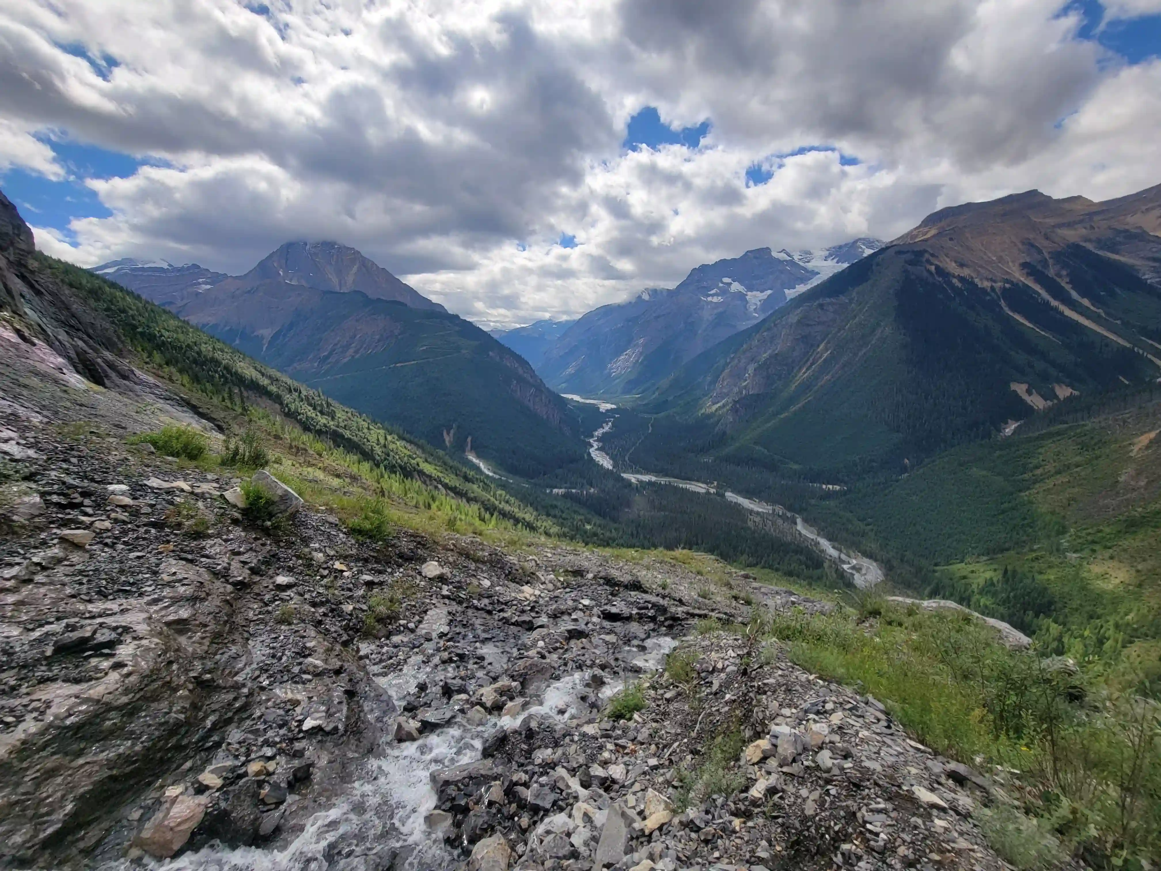
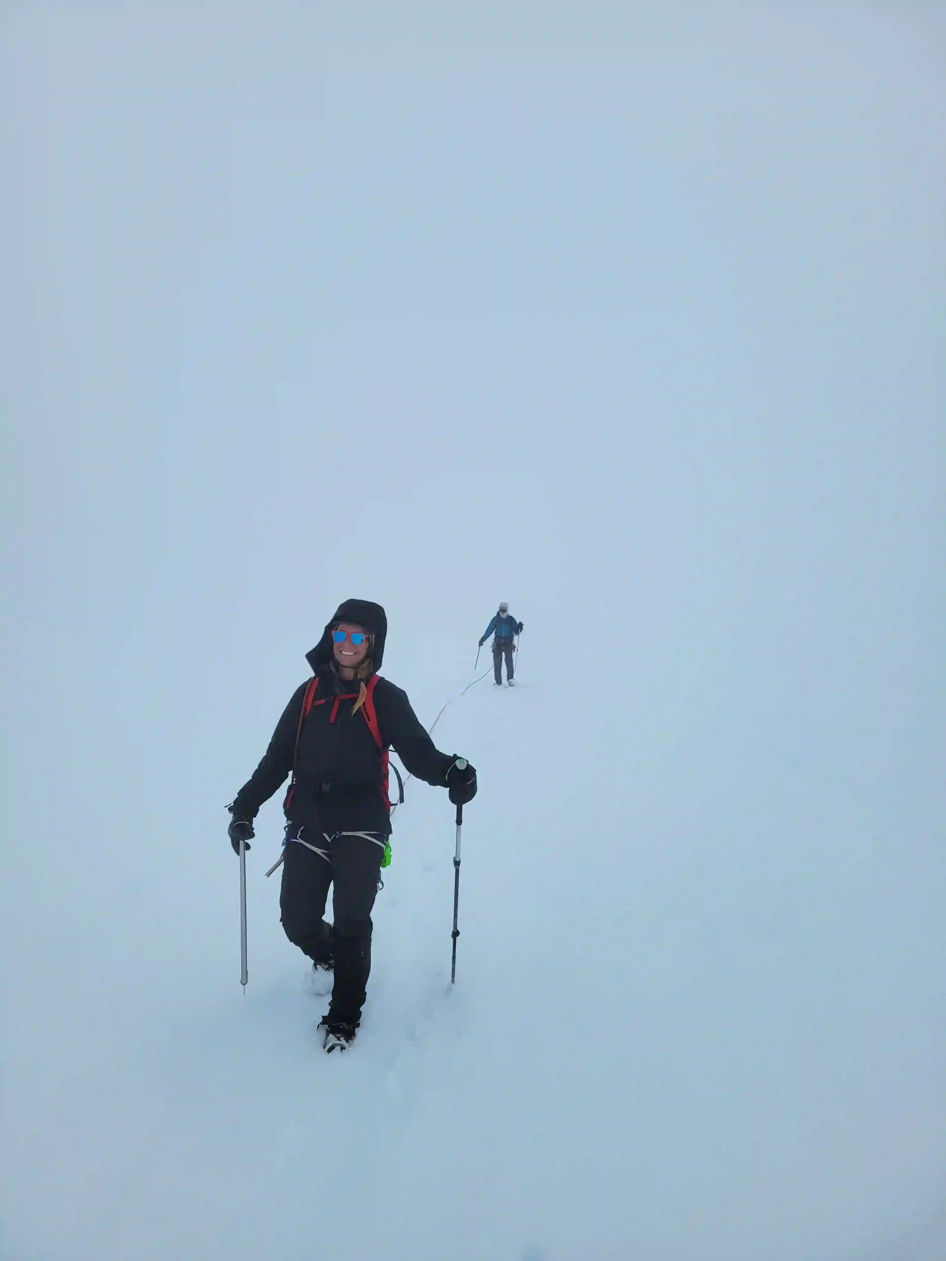
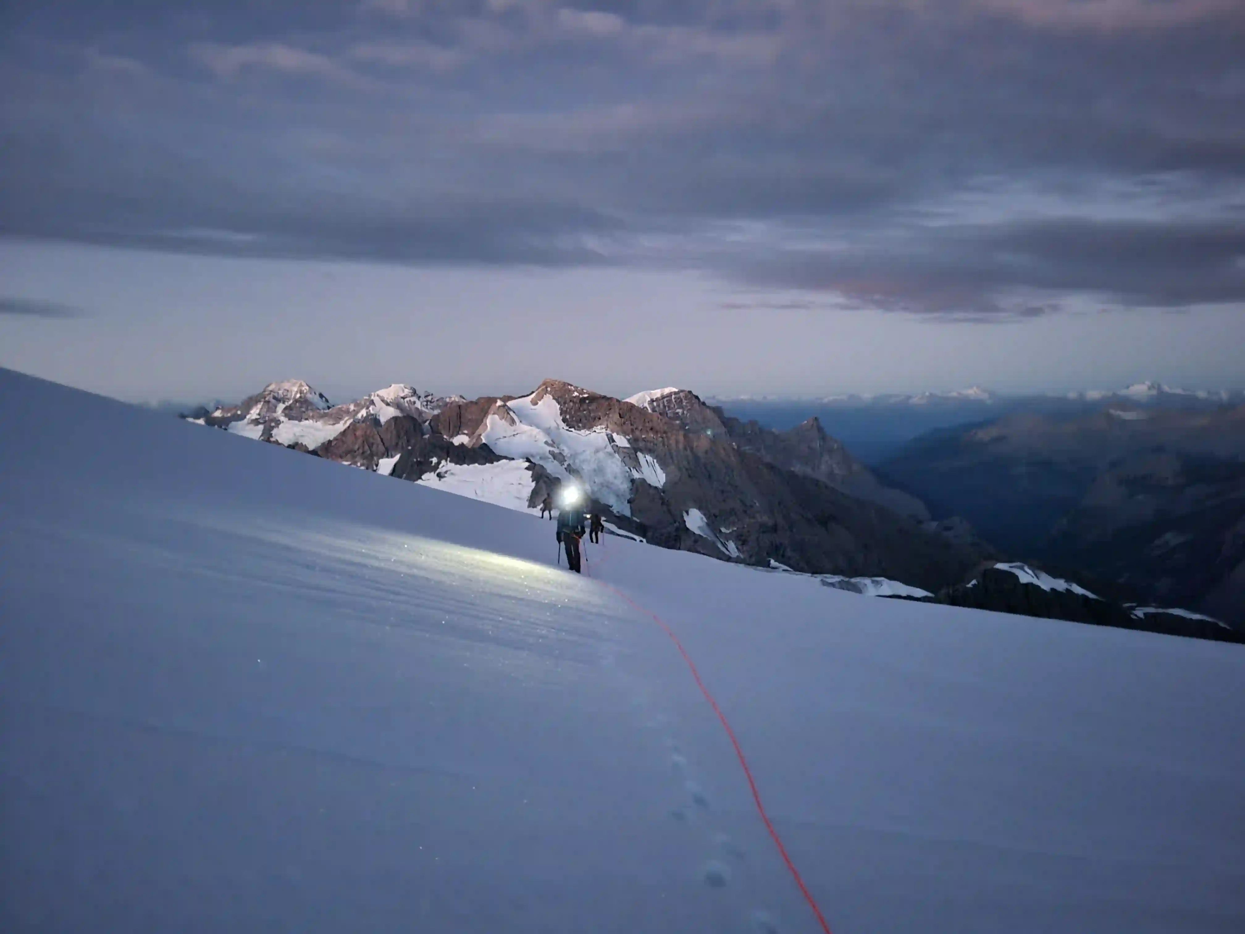
hurting after the bike in so didn't take many photos for a while
with up here!
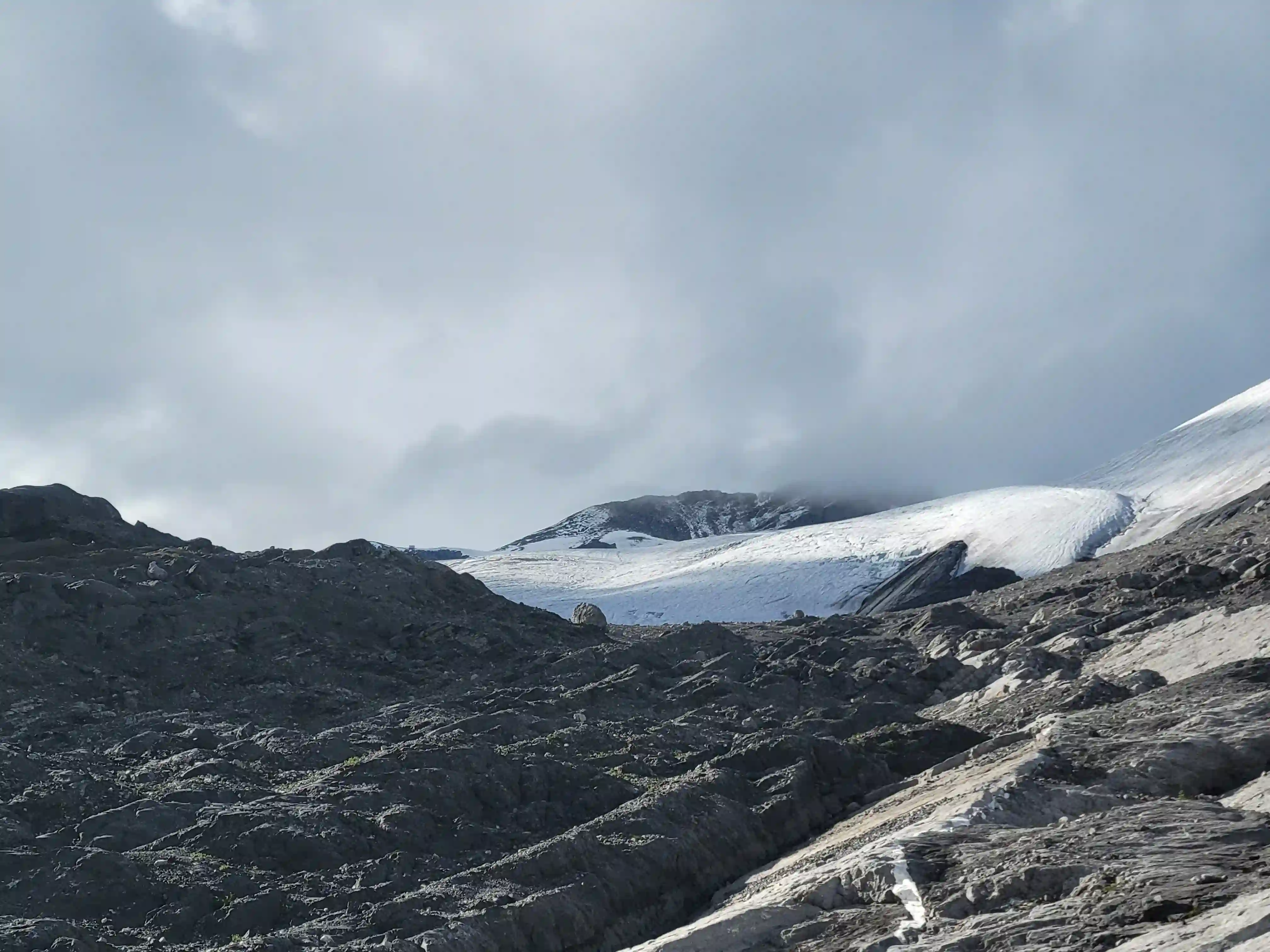
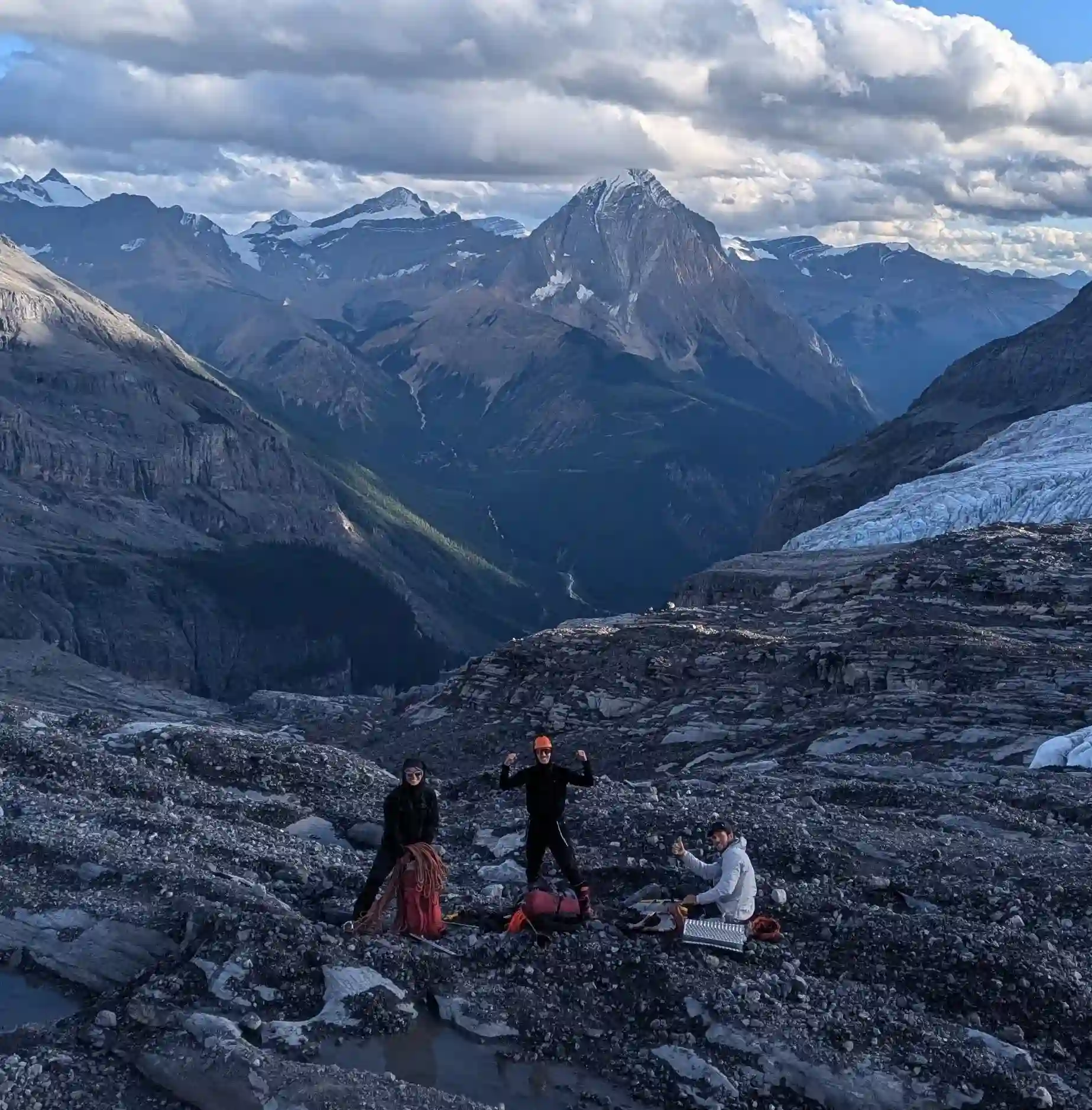
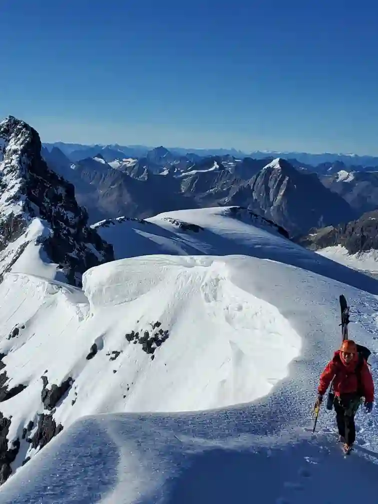
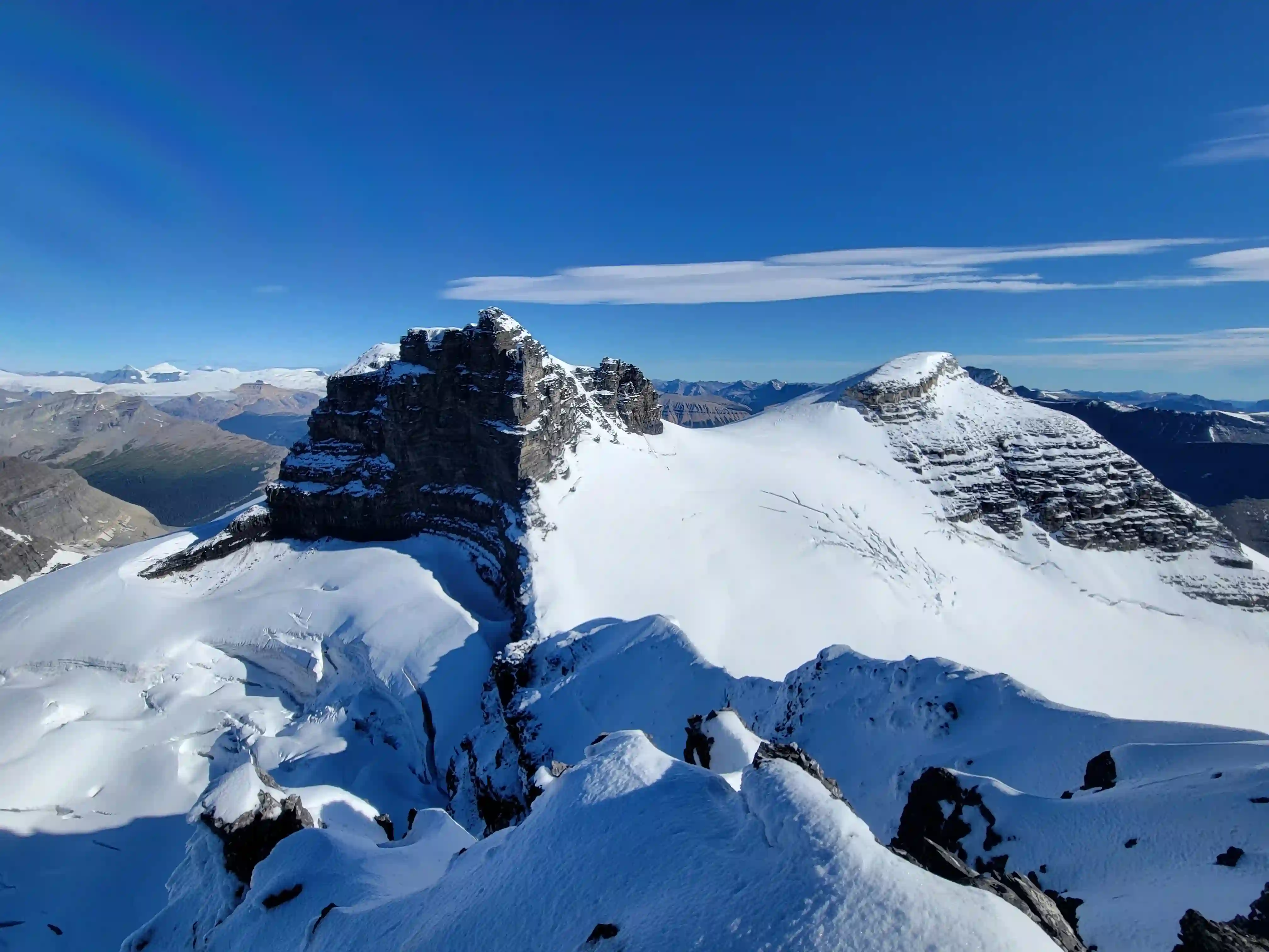
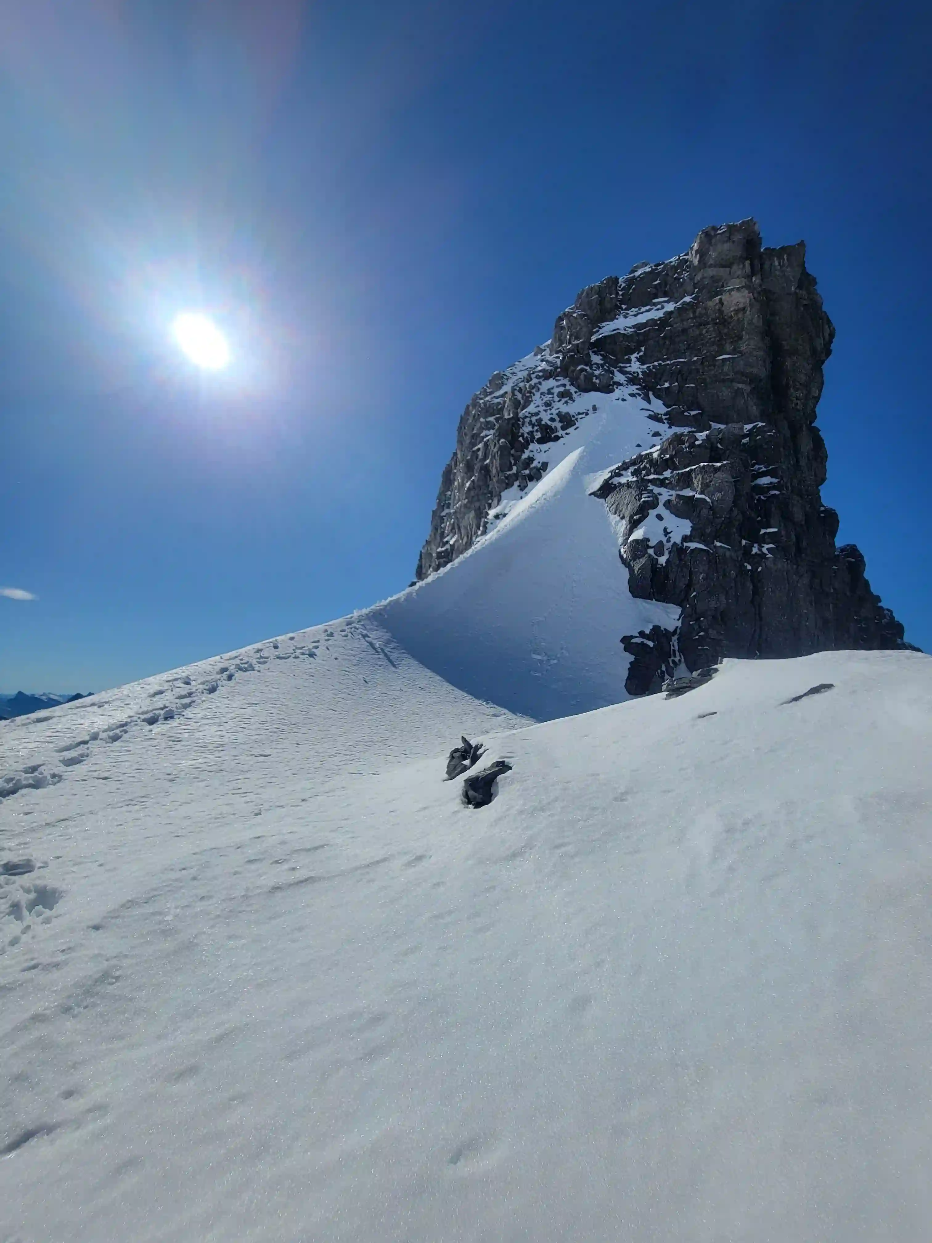
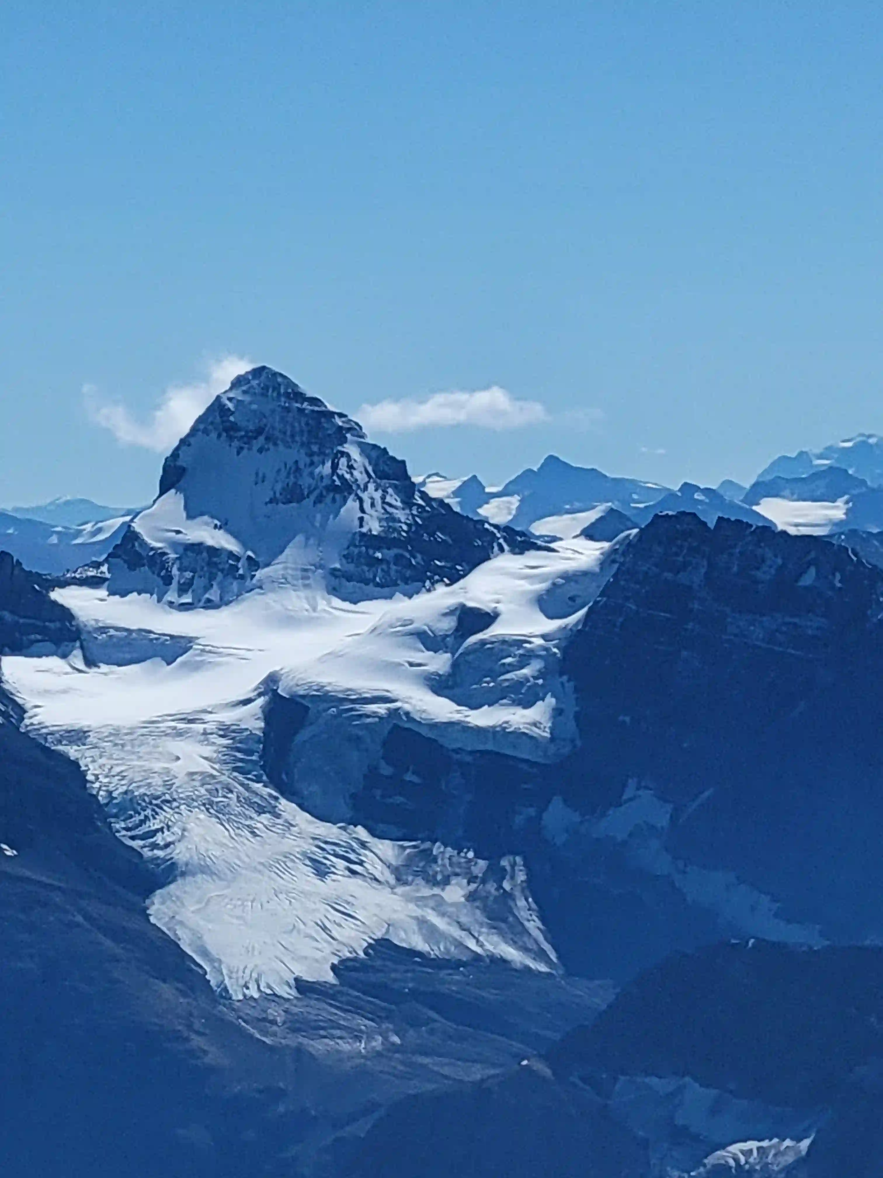
RUDOLPH PEAK (LYELL 1)
3507m, 11506ft
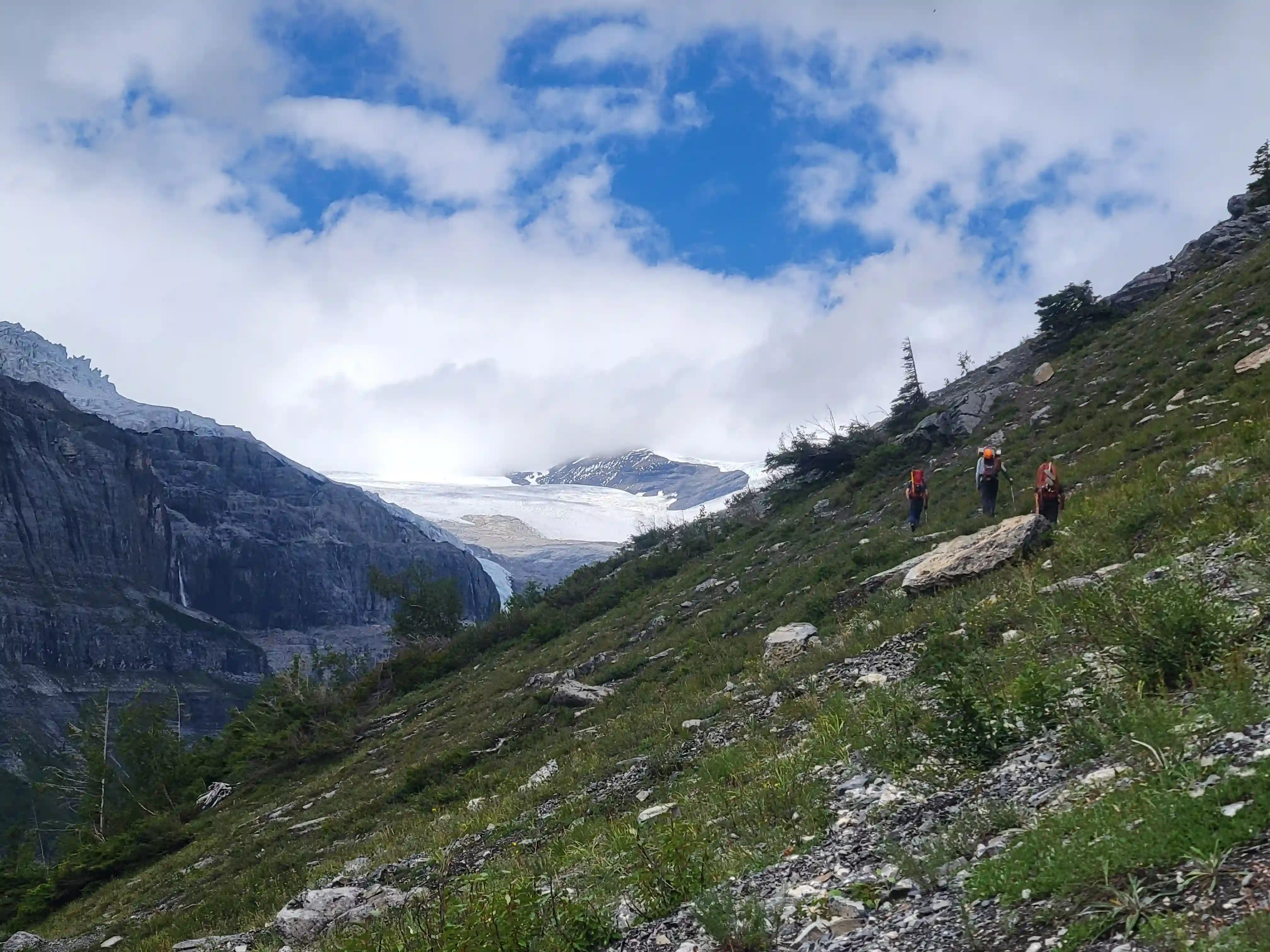
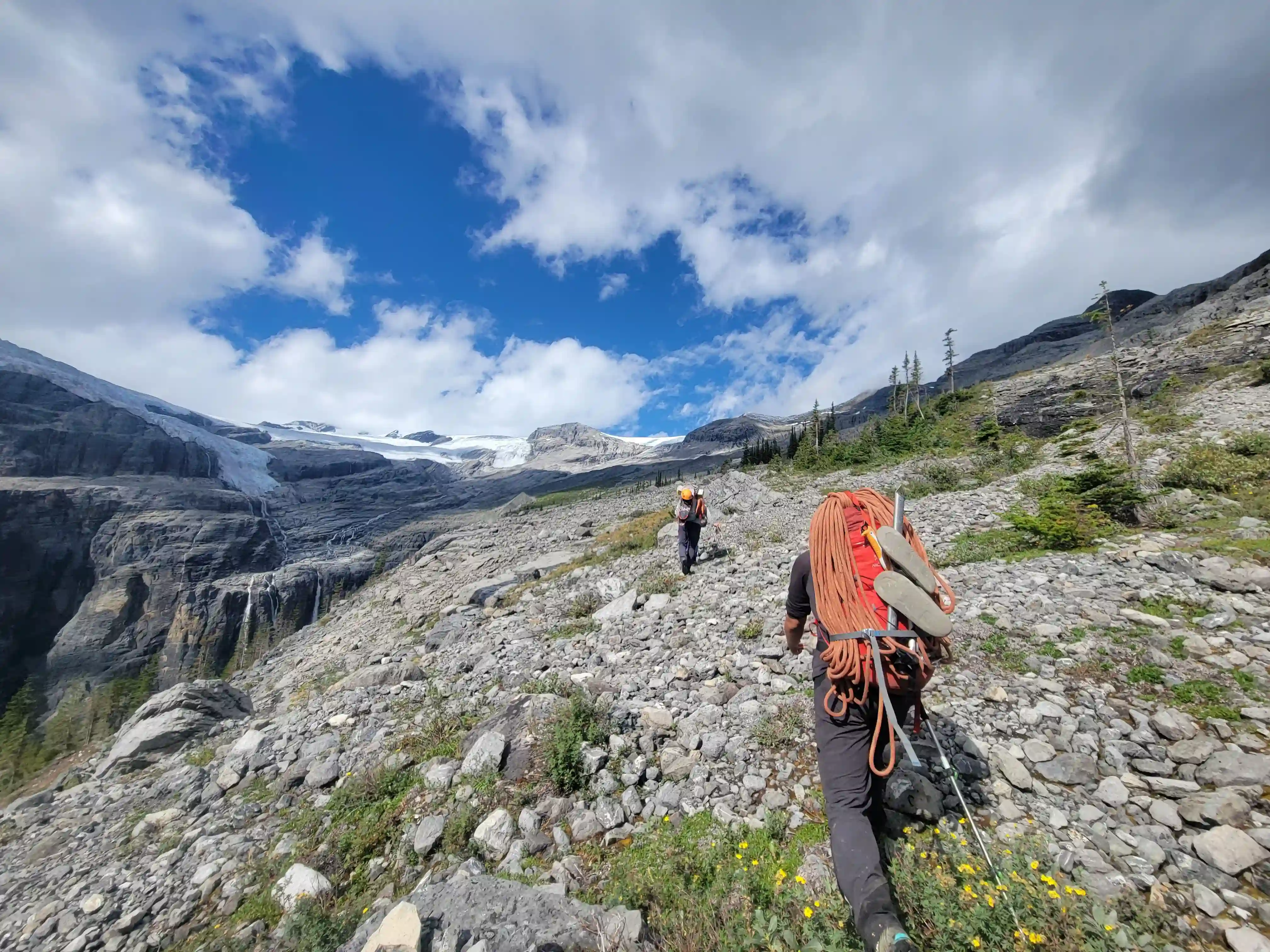
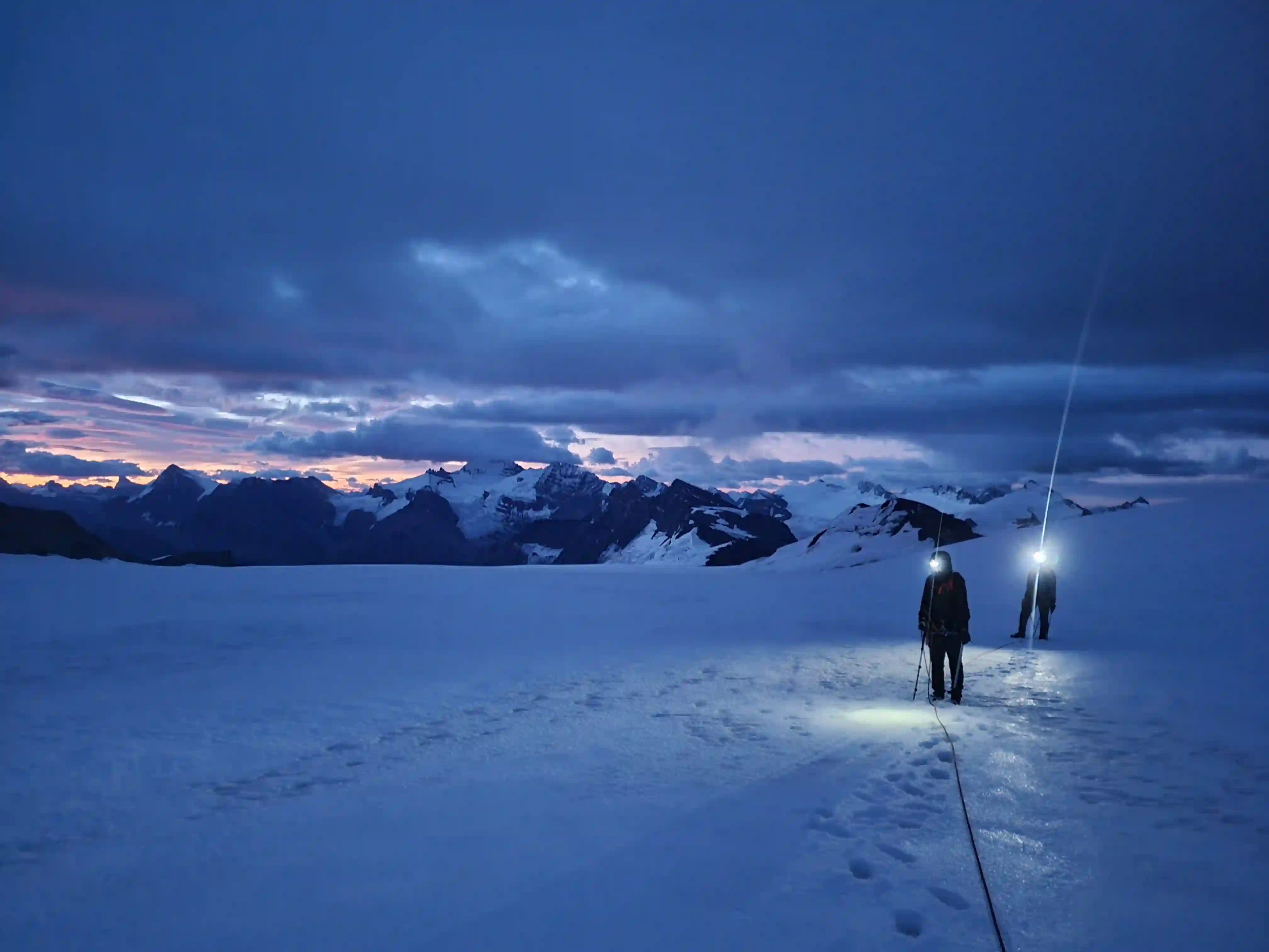
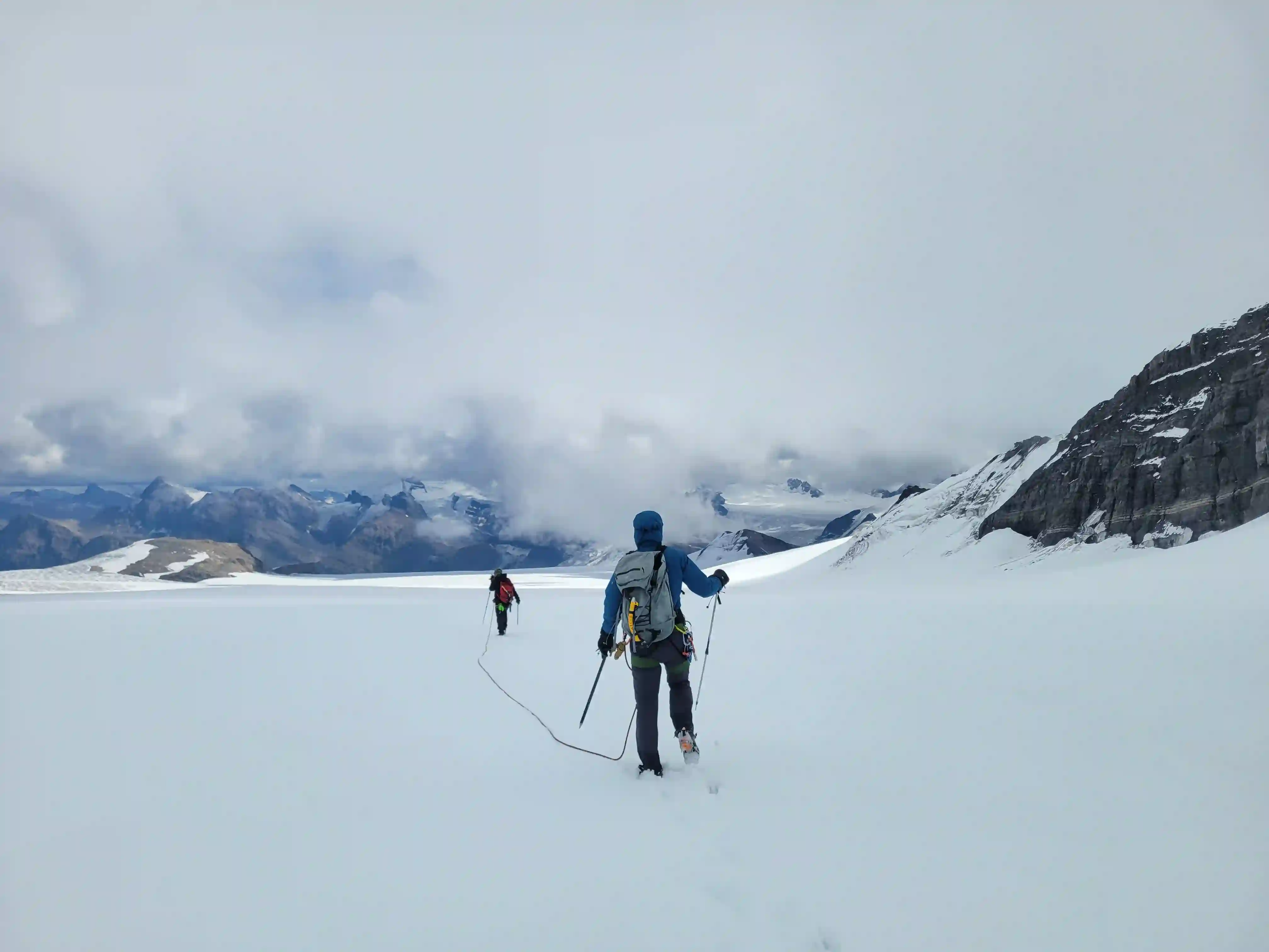
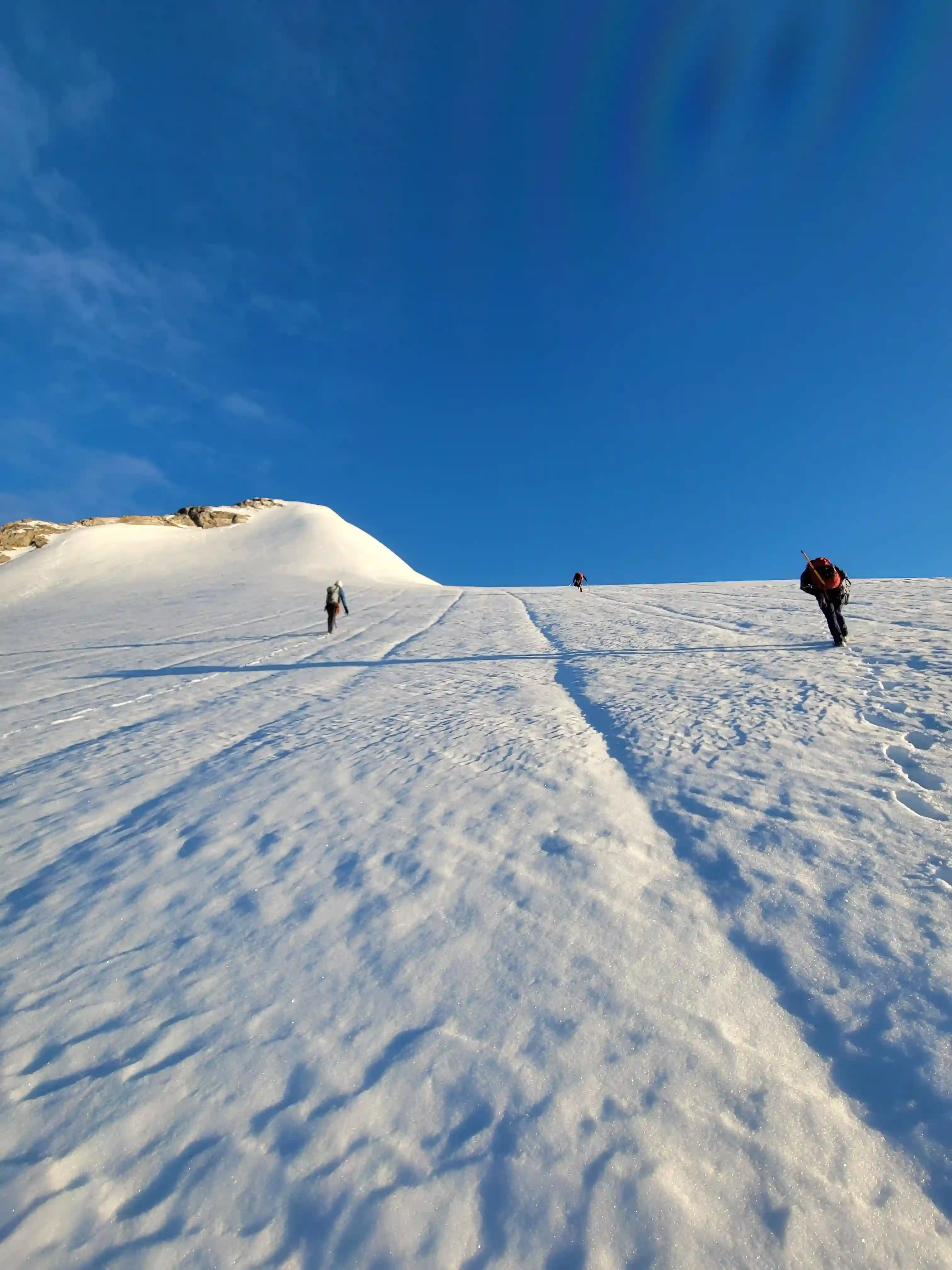
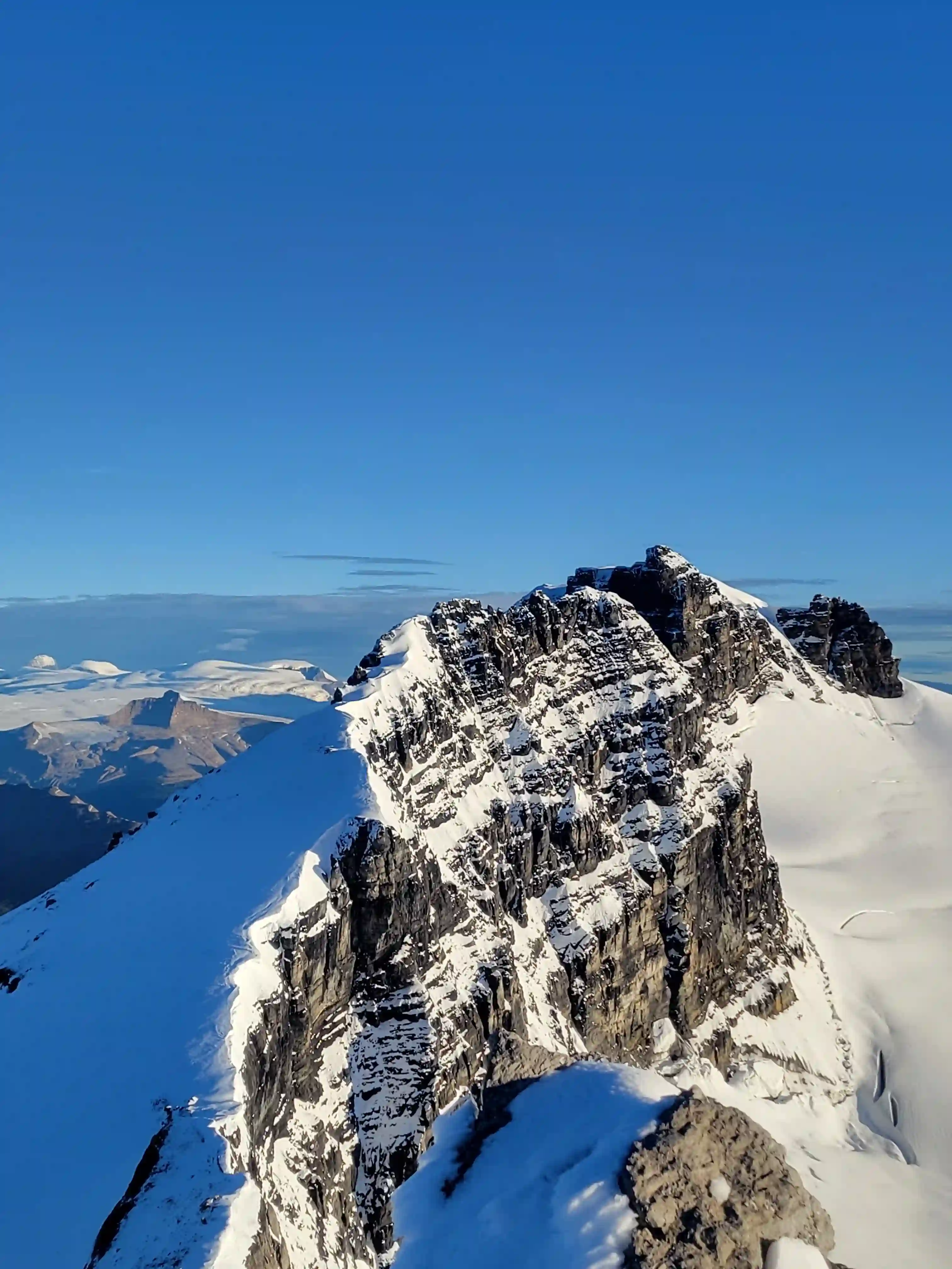
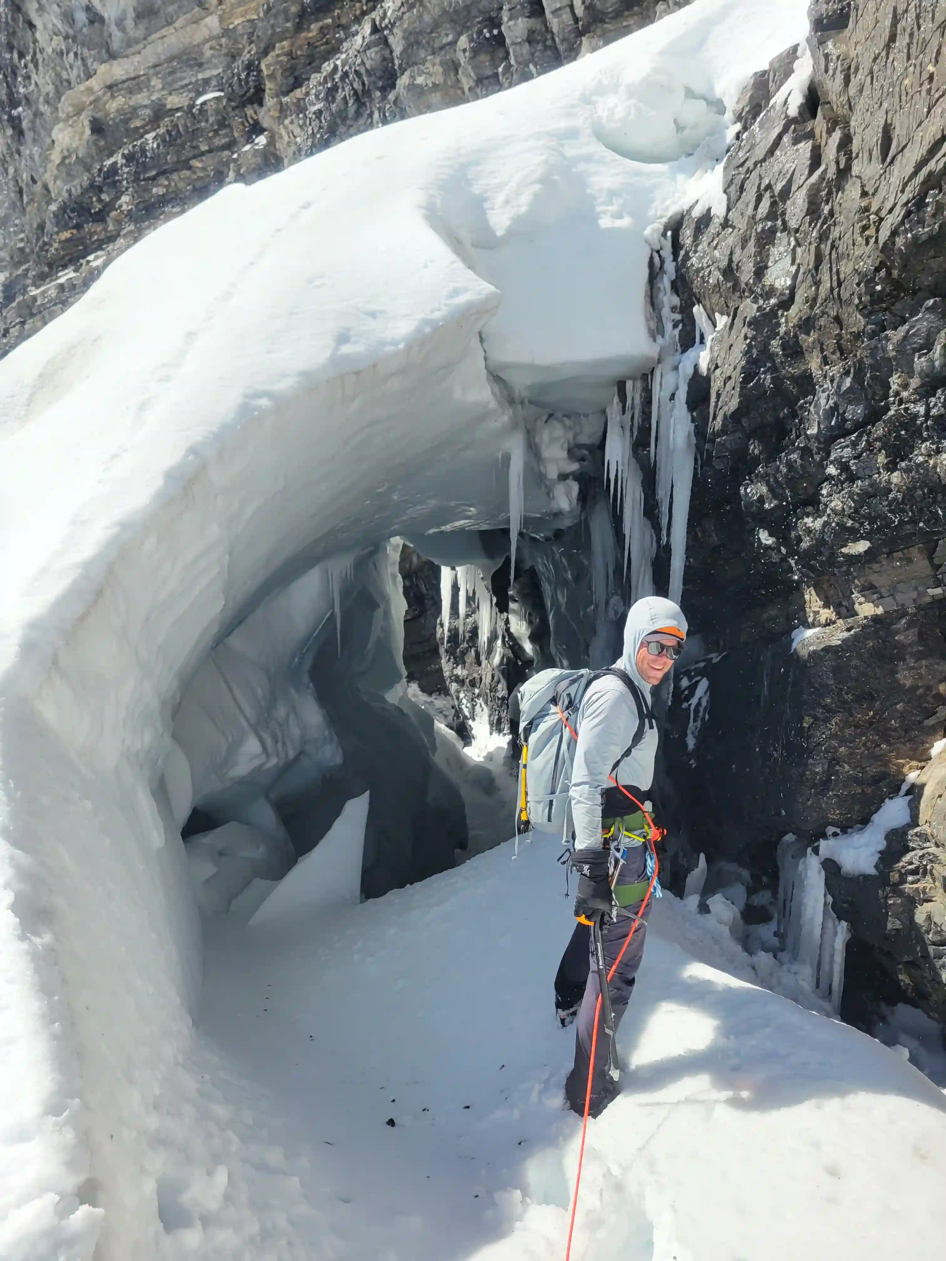
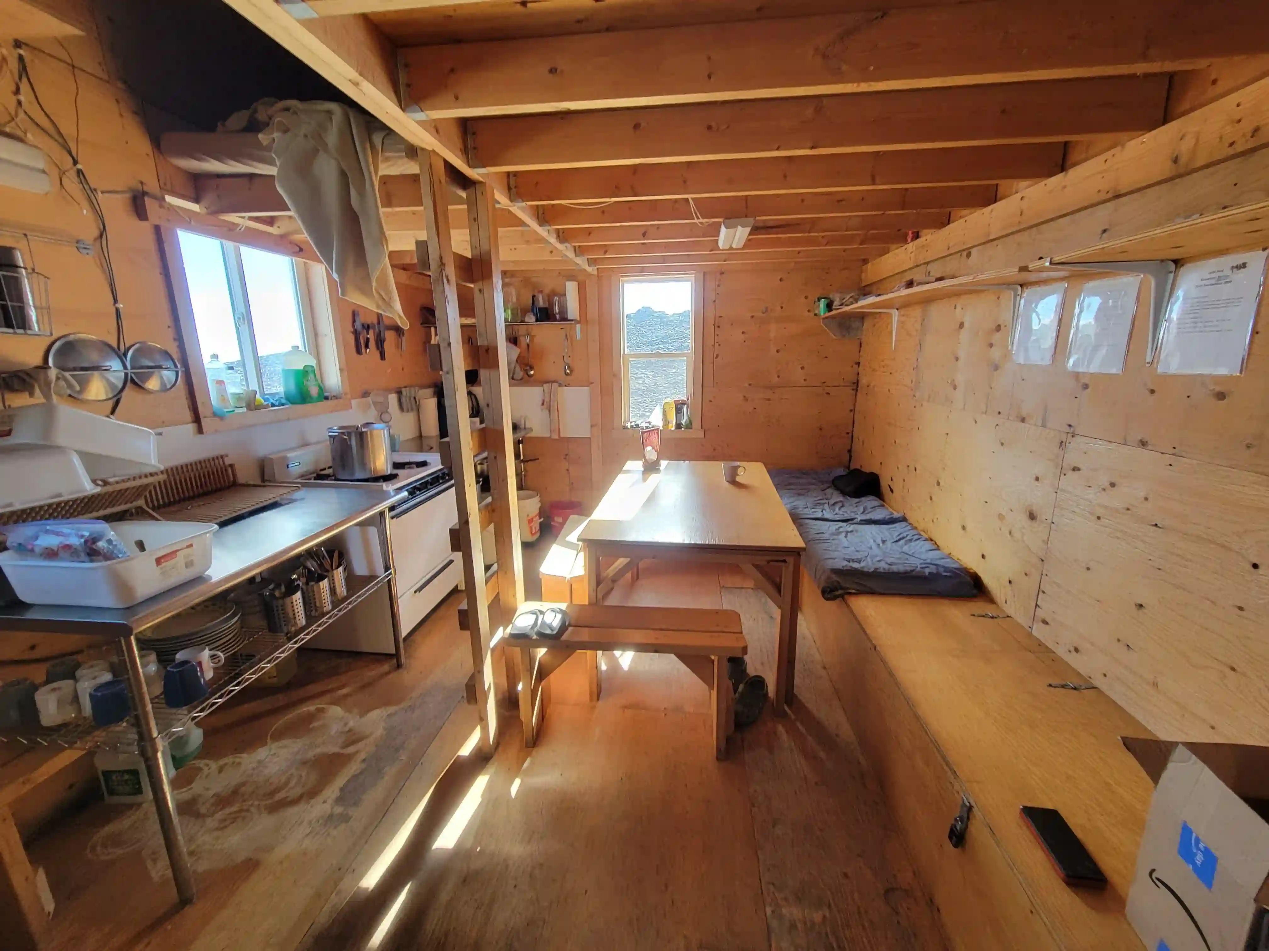
The on foot portion of the approach ended up being quite pleasant but the 2 hours of biking to get there had taken a toll on my legs so day 1 was definitely the hardest for me. After 6 hours of hiking we reached the glacier and a couple hours later we were at the hut so it was a long day and dark by the time we arrived. After a short sleep we were up again and the plan was to Traverse from Lyell 1 all the way to Lyell 5 using the aesthetic and not often done ridge between Lyell 4 and 5 inspired by Devan and Rob's success with this route the year prior. Most groups head east from the hut before cutting north to get Lyells 1-4 and make a separate trip for Lyell 5, looping around twilight Peak to the NW and using glacier on Lyell 5's SW flanks, but this combination of routes would work nicely for a traverse as we wouldn't have to do any backtracking and could descend to the hut after the last of The Lyells.
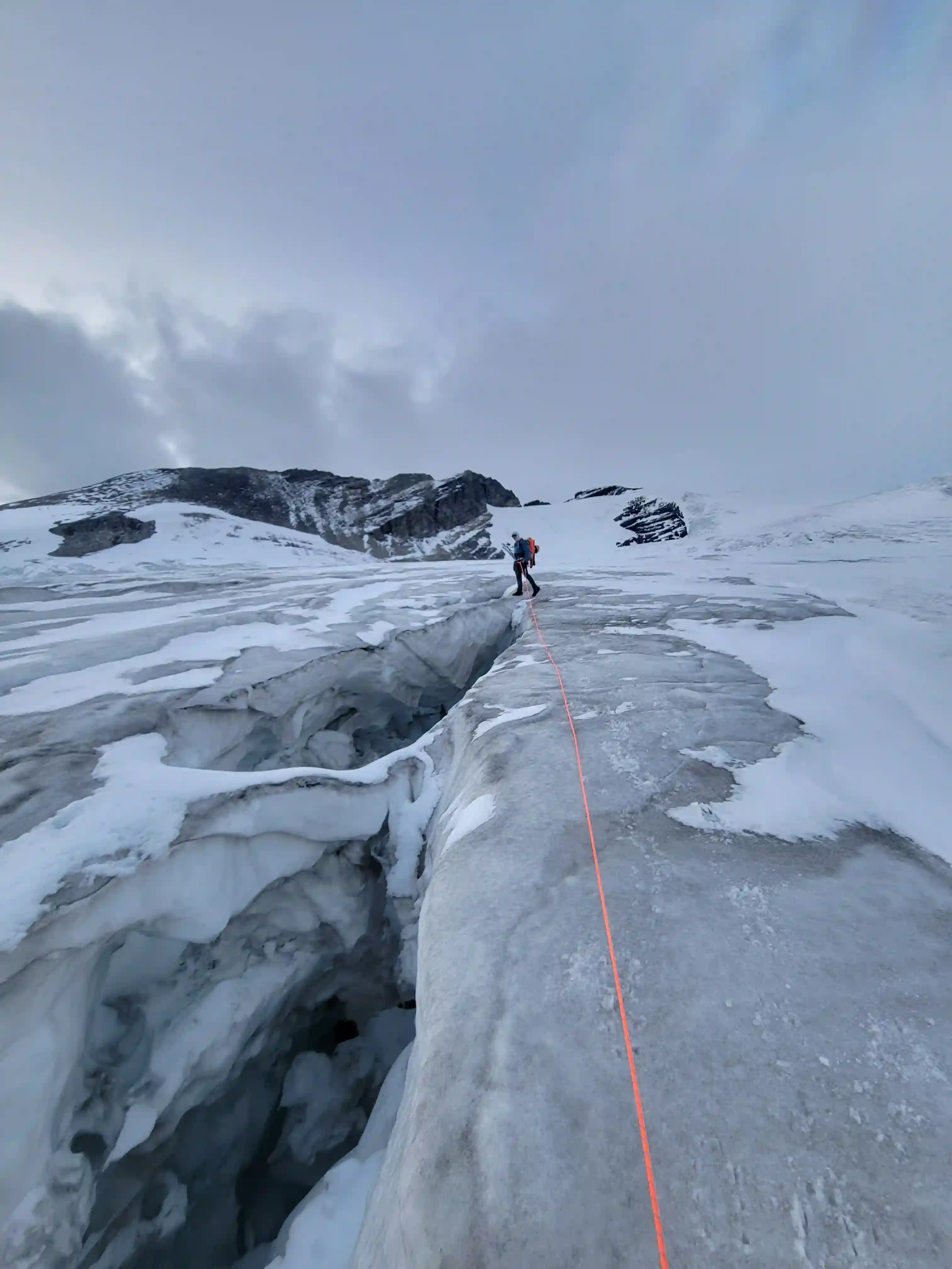
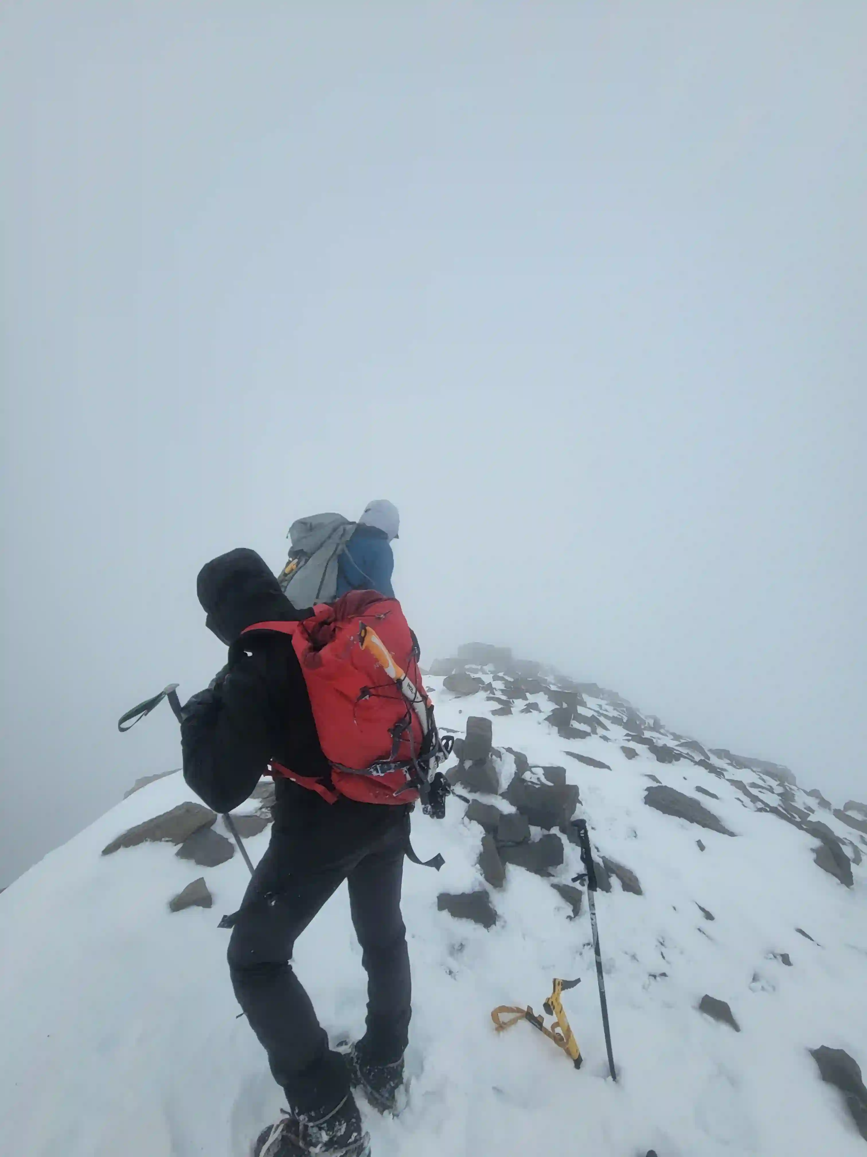
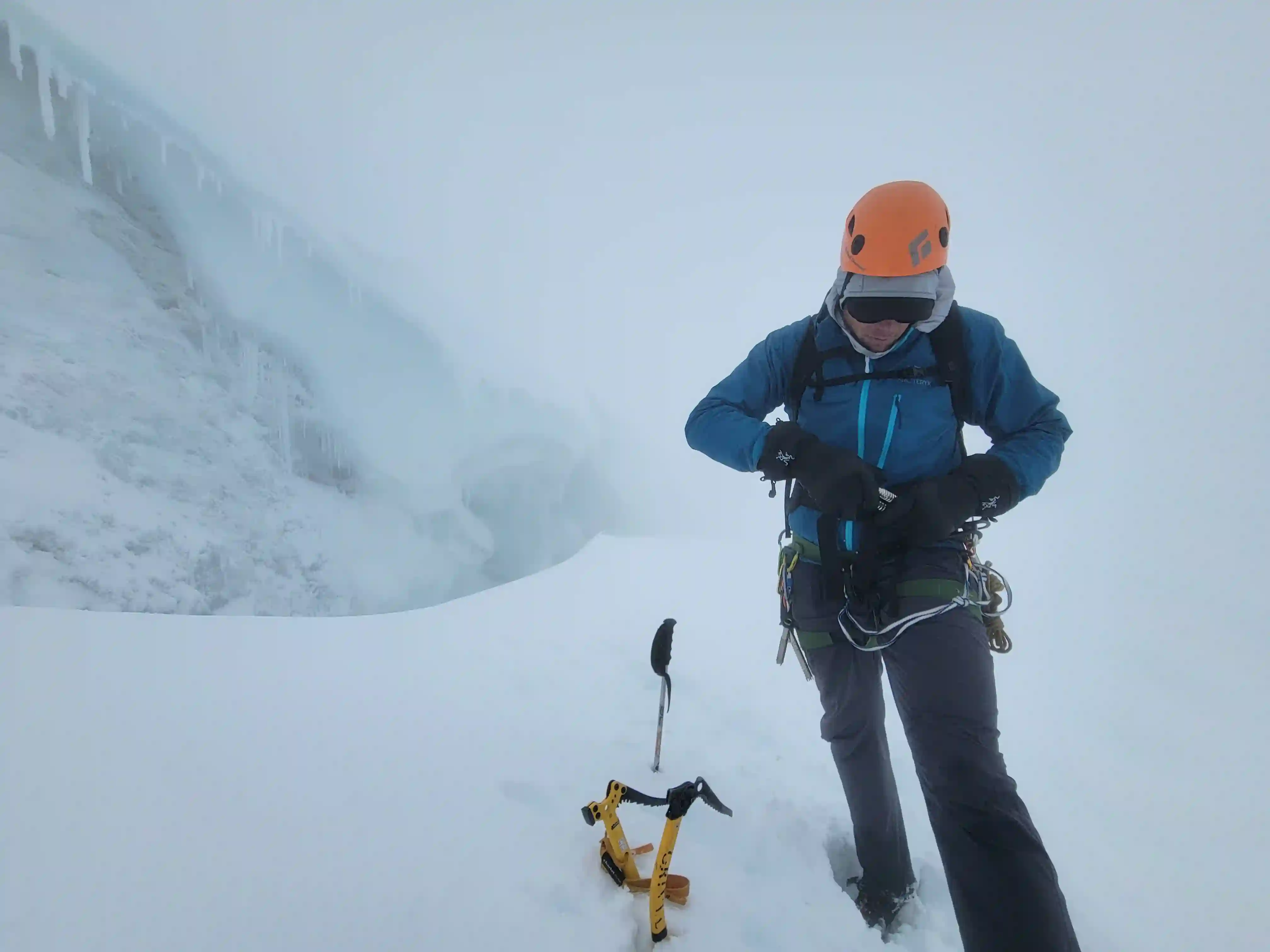
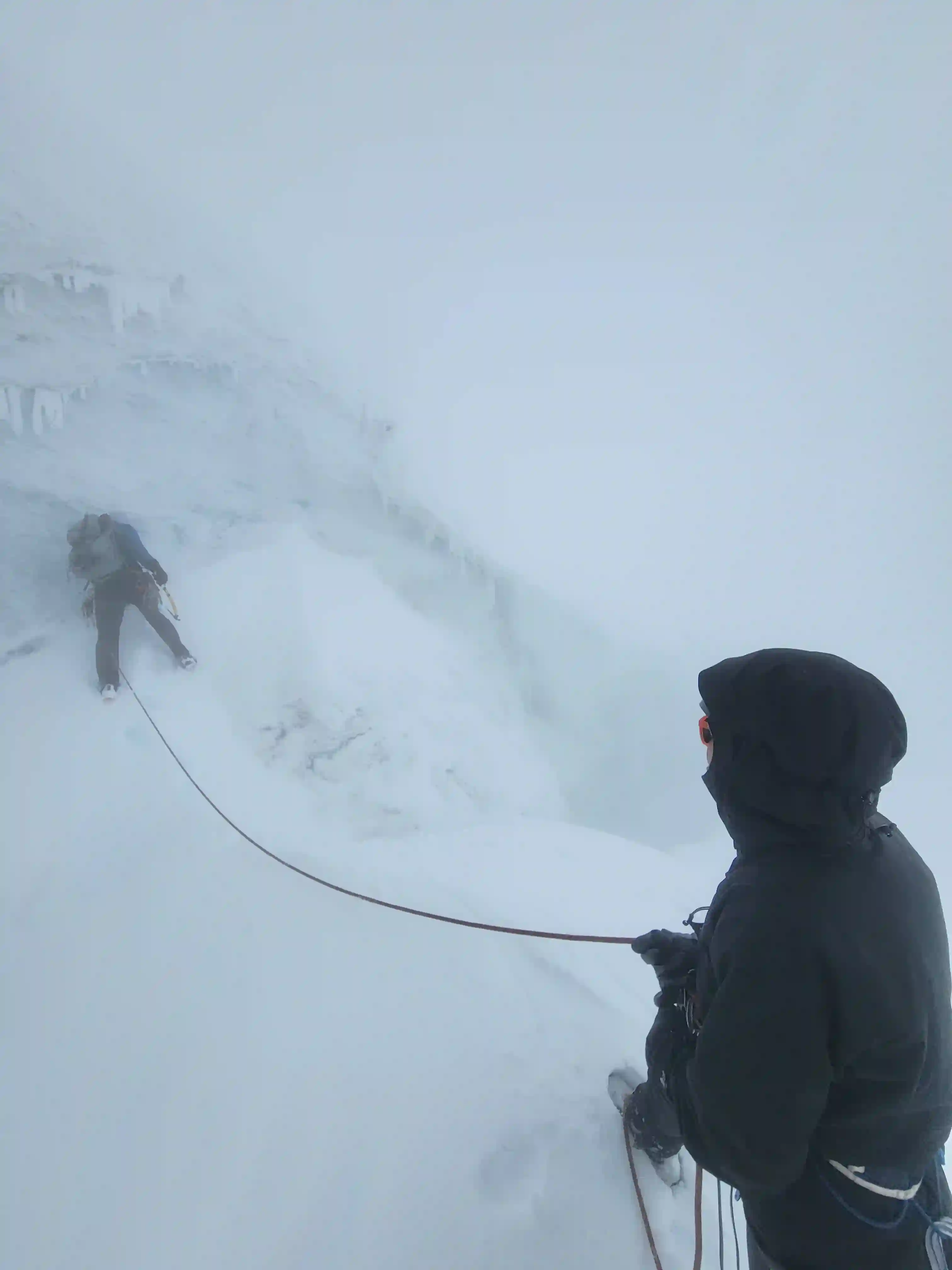
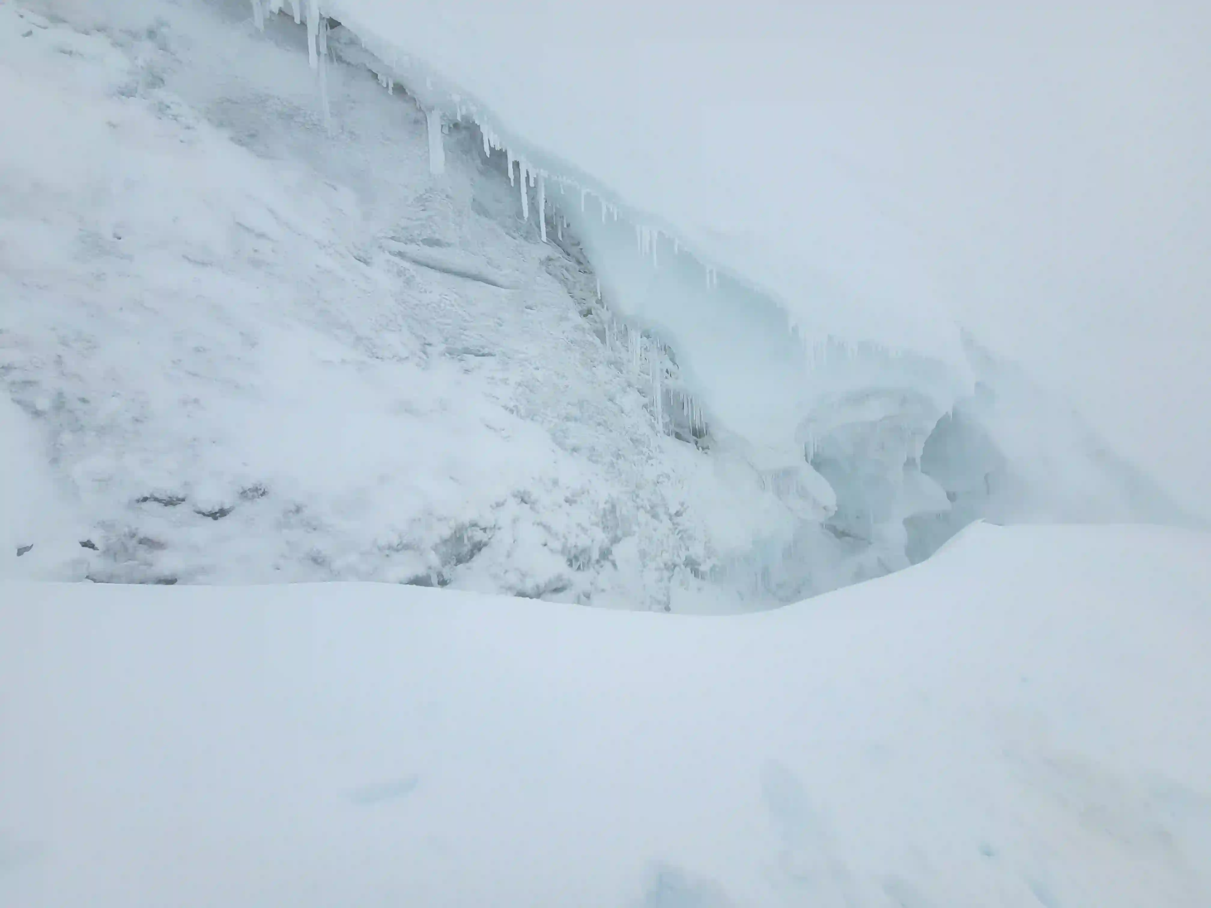
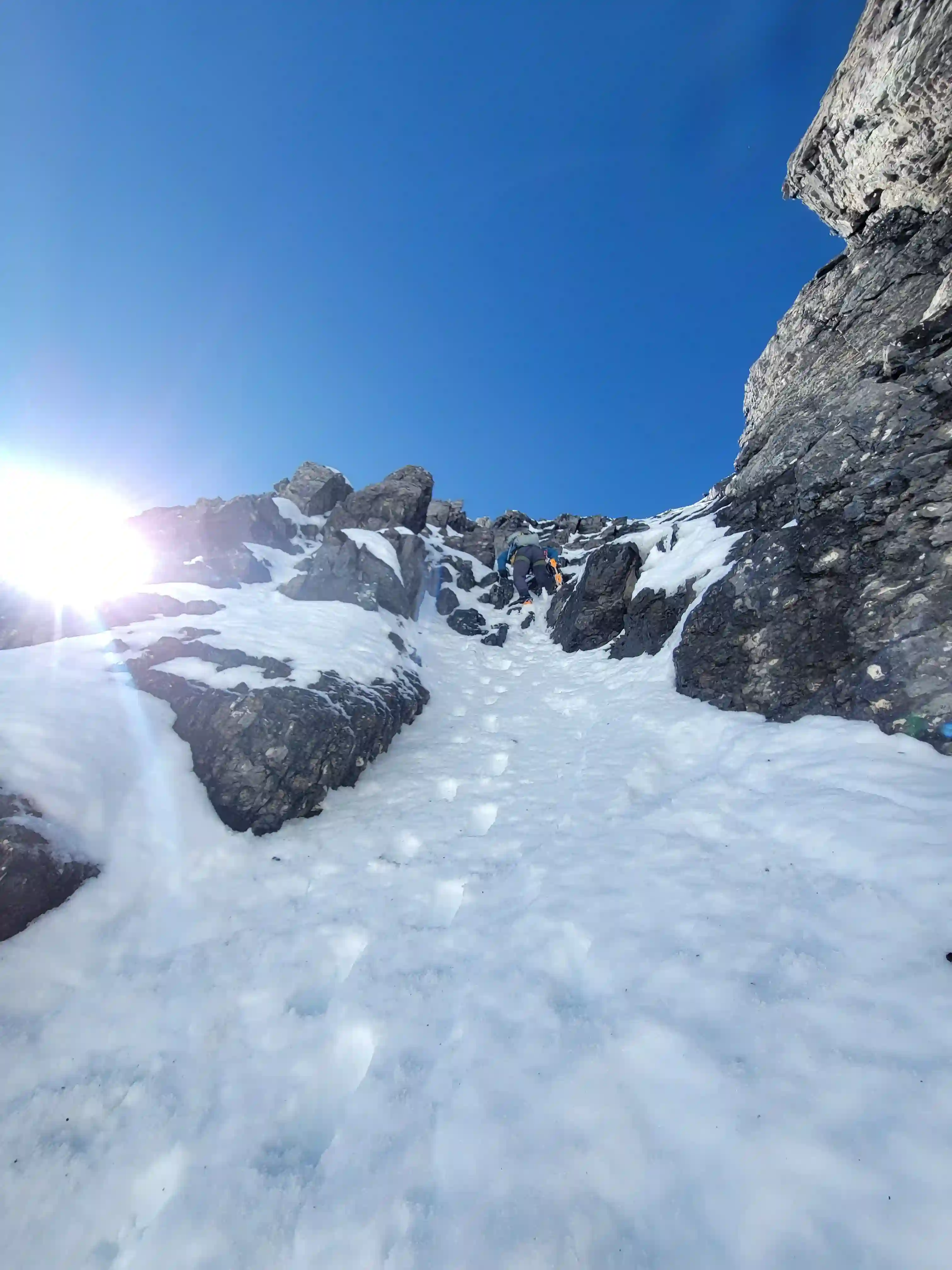
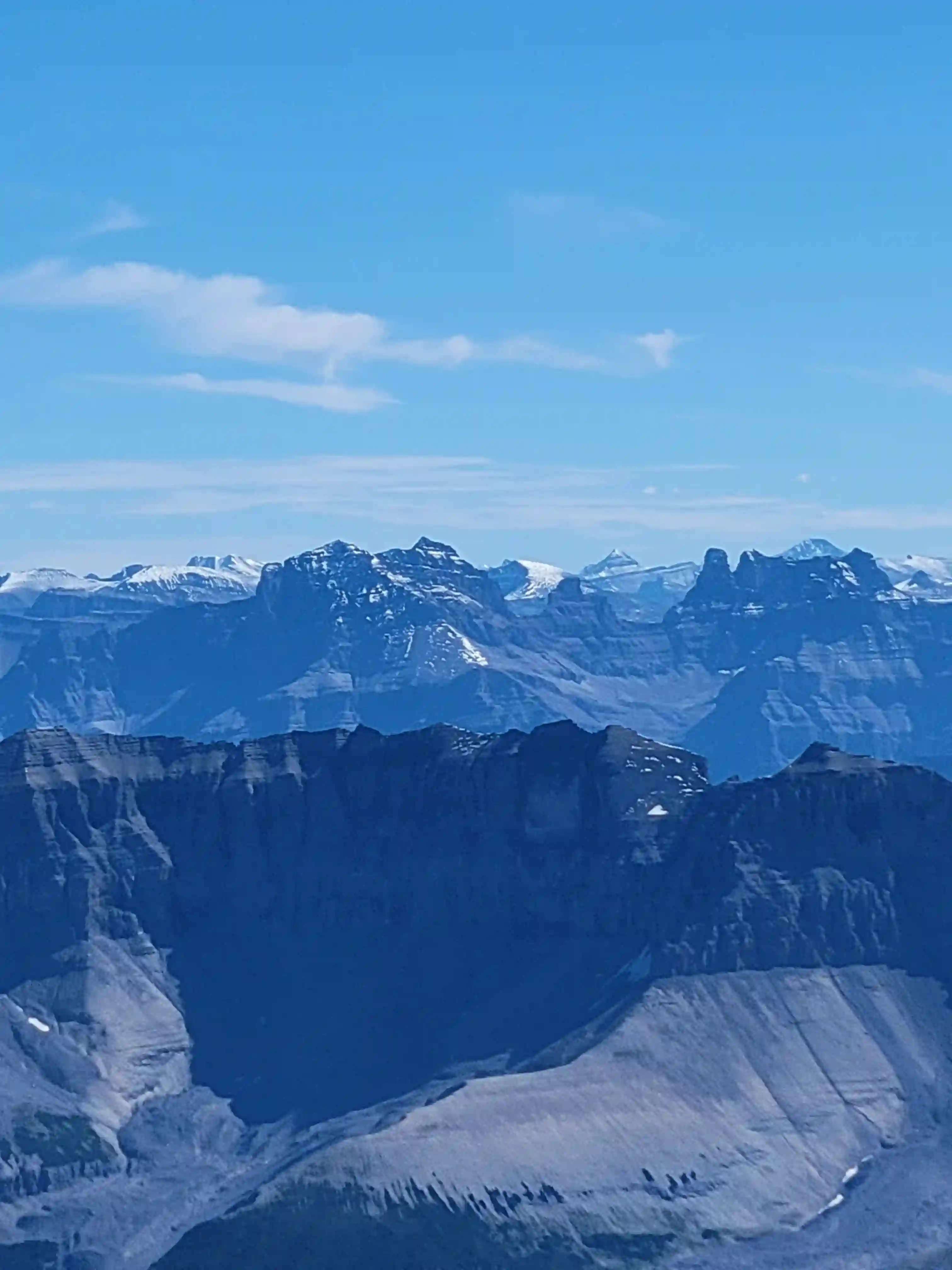
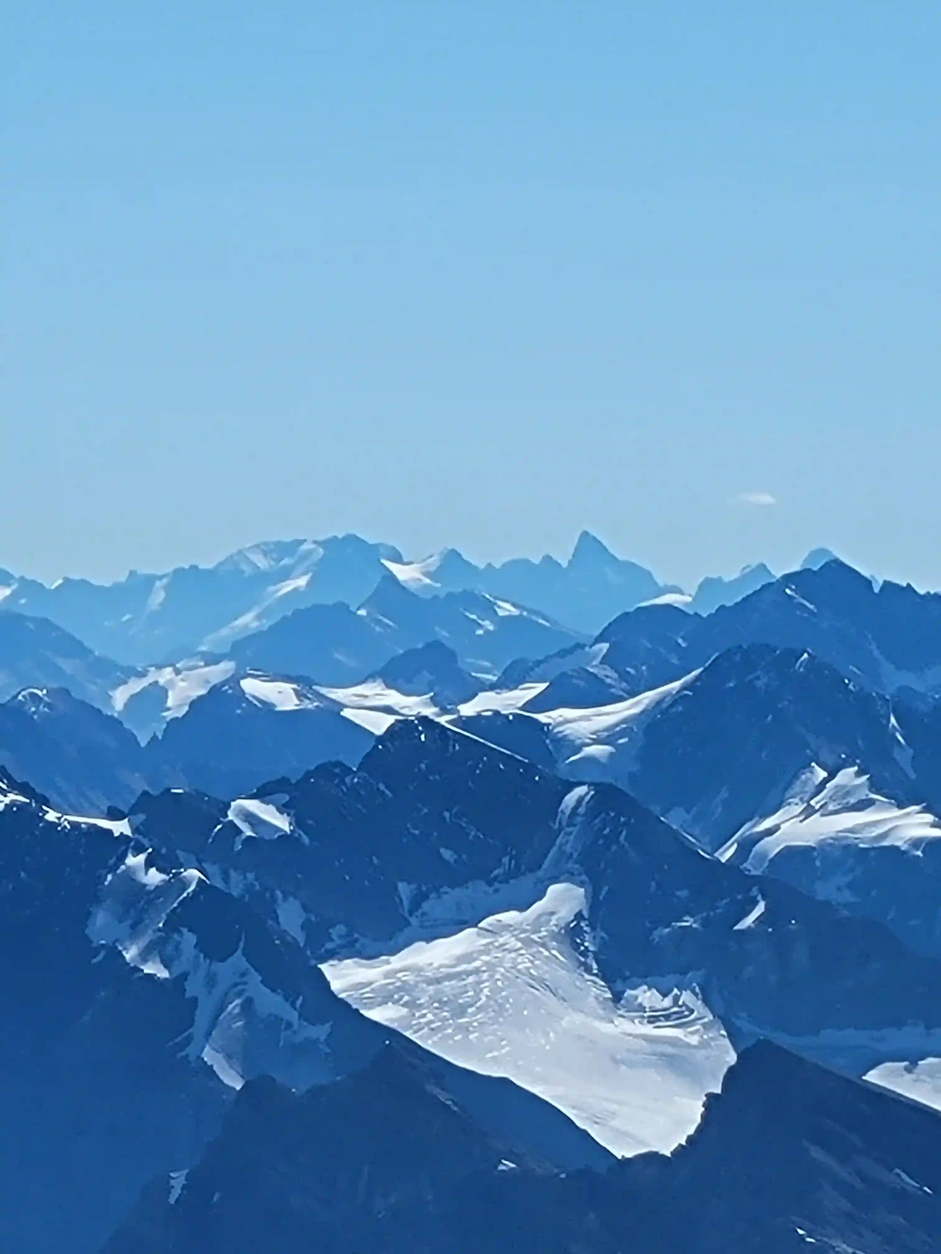
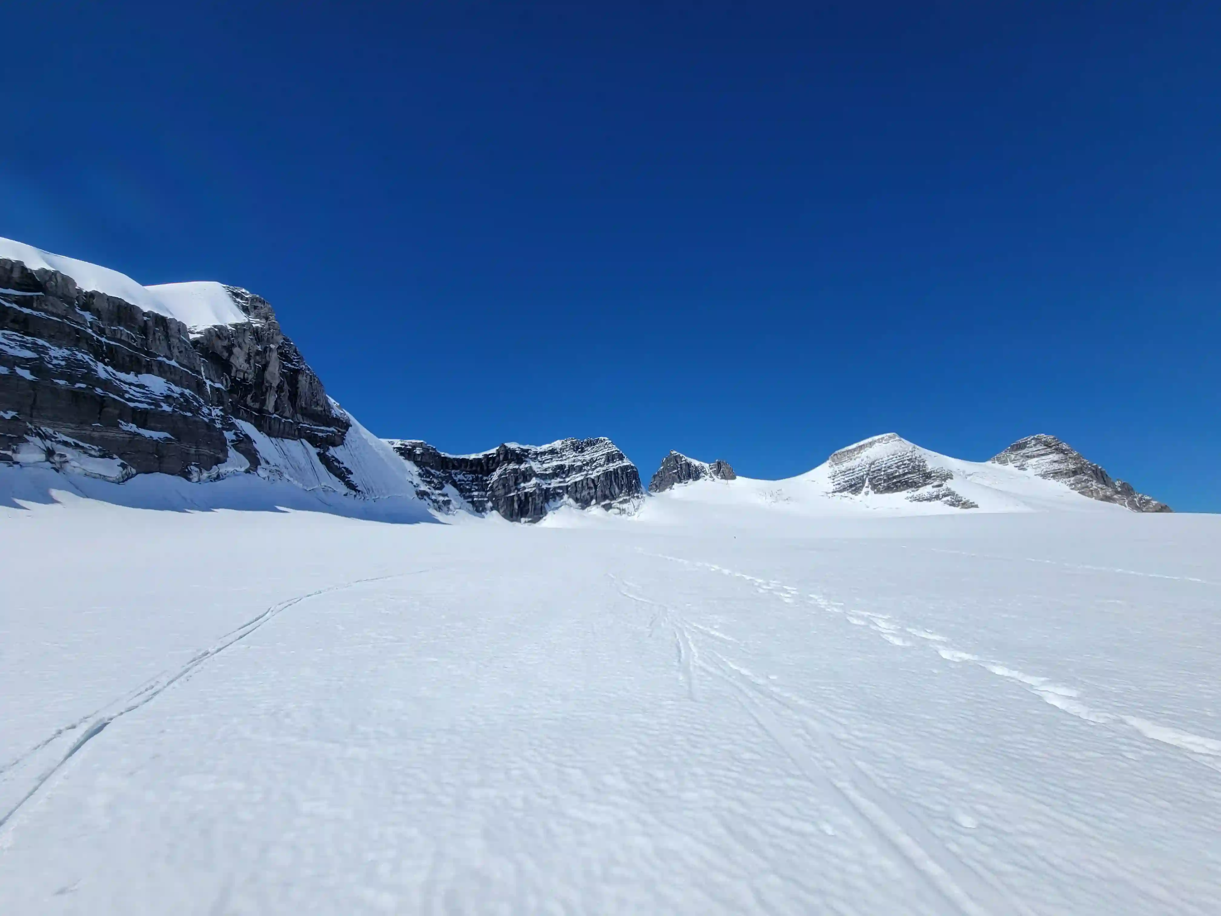
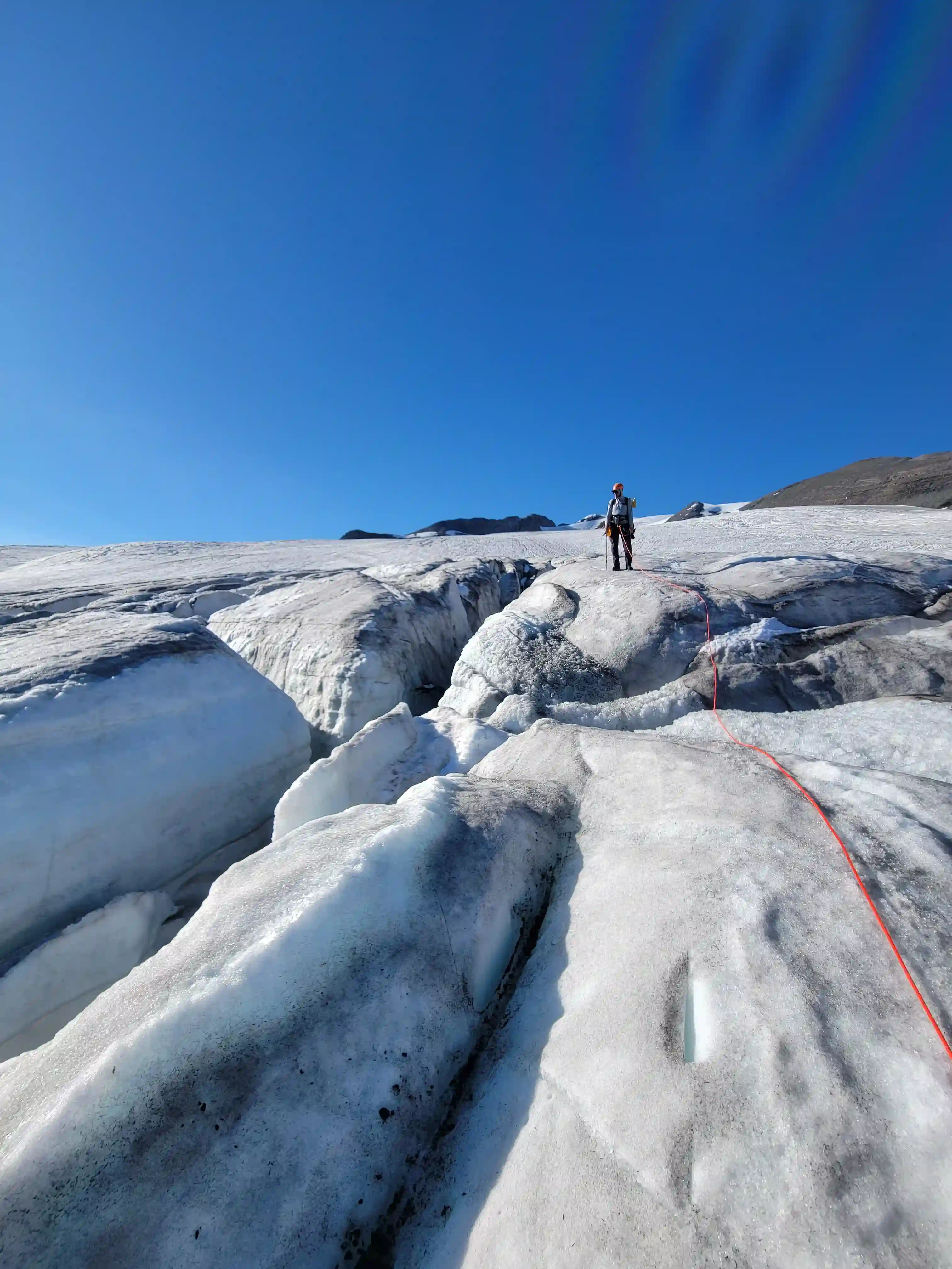
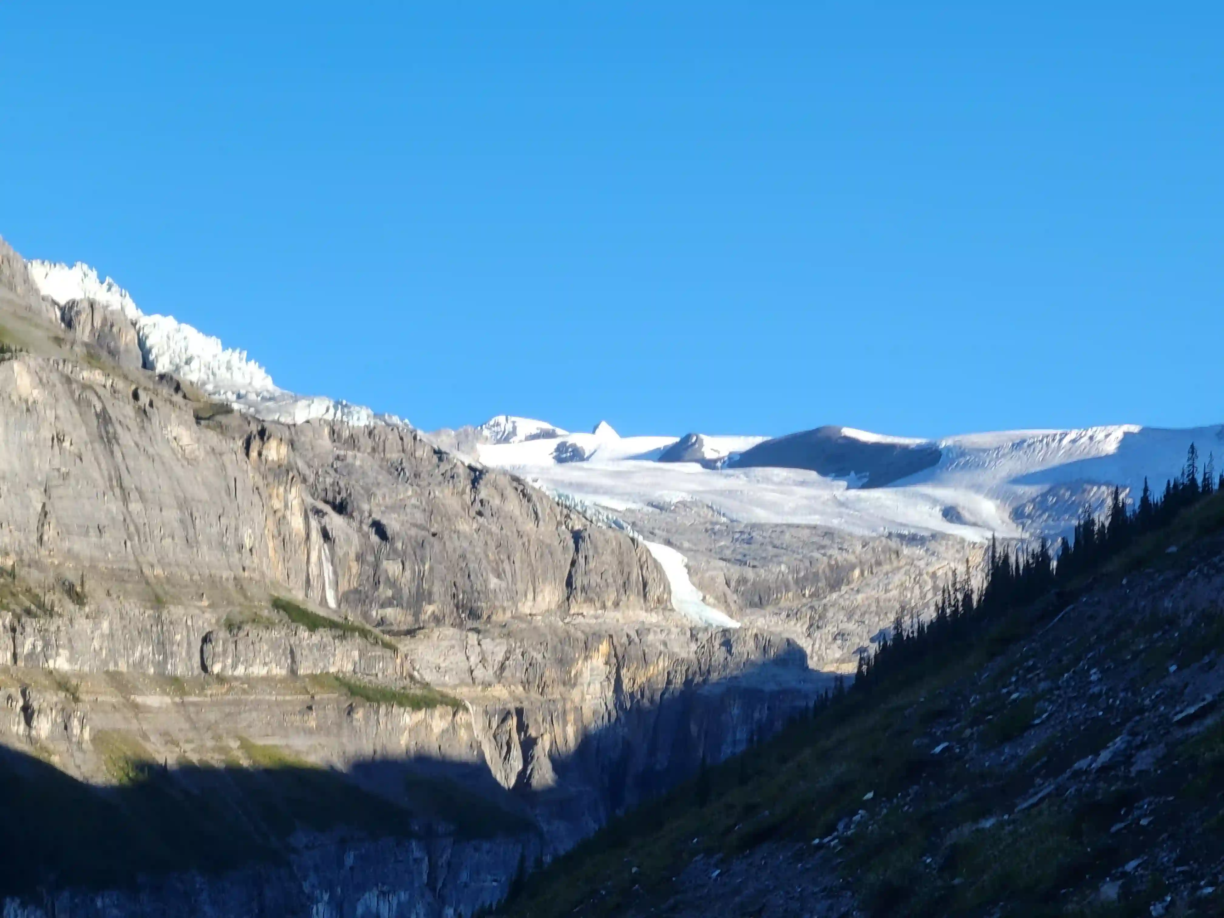
Once it was light enough to see we realized how socked in our objective was, it wasn't bad everywhere but everything above 11000 feet was in a cloud so we knew we were in for an interesting day. We pressed on in the event it cleared up and because of Lyell 1 and 2's tame nature we were confident we could get them done even with the lack of visibility. Once we got above 3200m it was close to full whiteout conditions so we relied heavily on GPS navigation but were successfully able to bag Lyell 1 and 2 in some seriously adverse conditions. From there we descended to the Lyell 2-3 col and headed up towards Lyell 3 where we were stopped by the bergshrund. The shrund was quite intimidating given its poorly bridged condition late season and the fact we couldn't see the ridge just above at all made this section seem a lot tougher and had us worried we'd be climbing steep snow / ice for a sustained period above the shrund before topping out. We gave the shrund a good effort but the conditions were too poor and the ice was insecure so we turned back and headed for the hut.
have to use AllTrails to make sure you're actually at the top
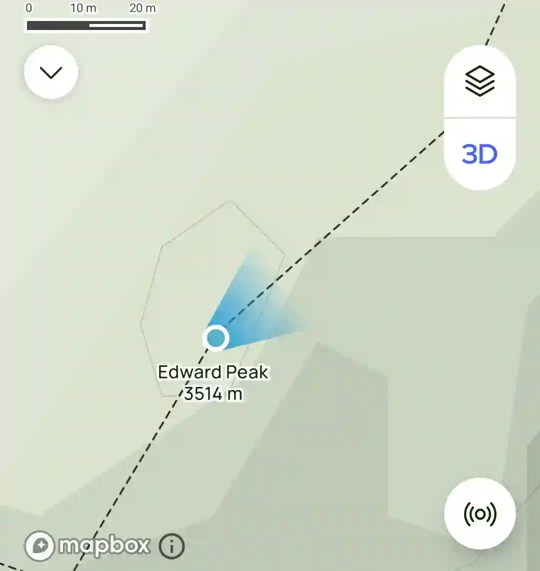
EDWARD PEAK (LYELL 2)
3514m, 11529ft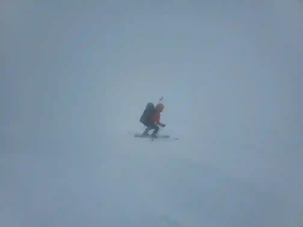
when we reached the Lyell 2-3 col
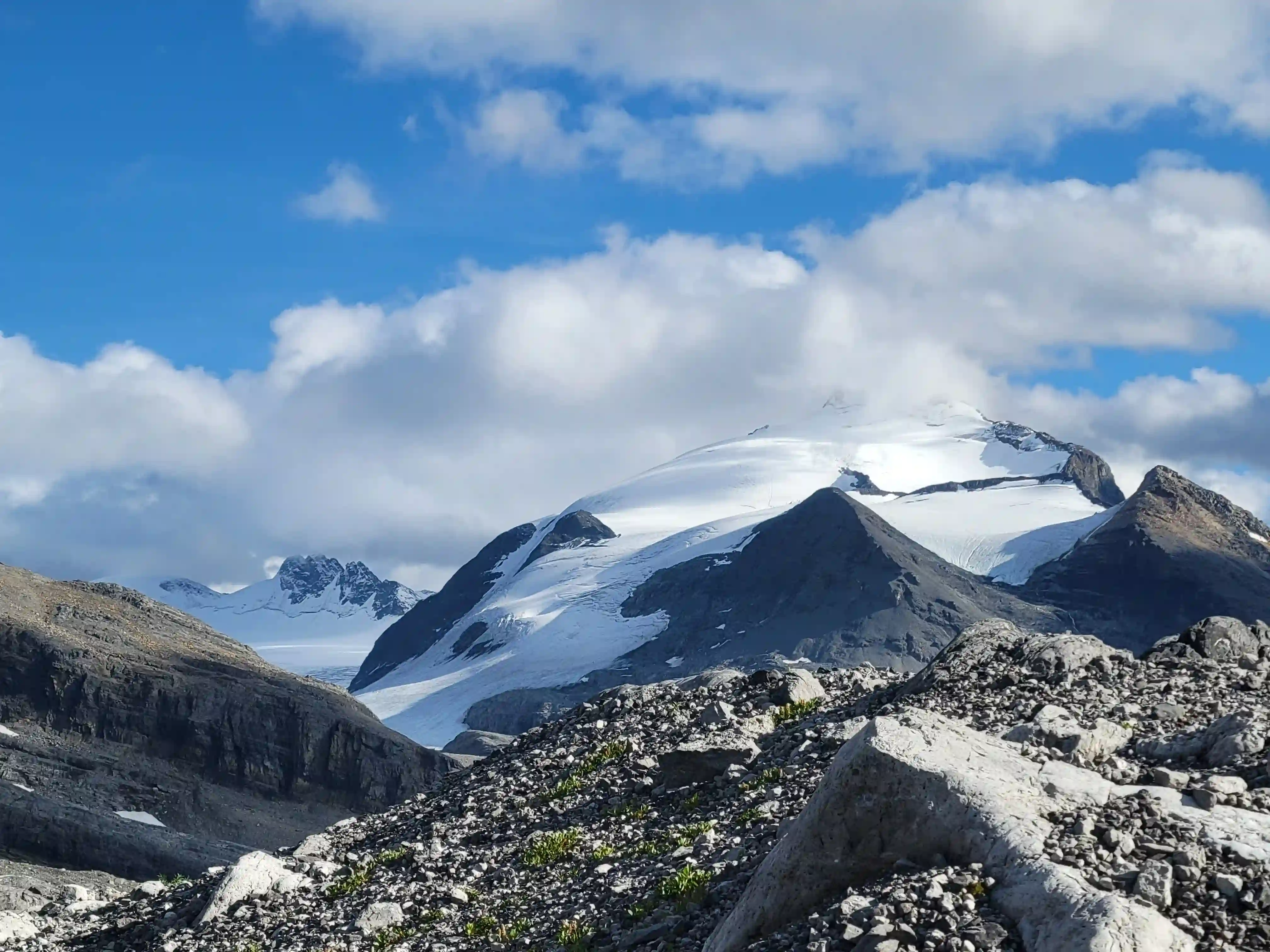
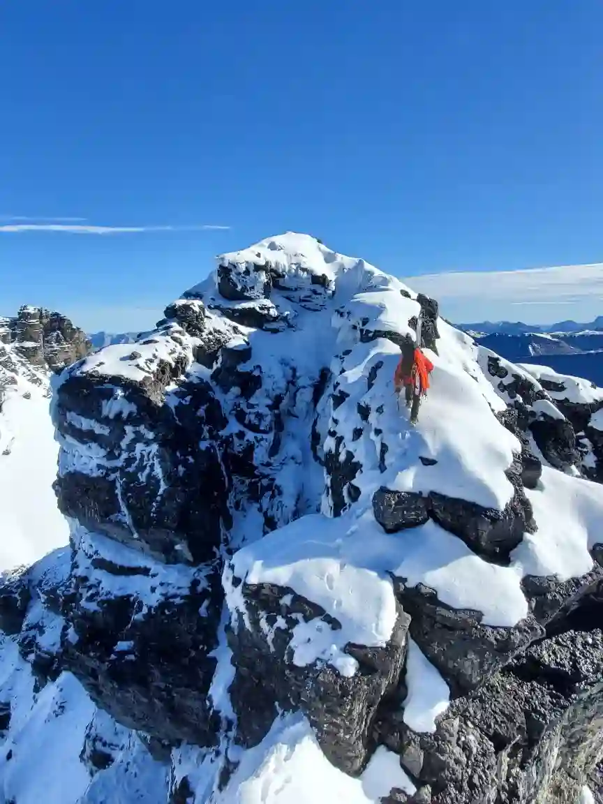
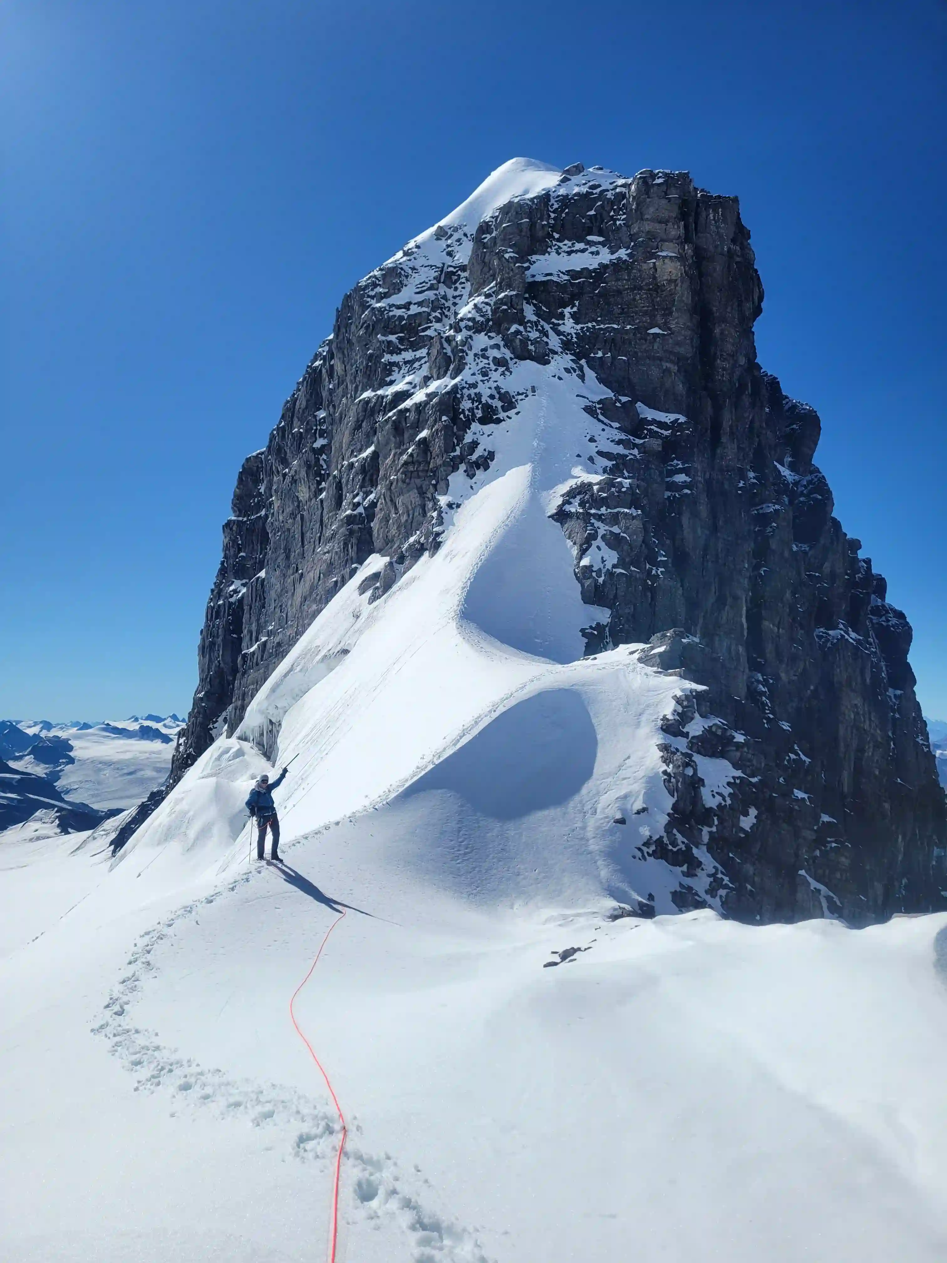
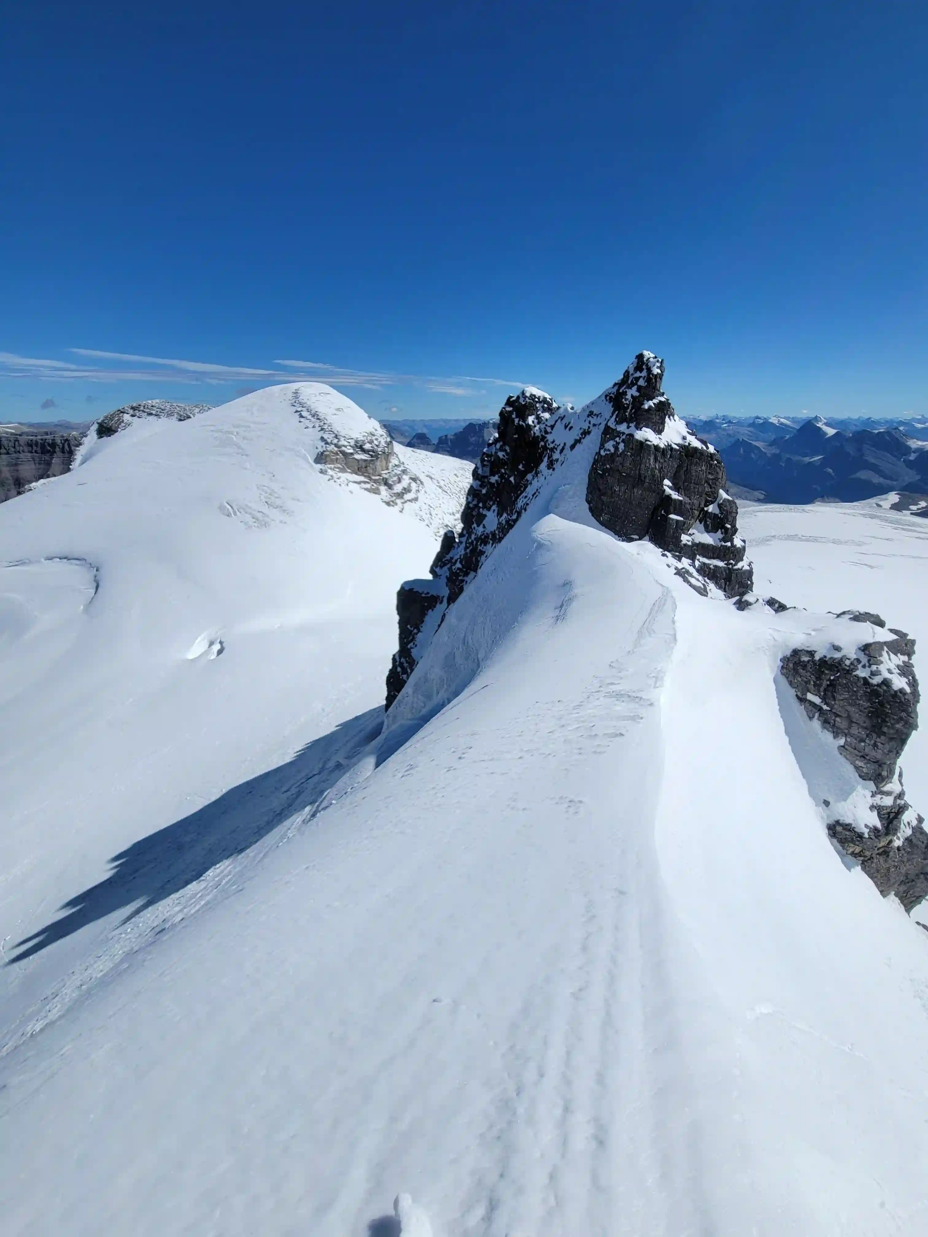
CHRISTIAN PEAK (LYELL 5)
3390m, 11122ft
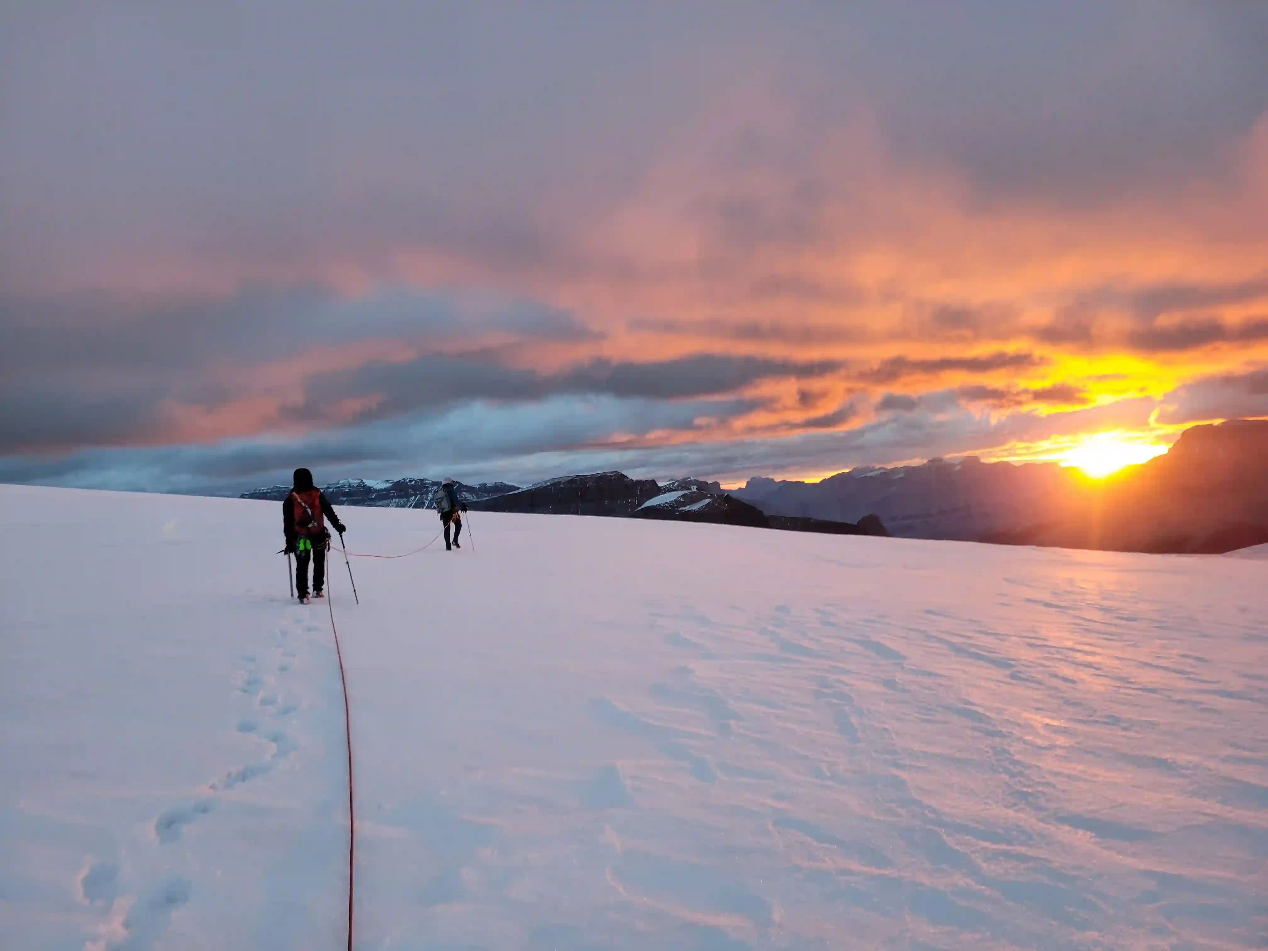
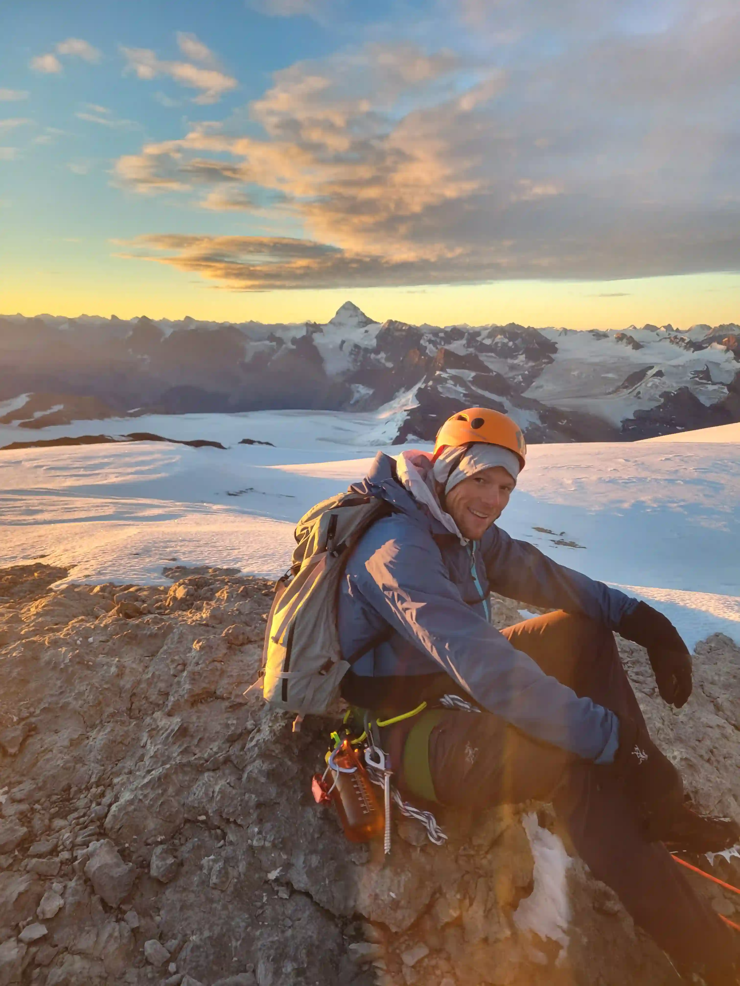
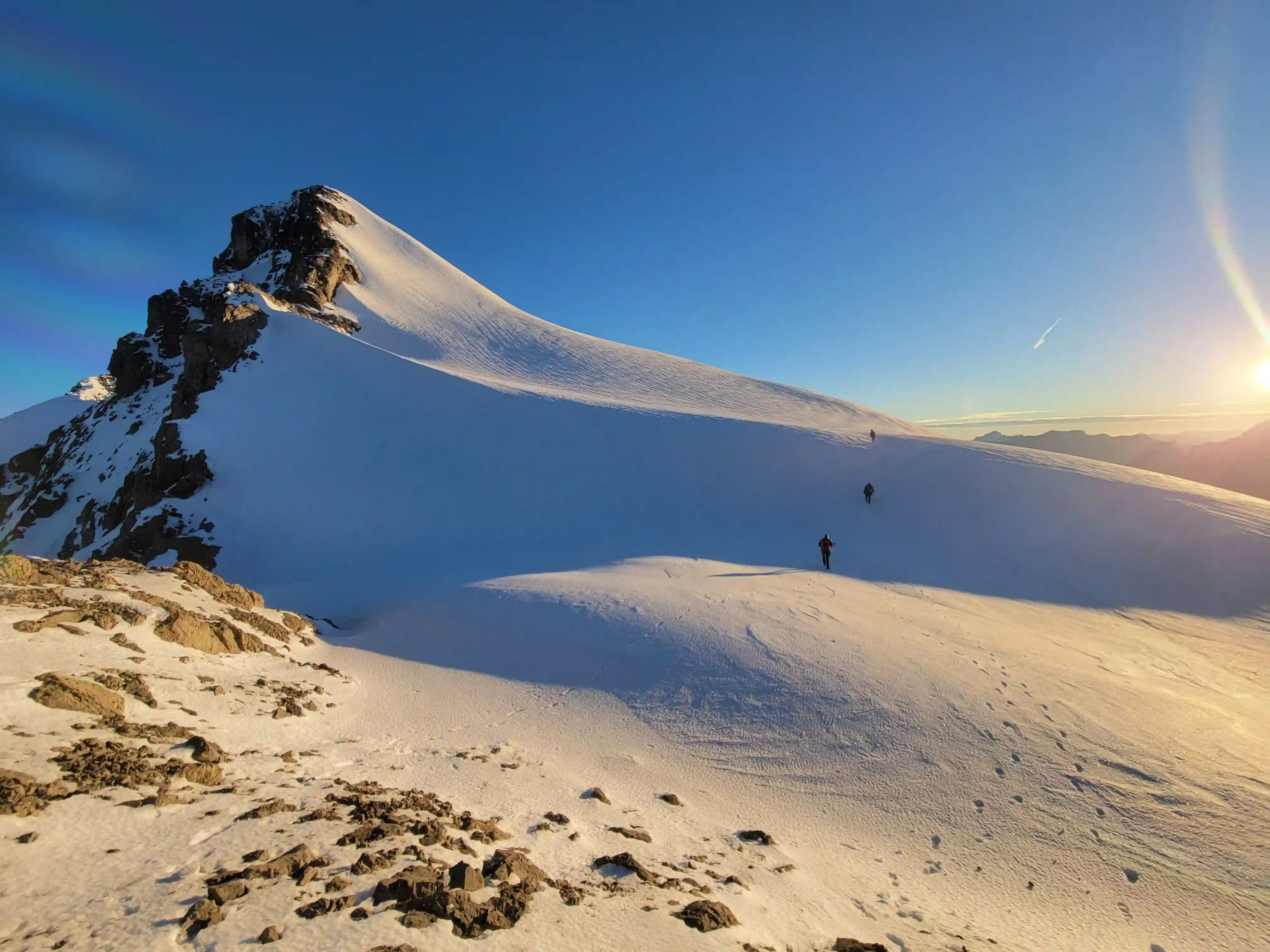
Darren and I had initially planned on being in an and out from The Lyells in 3 days while Josiane and Brent planned to stay for longer but with our summit day not going to plan and the route for Lyell 5 right there we couldn't leave without checking off another of the easier Lyell peaks. We were up early again the next morning and starting up the Lyell 5 route in the dark and by the time first light showed up we could tell it was going to be a great day.
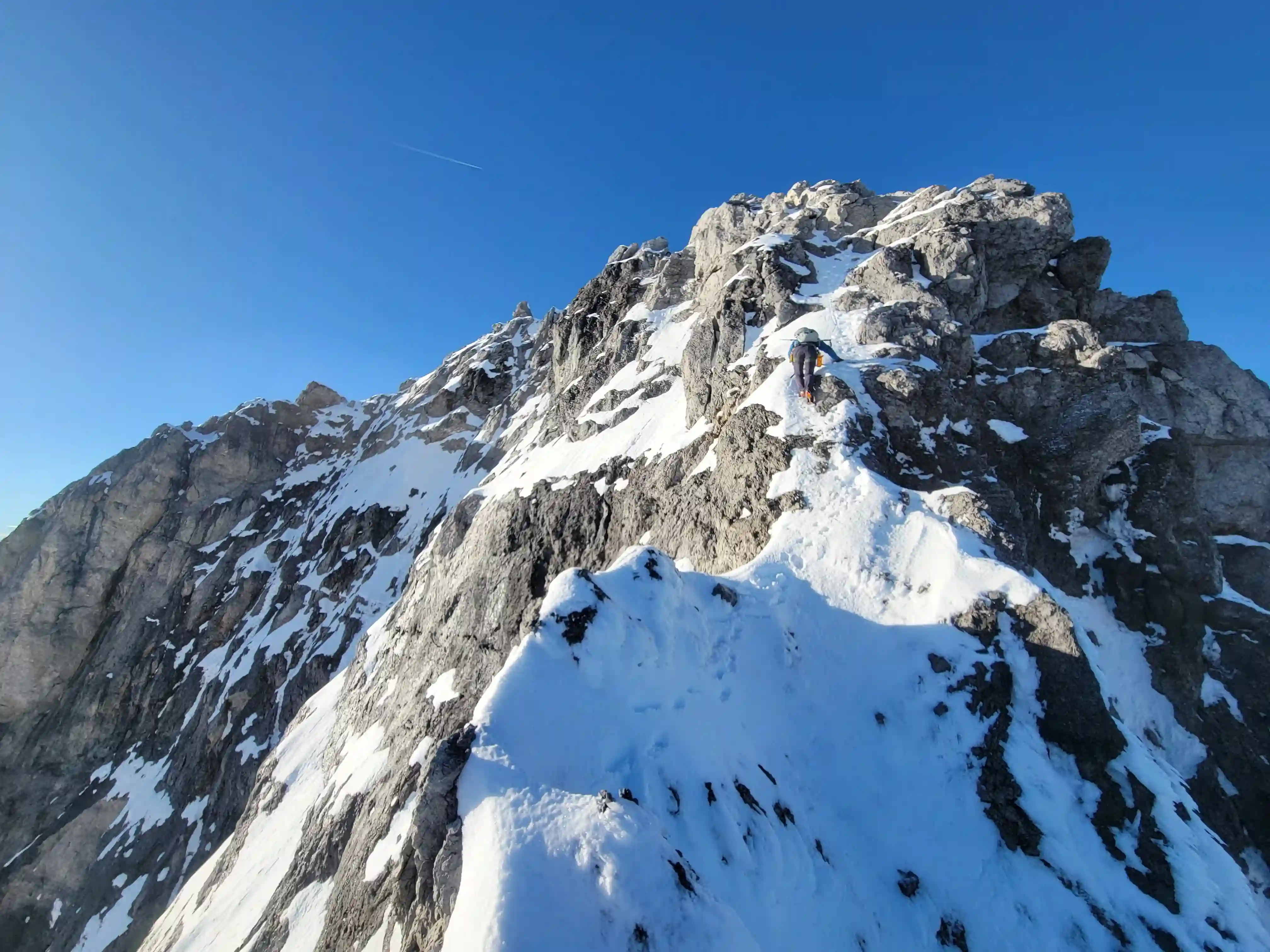
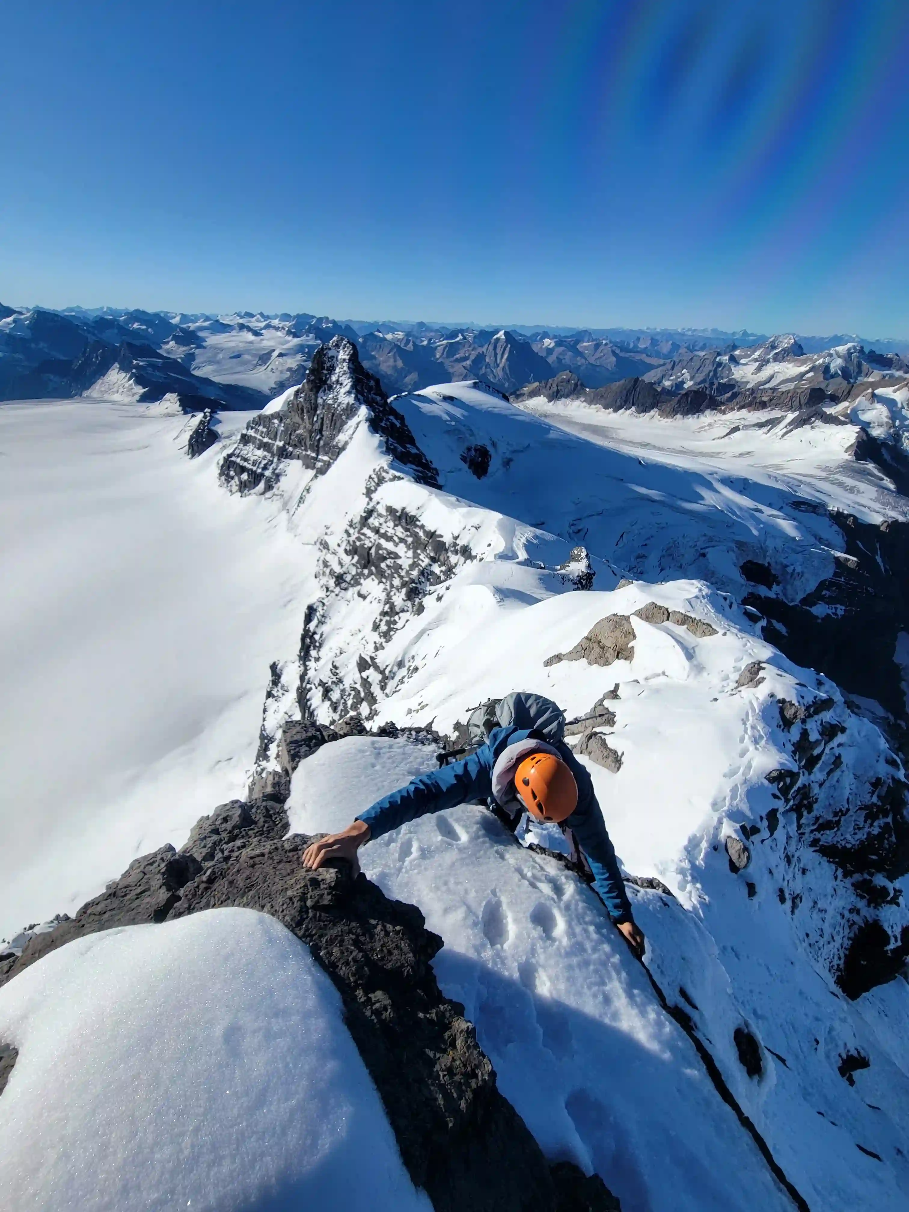
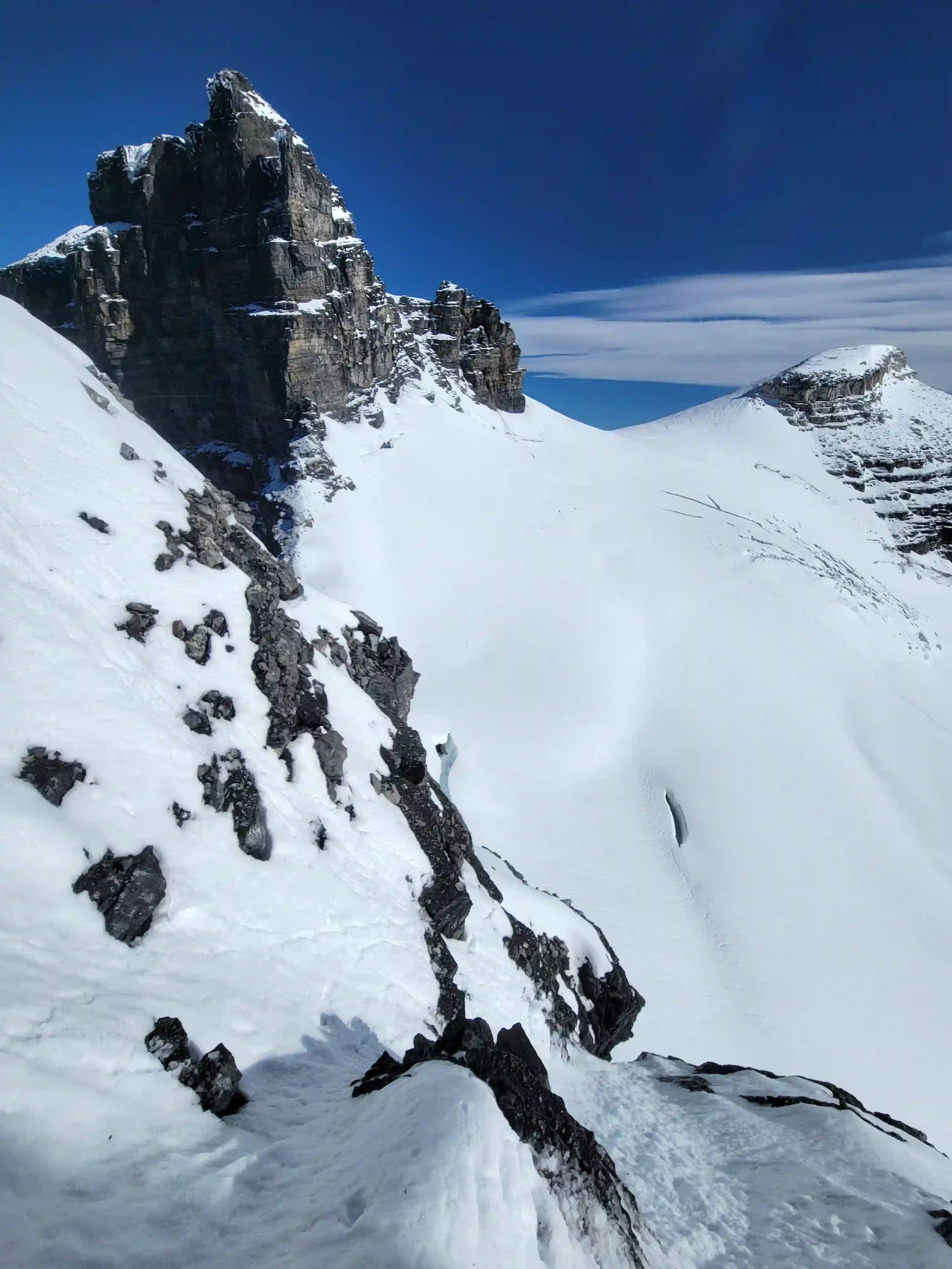
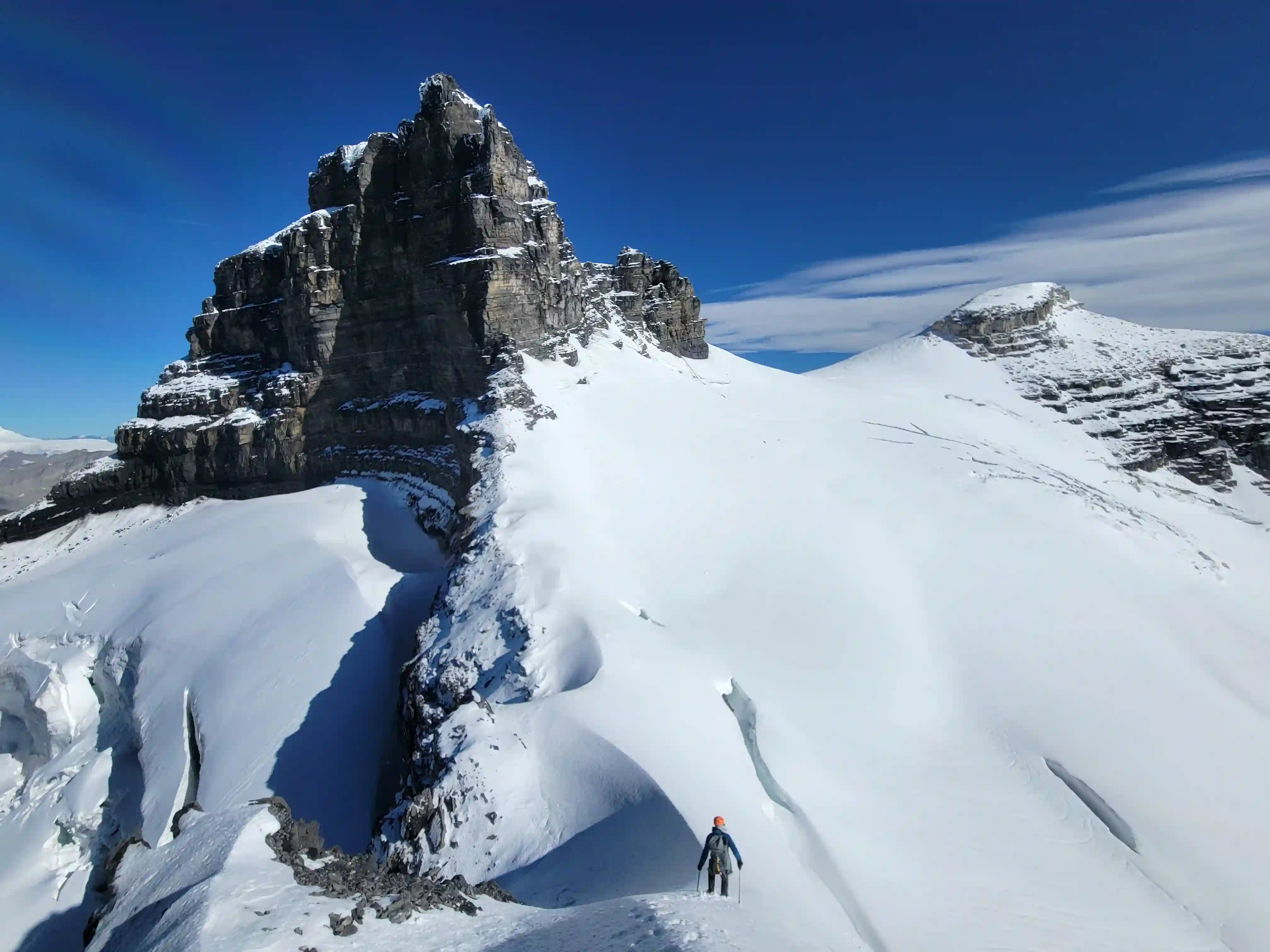
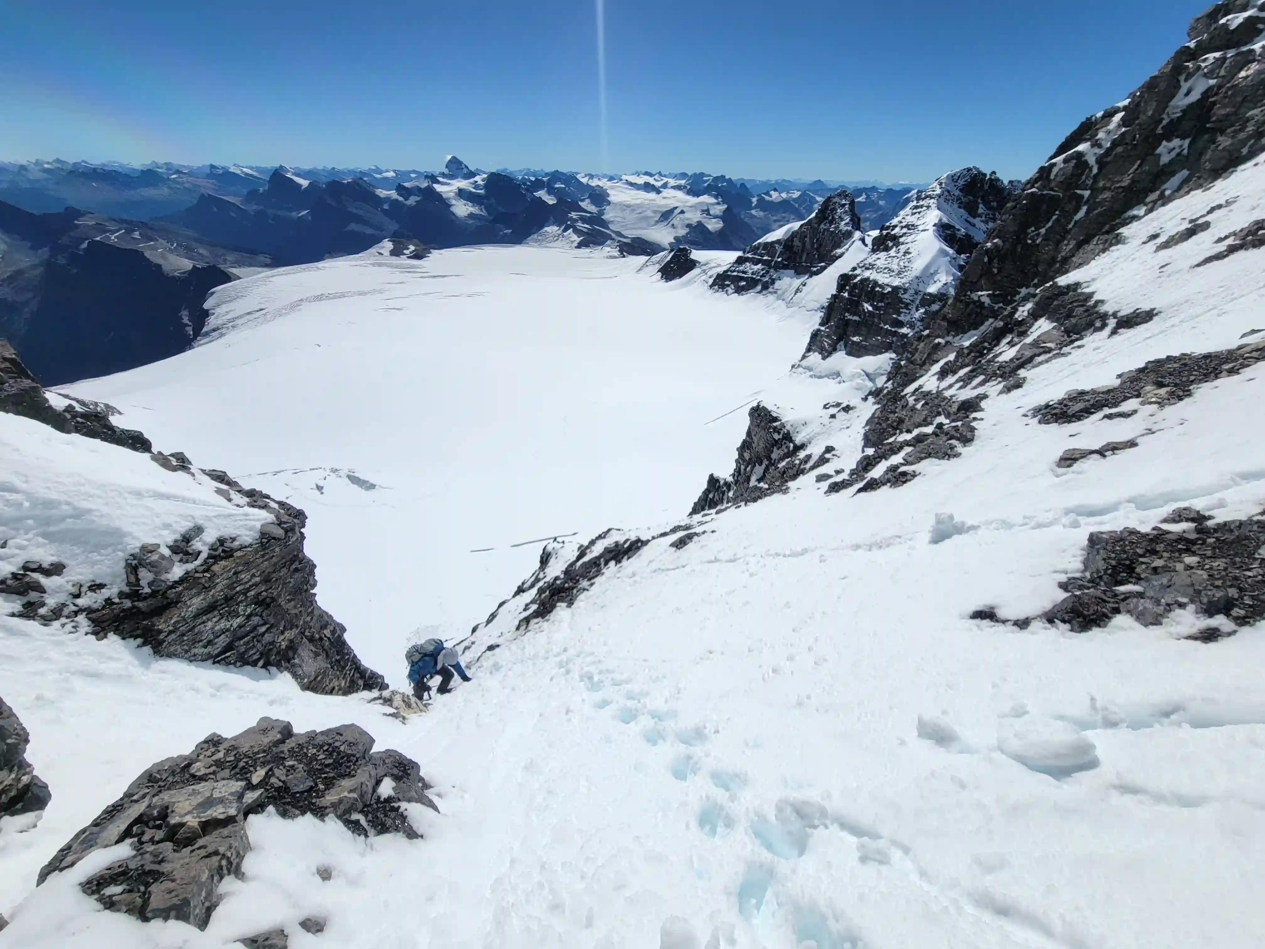
By the time we reached the summit of Lyell 5 it was fully bluebird conditions in the immediate area and the idea of reversing the traverse from Lyell 4 to 5 that Darren and I had kept in mind seemed like it might actually be a possibility given the fantastic conditions. Around then is when Darren noticed a snow line up Lyell 3 on its SW aspect that might go and that hope was enough to convince us that we still had a chance of getting all 5 of The Lyells in one trip so we were extremely motivated to do the traverse. The first couple sections of the north ridge of Lyell 5 ended up being quite committing with fatal consequence in the event of a fall so Brent and Josiane decided to turn back and planned to head up for Lyell 3 using the approach we took the day prior while Darren and I pressed on.
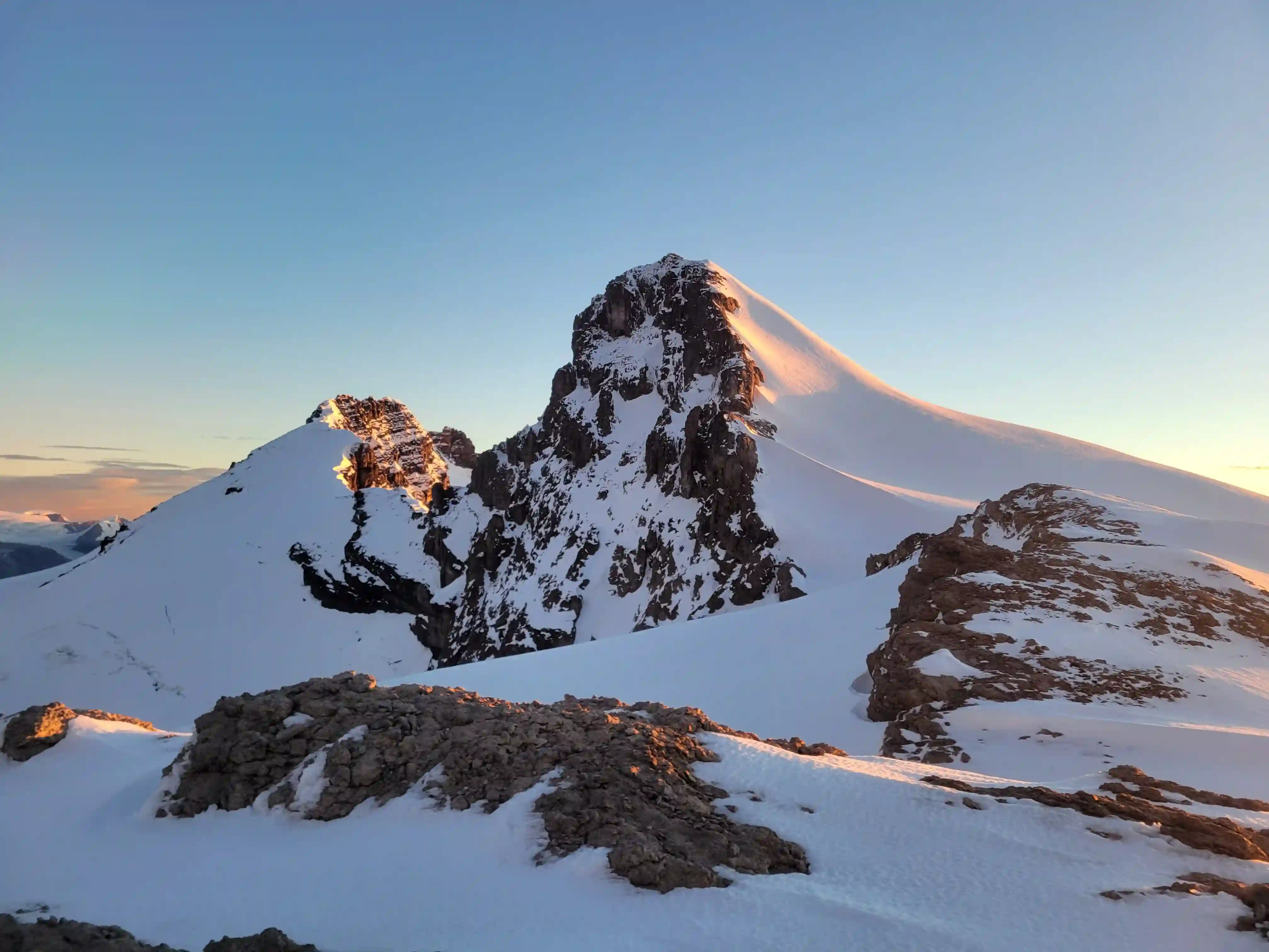
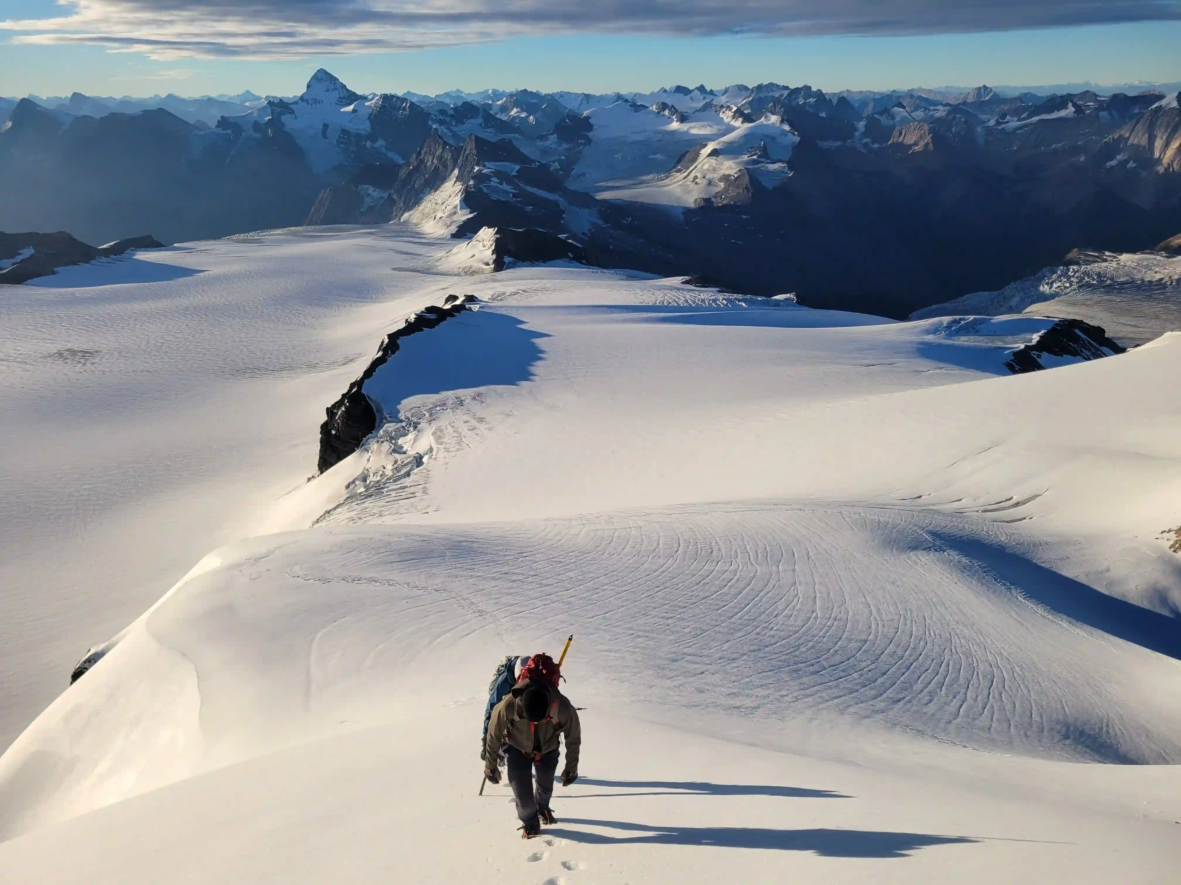
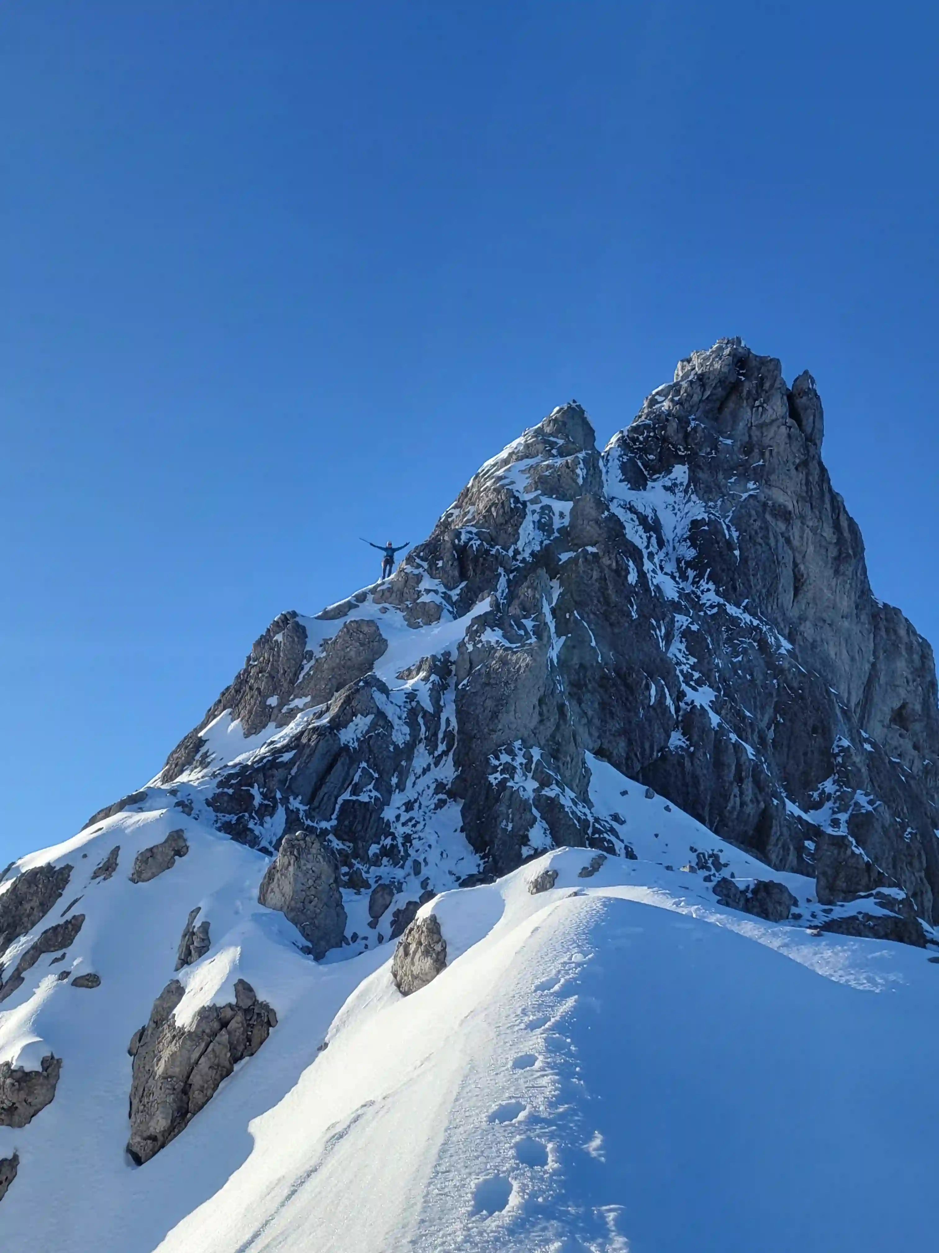
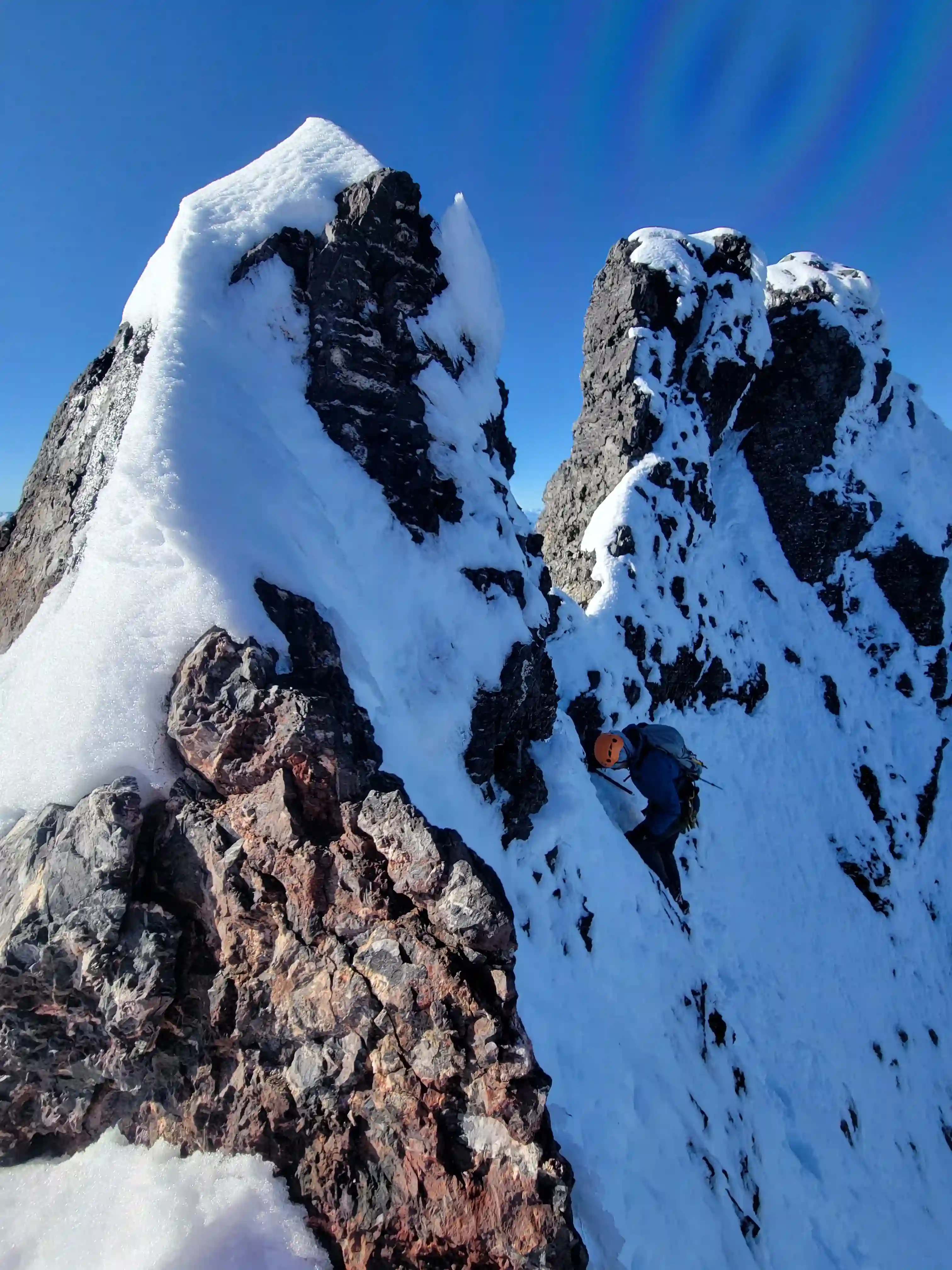
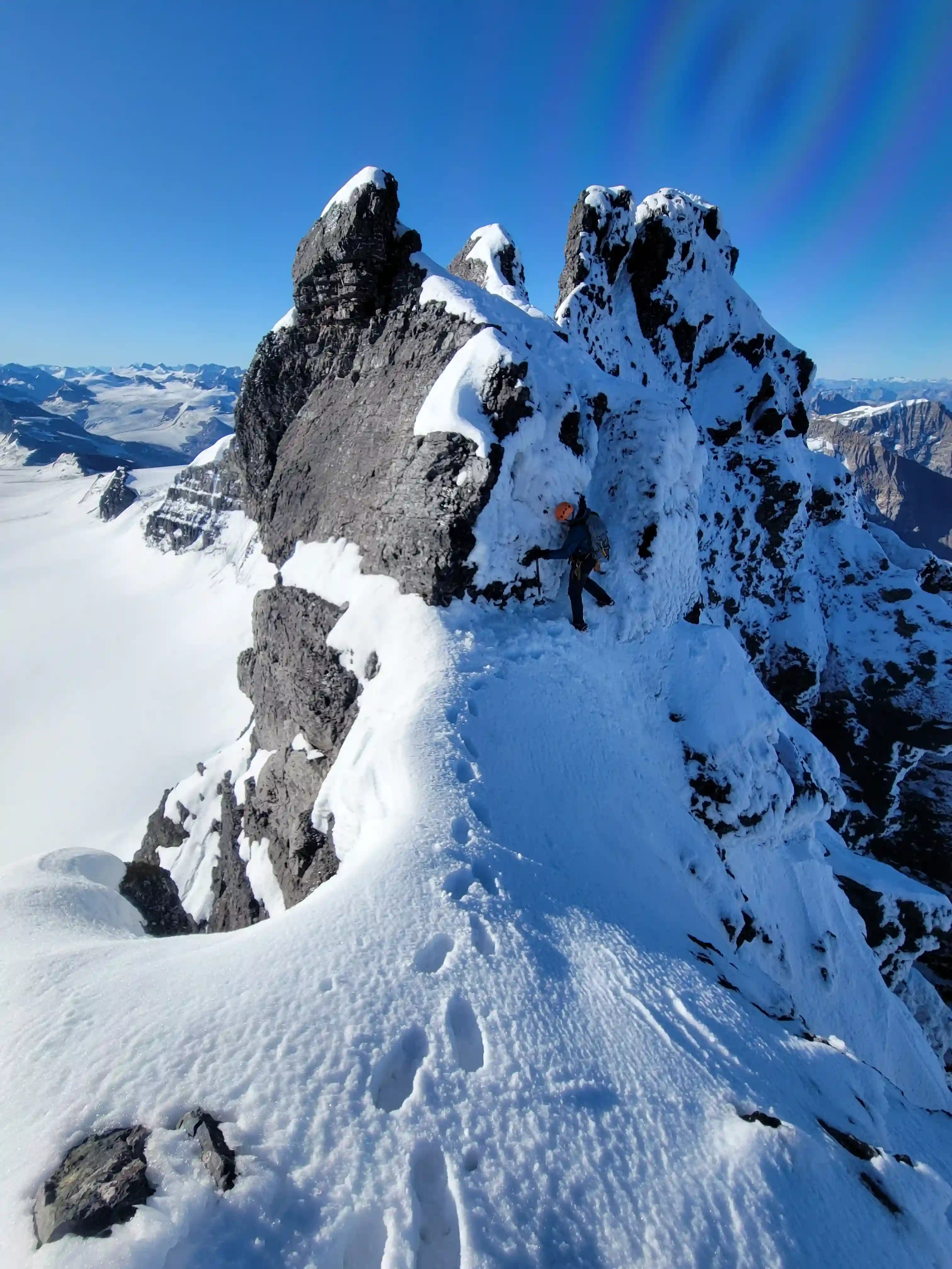
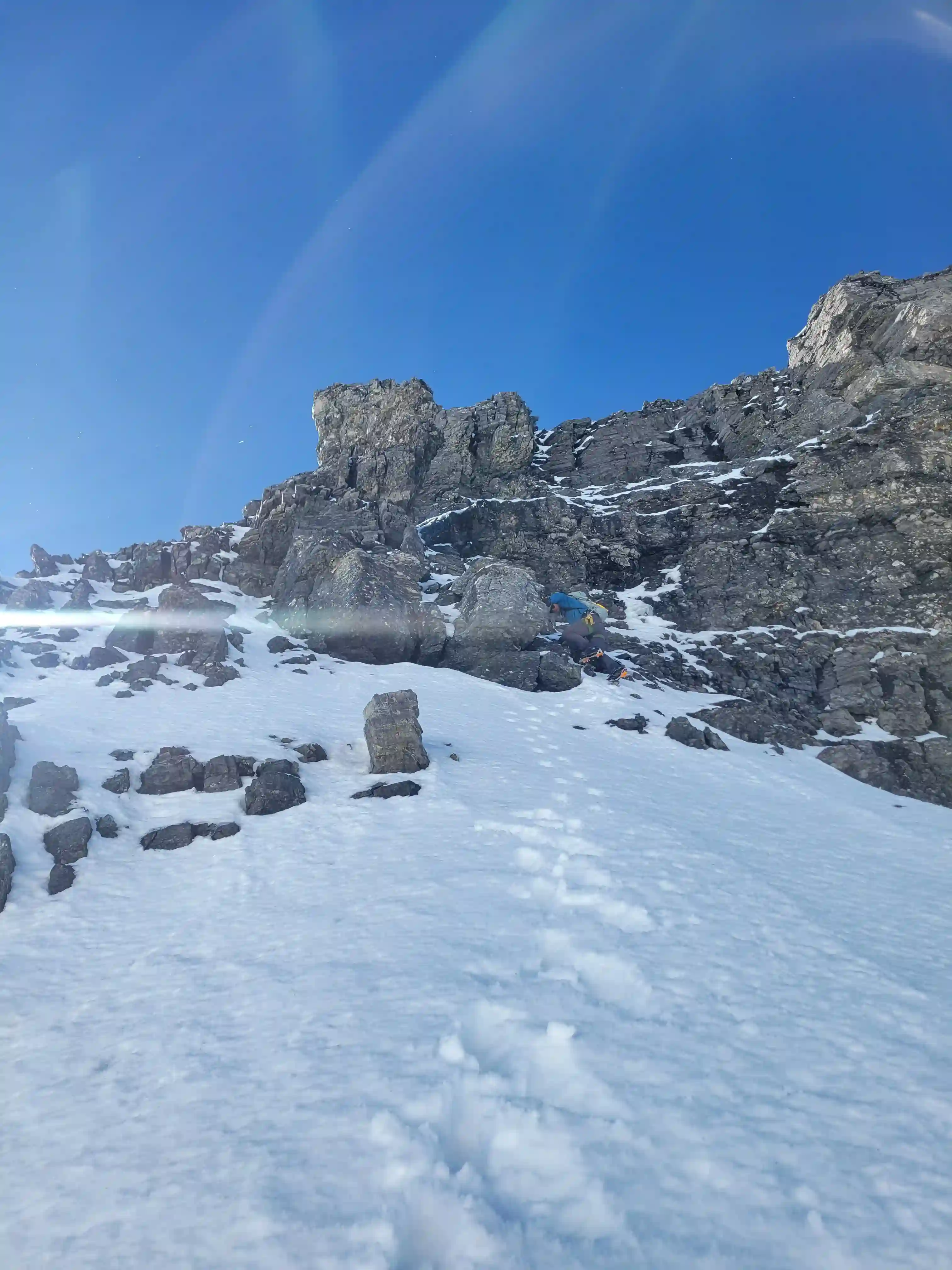
The traverse ended up being quite technical with significant exposure off of the upper north ridge of Lyell 5 and some somewhat technical mixed climbing. The section between the peaks was an easy walk but by the time we reached the rocky ridge of Lyell 4 things got serious again and we had to do some exposed moves and a number of detours onto the west side of the ridge to avoid large pinnacles. After all that descending the north ridge of Lyell 4, although exposed didn't seem all that bad and Darren and I both ended up downclimbing the entire thing. Next, from the Lyell 3-4 col we headed for the snowy line we had scoped out. There was also a bergshrund present on this aspect but a rocky section allowed us to gain it relatively easily and then after a bit of traversing on mixed terrain it was an easy couloir esc climb to the summit ridge of Lyell 3!
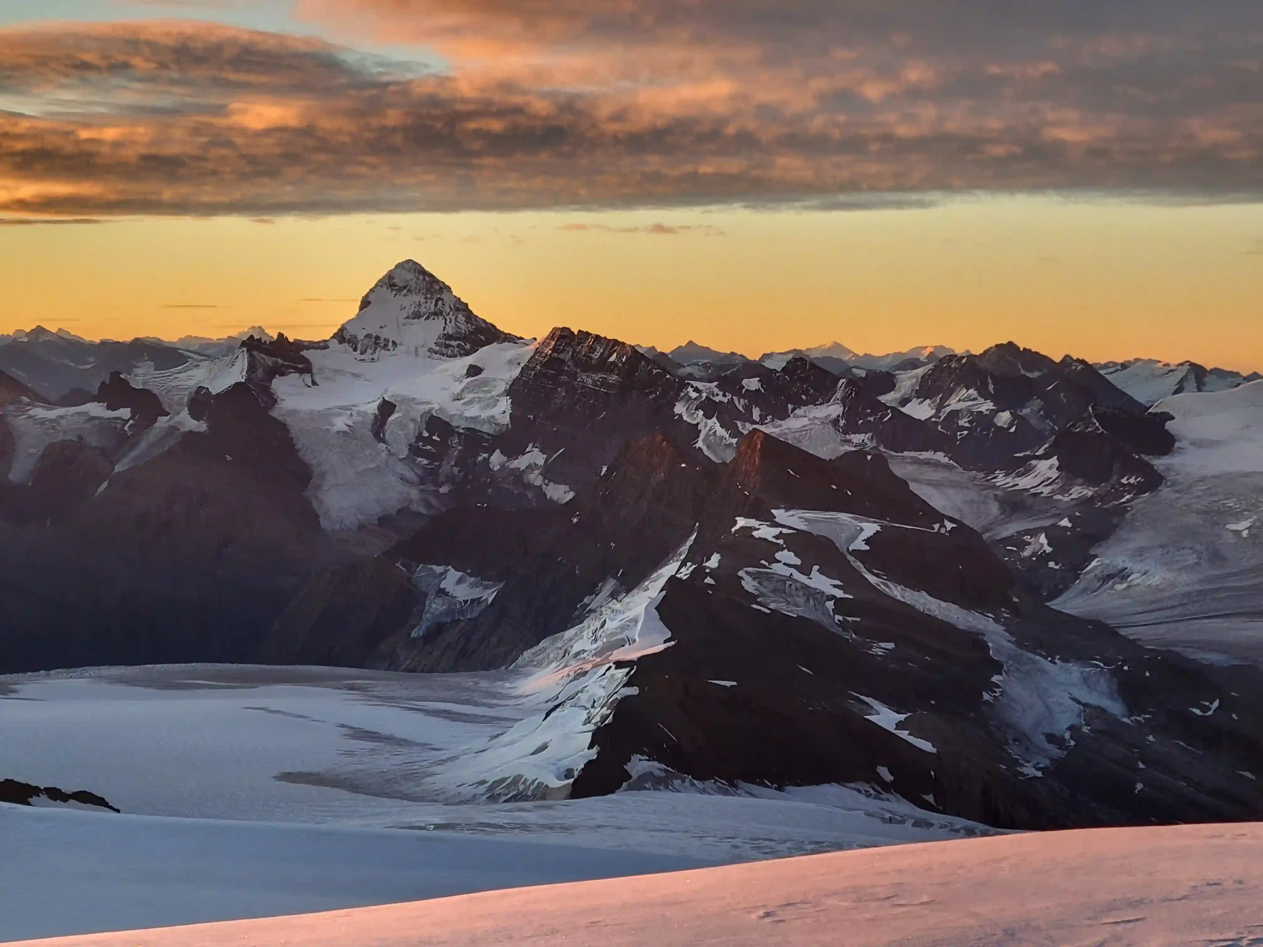
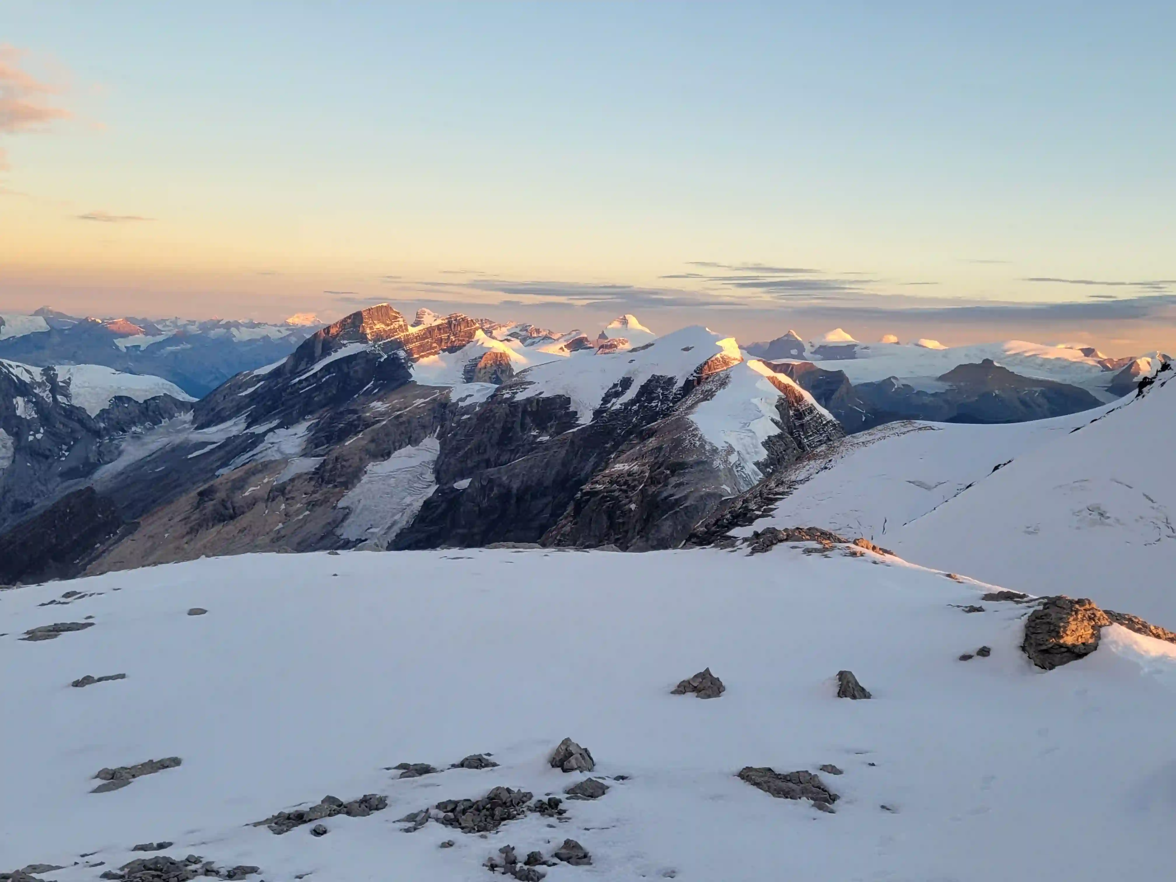
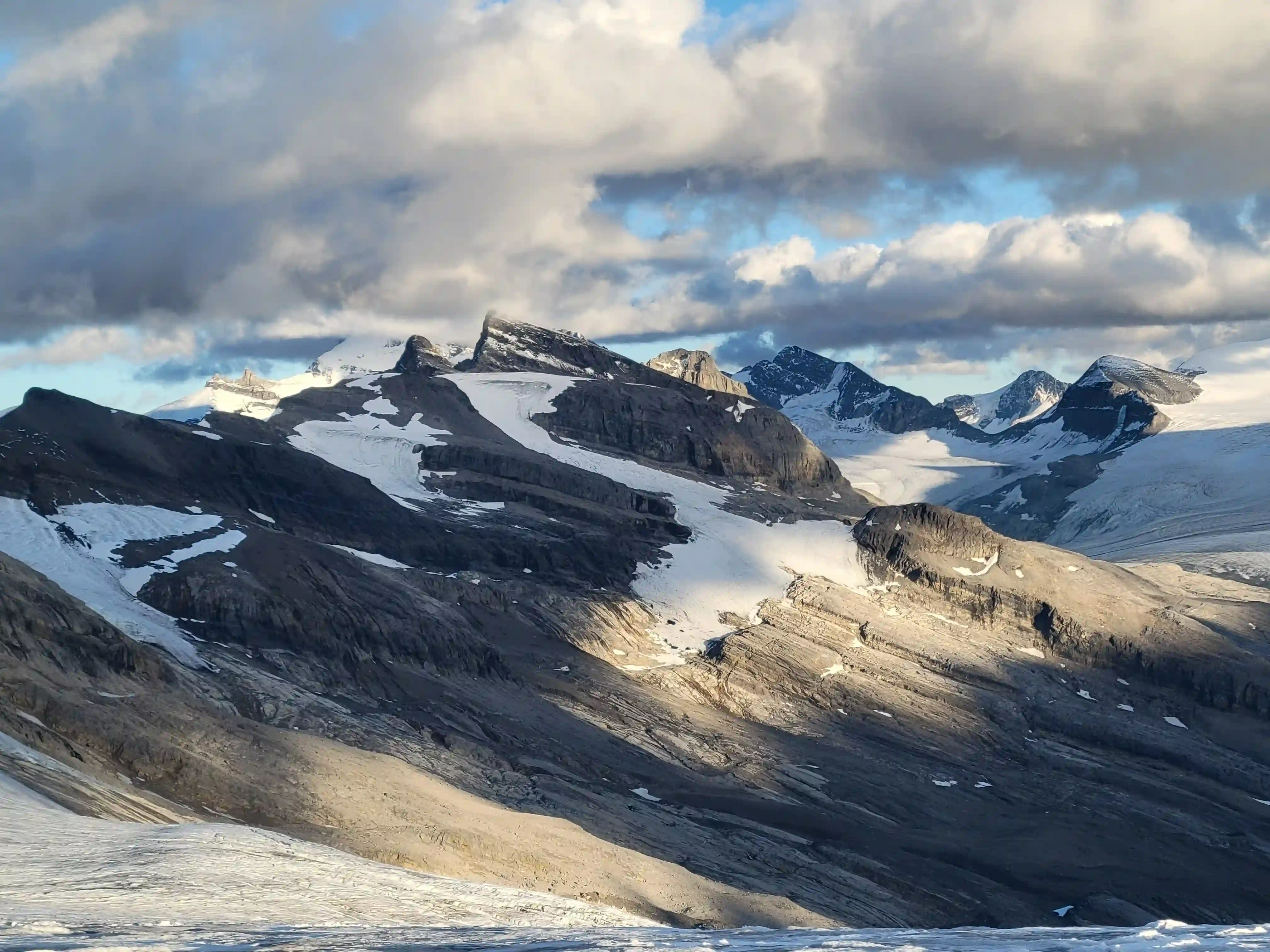
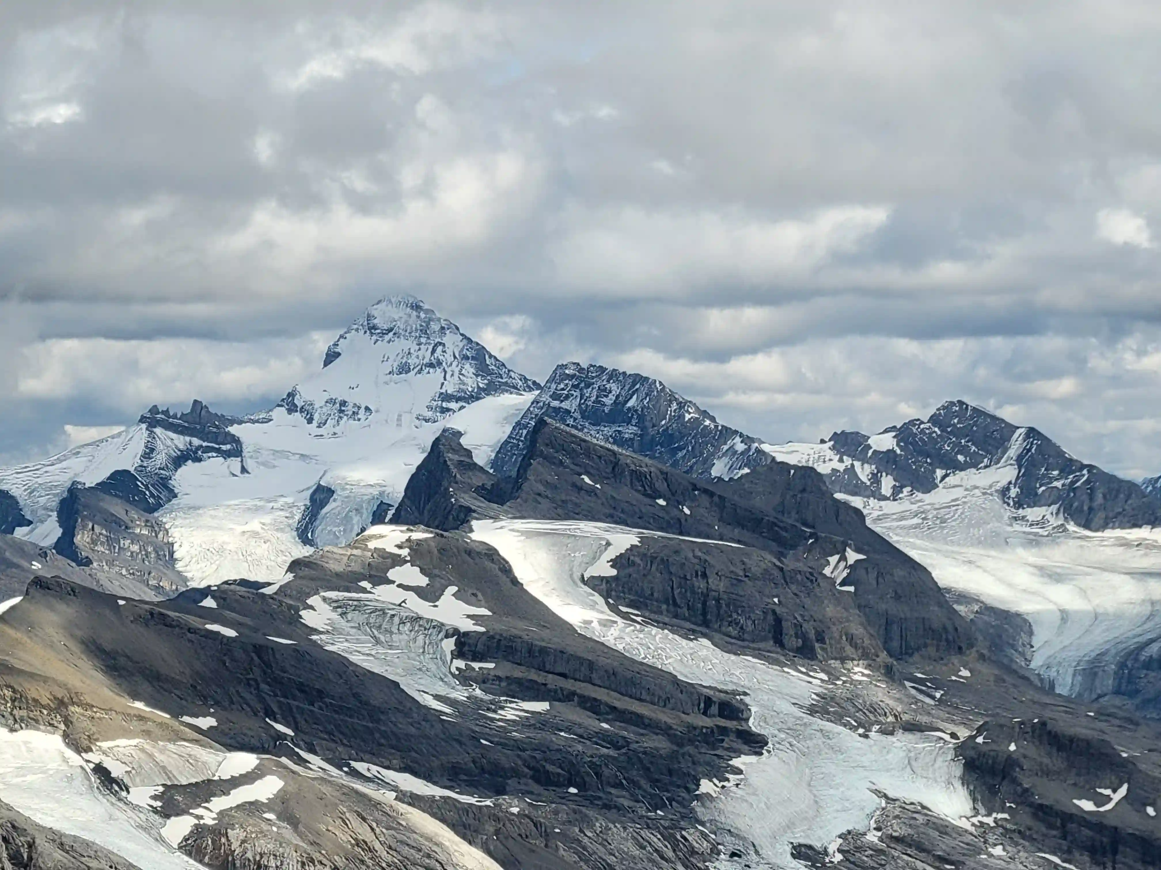
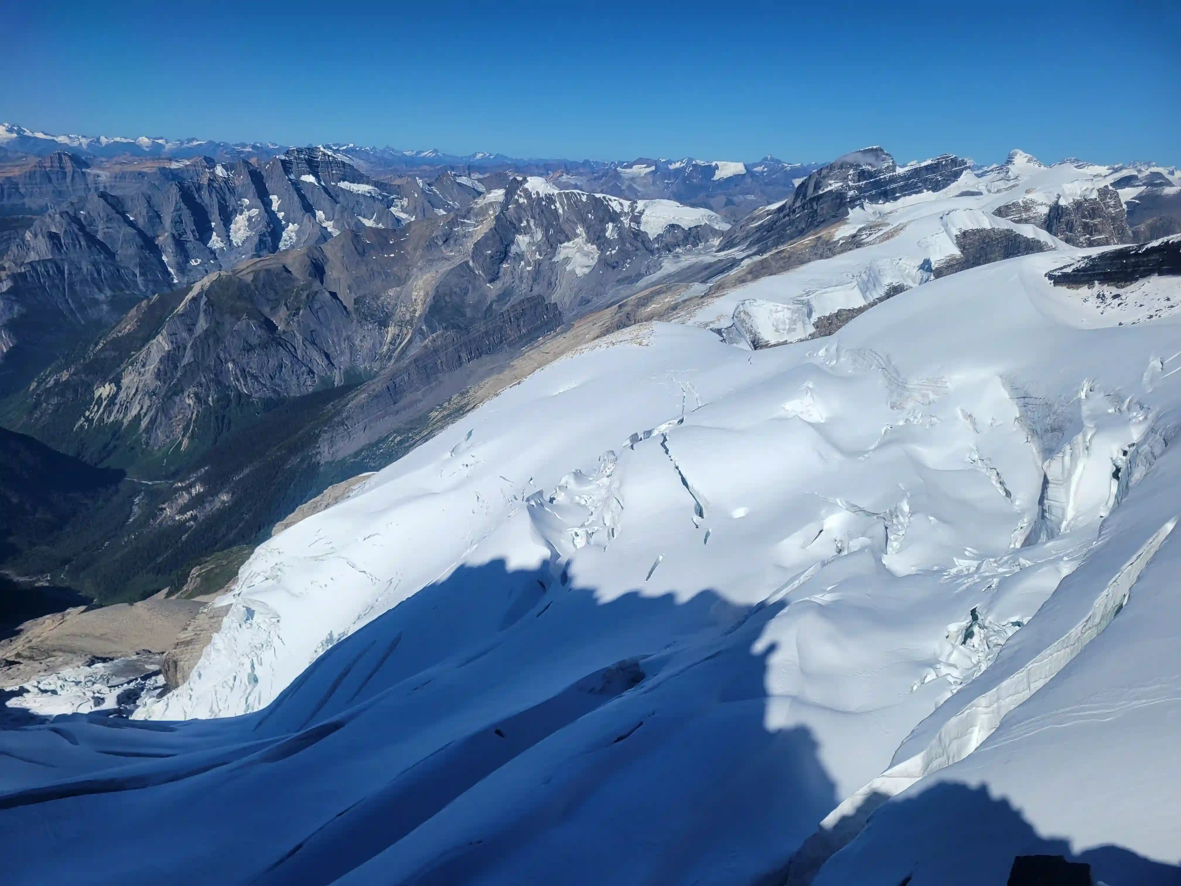
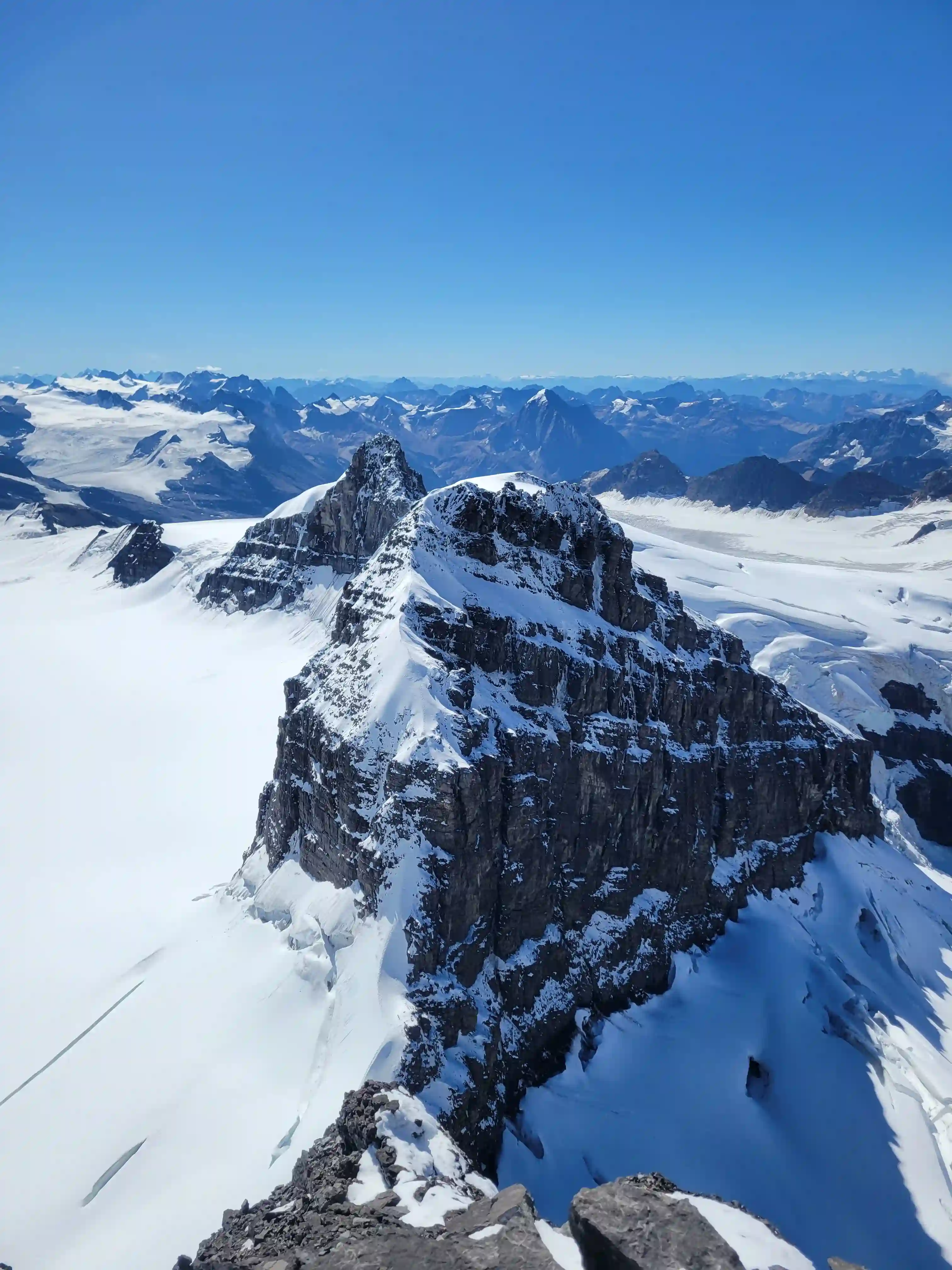
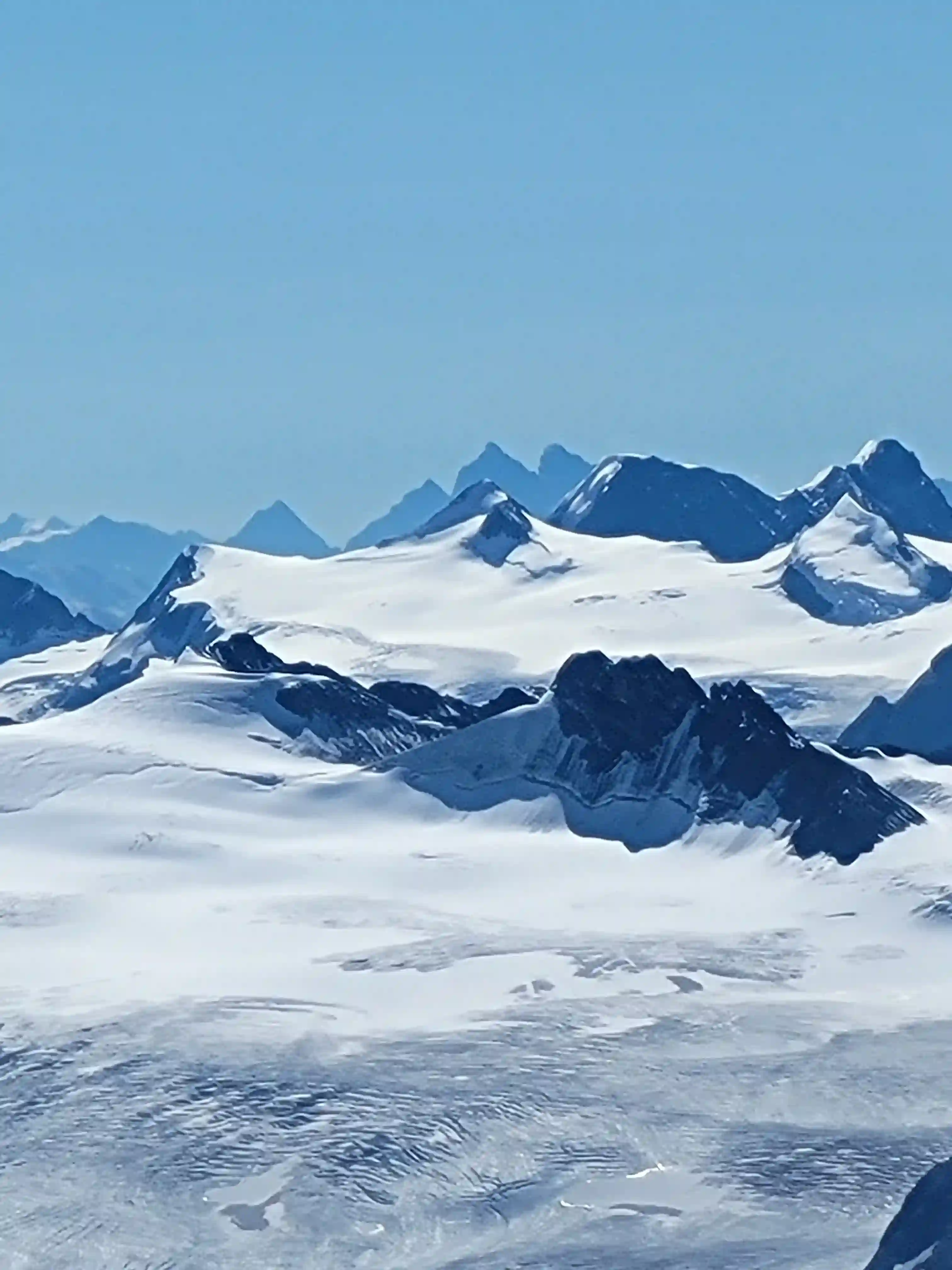
nearly all of the Columbia Icefield 11000ers in sight
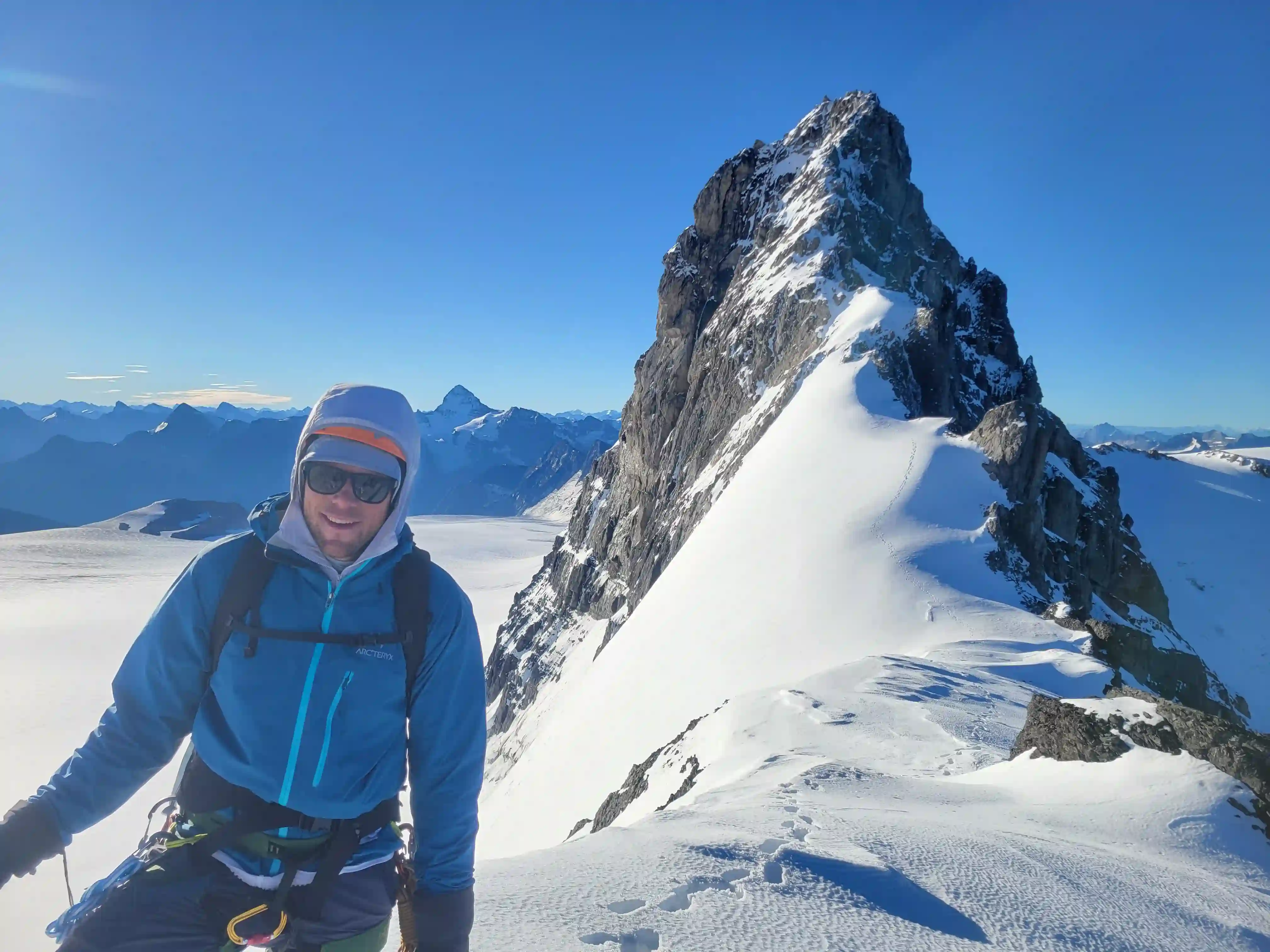
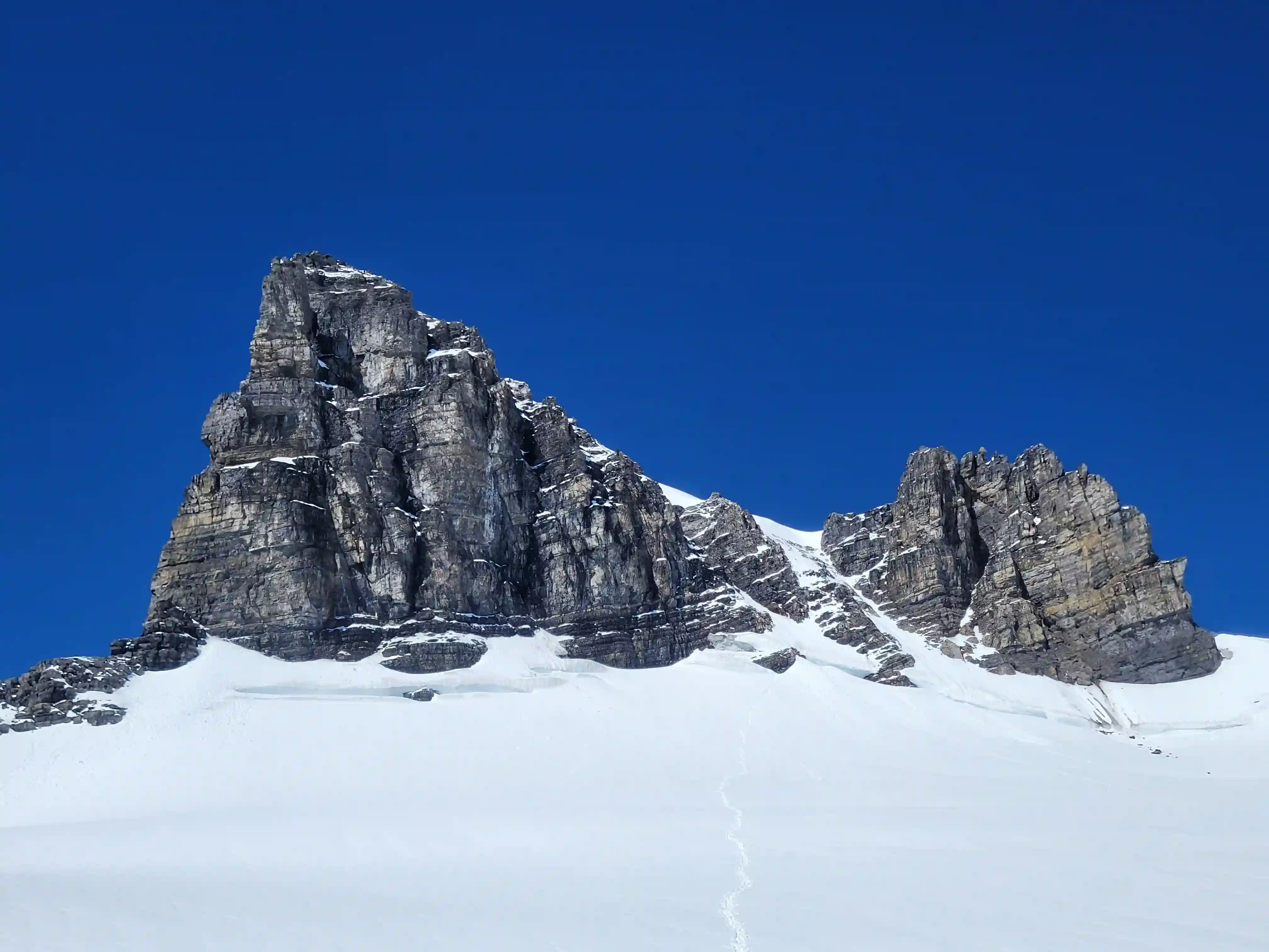
WALTER PEAK (LYELL 4)
3400m, 11155ft
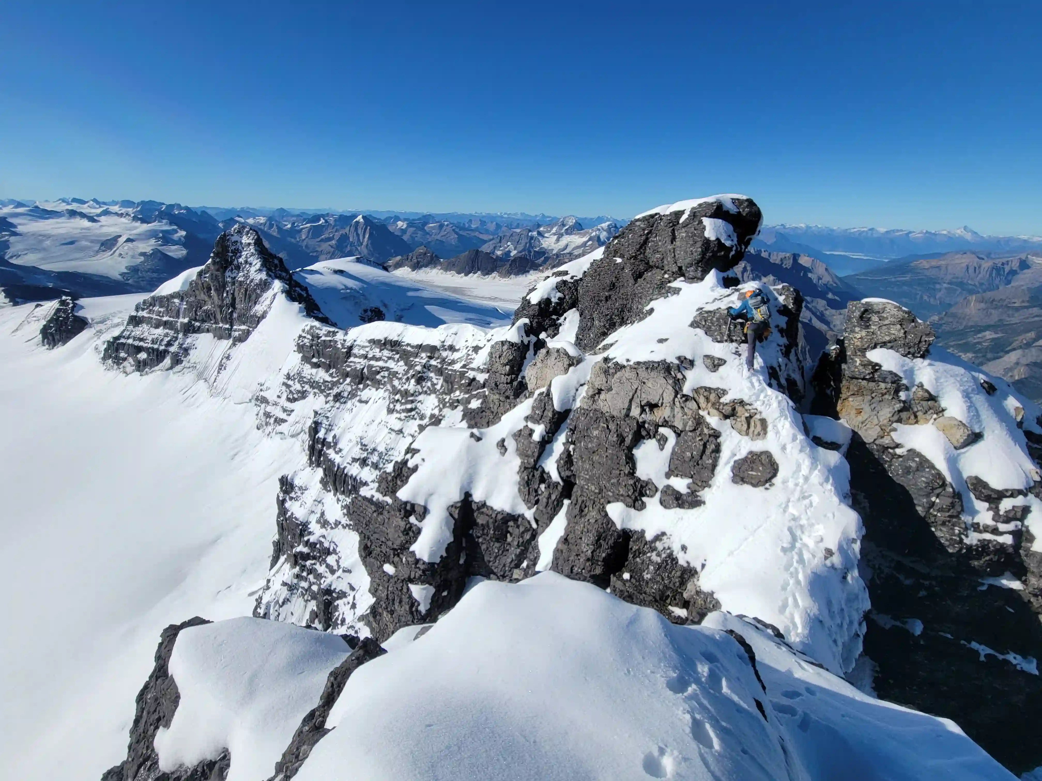
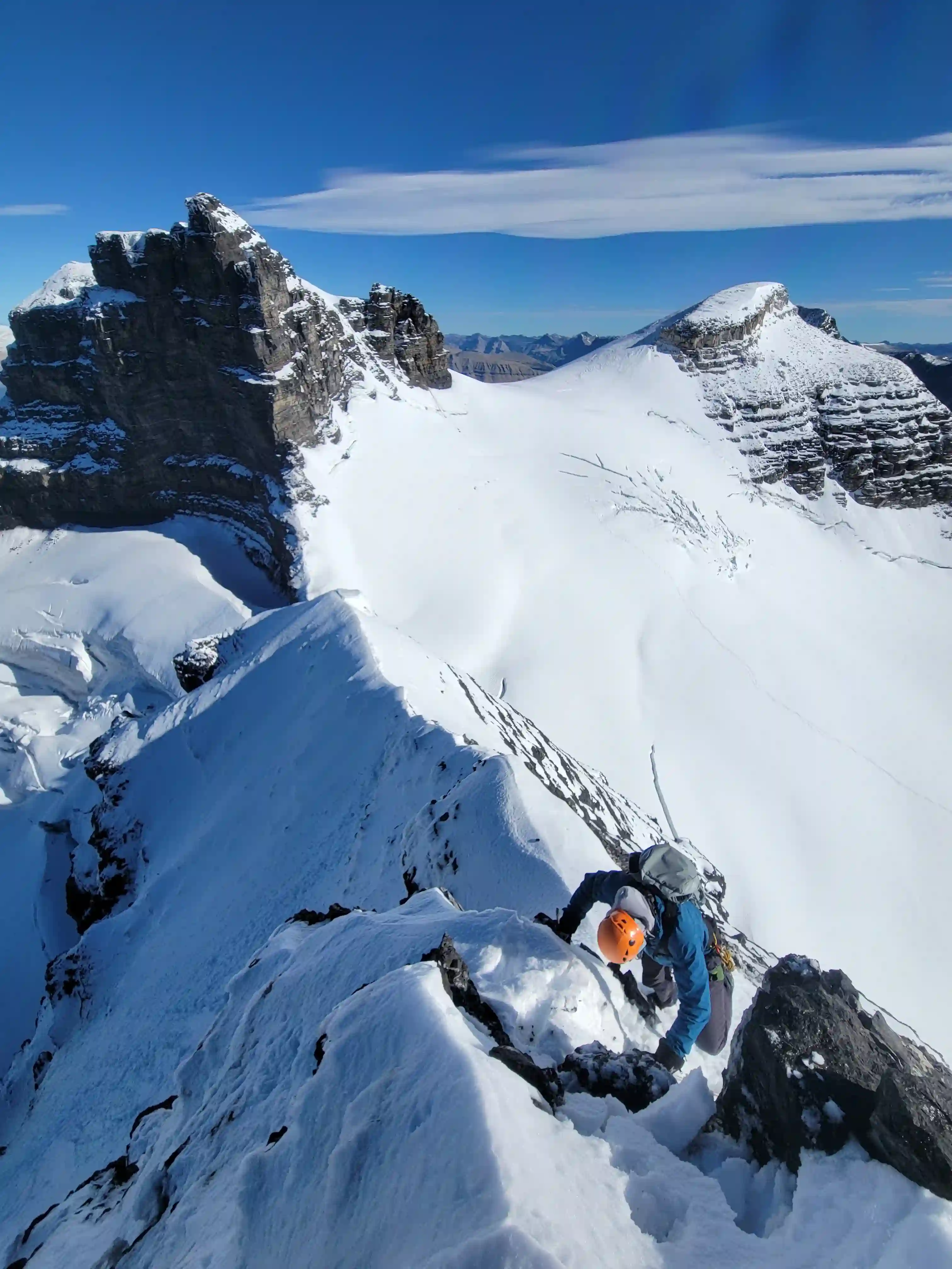
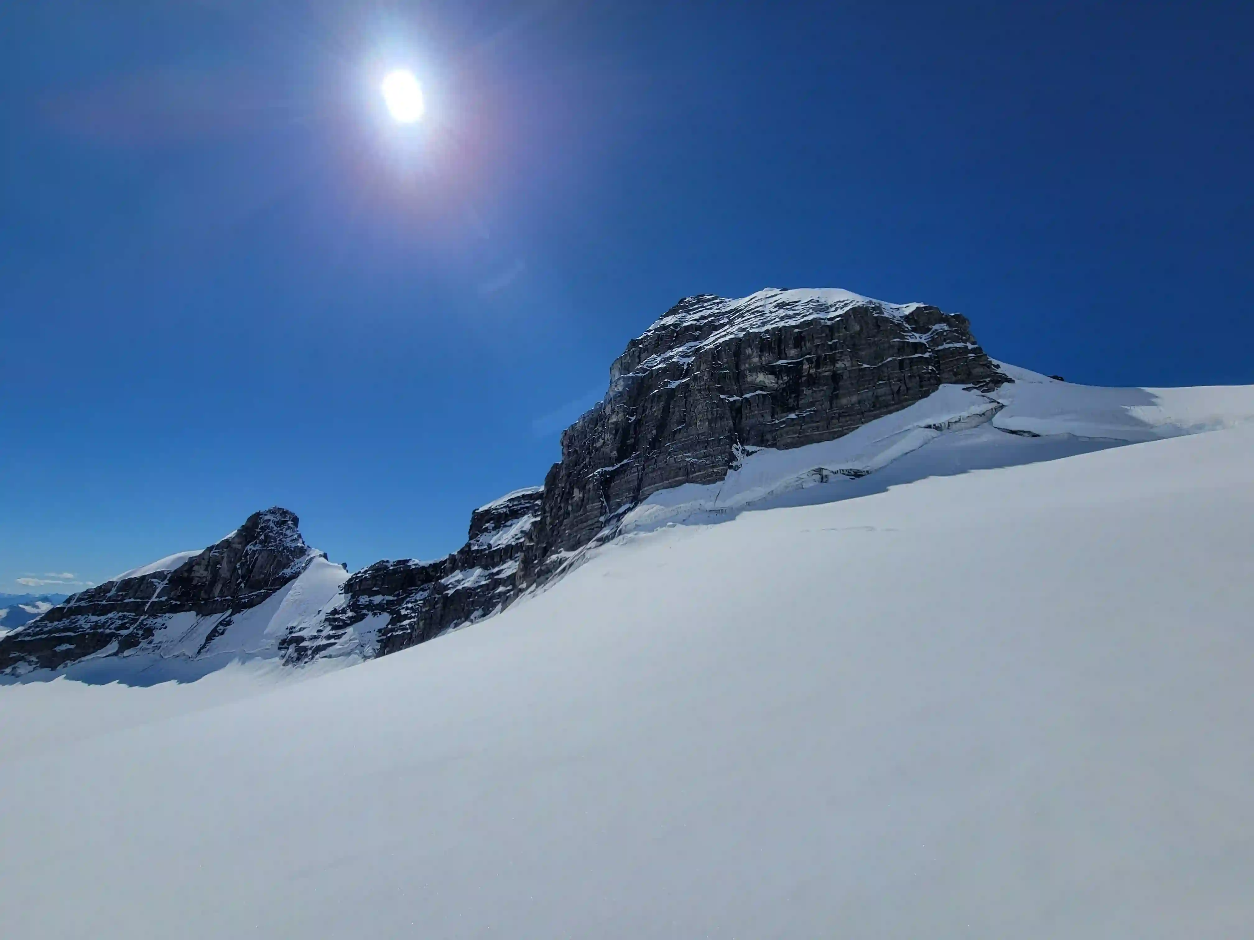
ERNEST PEAK (LYELL 3)
3511m, 11519ft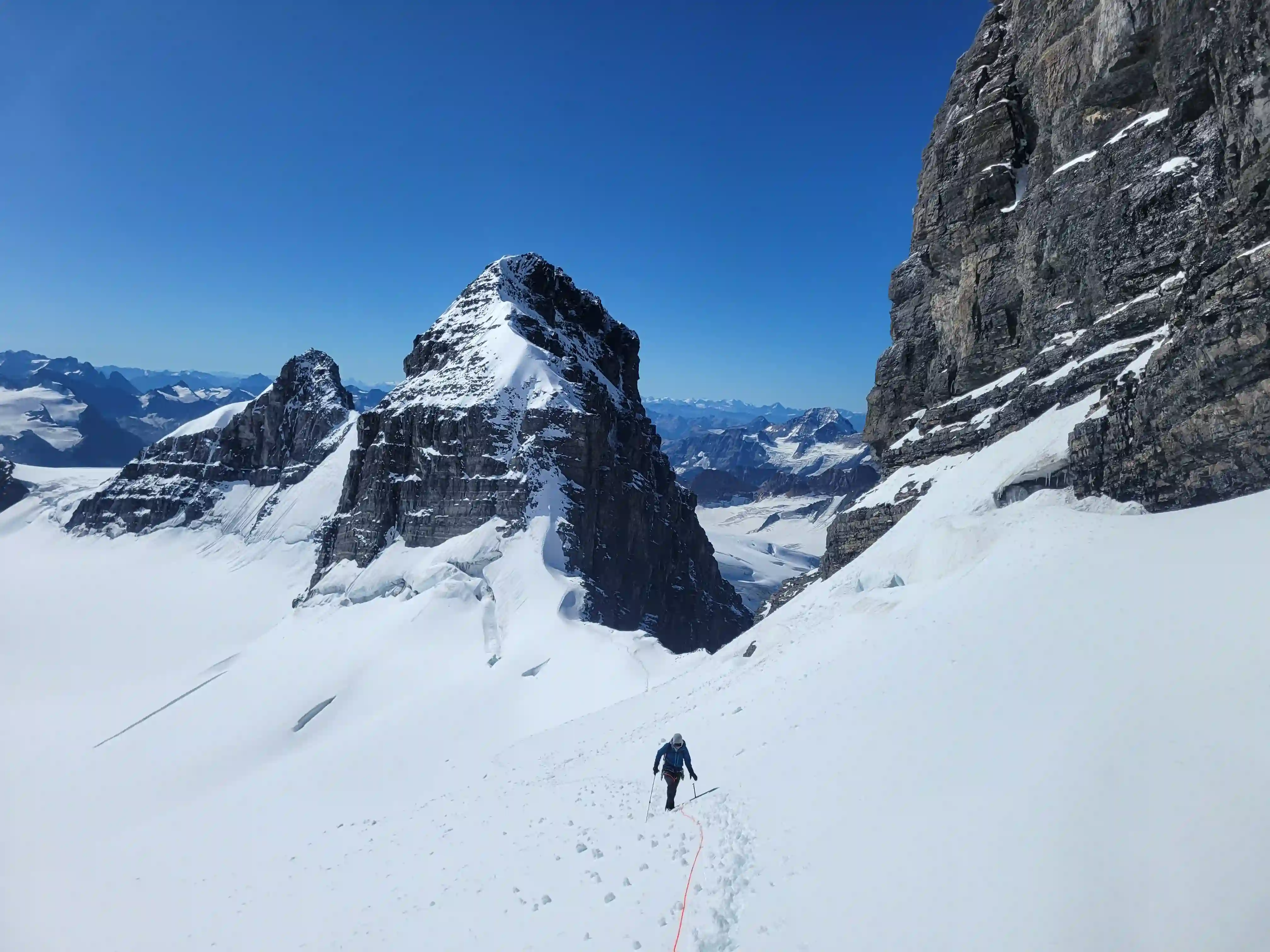
11000er and my 18th
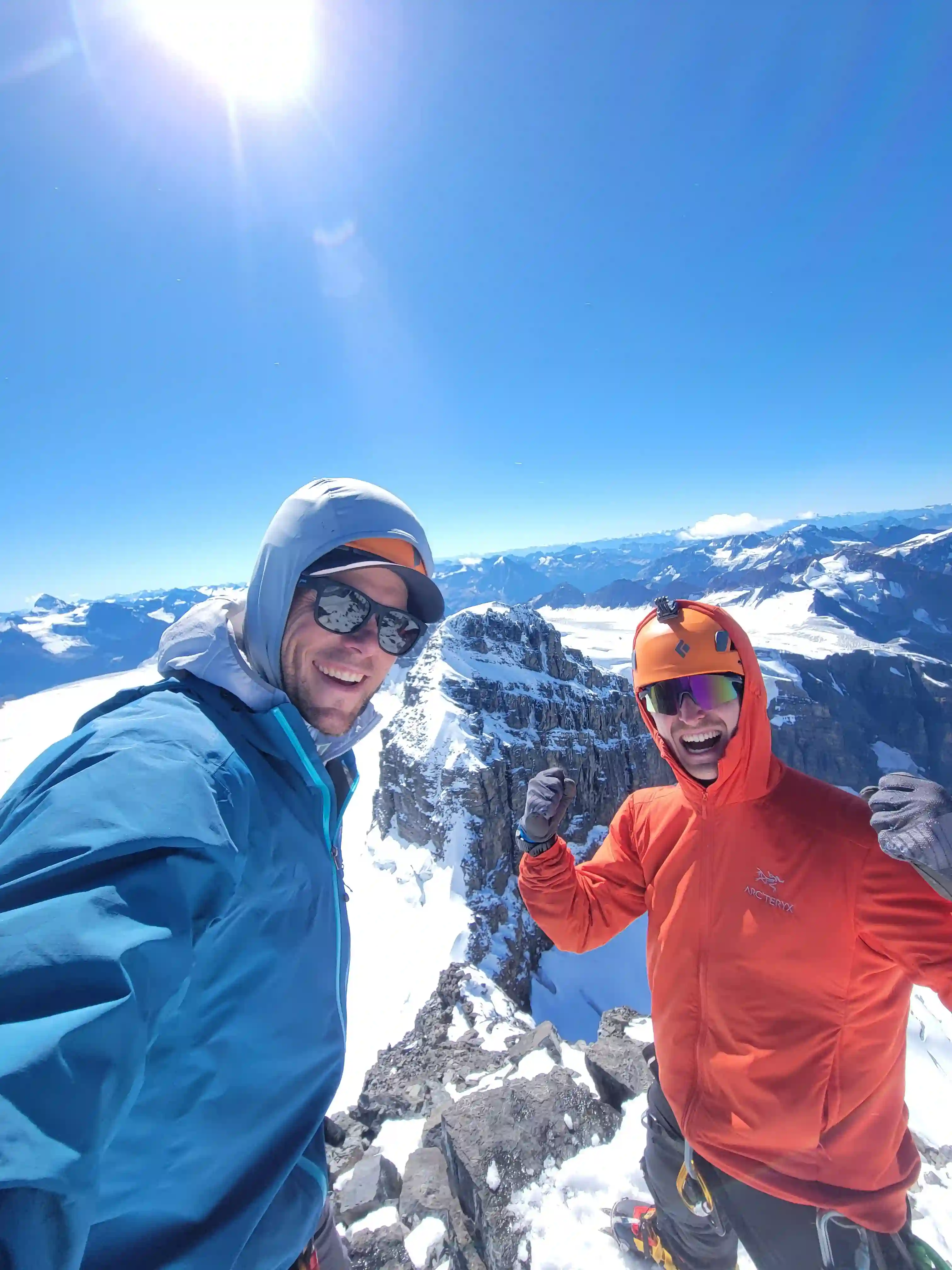
Reaching the top of Lyell 3 was some of the best summit stoke I've ever felt especially given that I had told myself we wouldn't be getting it the day before due to the state of the bergshrund, and knowing that we wouldn't have to do the huge approach again to get the last of The Lyells was a hell of a feeling. Darren and I were also blown away that a route we had scoped out from afar ended up working out, we used our routefinding abilities and made it happen so we couldn't have been happier!
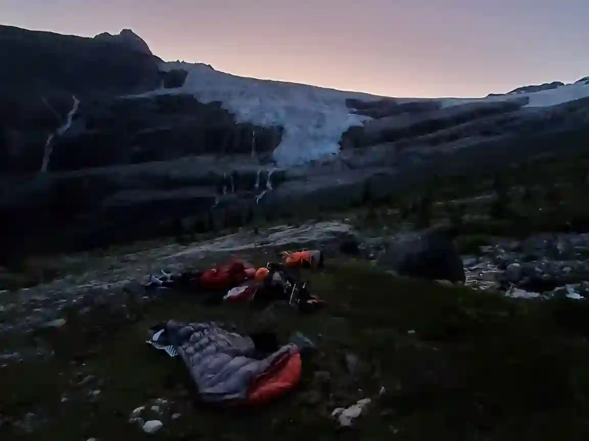
After taking in the summit views for a while we decided to head down and after getting back onto the main glacier met up with Brent and Josiane on their way up for Lyell 3 and said our goodbyes before heading back to the hut before our exit. Darren and I had thought we might be able to exit all the way to the FSR on the same day but this was an unrealistic expectation as it was starting to get dark by the time we reached the alpine meadow on the way down. We decided to cowboy camp there since it was a nice spot, the weather was clear, and there was a lower chance of bears messing with us in the alpine, and the next morning after finishing the little food we had left we wrapped up the exit on tired legs.
Into trips like this?
I'll send you an email whenever I publish a new trip report.
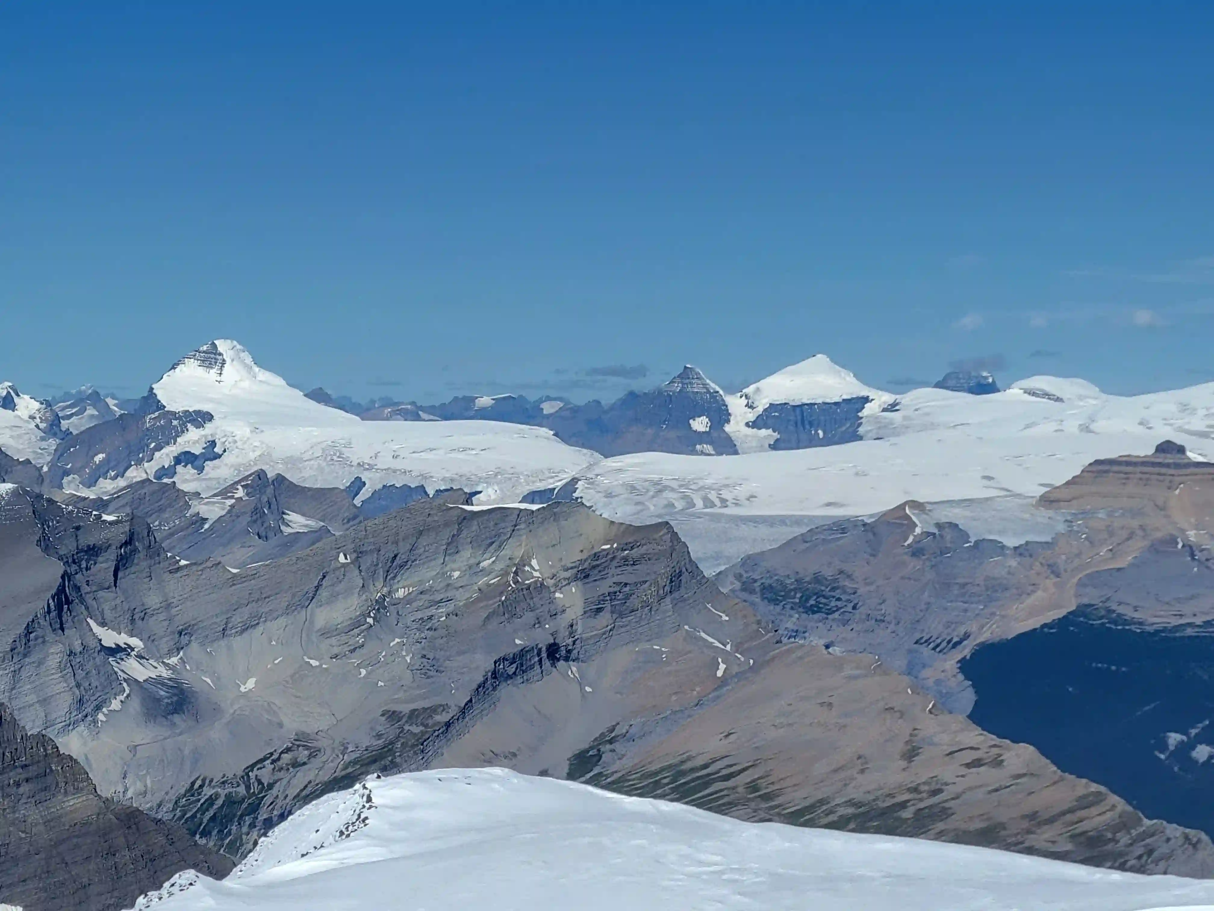
Huber, and Hungabee, bagged all but
Victoria North in the last month!
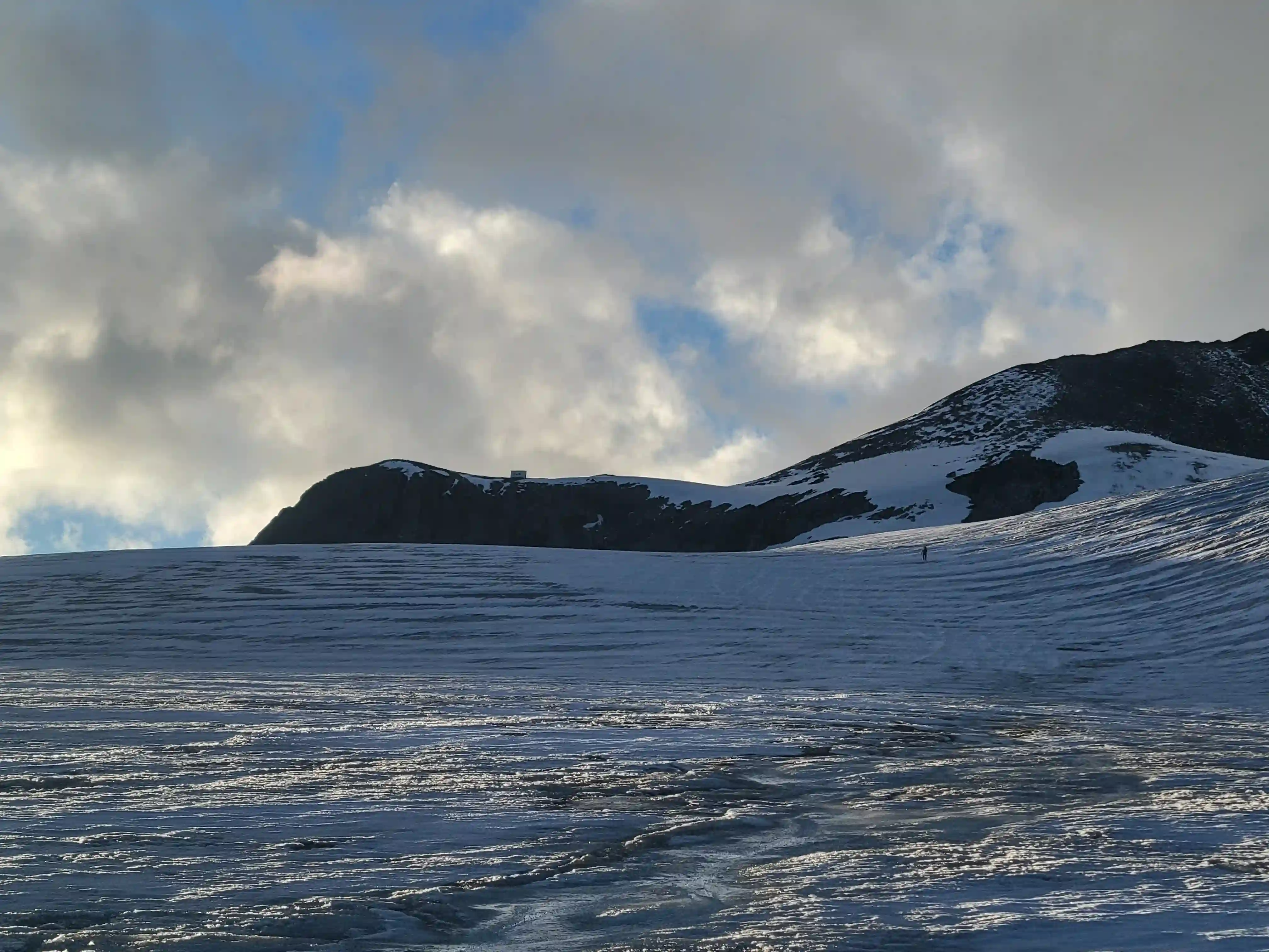
broken up, was up there in June
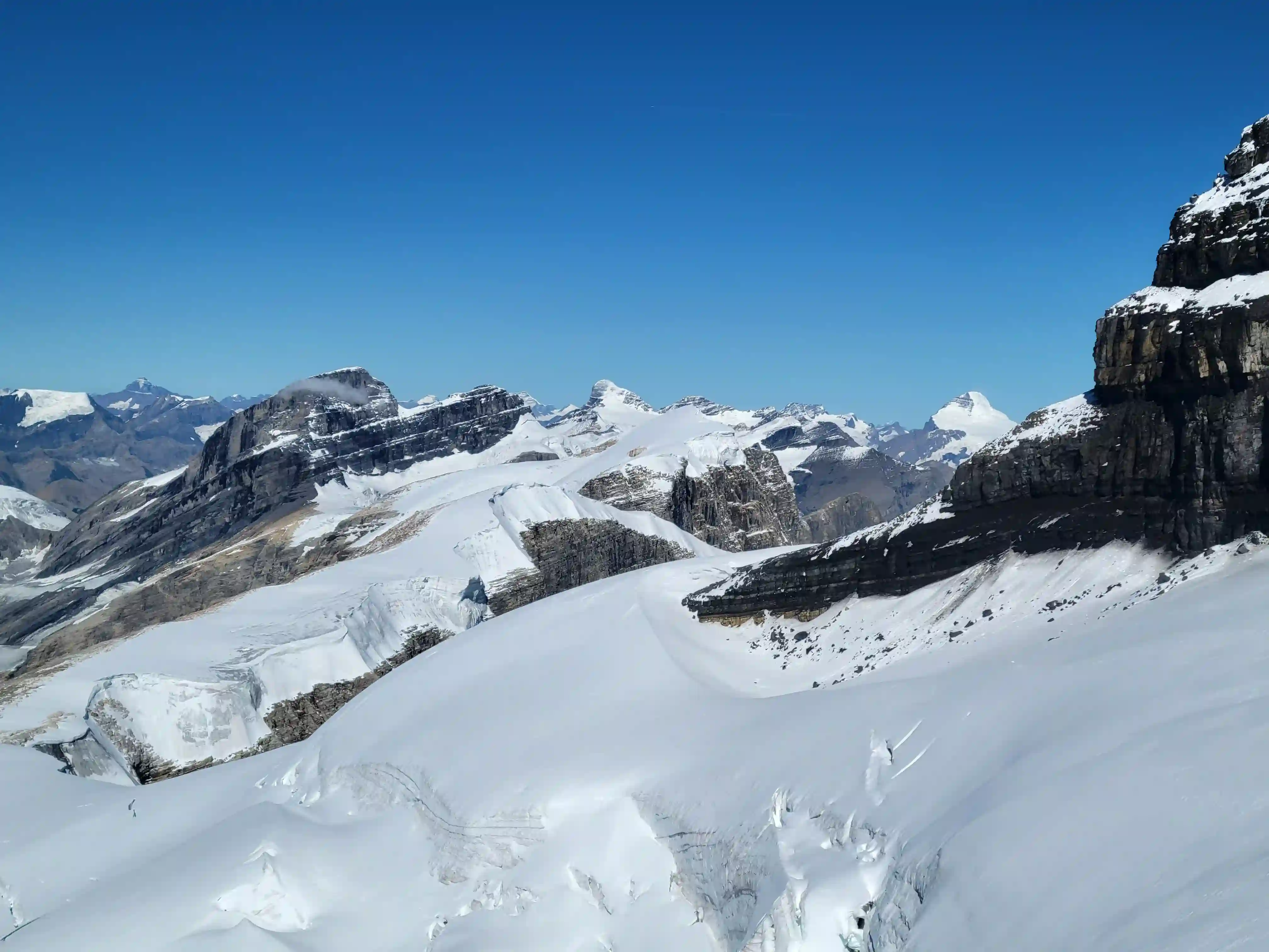
sight, some of our tracks from yesterday
are visible though
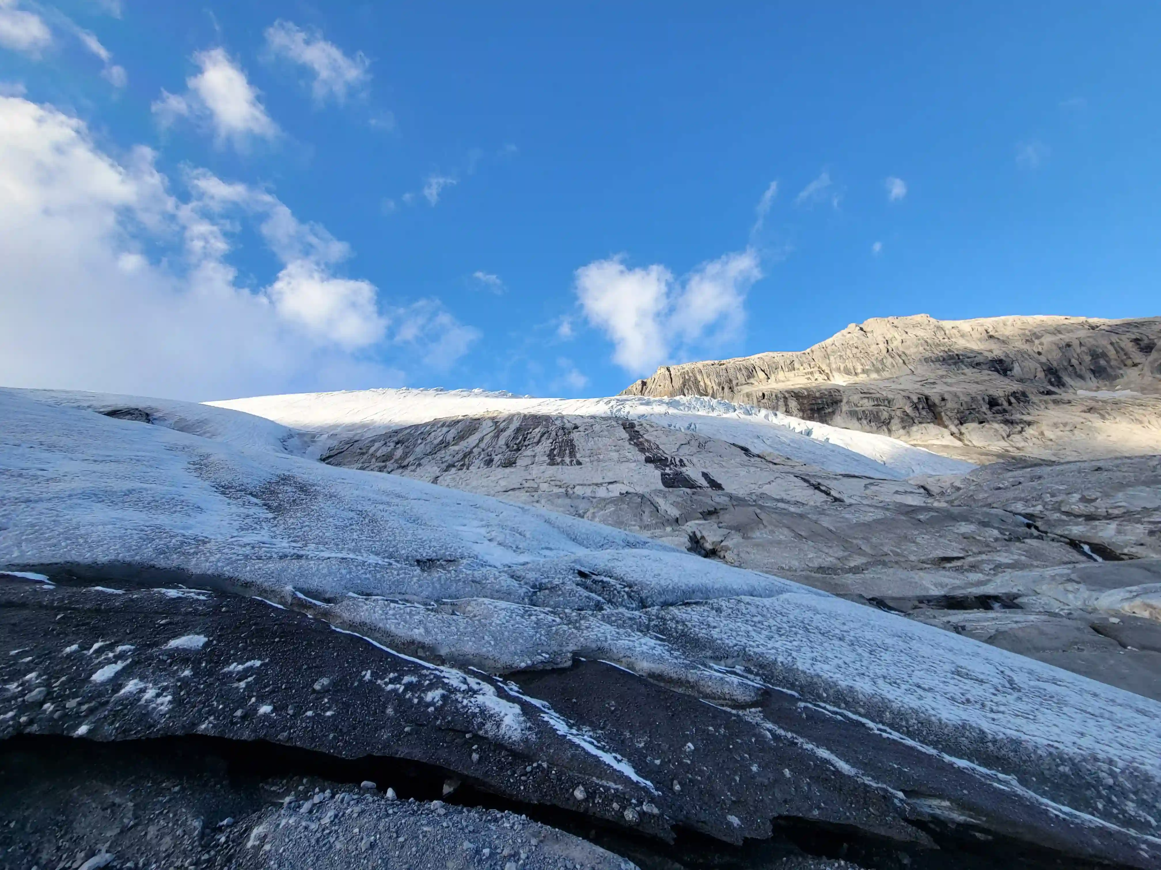
THE EXIT
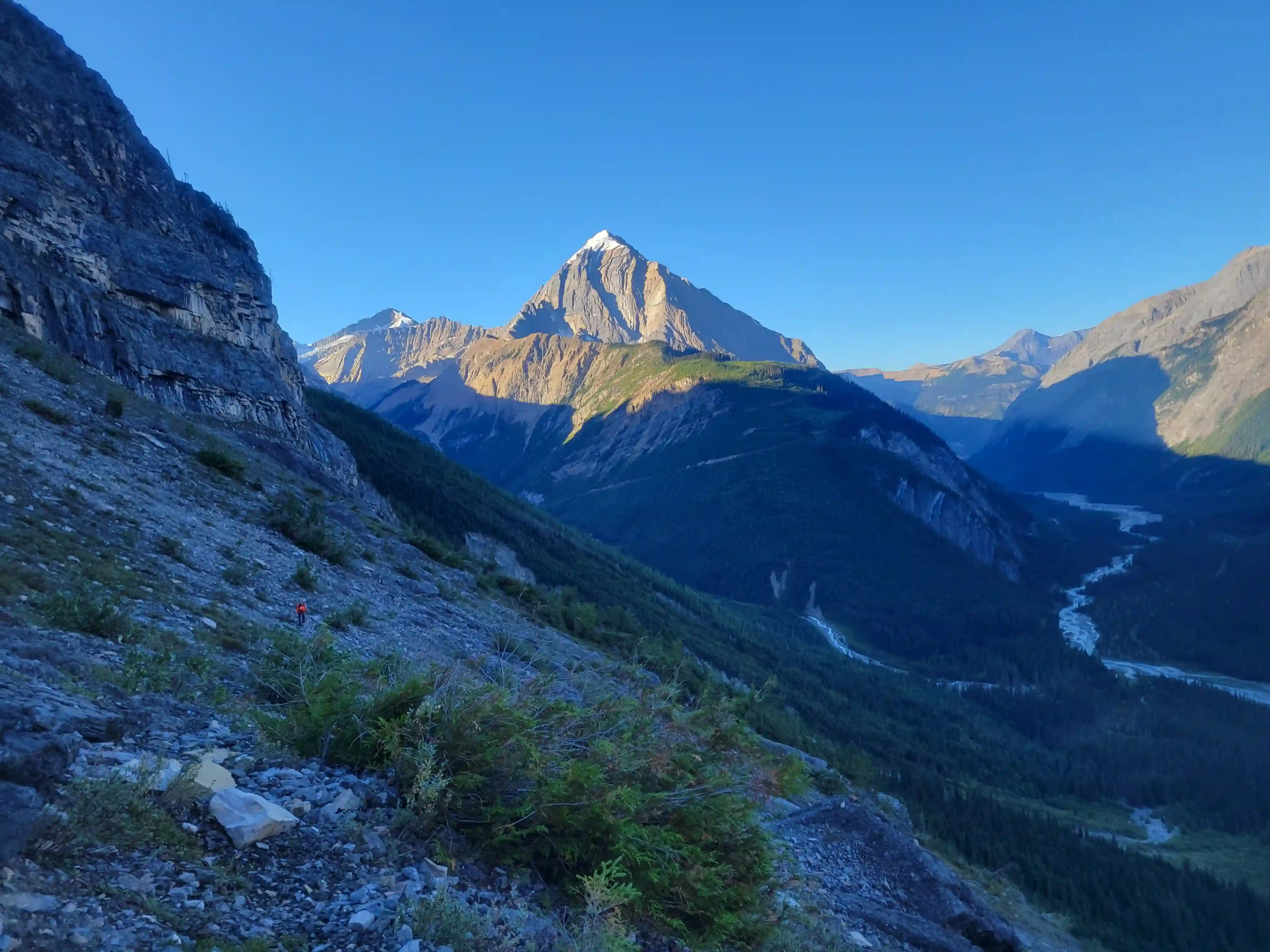
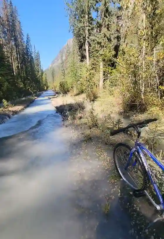
FSR on the way out
This trip ended up being my last 11000er outing of 2024 and it doesn't get much better than that! Big shout out to Darren, Josiane, and Brent for the numerous outings we teamed up for, we got after it! All in all as of
Mount Forbes
on June 9 2024 my mountaineering skills had come a huge way and I definitely would not have expected to be sending objectives like
Hungabee Mountain,
Mount Lefroy,
or The Lyells just a few months later but steadily upping the ante over the years served to put me right where I needed to be to push my limits for this list.
Following this trip my 11000er count was sitting at 18/58 and checking off a technical set of objectives like The Lyells to wrap up the year added fuel to the fire for getting after it again in 2025 once the biathlon season came to a close. Come Spring 2025 I was very keen to get back above 11000 feet and what followed was a legendary run of trips attacking the 11000er list, starting with a trip up
Snow Dome and Kitchener
via the Saskatchewan Glacier with Brent to set the tone for what was to come in 2025!
Follow the full progression
I'm working through all 58 11000ers of the Canadian Rockies and beyond. You'll get notified when the latest climbs go live.
Other related trip reports:
Mount Hector |
Snow Dome & Kitchener ||
Hungabee Mountain |
Mount Temple |
Mount Cline
11000ers of the Canadian Rockies
© Haldan Borglum | Peak by Peak. All rights reserved.