Mount Alexandra
3388m, 11115ft
July 7-9 2024
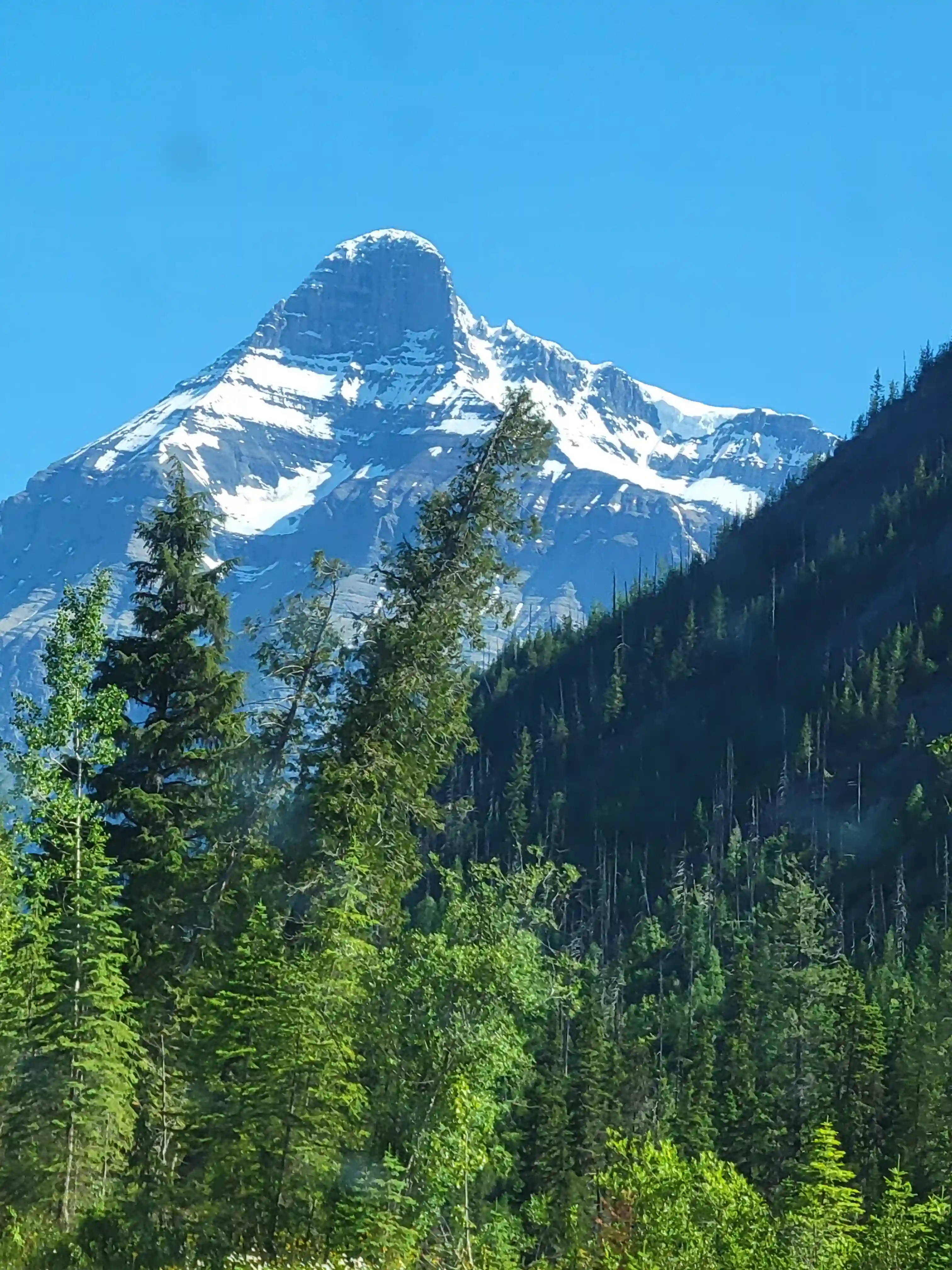
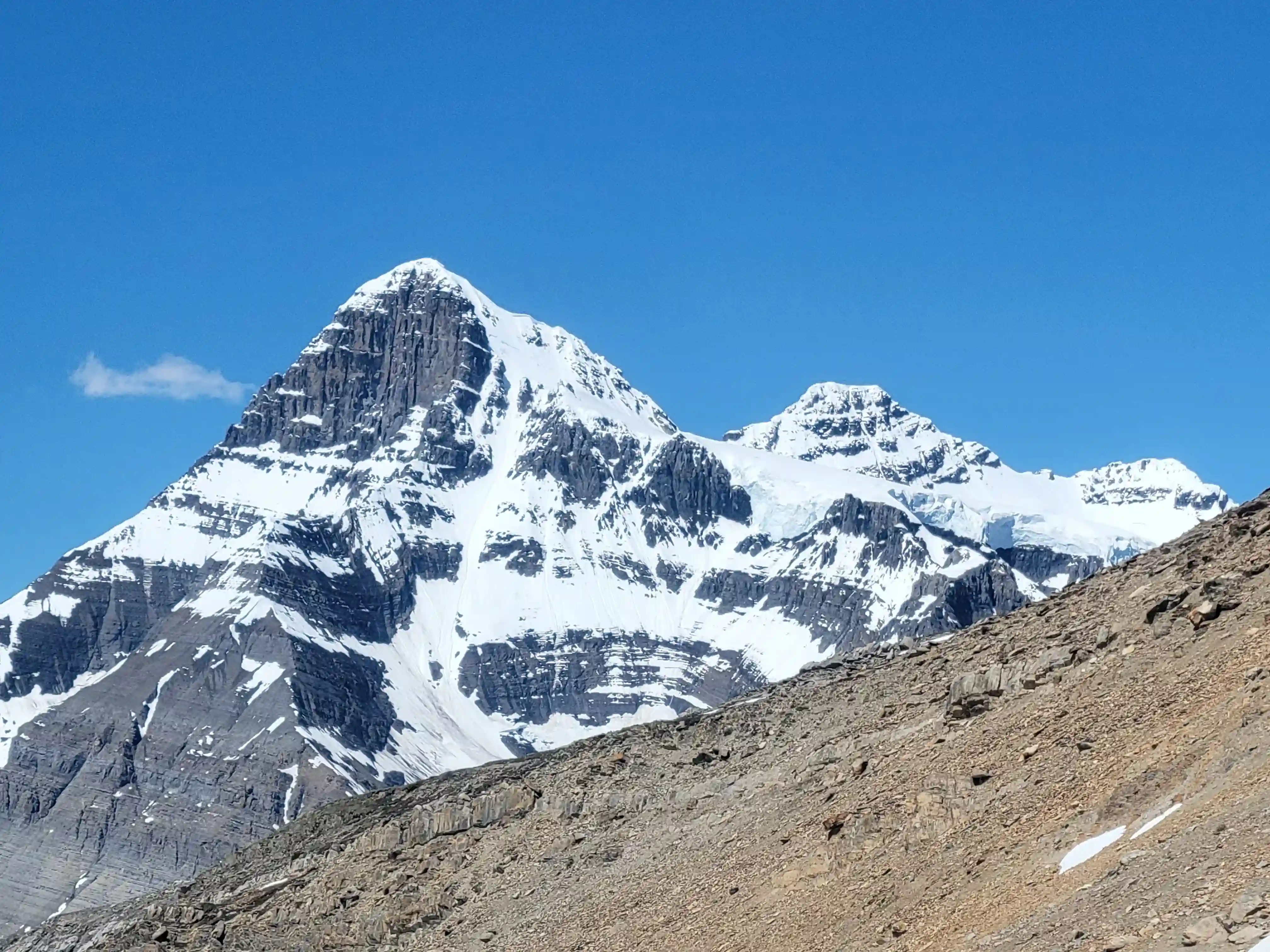
Mount Alexandra lies between
The Lyells and
Mount Bryce
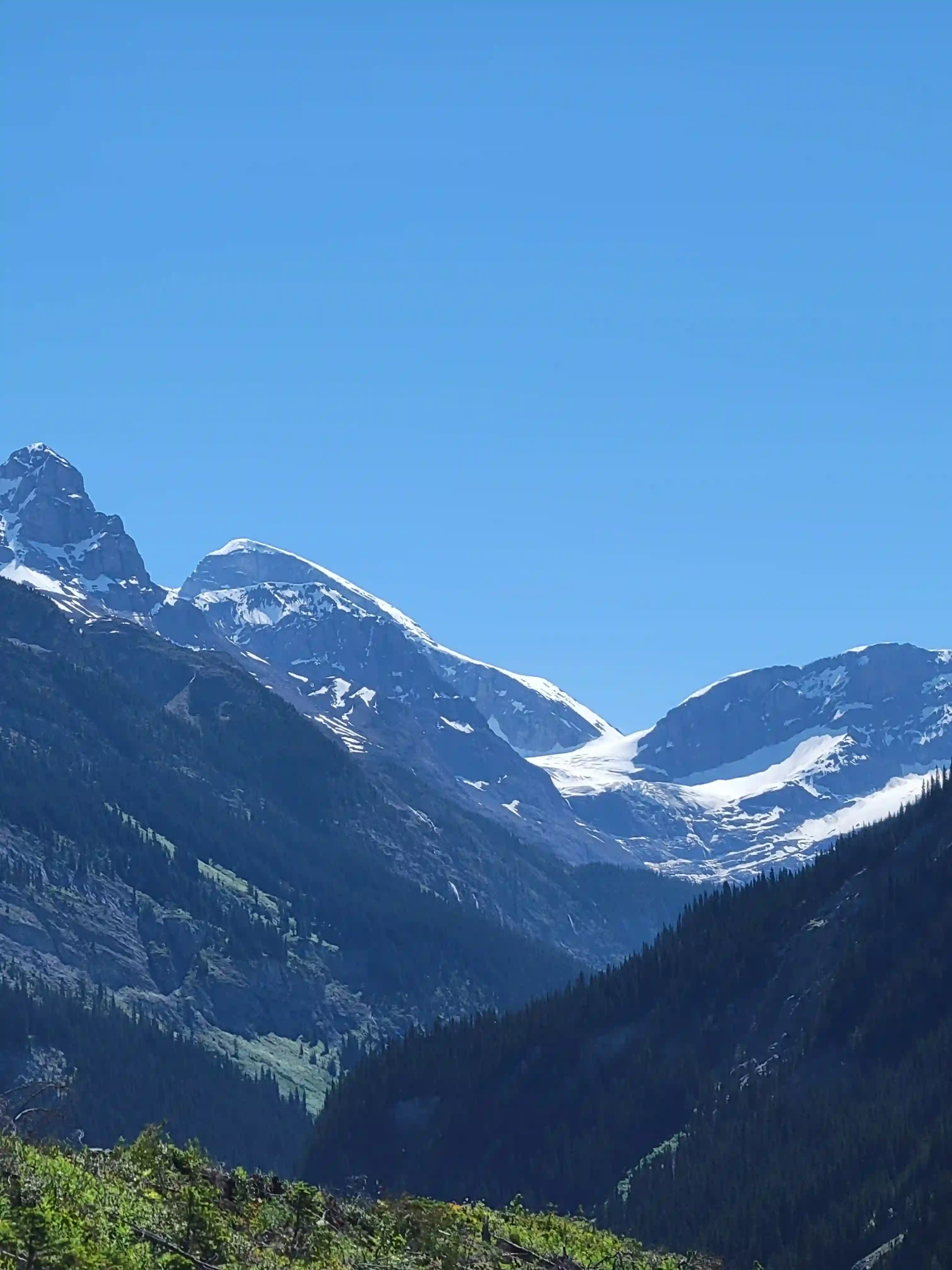
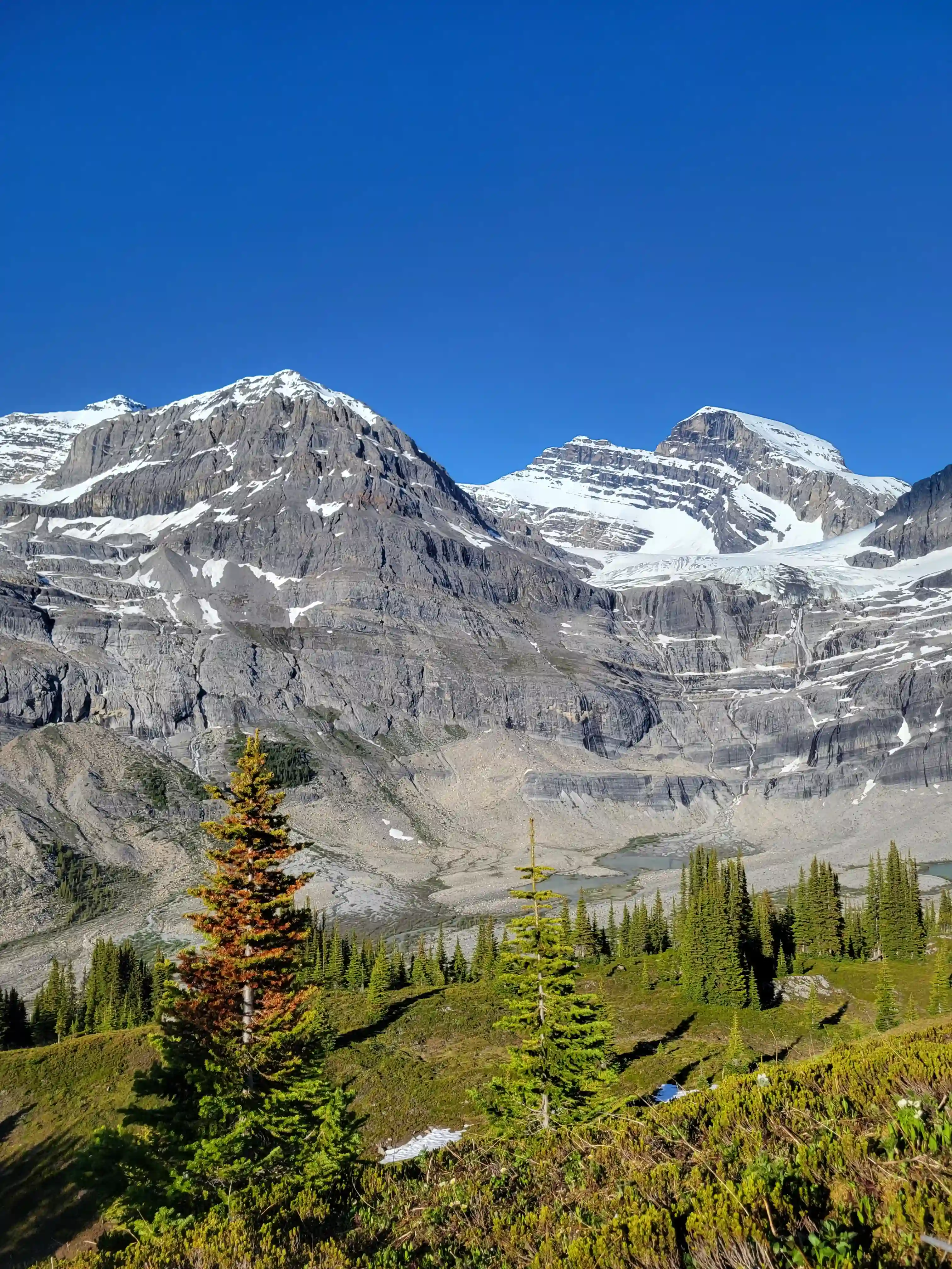
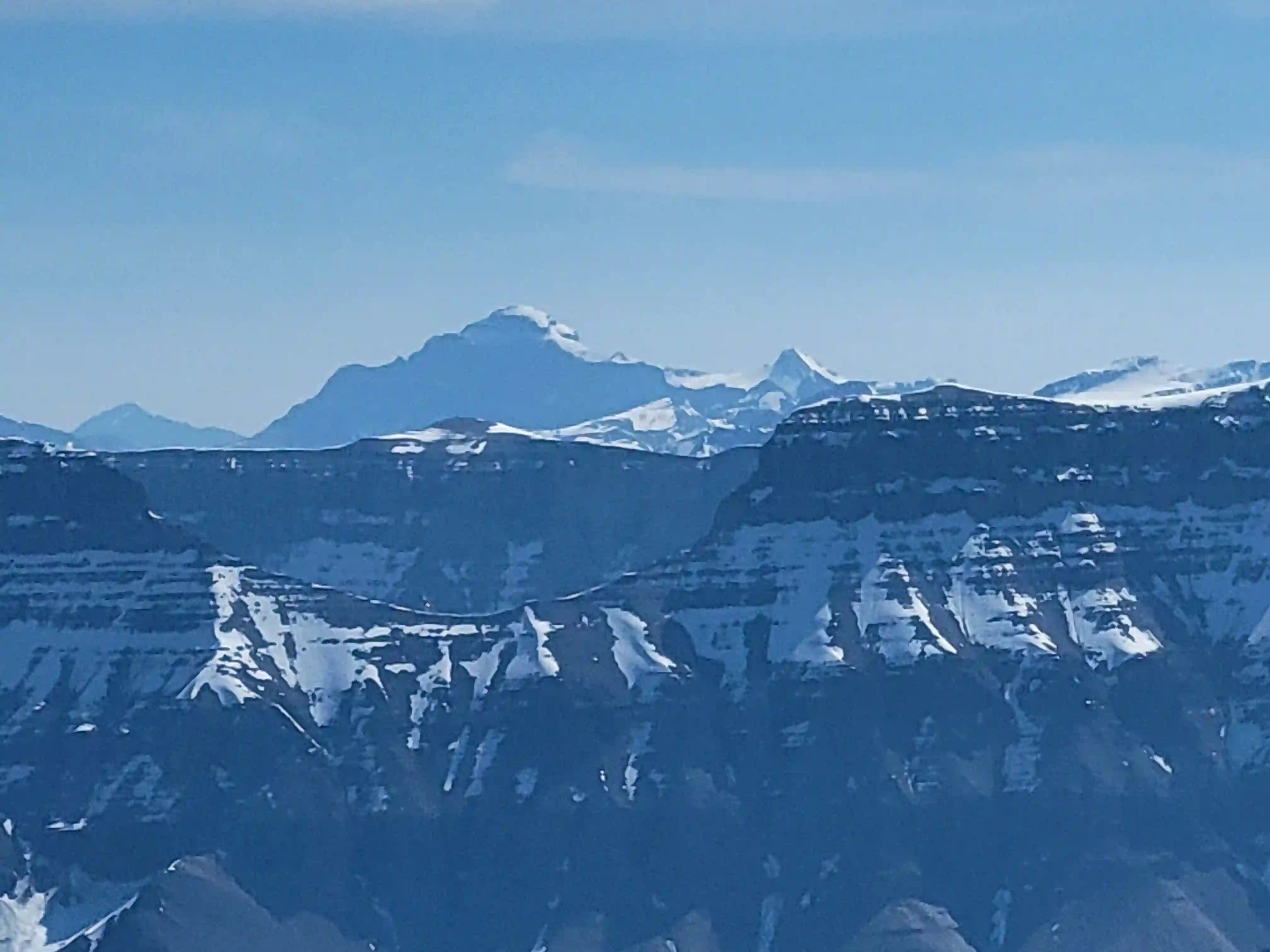
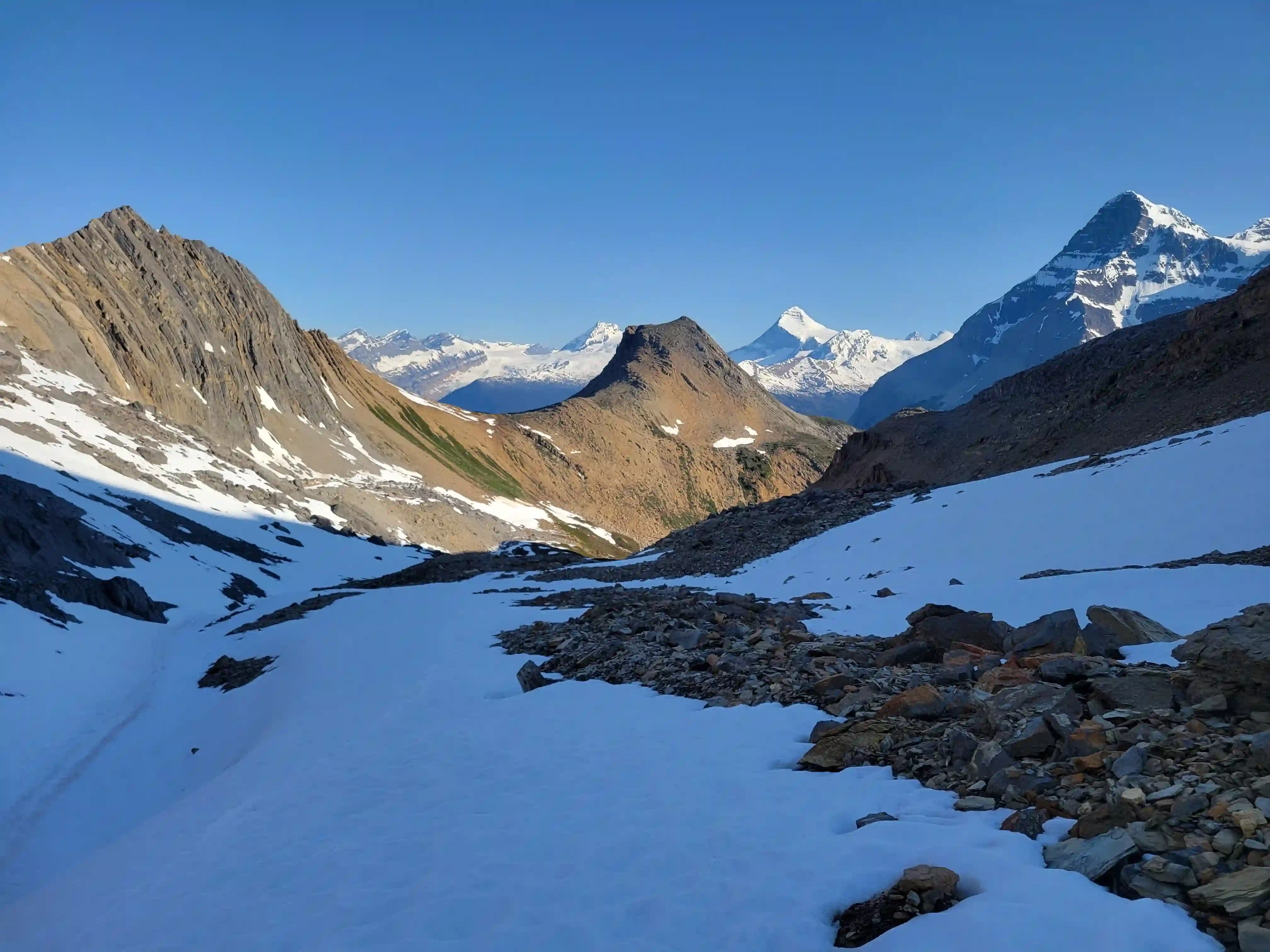
and makes up one of the remote BC 11000ers on the list. It is one of the four 11000ers that are typically accessed by driving more than 90km out the Bush Forest Service Road and simply getting within close proximity of the peak is the toughest part about this mountain. Alexandra doesn't seem to get as much attention as its nearby counterparts due to its lower difficulty and large distance necessary to get it done without helicopter support so it's primarily done by those seeking to complete the entirety of the list. While Alexandra was known as one of the worst bushwhacks in the past due to the Lyell Creek or Rice Brook valley bottom approach, improvements in the route have changed this completely.
After my successful trip up
Mount Andromeda and Mount Athabasca
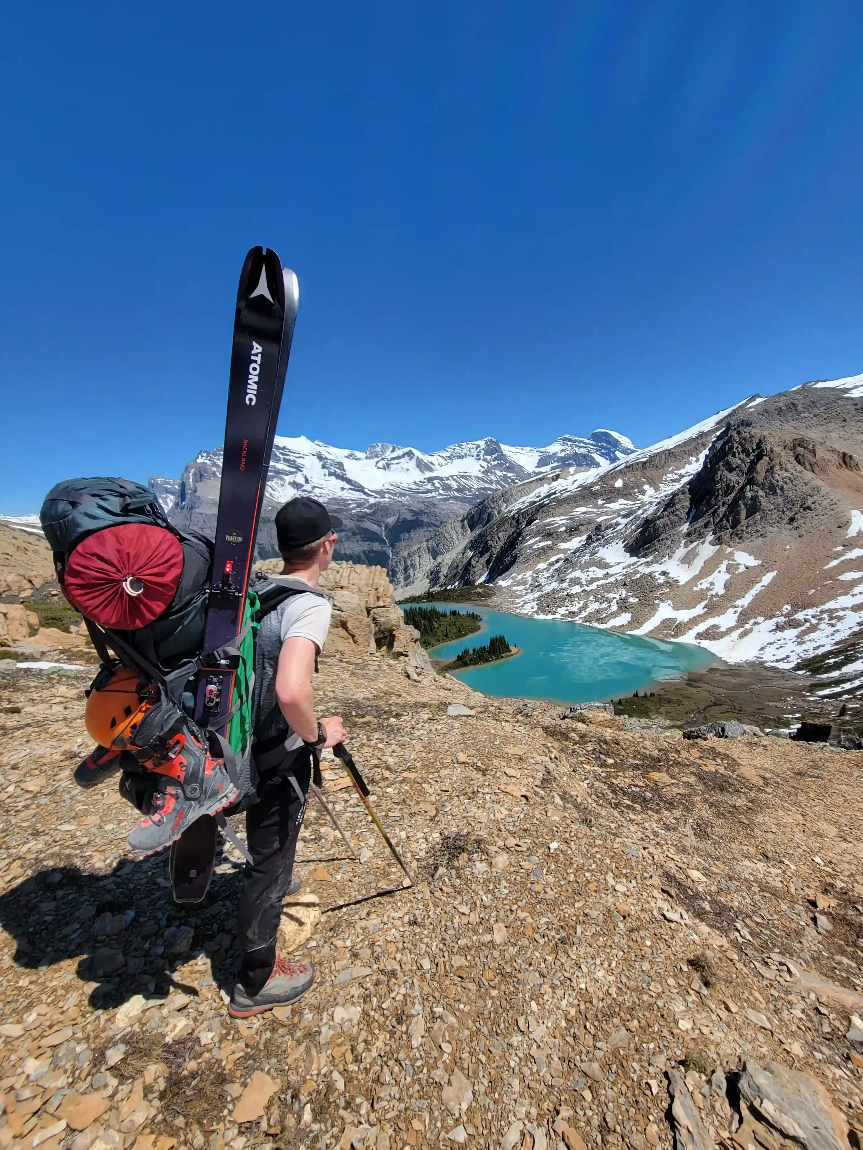
I was looking to go for a more remote 11000er and immediately began eyeing up the numerous high peaks south of the Columbia Icefield. I was in communication with a few fellow mountaineers and when Jøsiane Bēgin was free and interested to go for something we landed on Alexandra and began making plans. Given the kilometers and elevation gain you have to cover for the trip we weren't exactly sure how long the approach and exit would take us but we decided to plan for two overnights and would ideally reach the campsite below the headwall on day one and do some of the exit after summiting and returning to camp on day two.
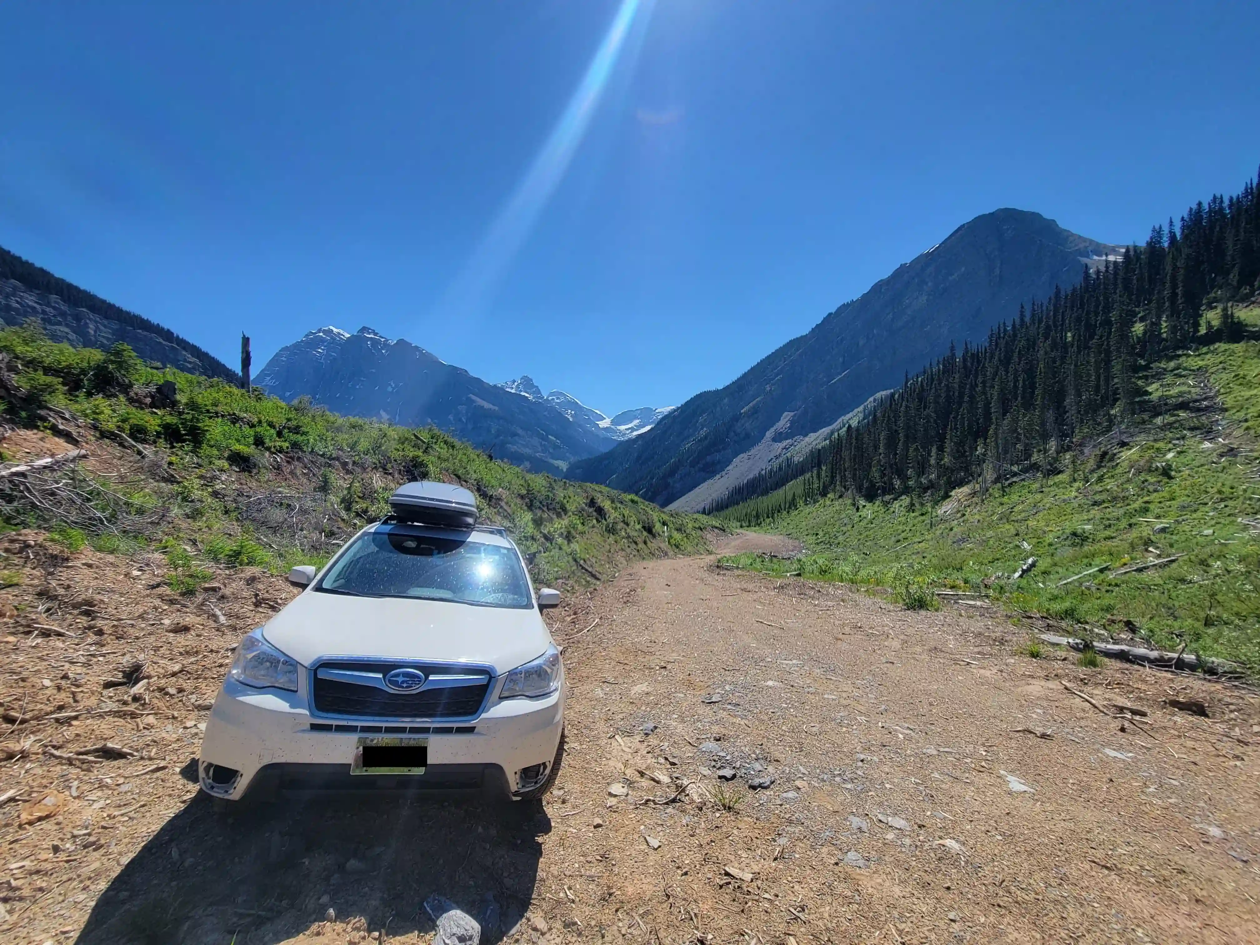
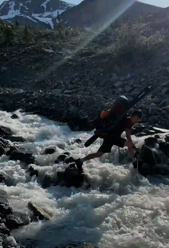
Jøsiane and I met up early in Canmore and after reaching Donald just north of Golden began heading out the Bush River Forest Service Road. It was the first time in the area for both of us and I was pleasantly surprised by the quality of the road, that is until around the 94km marker where you turn right onto the Rice Brook Forest Service Road and this got a lot rougher quickly. Regardless Jo's Subaru Forester was able to make it all the way to the end point of the road shortening the apoproach we would've had to do otherwise greatly and after gearing up we headed out.
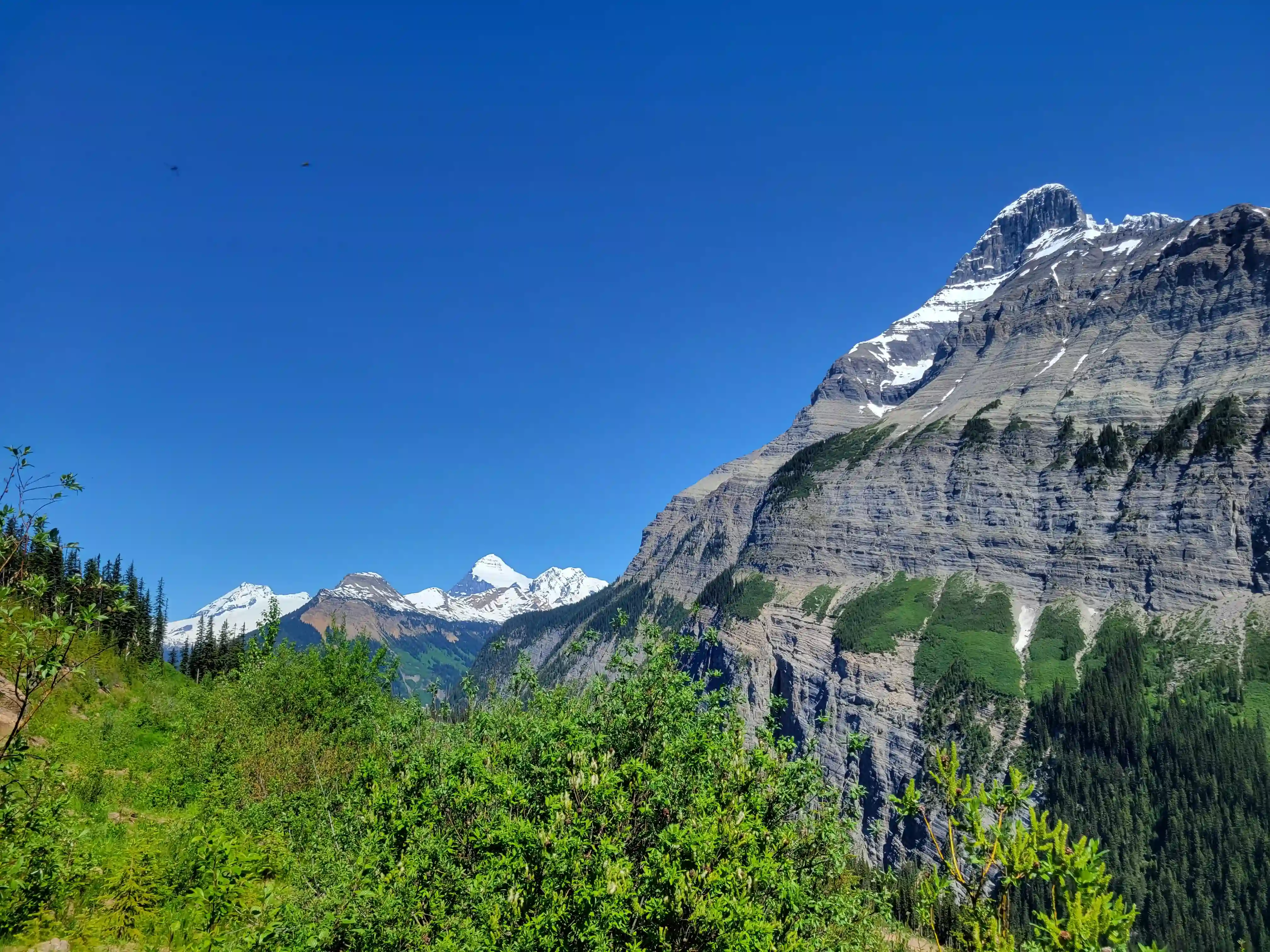
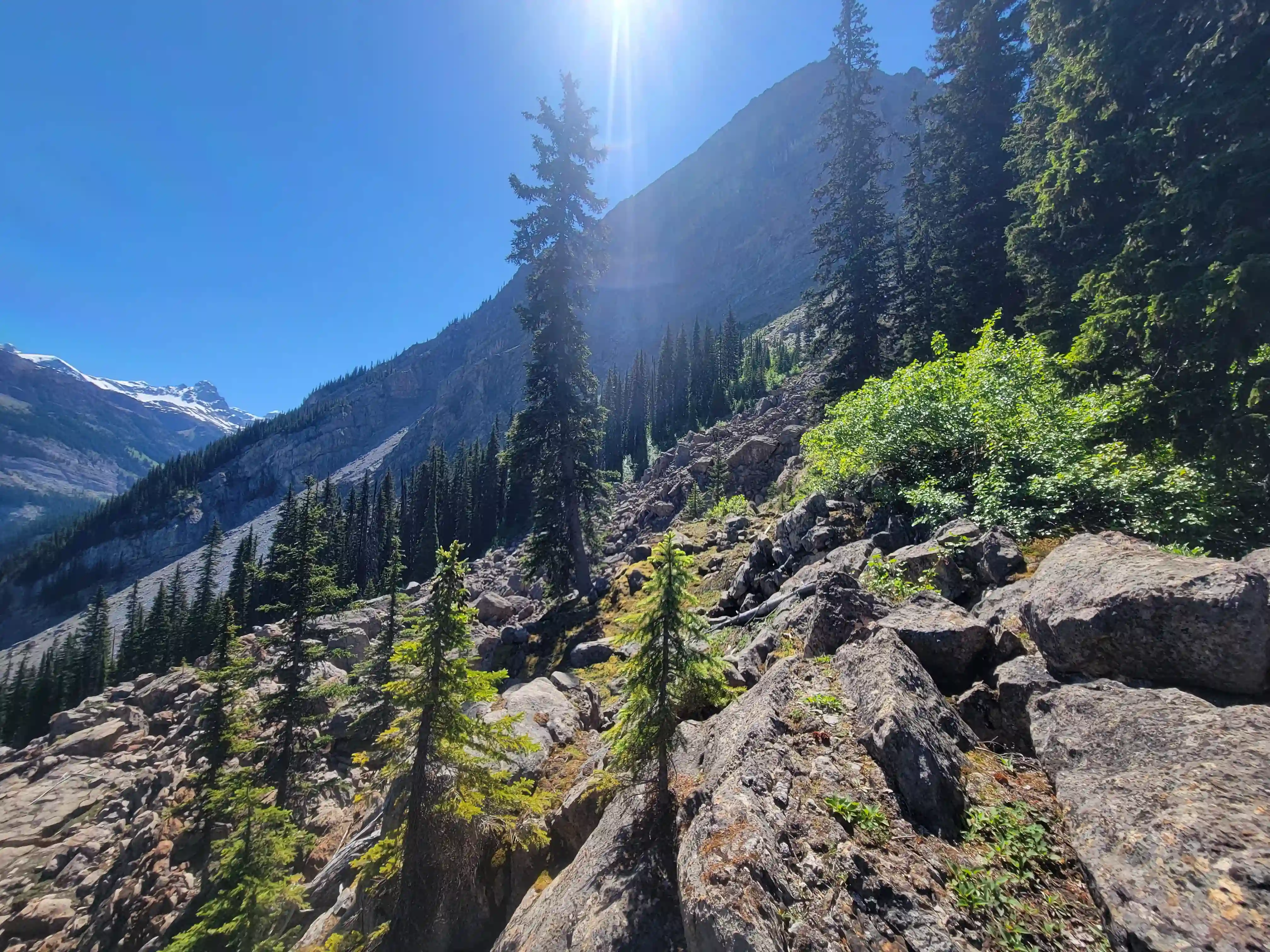
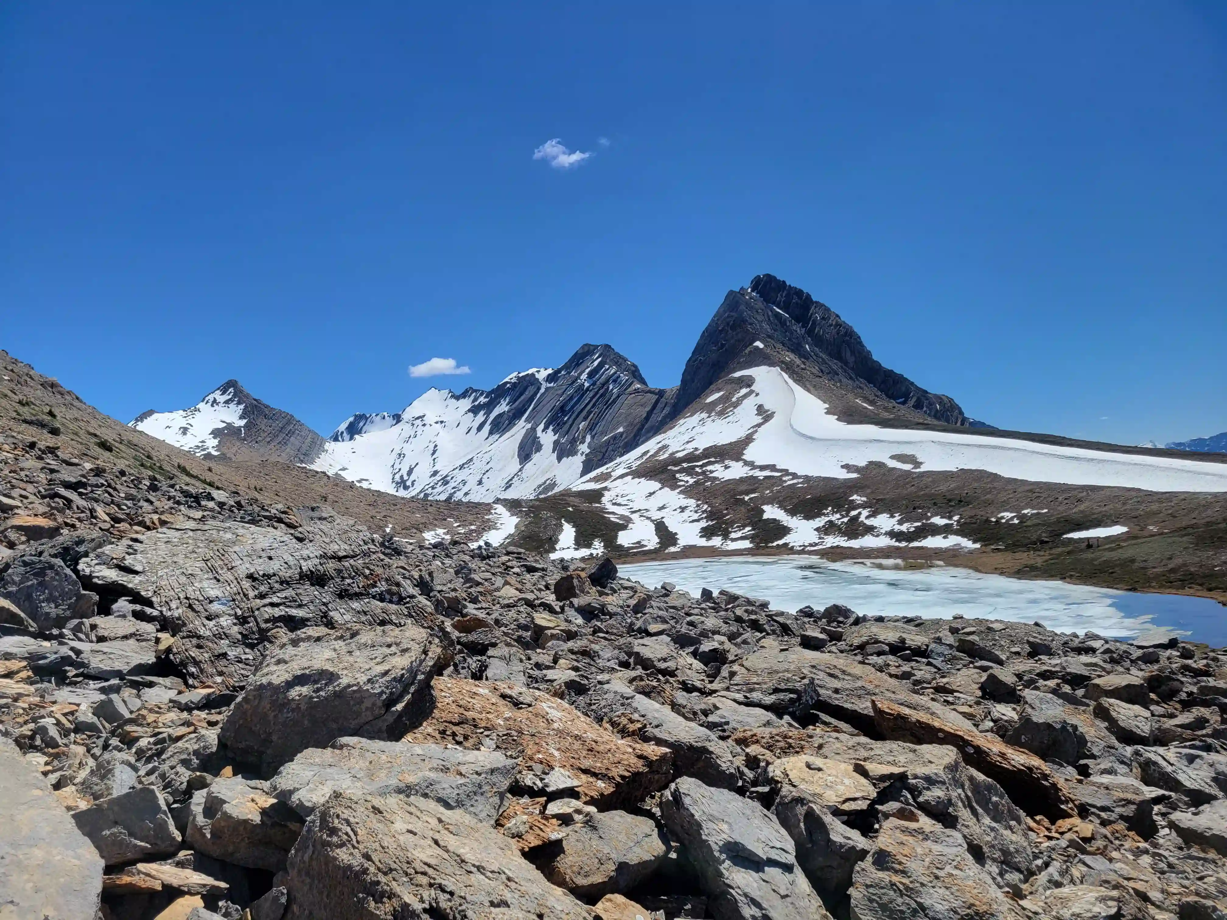
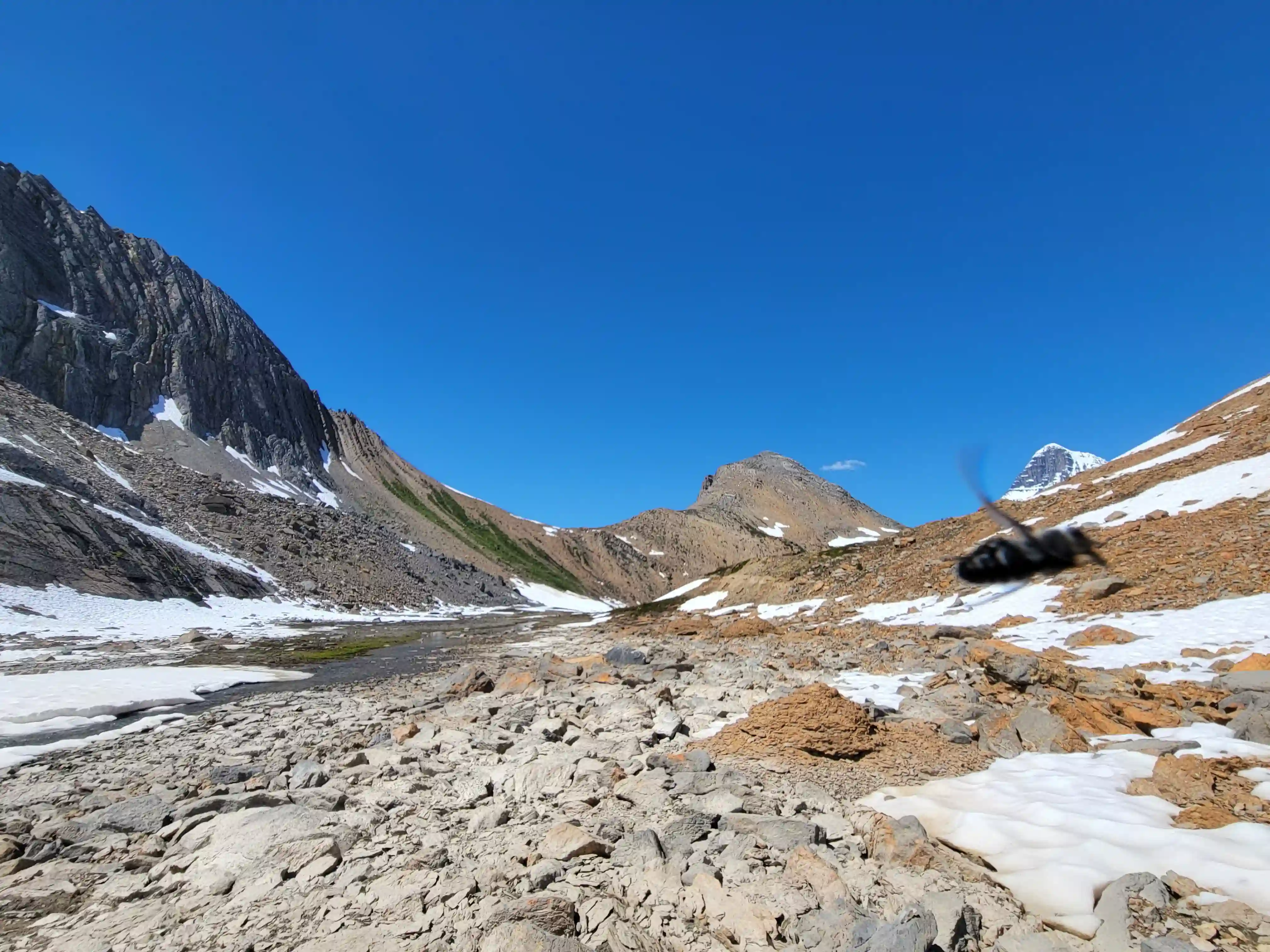
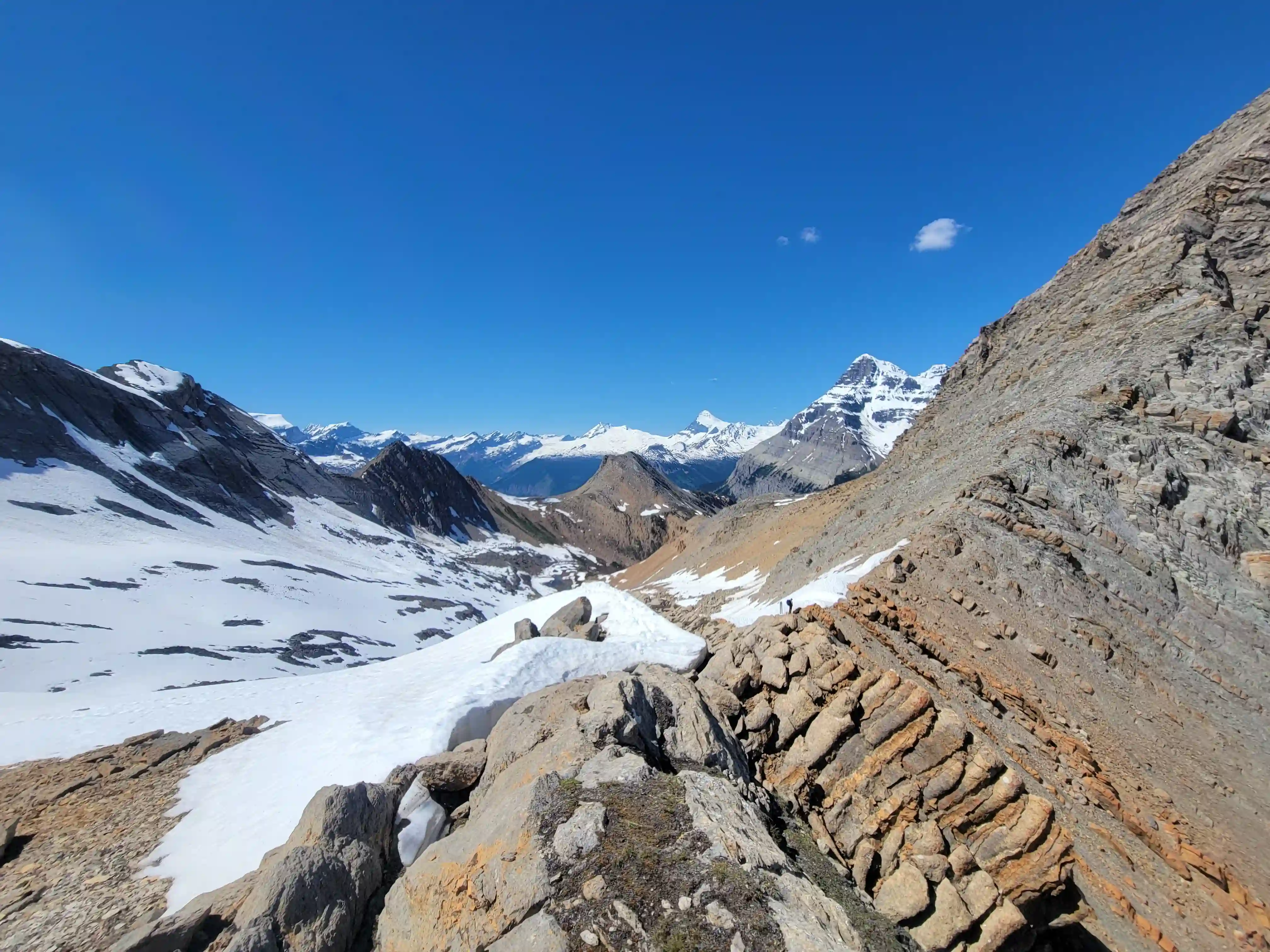
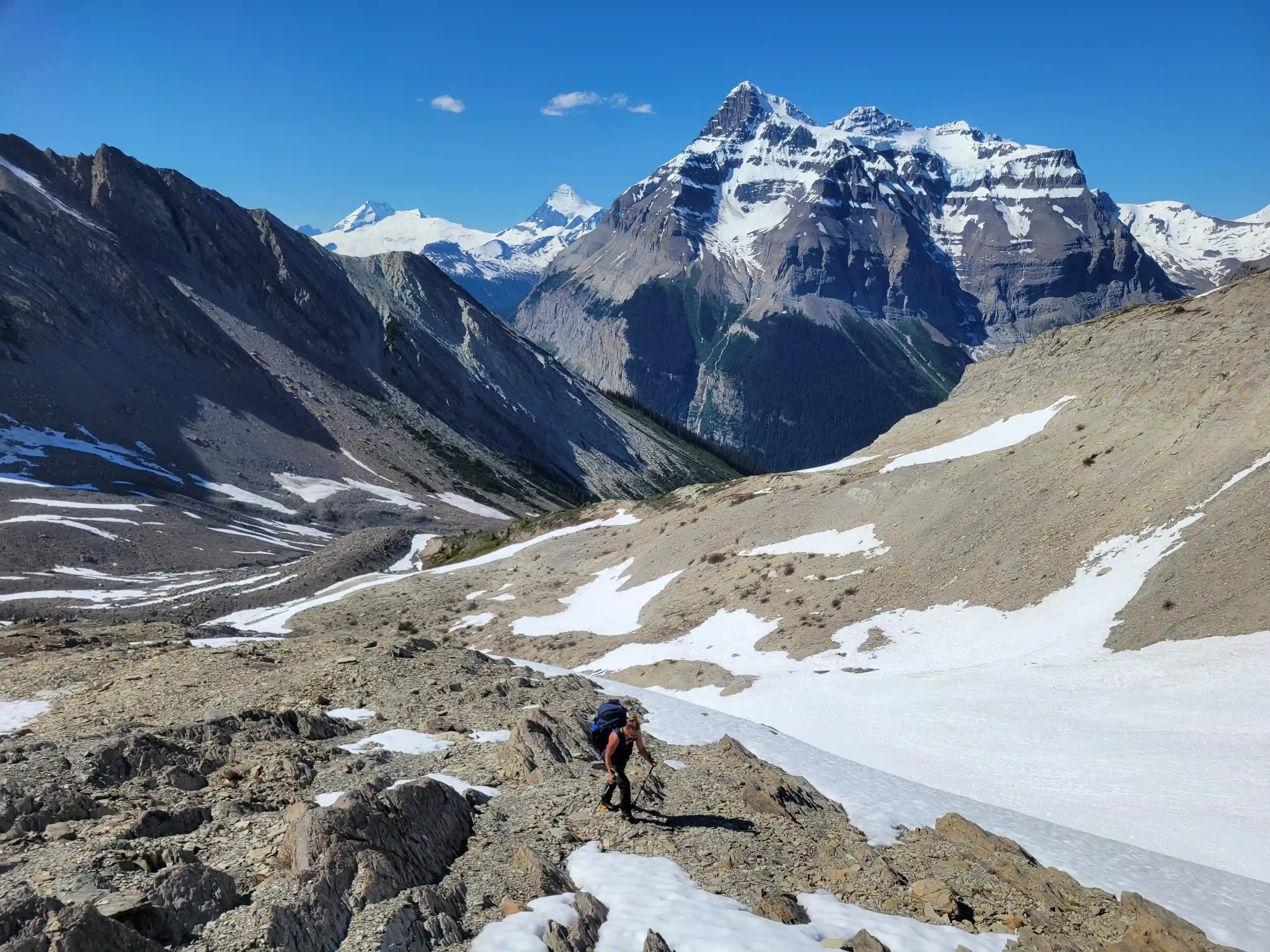
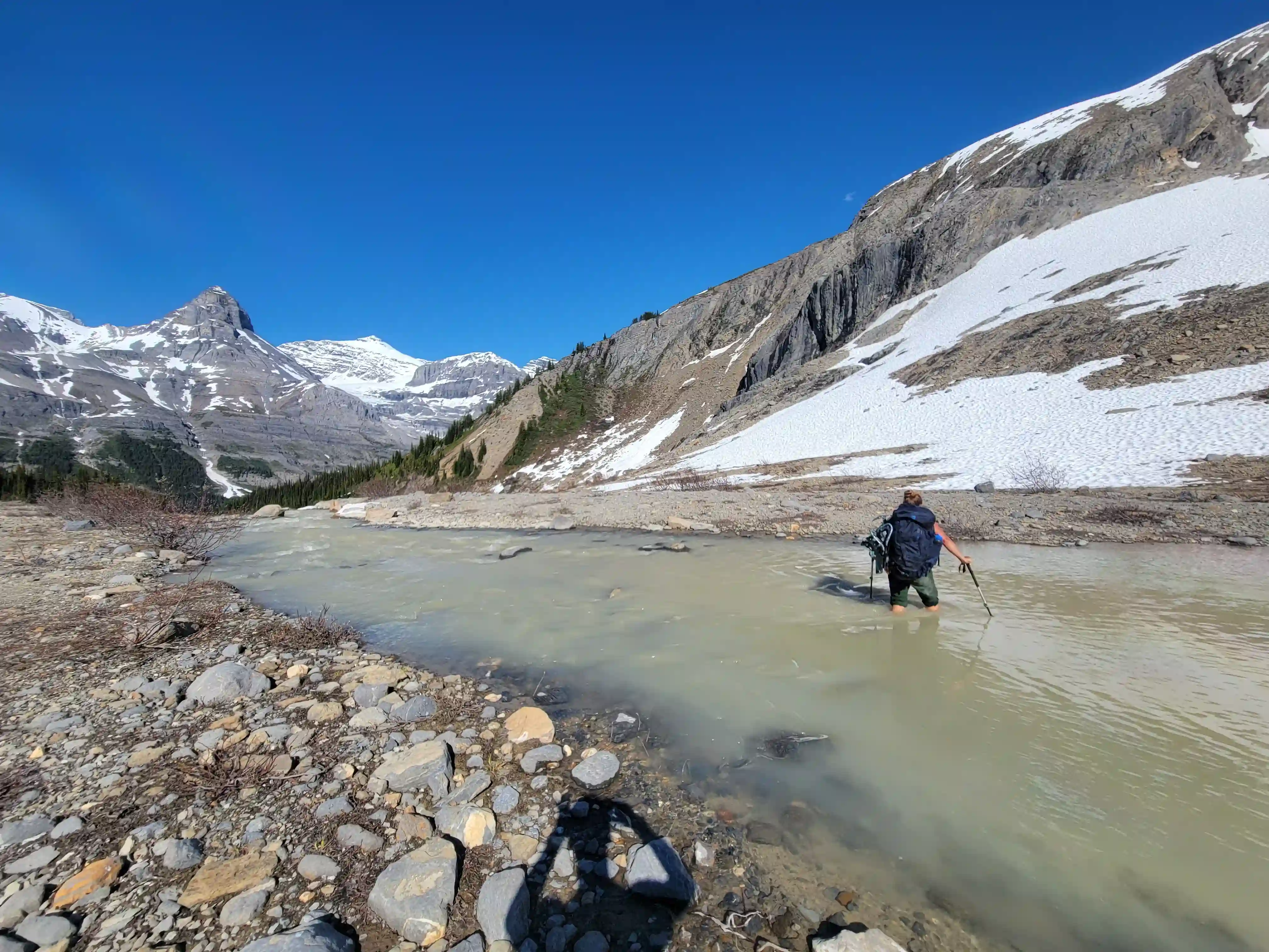
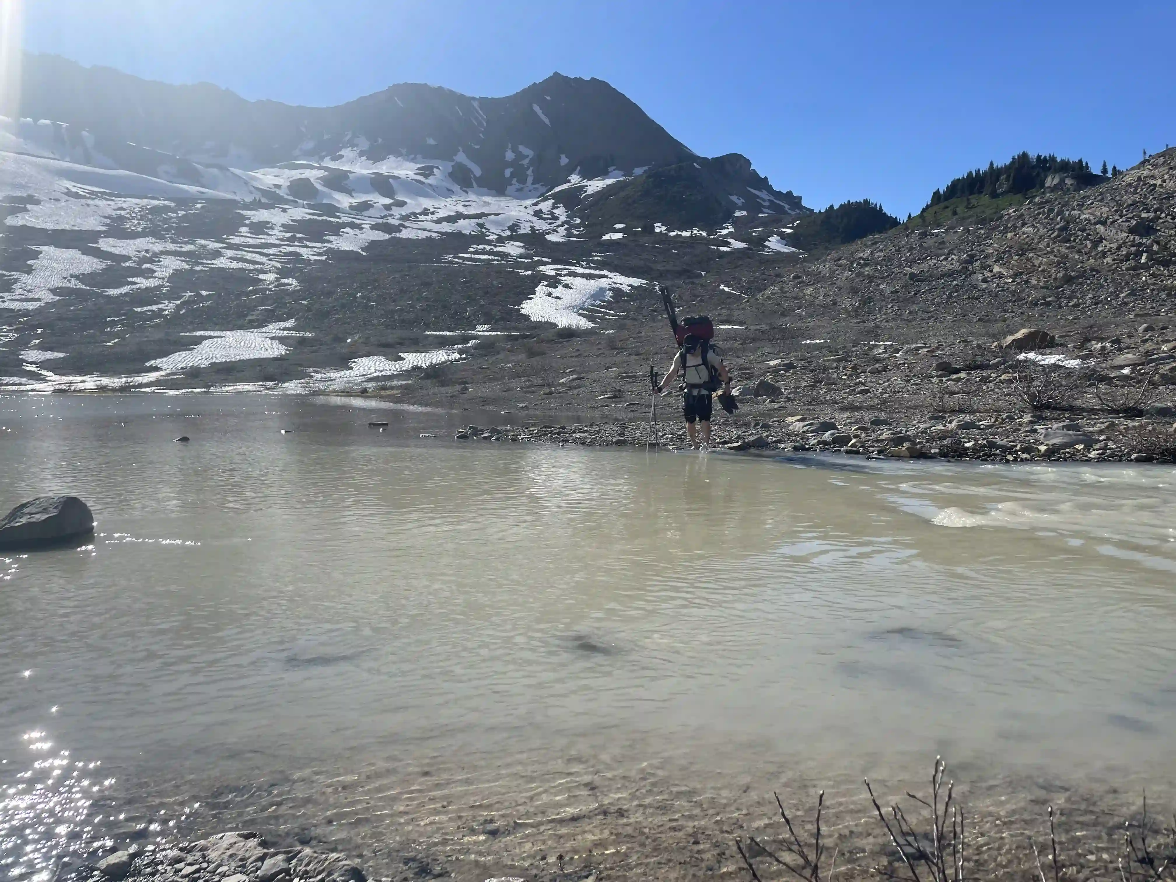
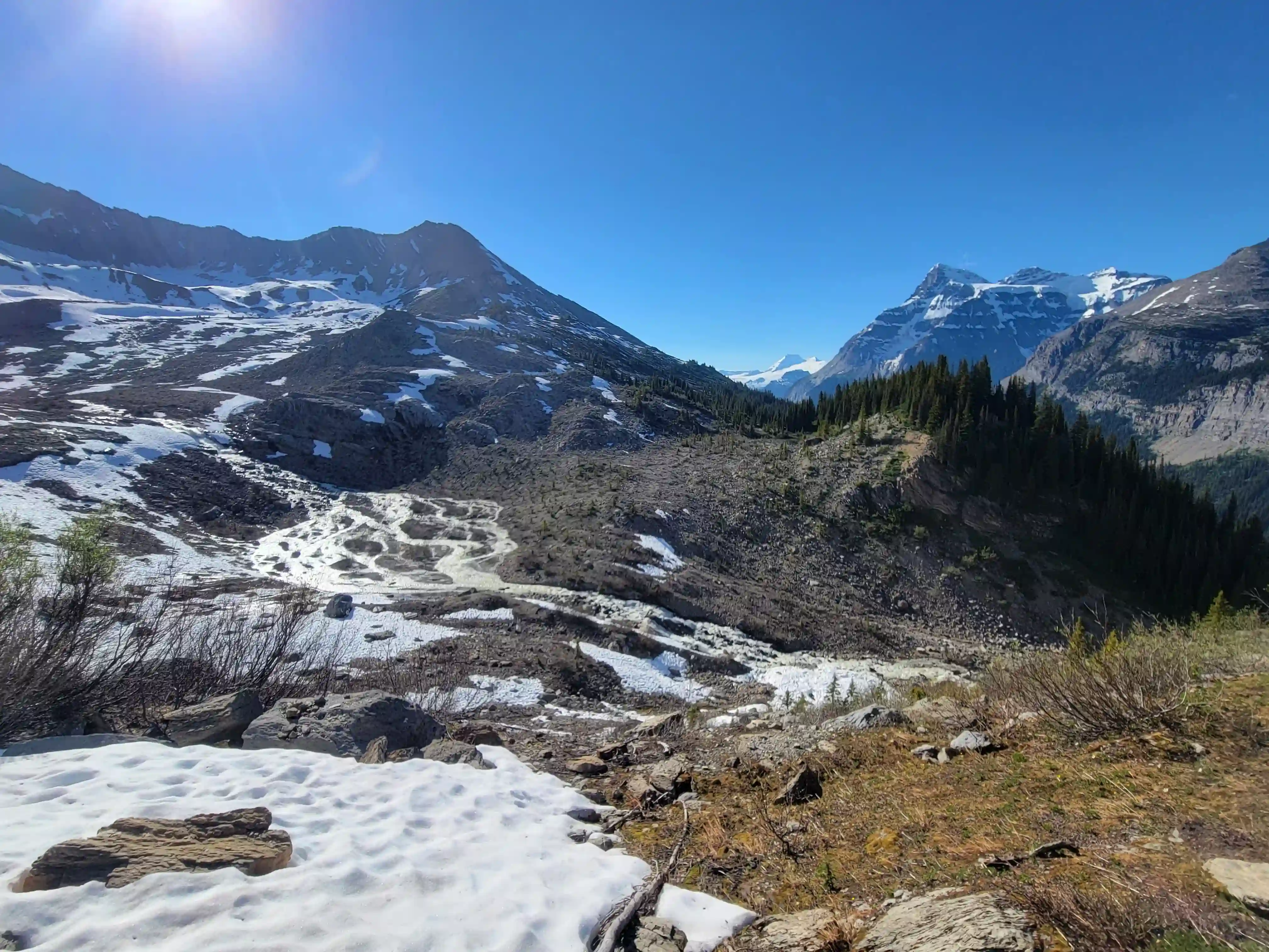
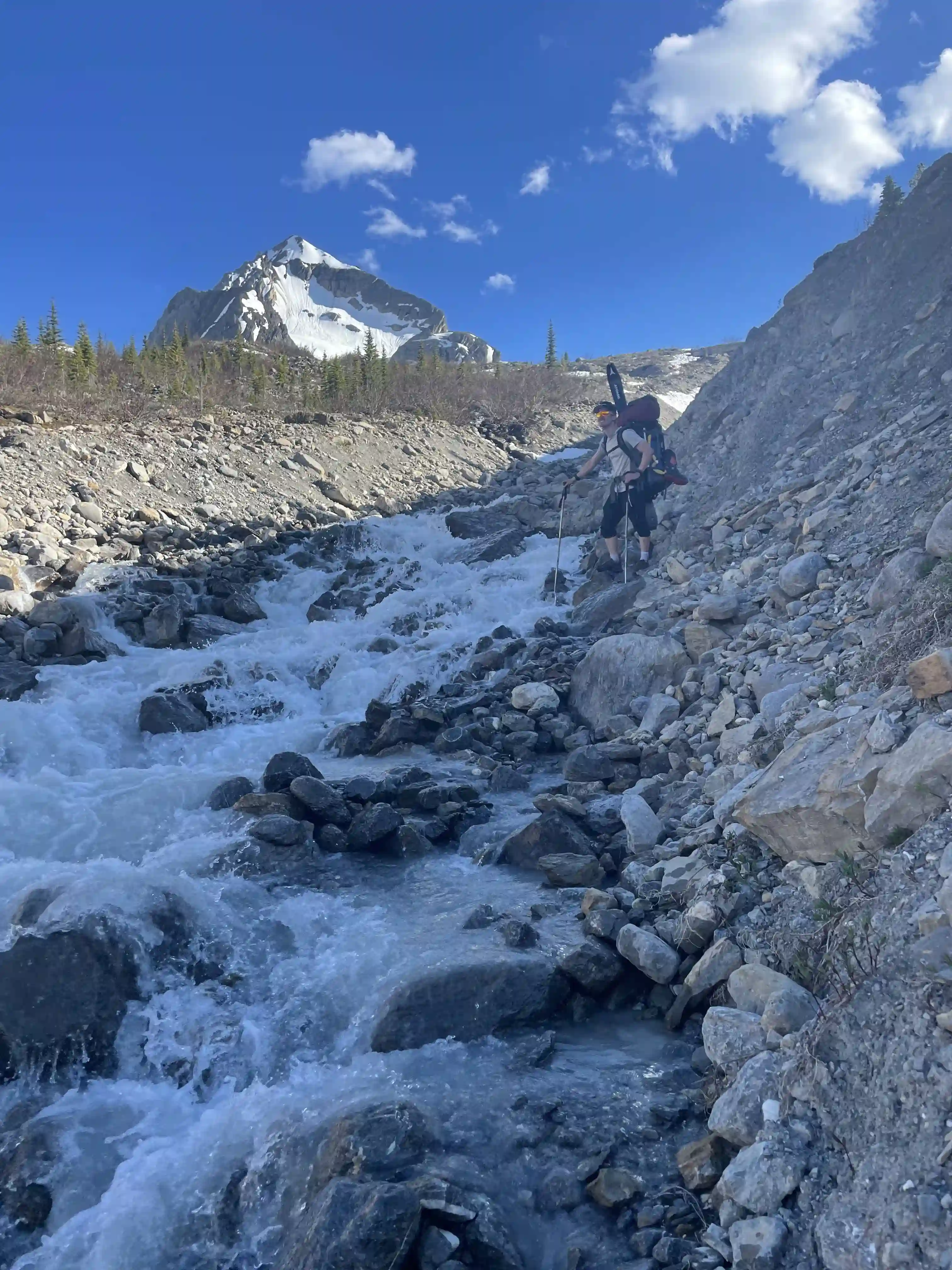
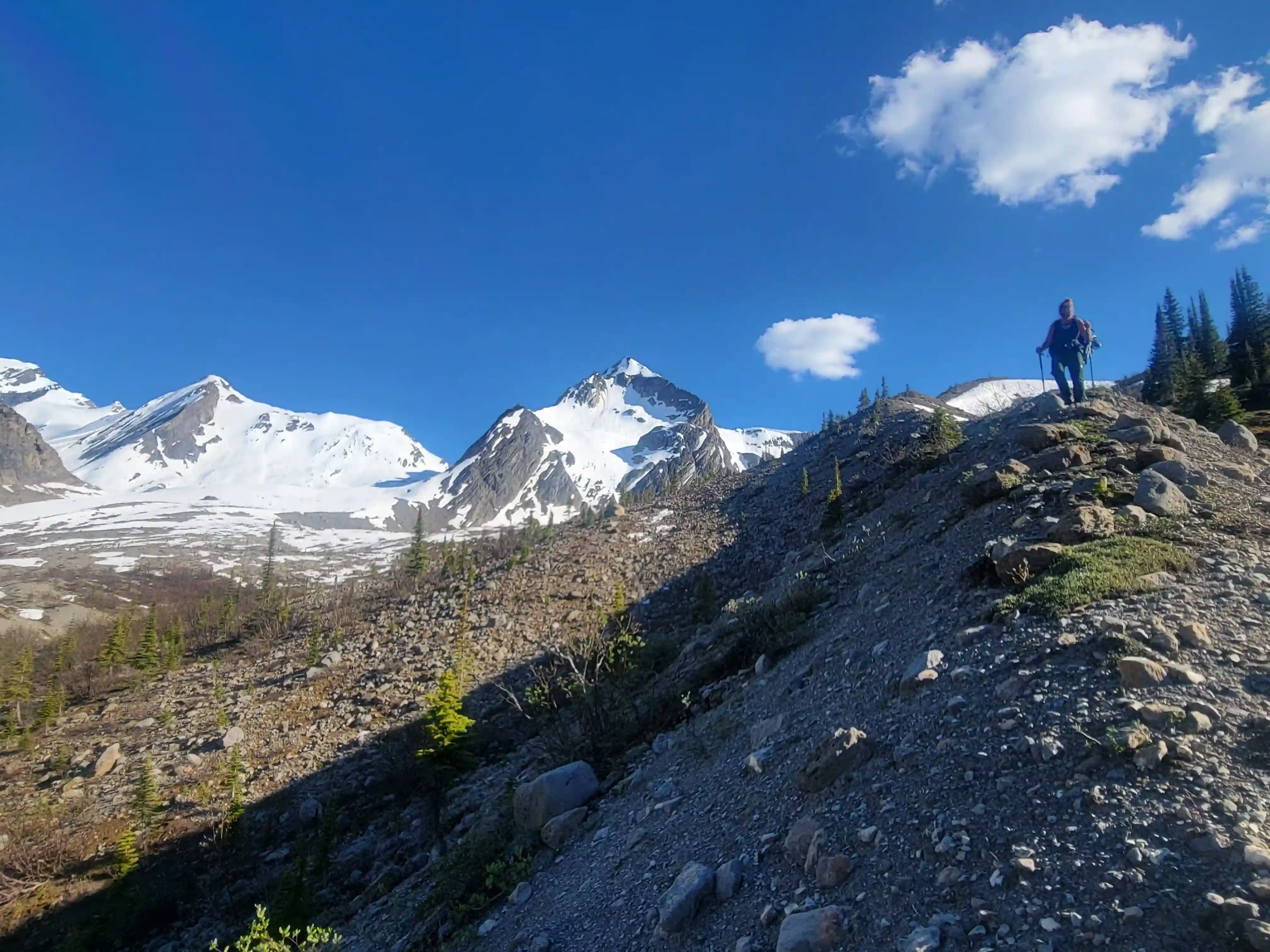
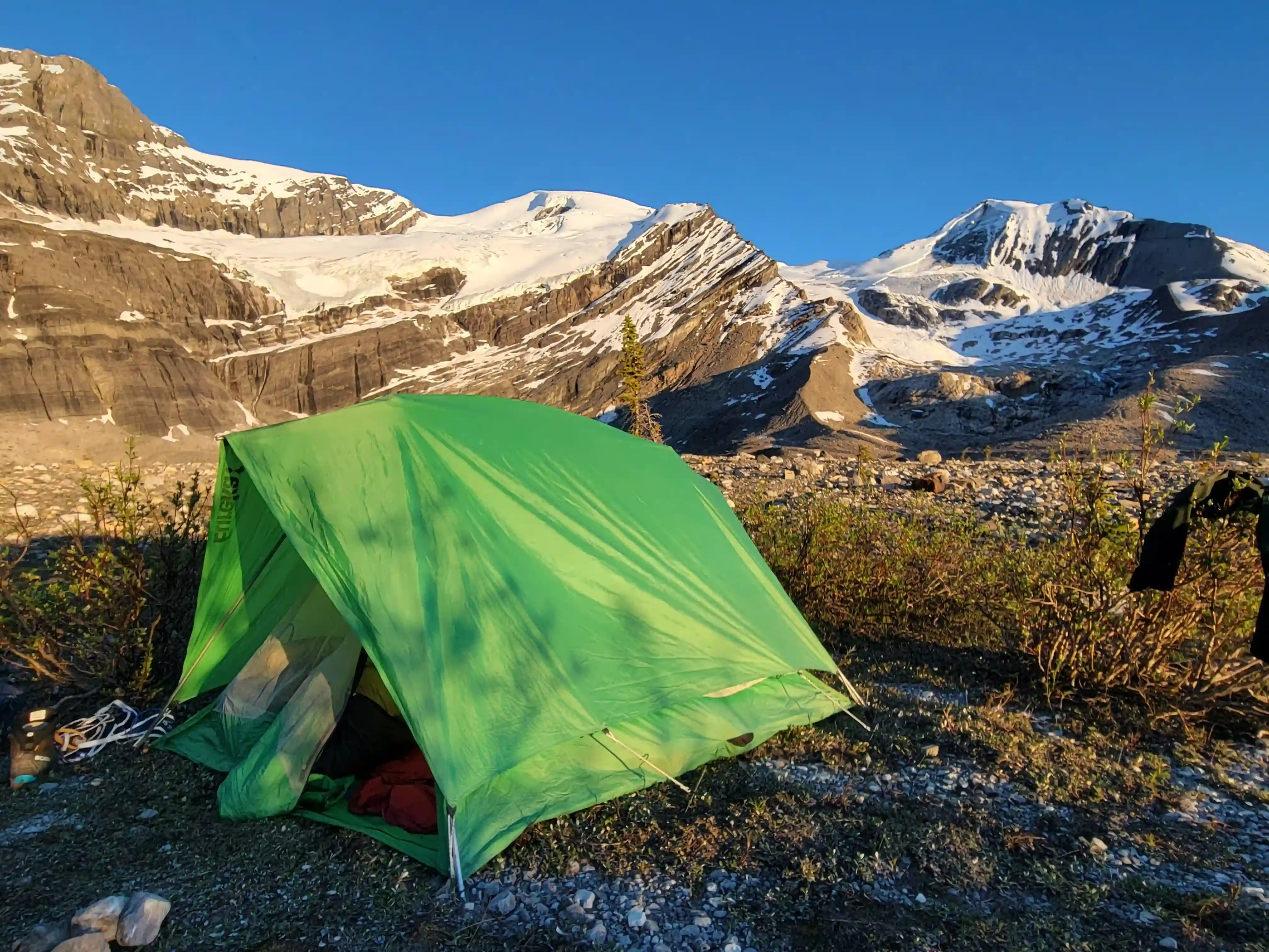
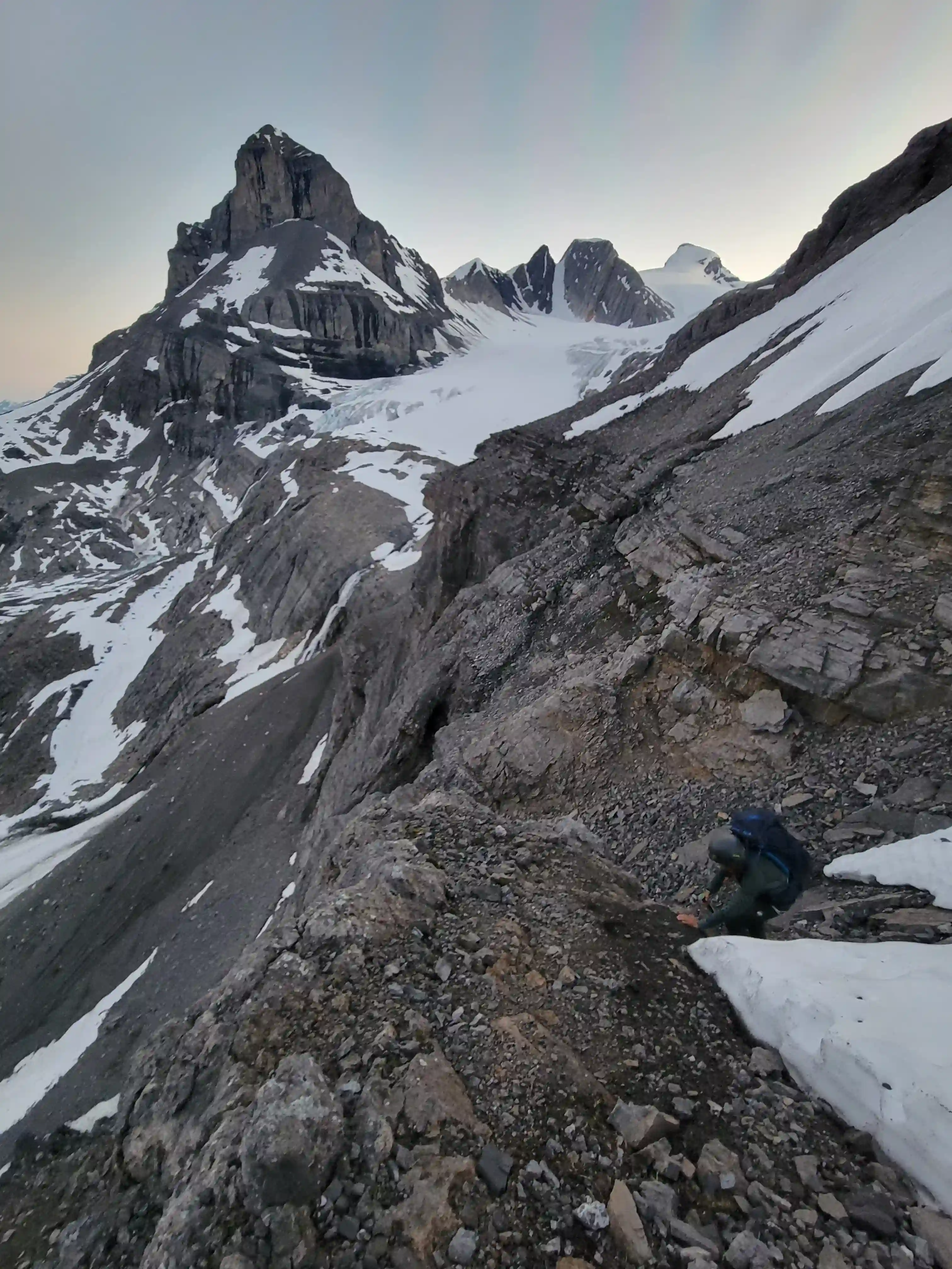
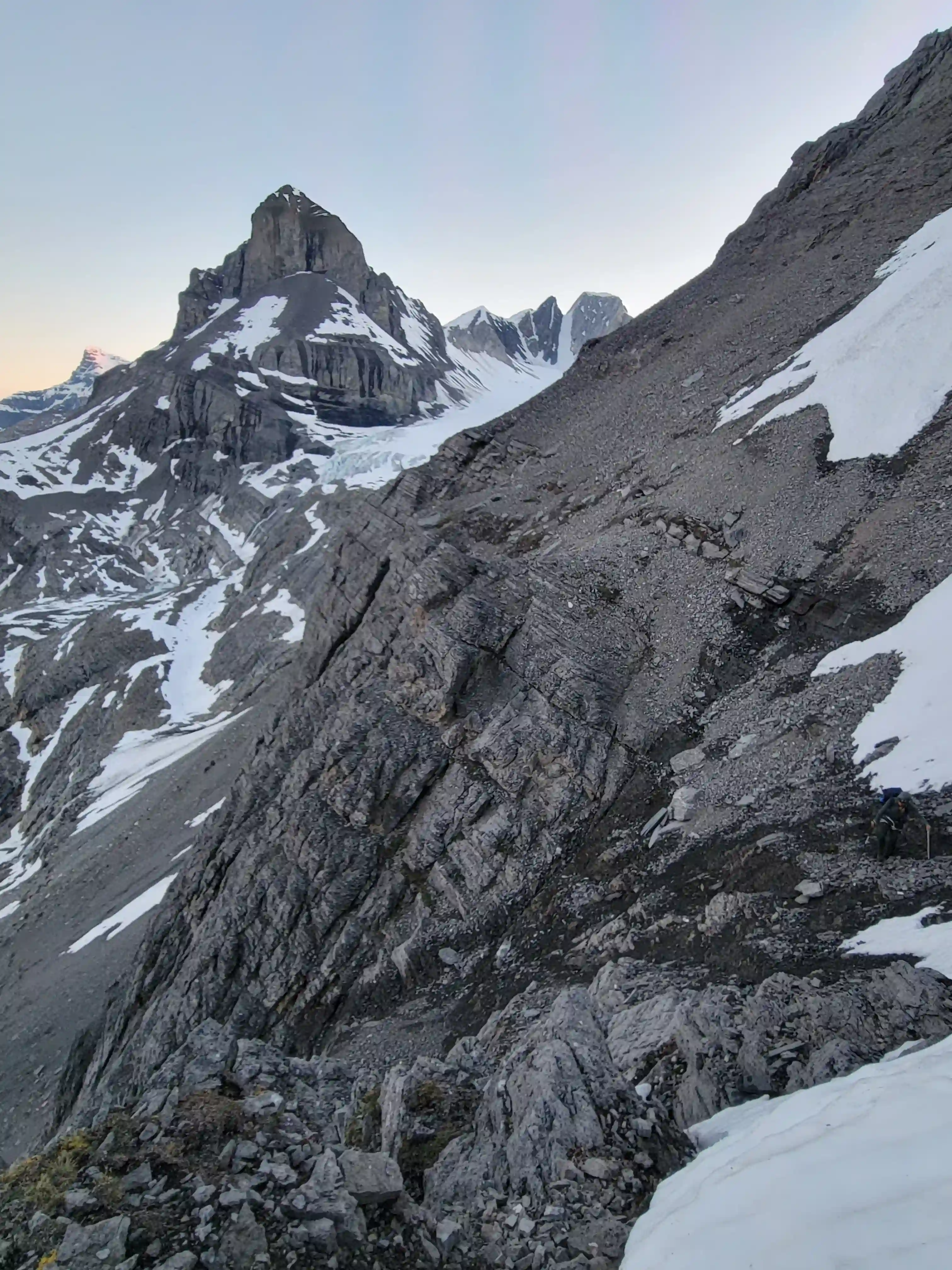
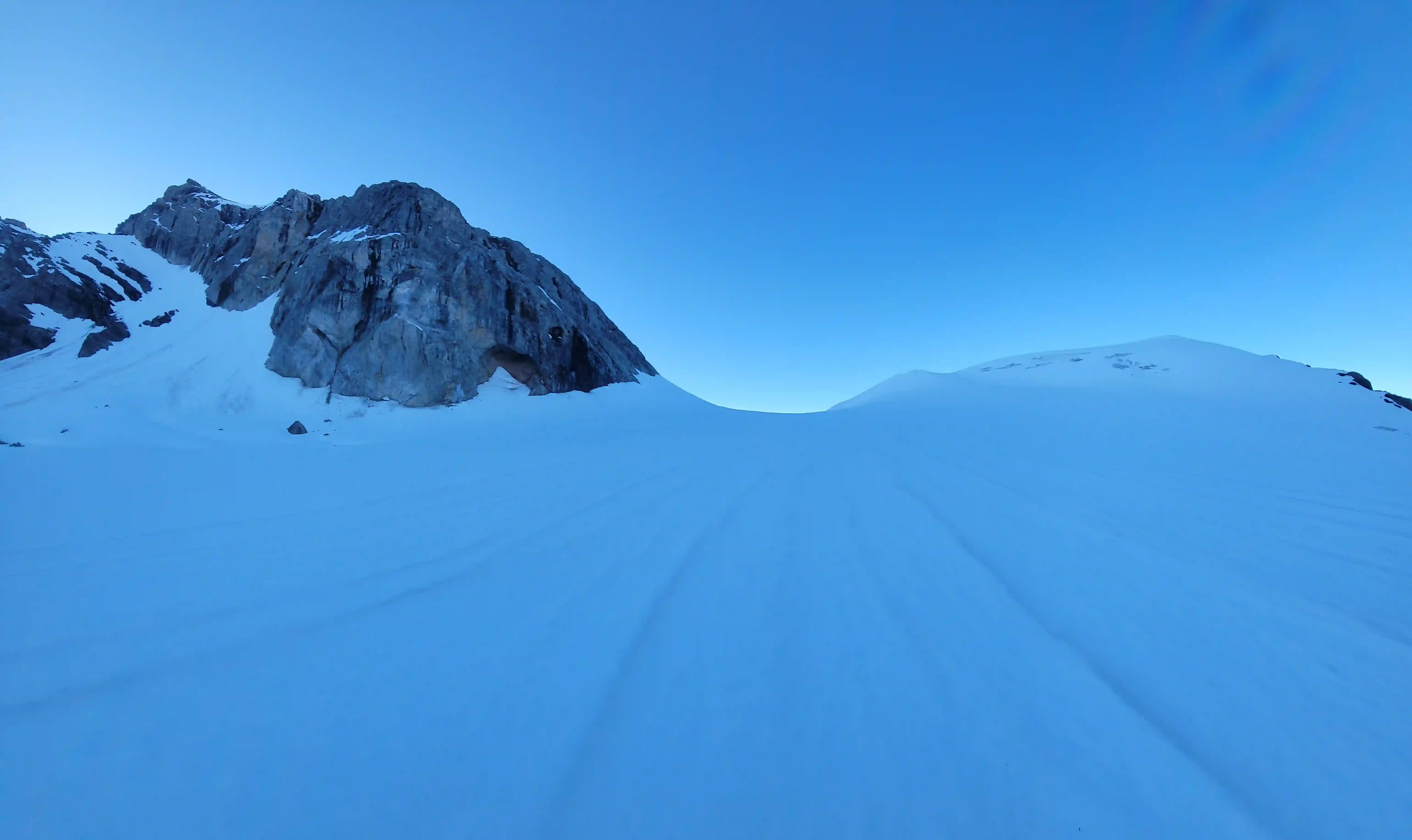
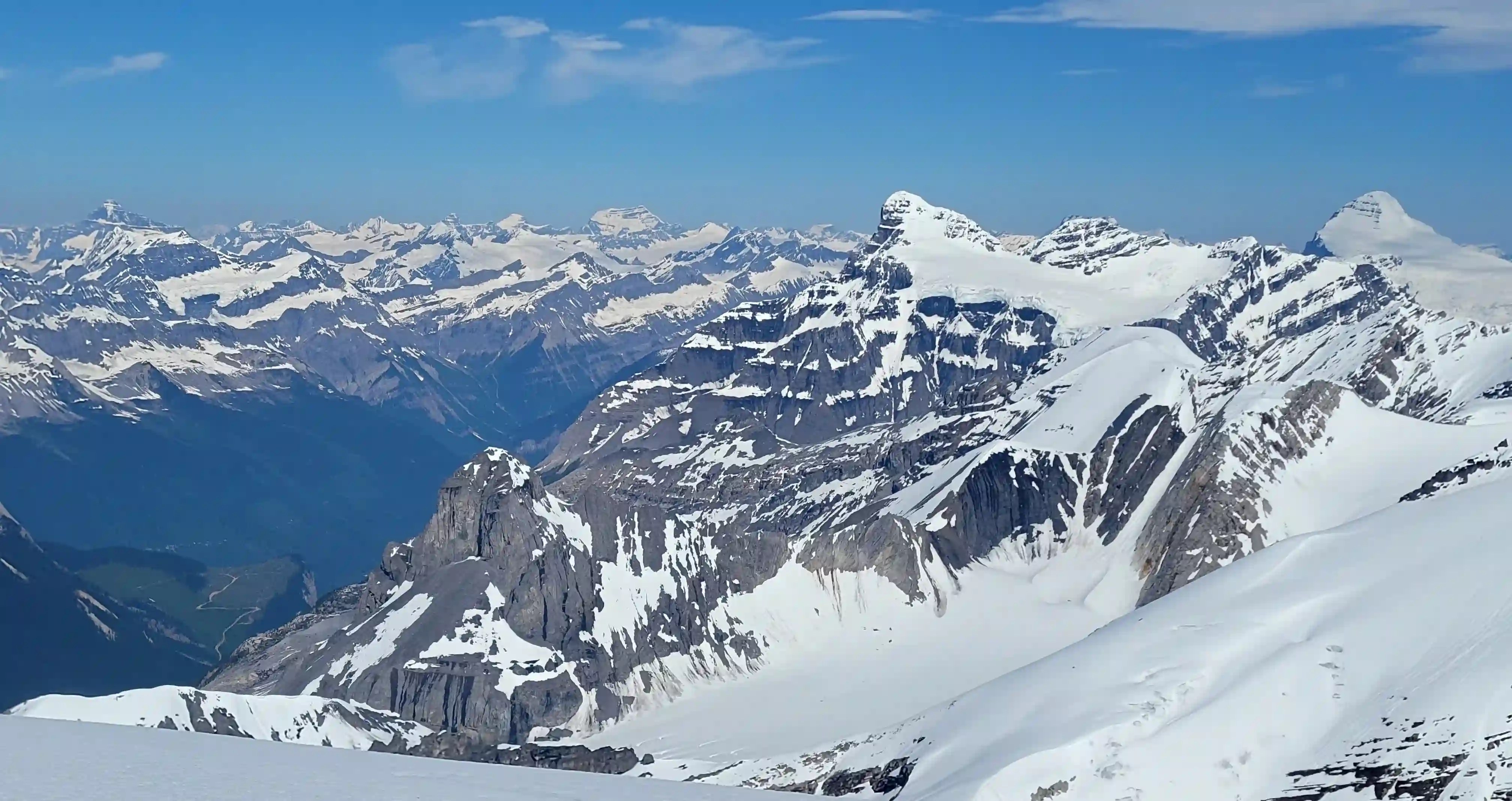
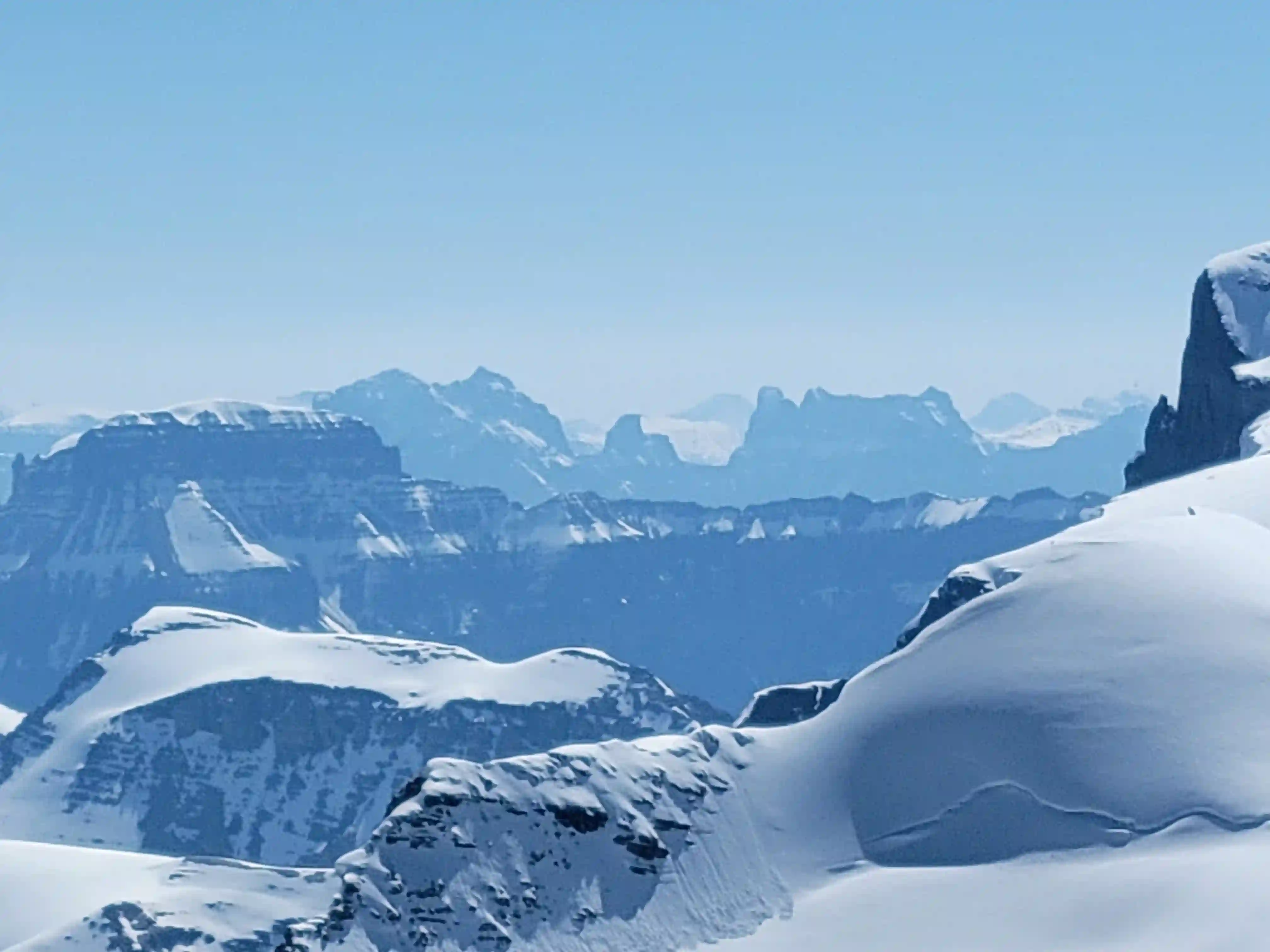
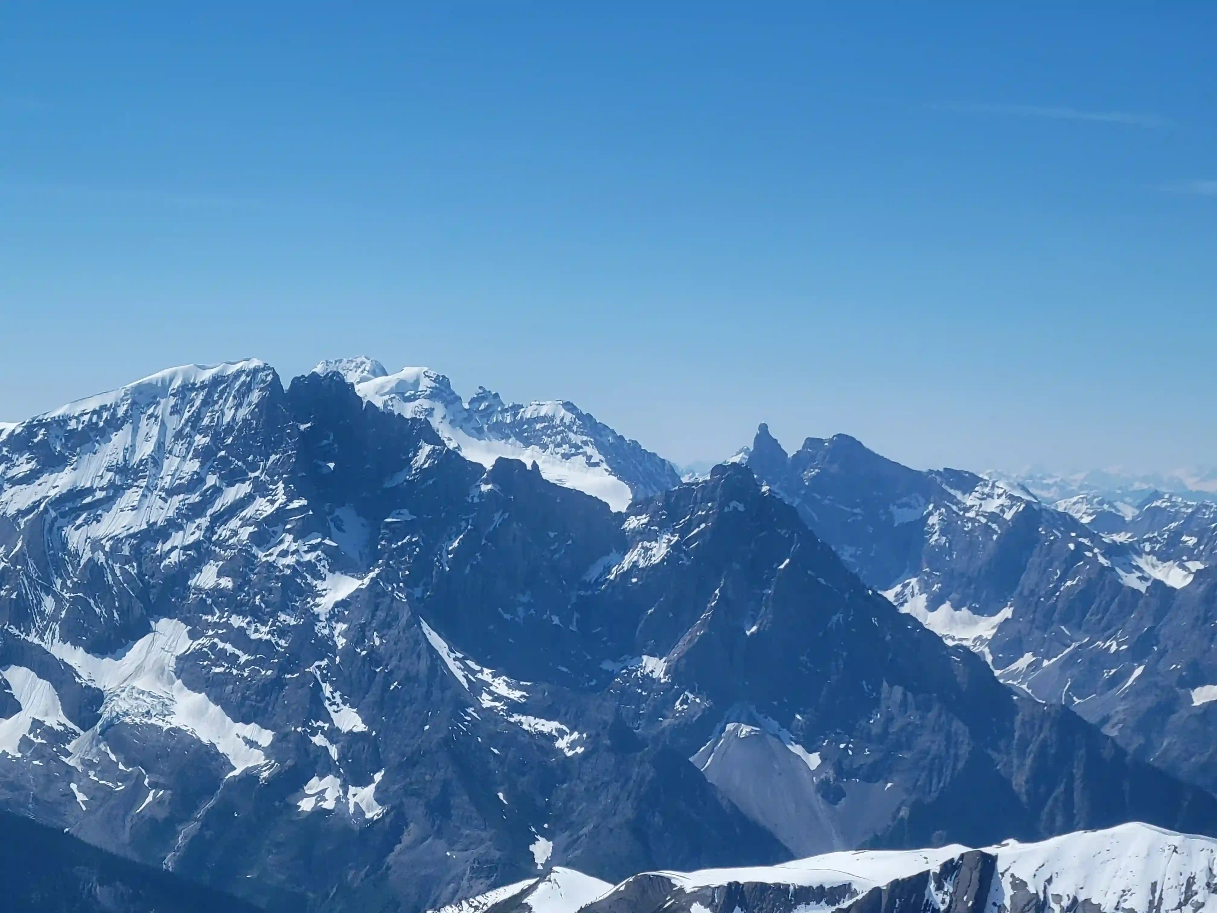
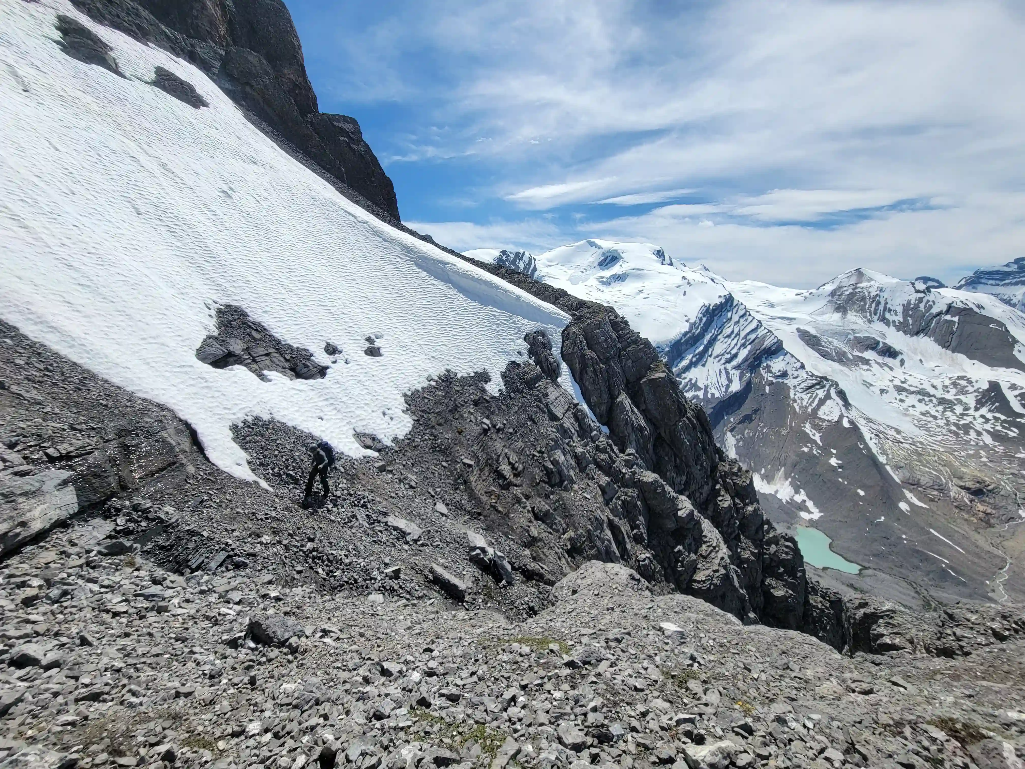
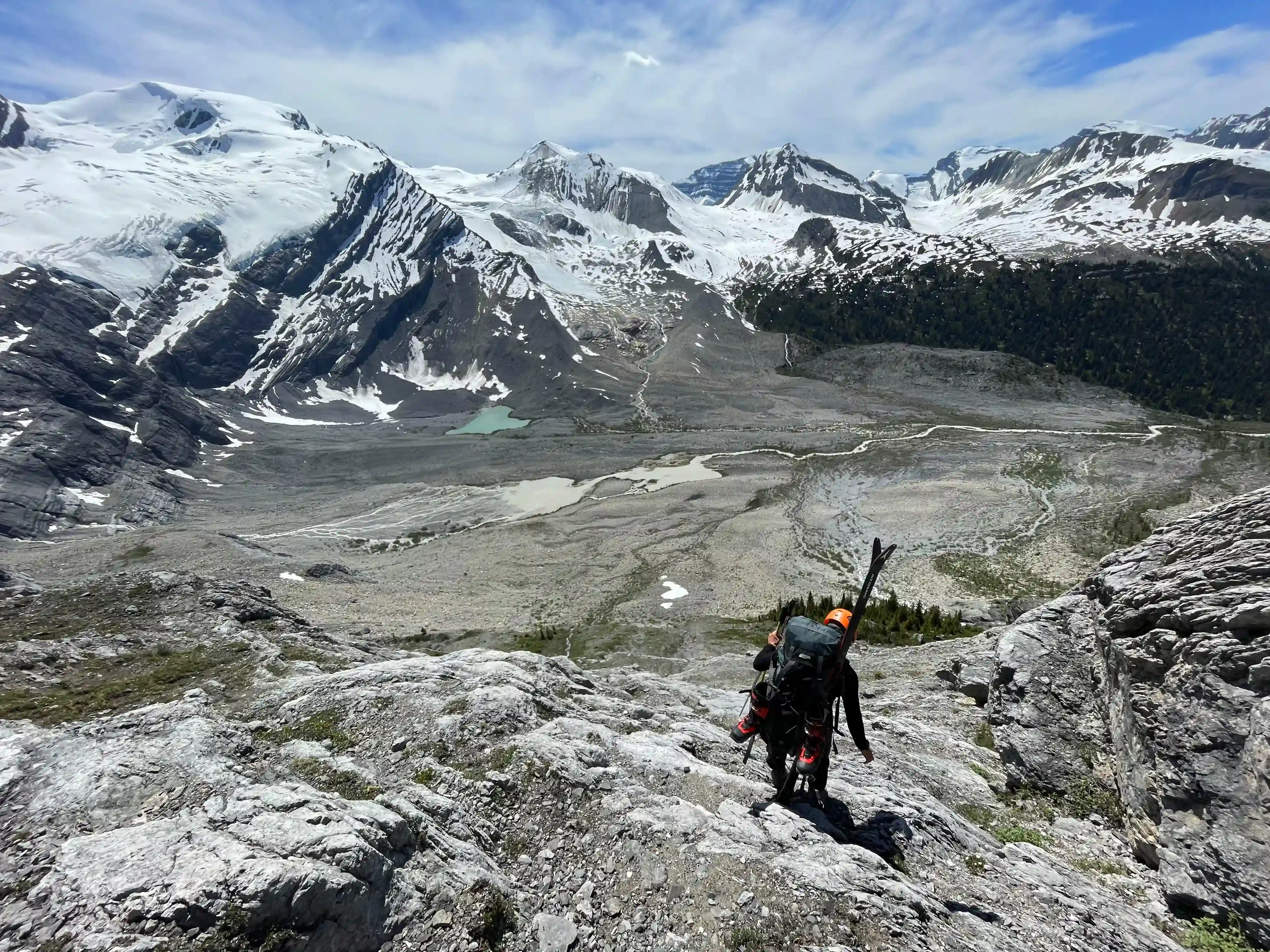
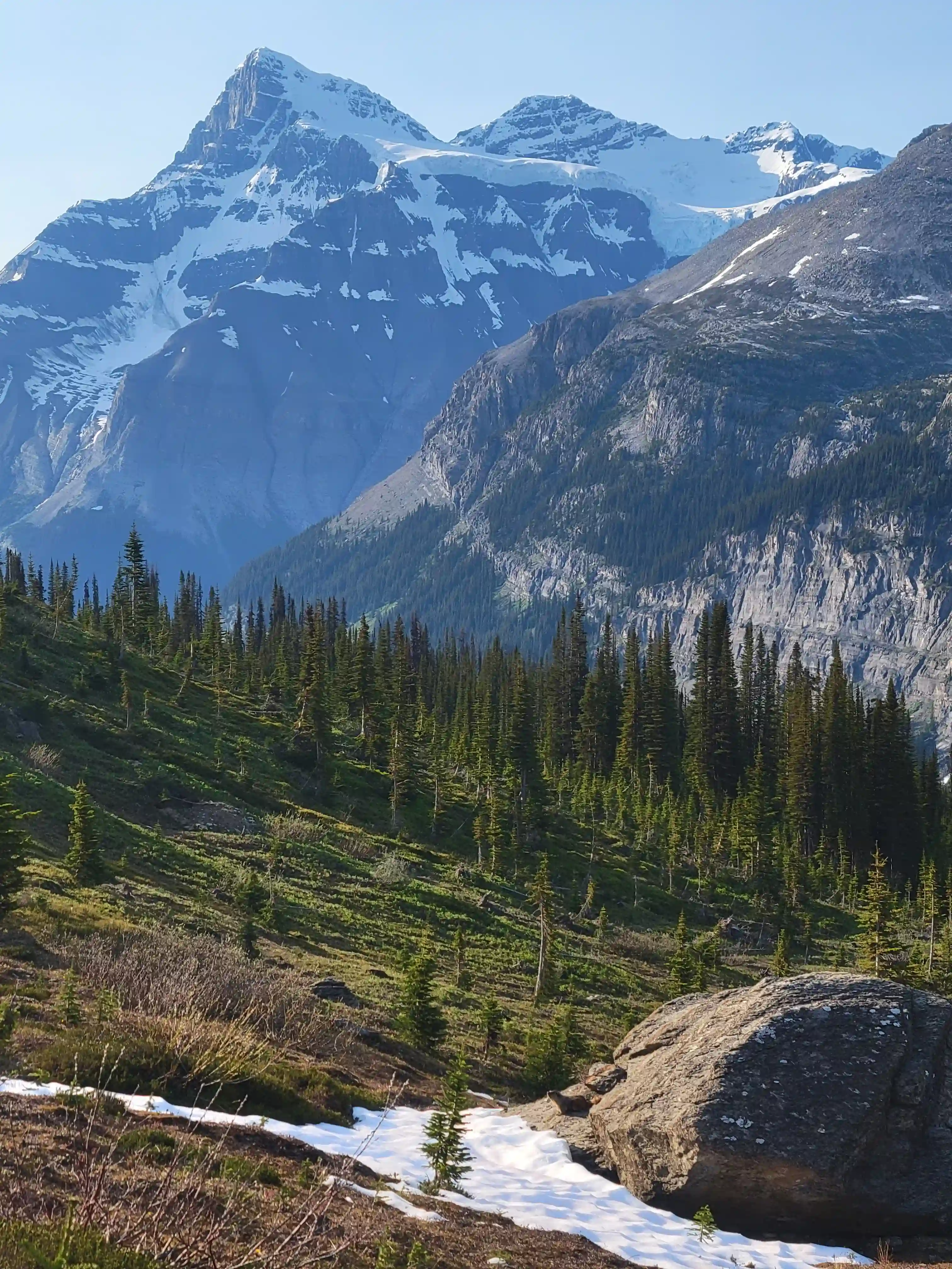
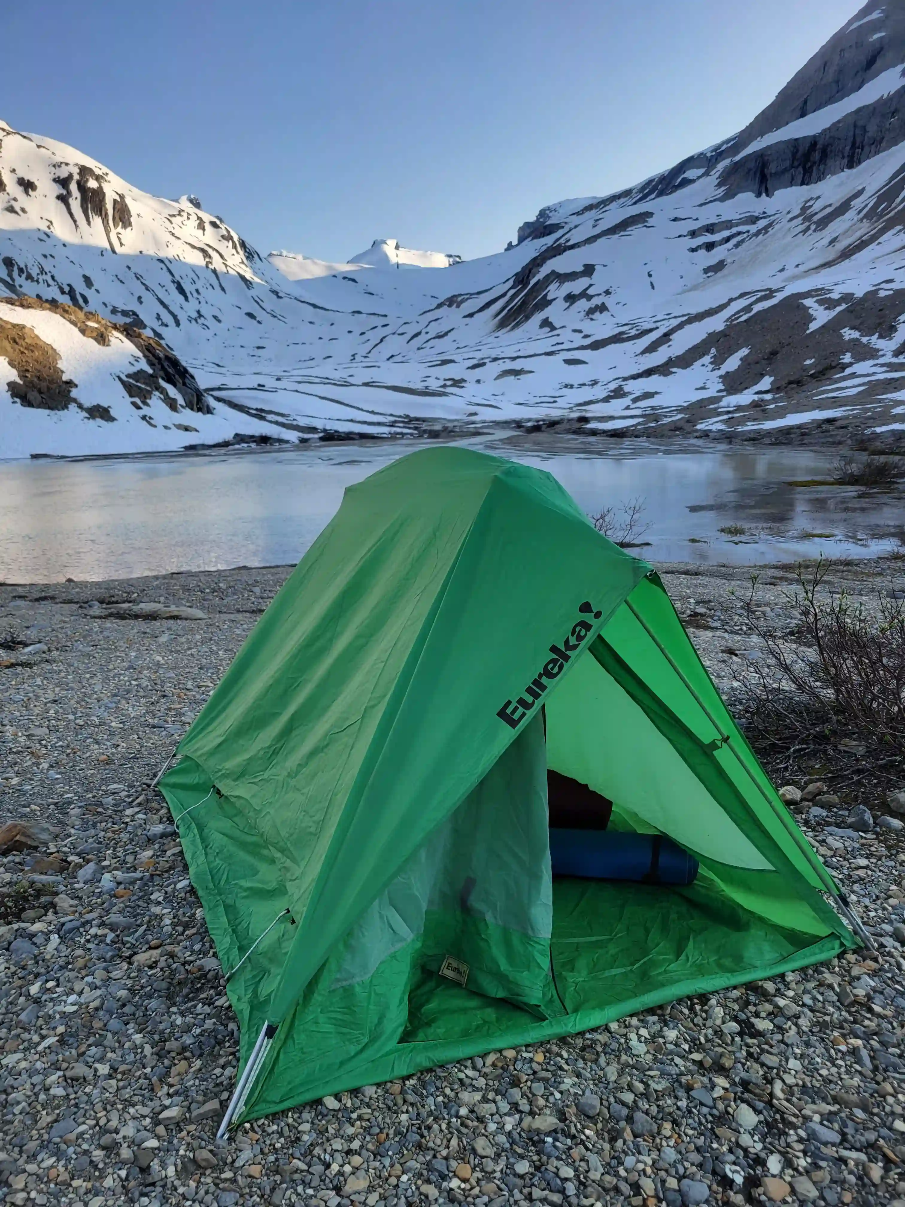
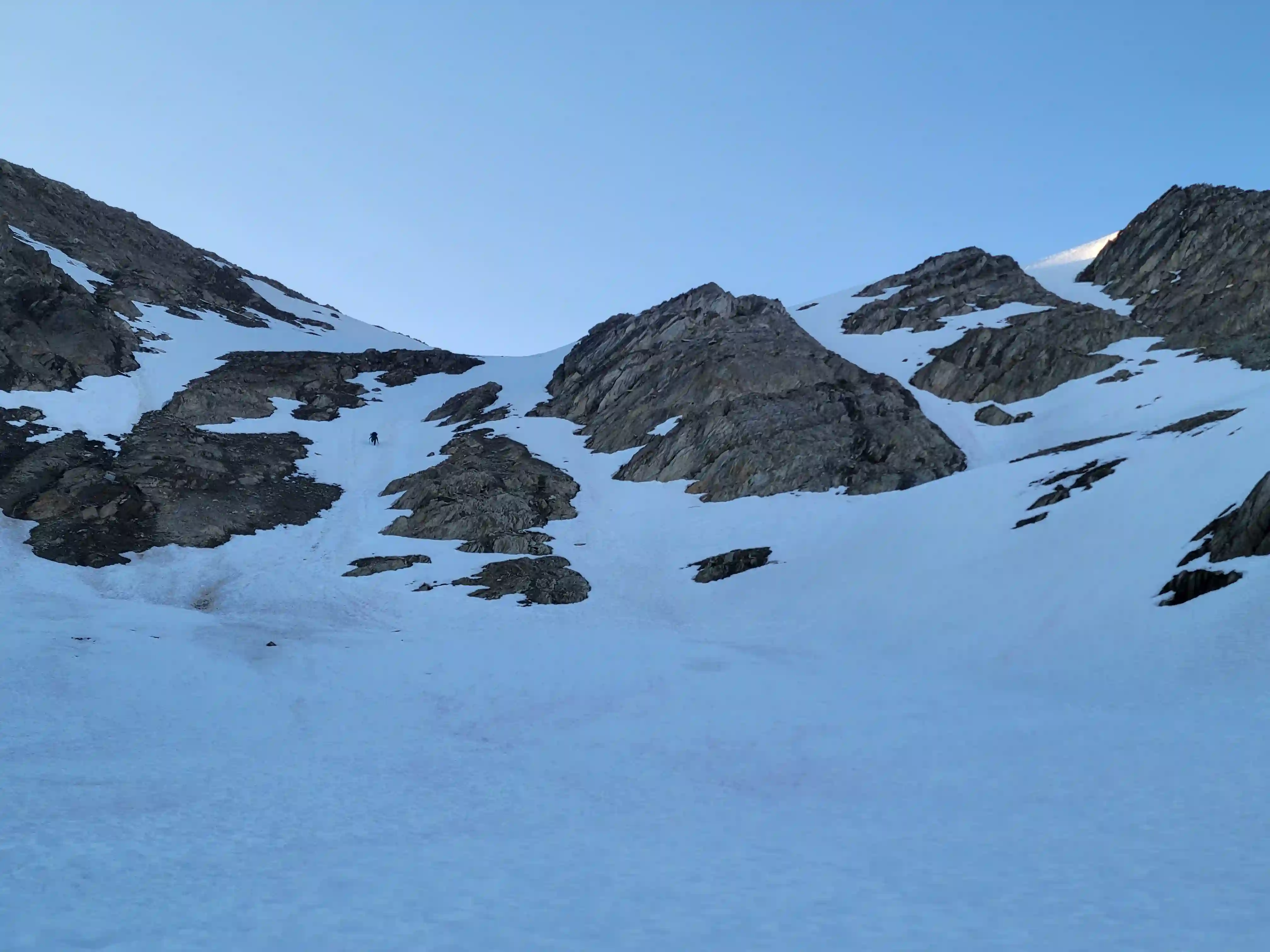
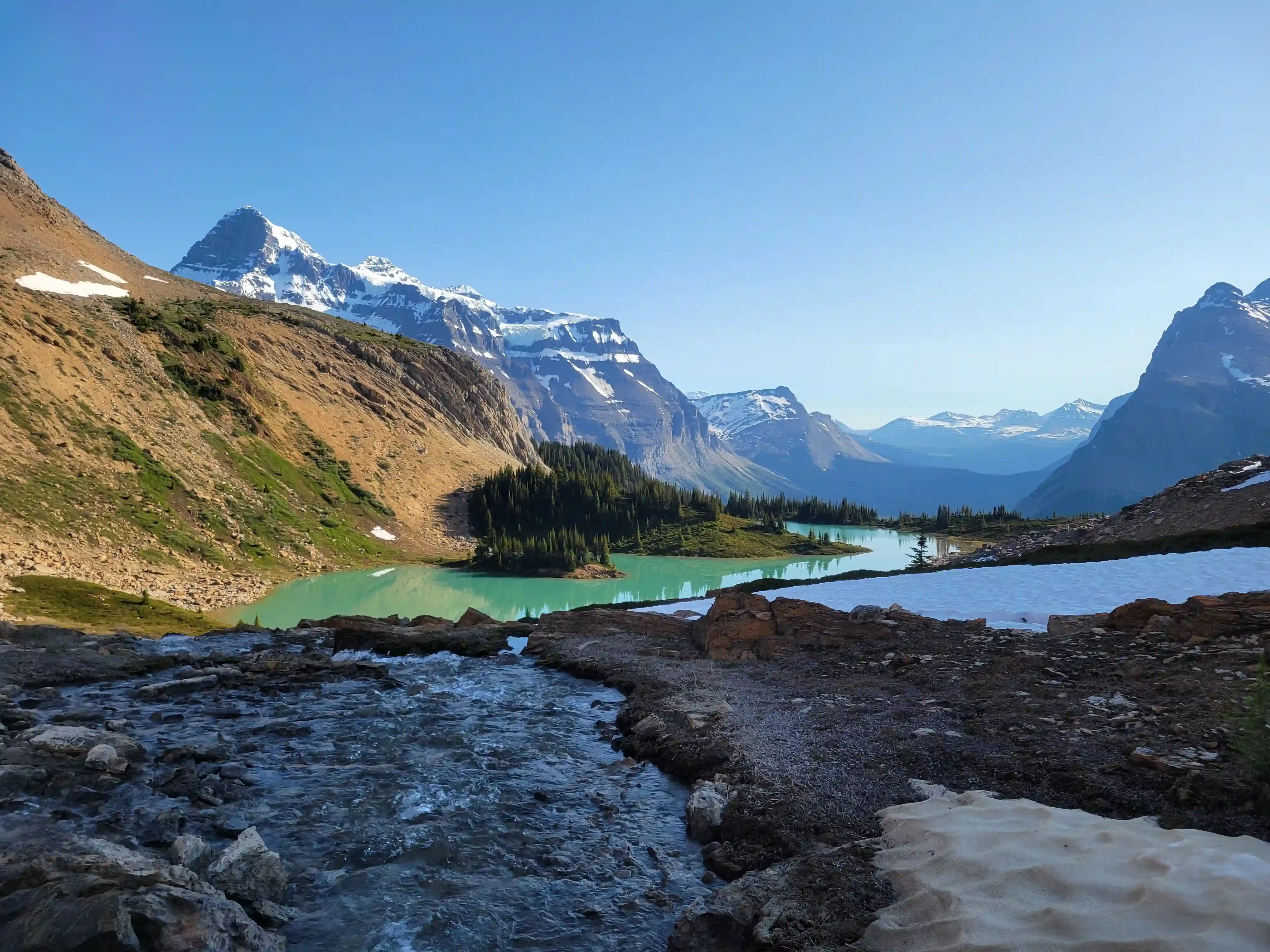
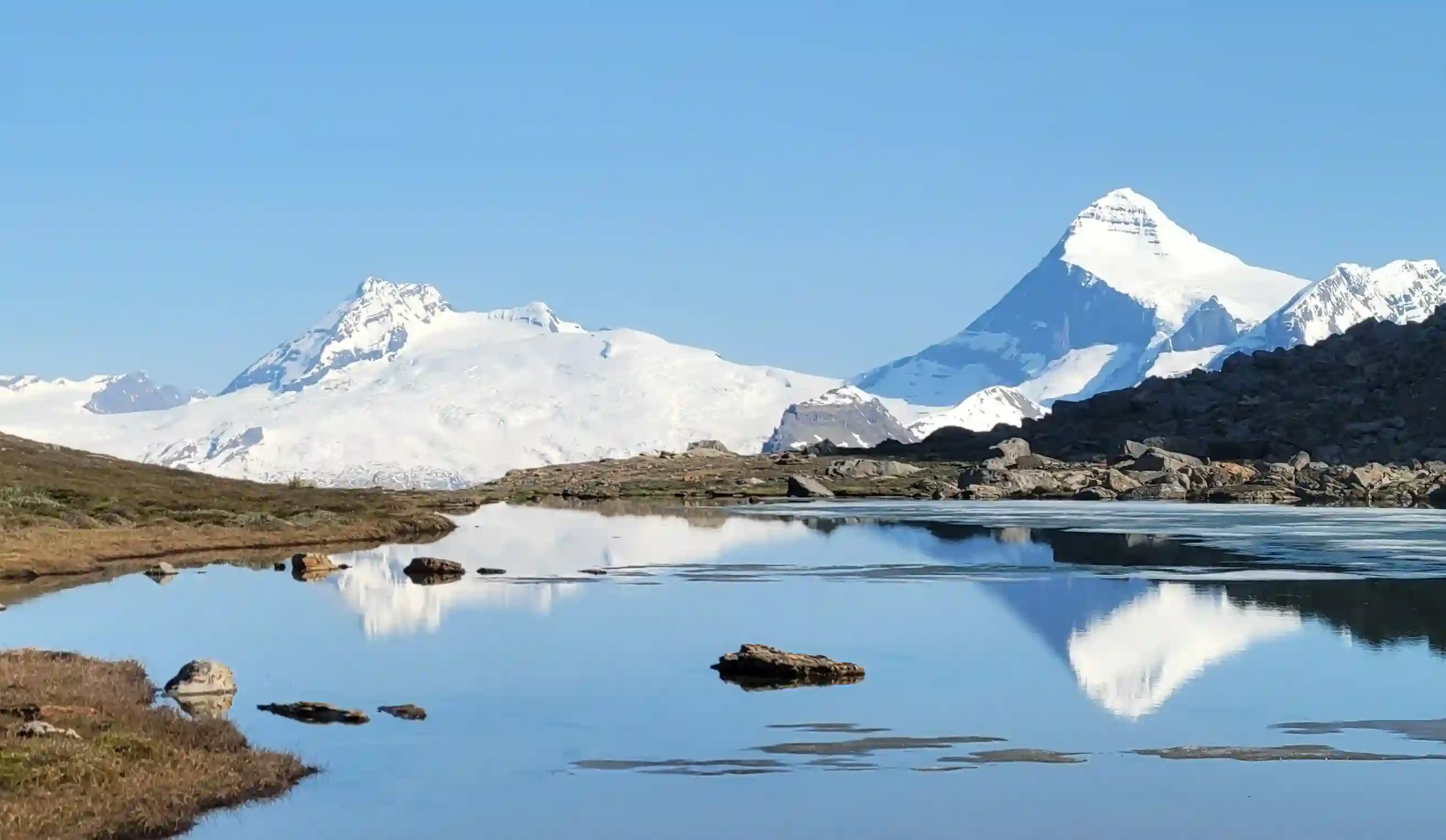
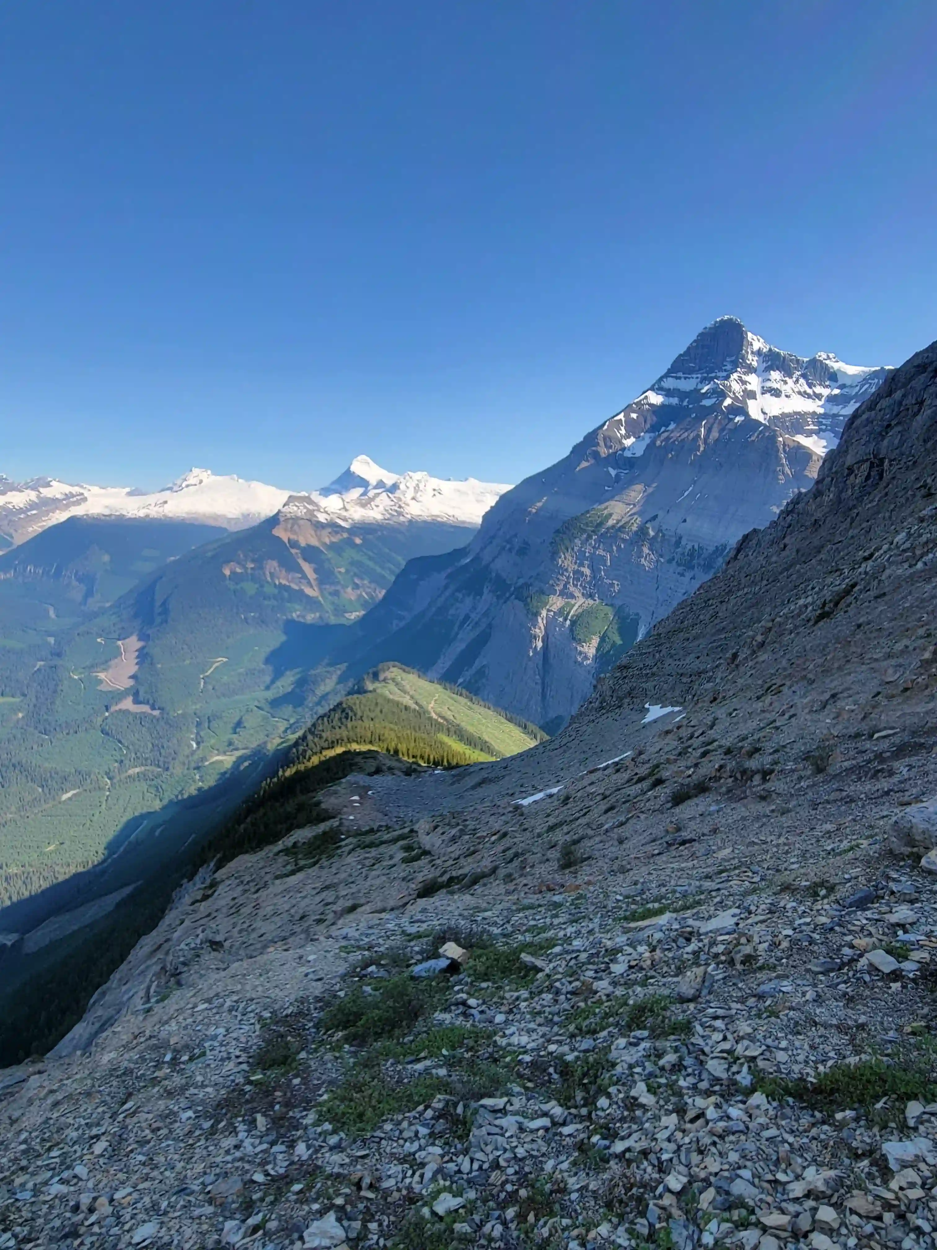
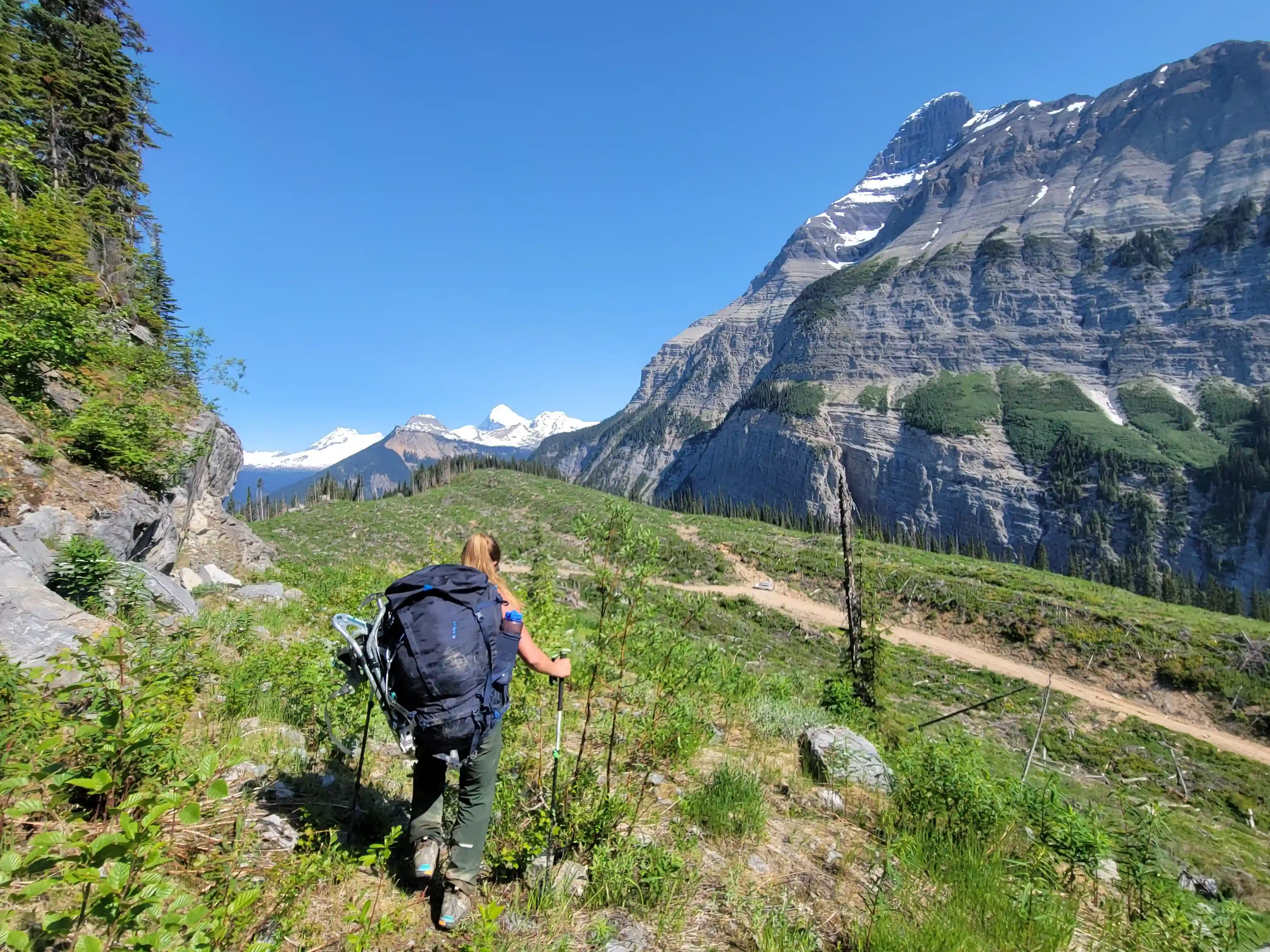
Initially we followed the road until it got overgrown and after bushwhacking for a few minutes got through and began the scree / boulder hopping portion of the approach which was a significant amount. The first, second, and third col were all straightforward to get to but required a sizable amount of elevation gain and loss so we knew we'd be in for a tough exit. Additionally after reaching the last col Mount Alexandra still looked far away so we weren't done yet and had to cover another good chunk of distance through treed terrain to eventually reach the lakeside campsite just before sunset.
links:
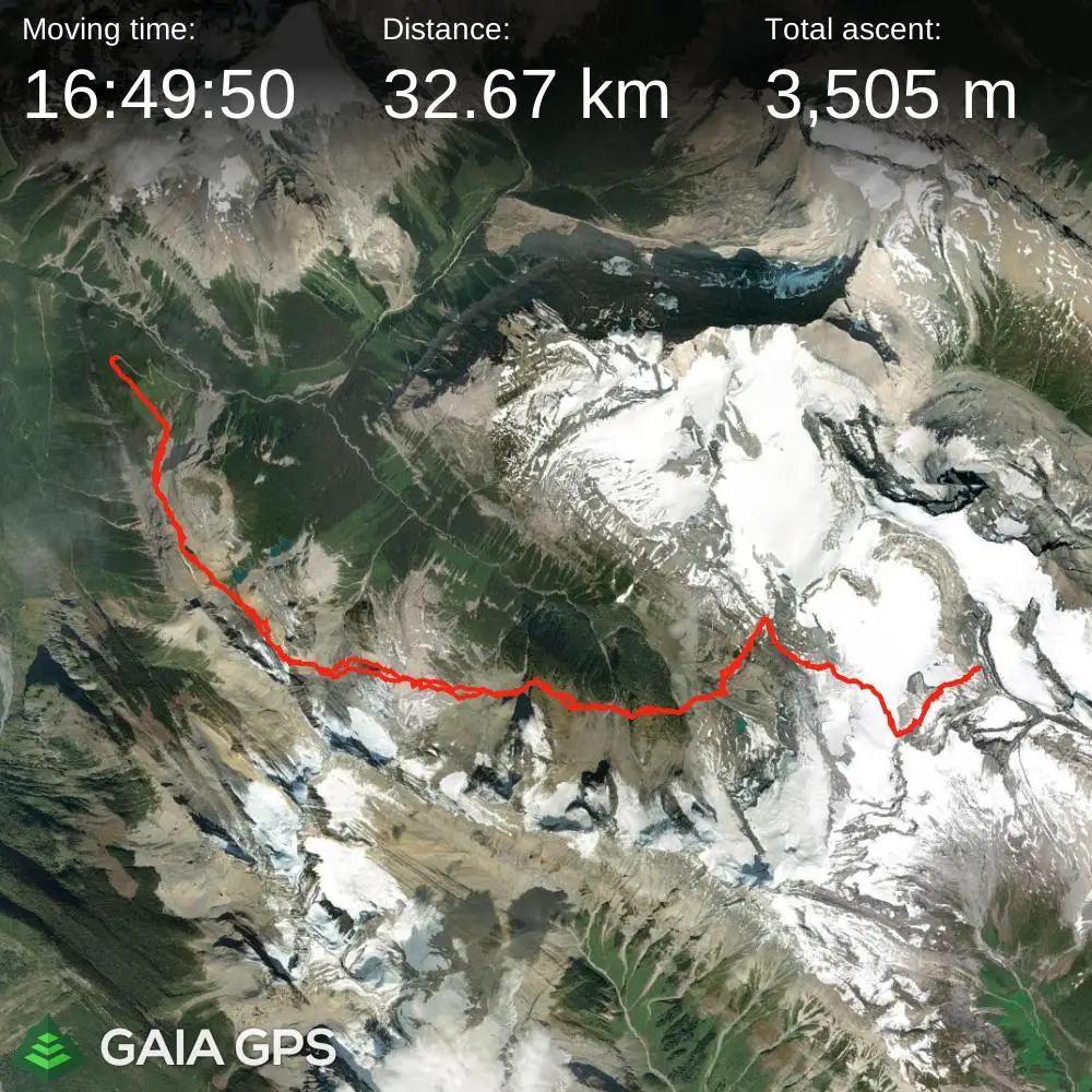
STRAVA
|
GAIA
elapsed time: 48hrs
DIFFICULTY: AD-/AD, glacier travel, steep snow climbing, low 5th class up to 5.2, multiday, remote
Use the following links to jump to:
Follow the journey
I'll send you an email when a new trip report drops.
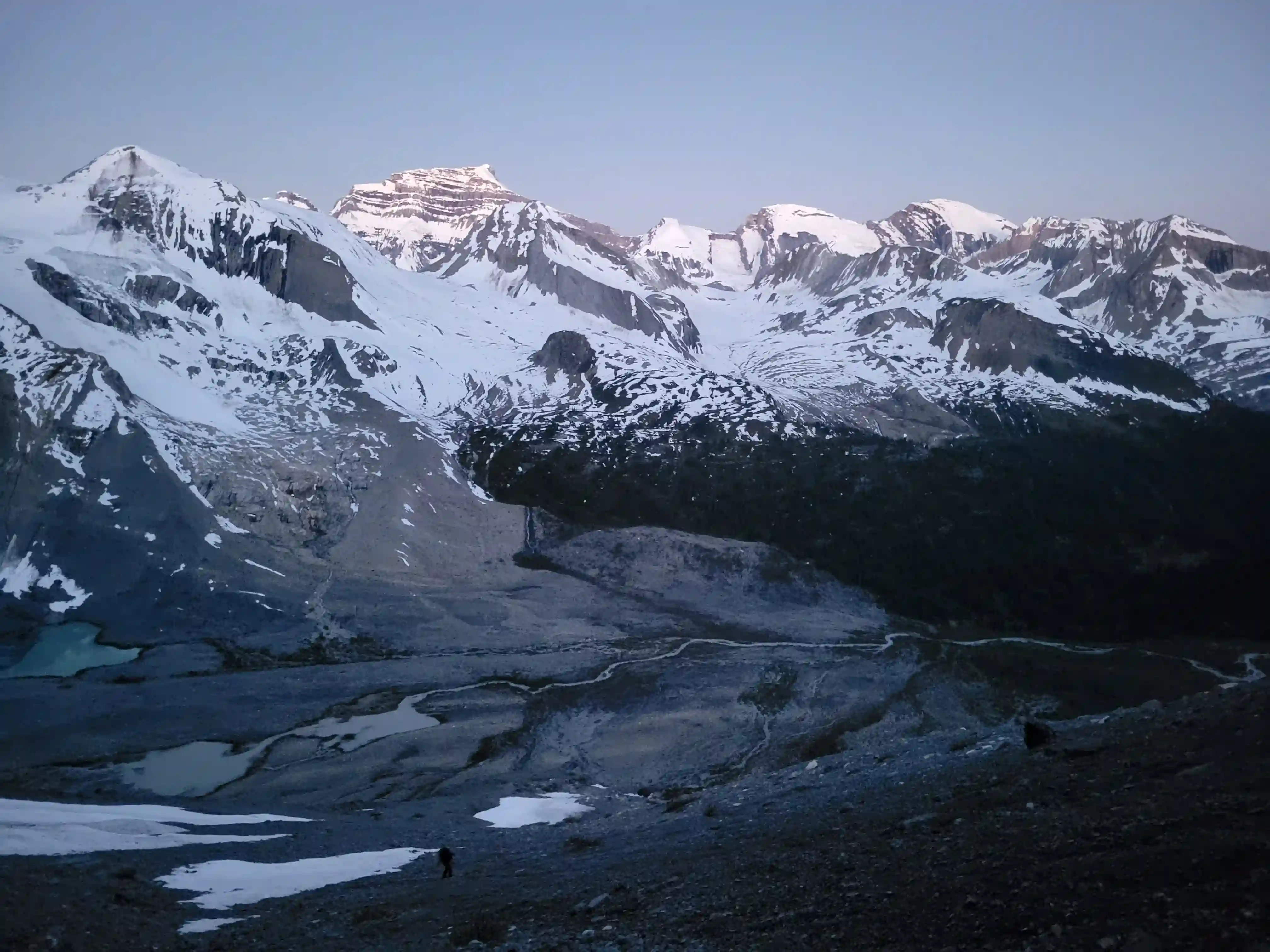
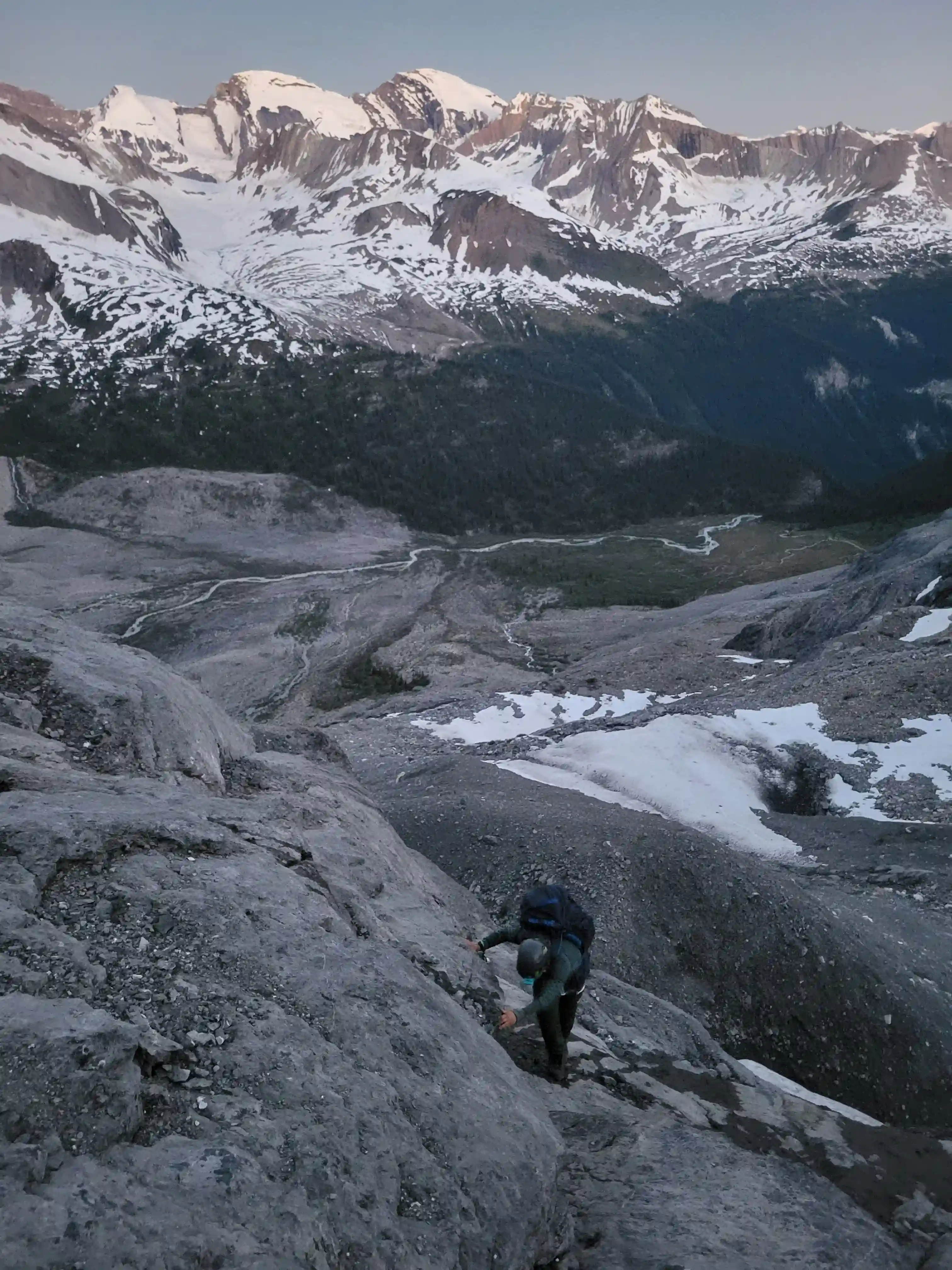
THE APPROACH
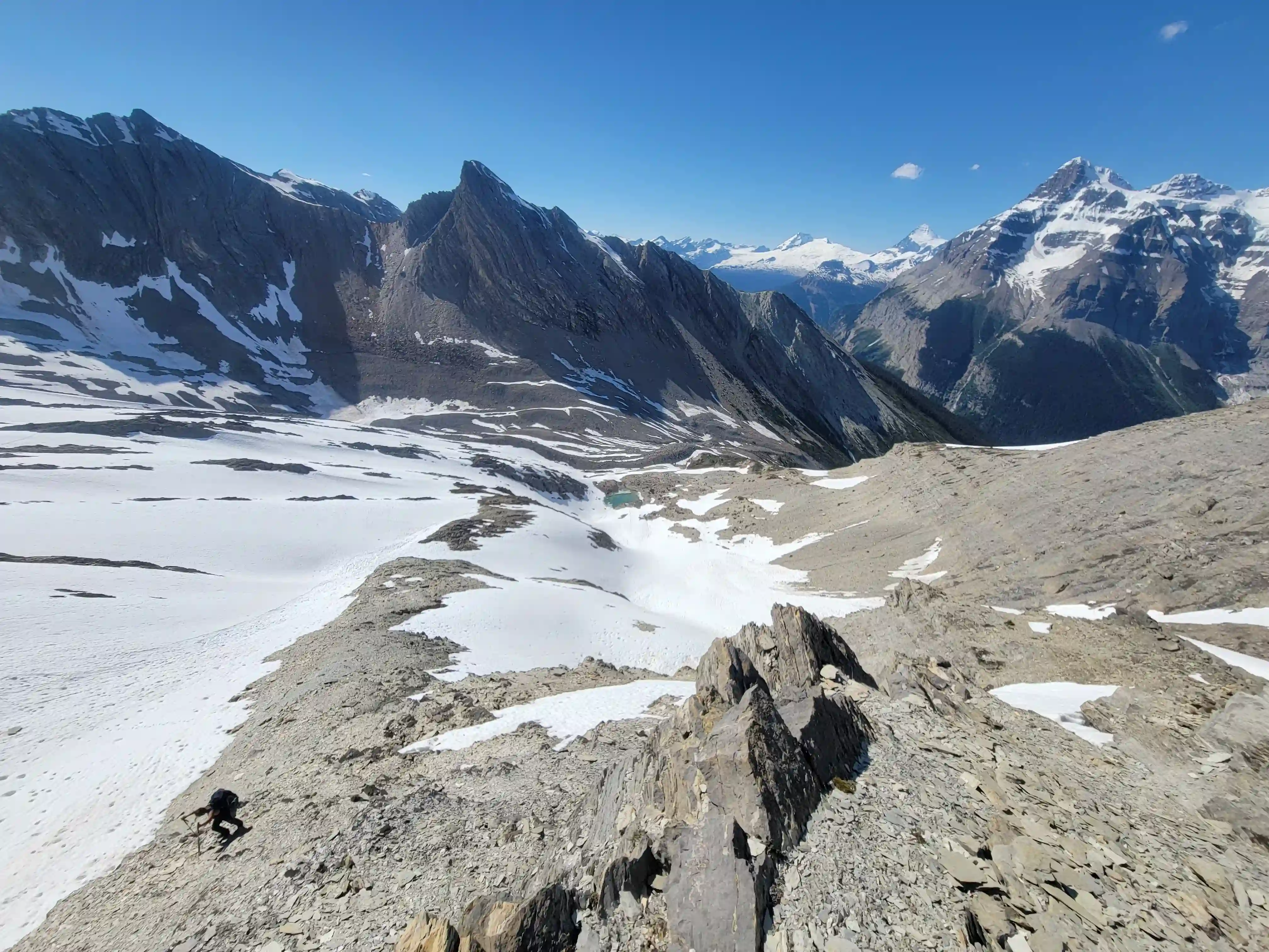
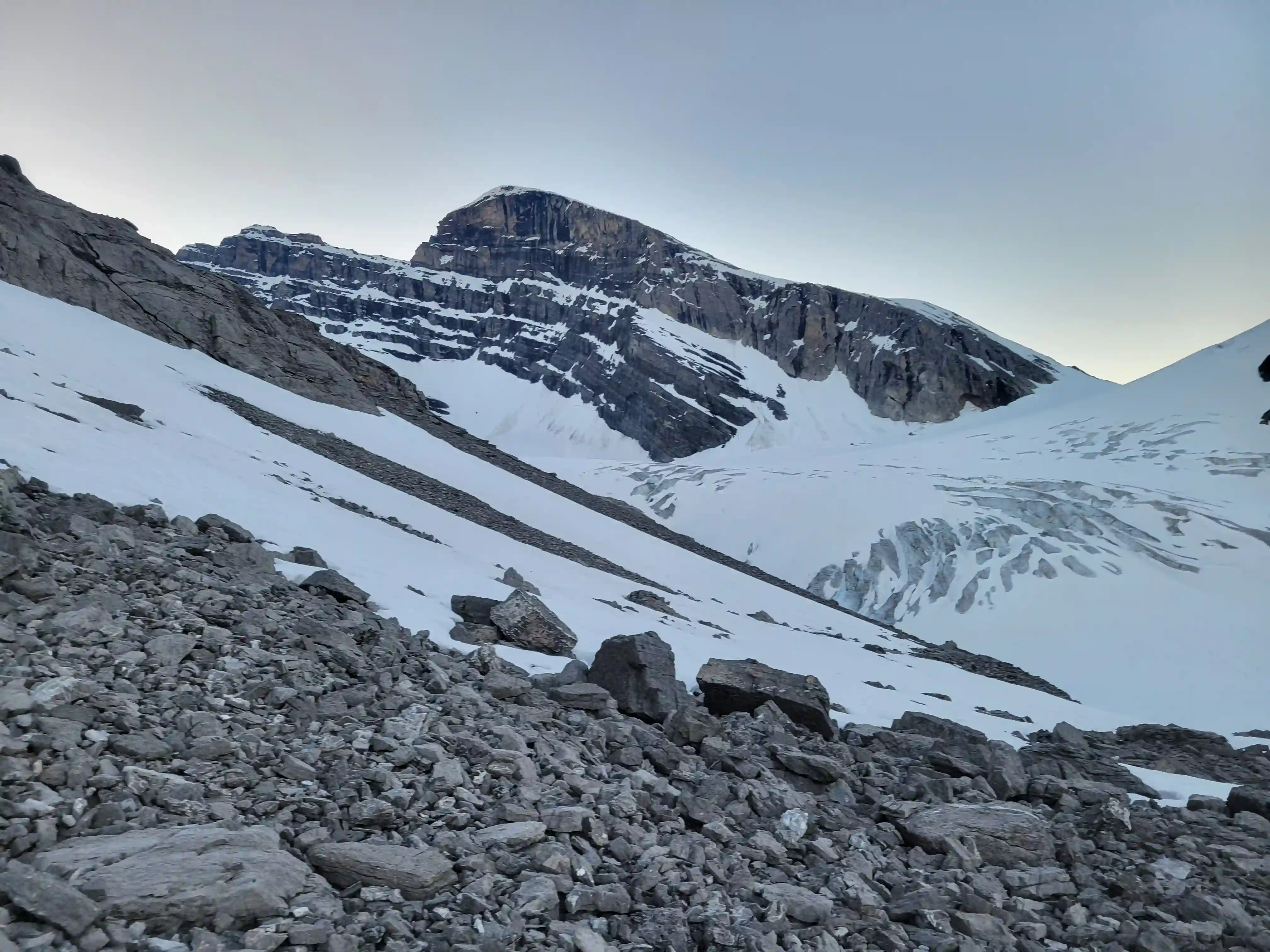
THE CLIMB
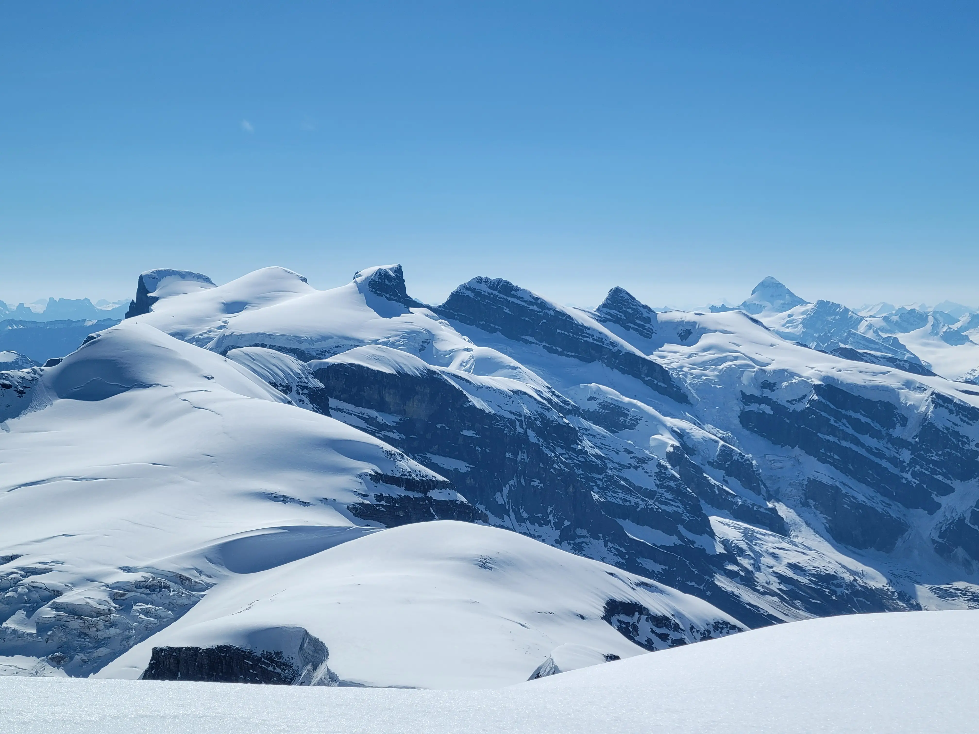
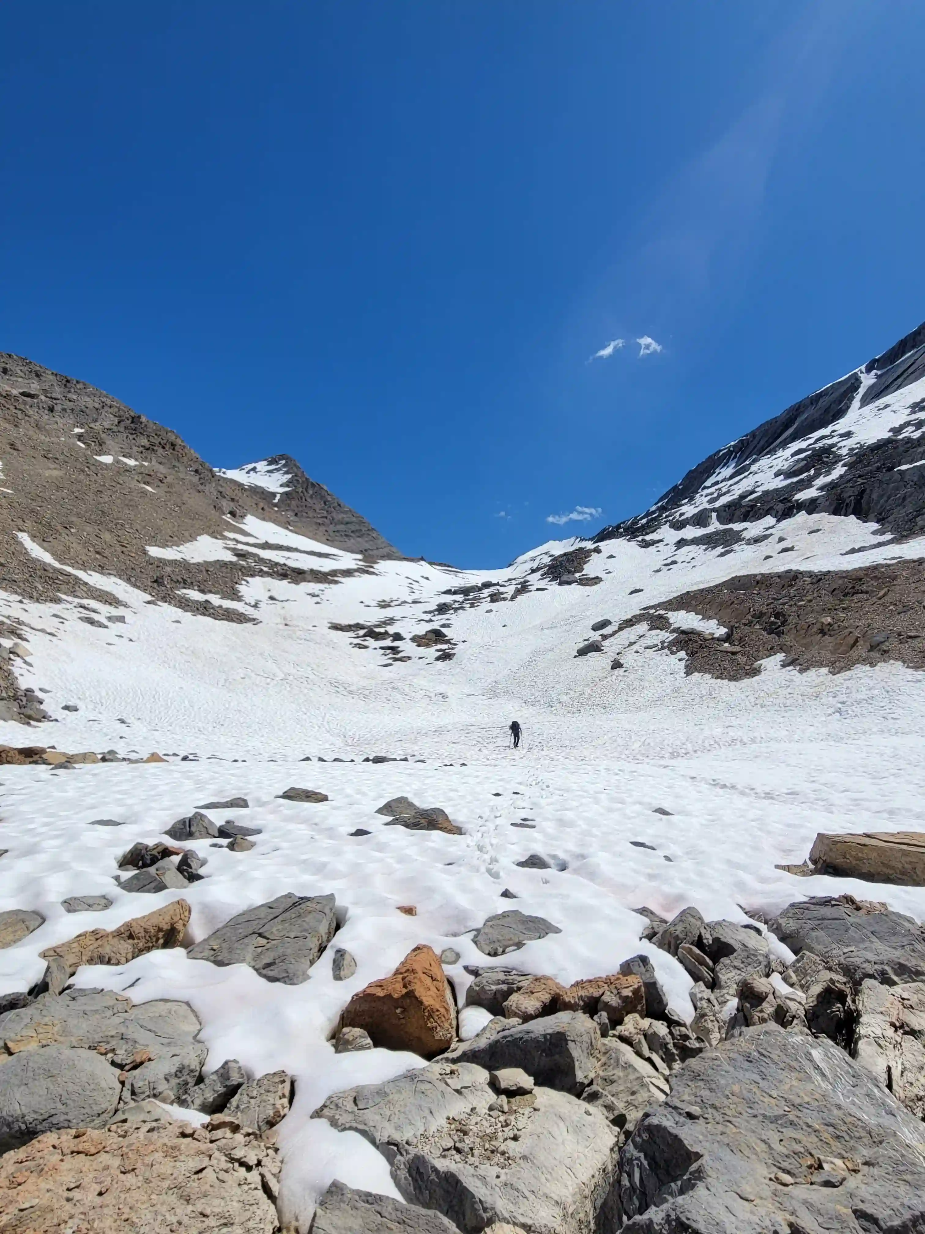
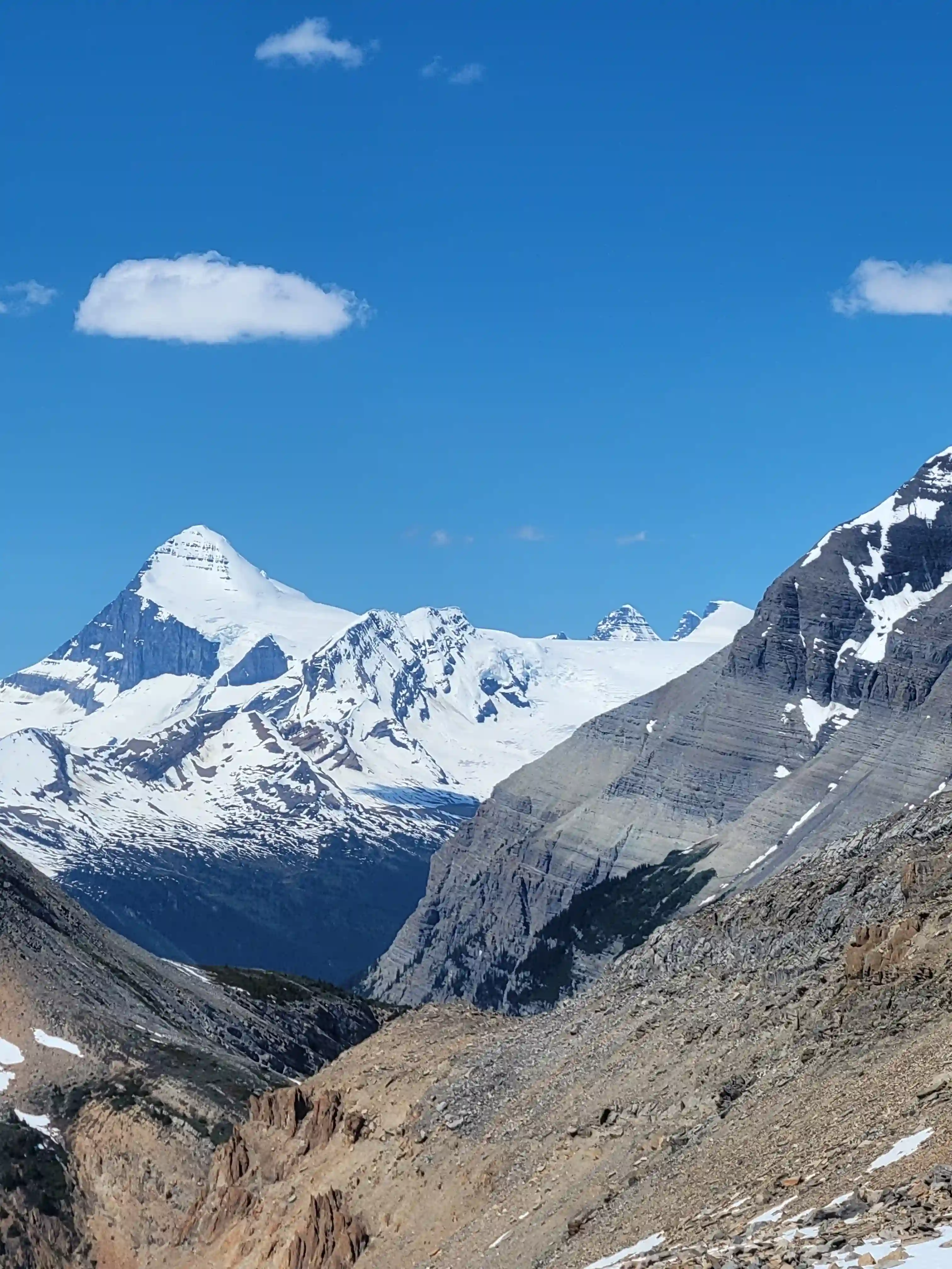
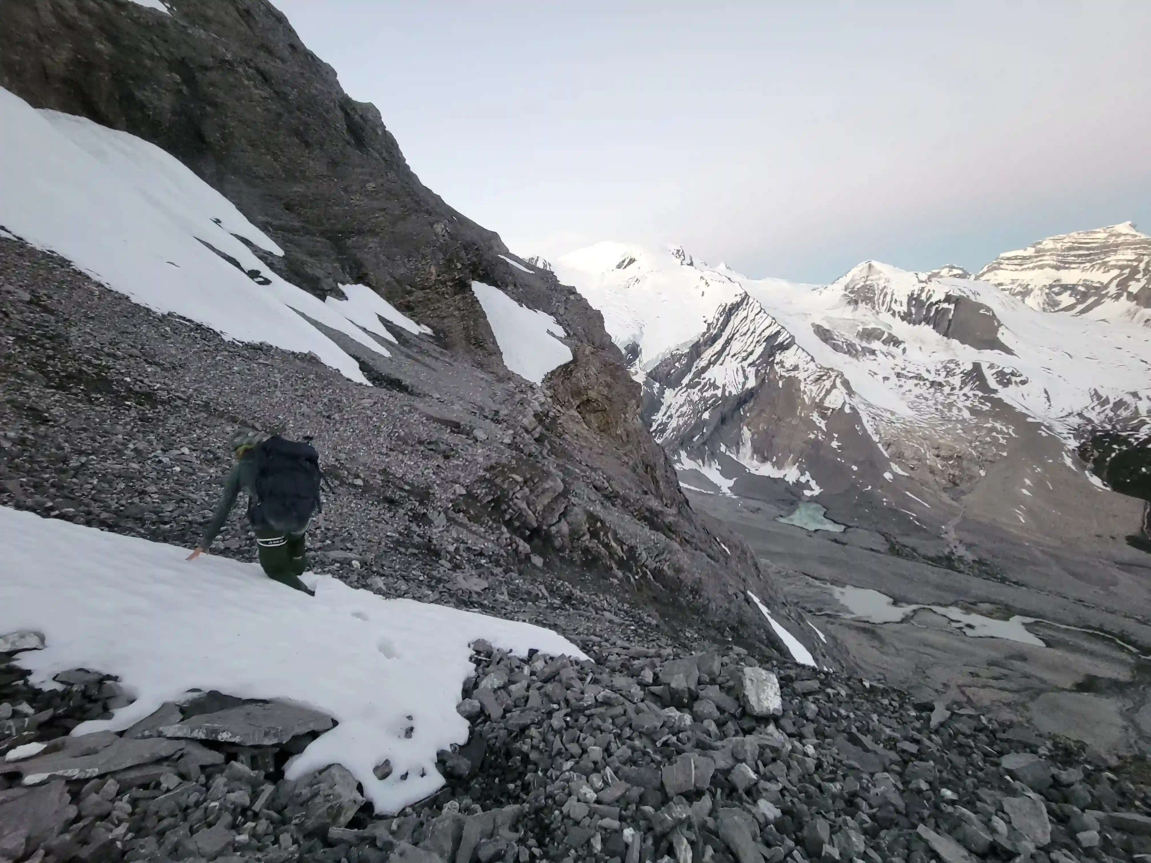
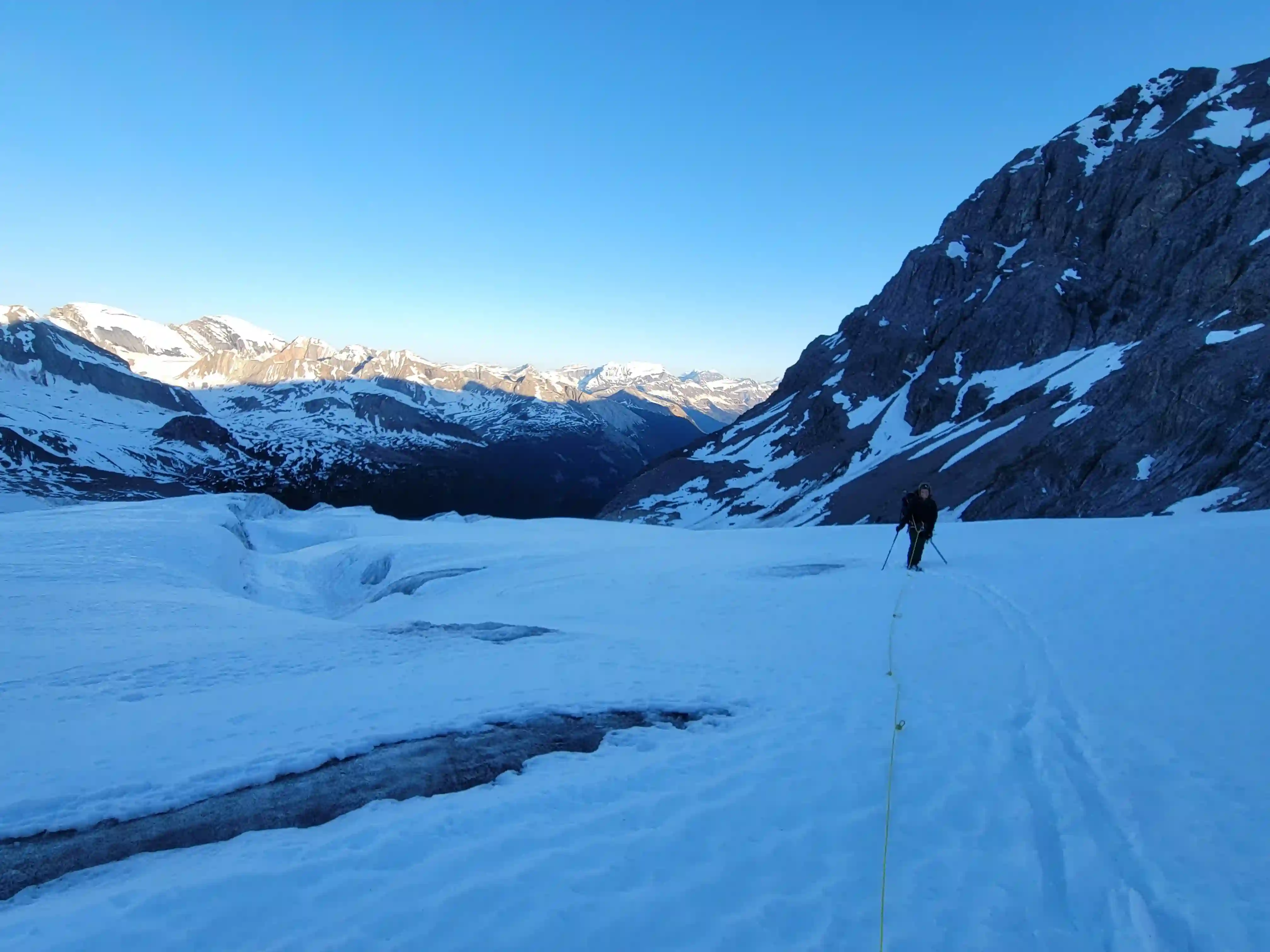
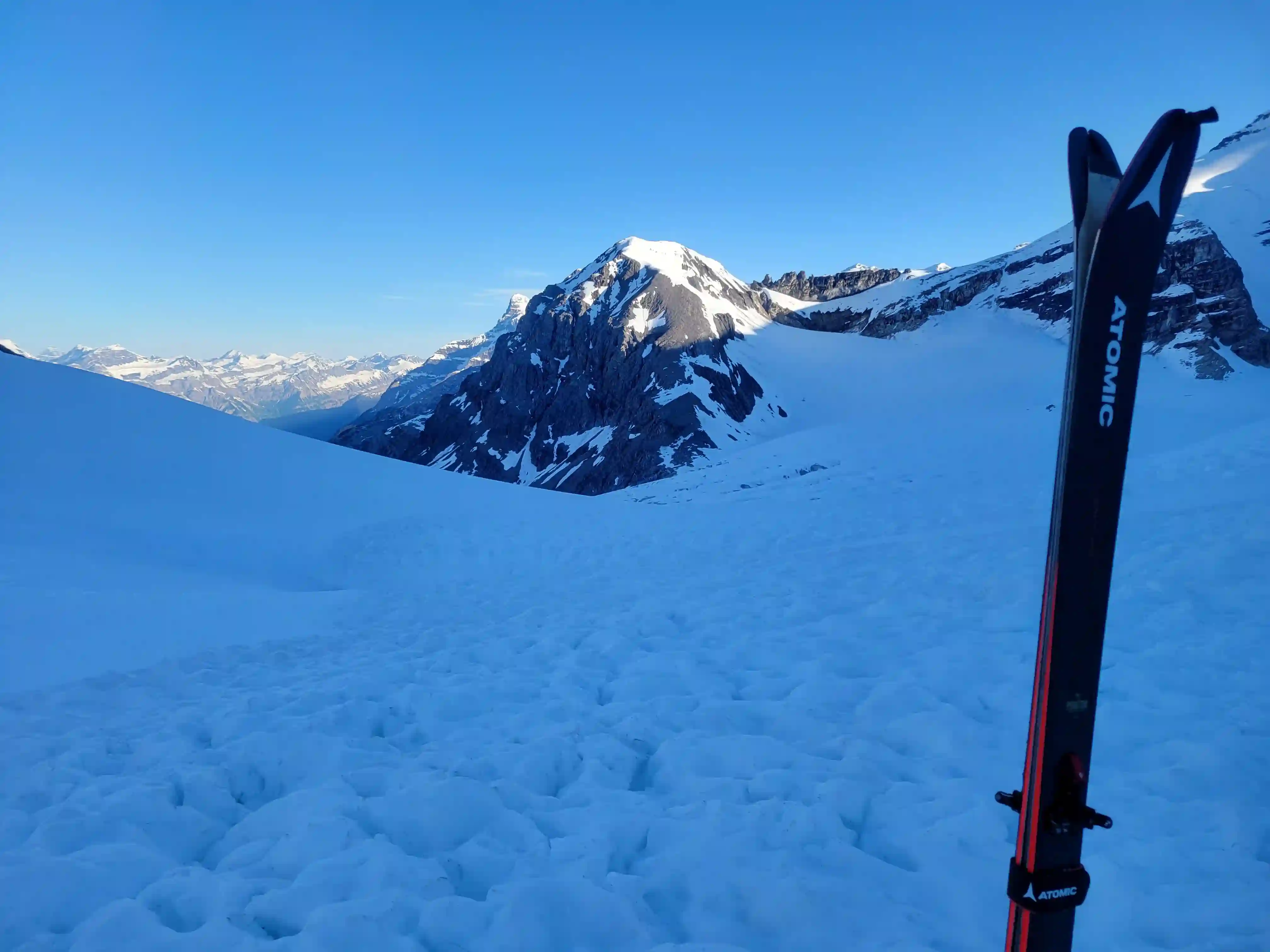
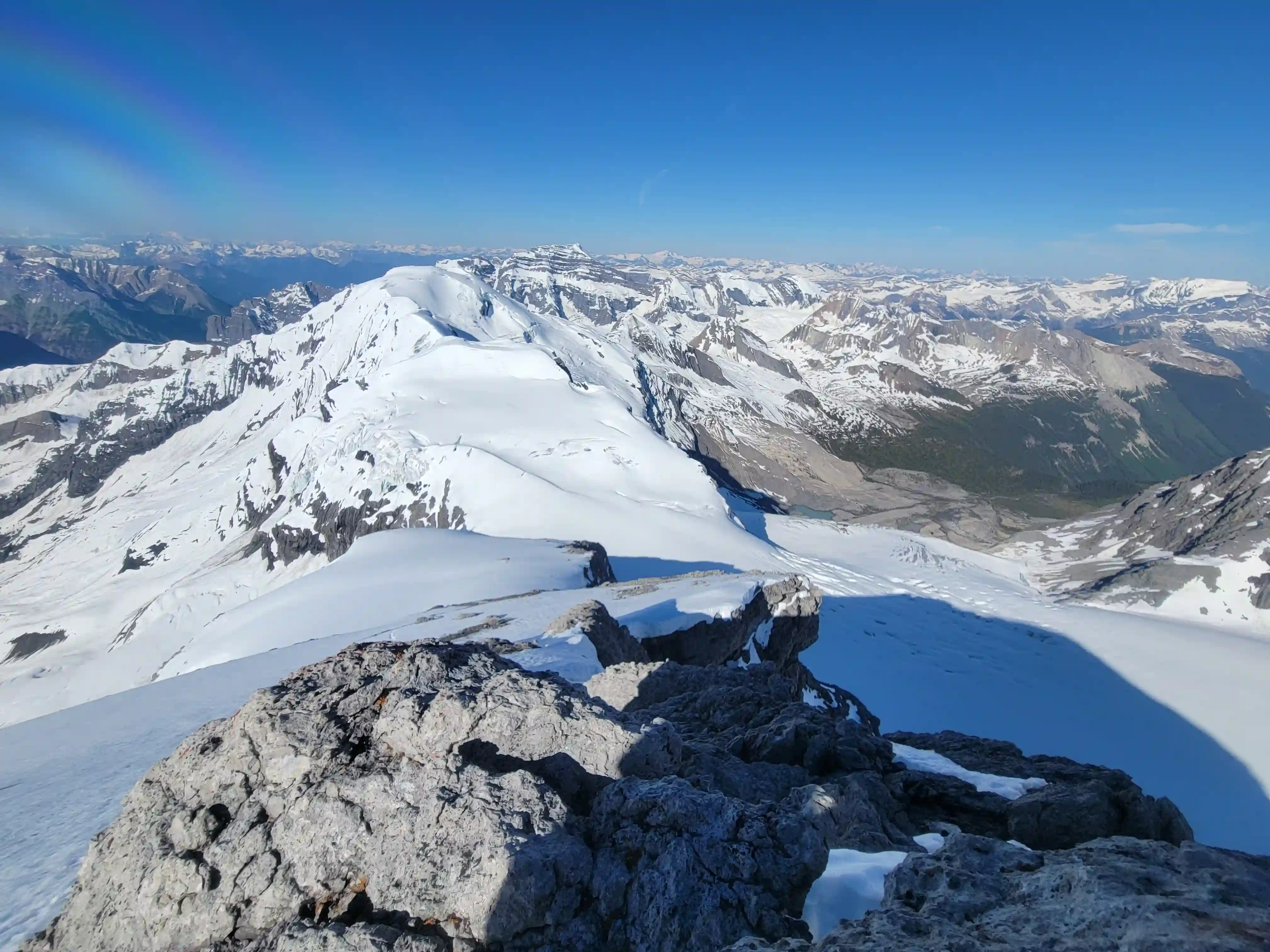
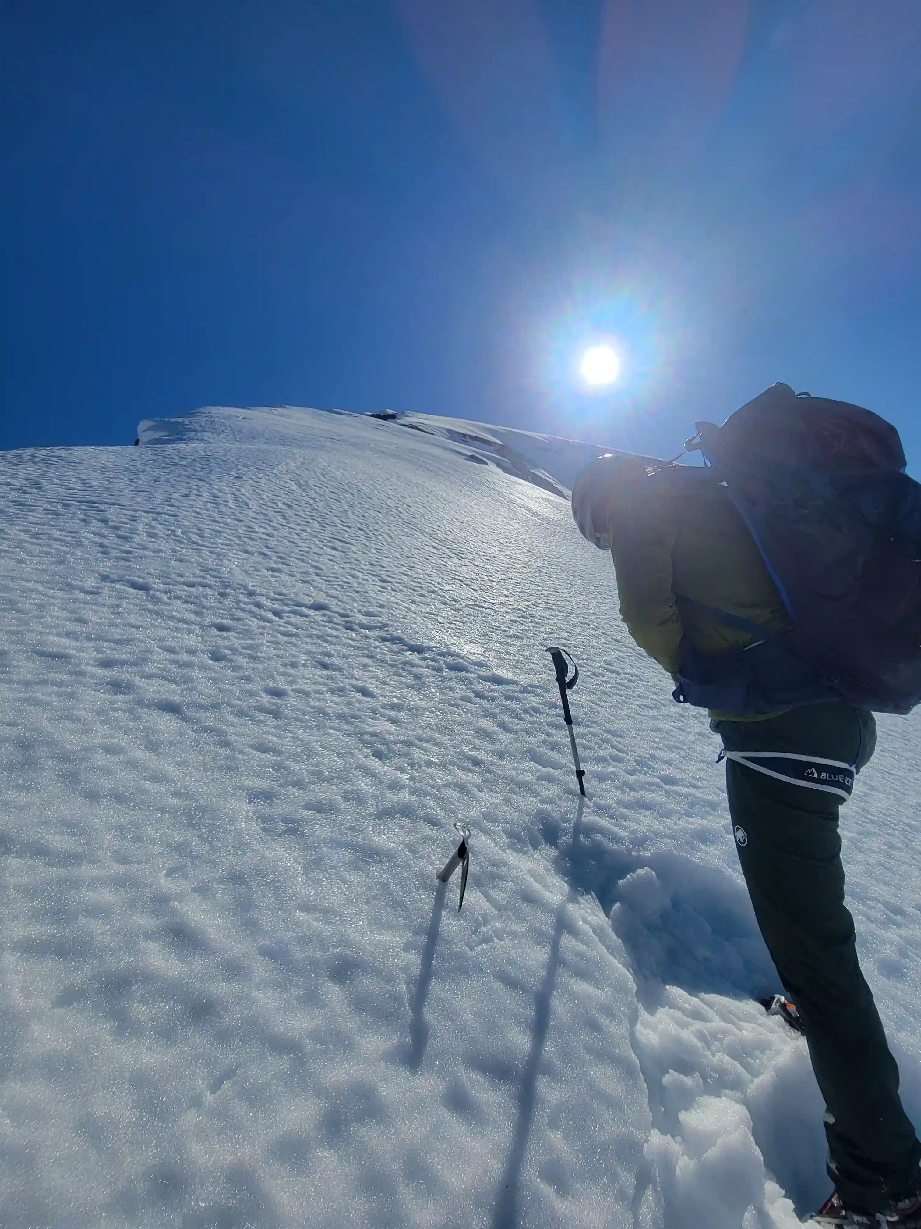
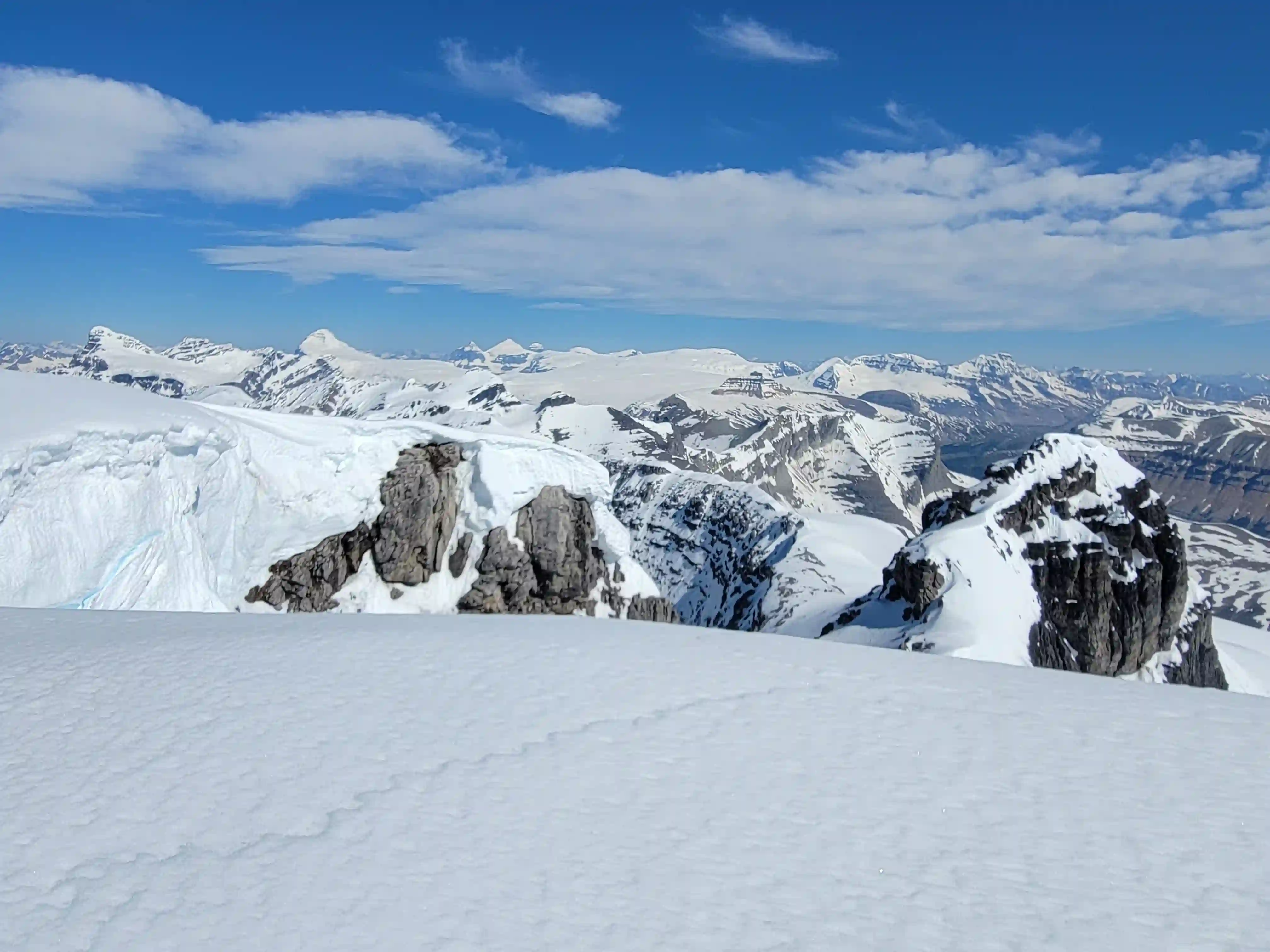
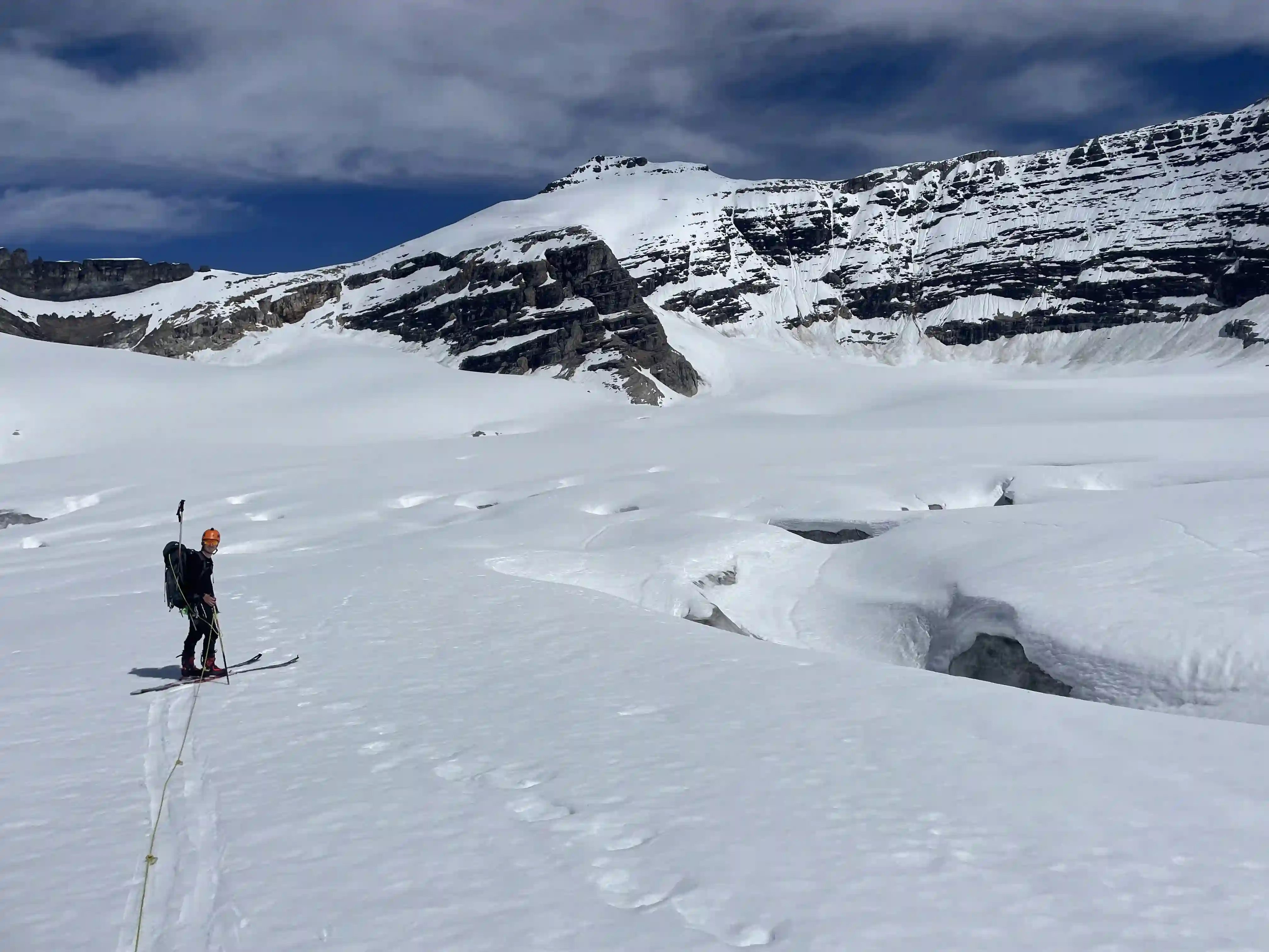
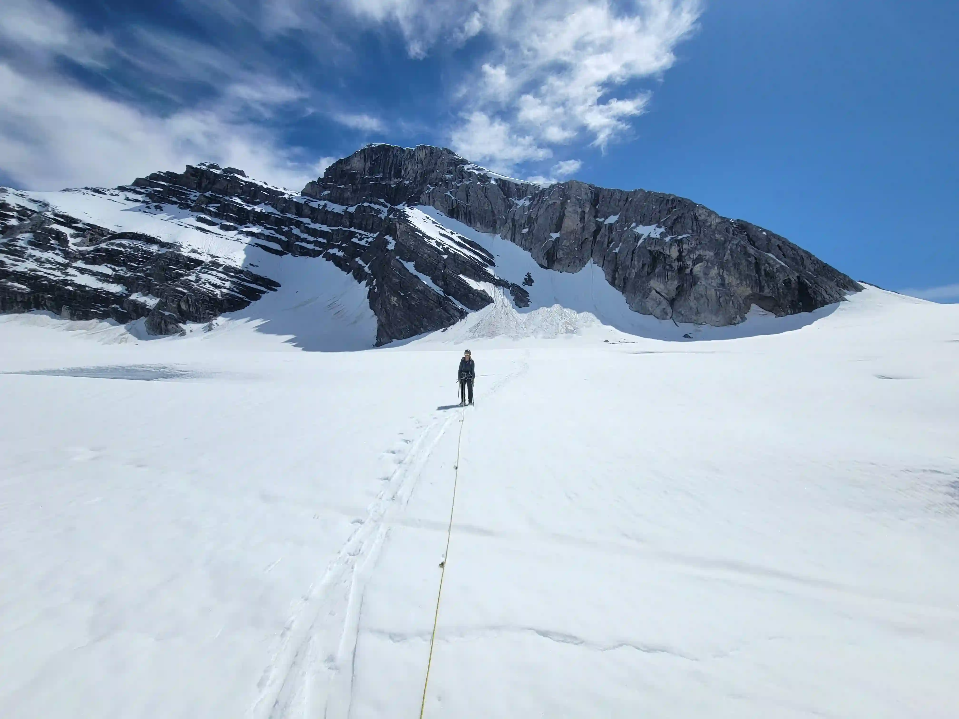
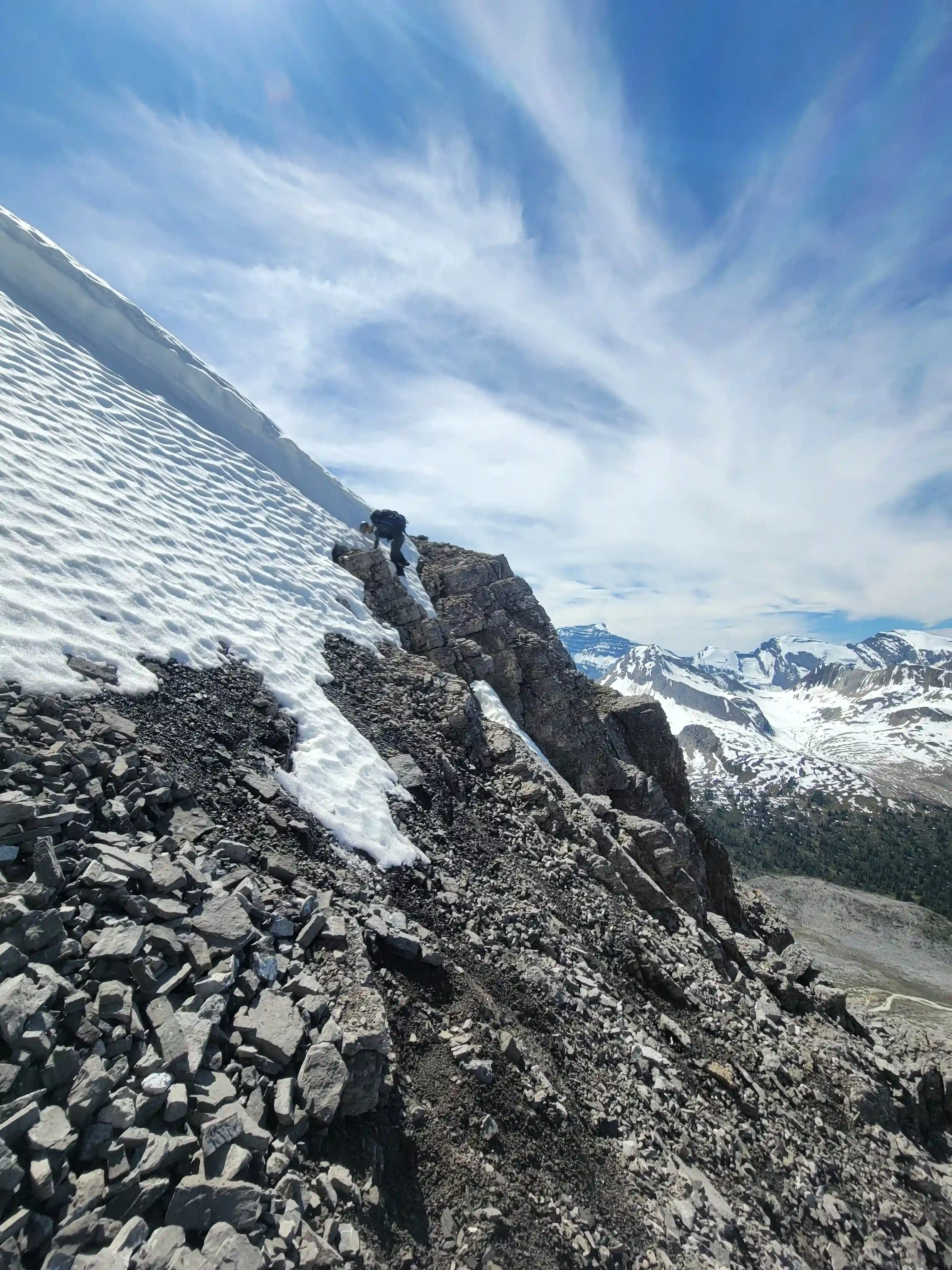
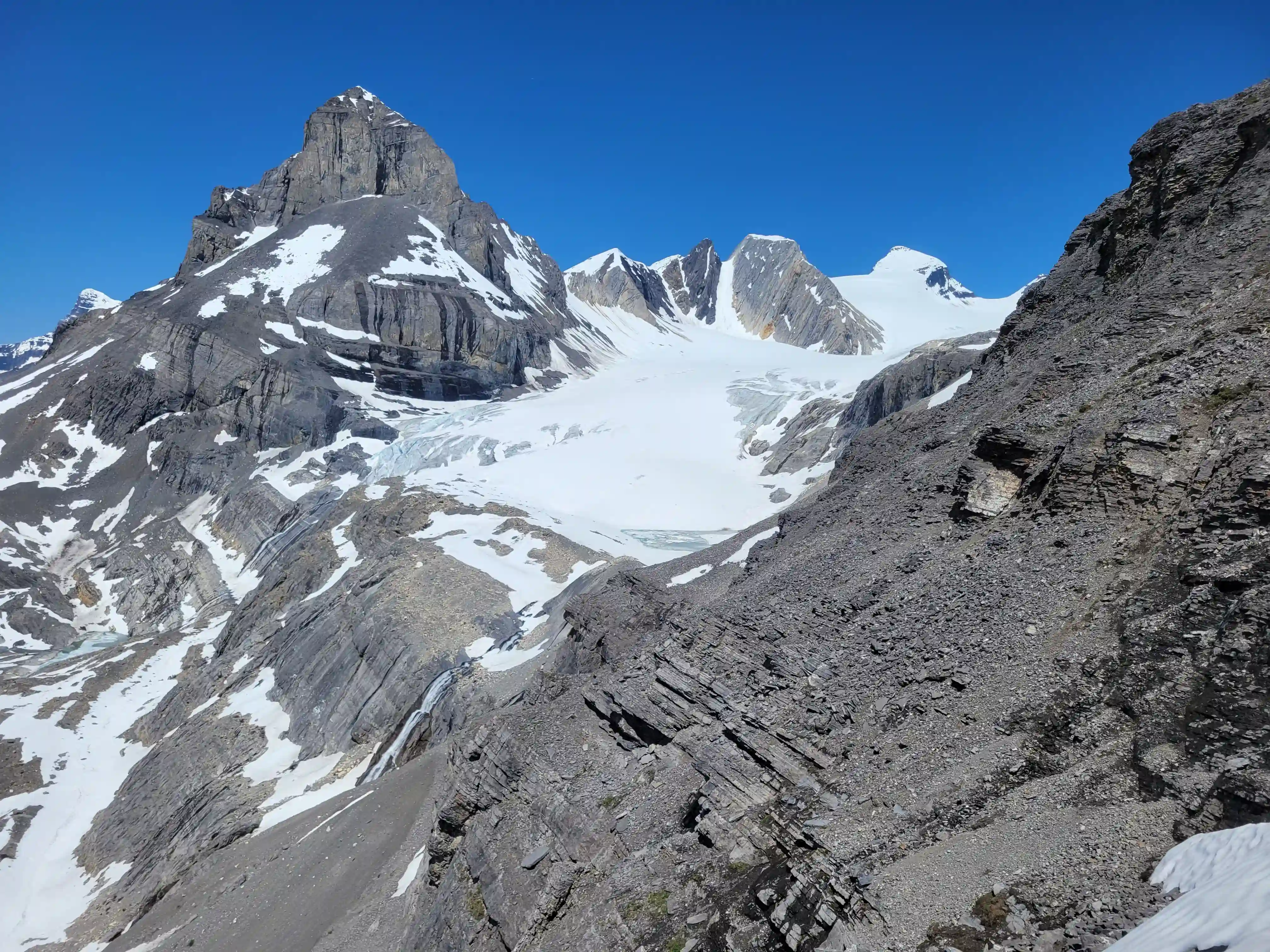
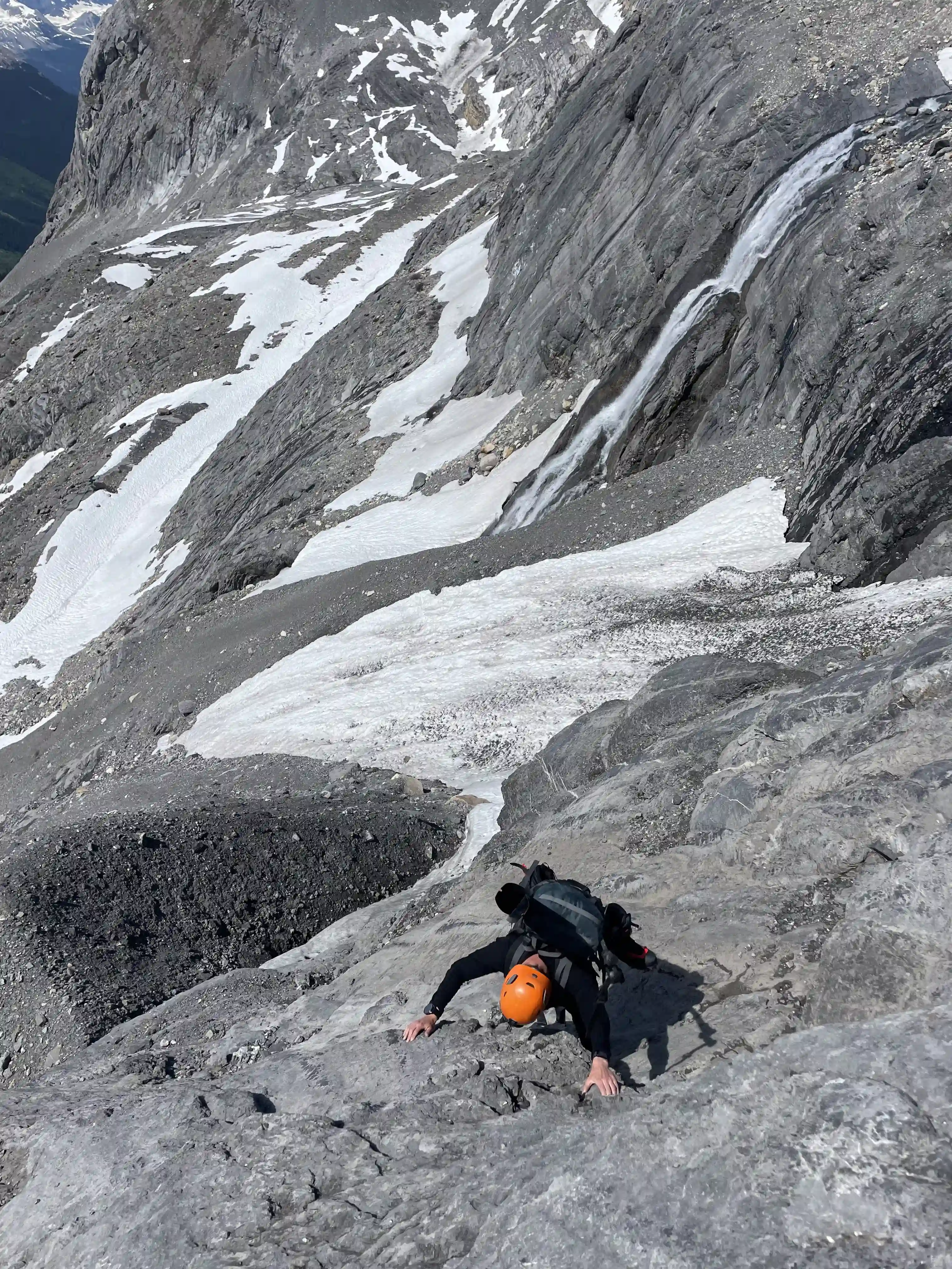
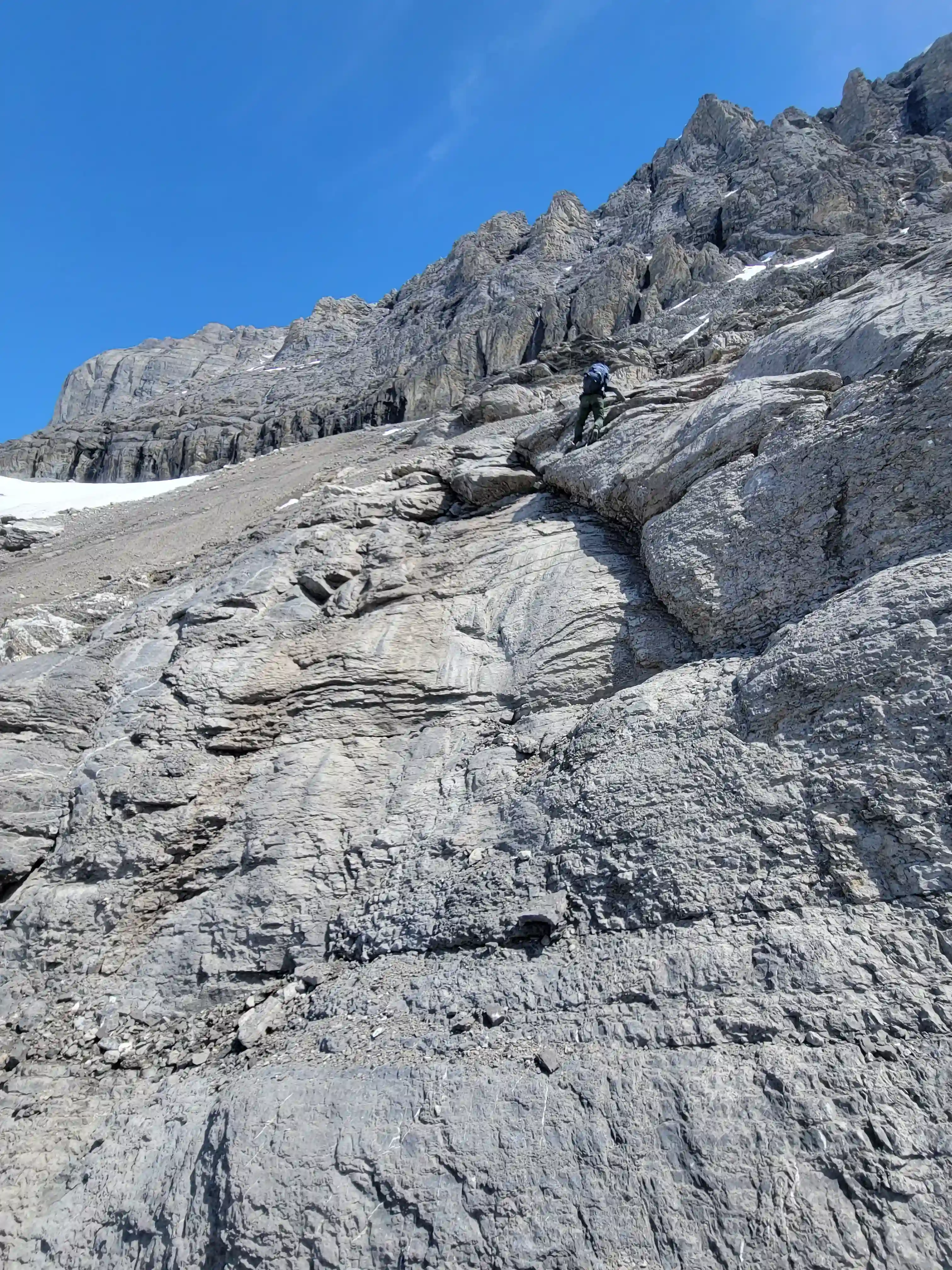
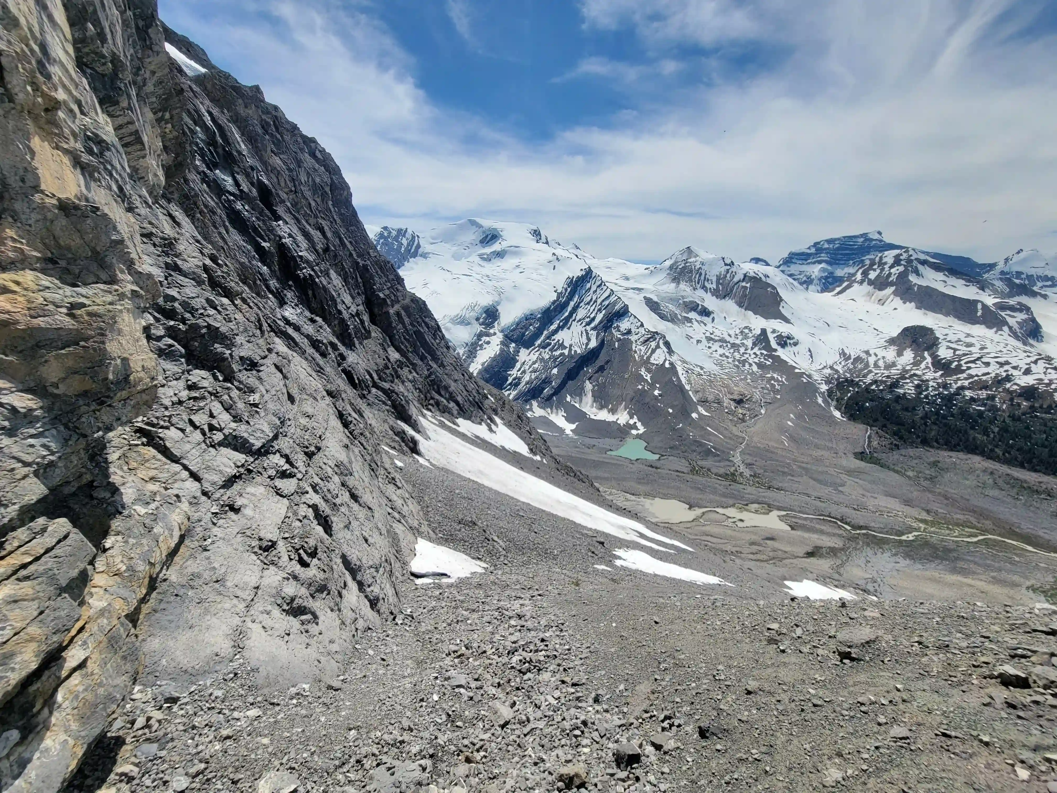
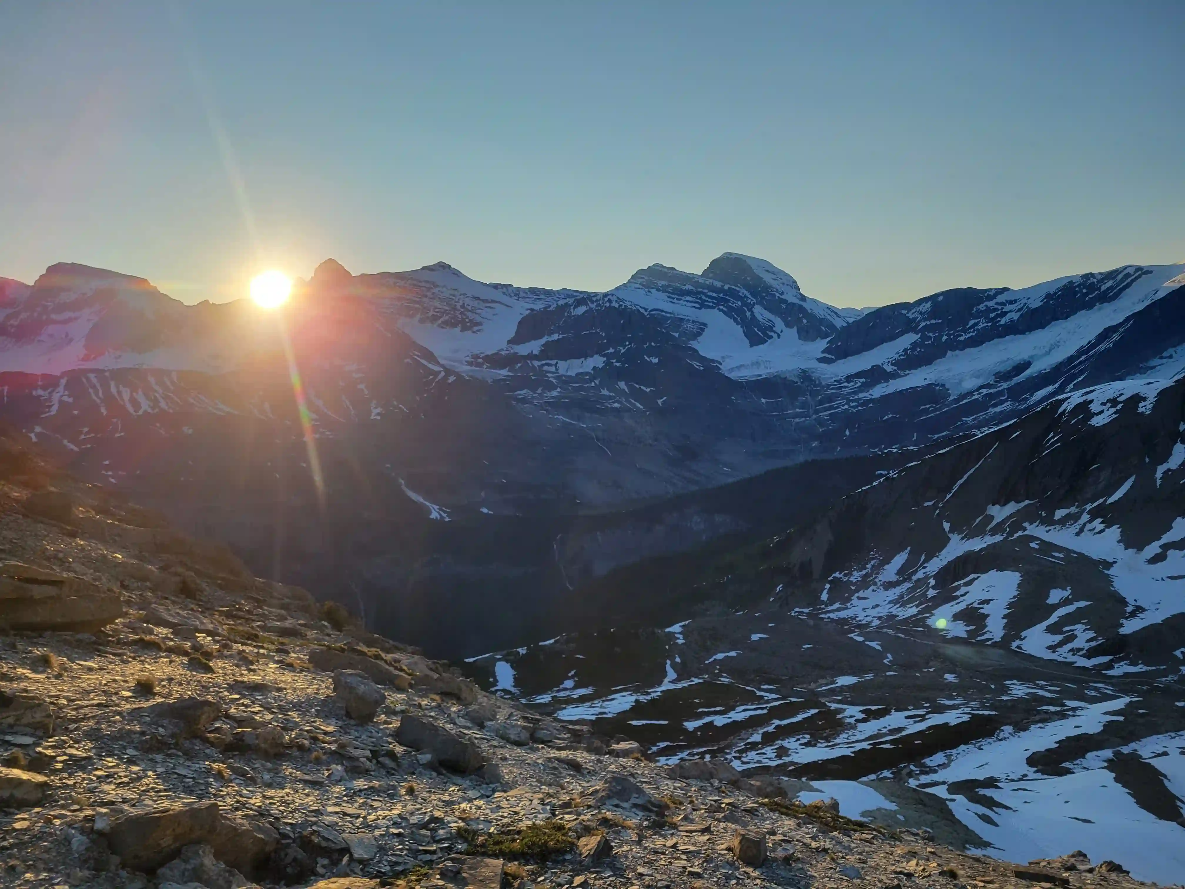
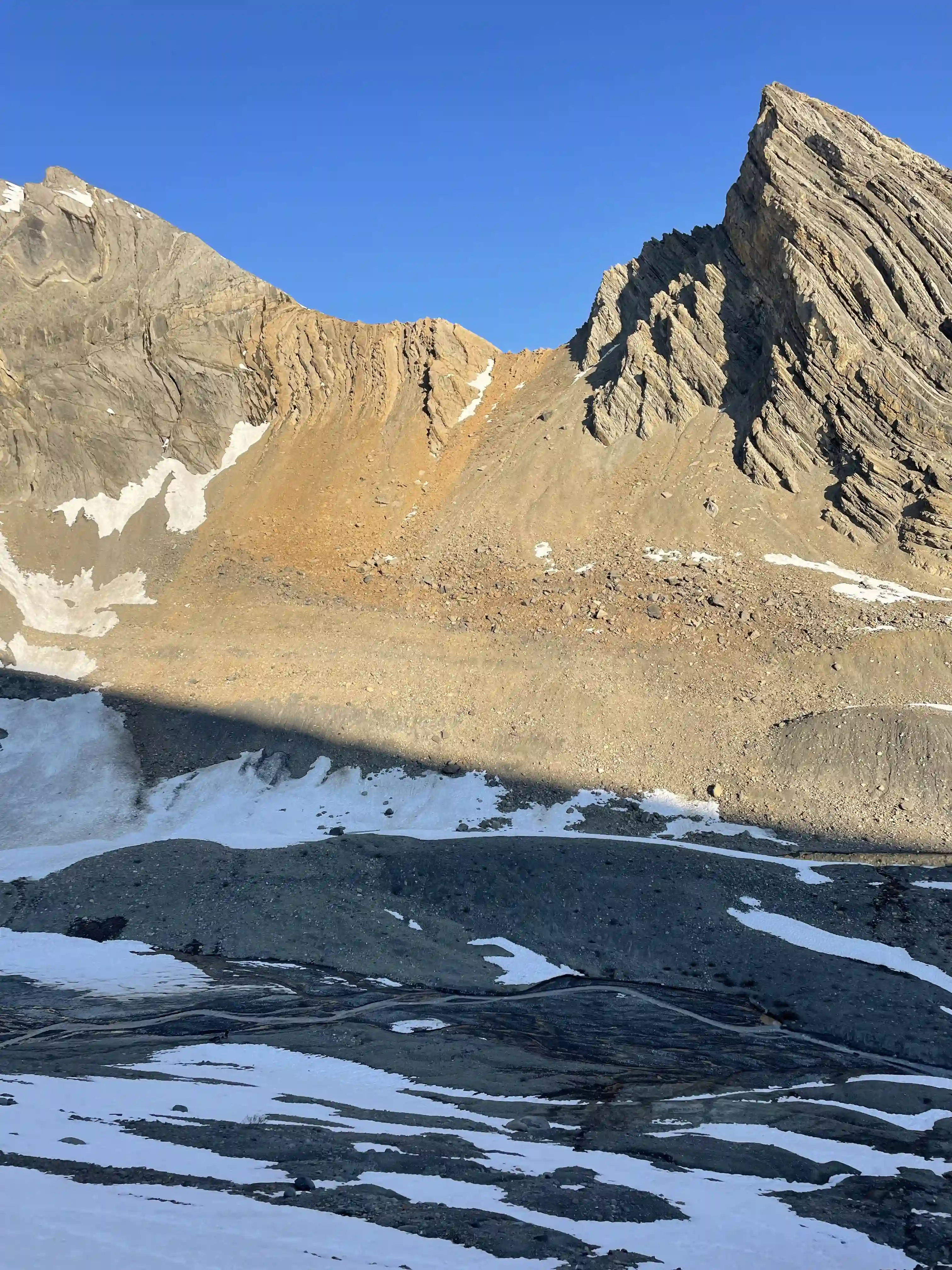
The next morning we were off at 4am and I had taken pictures and gotten a mental image of where we needed to go to navigate our way to the key ledge part way up the headwall. There was a decent amount of hands on terrain so we had to be careful with the lack of visibility but by the time we reached the 5th class crux step just before the ledge we had enough natural light that this wasn't a problem. The ledge still had some snow sticking around on it so this made things a bit more tricky than they needed to be but we were able to get past traveling closer to the cliff edge and soon reached the beginning of the glacier.
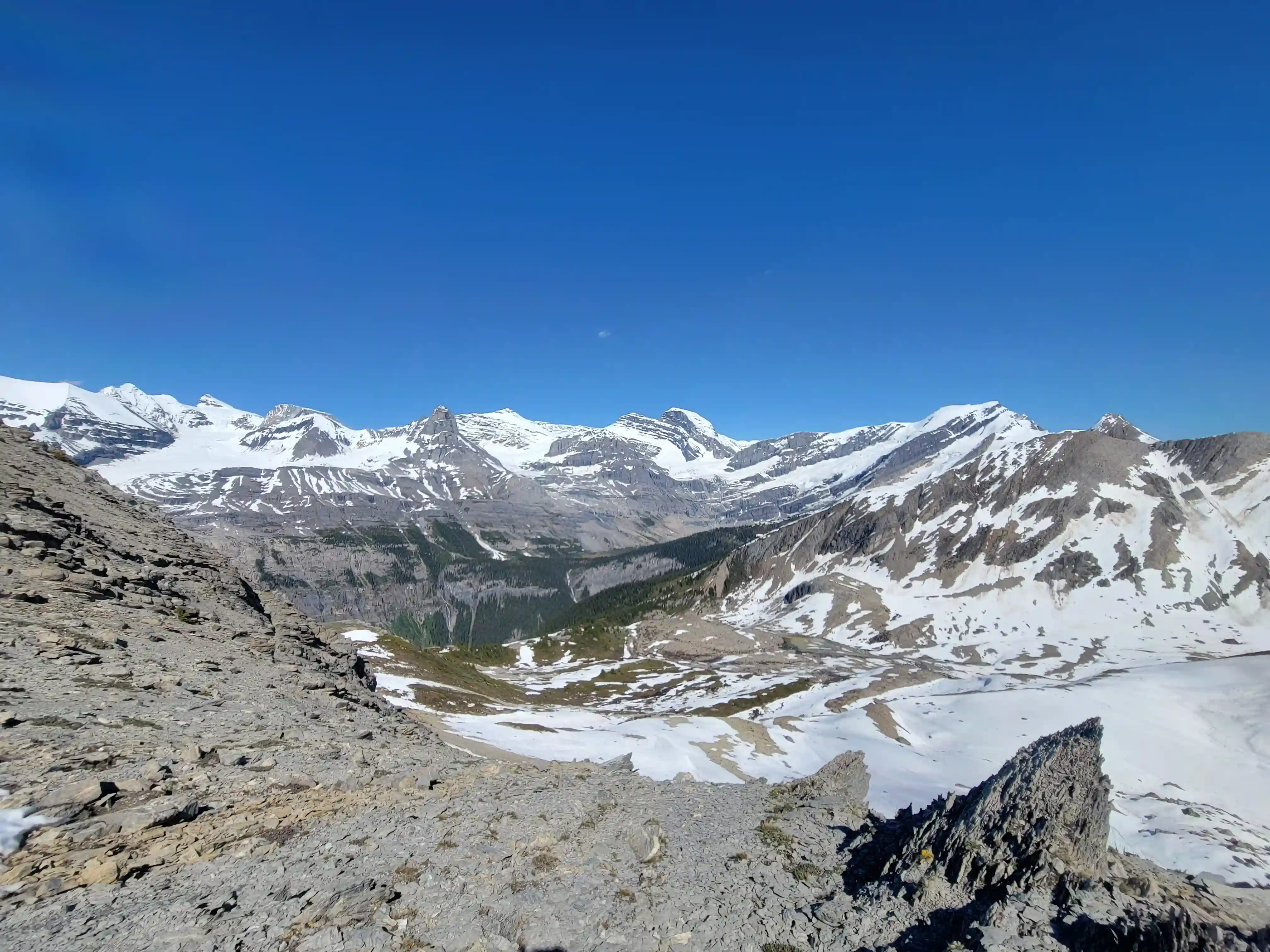
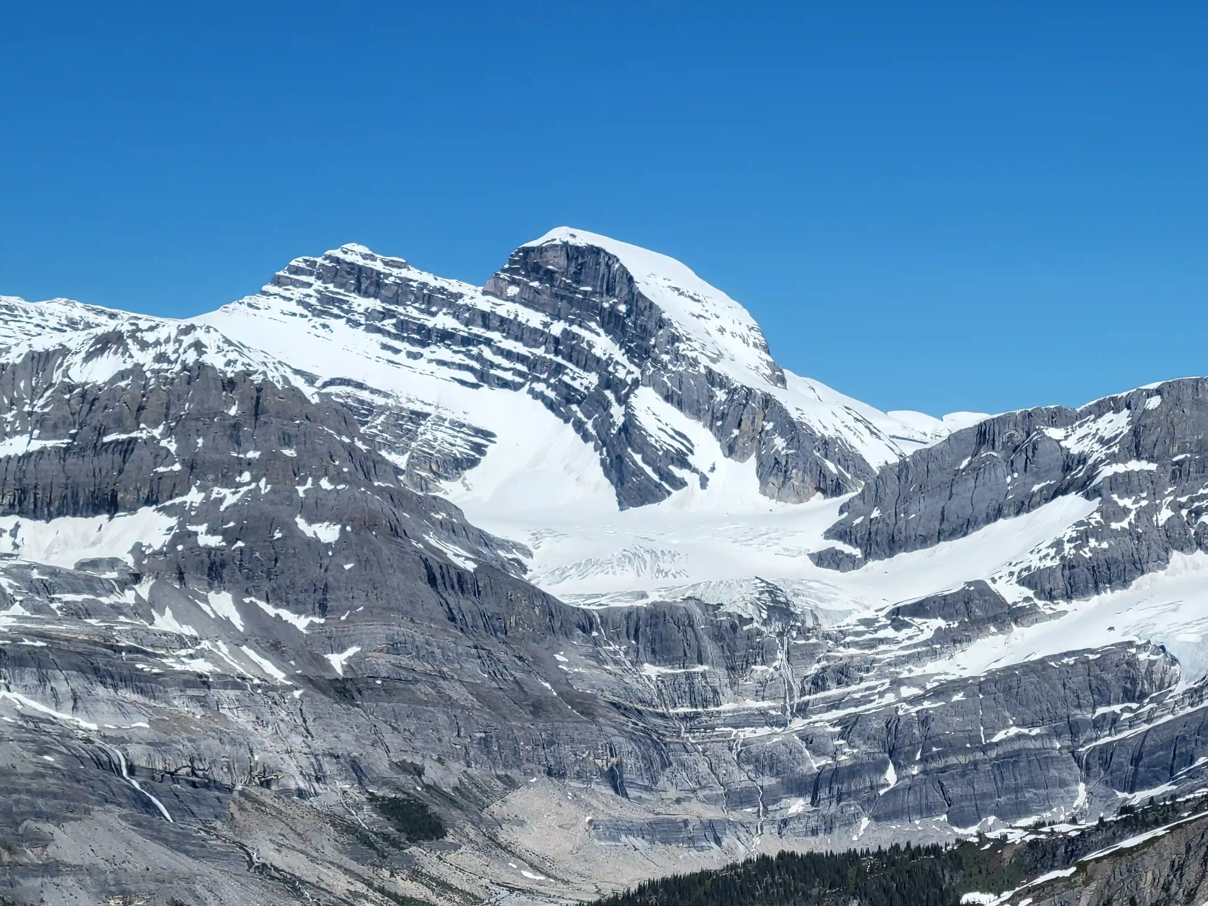
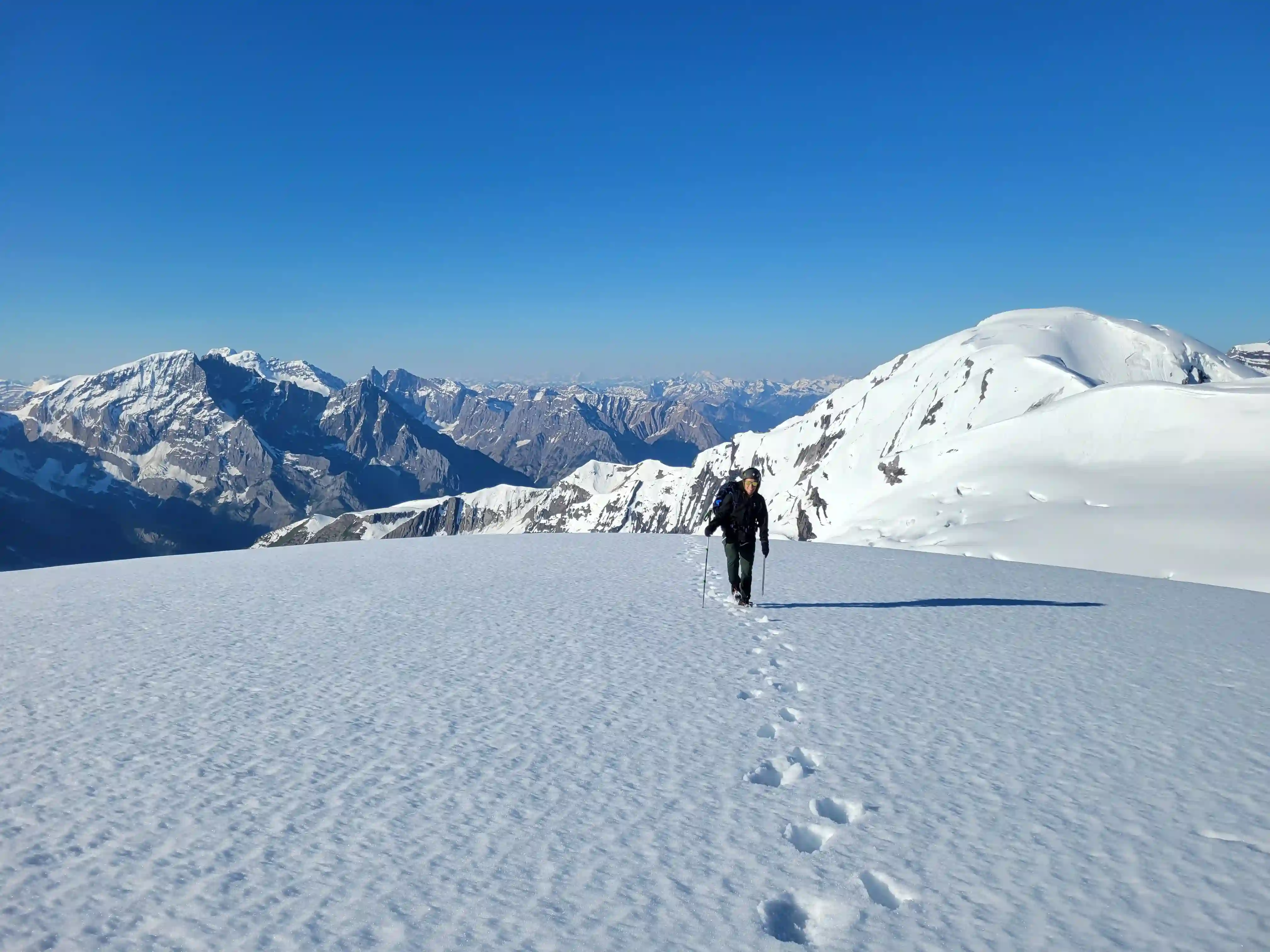
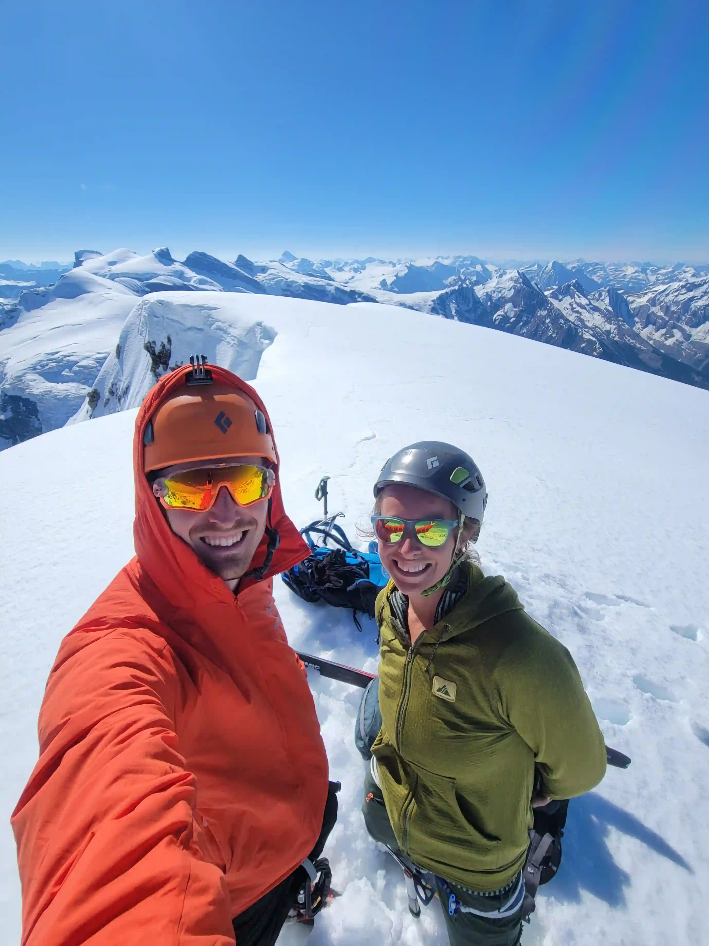
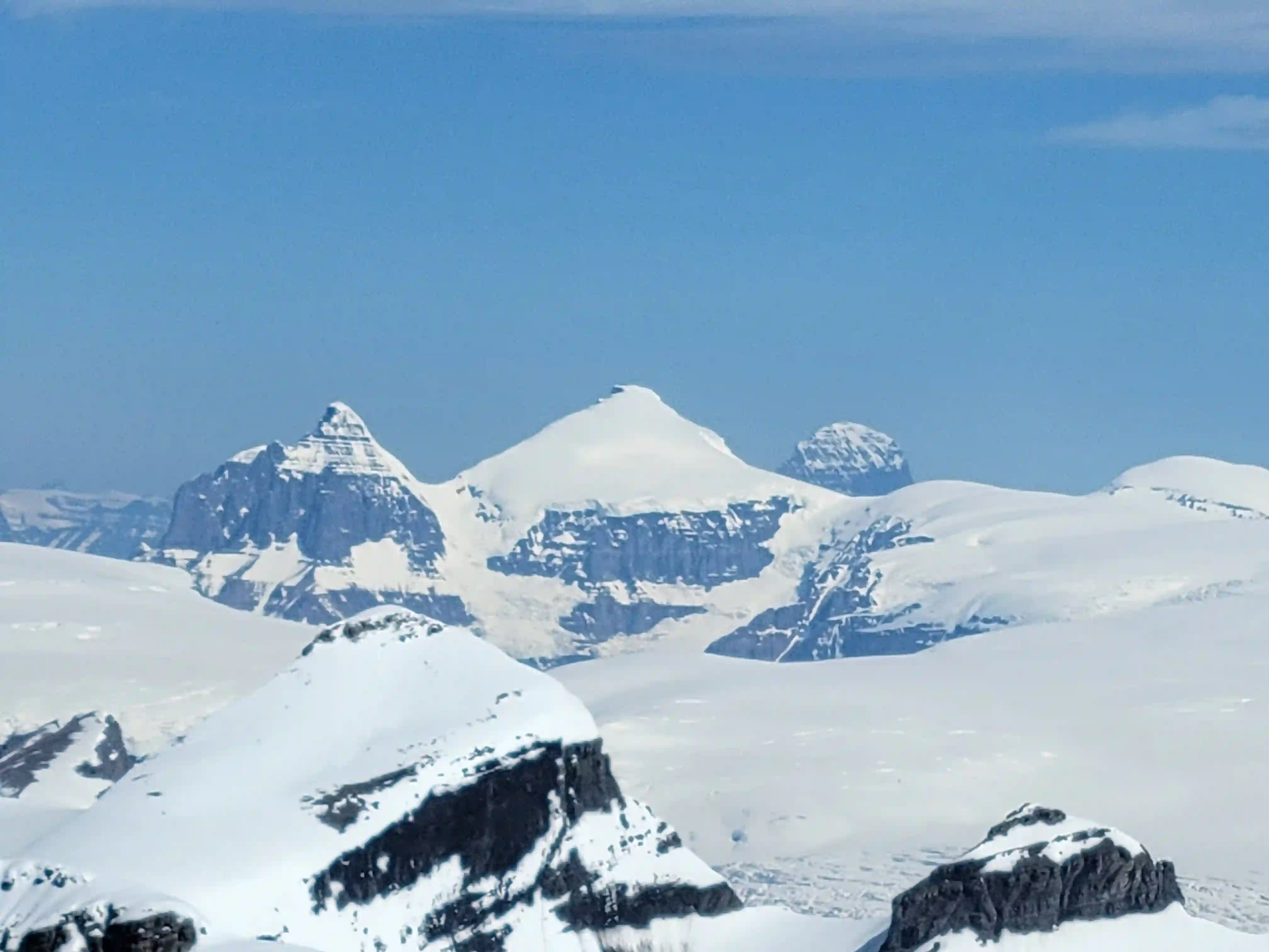
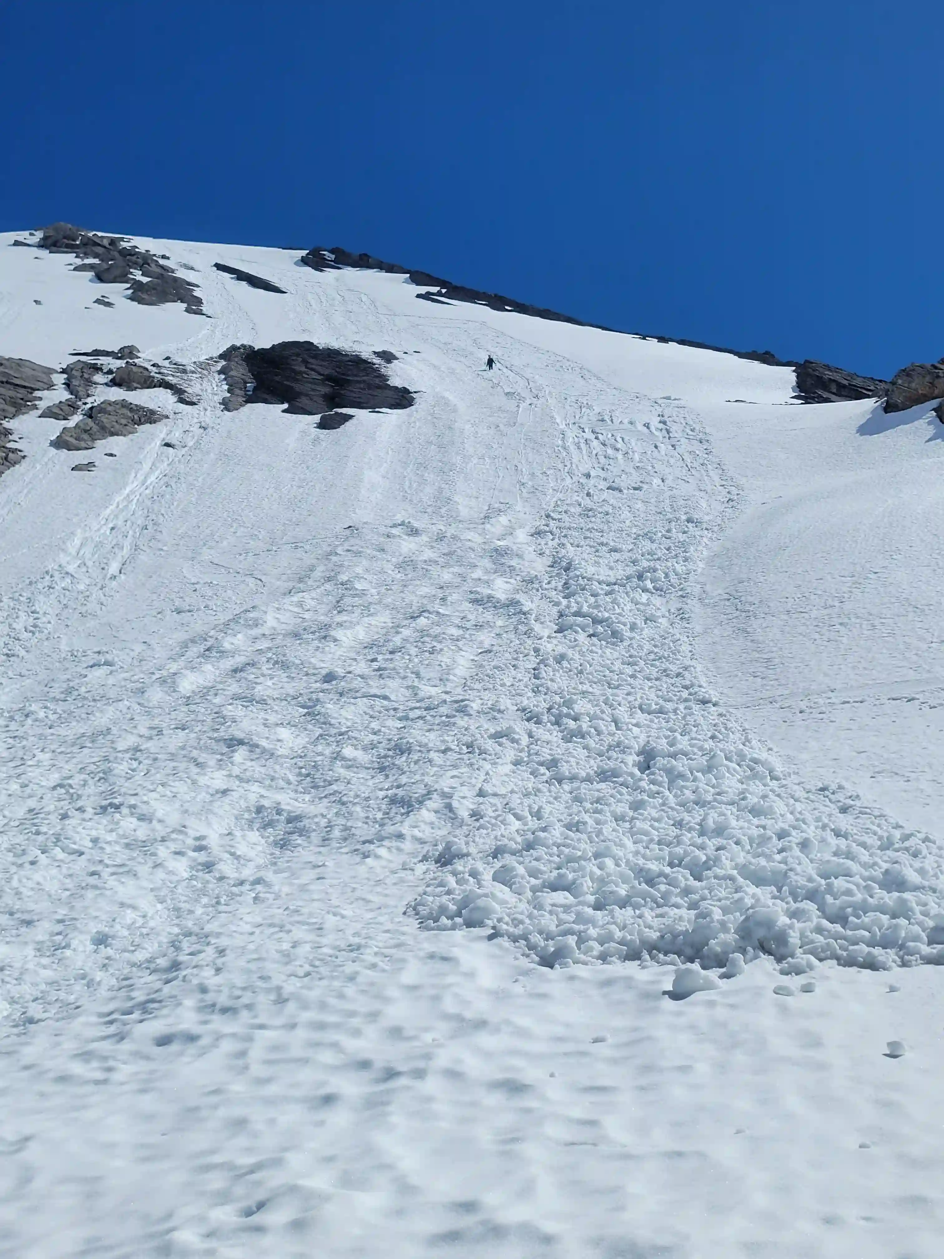
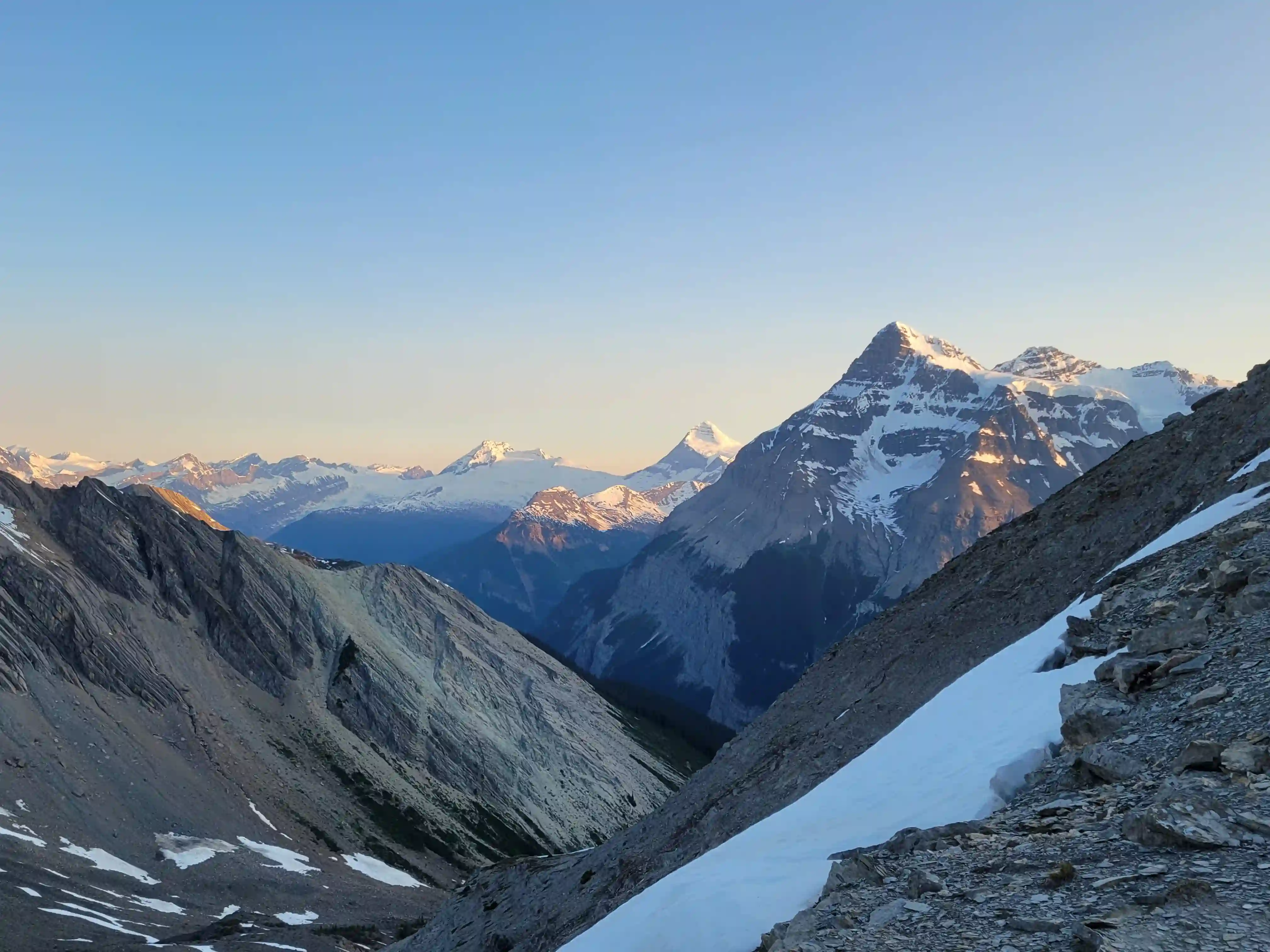
There were a few holes to watch out for as we made our way across to the base of Alexandra but nothing crazy and after reaching the other side we ditched the rope and started making our way up. The ascent of Alexandra wasn't anything technical with the steepest section around 35 degrees but the snow conditions were softer than ideal so this made for hard work. After being teased by a couple false summits we finally reached the final summit ridge and made our way to the top!
making an appearance
lingering snow pushing us closed to the cliff
THE SUMMIT
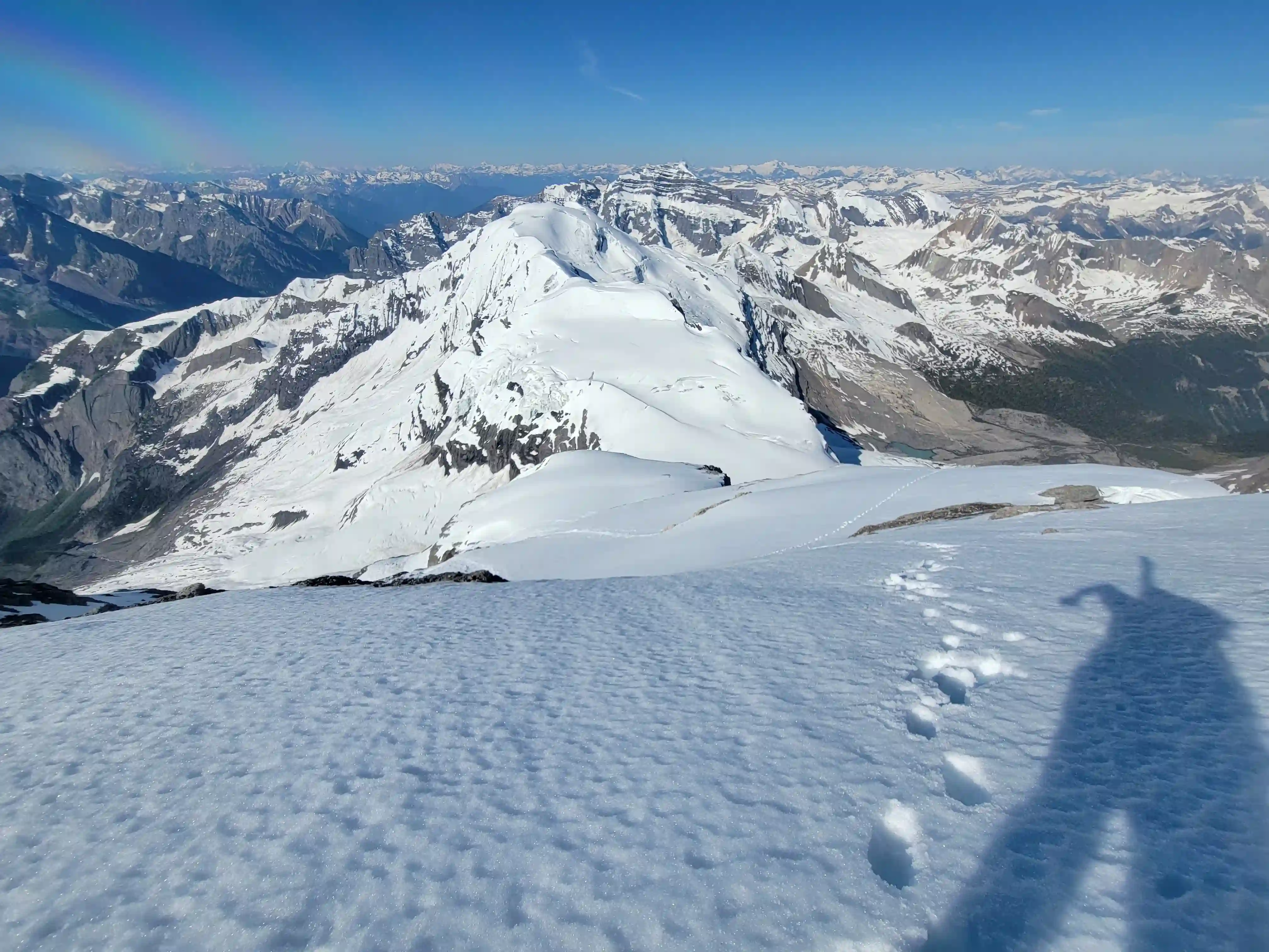
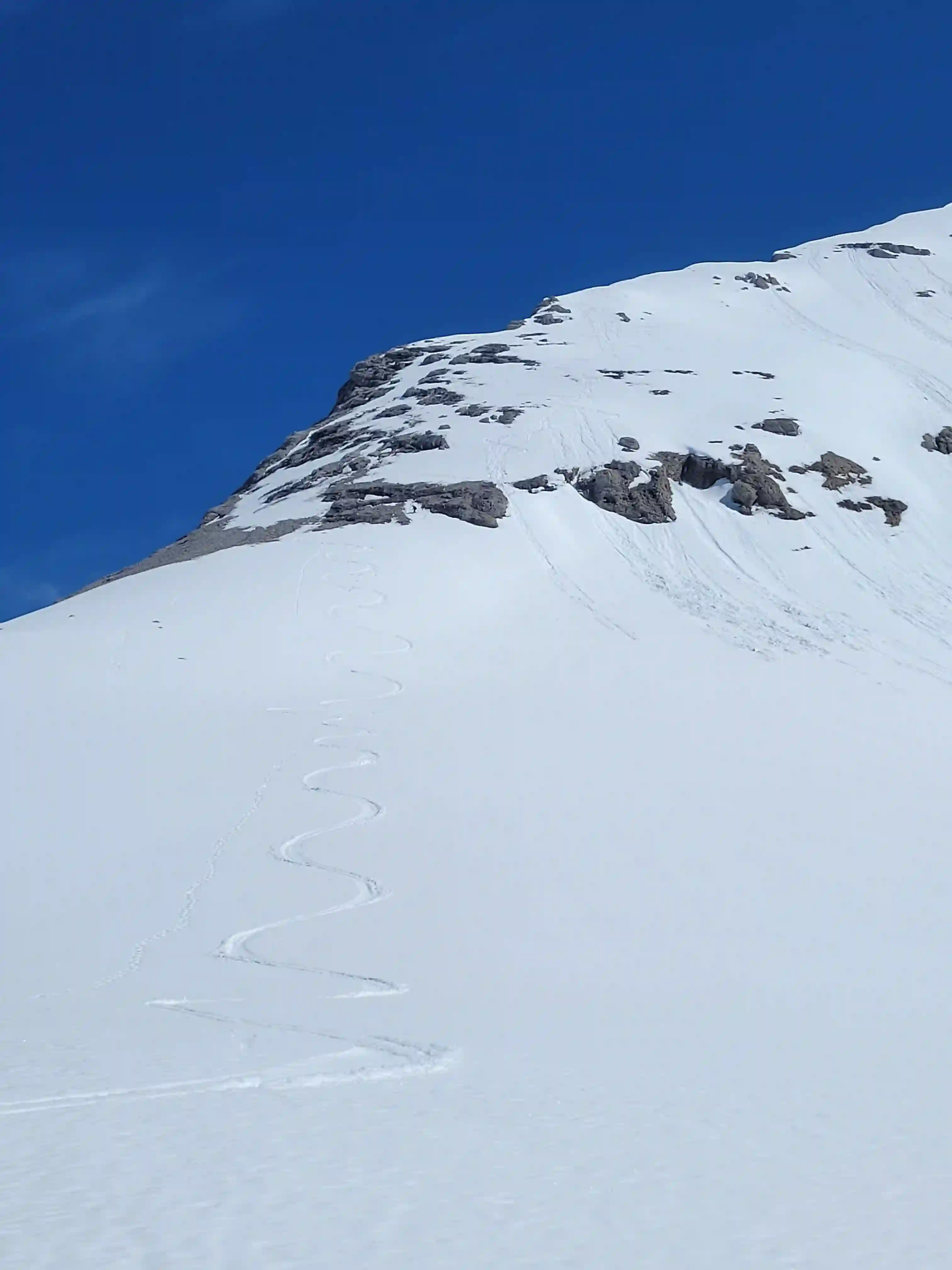
I had brought my skis to the summit to hopefully get some turns on the way down but it was already 10am when we reached the top so things were warming up quickly. After taking in the views we started down and the intial skiing was nasty. The tails of my skis were digging in and making turns was super hard on the legs but further down when the grade eased off things improved and I was able to enjoy some cruisy skiing. A few isothermal slides near the base told us all we needed to know and we got down and back across the glacier quickly to avoid any high risk avalanche terrain and worsening crevasse bridging. Reversing the ledge was fine but downclimbing the crux step and all the hands on terrain below it to get back to camp was definitely a bit mentally tiring so we had to be a bit careful through this section.

Into trips like this?
I'll send you an email whenever I publish a new trip report.
THE DESCENT

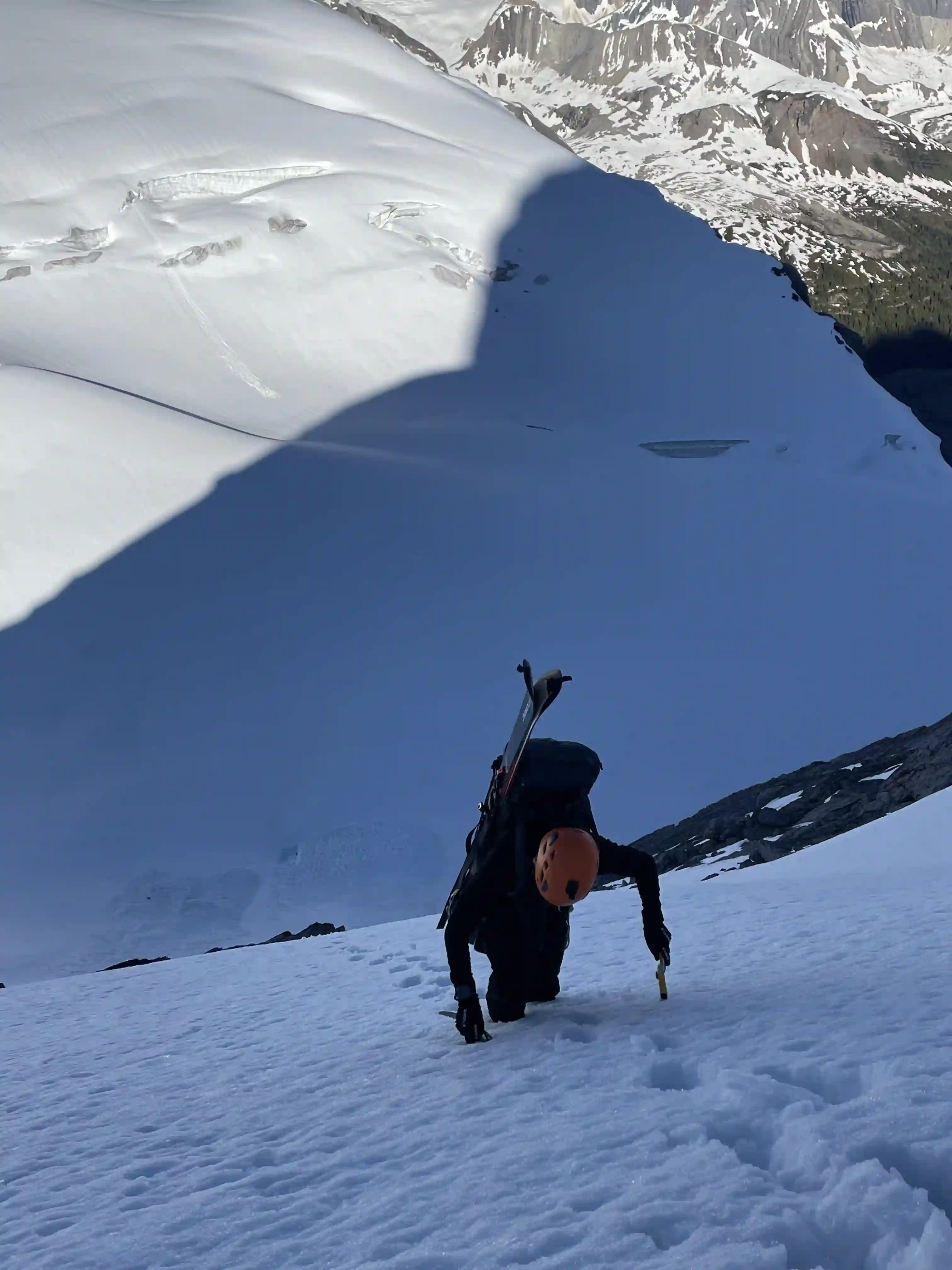
THE EXIT
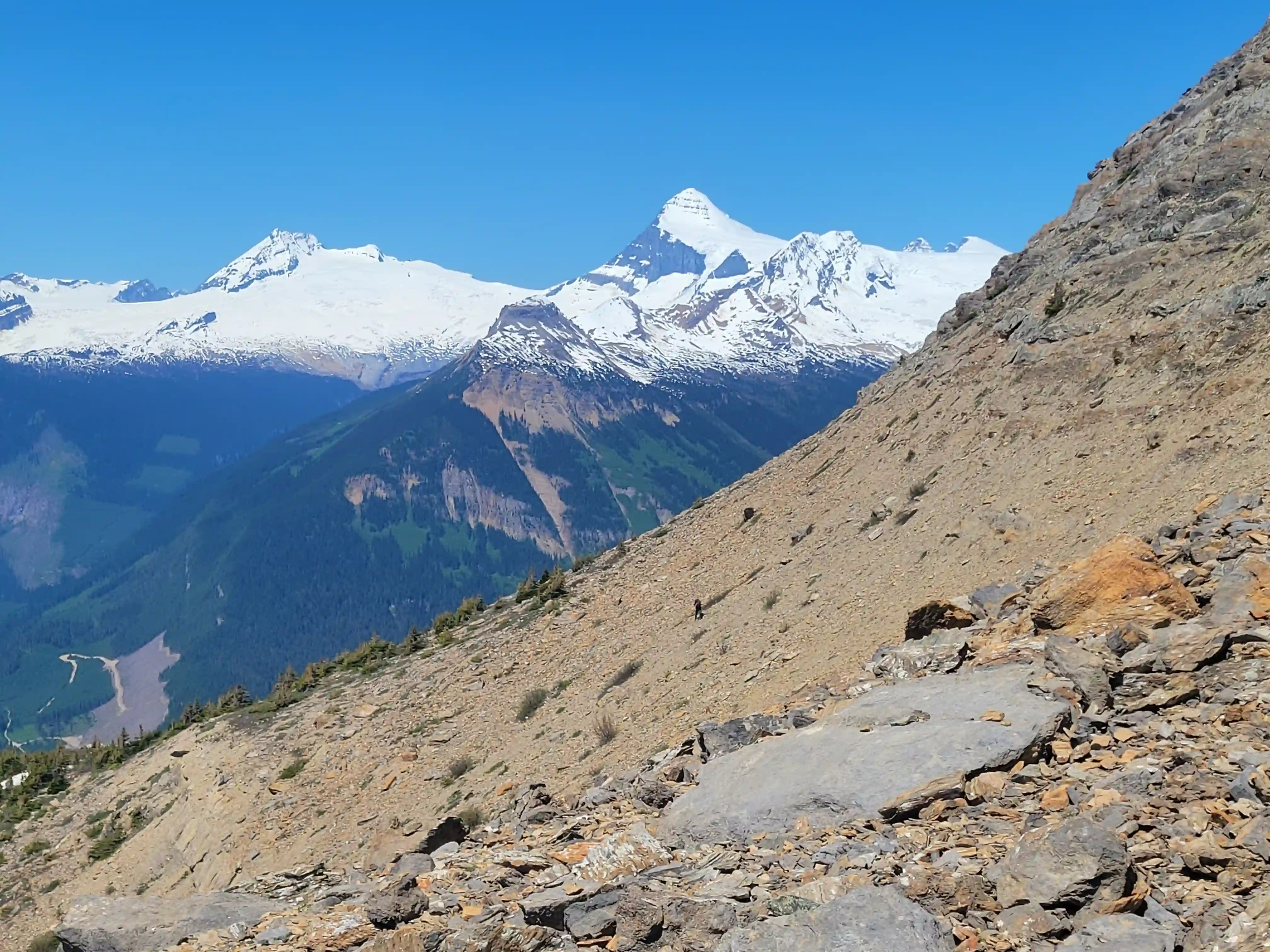
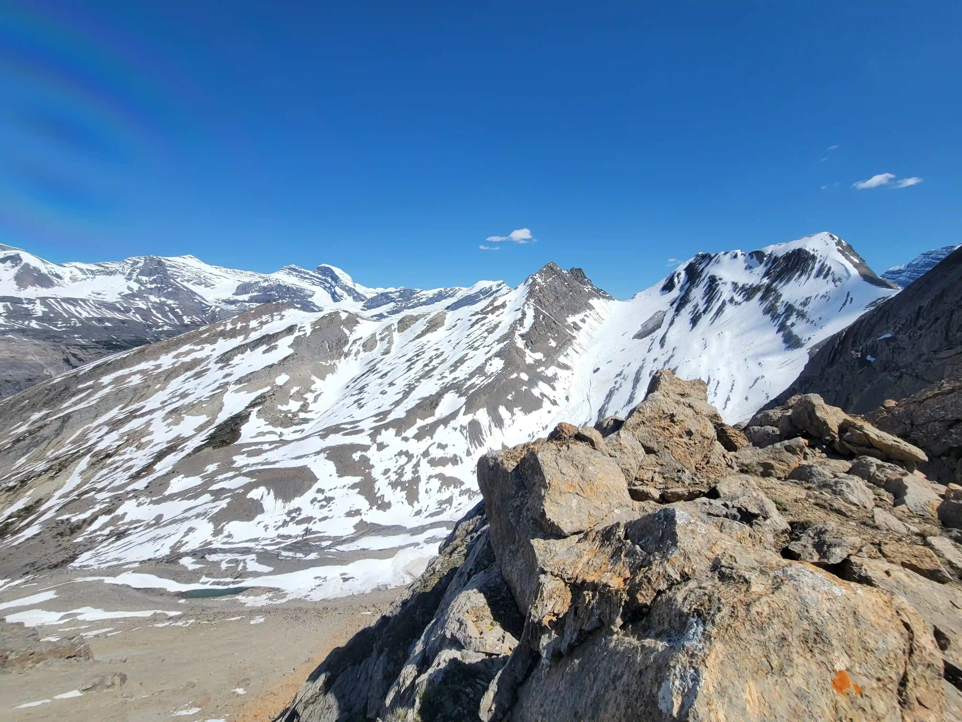
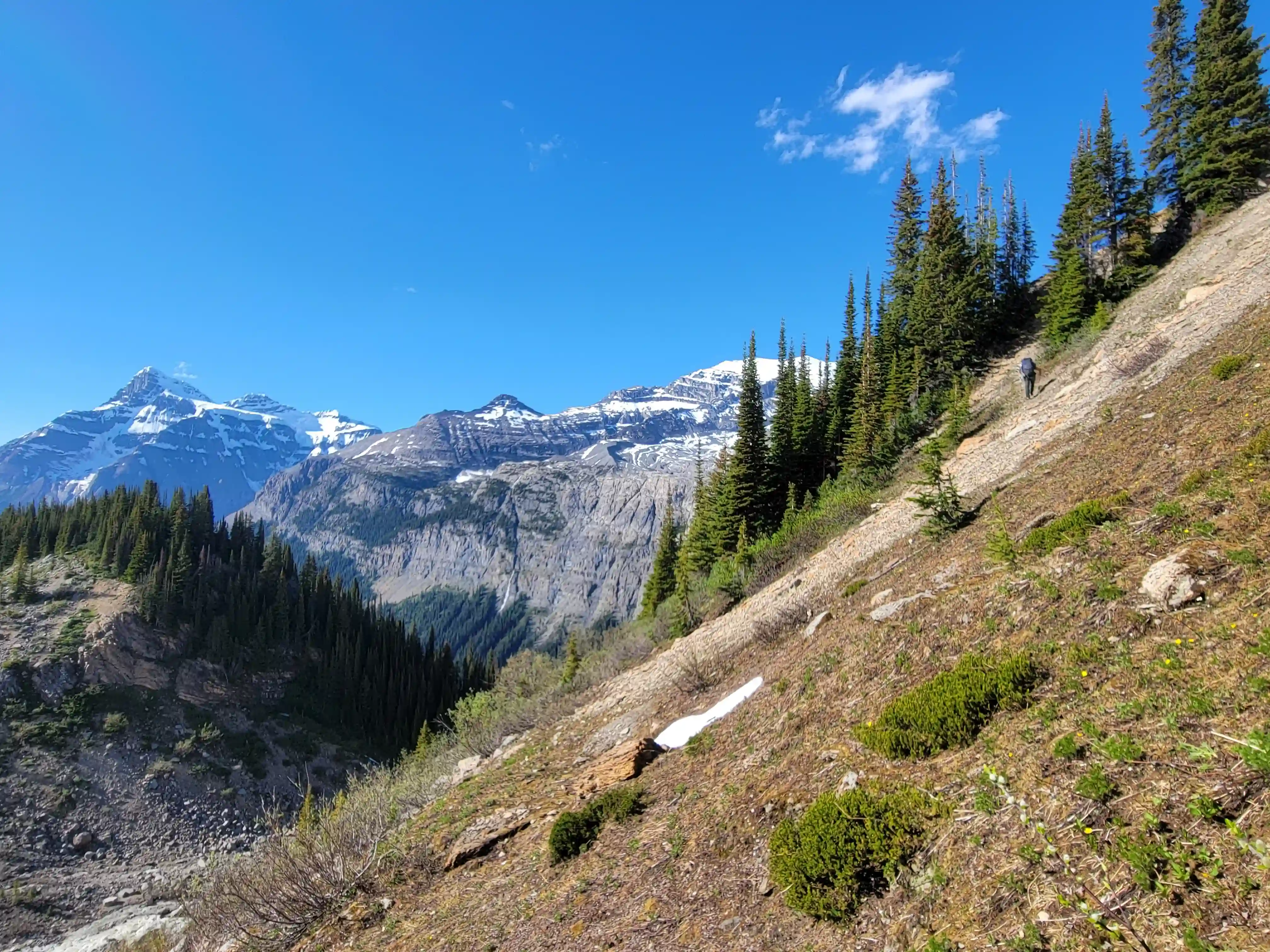
After returning to camp at 3pm it was the heat of the day and it wasn't very relaxing trying to get a nap in the boiling hot tent or the strong afternoon sun. With a lot of time left in the day we decided to back up camp and start the exit to make day 3 easier and reached a nice tarn below the slog up to the 3rd col where we decided to call it a day. The next morning we were moving before sunrise and started the grind back up the 3 cols. A good chunk of the elevation gain on this trip is from the exit so we were definitely feeling it but a few sections of lasting snow made things more enjoyable since I was able to get ski turns in. The descent from the final col was extra tricky with plenty of loose boulders you could break an ankle on and once past the boulder / scree field all that was left was a bit of bushwhacking and the road back to the car.
background
Mount Alexandra while not all that technically difficult was definitely physically demanding and I'd probably say the approach is one of the tougher ones on the list even rivaling Mount Forbes and the modern Kinbasket River approach route for Tsar Mountain. That being said the extremely small amount of bushwhacking and the epic scenery make it well worth it and I'm glad this is the first peak I checked off that's accessed via the Bush River FSR. Following this trip it was a solid 3 weeks until my next outing in the mountains but with Jo keen on getting after it again with a legendary Lake Louise linkup we got ready to send big!
Follow the full progression
I'm working through all 58 11000ers of the Canadian Rockies and beyond. You'll get notified when the latest climbs go live.
Other related trip reports:
Mount Sir Douglas |
Lefroy, Victoria South, & Huber Linkup ||
Mount Andromeda & Athabasca
11000ers of the Canadian Rockies
© Haldan Borglum | Peak by Peak. All rights reserved.