Mount Harrison
3359m, 11020ft
May 12-14 2026
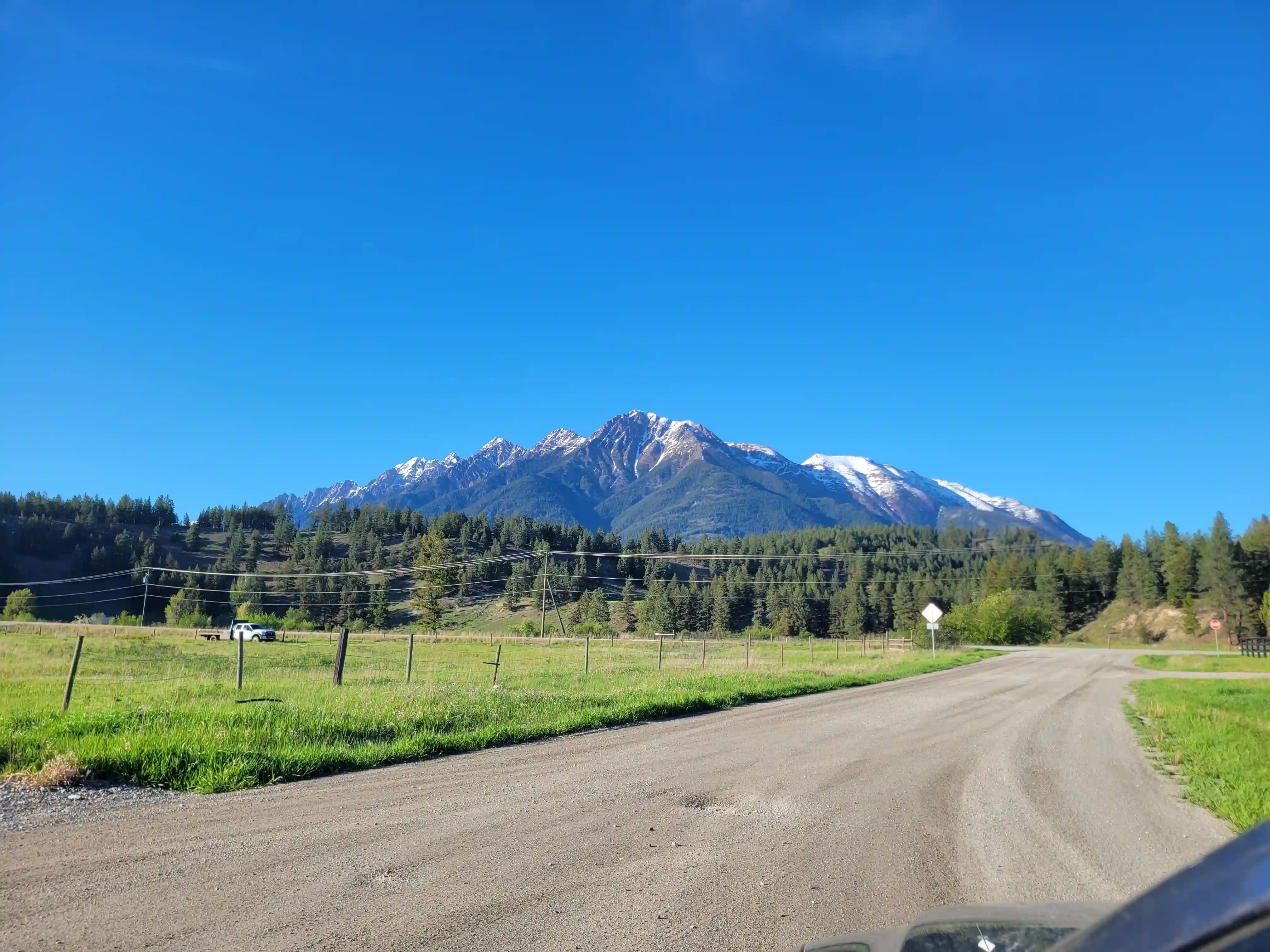
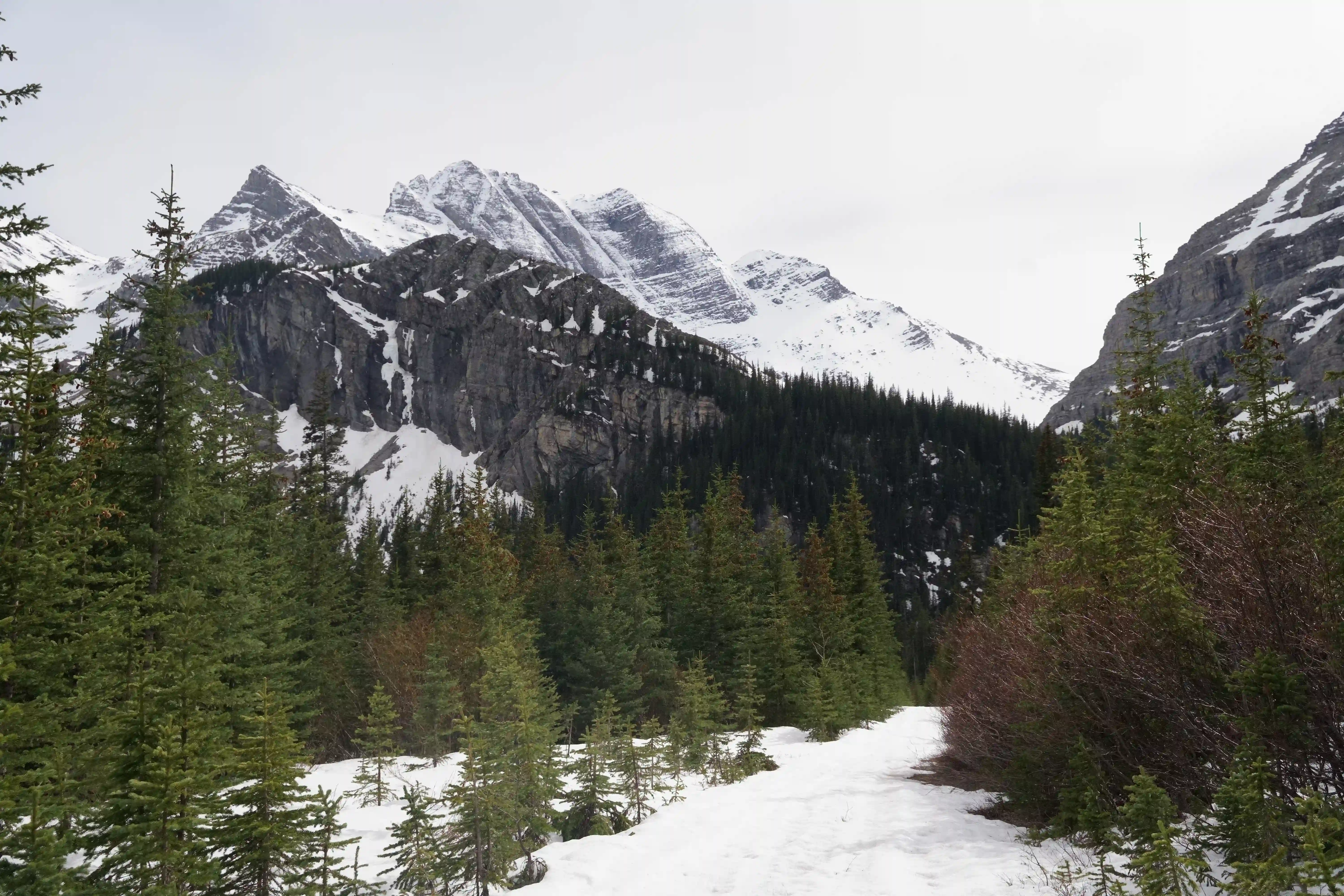
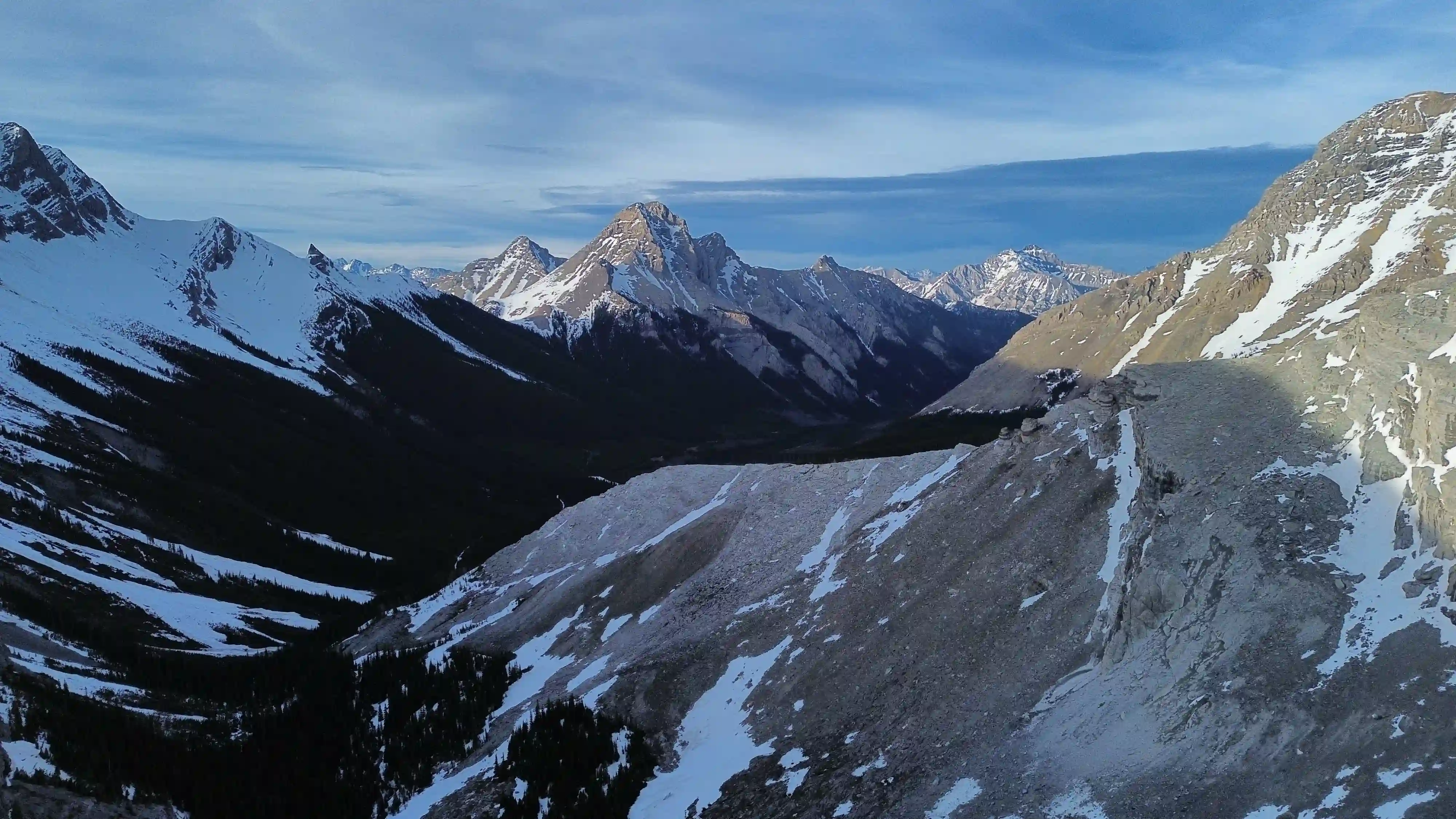
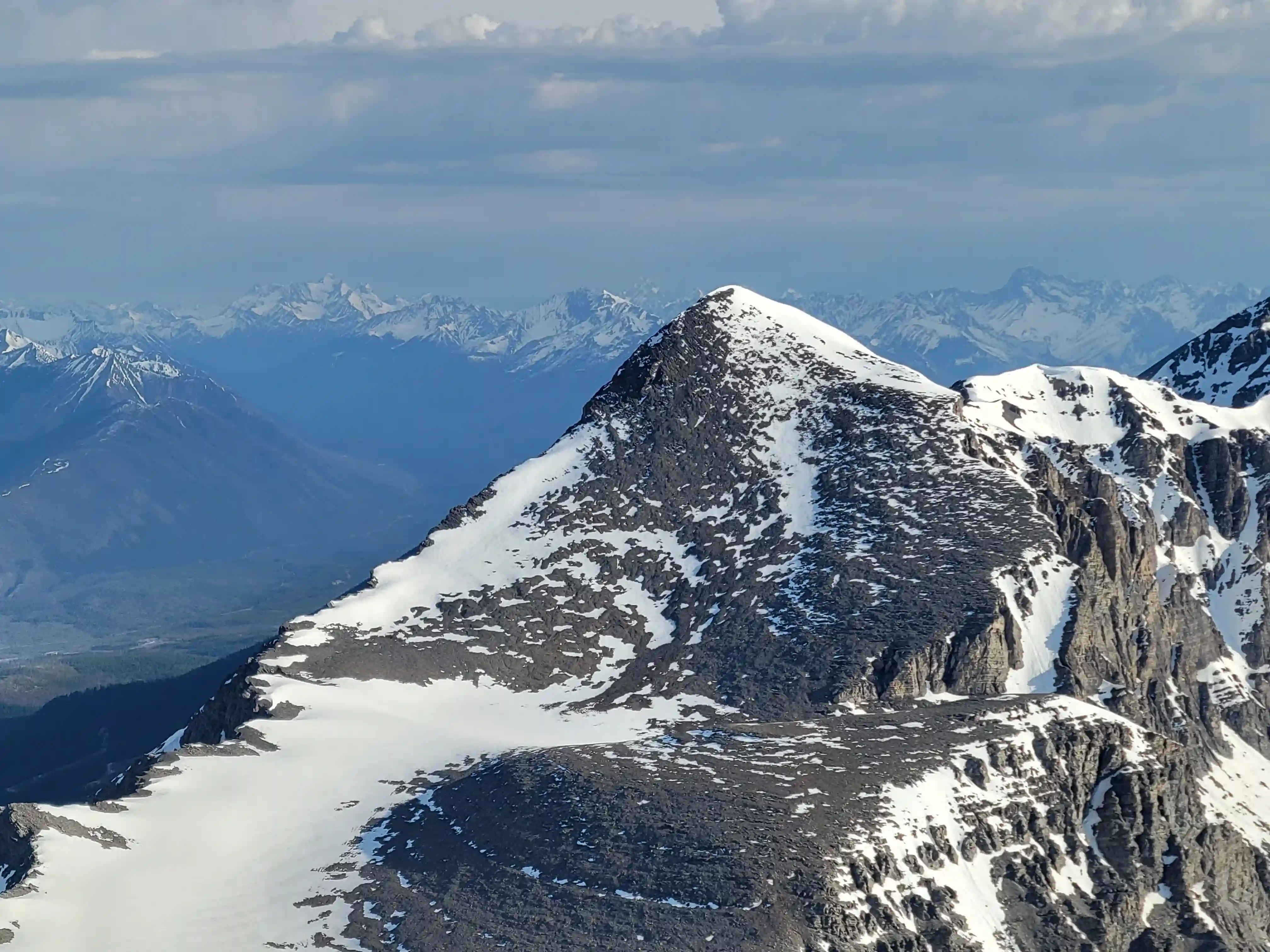
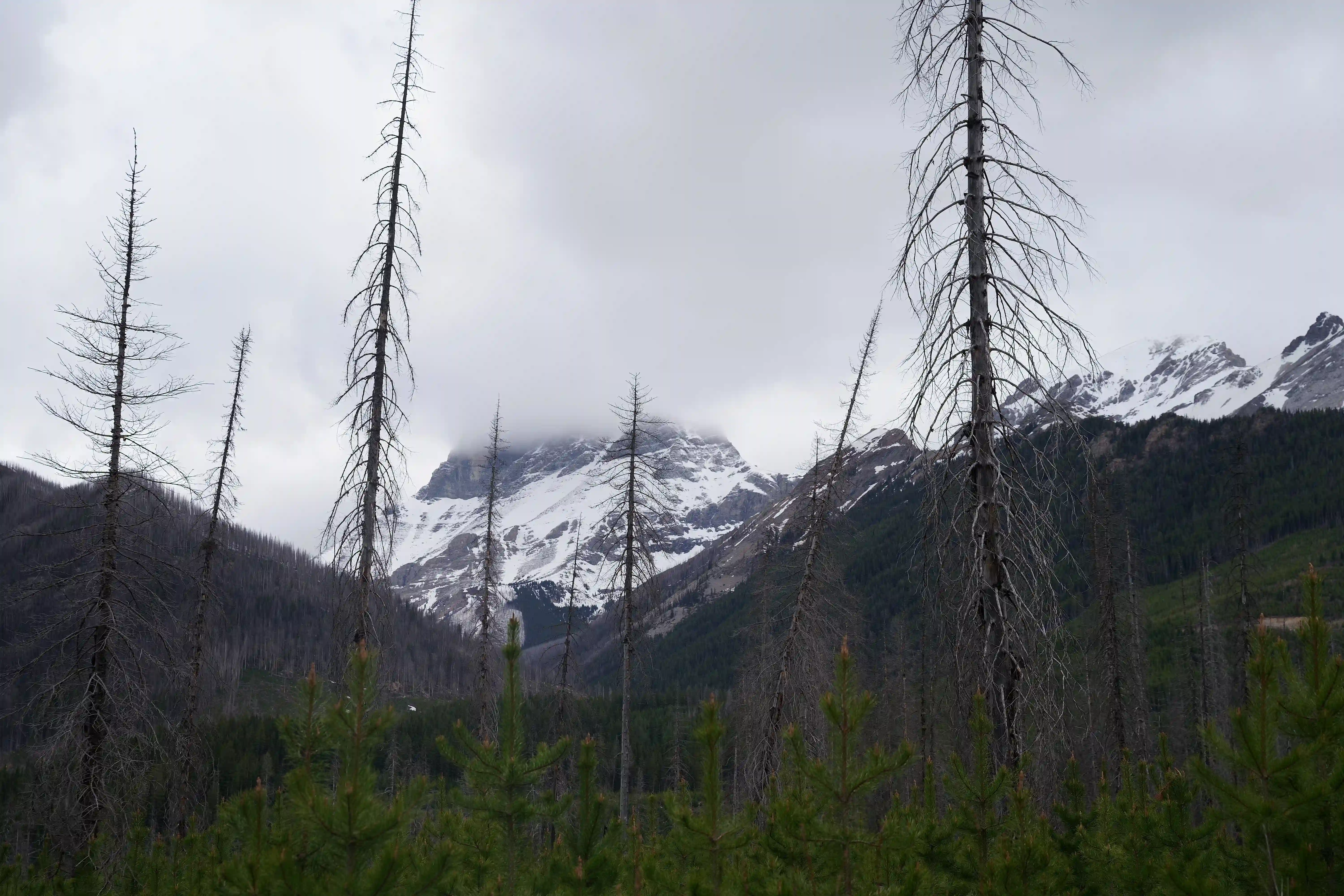
In the far southern reaches of the Canadian Rockies Mount Harrison is tucked away in remote BC backcountry requiring hours of forest service road travel to get close to. The standard route is relatively easy in the grand scheme of 11000er ascents so the crux of checking off this peak ends up being simply getting close to it, and with the potential for road blockages this can prove to be quite difficult. Harrison is far enough separated from the other peaks of the list that it often isn't visible aside from the other far south high points like
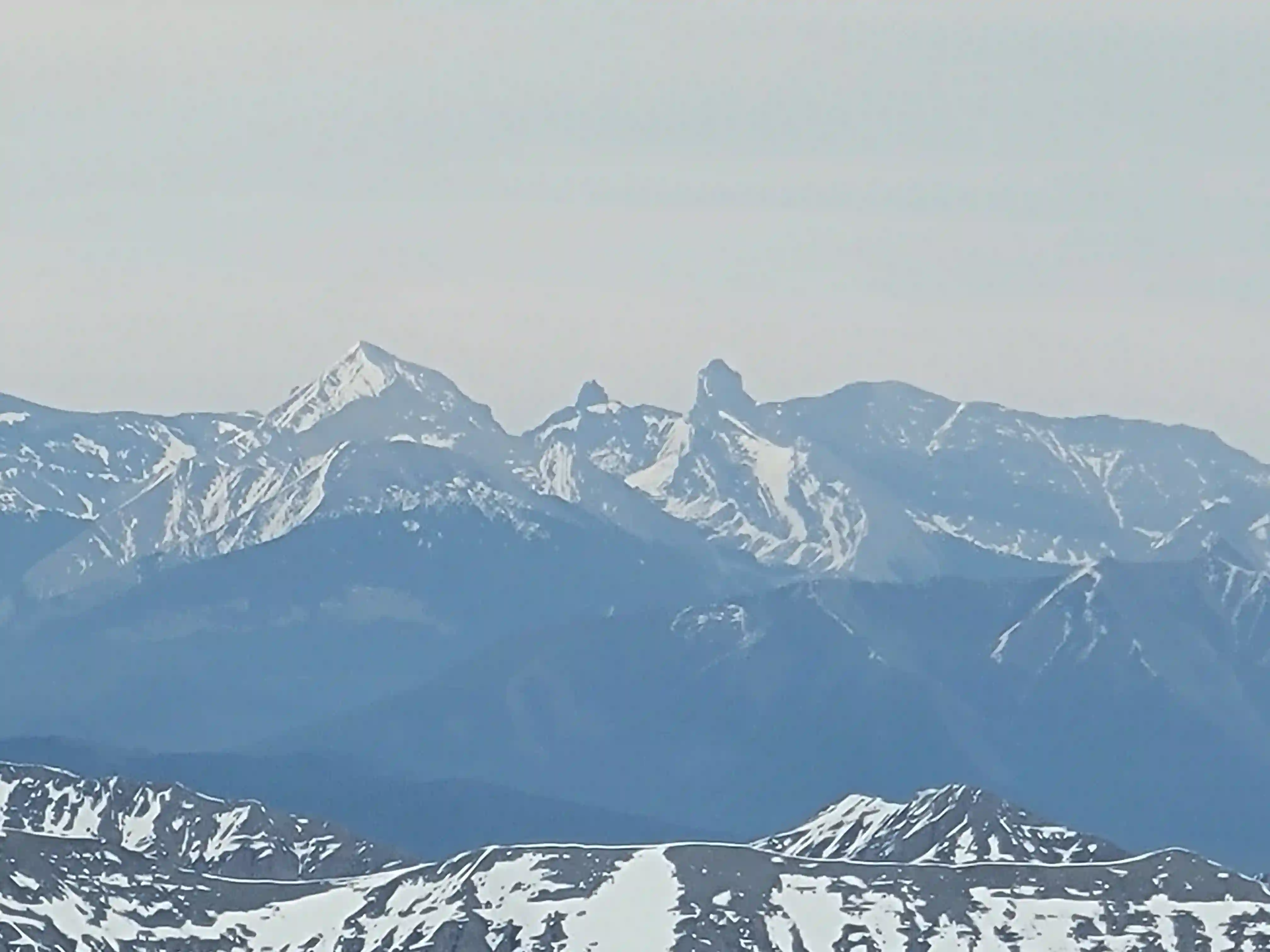
Mount Joffre,
Mount King George, and
Mount Sir Douglas,
thus making for a unique trip to a new and wild area.
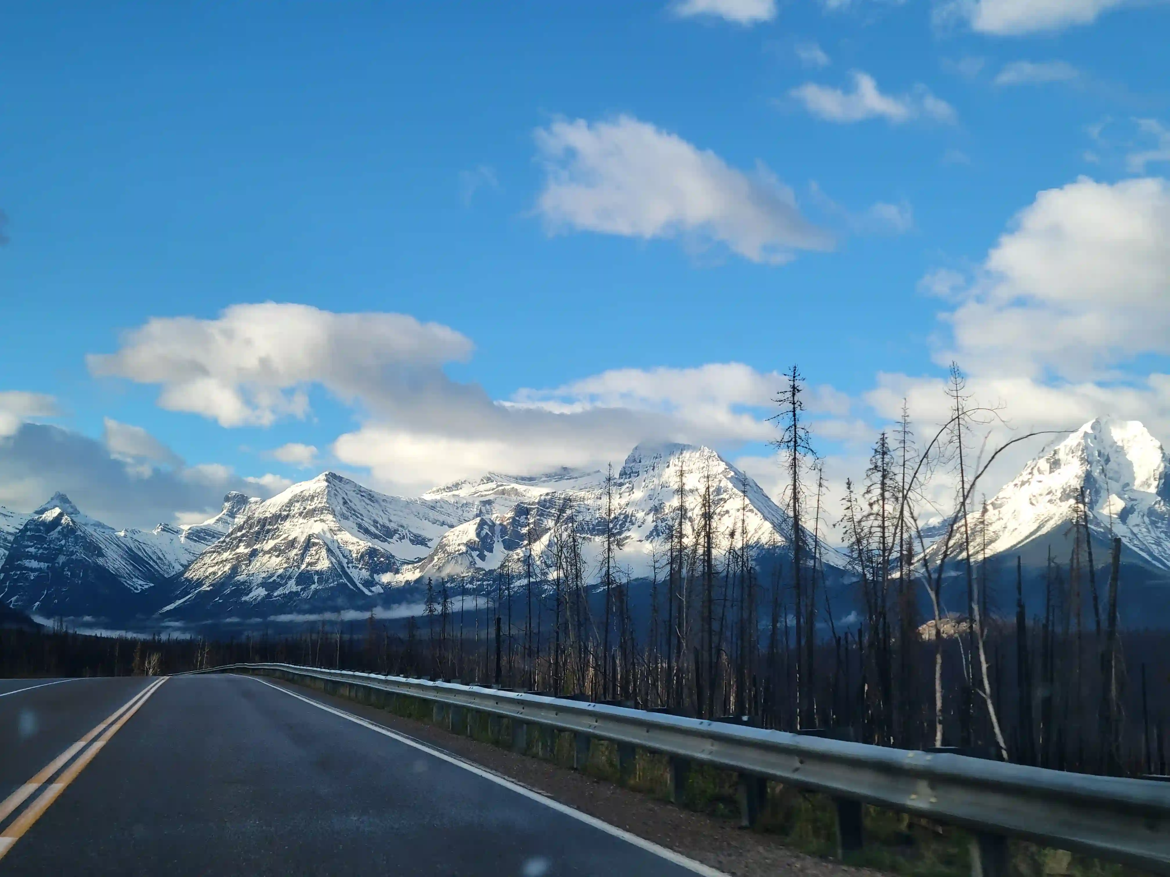
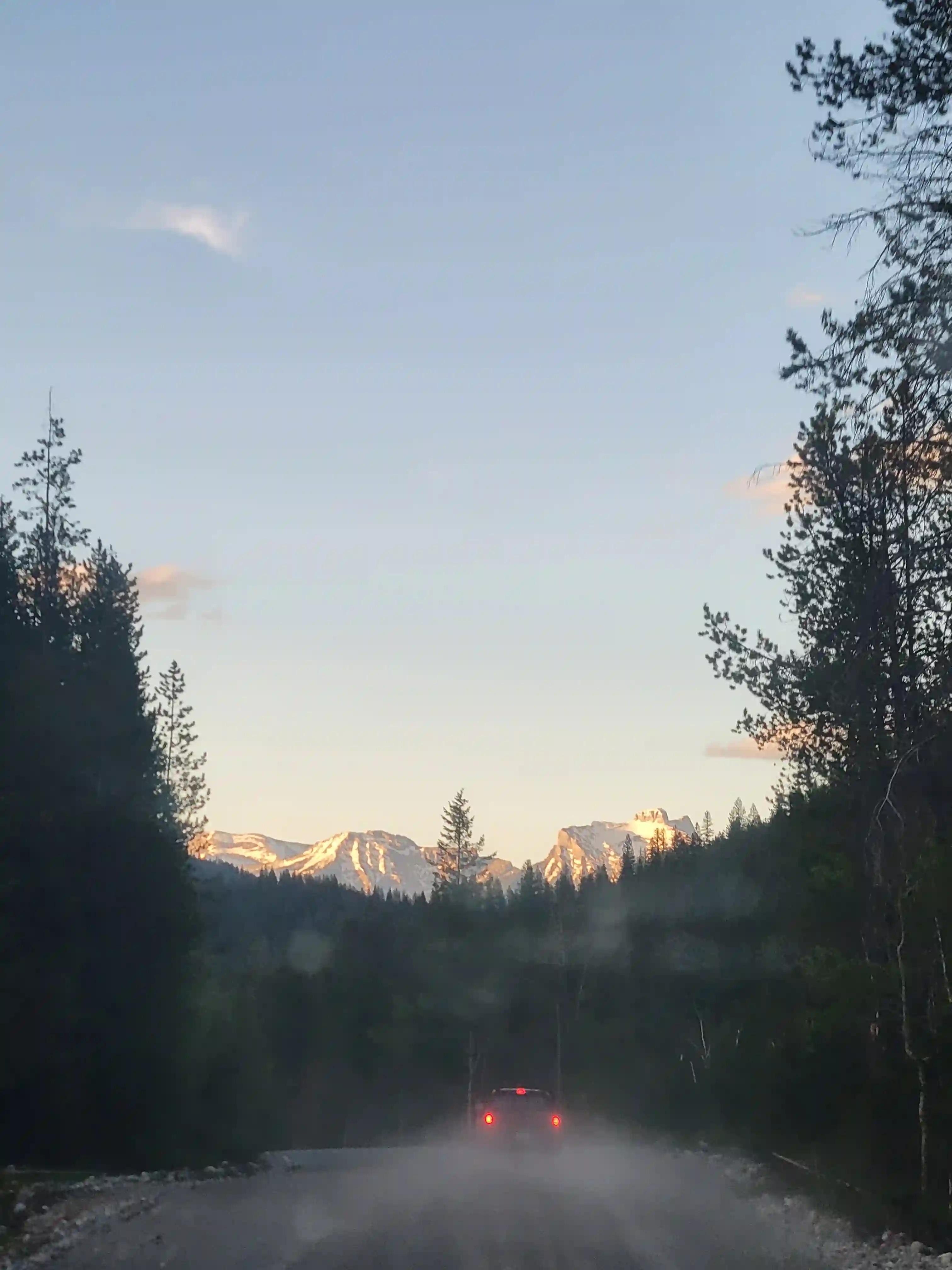
Harrison is typically done in mid to late summer when the road and route have fully melted out but I was eager to get it done in the spring to give the north couloir a try. A couple days out when I checked the forecast on a whim and saw there was a pretty good looking window for a day I figured it was good enough to work with and with Rob interested we were headed south. I was up in Grande Prairie finishing up some work at the time so I had a lengthy drive ahead of me but it was neat seeing a sizable chunk of the Canadian Rockies and a good number of the 11000ers over the course of a long day on the road. Rob and I ended up meeting in Bull River later than ideal since he wanted to get a radio for safety reasons on the FSR so it wasn't until 8pm that we were starting up the road.
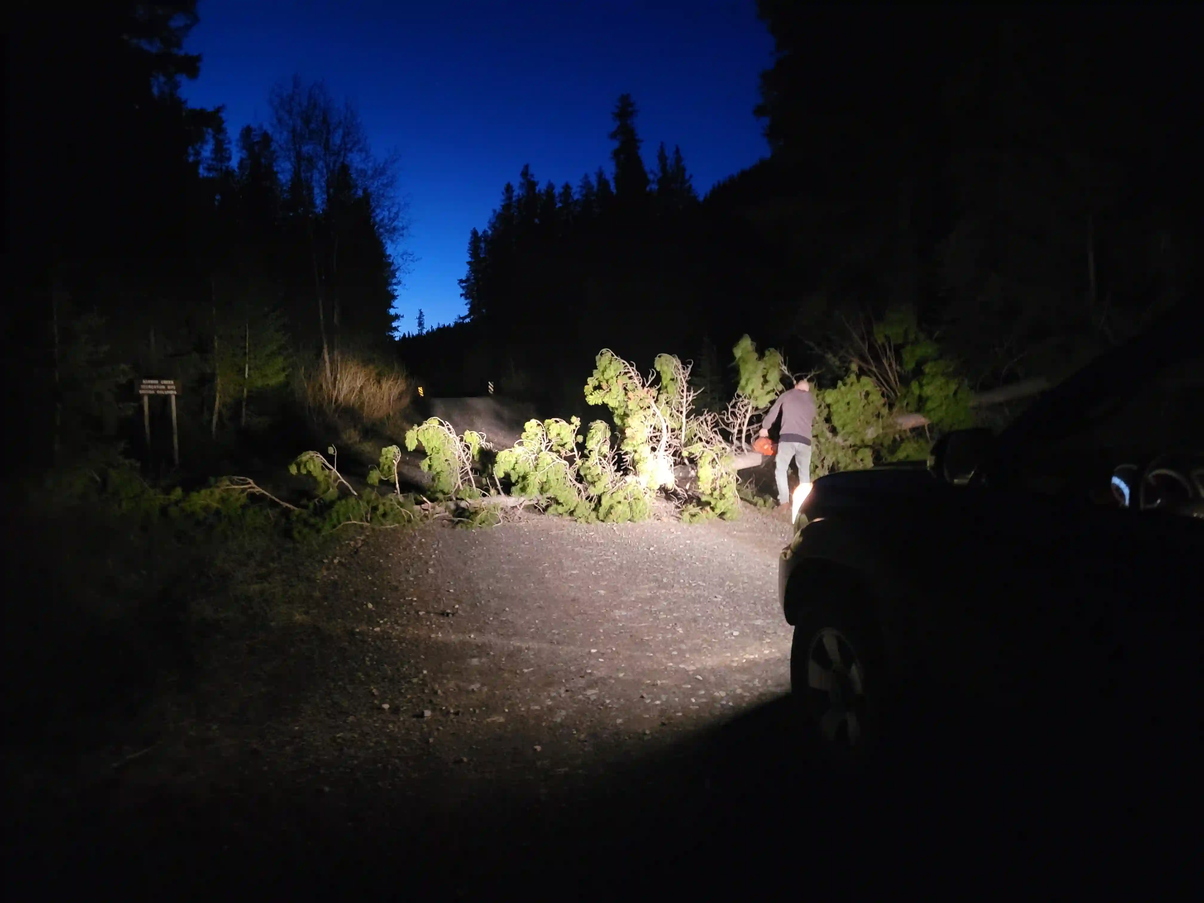
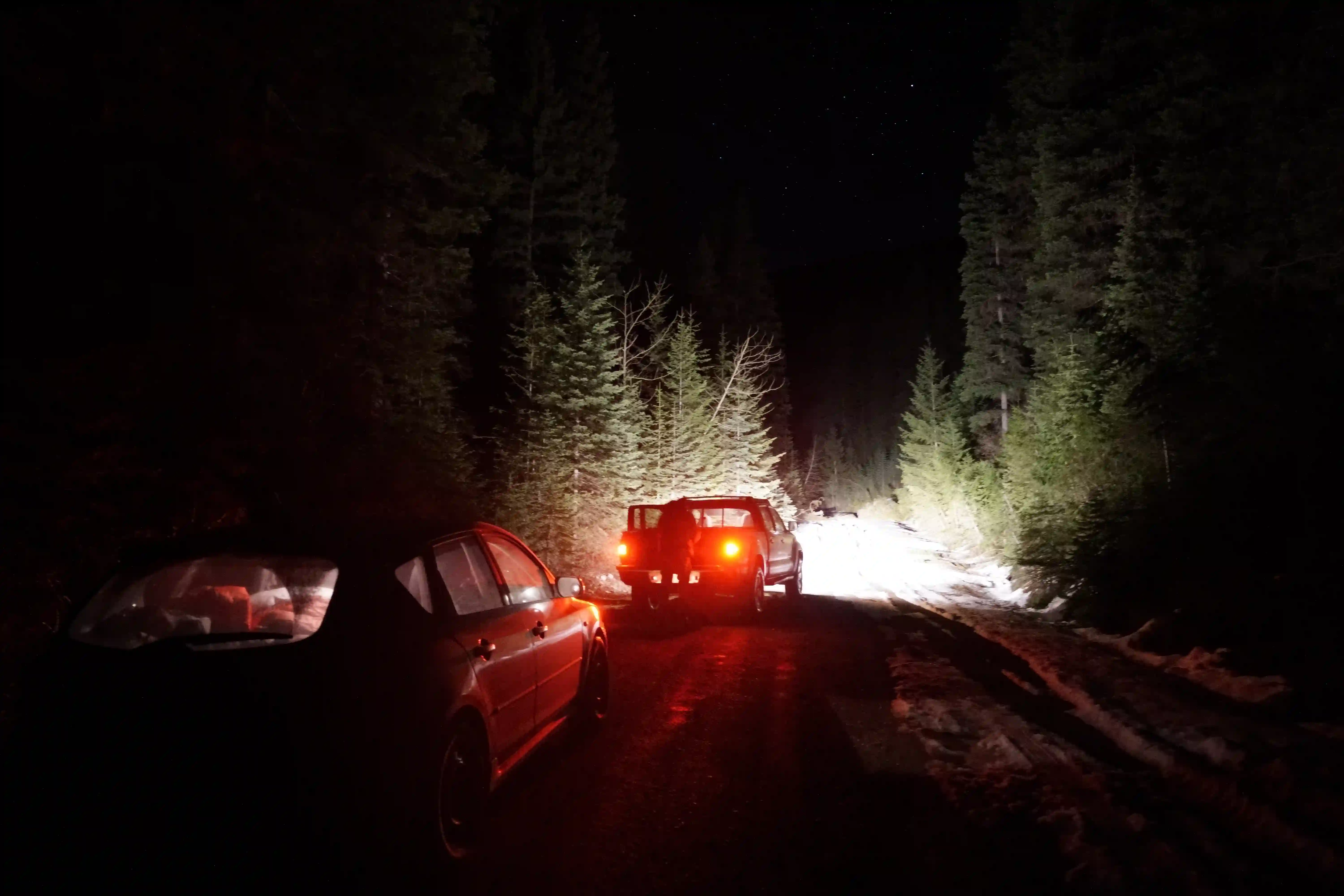
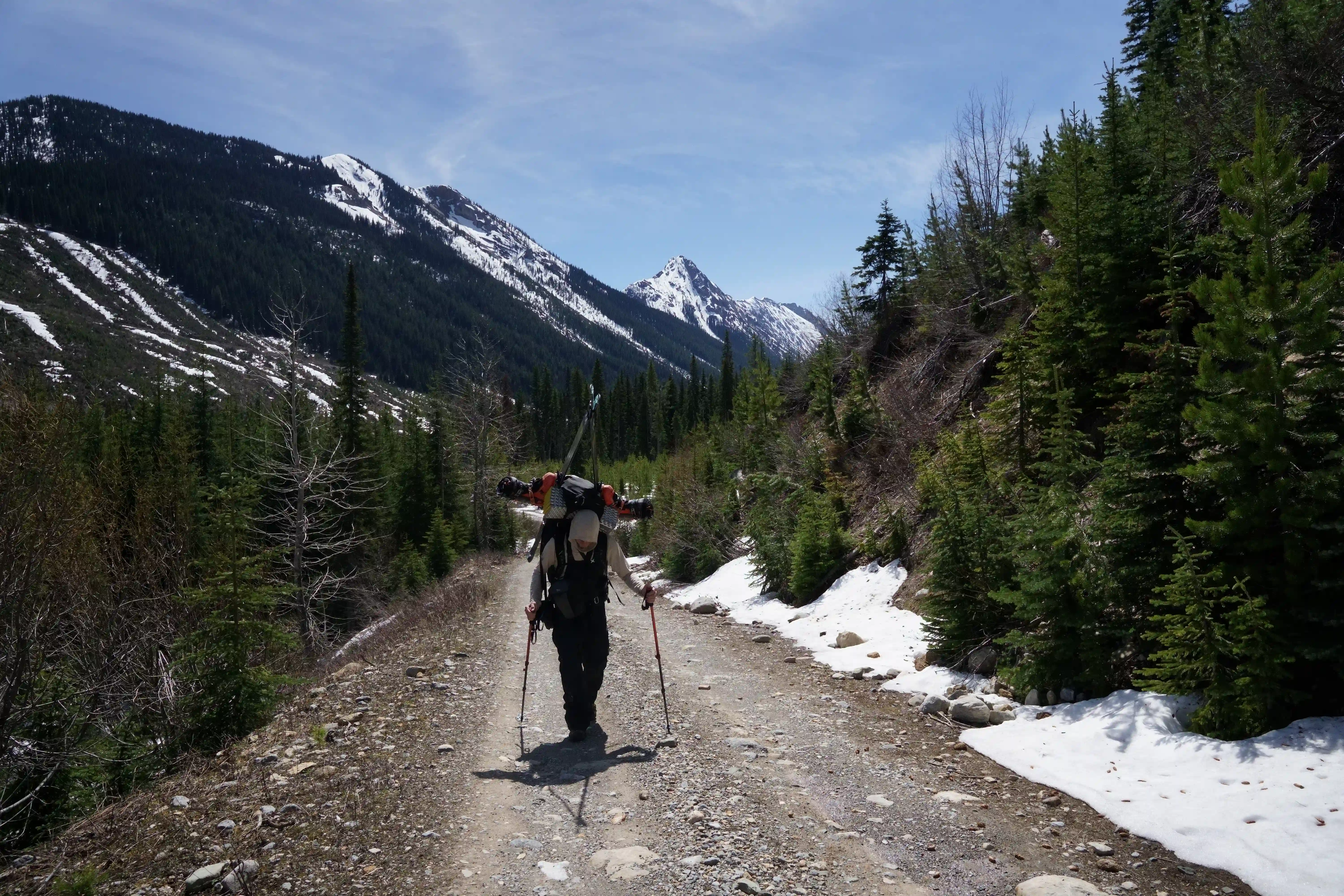
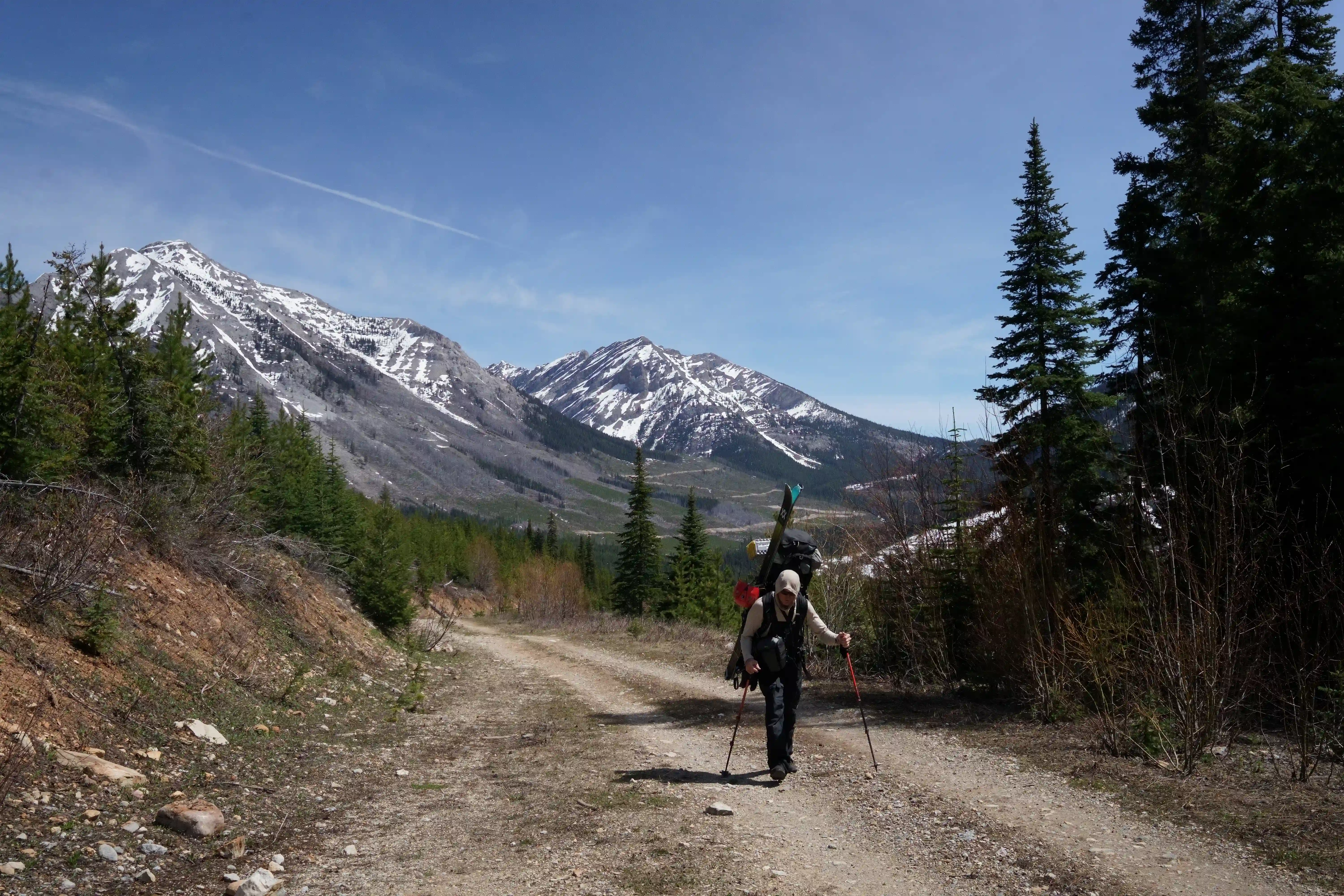
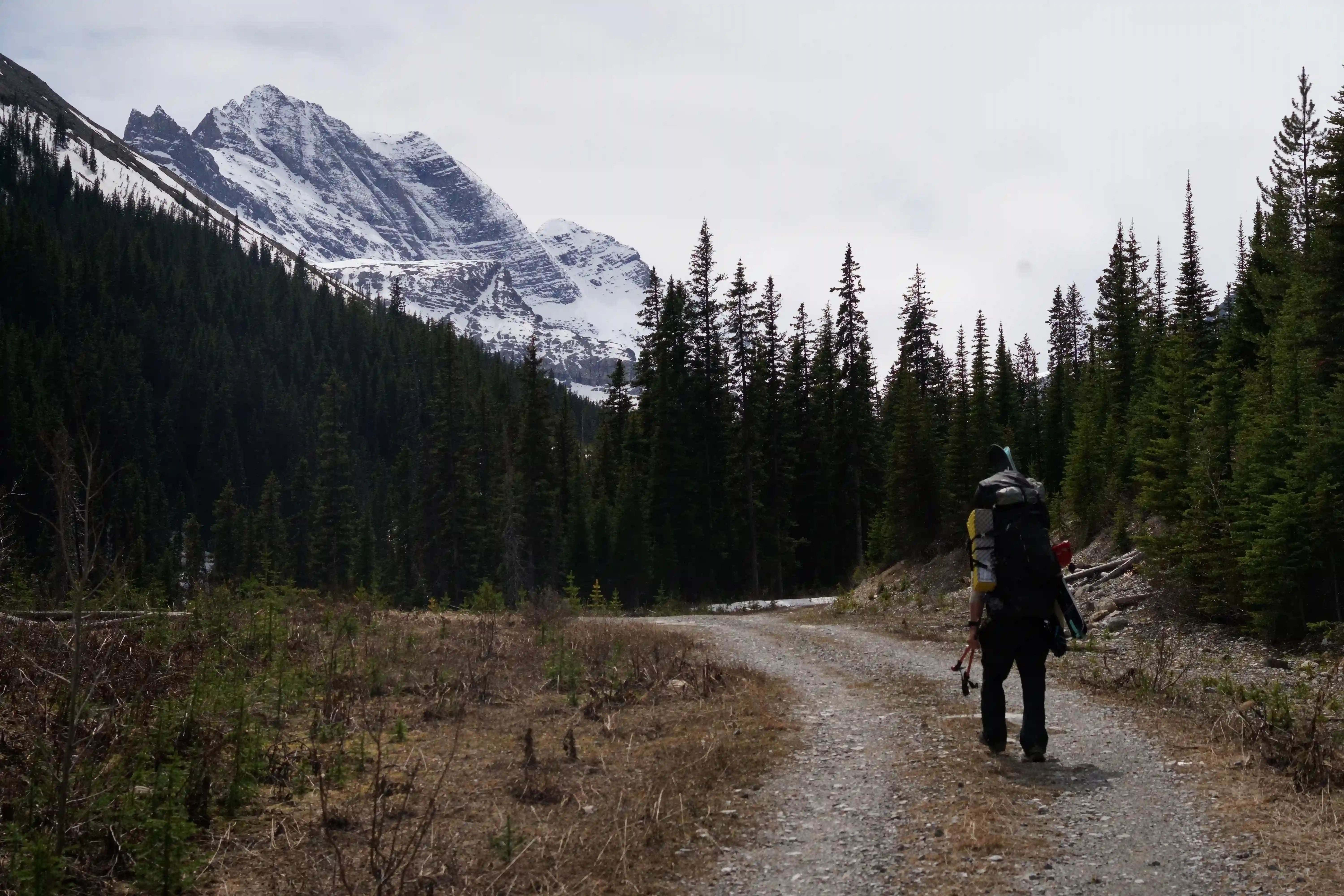
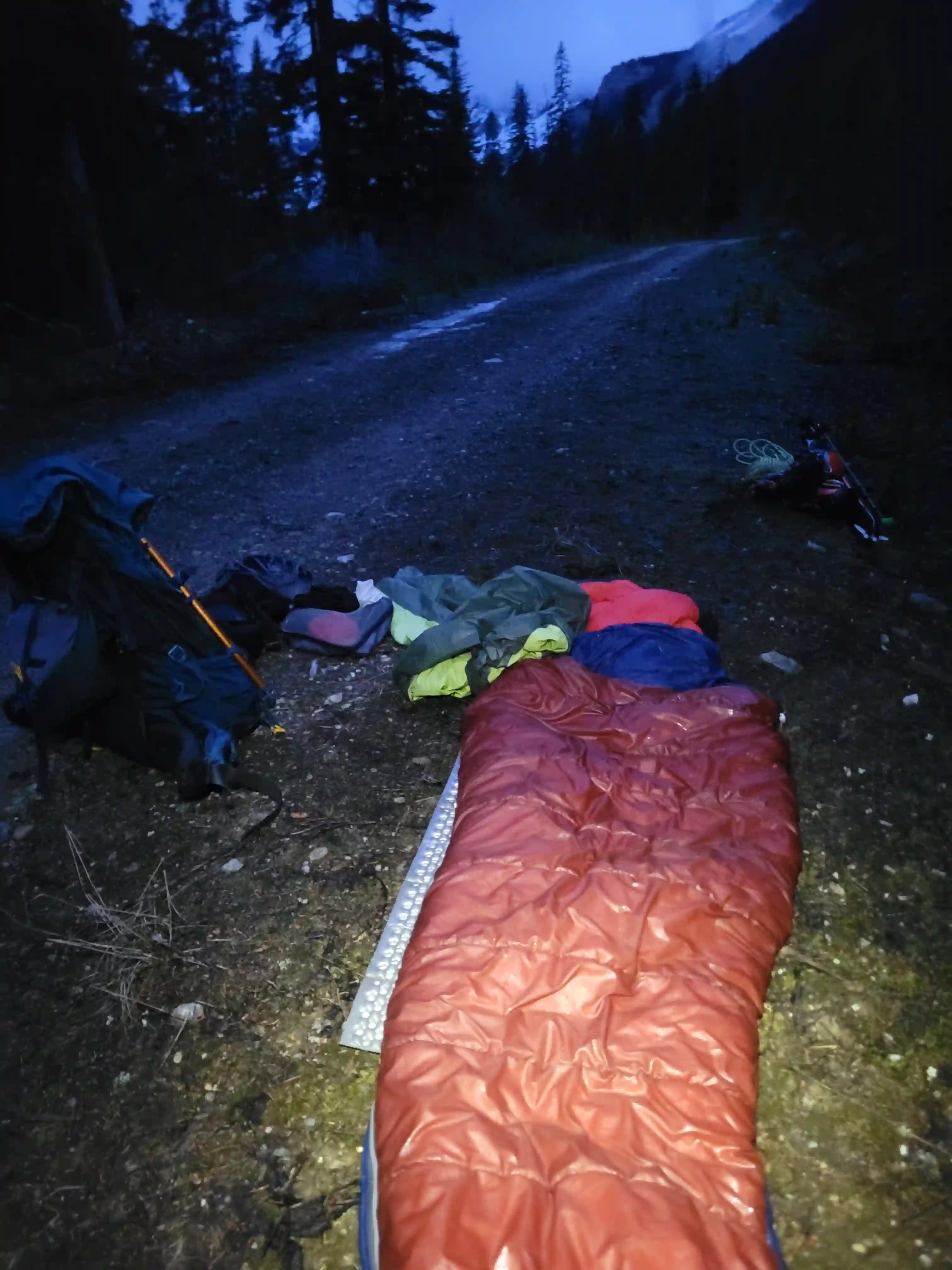
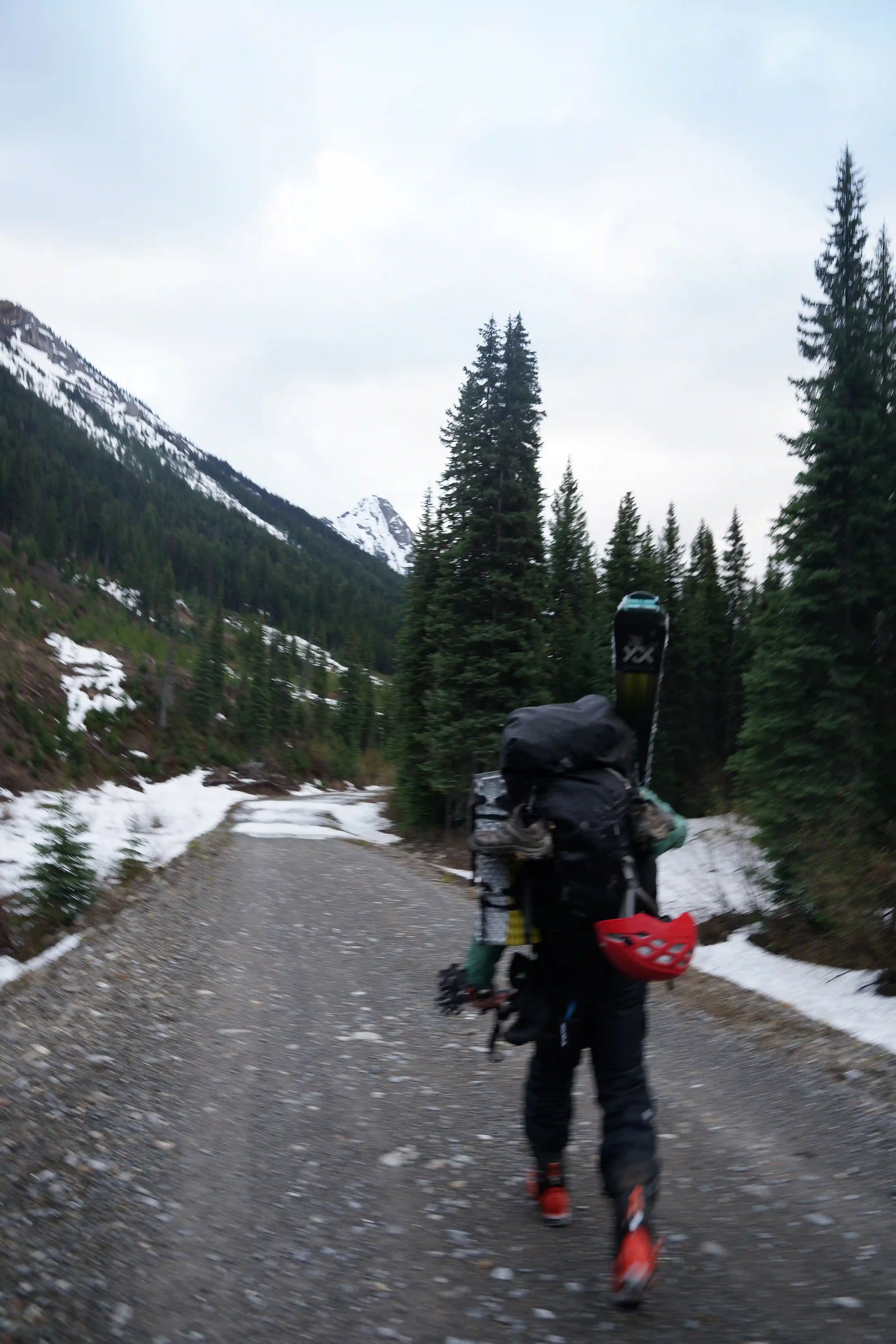
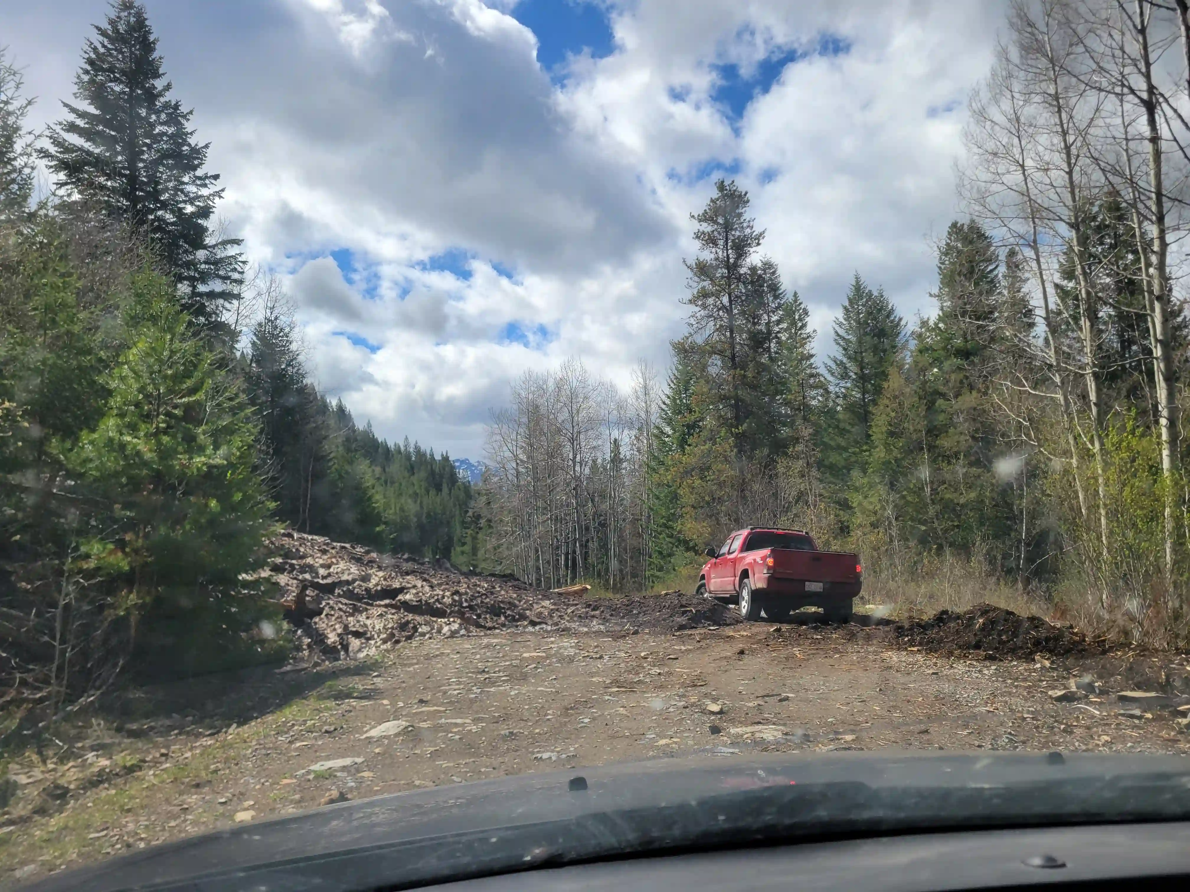
The Bull River FSR started off in pretty solid condition but about 30km in things got a bit rougher with an avy slide we had to detour around as well as numerous potholes to dodge and downed trees we had to cut and move out of the way giving a sense of the lack of recent traffic. By the time we were about 50km in it was well past 10pm so it was a time consuming process but we were at least happy to still be driving, but unfortunately our progress was put to a halt when we ran into sizable snow coverage across the road around the 71km mark that even Rob's truck couldn't get through so we decided to call it for the night. It took us a bit of time to figure out what we wanted to do, but with both of us having free schedules for the next few days and still being keen to check off the peak, what we ended up deciding on was to turn our day trip plans into a 3 day mission and finish the remaing 20km of FSR approach on foot and hoof it back out after. The next morning following a nice sleep in and a full reorganization of our bags from day trip to multiday packs we got moving around 9am continuing north along the road.
links:
STRAVA
|
GAIA
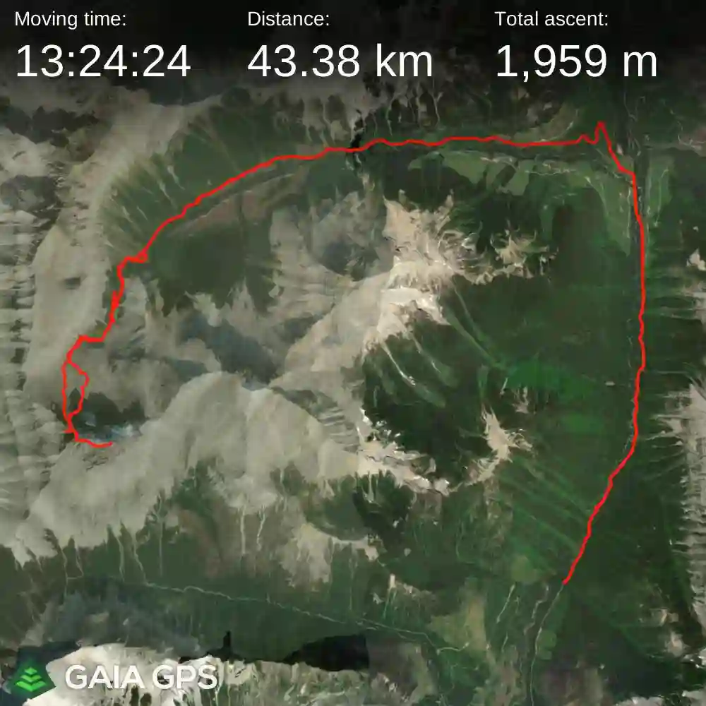
elapsed time: 48hrs
DIFFICULTY: AD-/AD, steep snow / ice / mixed climbing, 5th class up to 5.3-5.4, remote
Use the following links to jump to:
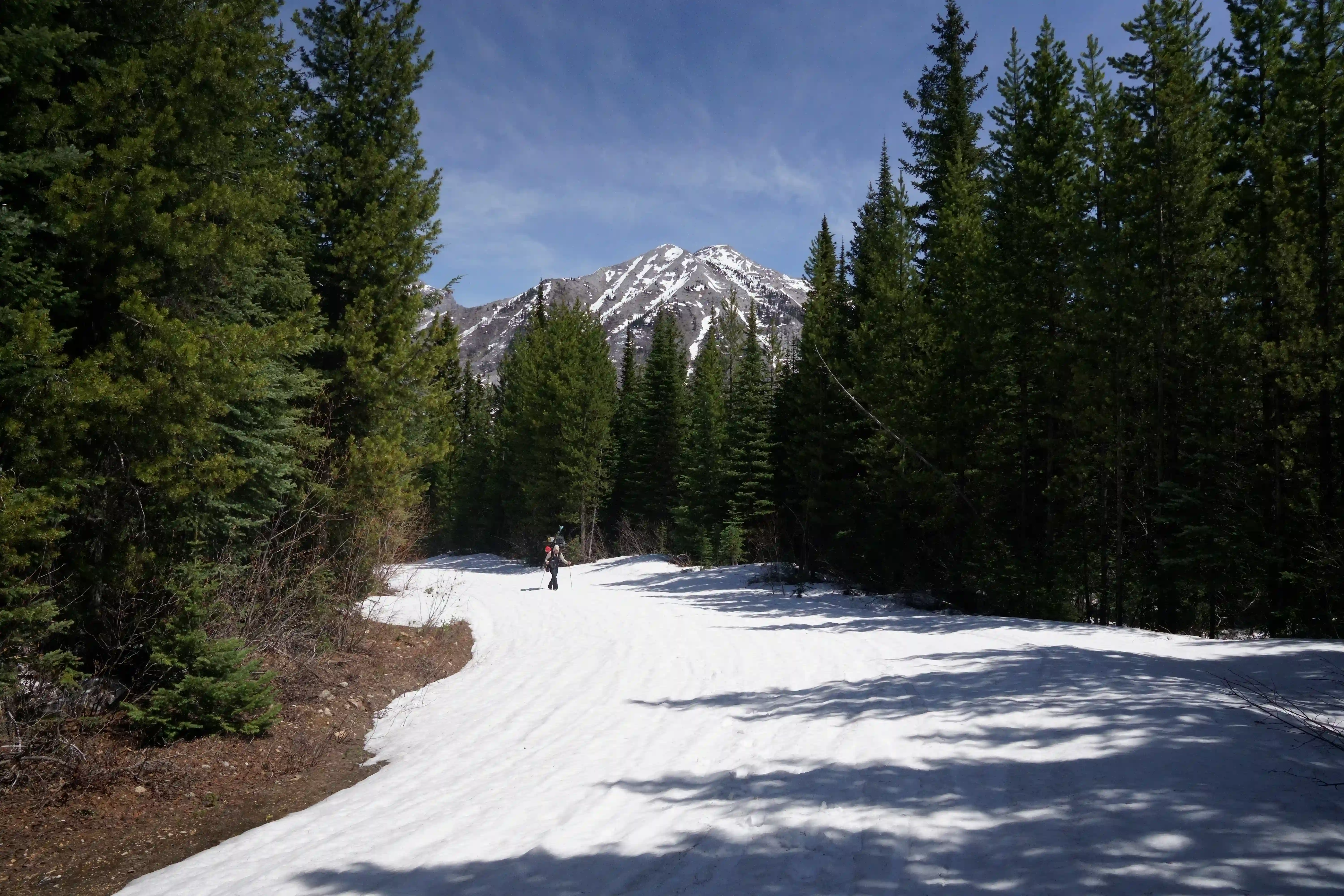
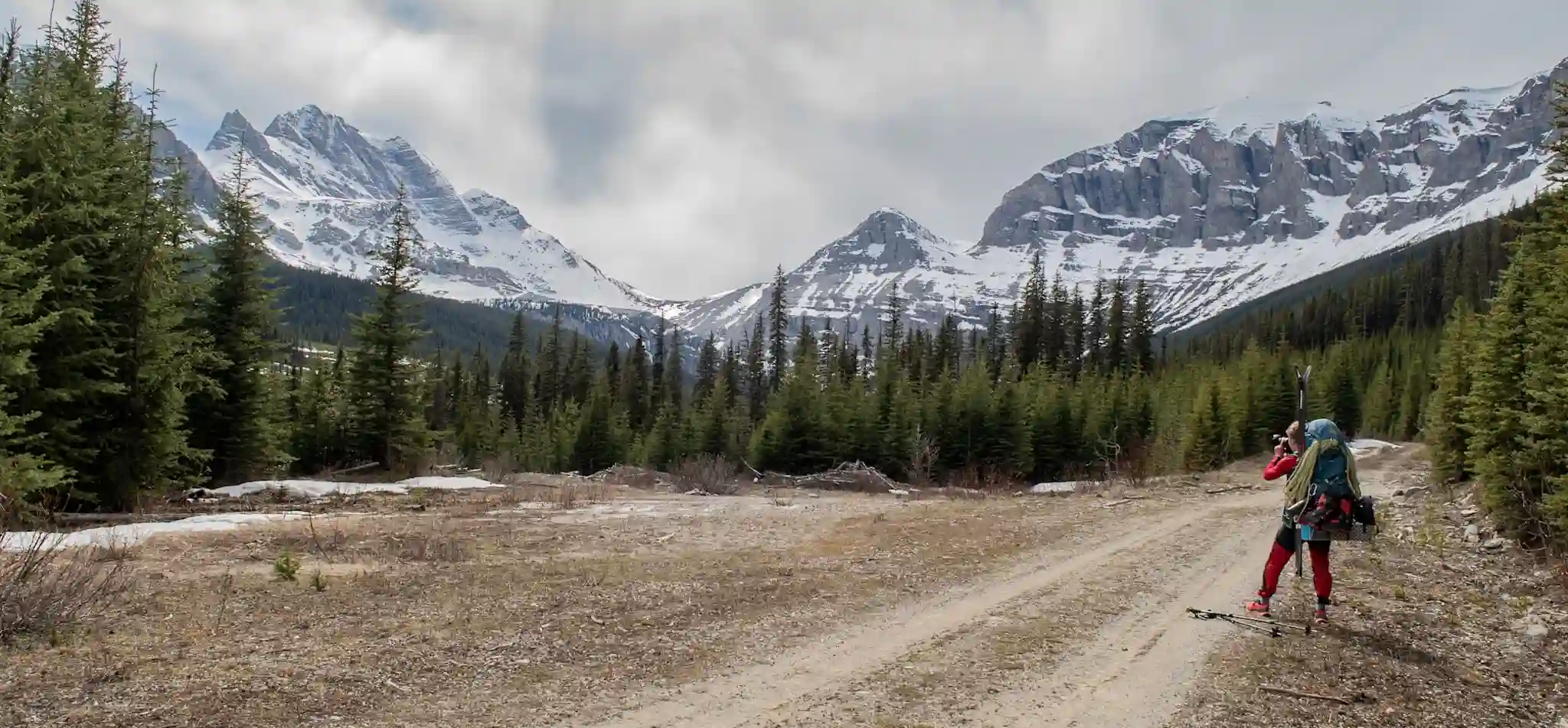
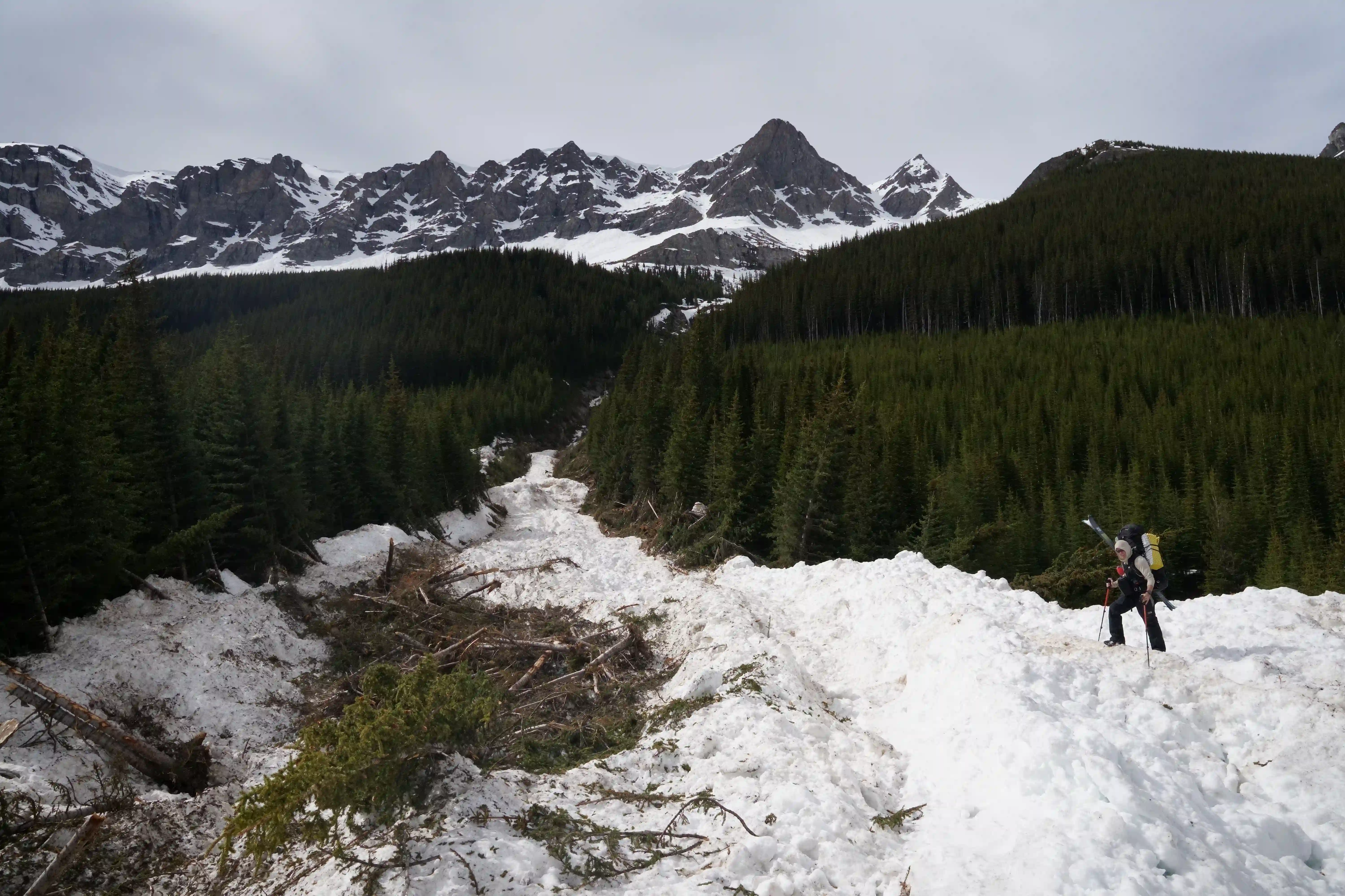
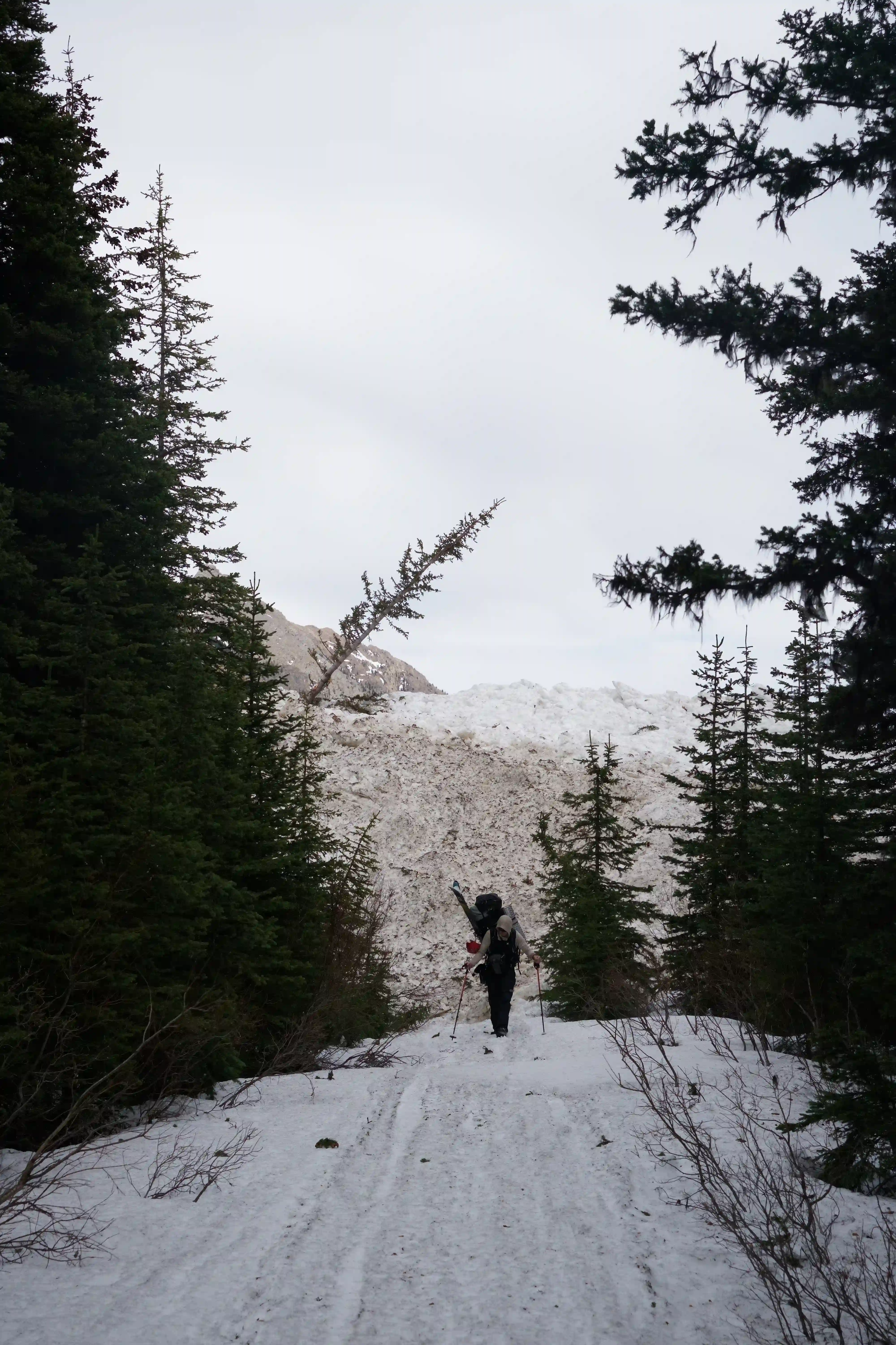
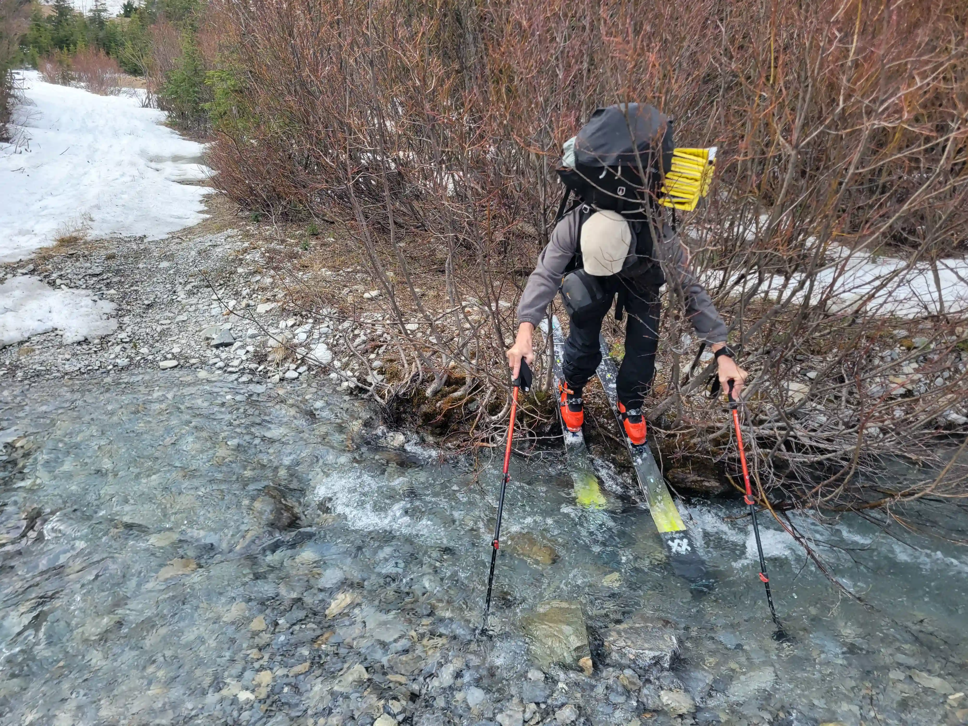
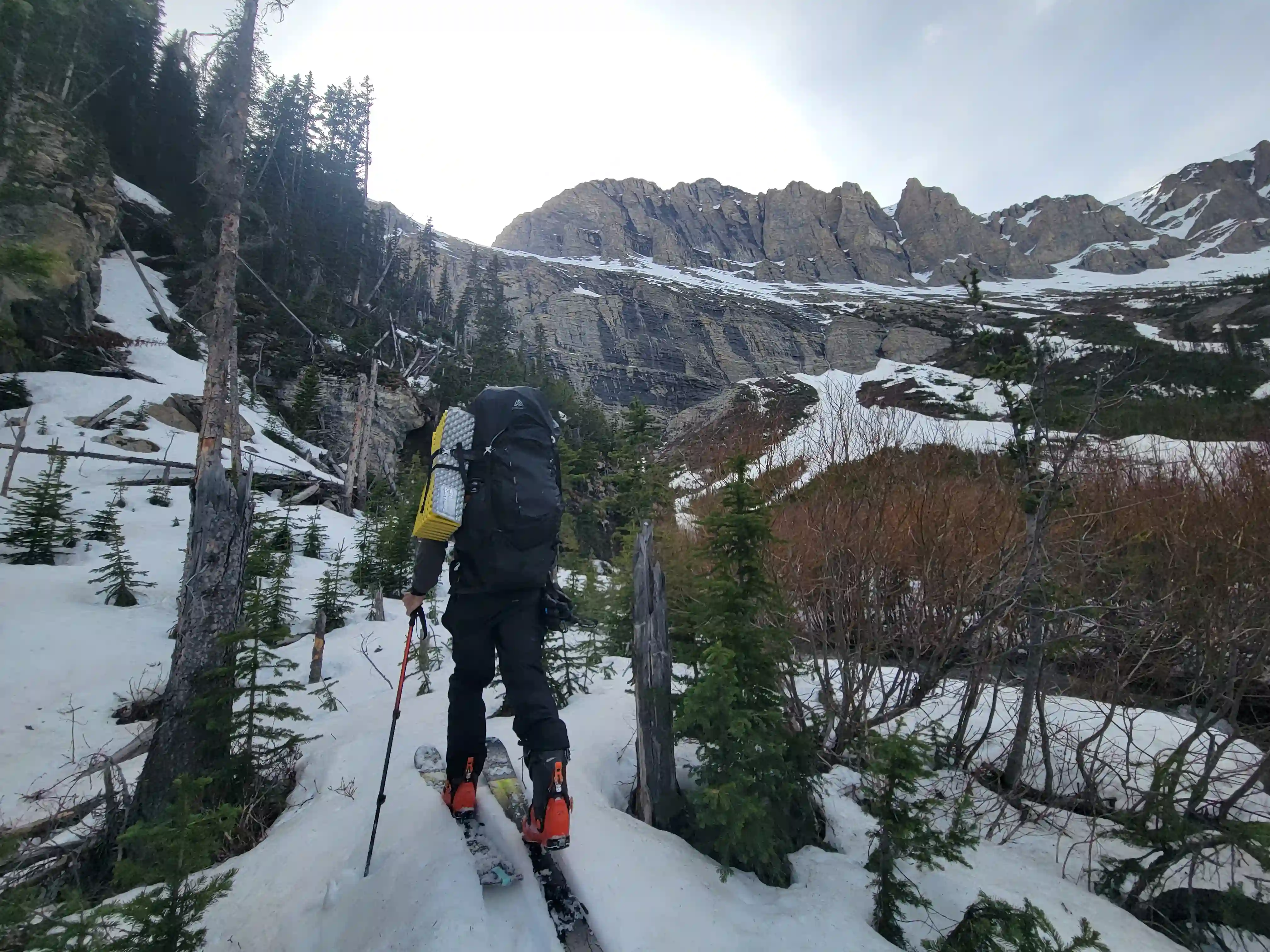
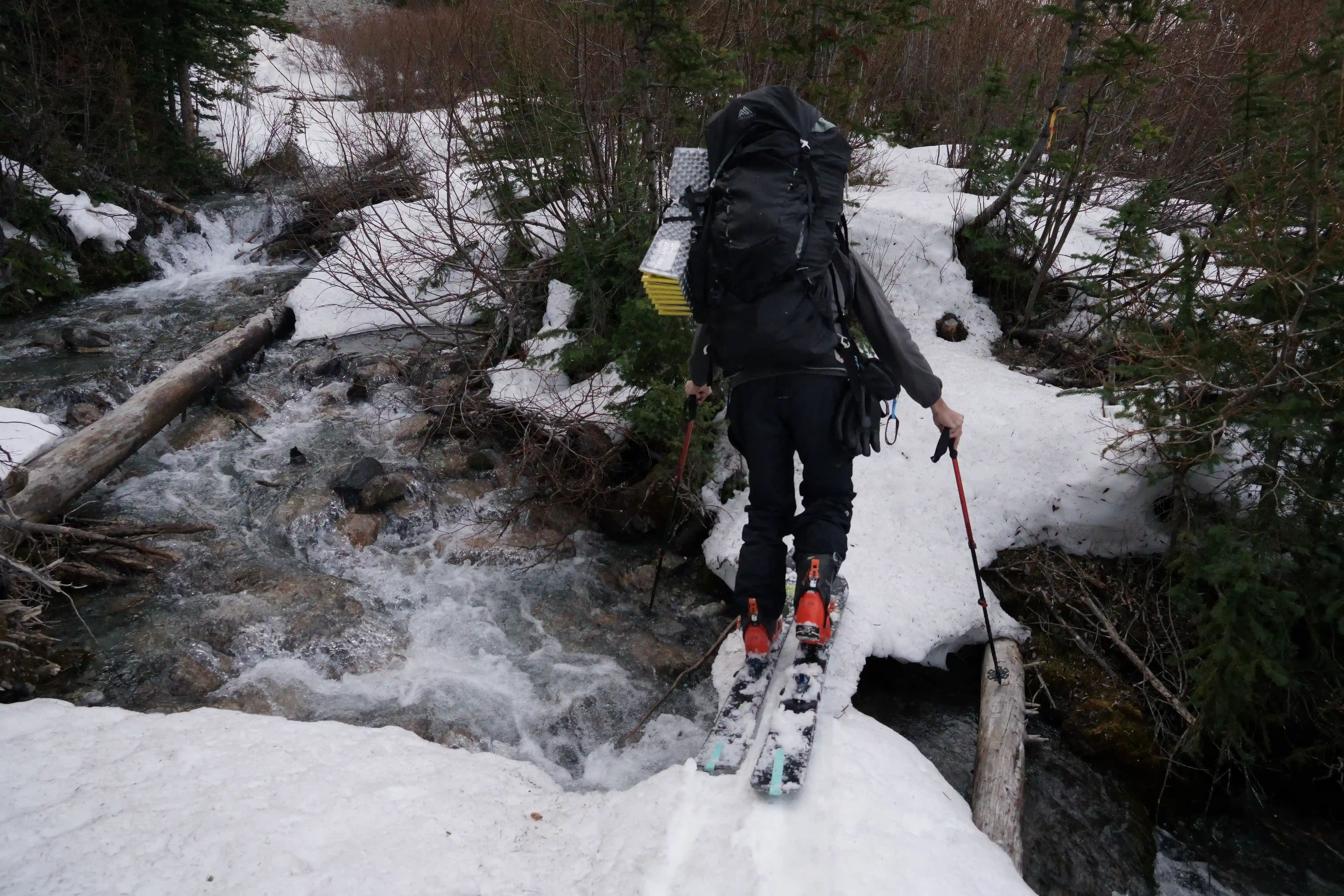
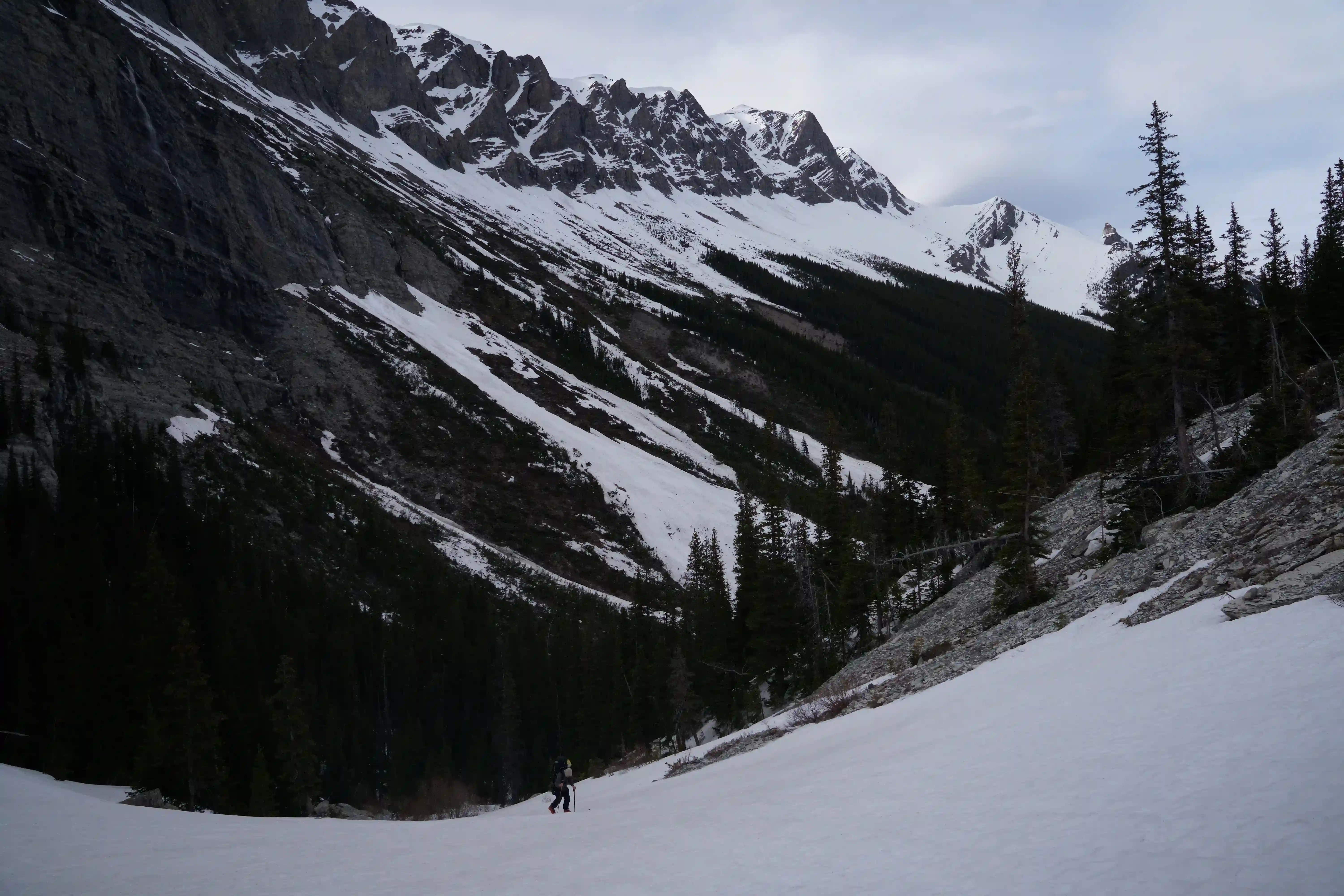
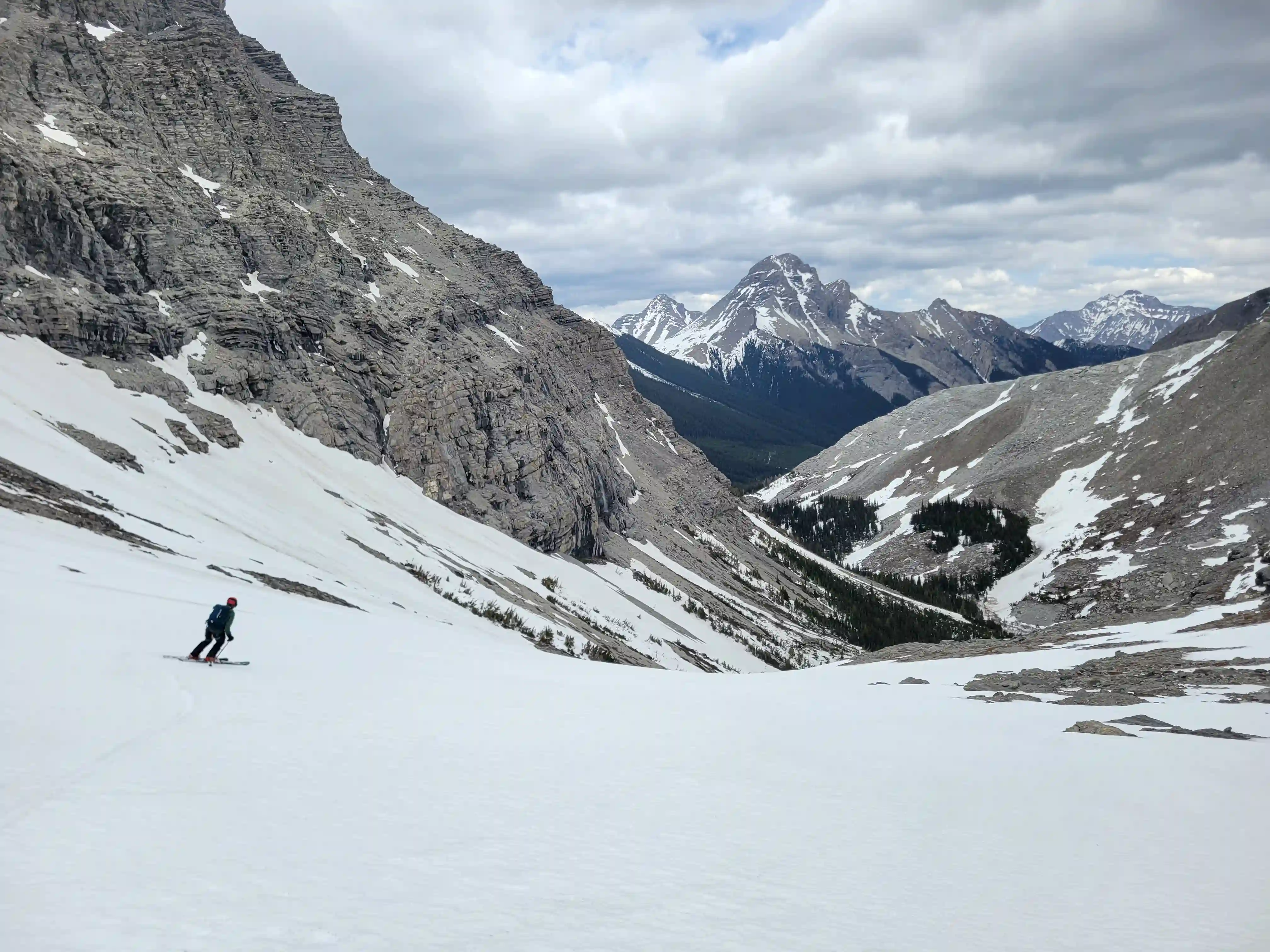
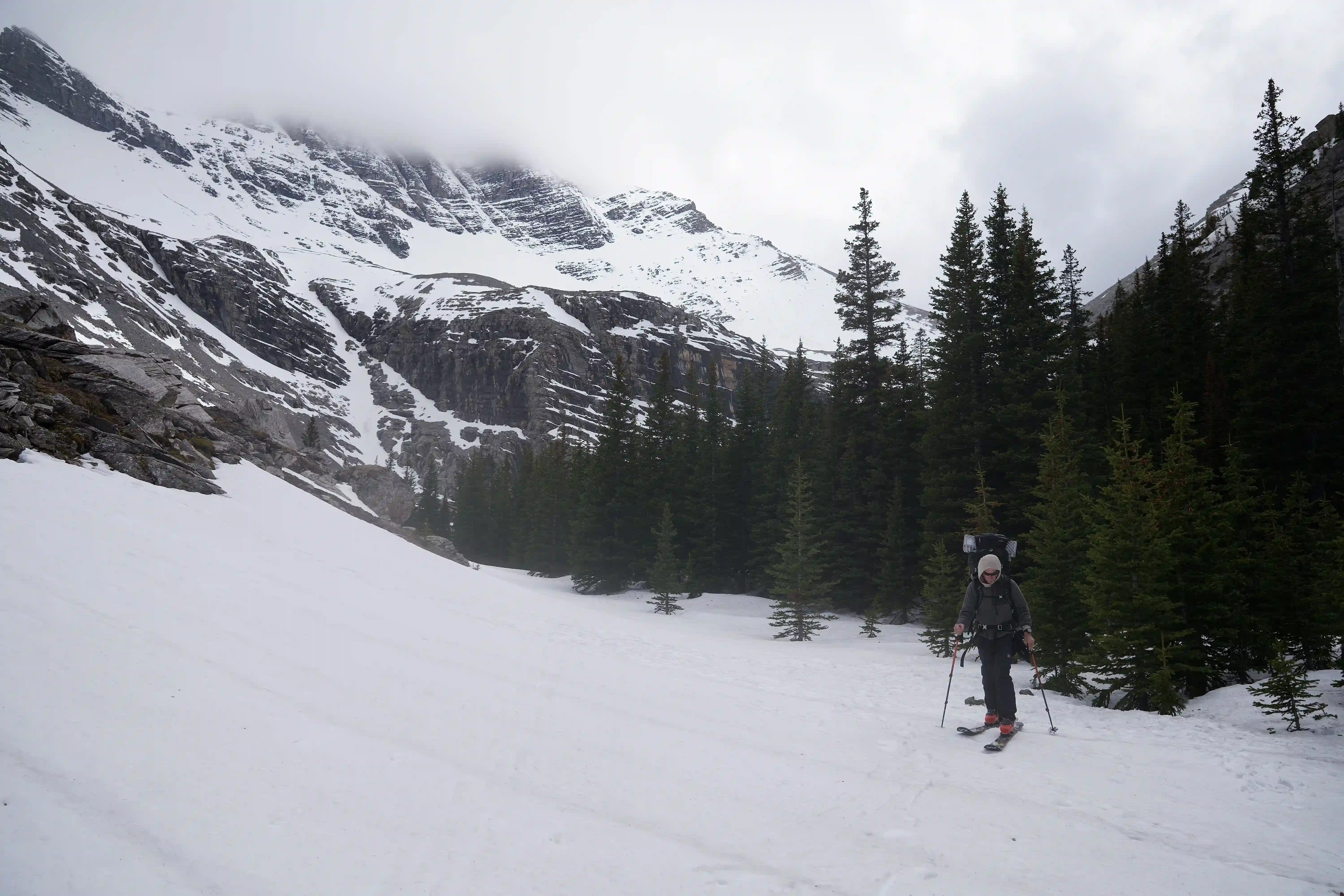
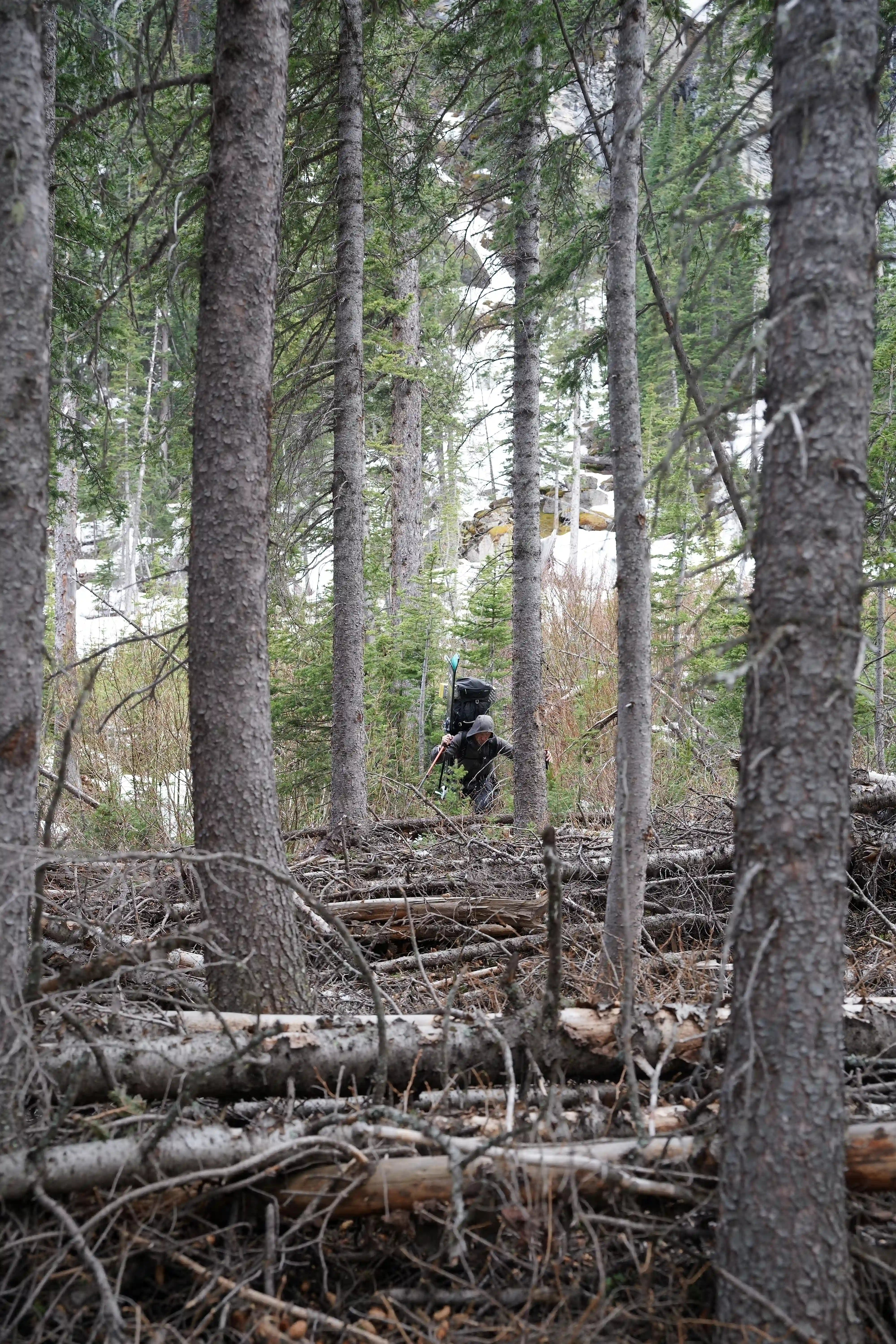
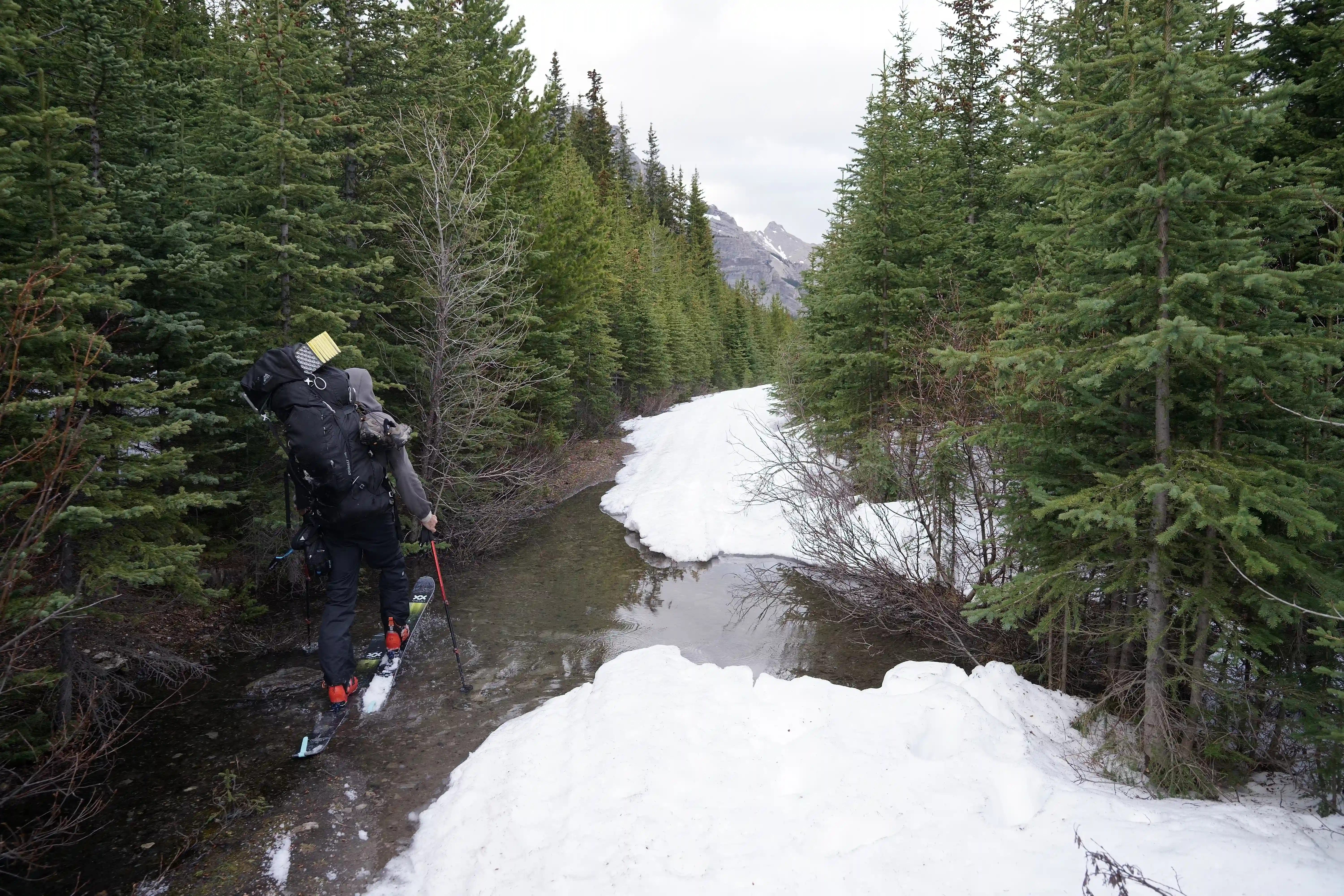
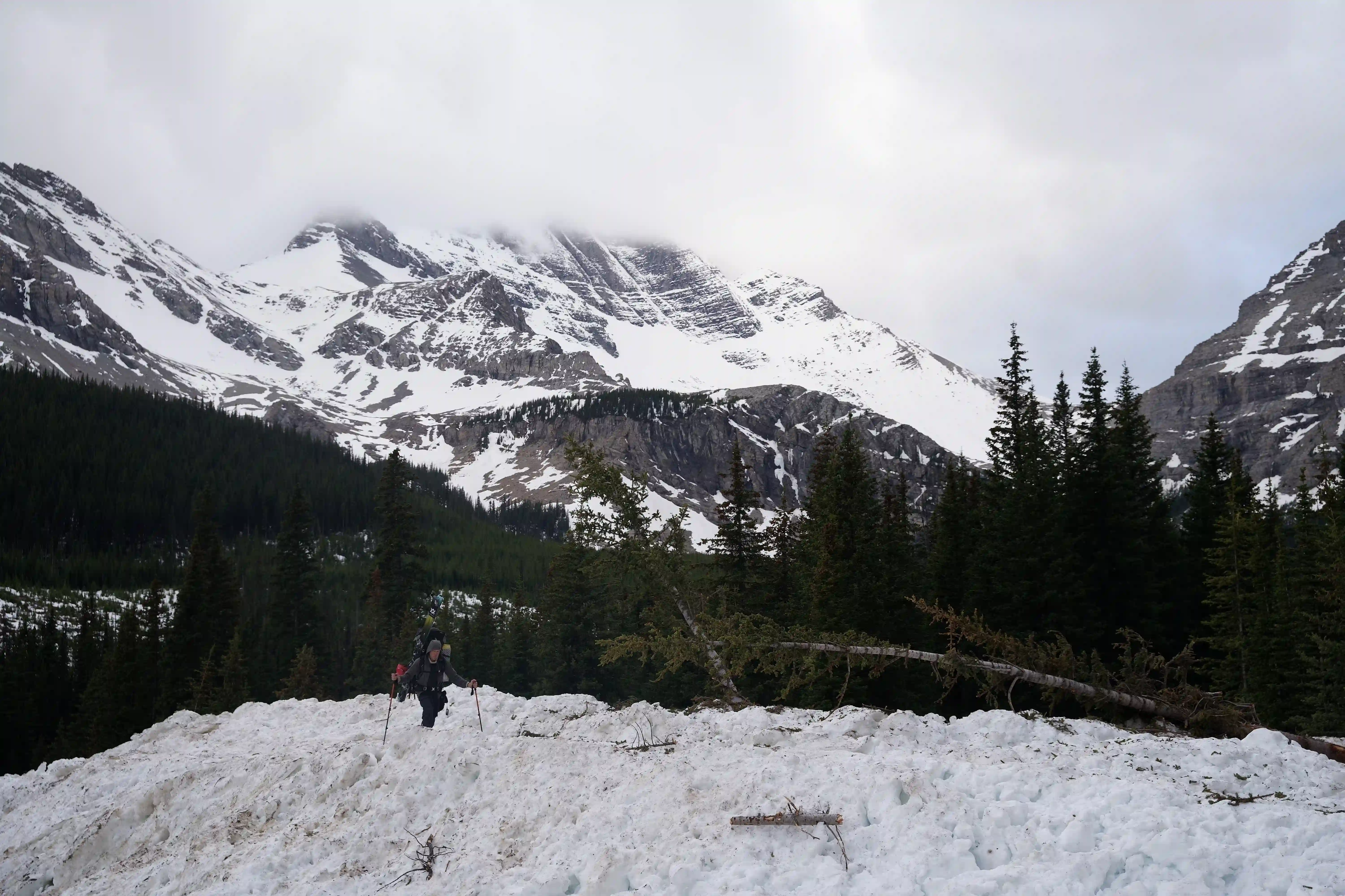
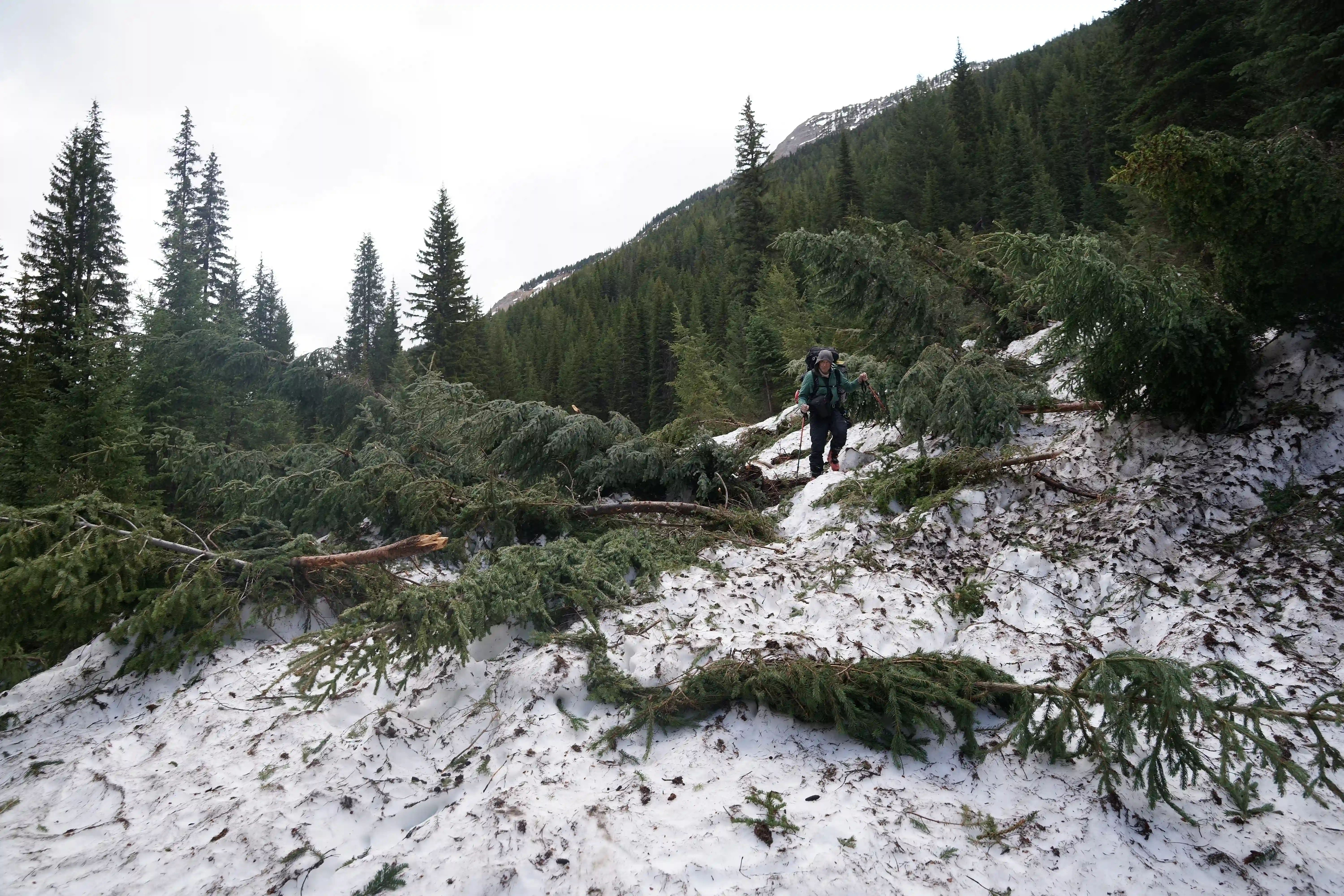
The remainder of the Bull River FSR ended up being about 75% snow covered for our approach so it would've been tedious travel even with a bike, and aside from one particularly annoying flooded section early on that we had to do detour around travel was straightforward all the way to the Harrison Creek FSR where the road dried out even more because of it's more sun exposed west to east direction. There was a lot more elevation gain through this portion of our approach so we definitely slowed down but the lack of transitions was nice and it was a simple walk until about a kilometer from the usual start point where we encountered a massive avy slide debris pile we had to get over and from there we could keep the skis on for the rest of the way in.
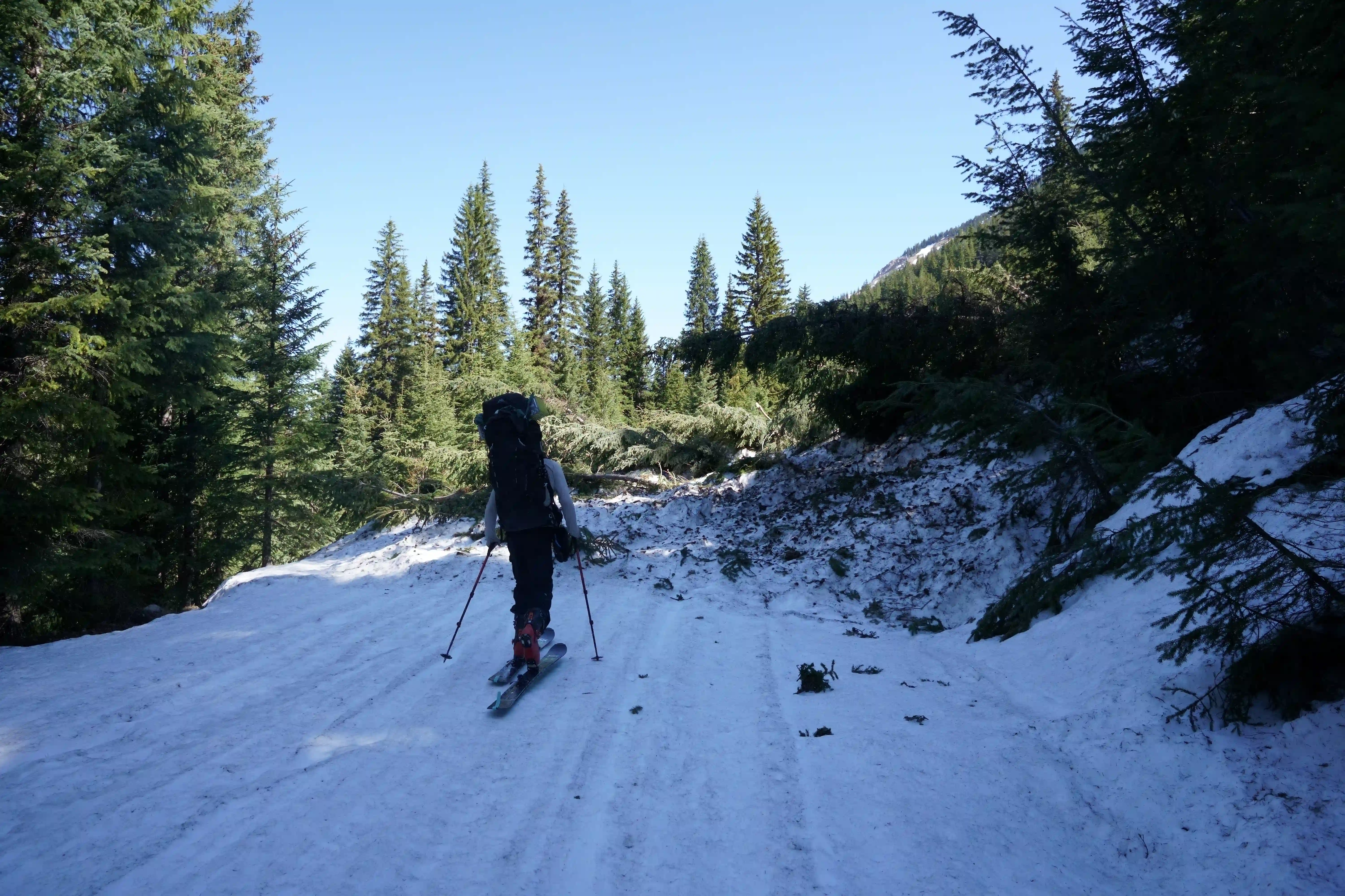
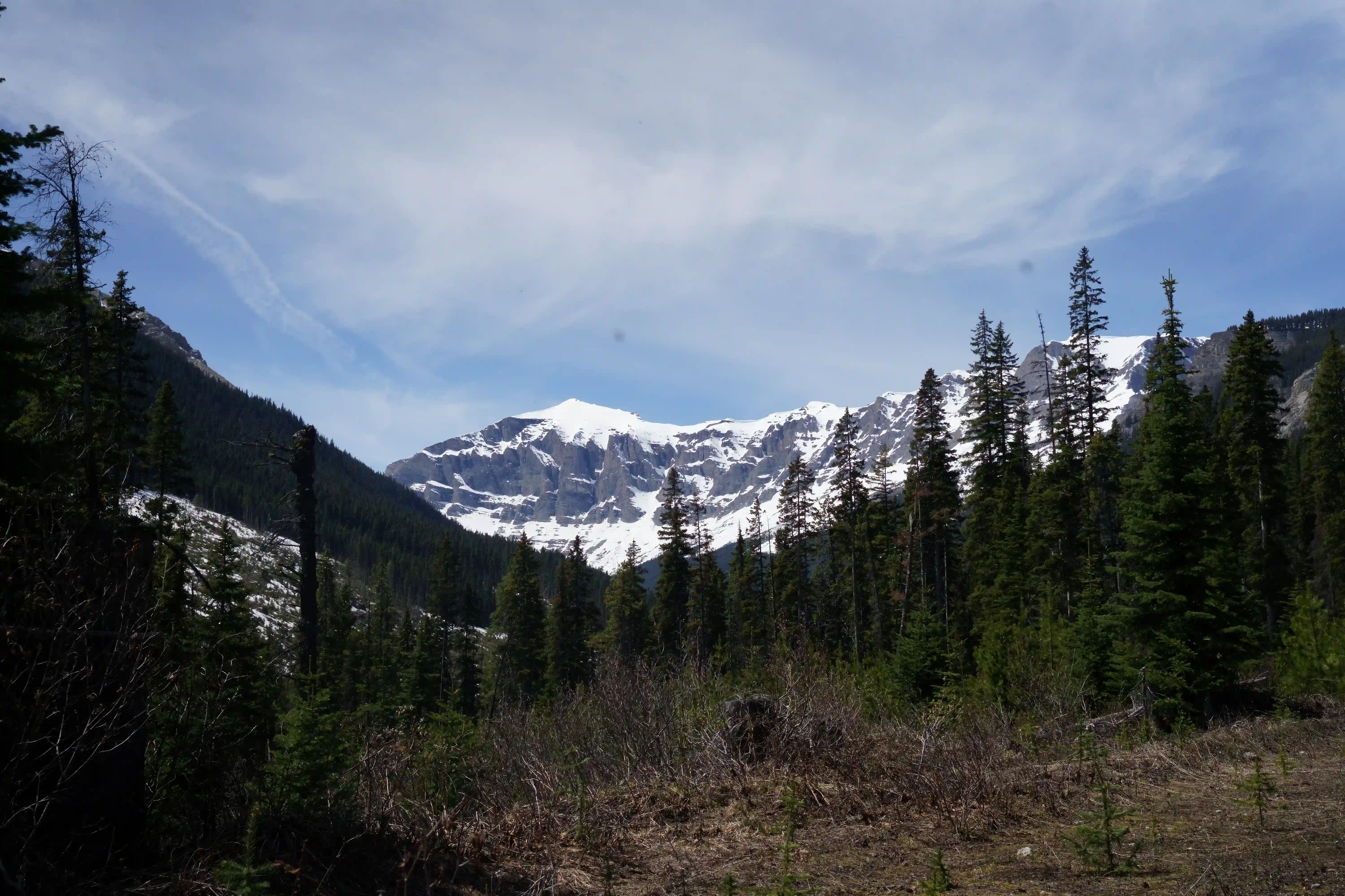
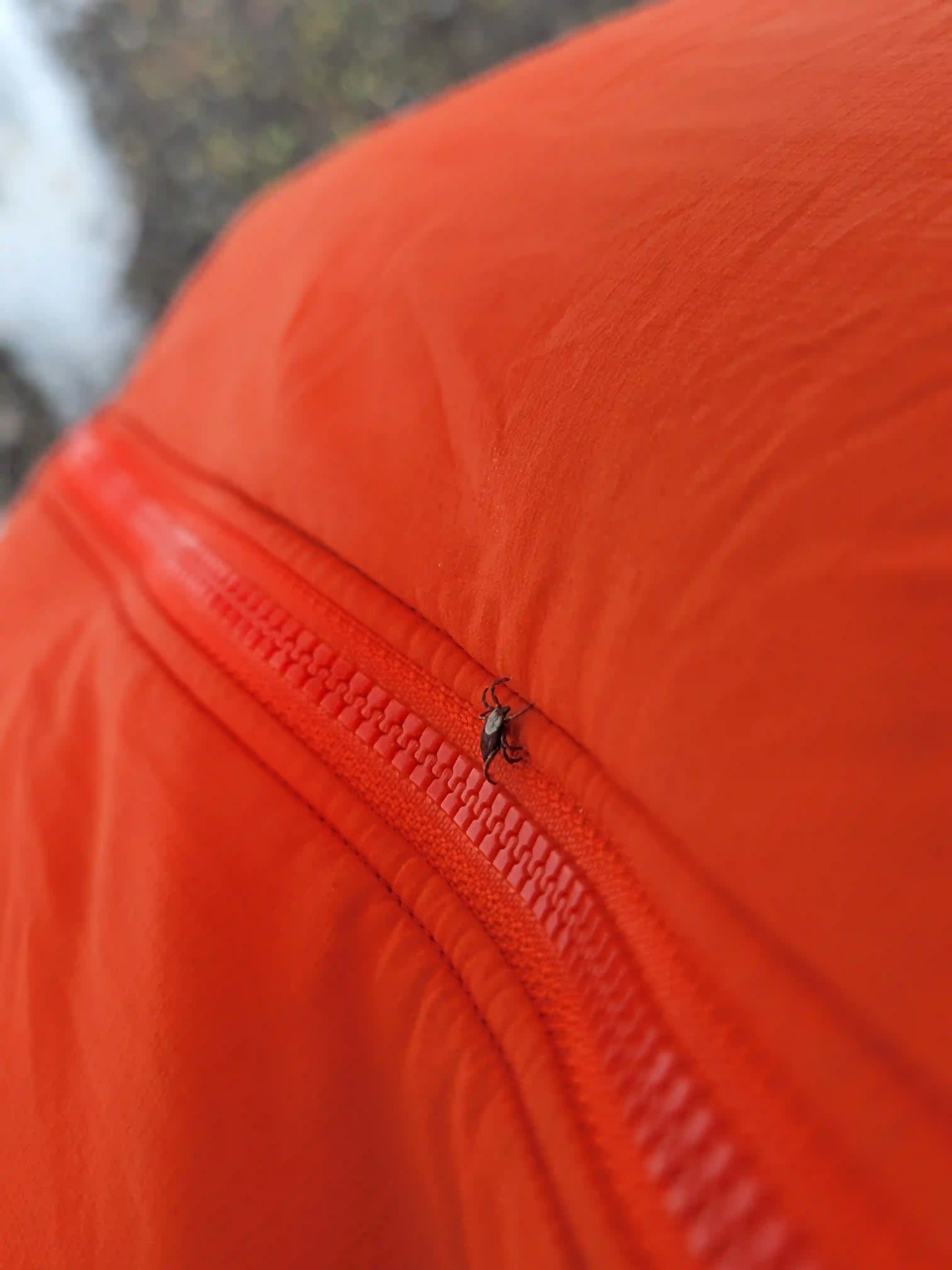
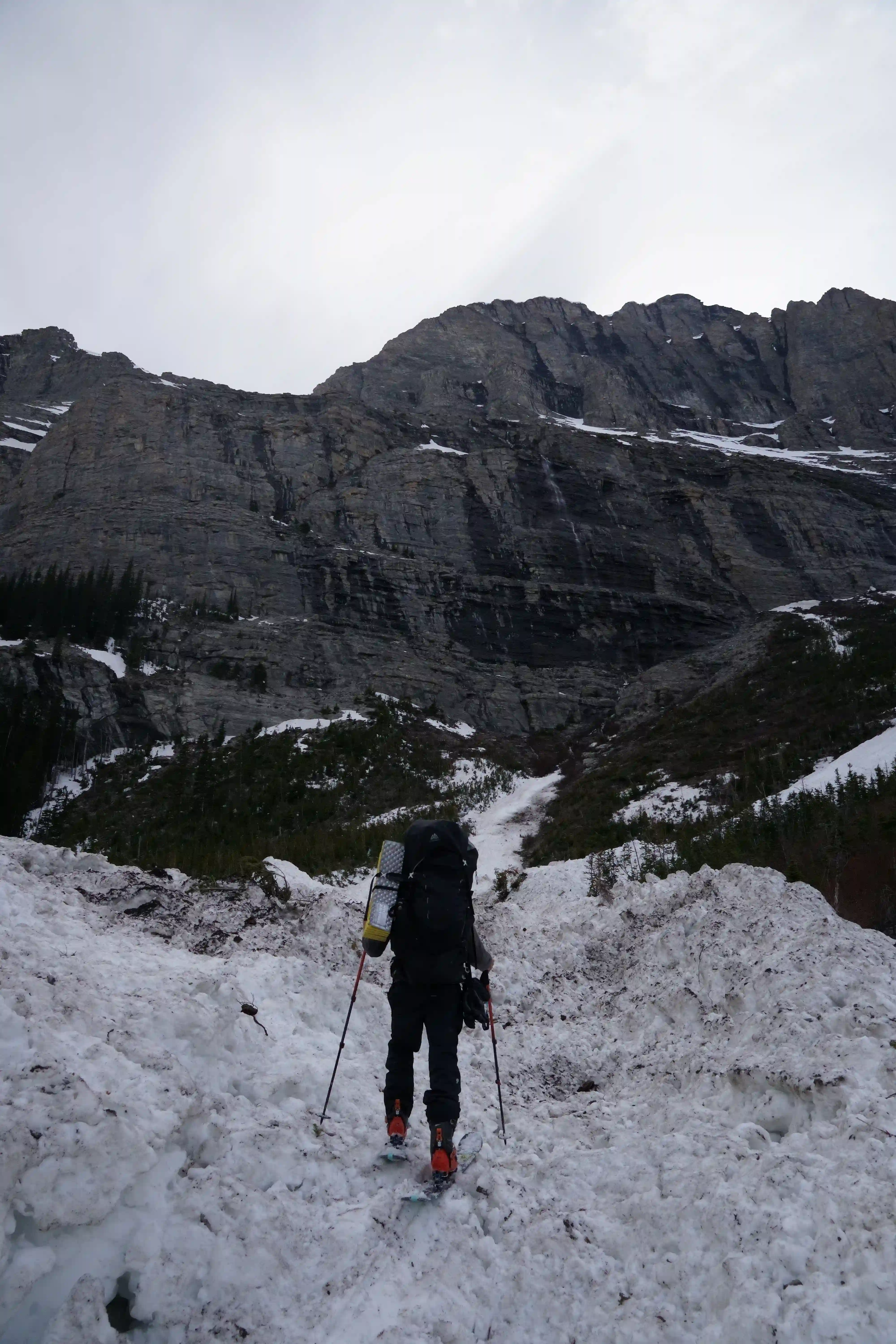
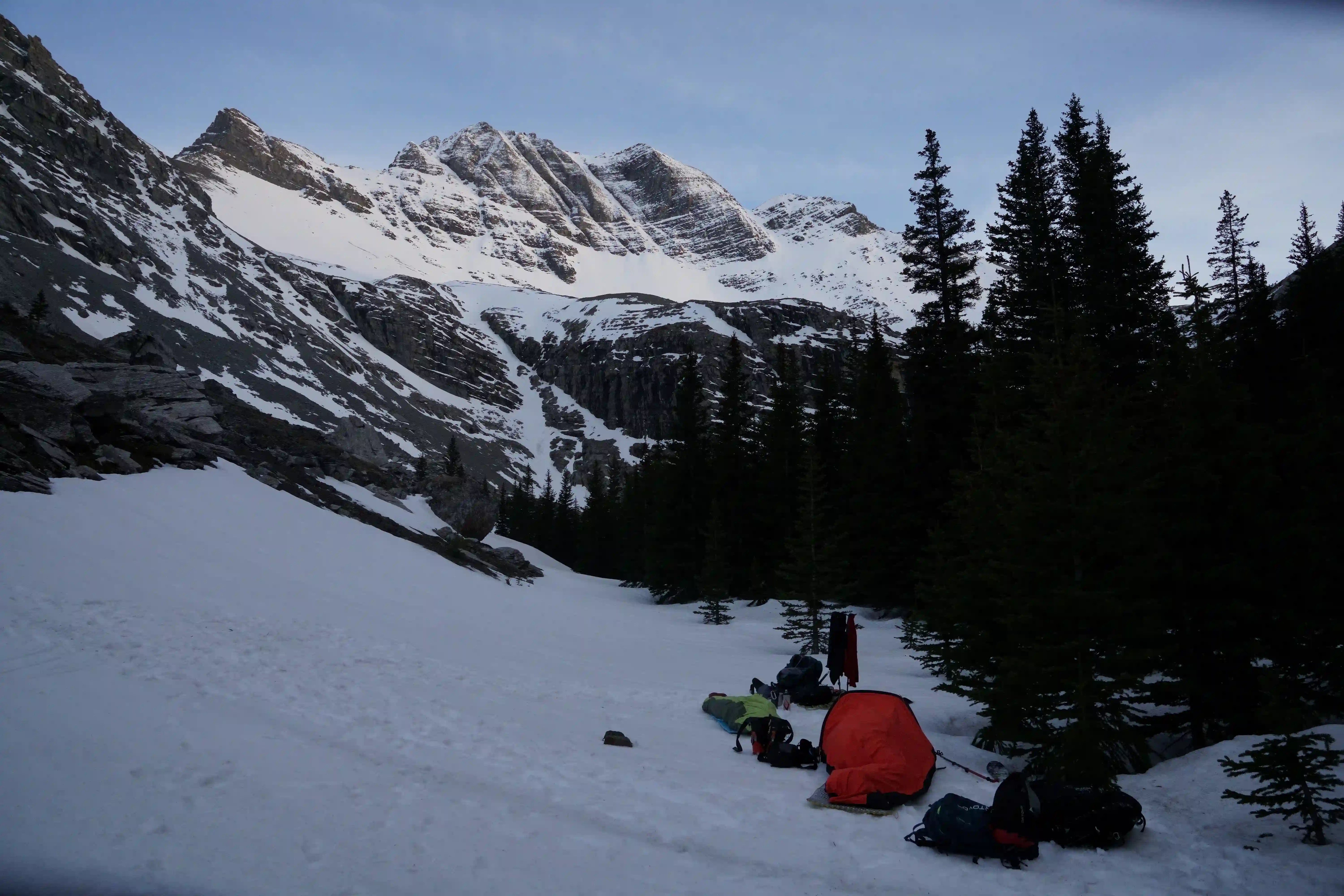
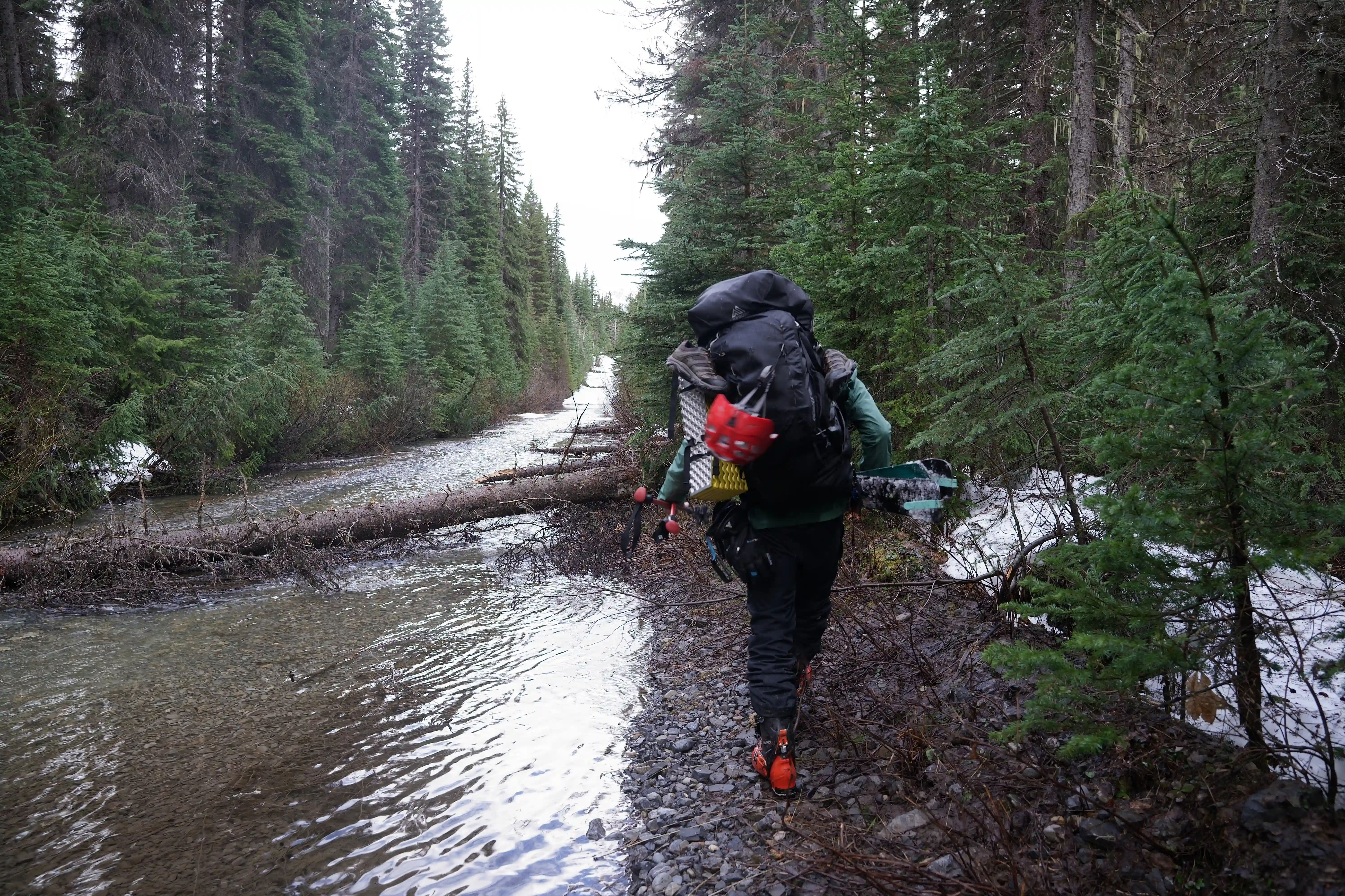
Although there's a specific route to approach for Harrison, at this time of year with the snow coverage it was hard to see any signs of a route beside a ribbon here and there so this section was a bit annoying with some bush, creek crossings, and warming snow conditions to deal with but it didn't take us long to start getting out of the dense trees and closer to the alpine where once we had a good viewpoint of Harrison's upper slopes we decided to call it for the day and continue early the next morning with much lighter packs. Given that our intended summit day with a proper freeze ended up being our approach day, and that weather and temps overnight weren't forecasted to be nearly as good for day 2 of our trip, we opted to go for a different line than the north couloir as that feature is a big terrain trap and we didn't want to be forced to turn around because of bad snow conditions above us, more on the route we ended up going with later!
Follow the journey
I'll send you an email when a new trip report drops.

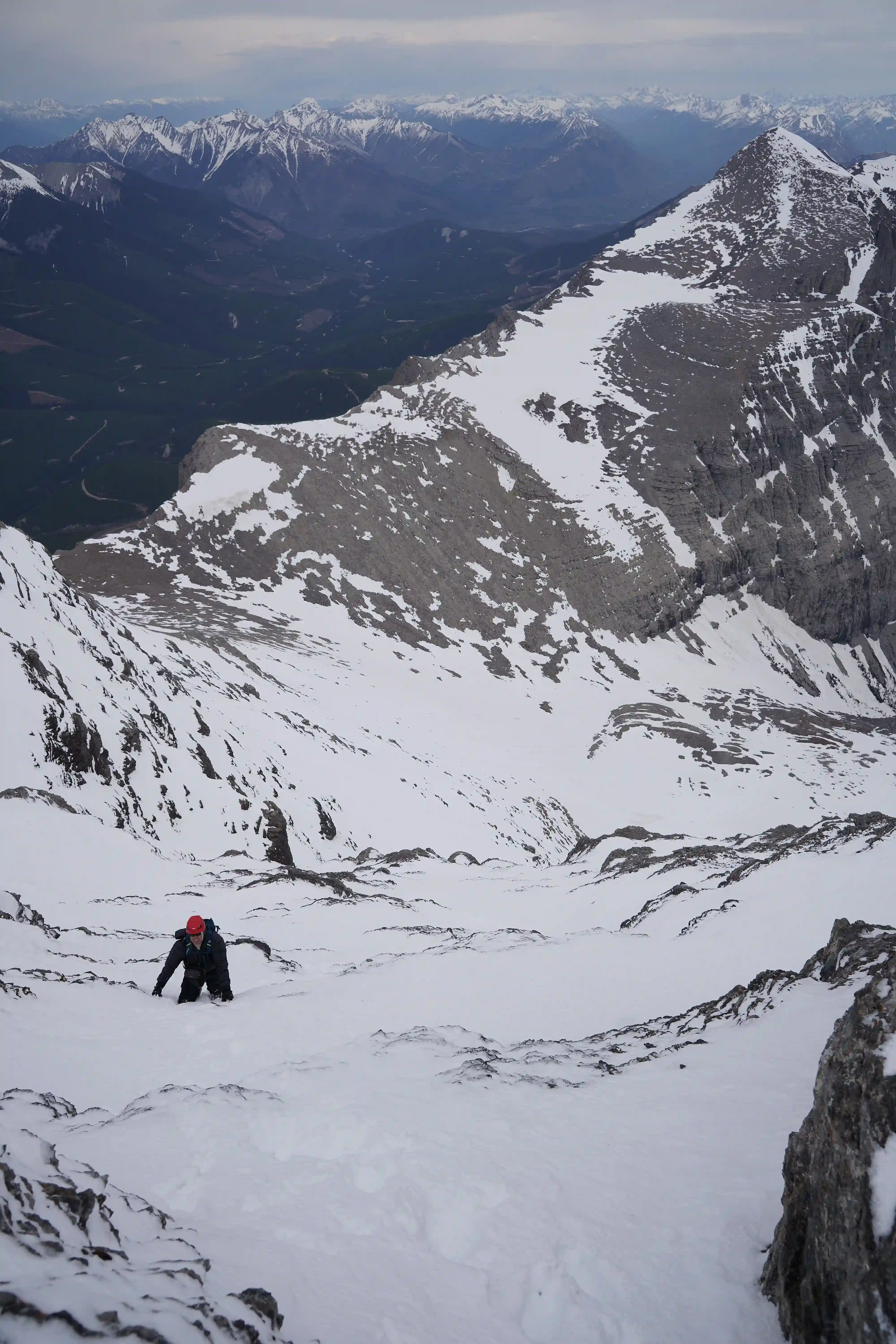
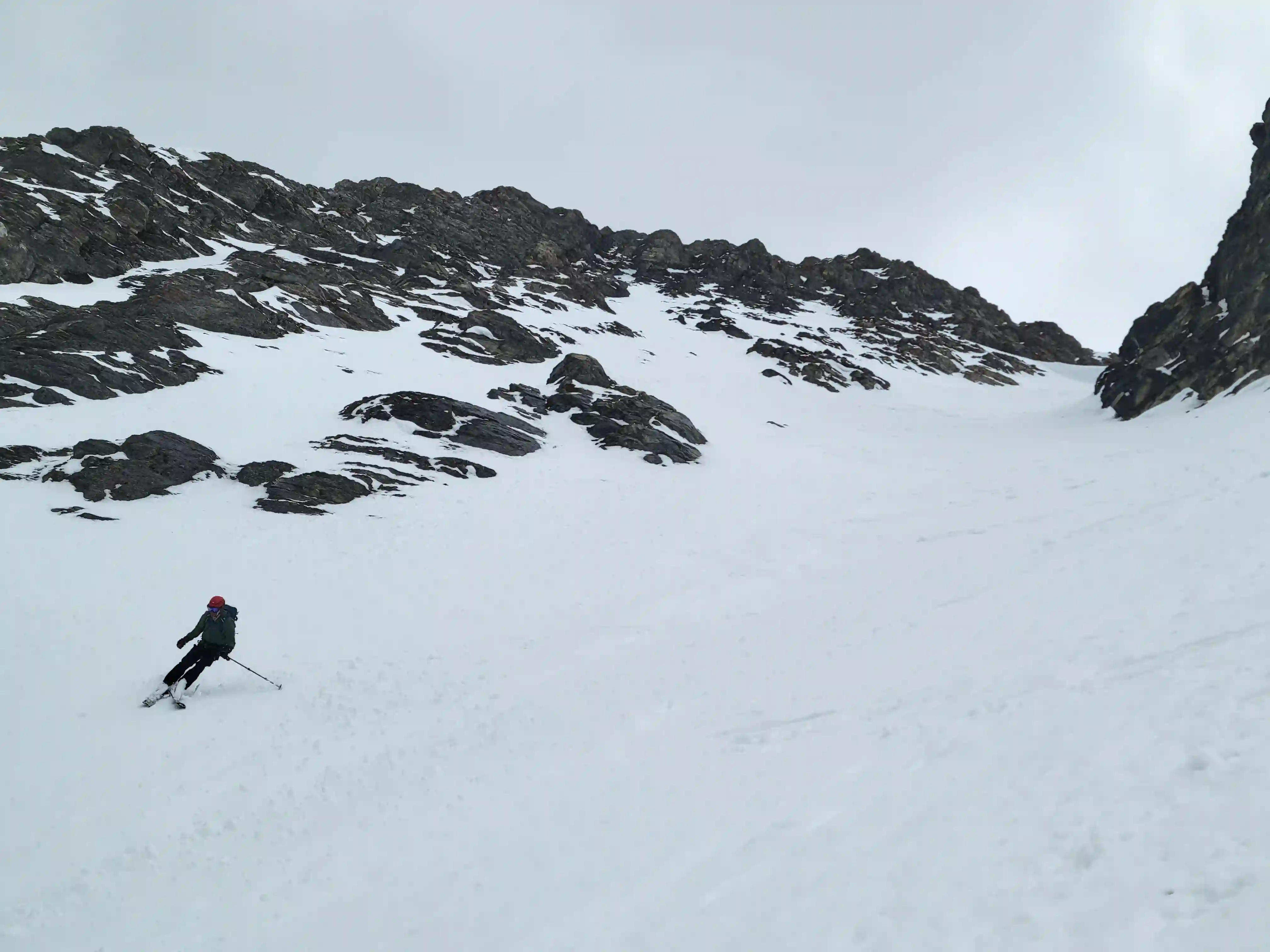
THE LONG APPROACH
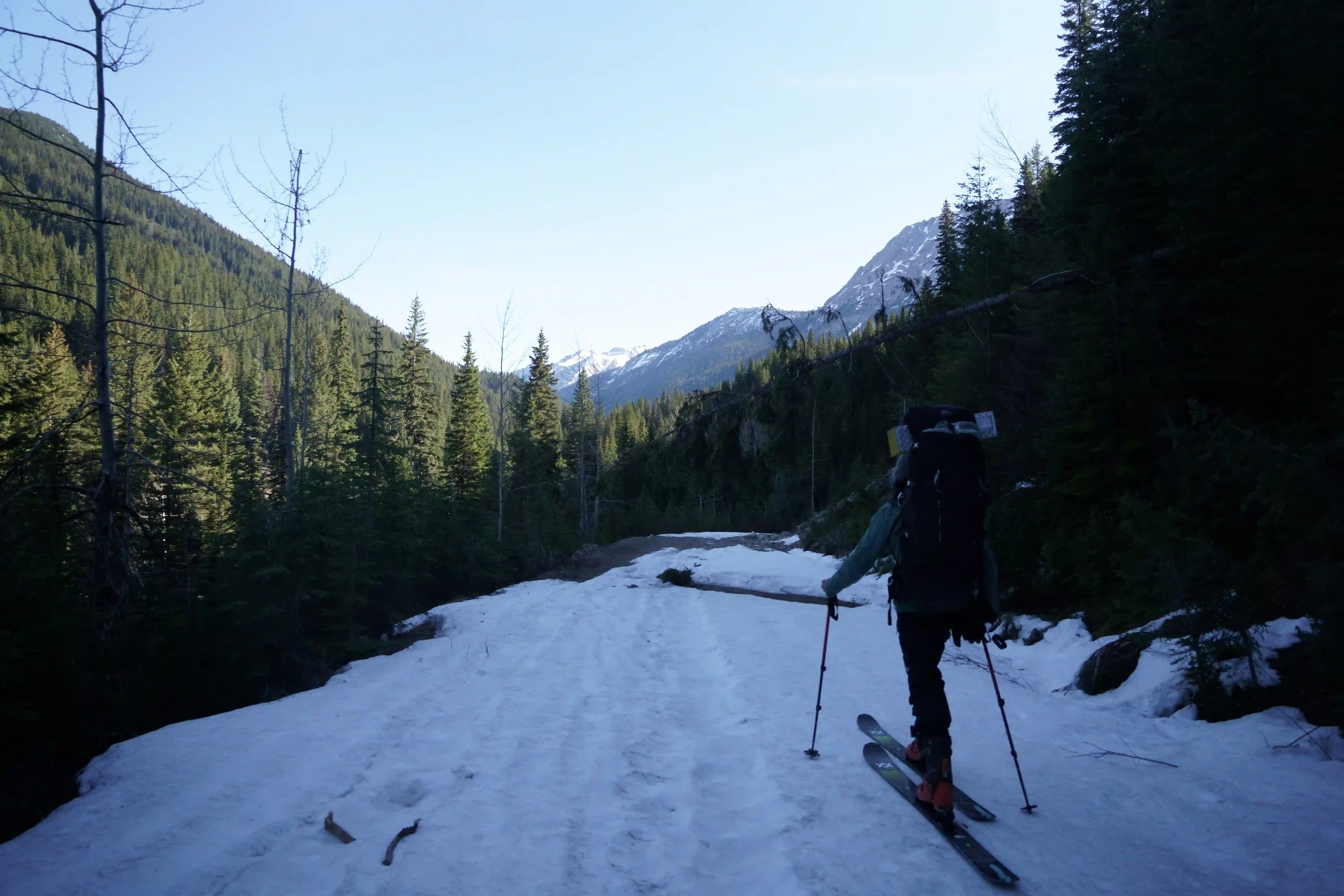
this far out

snow melt
trip as it had connection issues afterwards
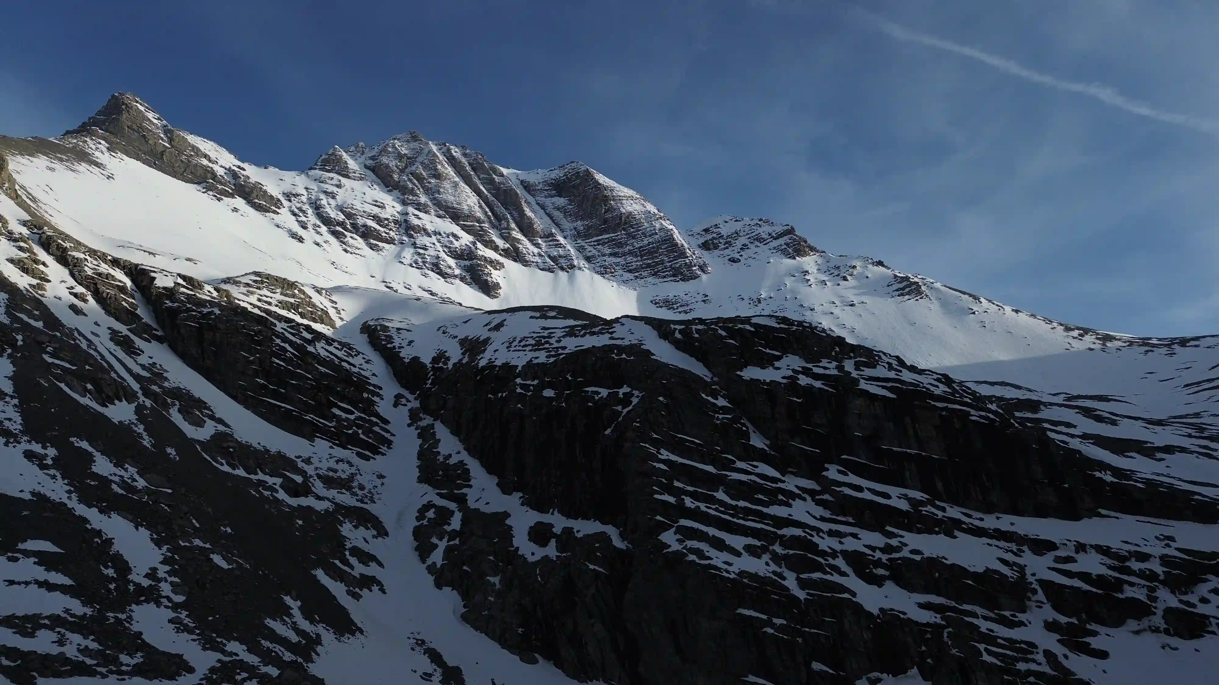
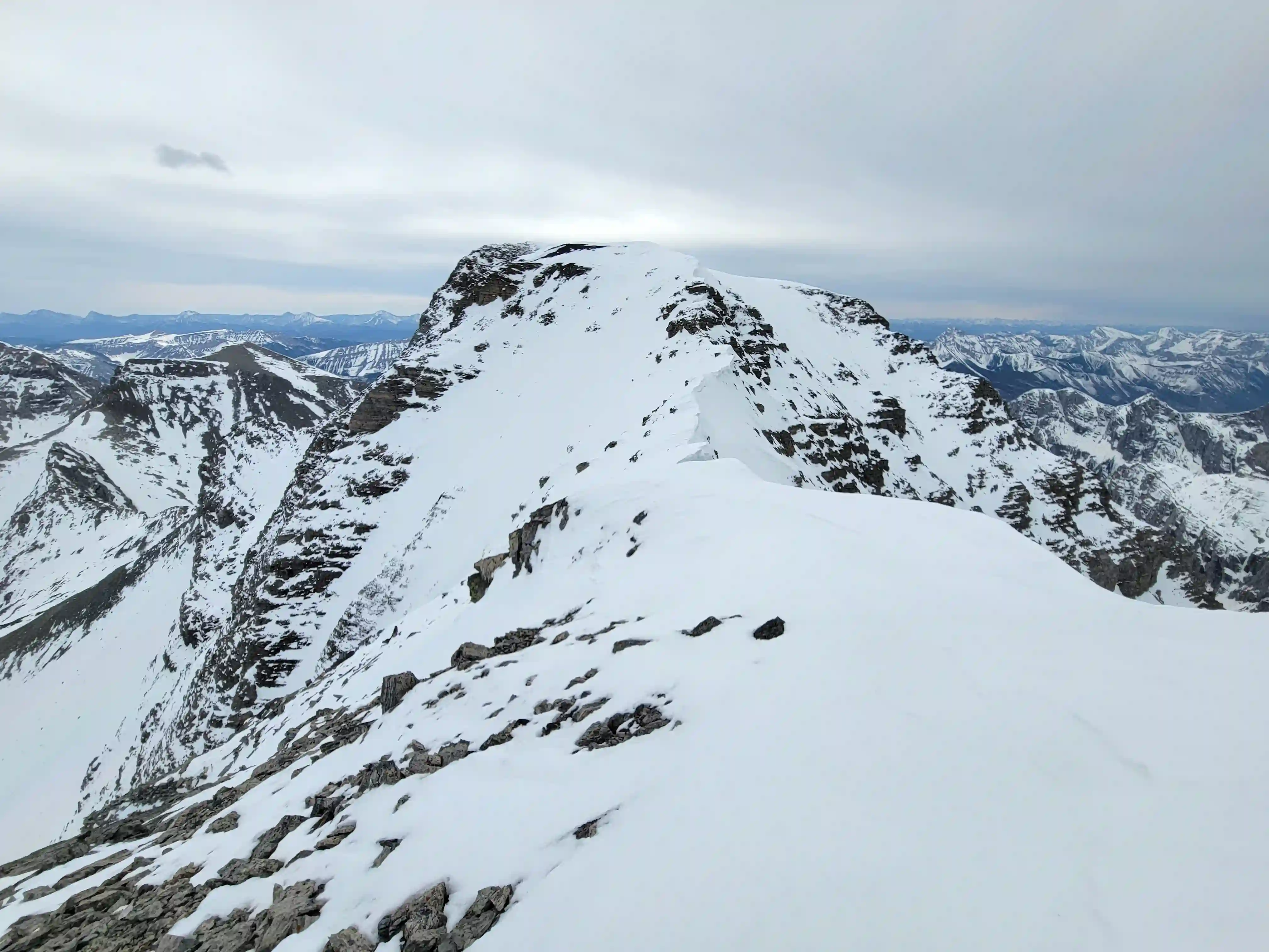
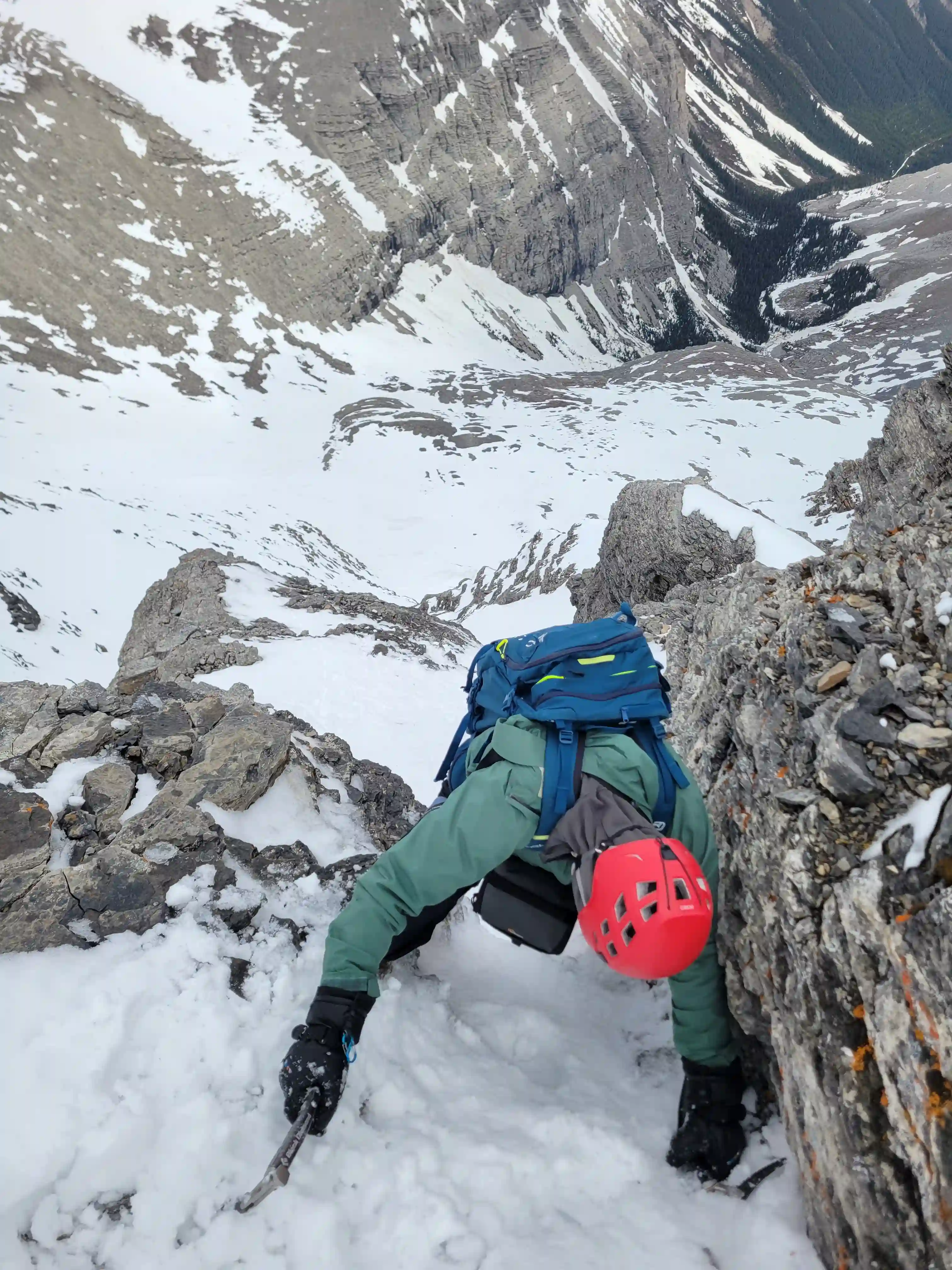
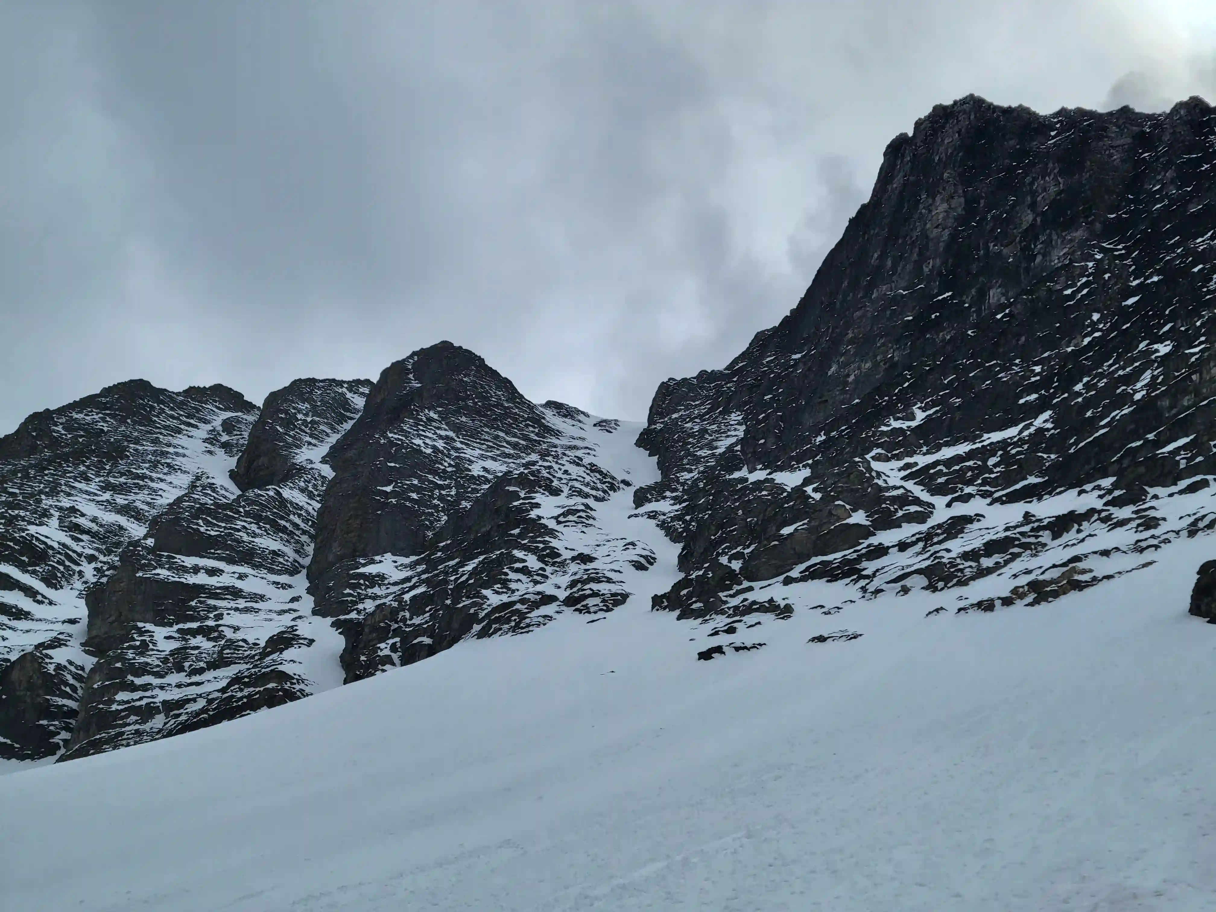
THE NORTHWEST COULOIR
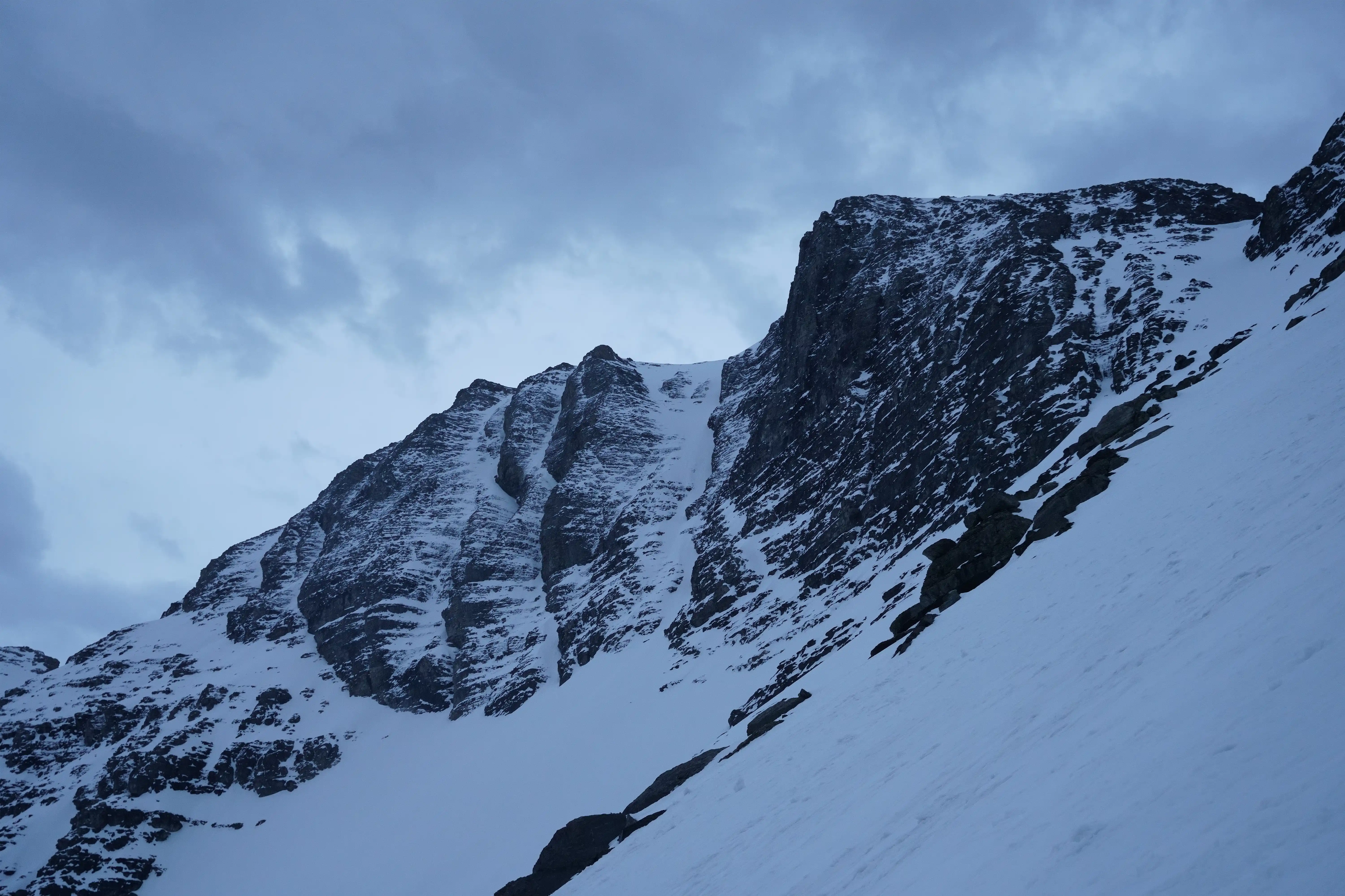
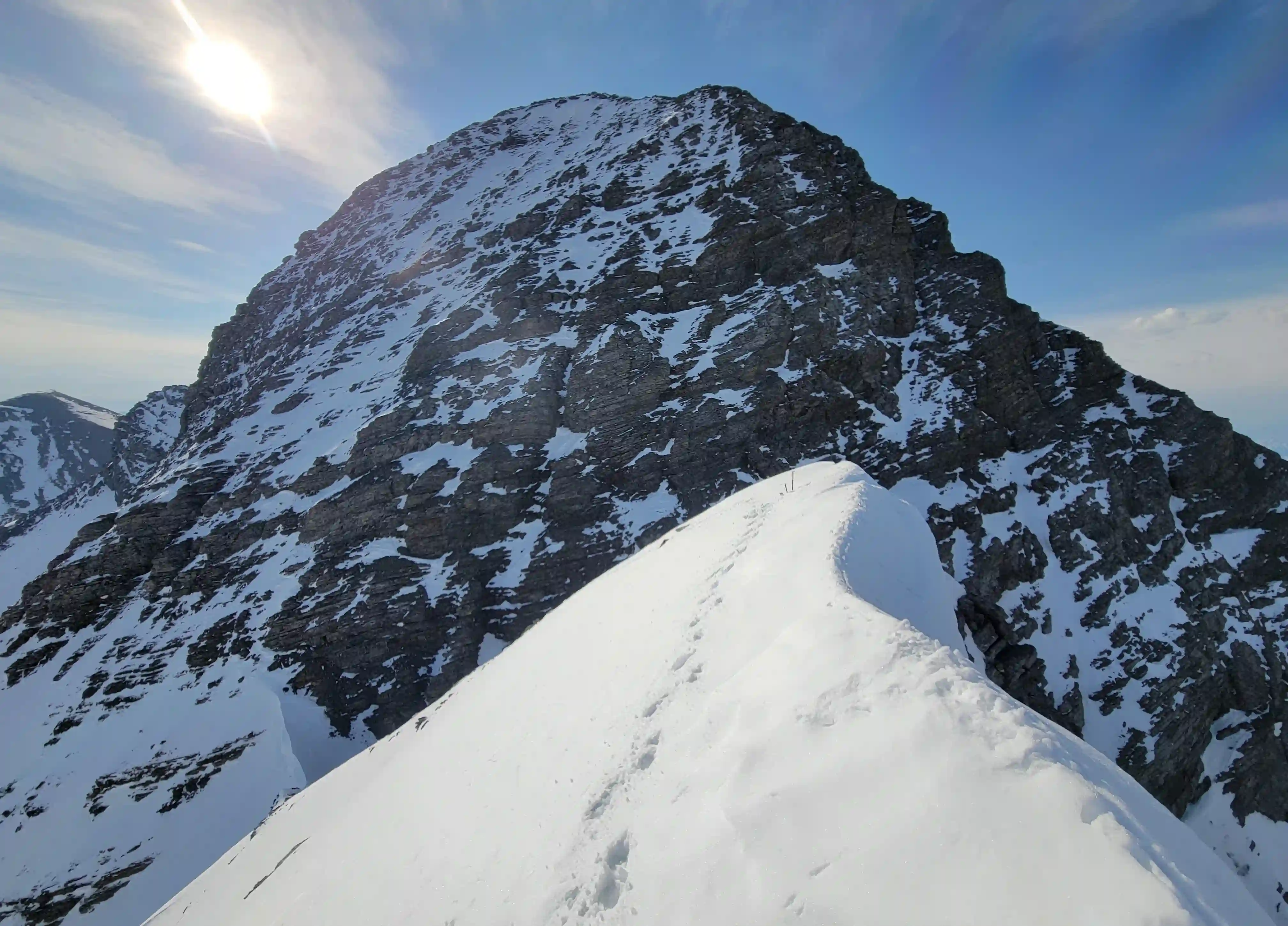
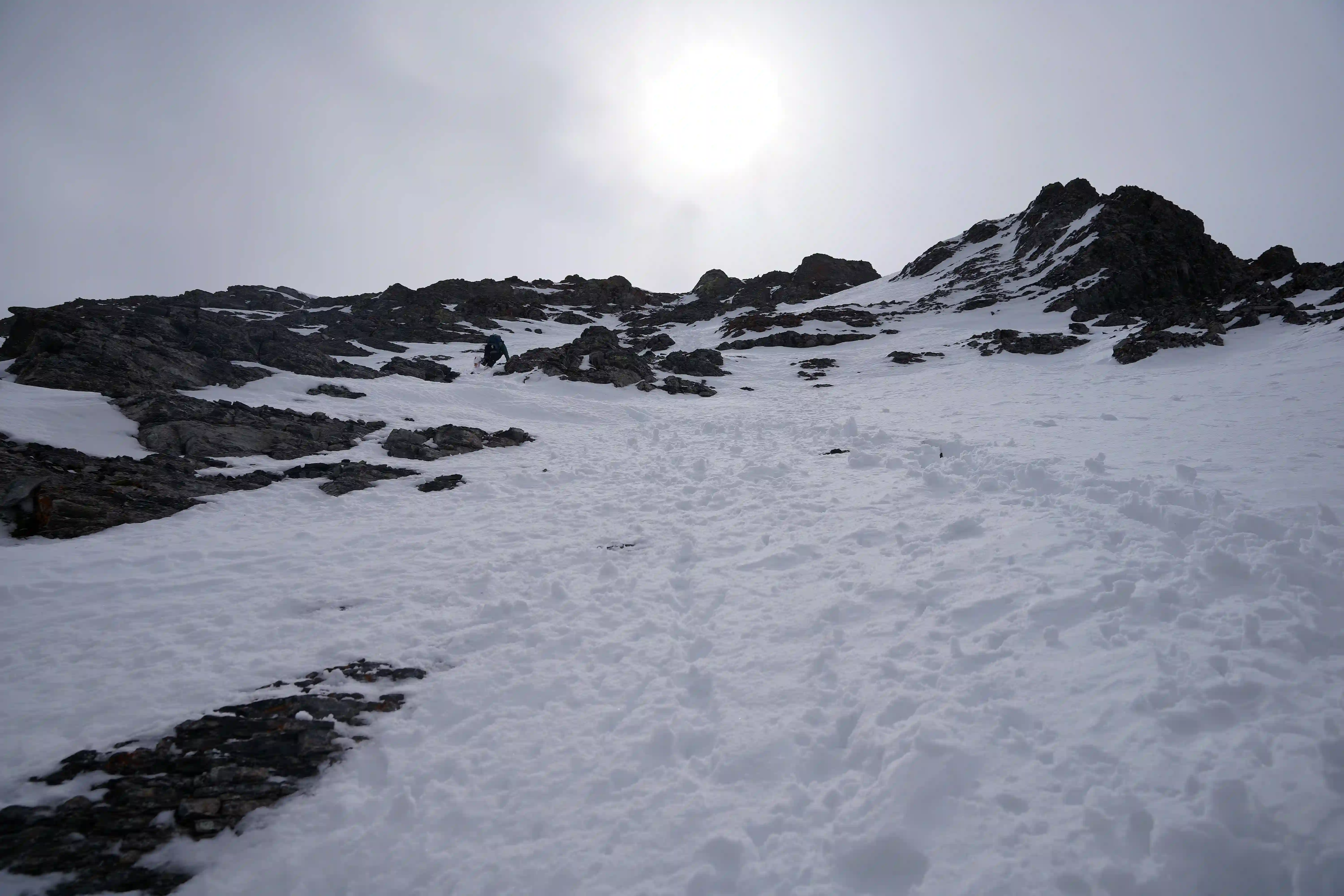
Neither Rob or I had researched the northwest couloir / ridge route up Mount Harrison, but coincidentally one of the routes up Harrison that Gaia was showing by default appeared to be a couloir just right of the main north couloir followed by the ridge above it so we figured it would go and landed on going for that as our line of choice. The next morning we were moving by around 3am to try and beat the warmer temps of the day but it was clear the weather wasn't going to be as nice as our day headed in when it started raining on us for a few minutes just after starting.
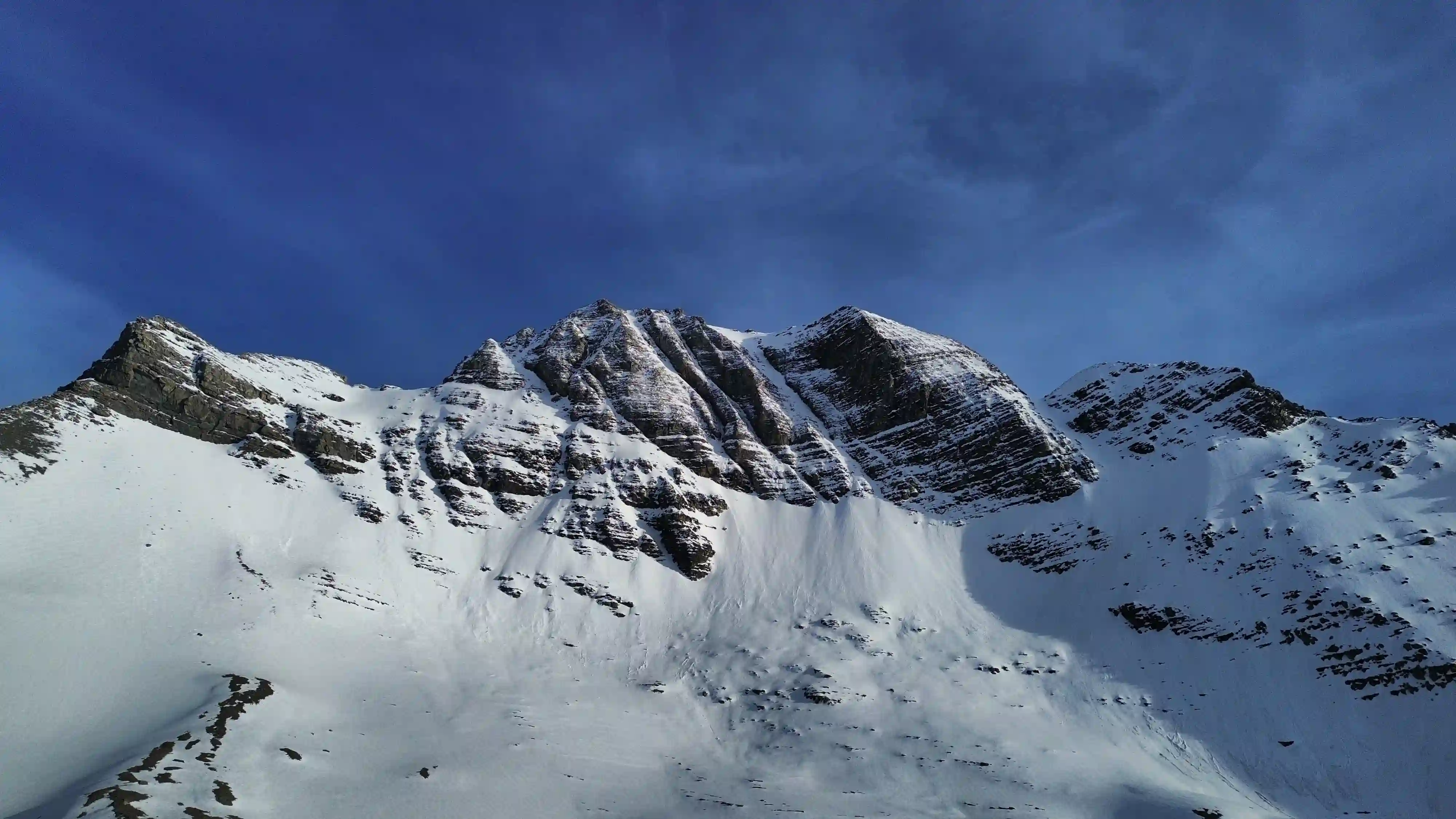
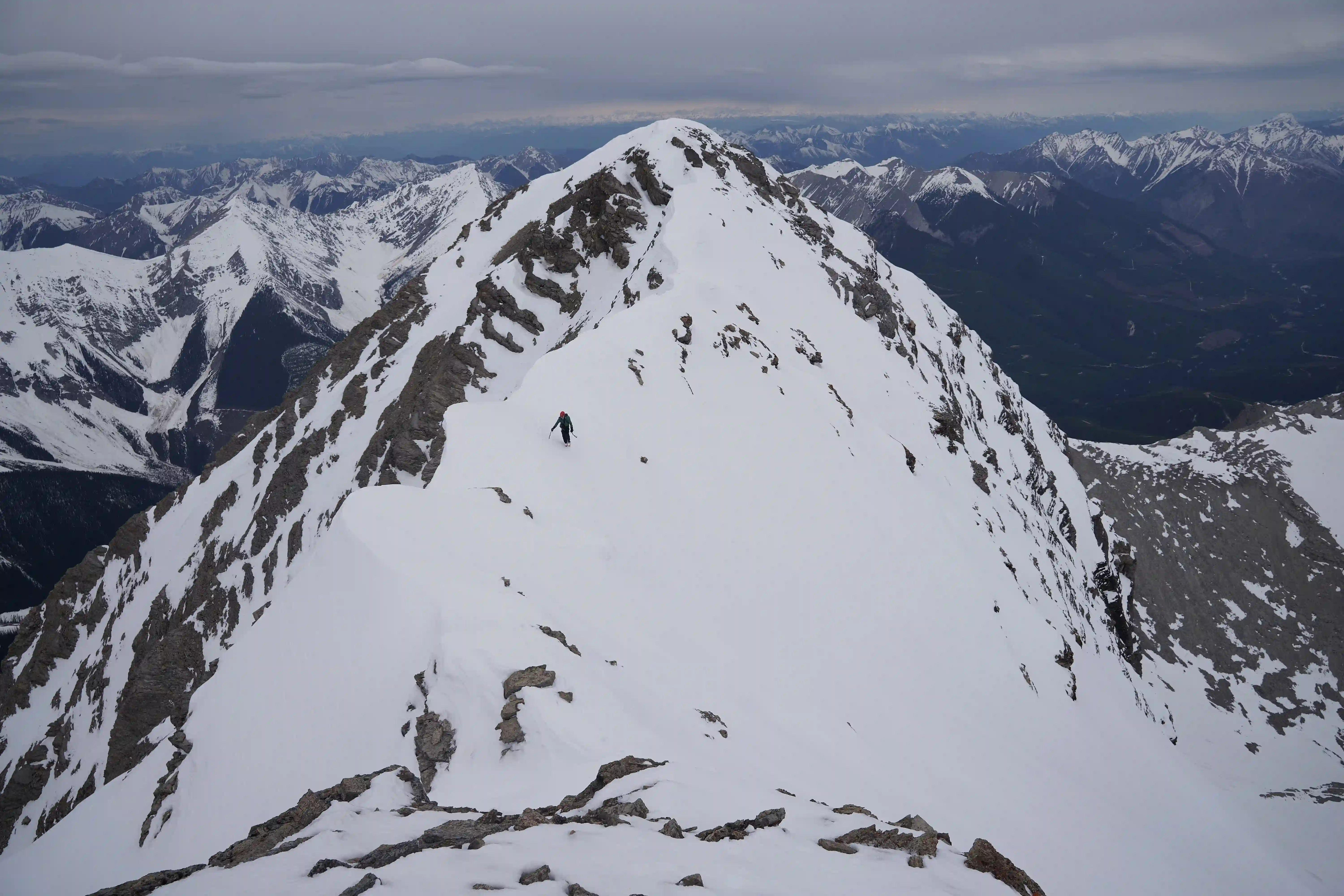
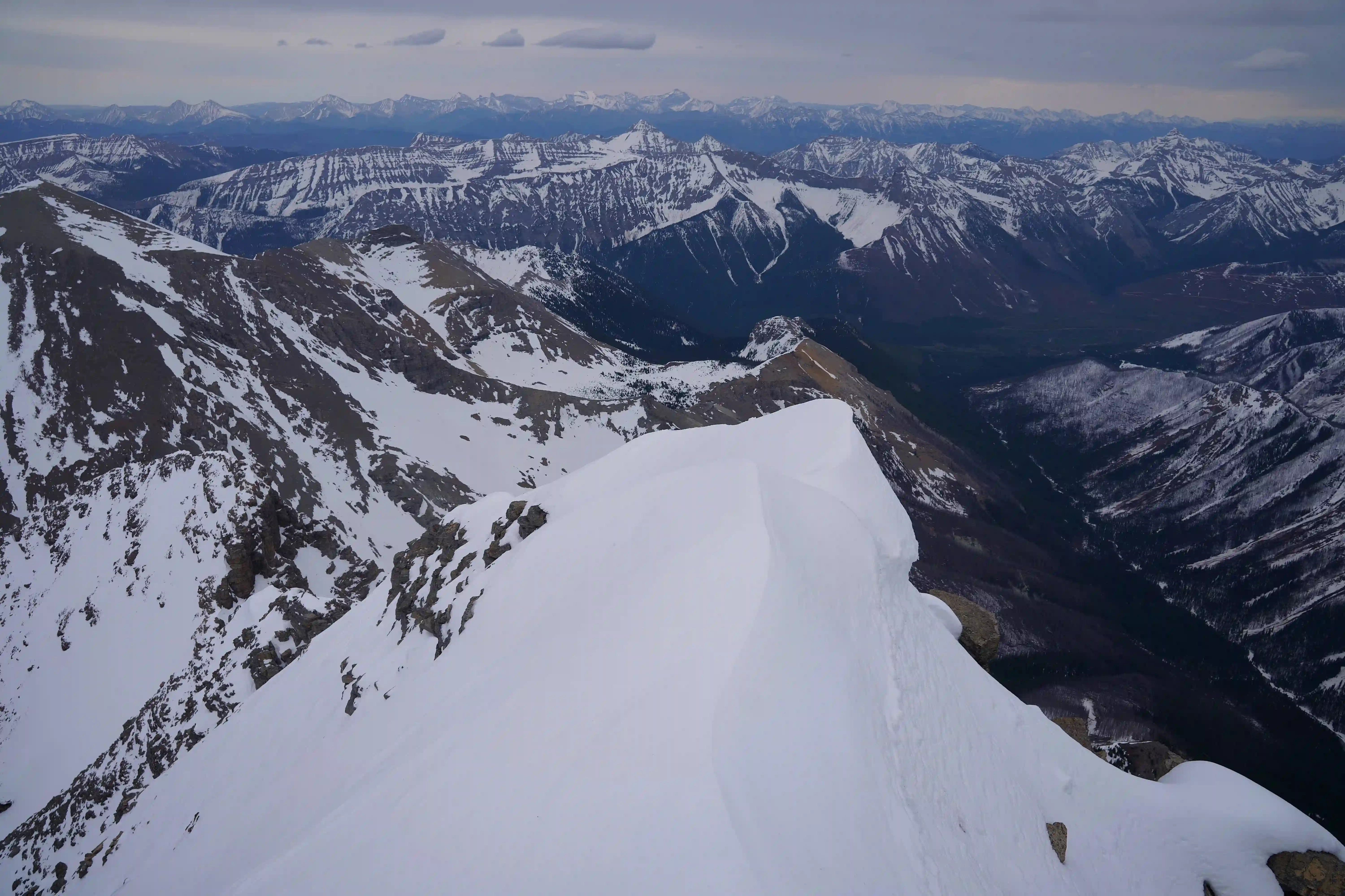
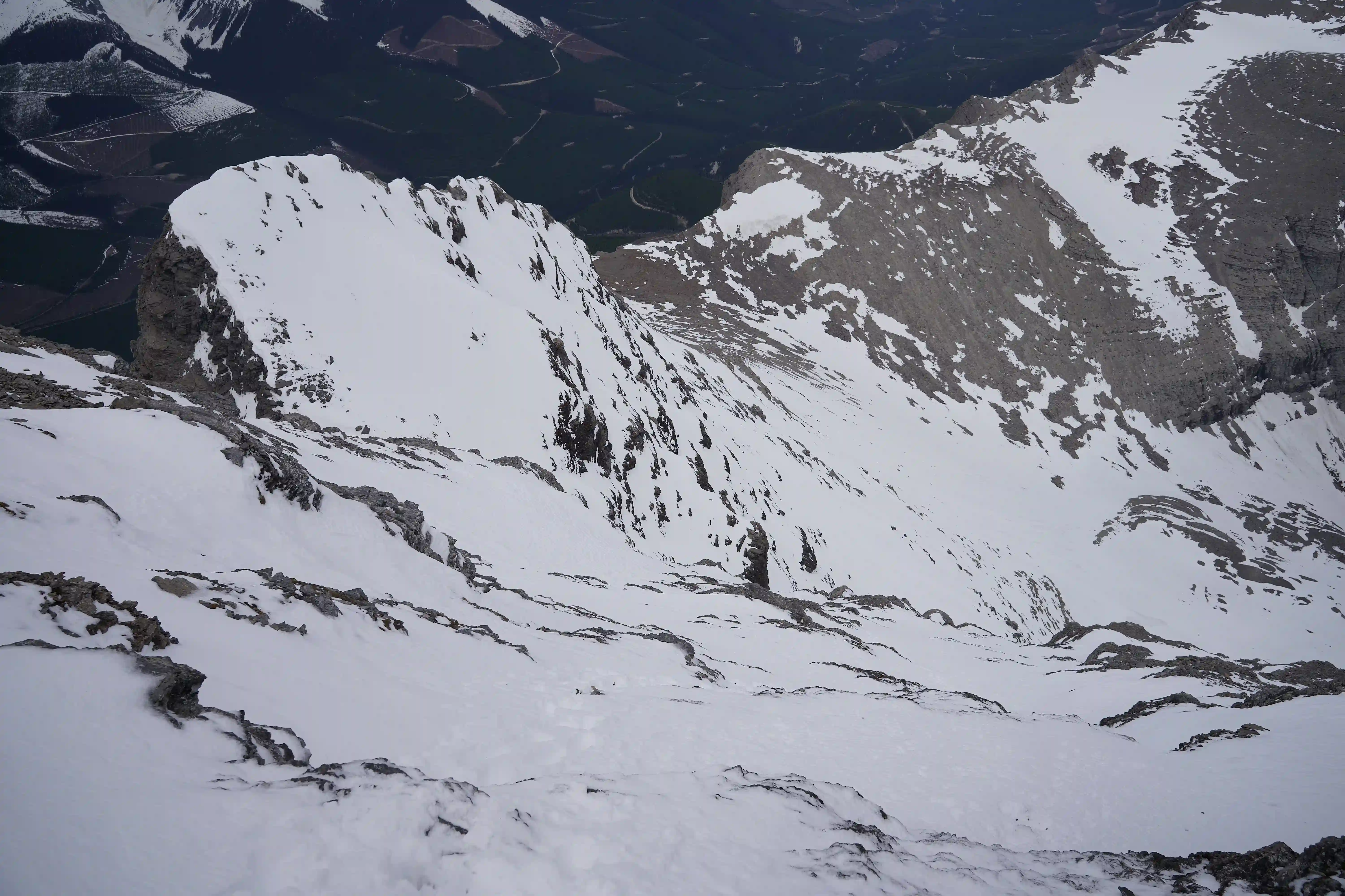
Routefinding was a bit tricky in the dark but thanks to having a GPX track we were able to find our way to the upper alpine slopes below the north and northwest couloir and once things got steep enough we switched from the skins to crampons and started the boot up. The slope wasn't all that steep, topping out at around 35-38° but it was hard work getting up with conditions being decently unconsolidated and sinking knee deep quite often. Our line started a bit climbers right of the actual couloir we were aiming for so we angled left as we climbed for a while and by the time we reach the final portion I made sure to set the track on the far right side as there was a sizable cornice looming above that you wouldn't want to be in the way of if it came tumbling down the line.
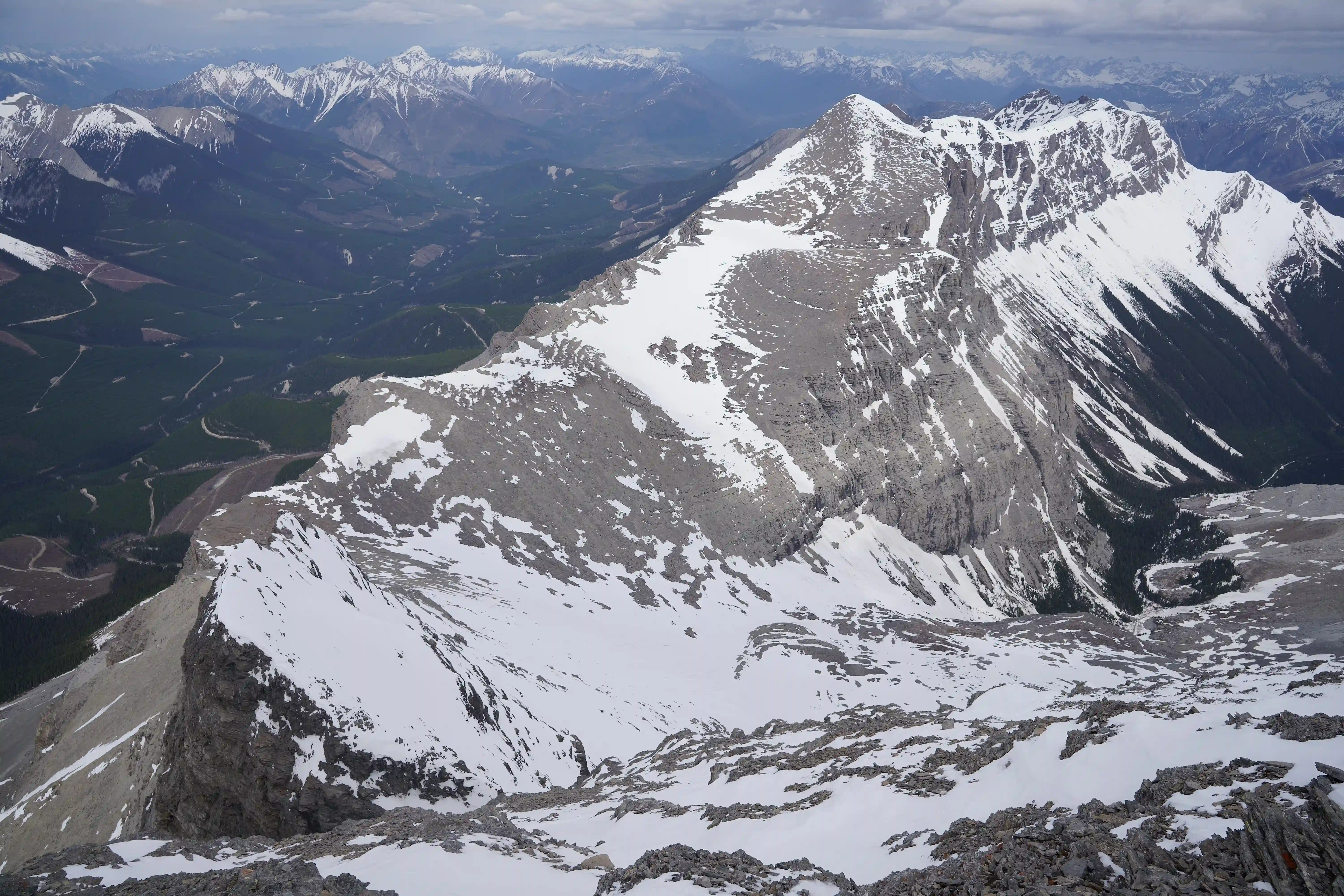
After topping out and waiting for Rob to catch up I decided to climb the subpeak climber's right of the line to get some views of the upper NW ridge route we'd be taking as well as the surrounding area and the view from above made it clear that the crux of the upper section of our route would be immediately following the corniced col we had reached so I wasn't worried whether it would go or not. After making my way back down we ditched our ski gear and started up the more techy part of our ascent!
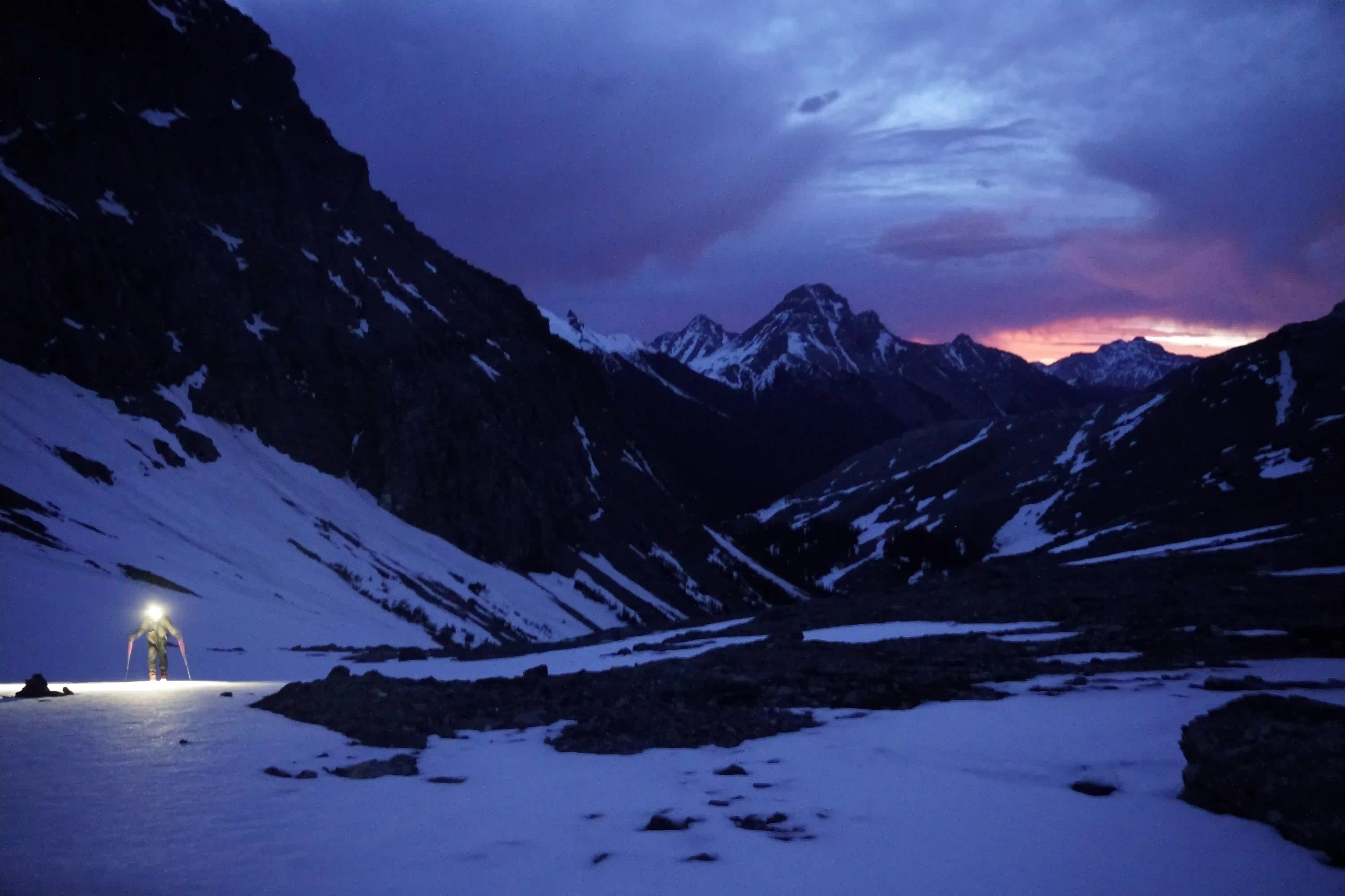
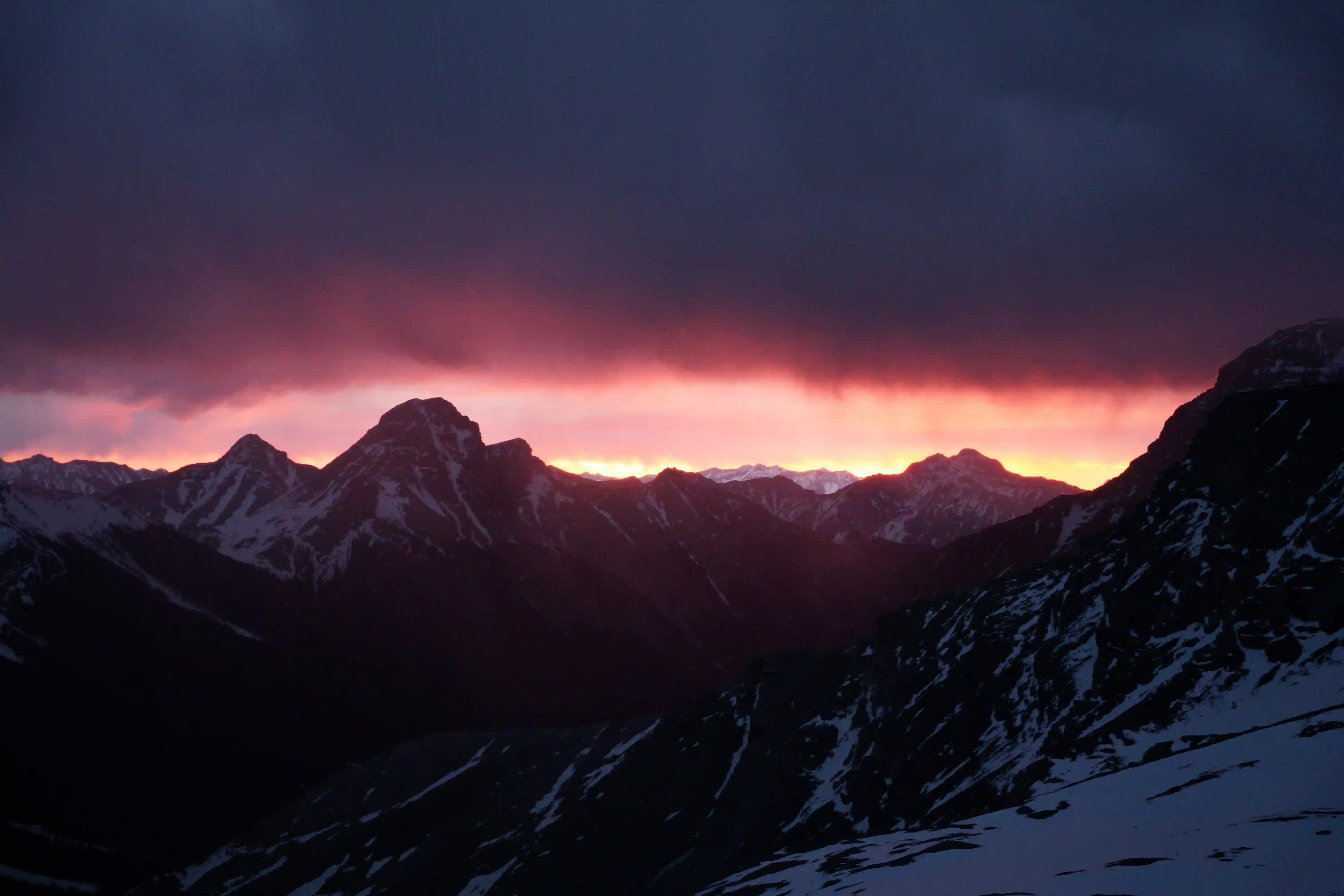
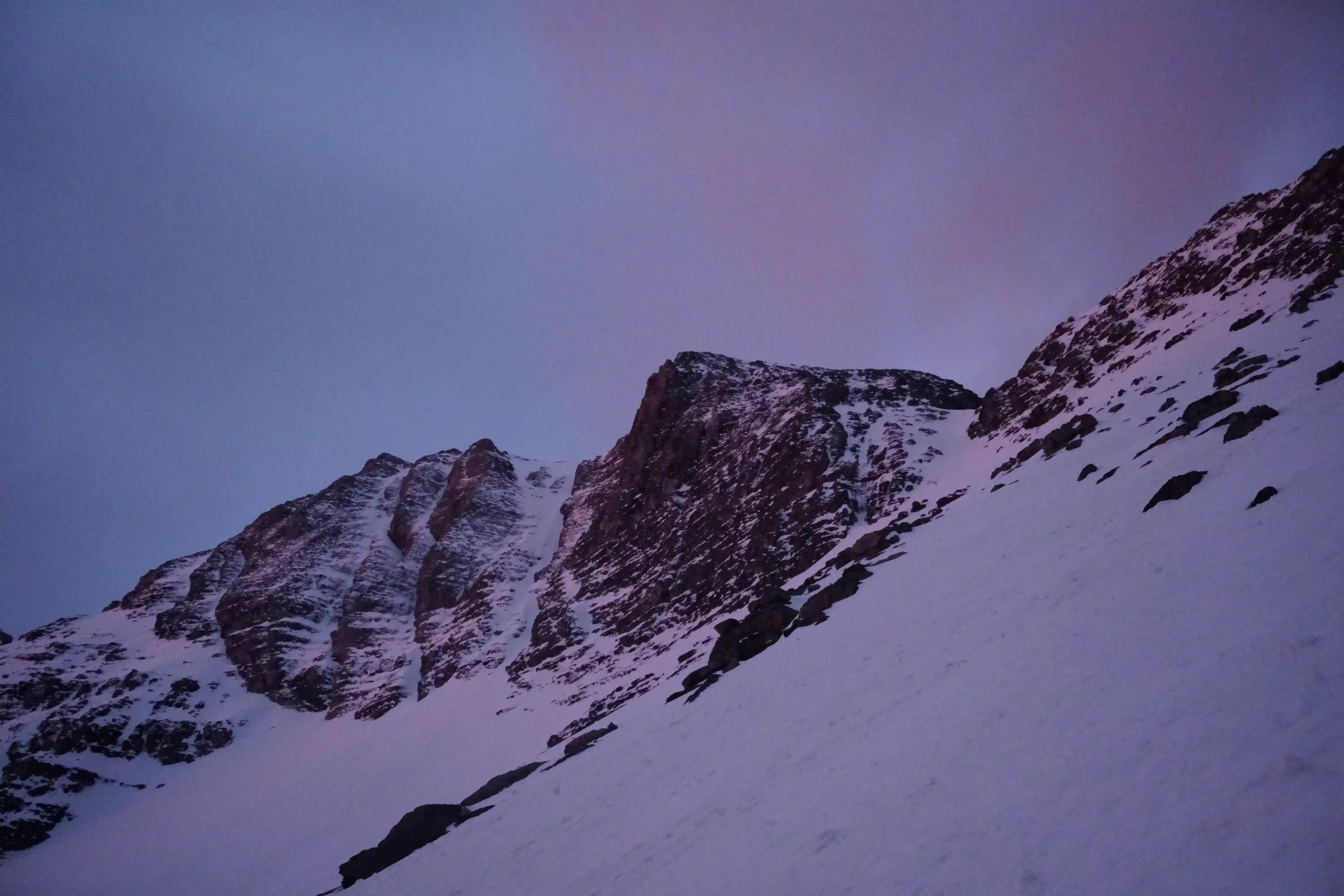

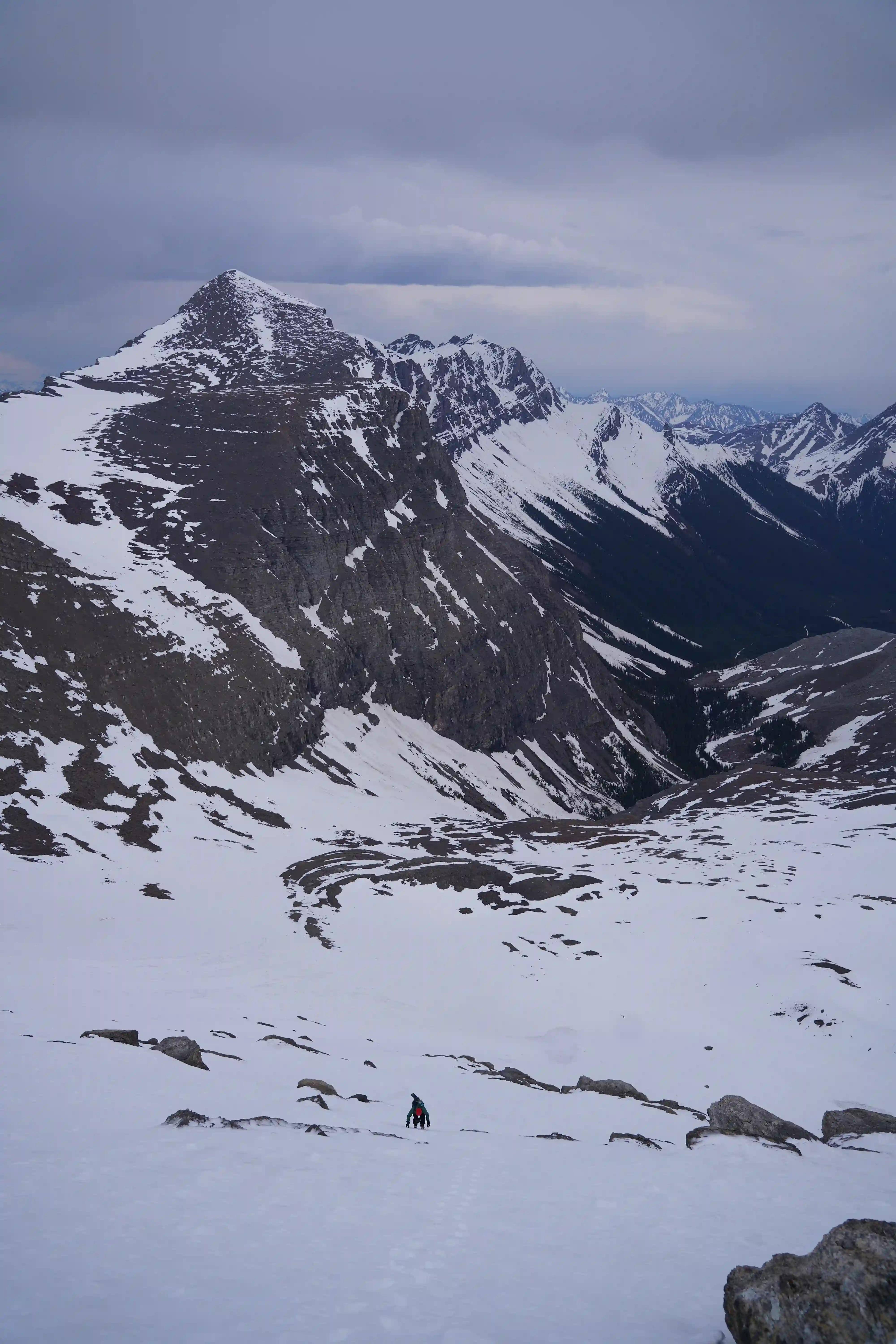
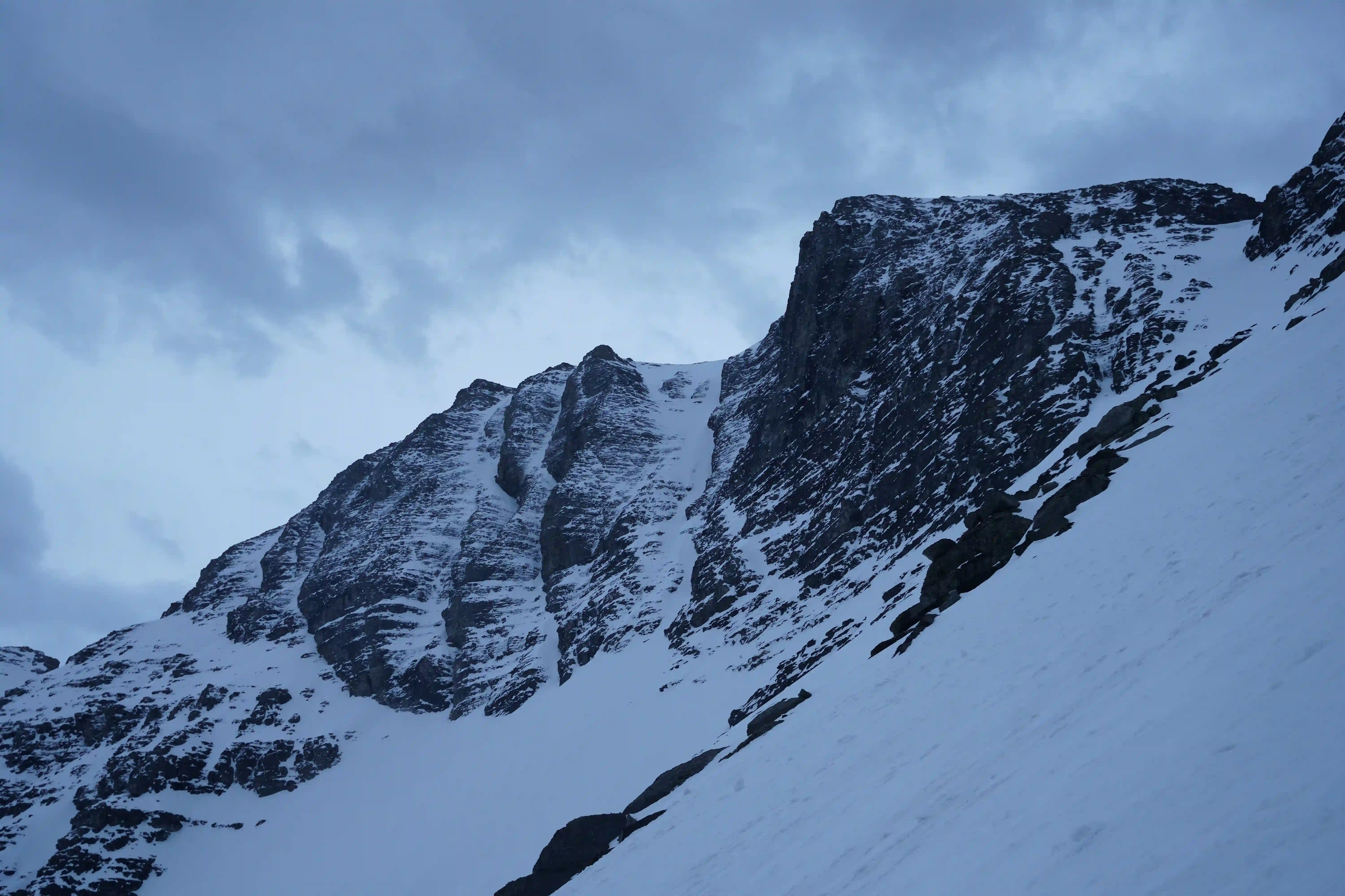
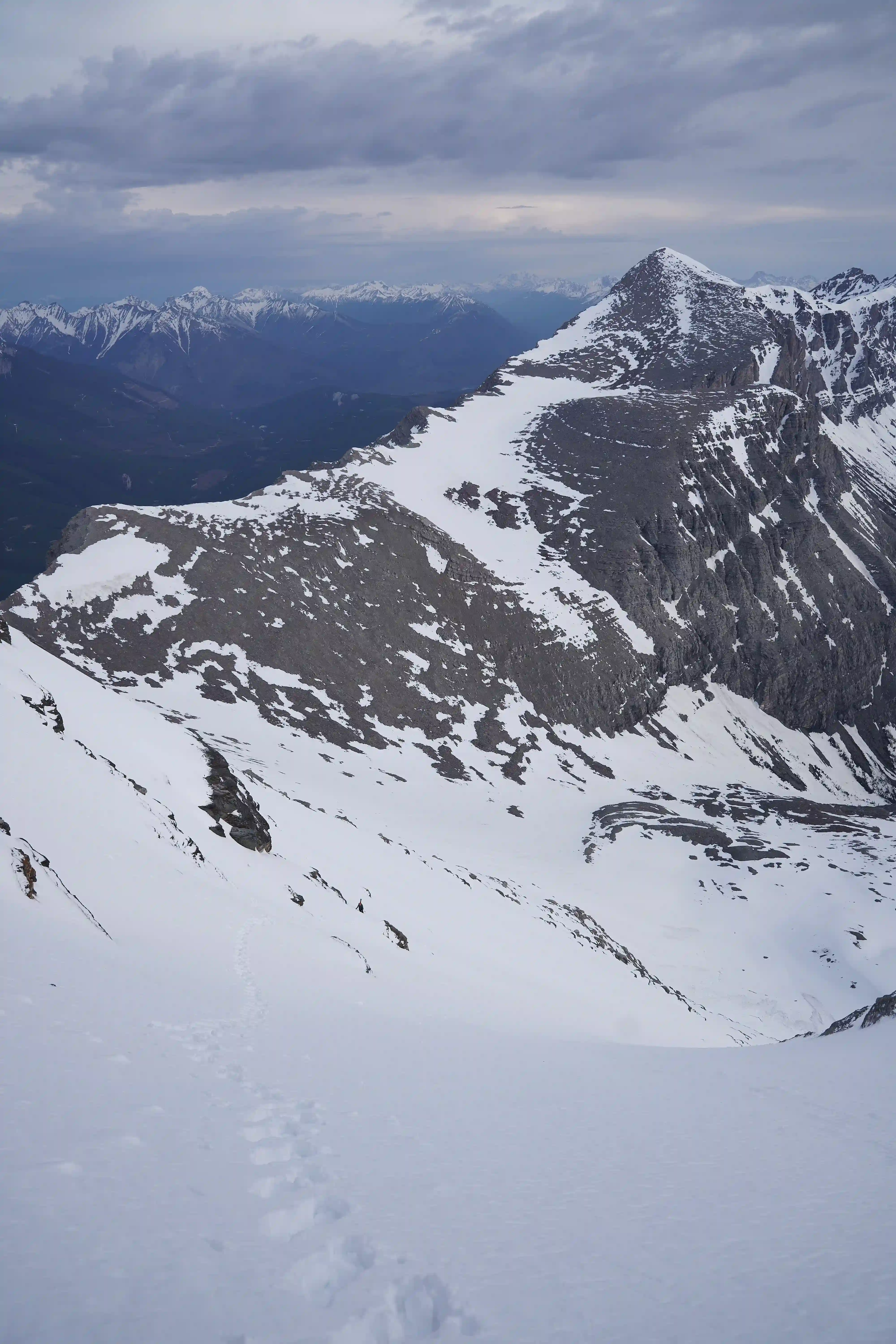
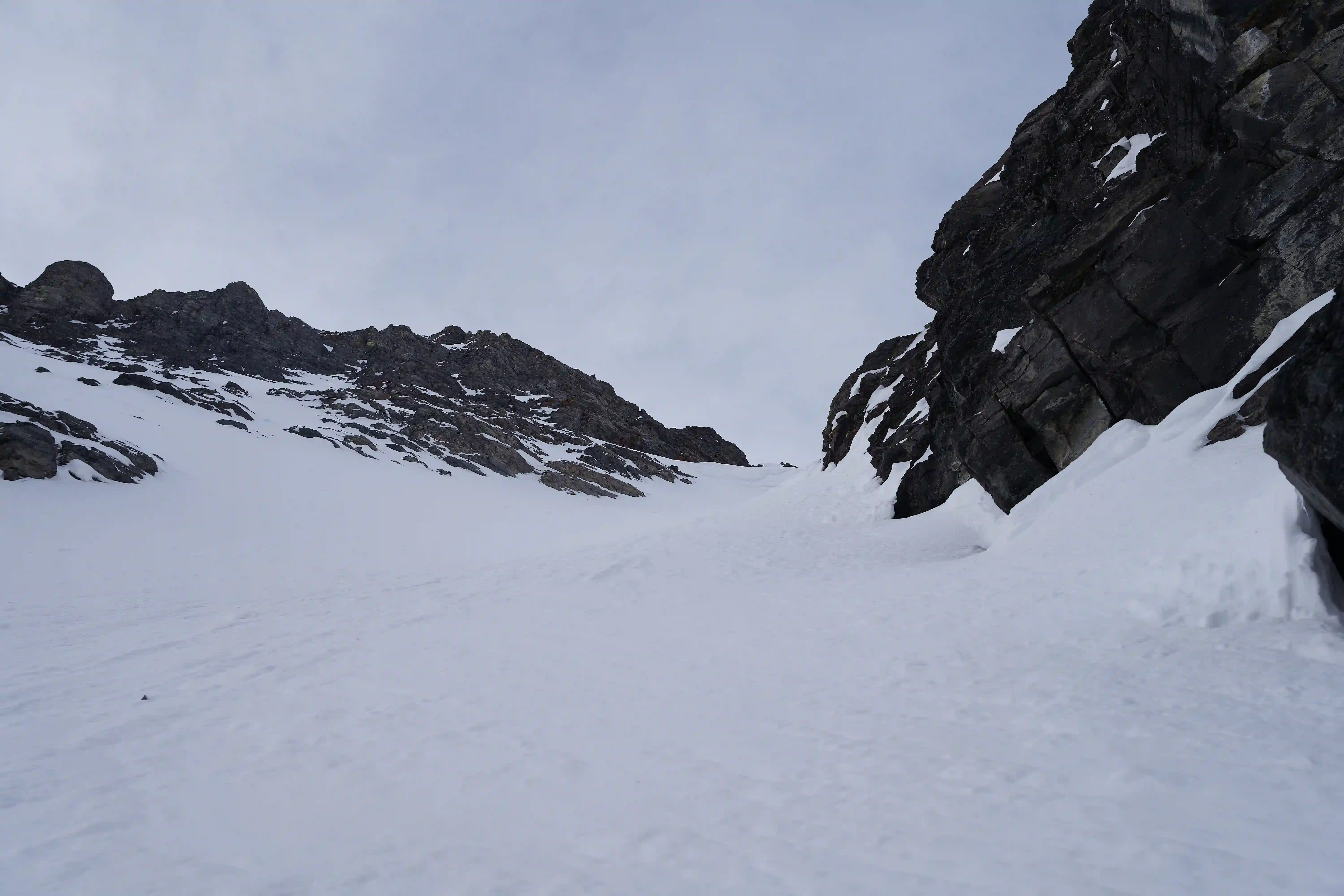
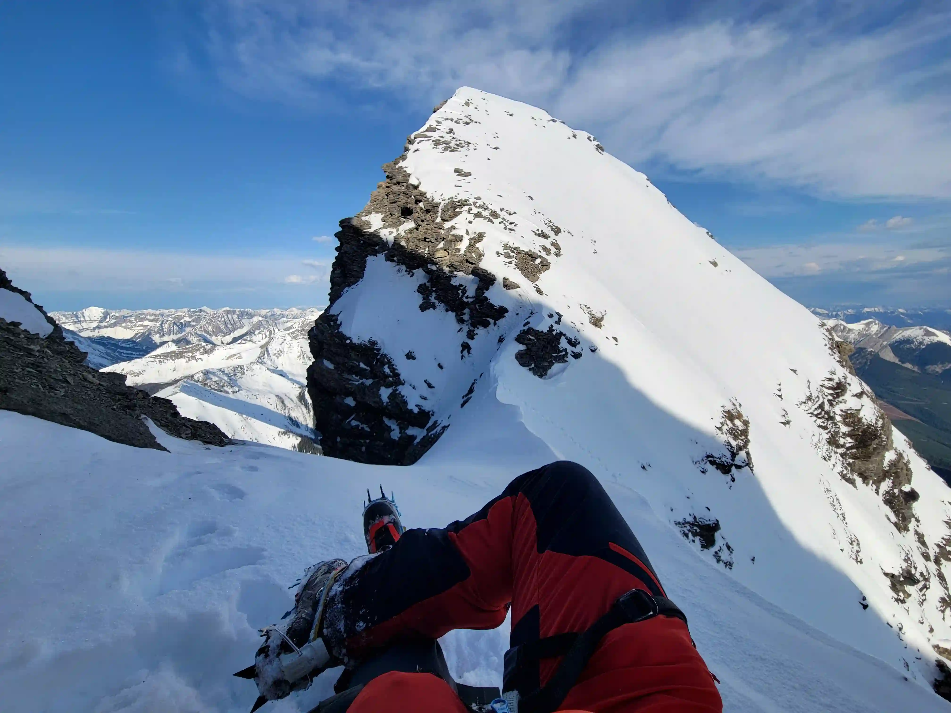
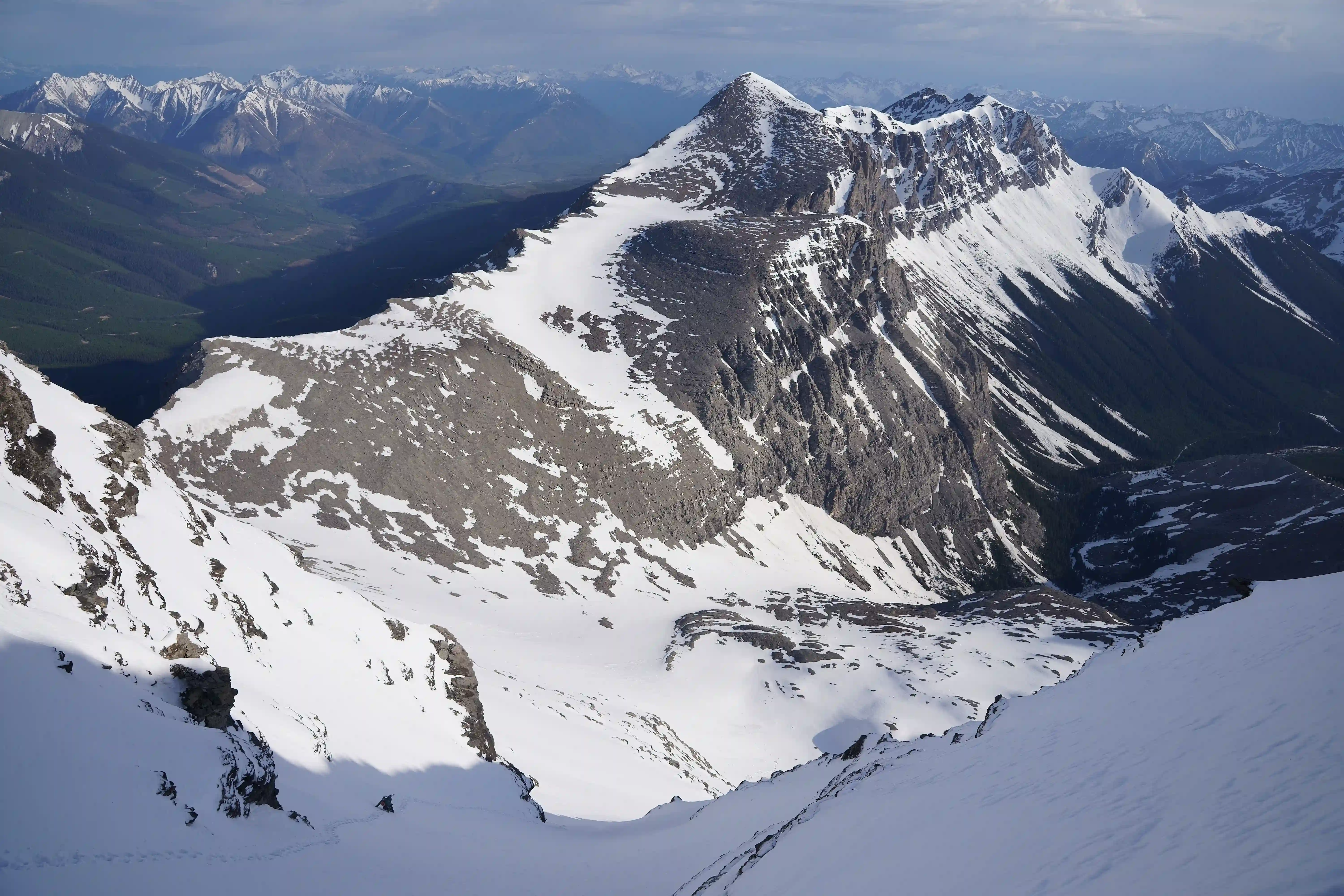
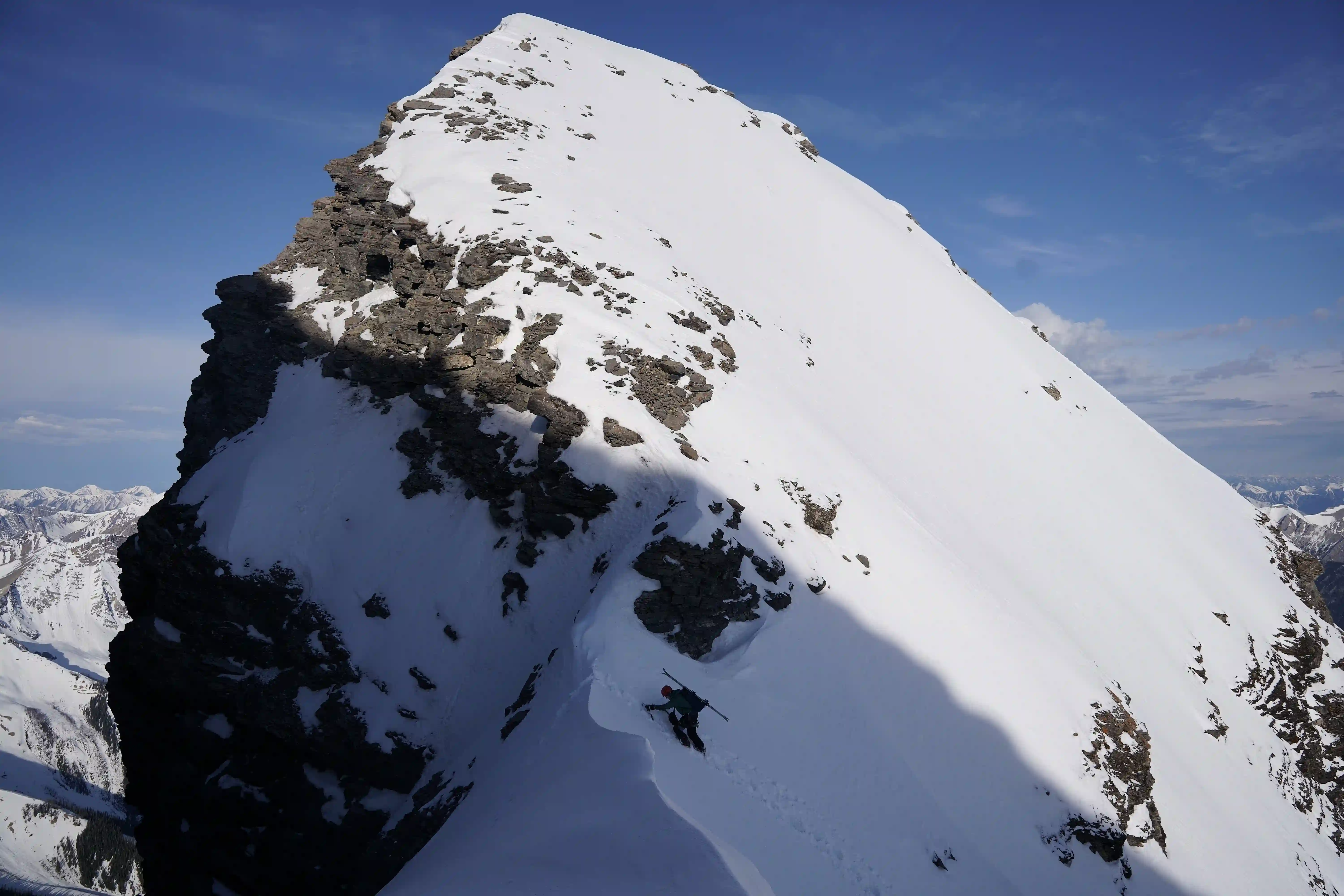
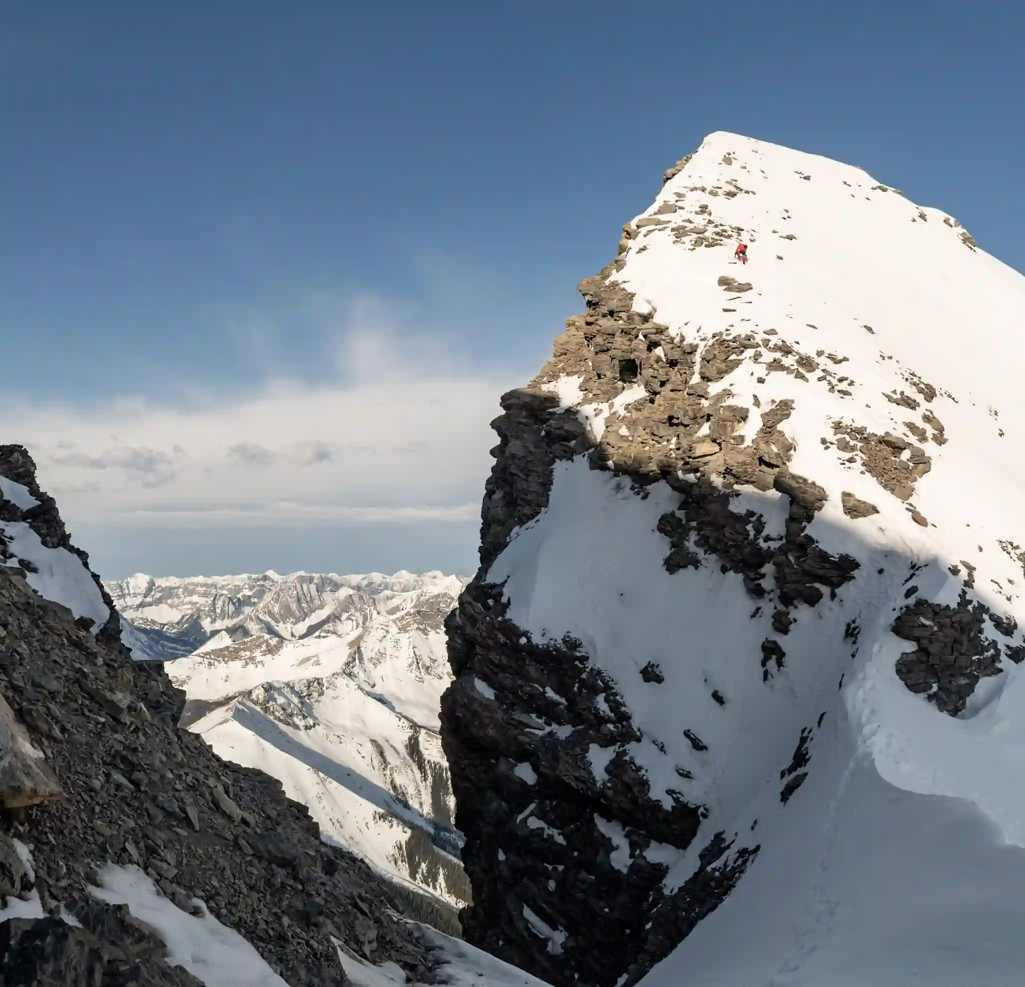
photo by Rob Walker
band at left
Into trips like this?
I'll send you an email whenever I publish a new trip report.
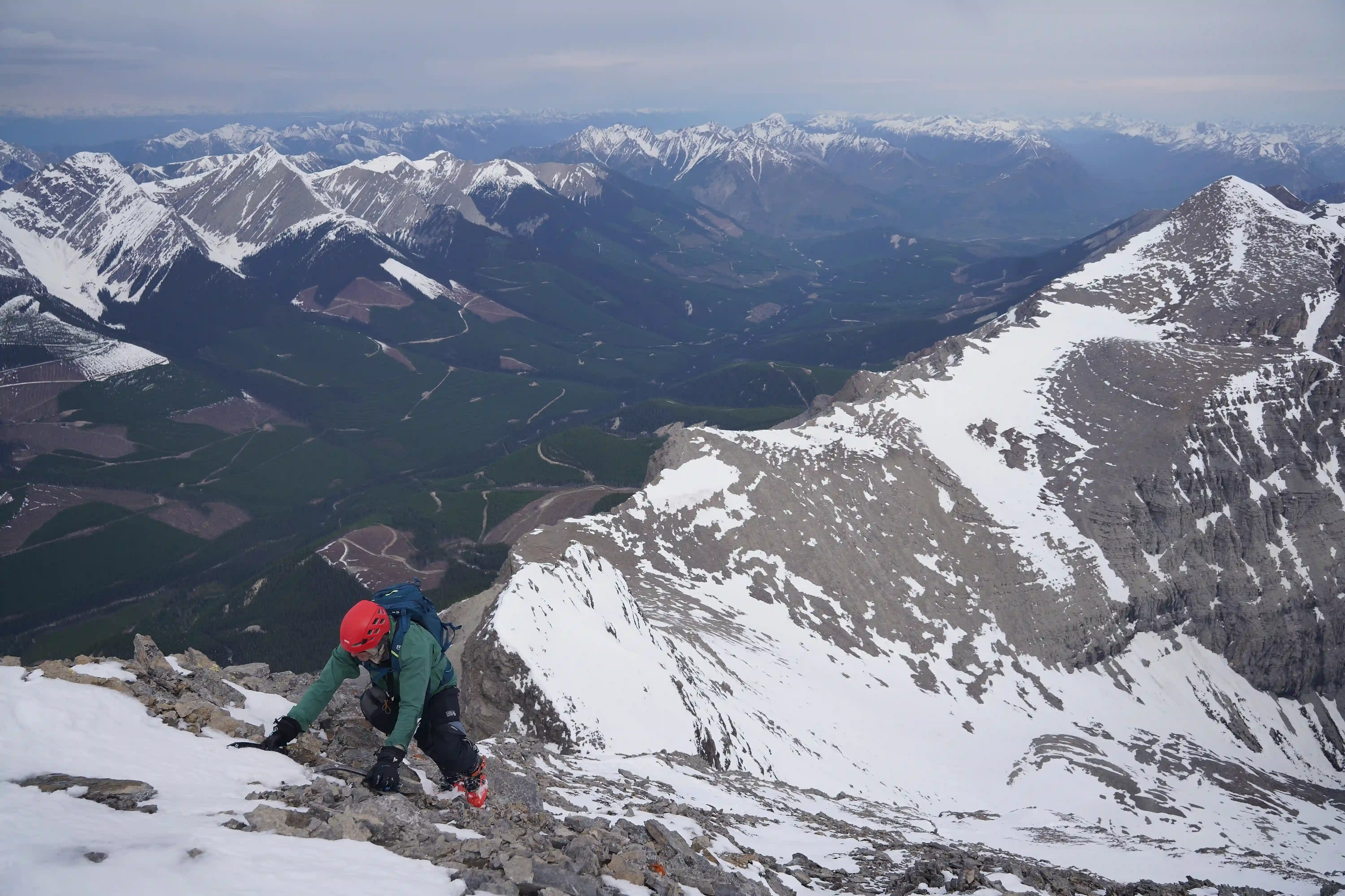
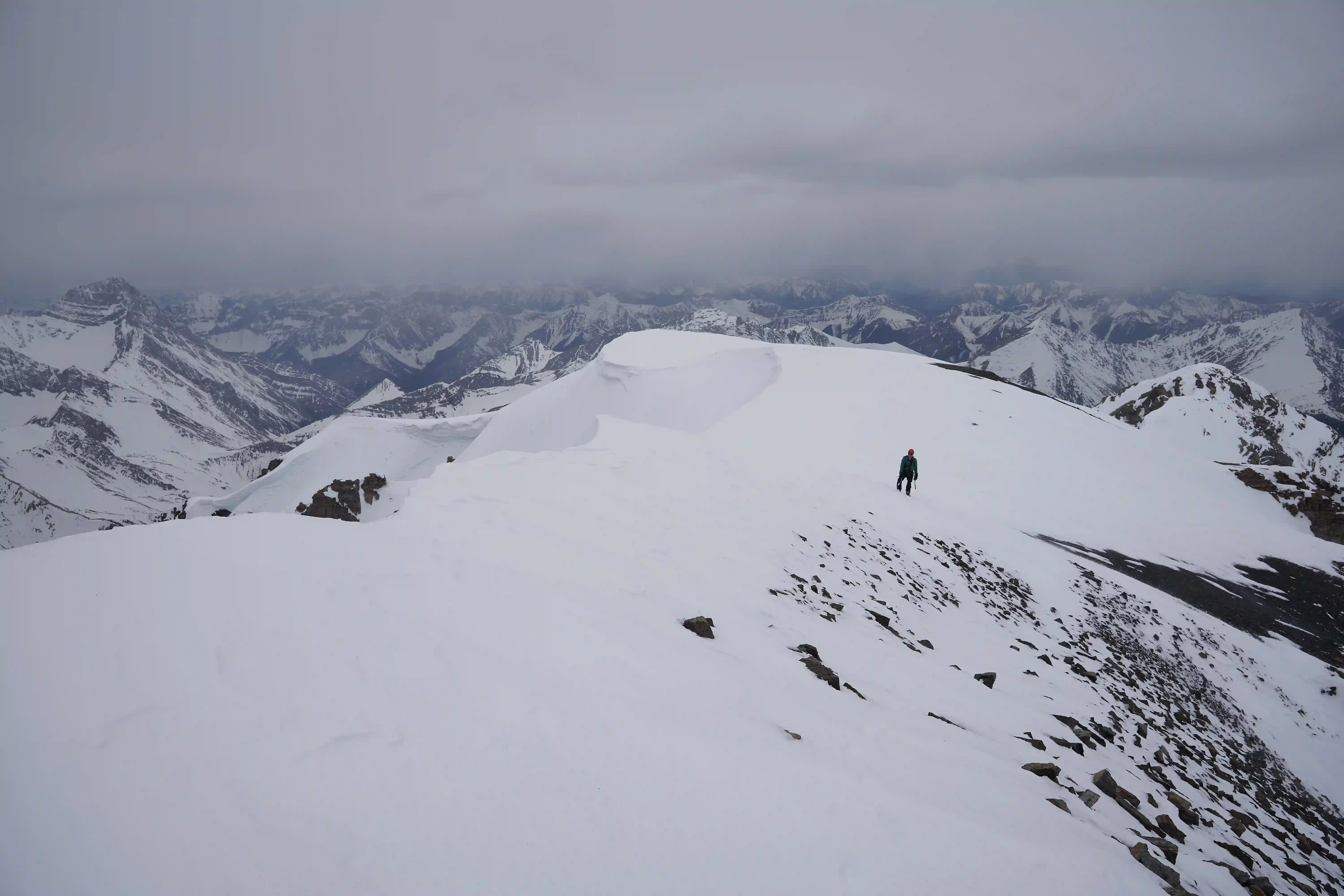
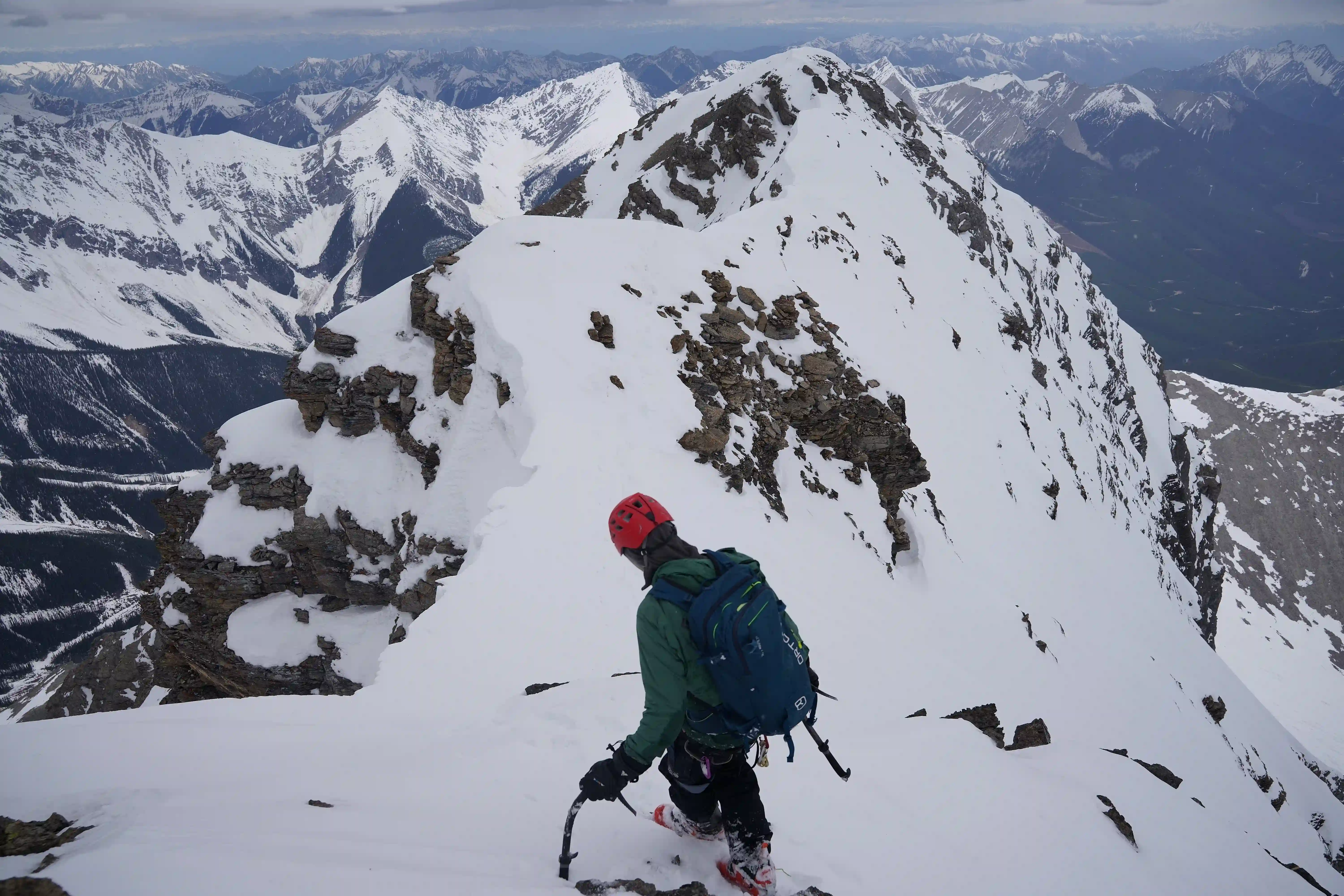
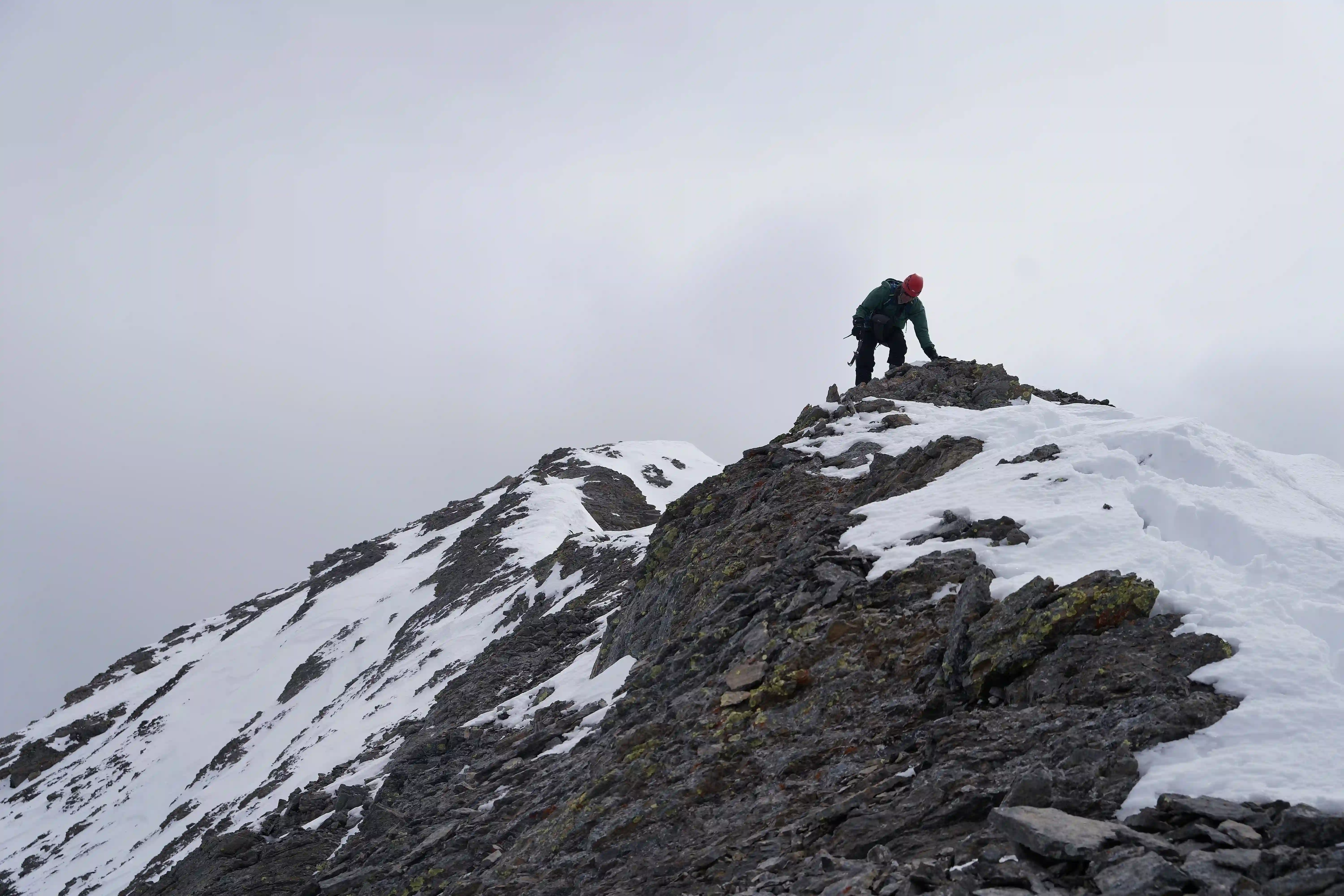
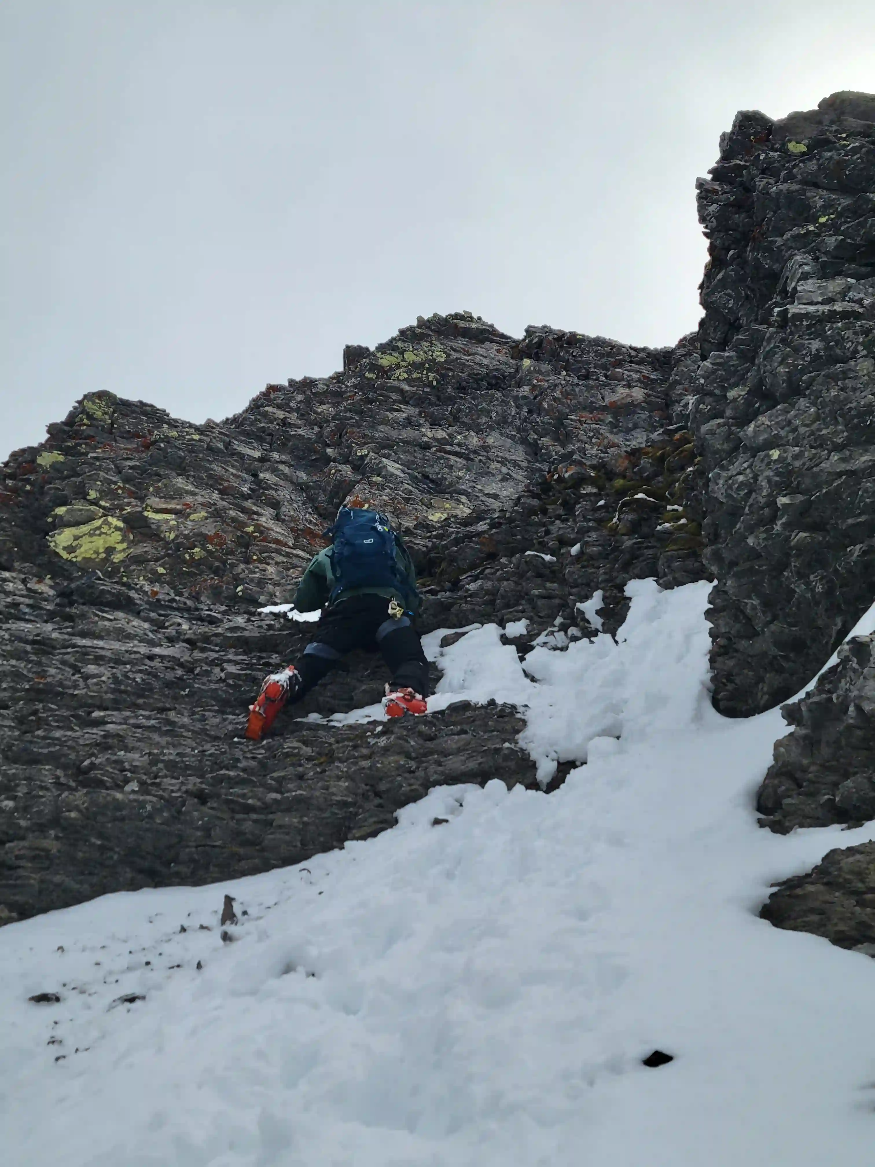
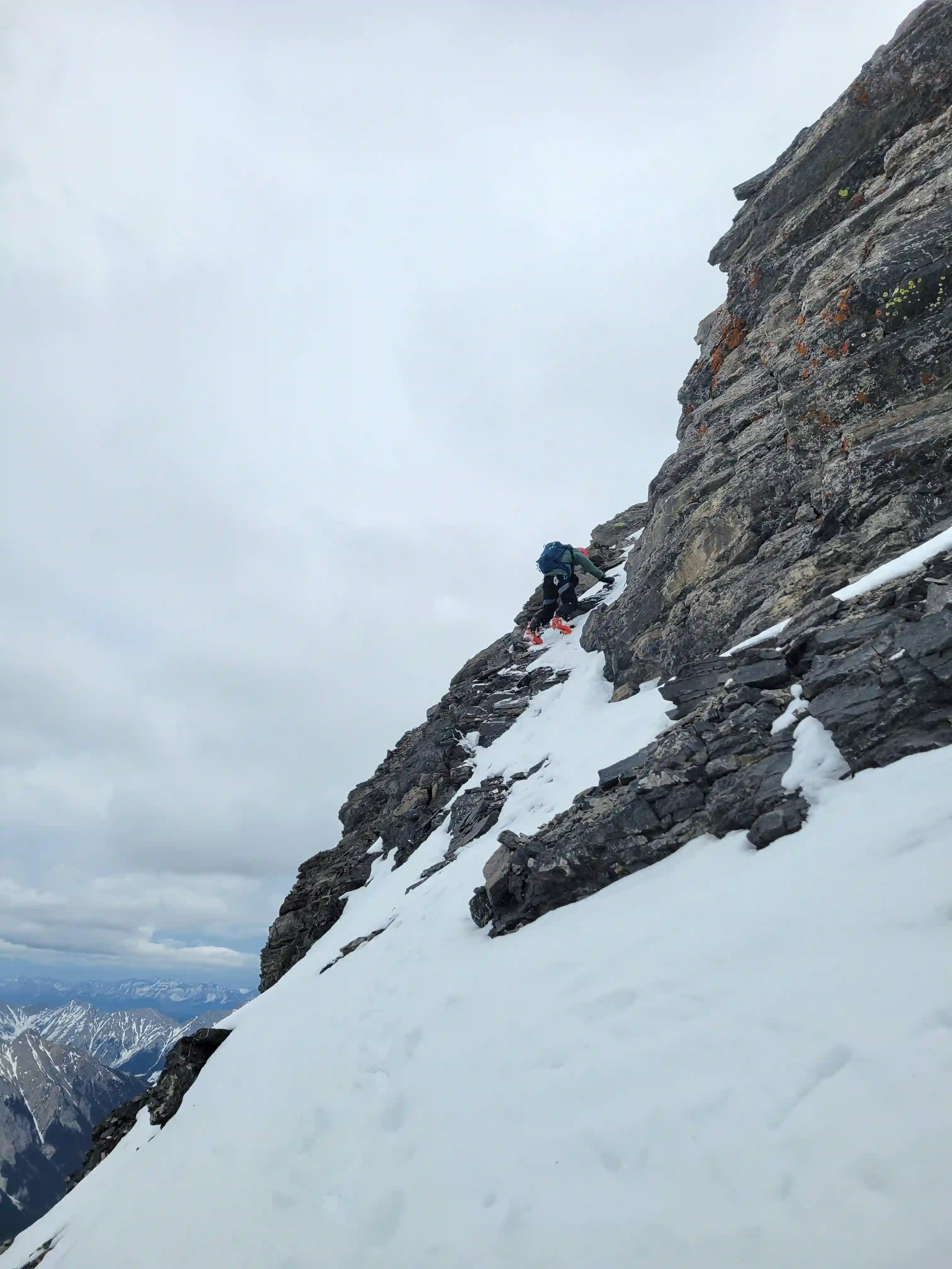
THE NORTHWEST RIDGE
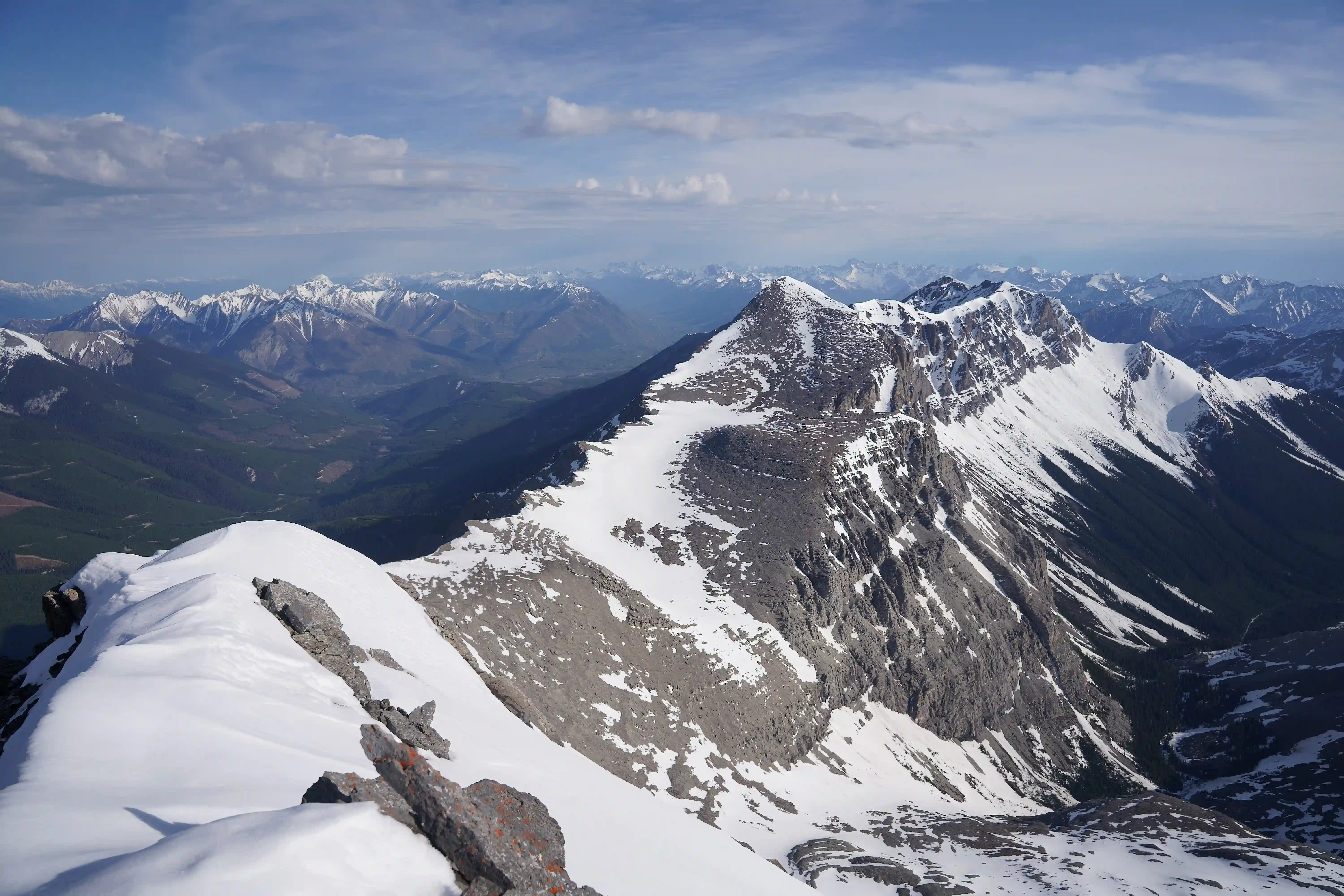
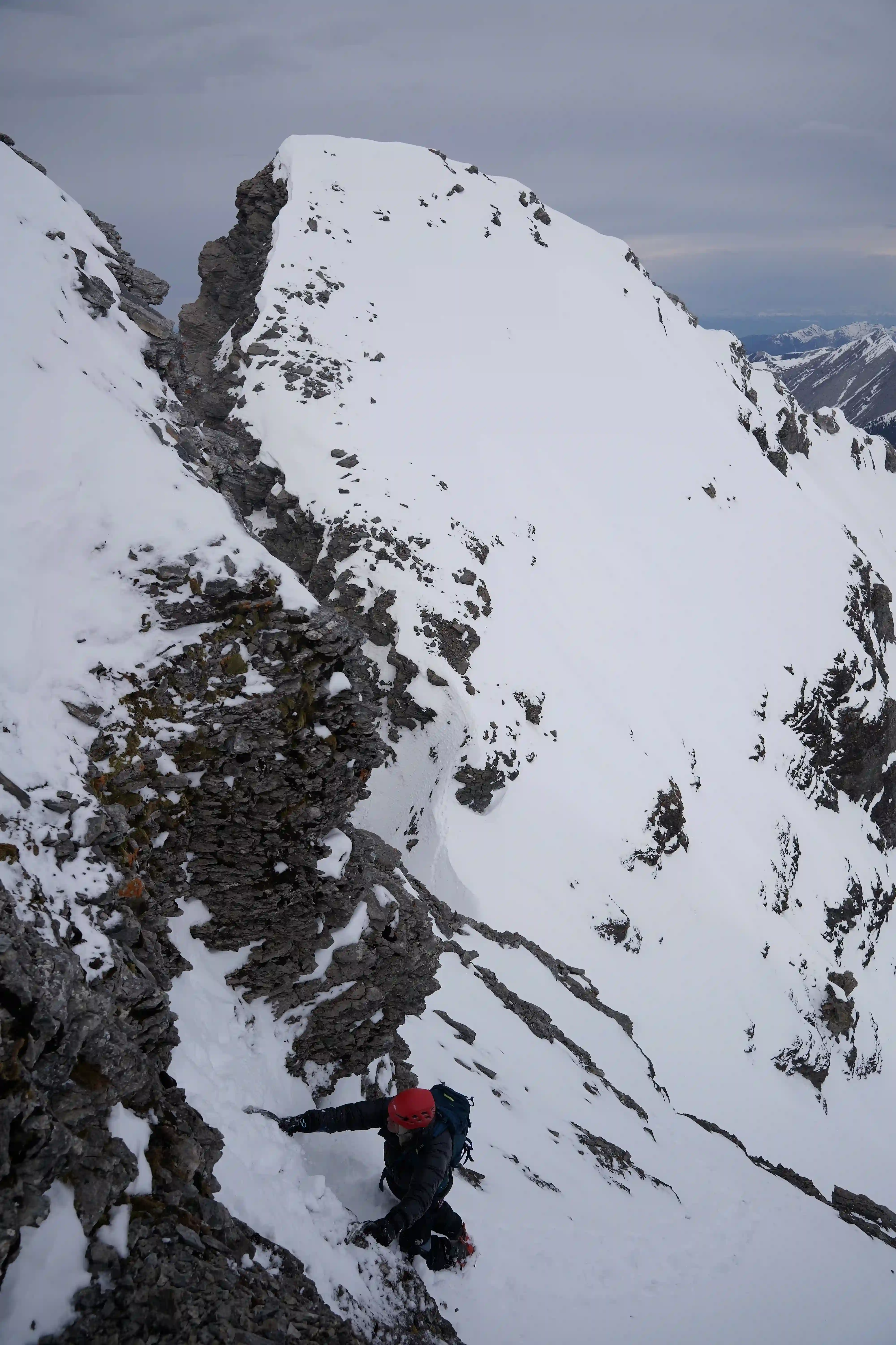
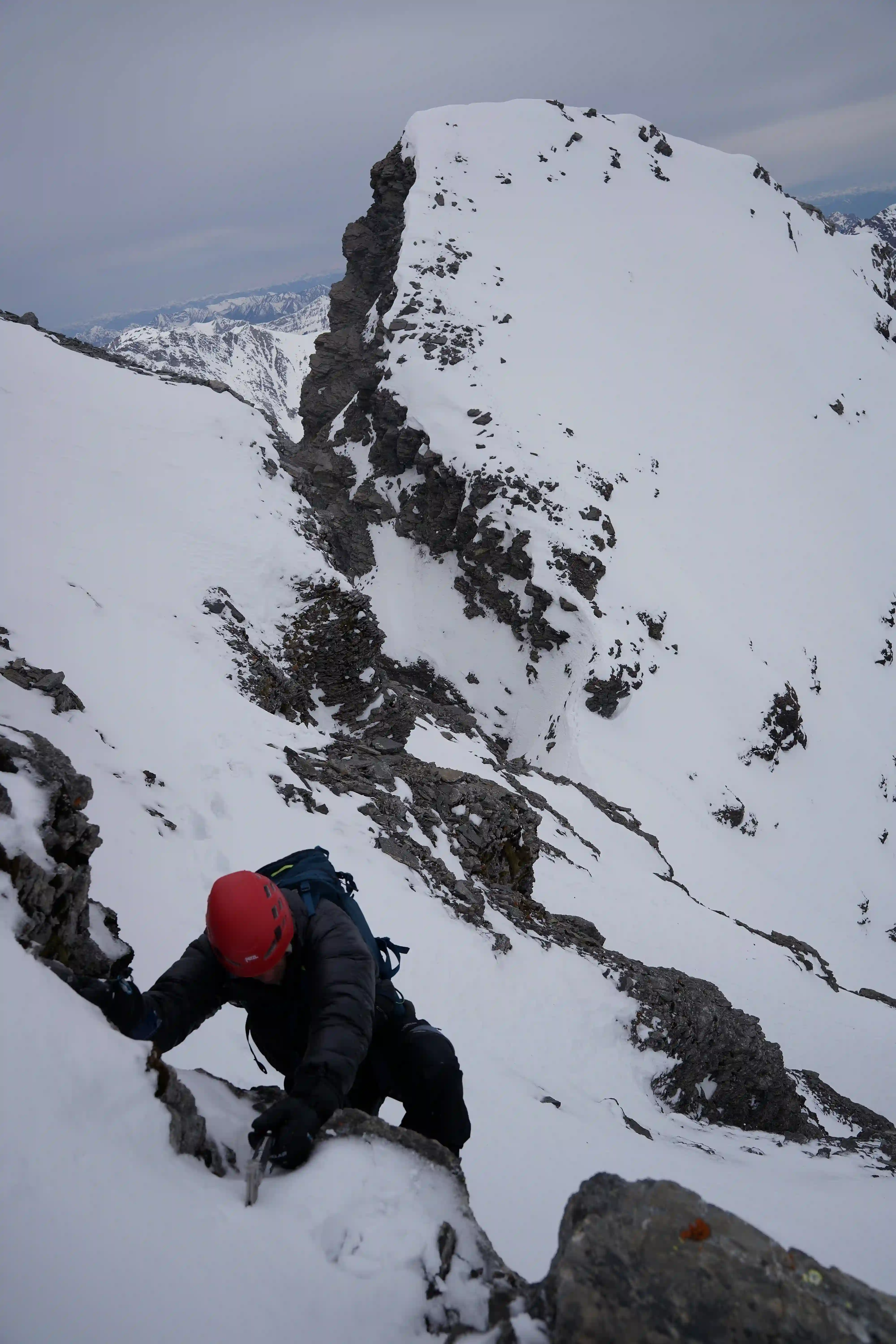
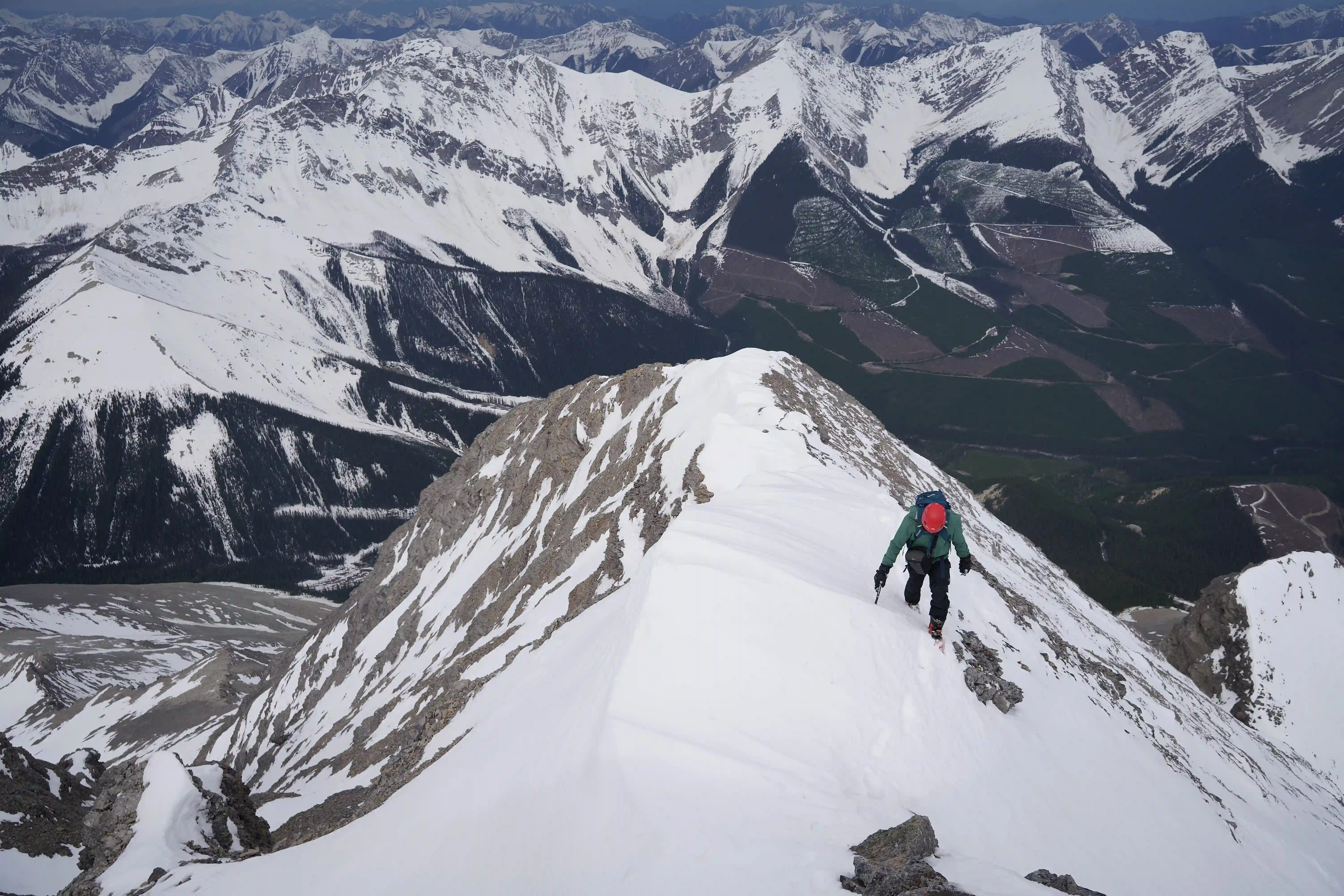
The northwest ridge section of our line up Harrison ended up being quite fun and given that Rob and I are both technically capable, having a bit of a challenge to deal with to reach the summit was very much welcome. I'm not super familiar with mixed grades but Rob figured the two crux steps we dealt with near the bottom went at about M3-M4 so nothing all that serious but definitely more involved than the standard route. Following those two steps there were still a few thin snow sections we steeper rock to deal with so we weren't in the clear yet but compared to the first two they were a walk in the park. After a bit more easy snow climbing and choss wrangling we reached the ridge and followed it up to where we reached the false summit. From that high point the summit wasn't far off and we just had to lose and regain a bit of elevation while watching for cornices on the right before we were standing atop Mount Harrison.
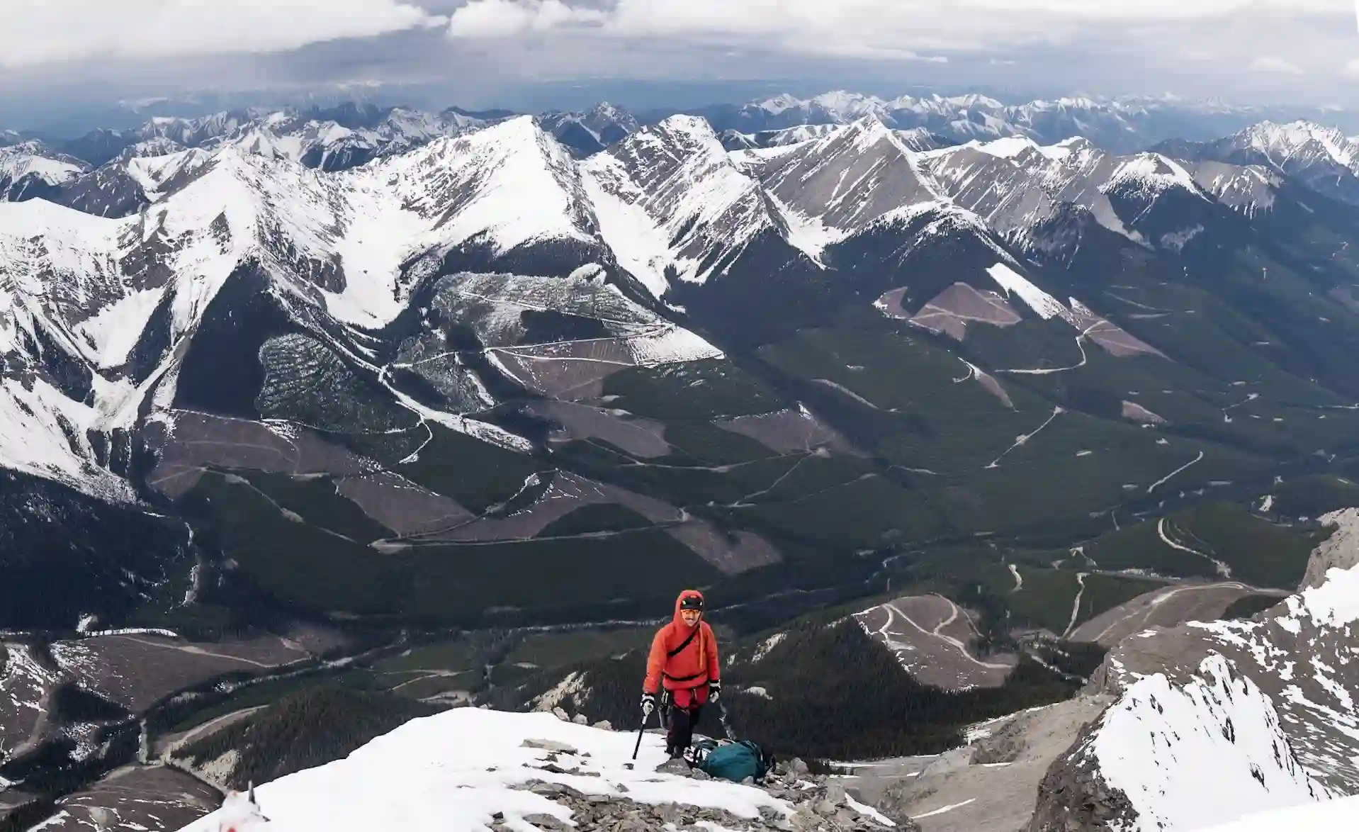
THE SUMMIT & DESCENT
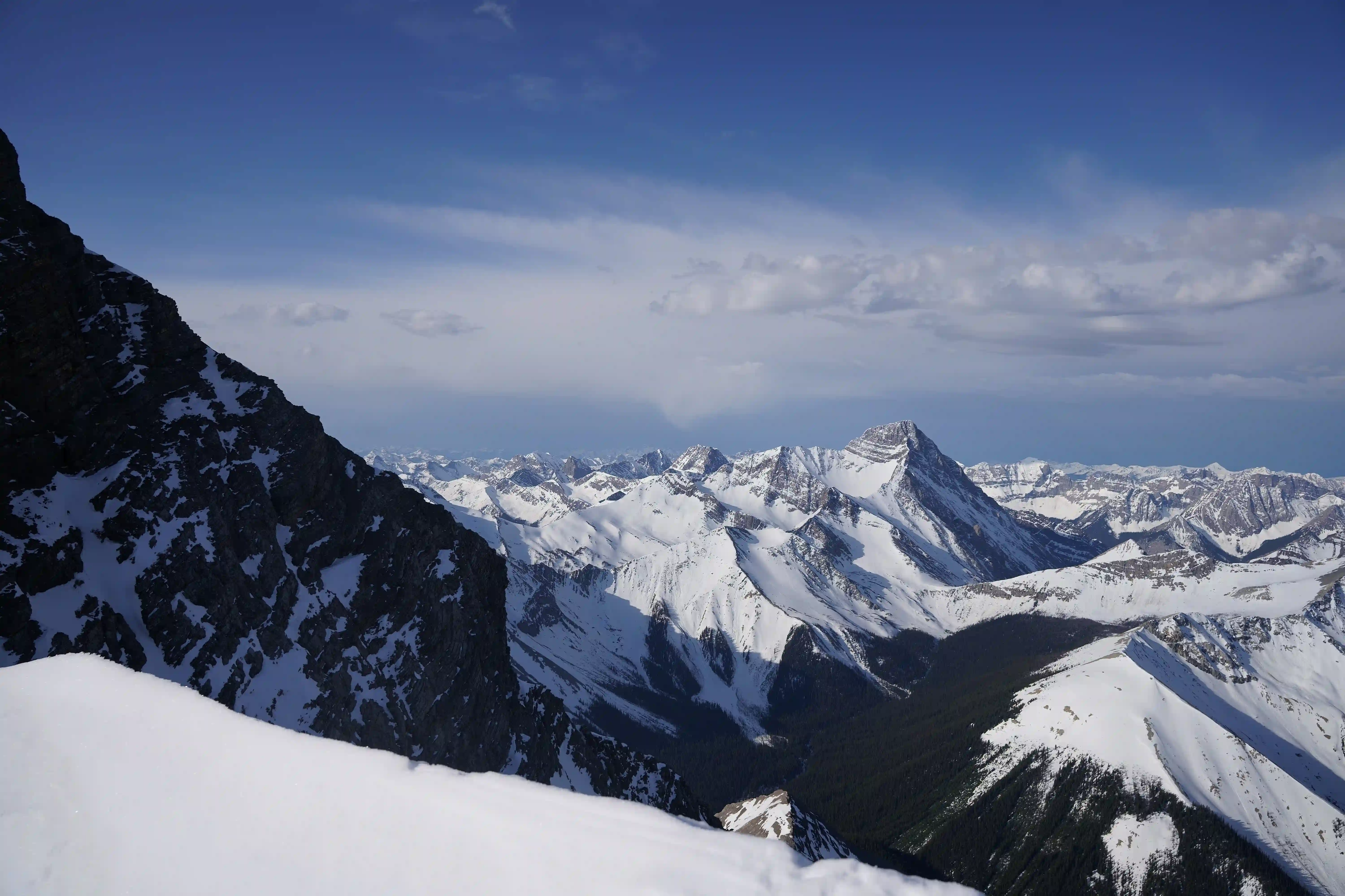
the distant valley almost 2000m below us and not far from where we started
from here
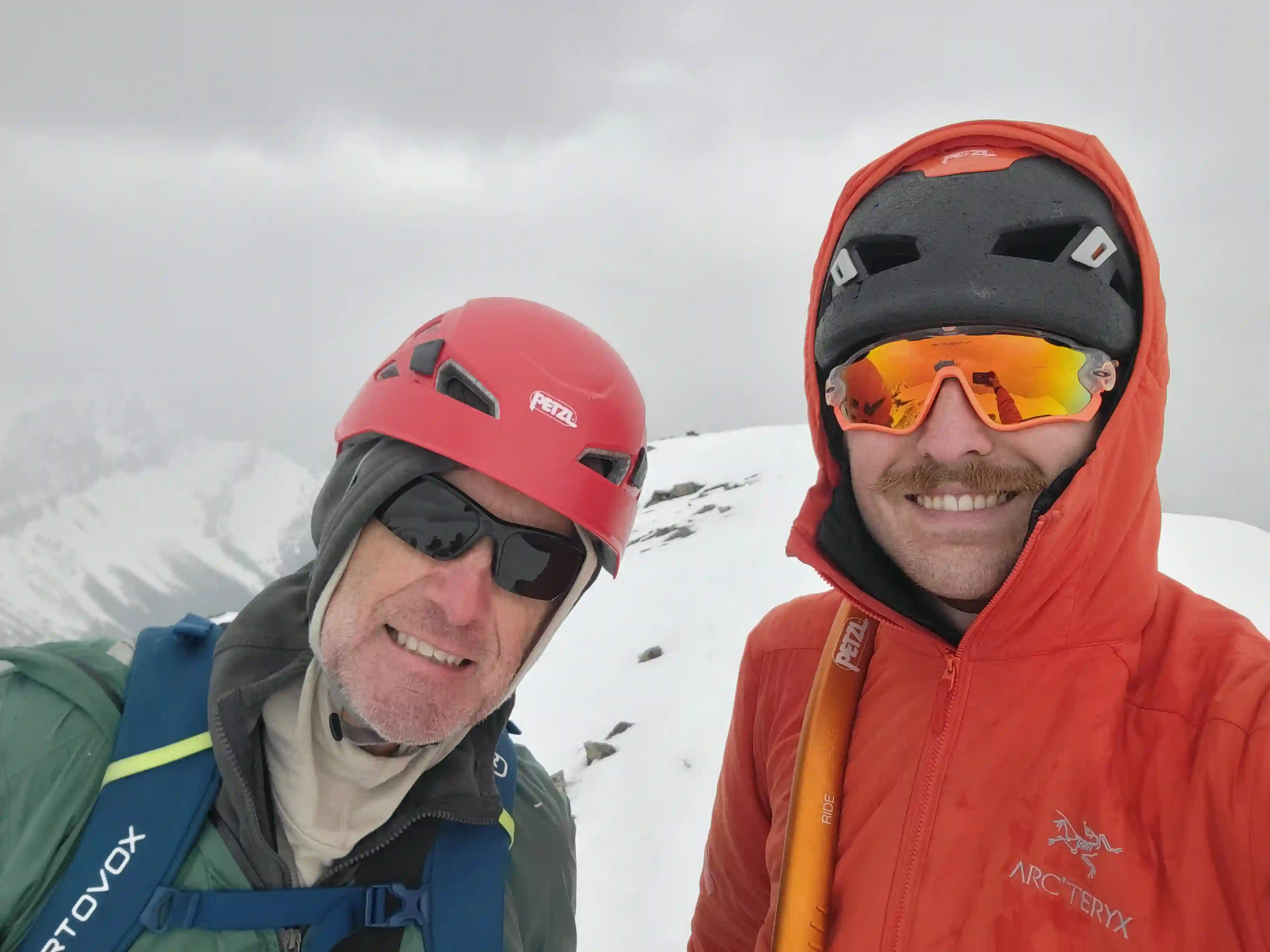
Our summit conditions didn't quite deliver the clear views we had been hoping for but we weren't completely socked in or getting stormed on so we couldn't be all that mad given our adapted schedule just to reach the top with the road issues we encountered. I hauled the drone I just got all the way to the summit just for it to not connect to the controller so that was frustrating but with the cloudcover I imagine those shots wouldn't have been all that crazy anyway. After a bit of time spent at the summit resting and taking photos we started back down and having the gravity assistance was very much welcome.
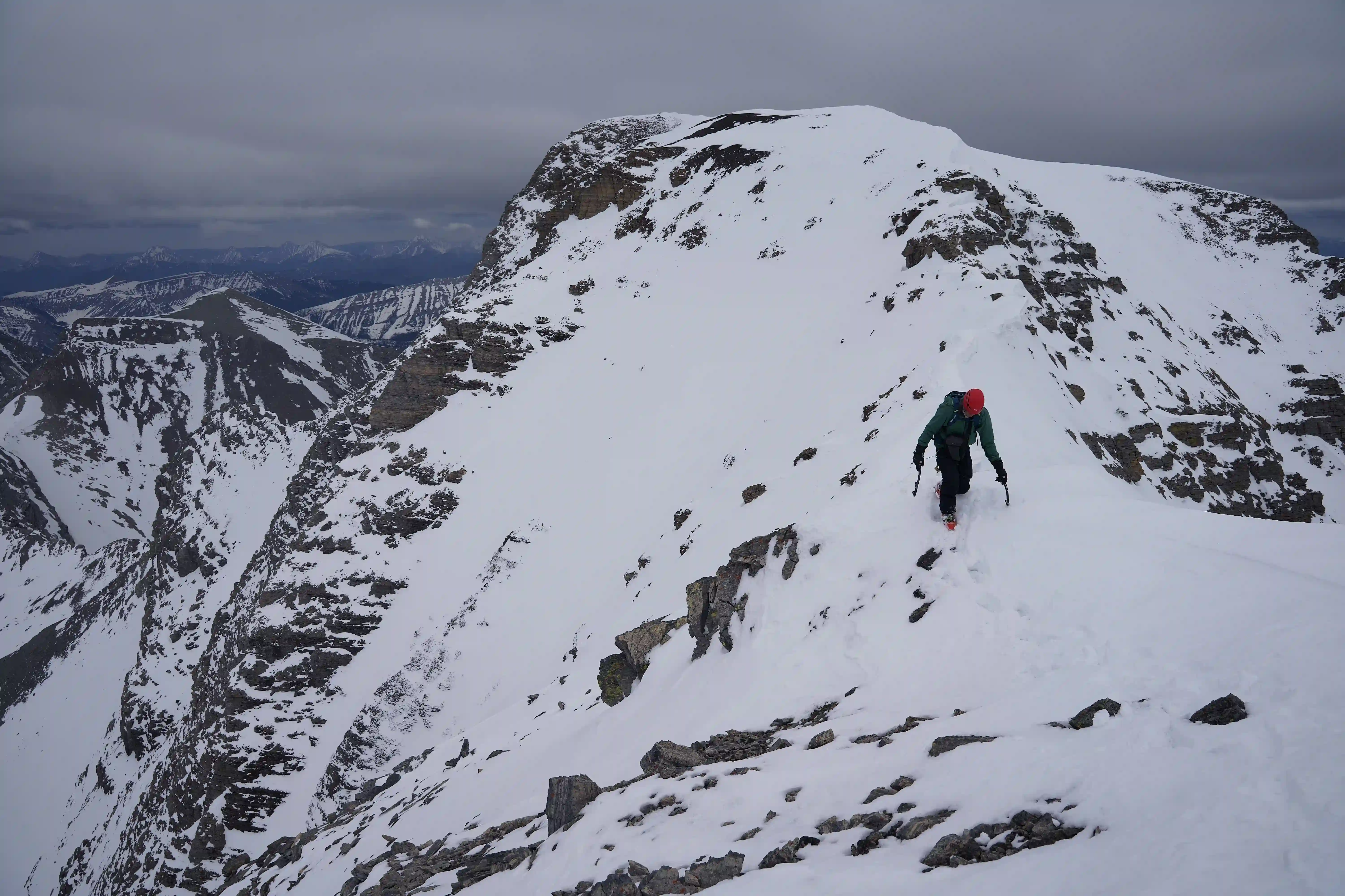
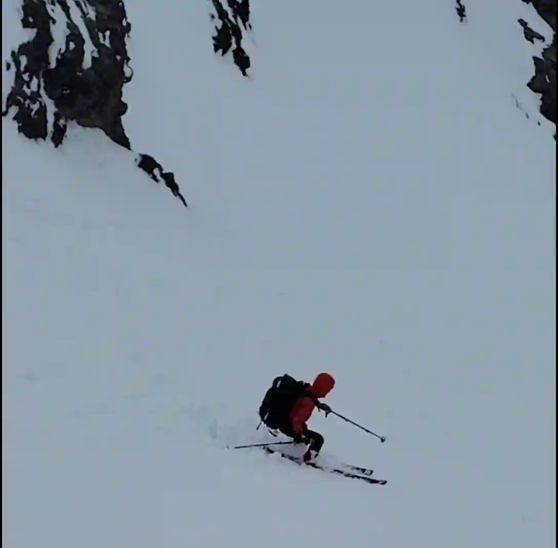
Descending the NW ridge section required a bit of care with rock sometimes not visible under the snow that could prove to be a tripping hazard, and the two crux steps near the bottom definitely took more concentration to get back down in a controlled manner but from there it wasn't long before we were back at the col and our ski gear. It was after 1pm by the time we were actually skiing the NW couloir line so conditions were anything but ideal, but despite the heavy snow and a bit of sluffing the snow was still not heavy or soft enough to make skiing impossible so we were able to descend very quickly and less than an hour later we had retraced our tracks all the way back to our camp.
by Rob Walker
step since it looked easier to get down

morning so we didn't really see it
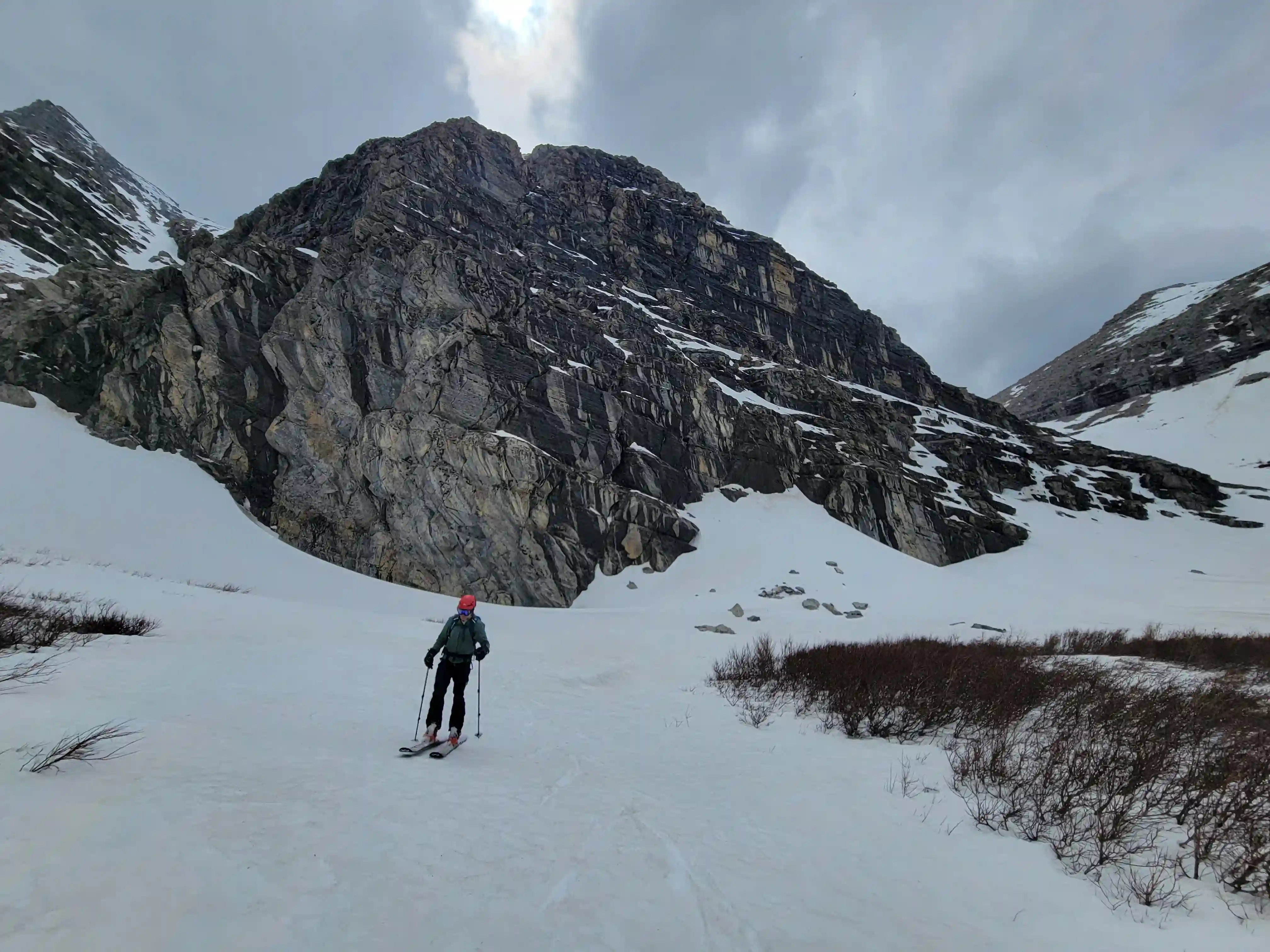
THE LONG EXIT
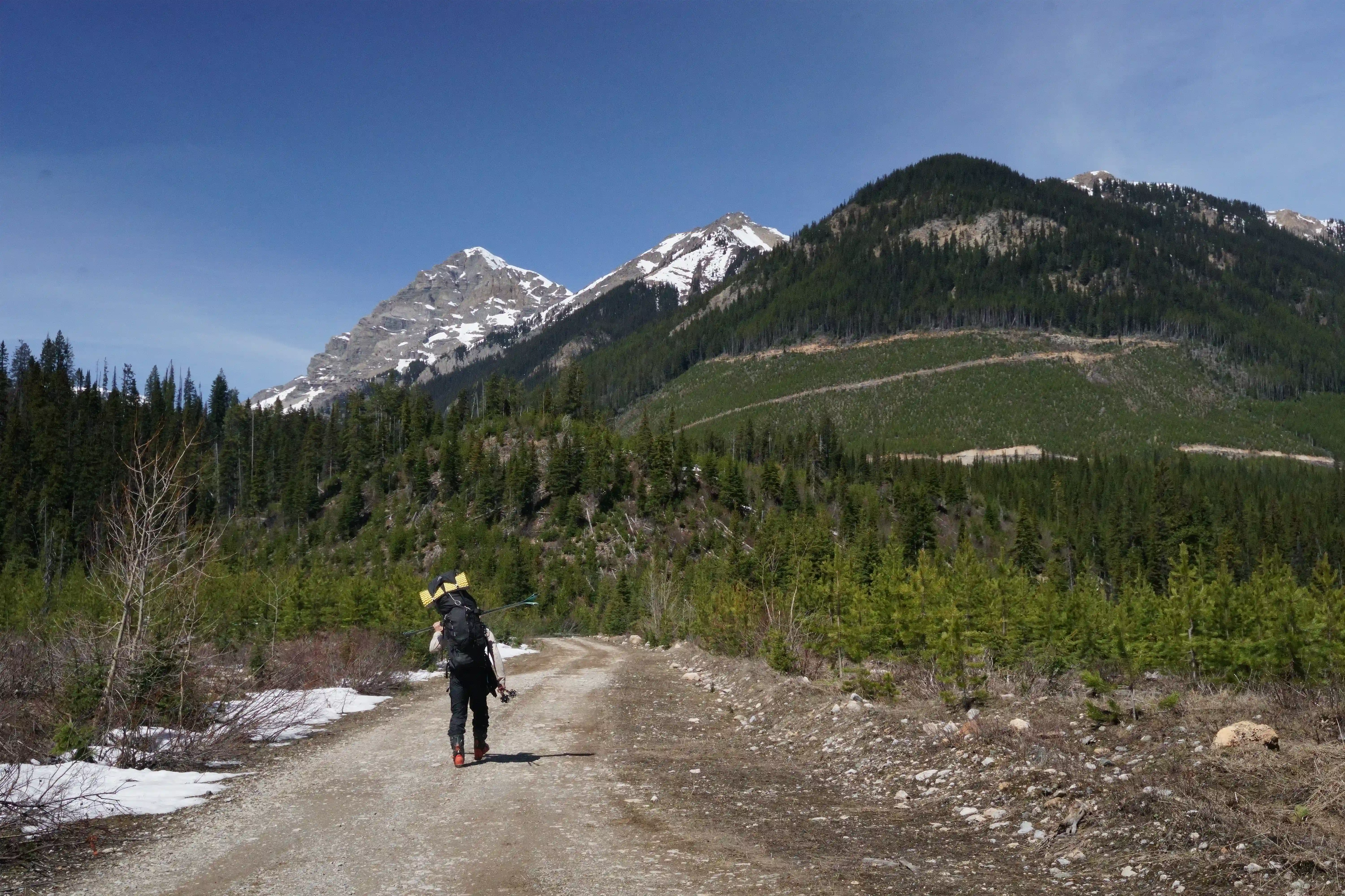
We both had been dreading the exit a bit given how long of a plod it was back to our vehicles but the silver lining was it was almost entirely elevation loss on the way back and it was still the early afternoon so we could get a sizable chunk of it done that day. Rob wanted a longer rest after our summit push so we dozed off for an hour or two but once some rain showed up it didn't take us long to get geared up and wrap up the last of the ski out. Safe to say, exiting that treed section especially as we got closer to the road was super annoying with tight trees and creek shenanigans but once back on the road we were able to skin for a while until we reached the large avy slide across the road and then the ski gear was on the pack for the remainder of the Harrison Creek FSR.
Rob was getting quite tired by this point in the day but I was also pretty much completely out of food so we ended up exiting until we were over half way down the Harrison Creek FSR so that we wouldn't have much left to do the next morning. After a pretty rough night of sleep getting rained on Rob woke me up at 5am and we threw the packs back on and kept plodding along. Having some sleep definitely helped to ease the last bit of exit rather than pushing to get all the way out the night before which was nice, and before 9am we were back at the cars enjoying root beers and freedom from the heavy packs.

When it comes to doing Mount Harrison in spring conditions I would recommend it since it was a quite enjoyable ascent and ski descent compared to what I've heard about the sidehilling filled standard route in the summer, but given the low odds of actually being able to reach the end of the road at this time of year it's hard to suggest to others unless you've got a snowmobile and go a month or two earlier than us when the roads are hopefully completely snow covered, still not a guarantee. It's very possible this spring was worse for avalanche activity blocking FSRs with the large amount of rain we got a month or so prior to this outing but still, you have no real way of knowing the conditions of the roads early season without making the huge drive out to scope it out for yourself or hoping that someone else does and shares the beta. Mitchell Thomas ended up going for Harrison a couple weeks after us and tried the White Swan FSR rather than the Bull to see if it was any better and ended up getting stopped by avy debris 25km from the typical start point for Harrison so even further out than us and much further than we would've been stopped had we reached the first impassable avy debris on the Bull River FSR 75km in, do with that information what you will.
Definitely a whole lot more type 2 fun was involved in this outing than expected but it was cool to explore a new area and I'm thankful Rob was actually down for the crazy idea of hoofing it in on foot from where our vehicles reached, not many folks out there that would be! Following this trip some mixed and difficult to plan around weather was forecasted for quite some time but with a half decent looking window hoving over some peaks on the 11000ers list I had yet to check off I deemed it good enough to send in and a week after this outing I was heading out again for my biggest solo trip to date!
Follow the full progression
I'm working through all 58 11000ers of the Canadian Rockies and beyond. You'll get notified when the latest climbs go live.
Other related trip reports:
||
Warren & Brazeau |
Mount Joffre |
Mount Columbia |
Woolley & Diadem |
The Goodsirs |
Mount Alberta
11000ers of the Canadian Rockies
© Haldan Borglum | Peak by Peak. All rights reserved.