Mount King Edward
3490m, 11450ft
May 27-28 2025
Mount King Edward makes up one of the 4 Canadian Rockies 11000ers typically accessed by driving over 90km out the Bush River Forest Service Road making it one of the more remote objectives on the list, the other 3 being
Mount Bryce,
Mount Bryce Center, and
Mount Alexandra.
Athough it isn't quite as far out as the truly wild mountains like
Tsar Mountain,
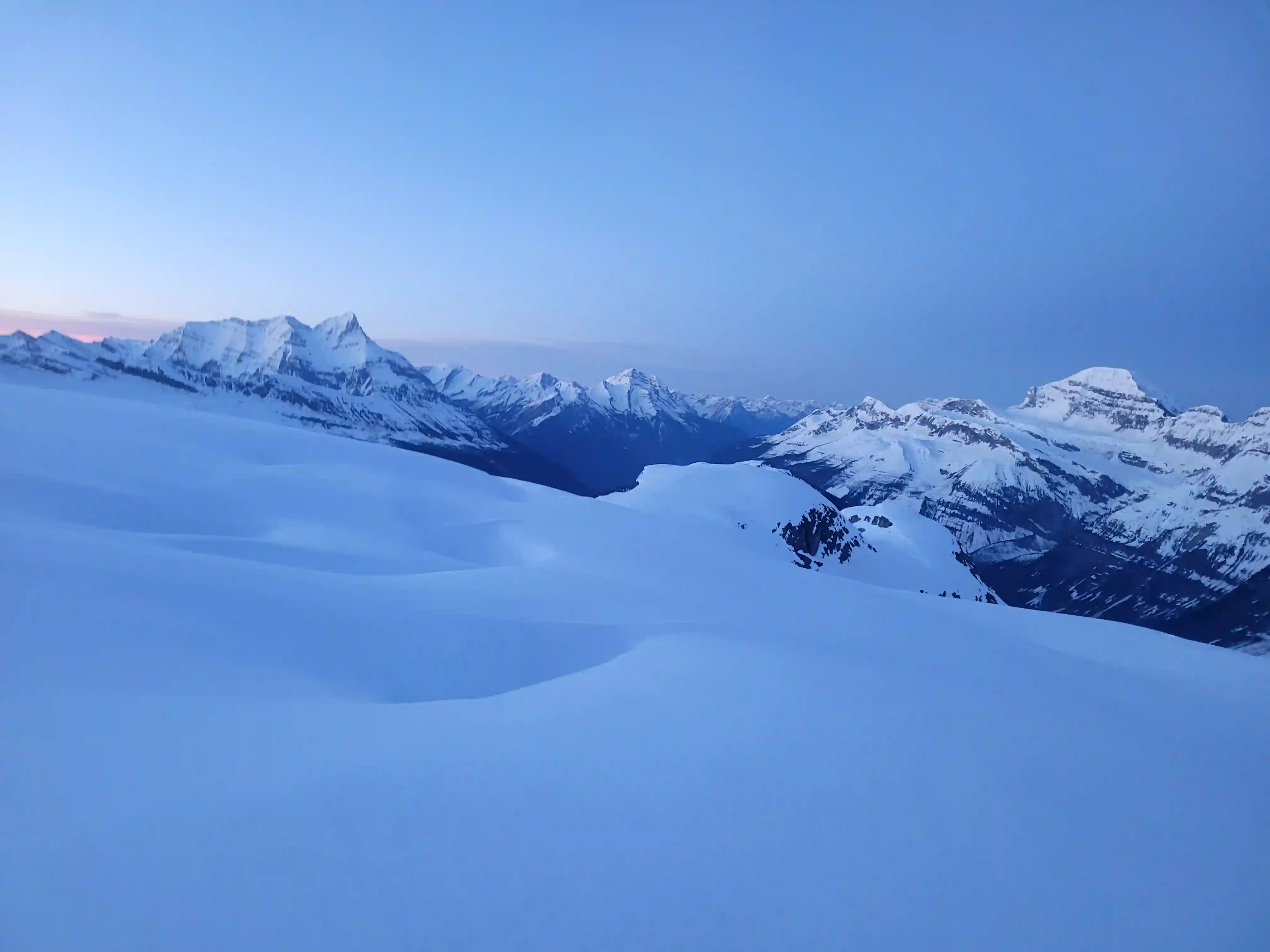
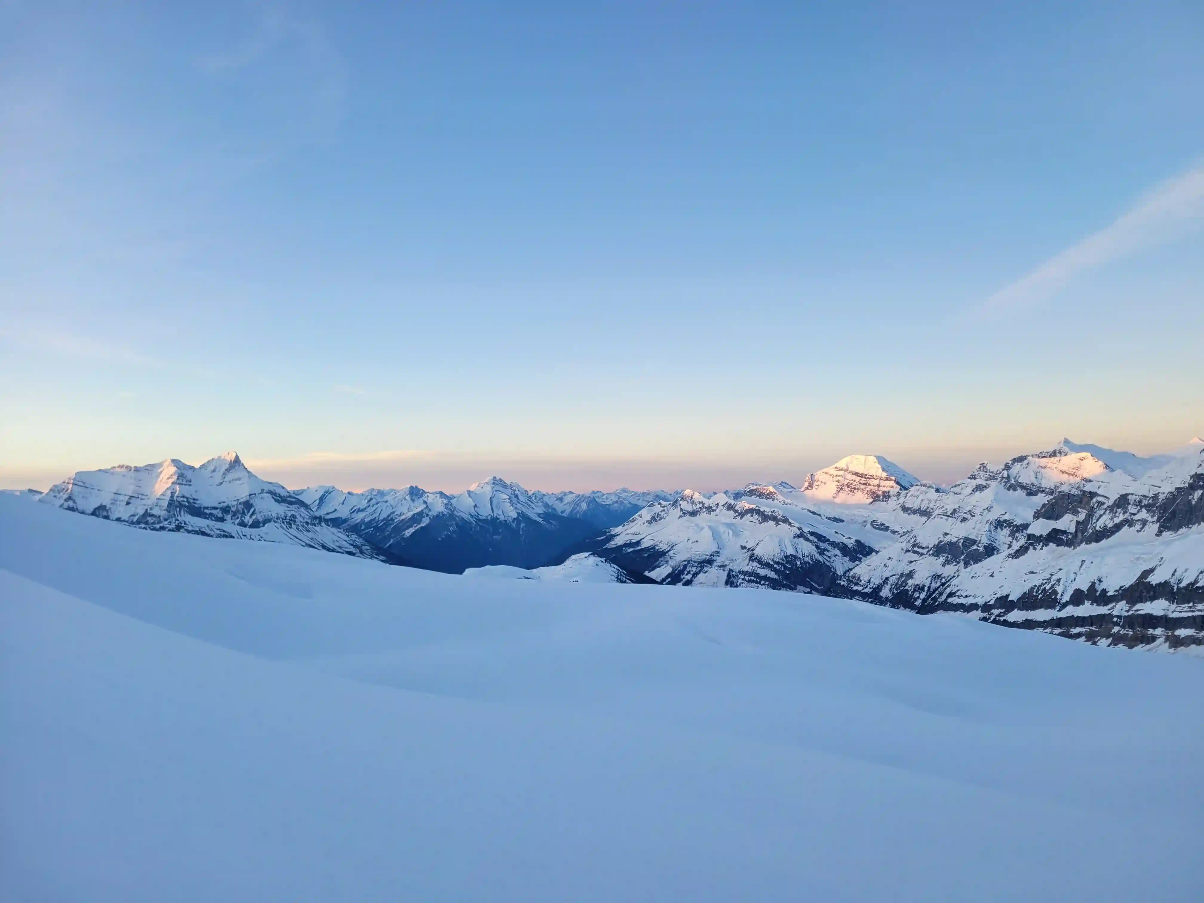
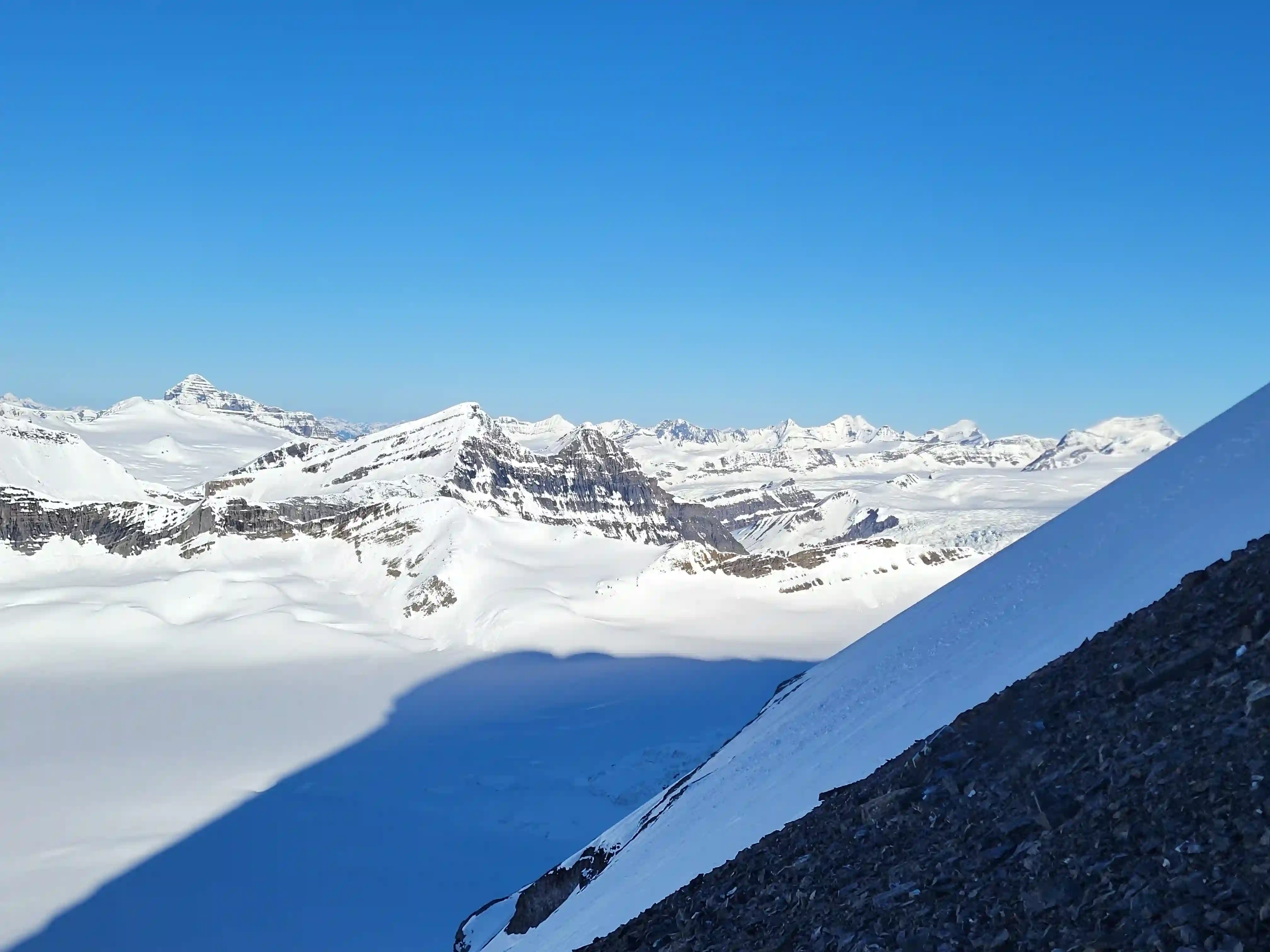
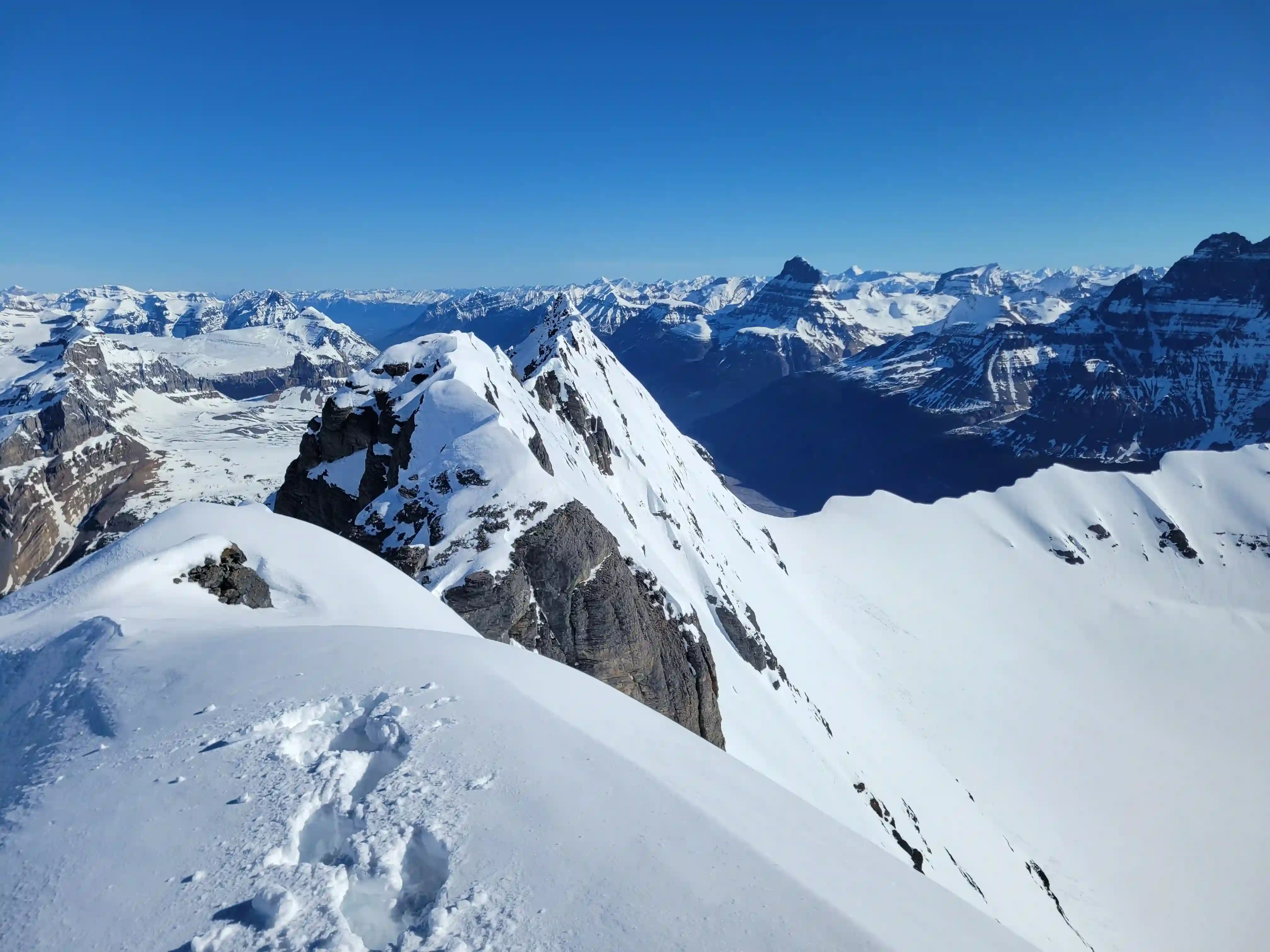
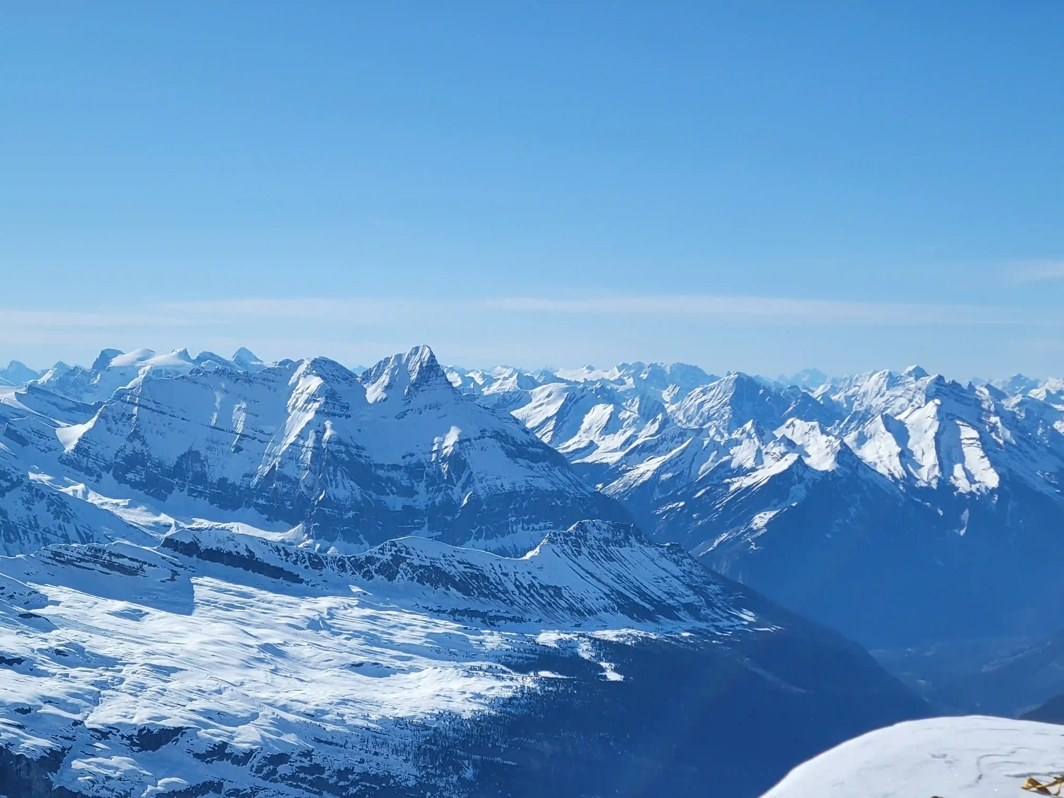
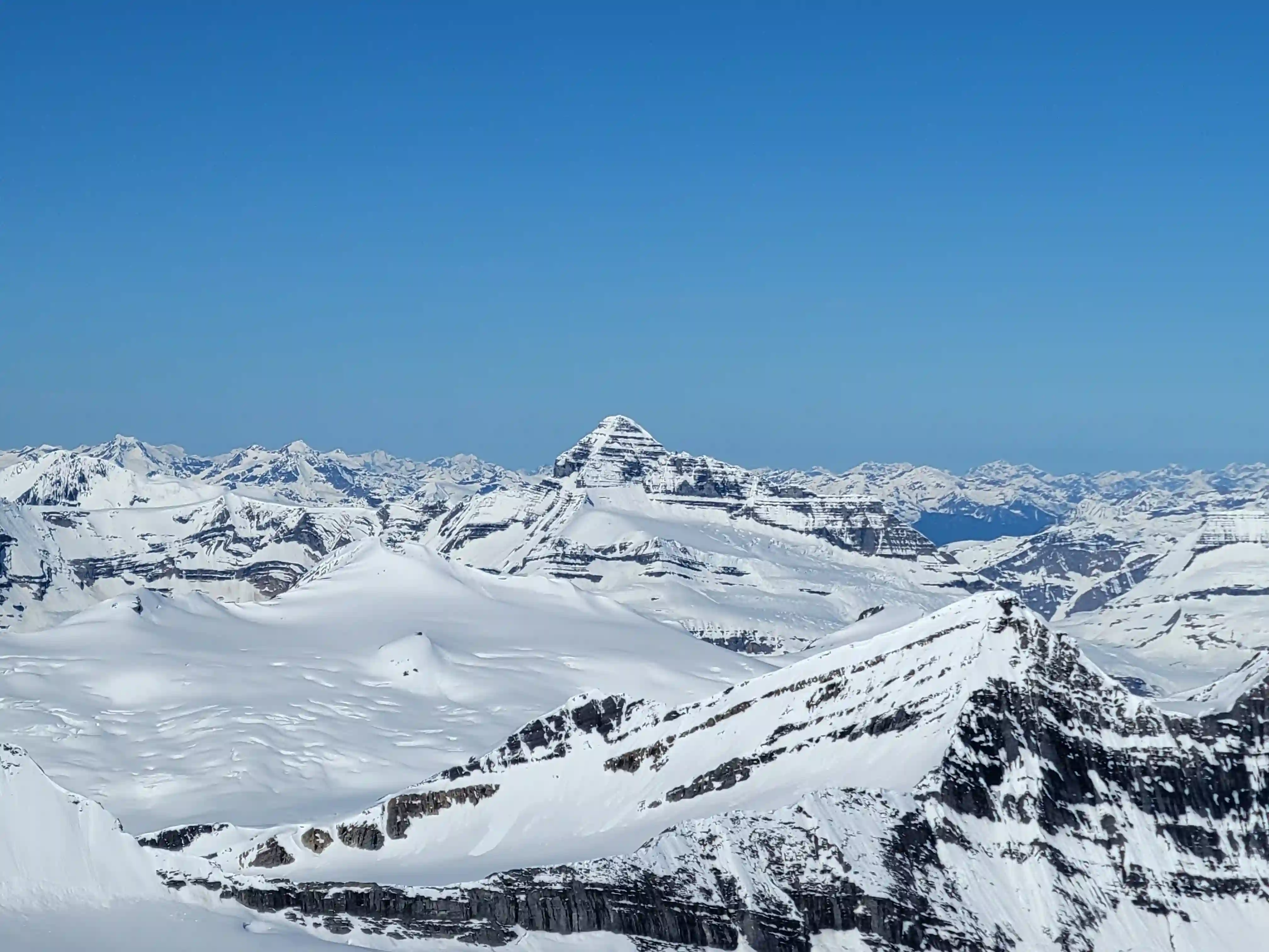
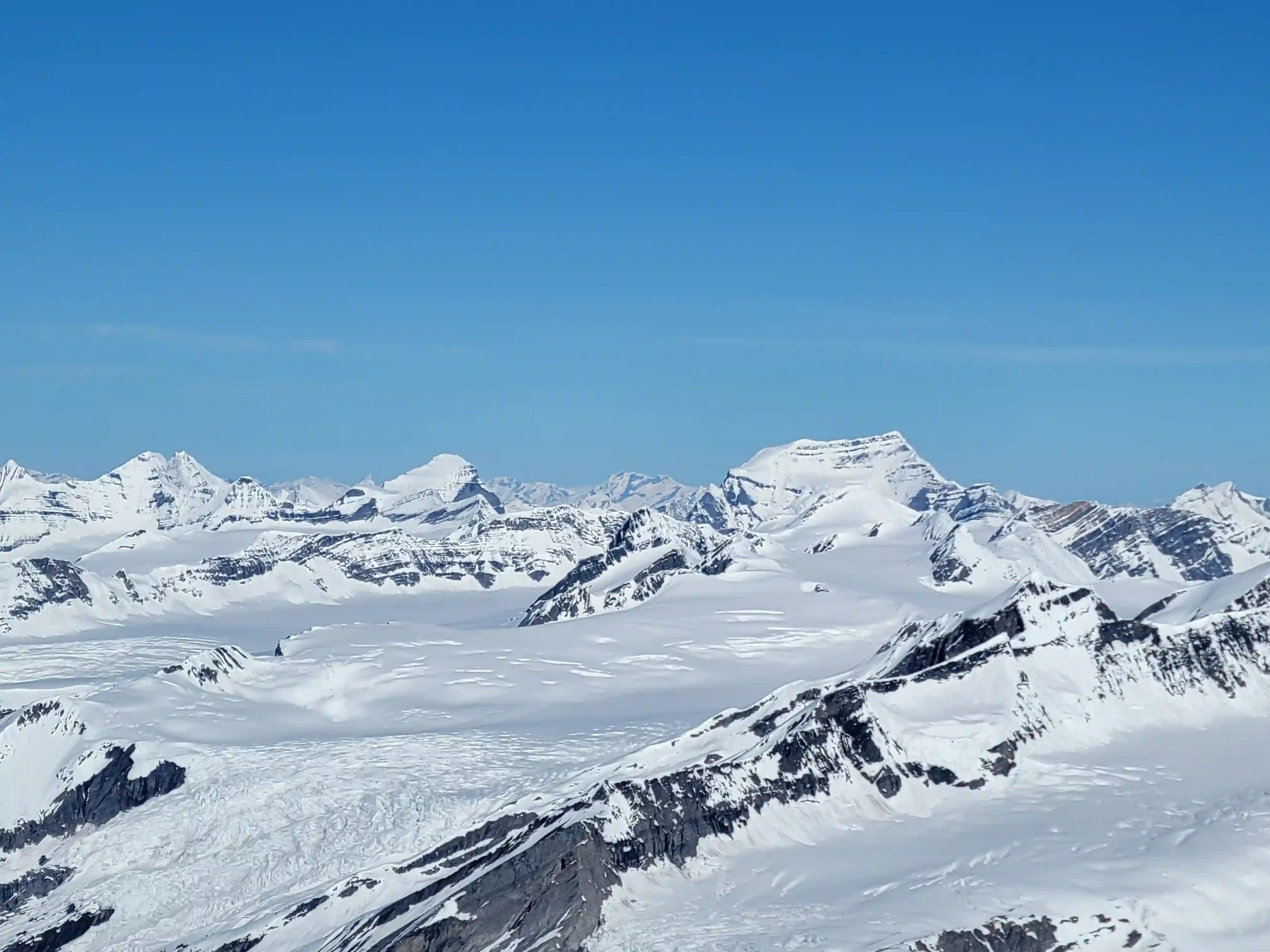
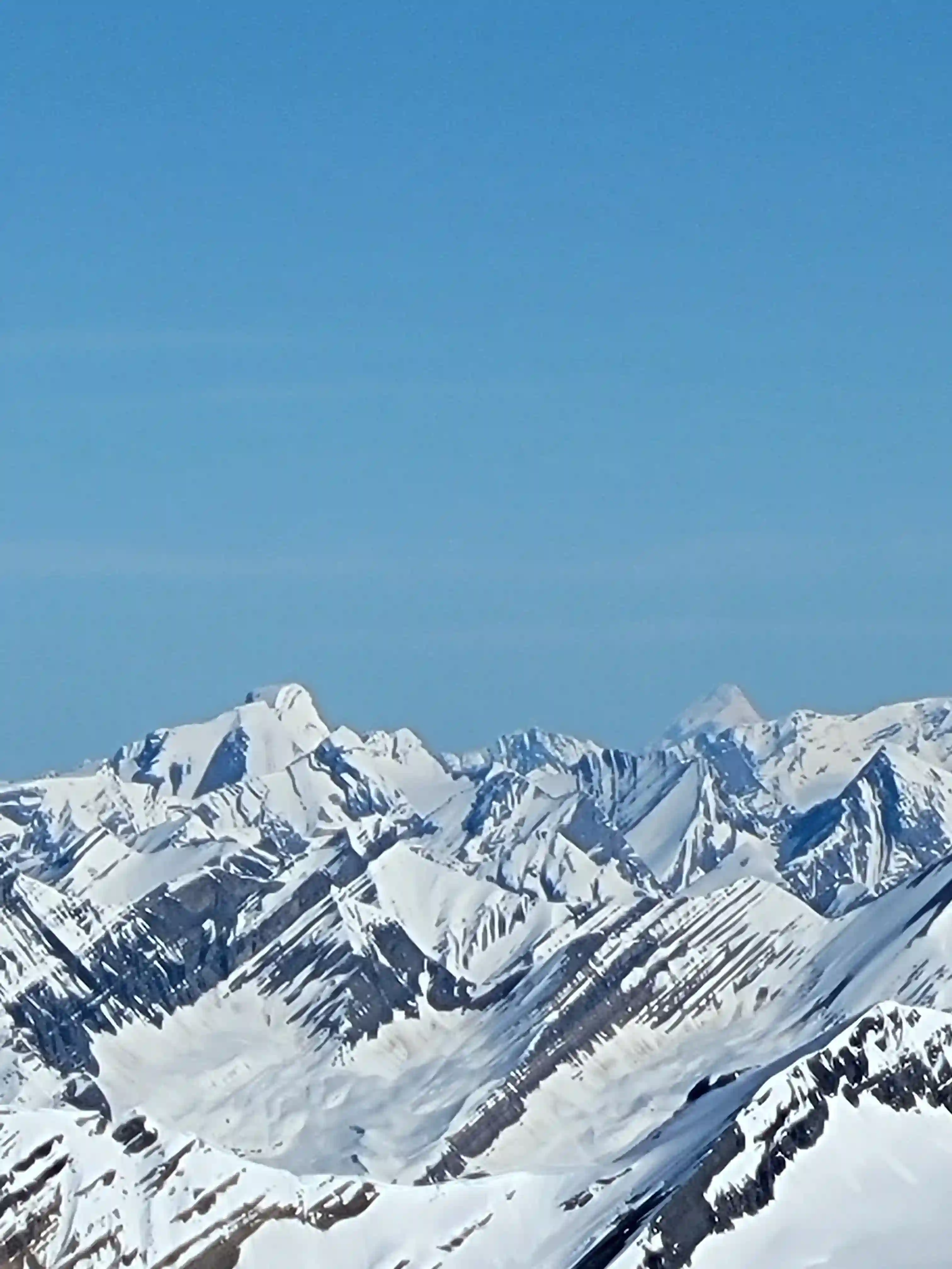
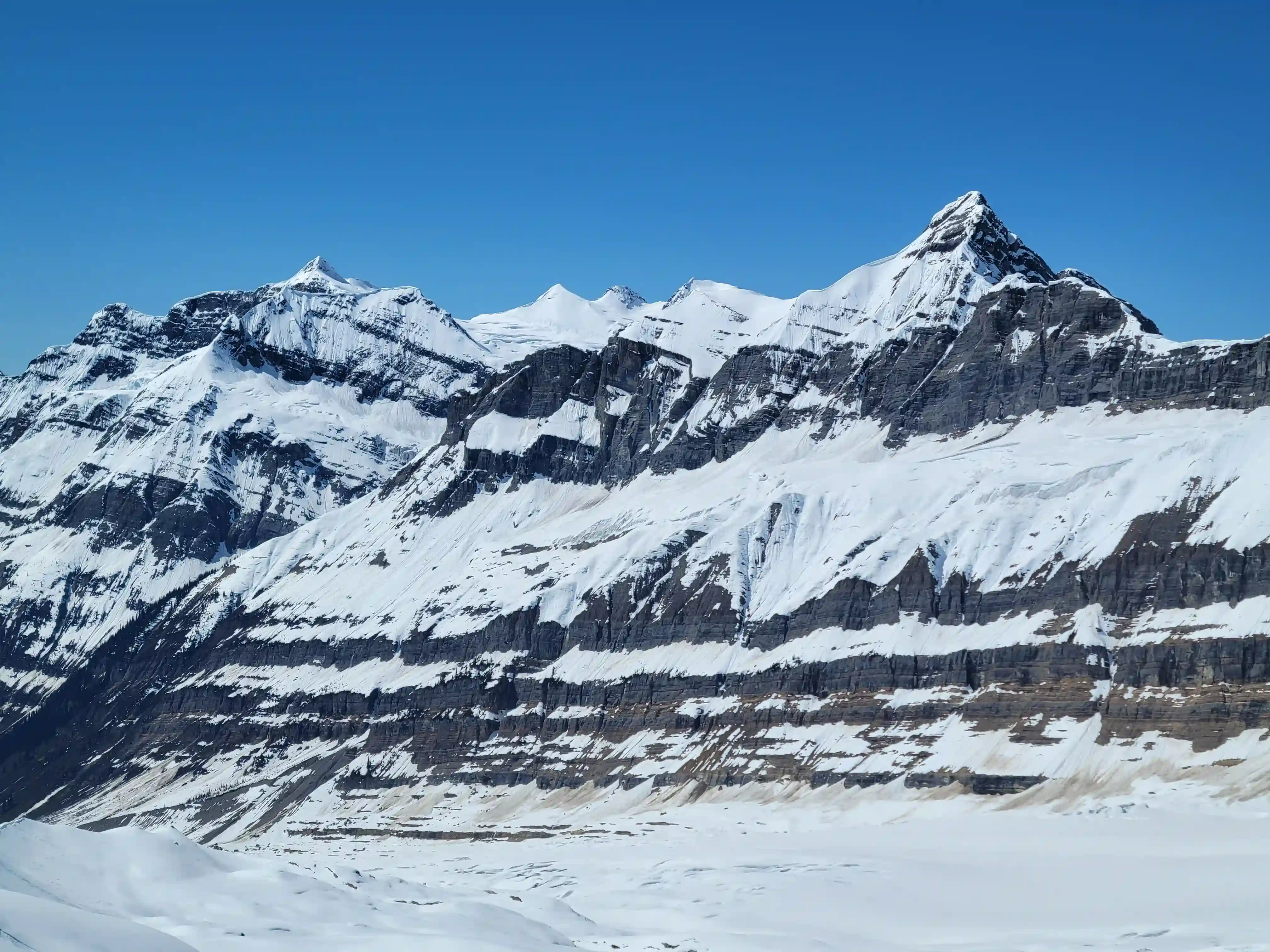
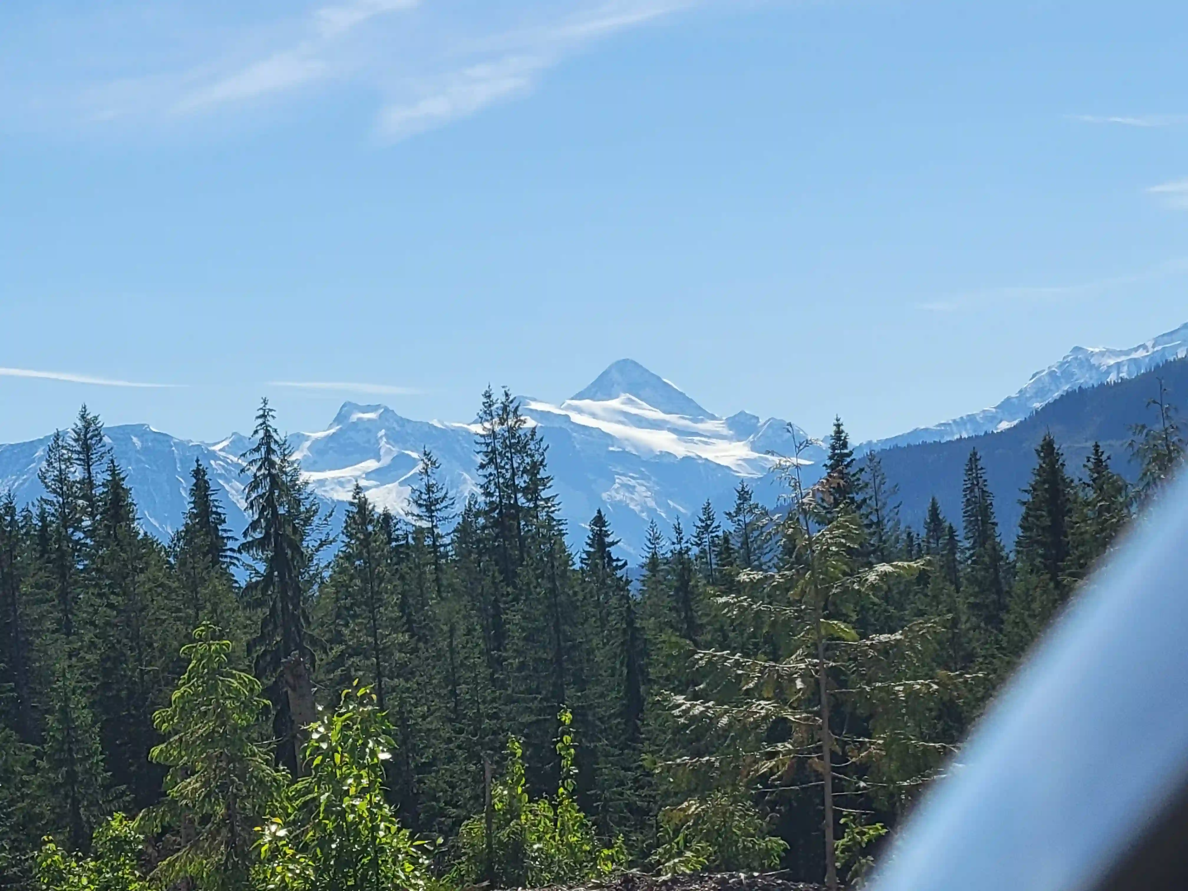
Tusk Peak, or Mount Clemenceau, it sits at the far end of the Columbia Icefield in one of the seldom visited corners of the Rockies far away from pretty much all signs of civilization. This and the fact that it's positioned near the center of many of the most remote peaks on the 11000ers of the Canadian Rockies list means that the summit views are truly a who's who of the remote giants of the range.

After an epic
Tsar Mountain
trip less than a week prior I was still feeling surprisingly good and eager to get out for more difficult objectives so
when I noticed a great looking high pressure and low cloud cover window around the Columbia Icefield just a few days later I knew I wanted to go for one of the peaks
out the Bush FSR.
Mount Bryce and Bryce Center
were the top objectives I had in mind but when I was unable to find a partner
with short notice for a mid week trip I decided I was more comfortable soloing Mount King Edward and went for it.
I had been wanting to check off King Edward sooner rather than later for a while due to the logistical challenge it presents to get right
so I couldn't pass up on what seemed like a perfect opportunity.
You have to wait for the road to open around May and then go for it ASAP before the Bush River that you have to cross starts raging
with the warming weather. What I failed to realize was that the price of picking a bluebird window for this peak was that the warm weather increased the water levels even more rapidly, making for an interesting crossing.
While the river levels are a major hurdle of this trip, timing the snow conditions right is also key to a successful summit bid.
The final section of the ascent bypasses the cliffy summit block onto the exposed SE face and without half-decent snow conditions this
section could easily be deadly if something were to go wrong. This peak can also be done dry but the SE face portion looks quite
gnarly and I'm not sure how you'd know what the river water levels would look like in the late summer so I knew I wanted to
target a spring ascent.
links:
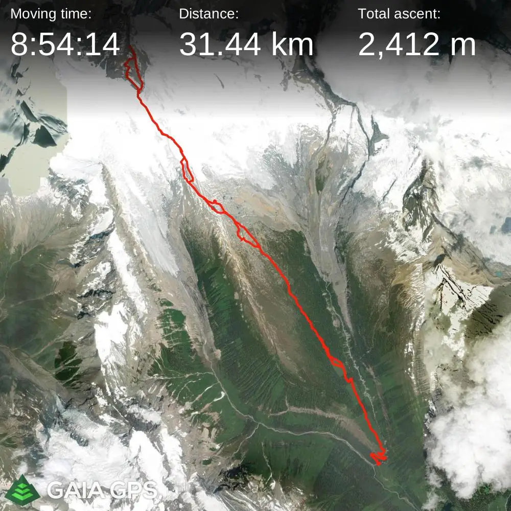
STRAVA
|
GAIA
elapsed time: 18.5hrs
DIFFICULTY: AD-/AD, remote, multiday, glacier travel, steep snow climbing / 5th class, river crossing
Use the following links to jump to:
Follow the journey
I'll send you an email when a new trip report drops.
The Bush River FSR had been open for a couple weeks by this point but with weather being a bit mixed this seemed like the earliest reasonable opportunity that I had to go for this
peak so I took it.
After deciding to go for it solo at 1:30pm on the day of my approach I started throwing my gear together and by 4pm I was on my way
to Golden from Canmore. My 2008 Mazda 3 was able to handle the FSR fine and by 8:30pm I was geared up and leaving the car. The nice thing about the
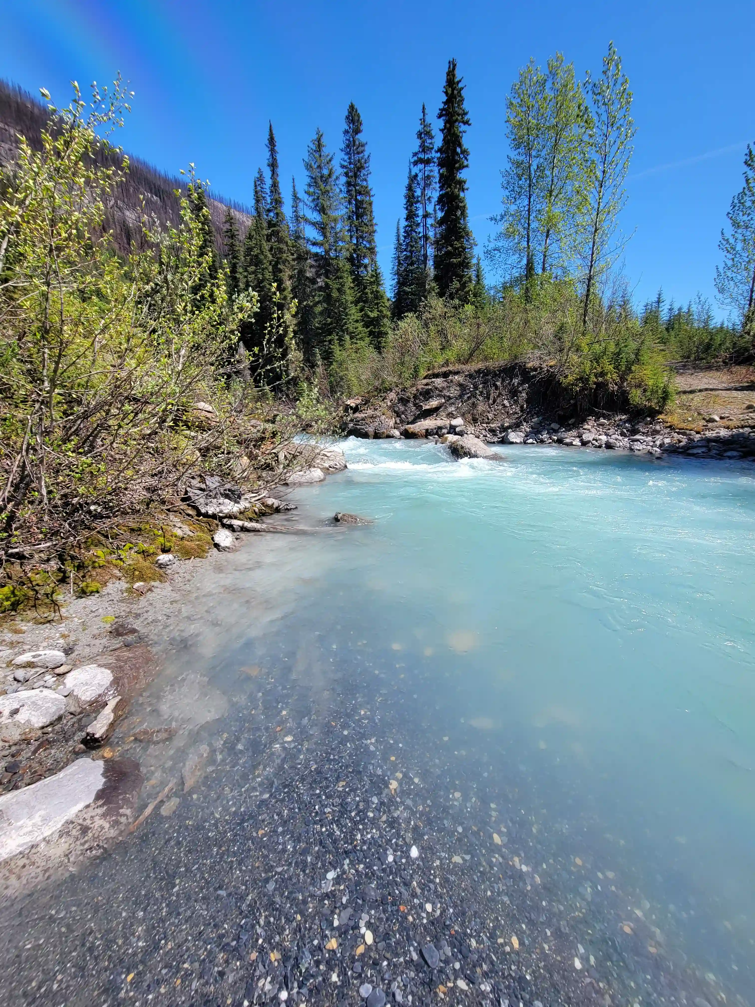
river crossing for King Edward is that it's right at the start so you'll know if it'll go or not pretty quickly.
The crossing was quite sporty and on the way in I had to fight decently strong current belly button deep. Unfortunately the way out ended
up being even worse with the deepest section of the river chest deep, video on the left is the river level I had to cross for my exit. I ended up being pushed 3-5 meters by the current before my feet could touch again and I could walk out so this crossing was more of a swim, yikes.
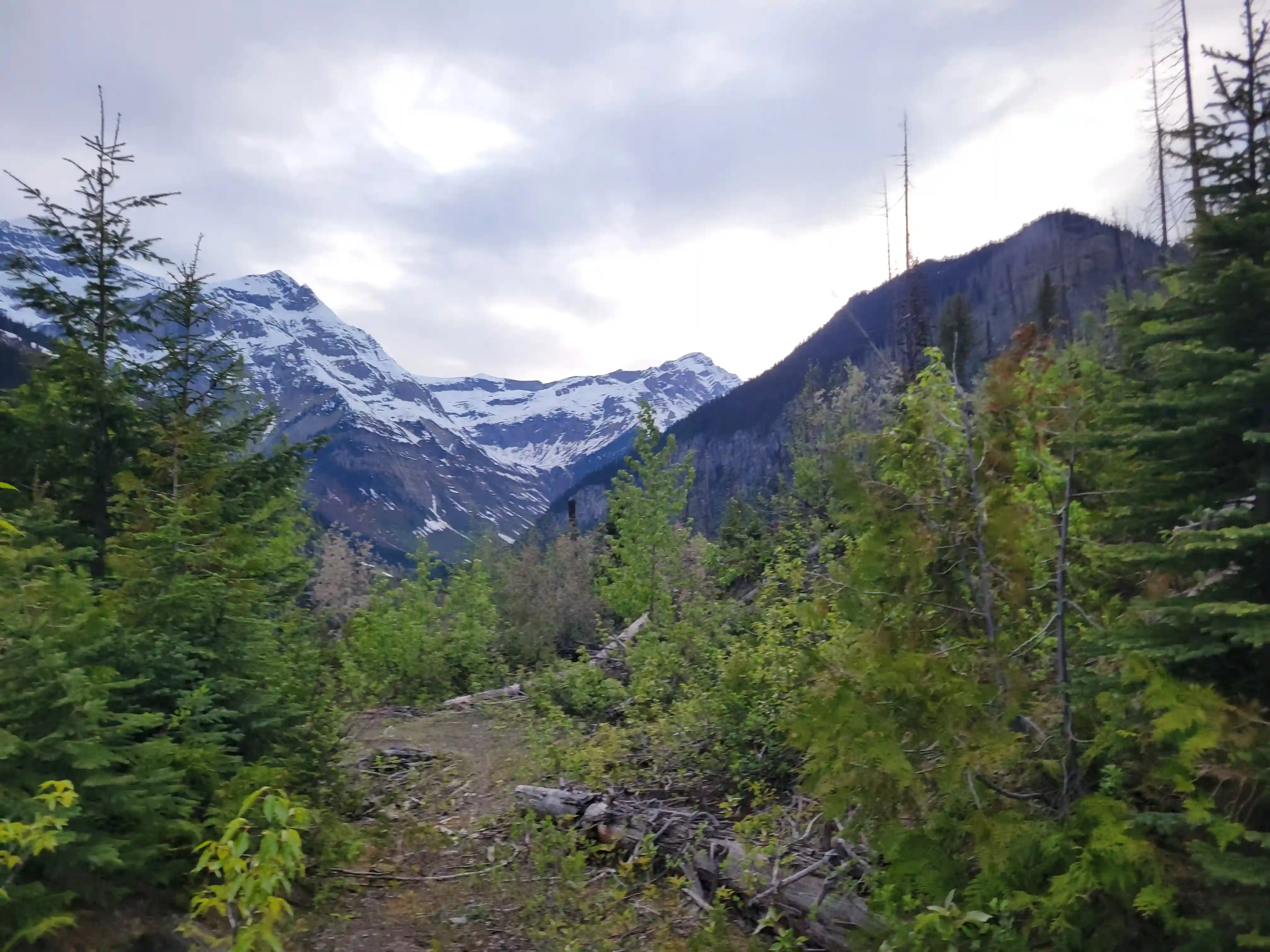
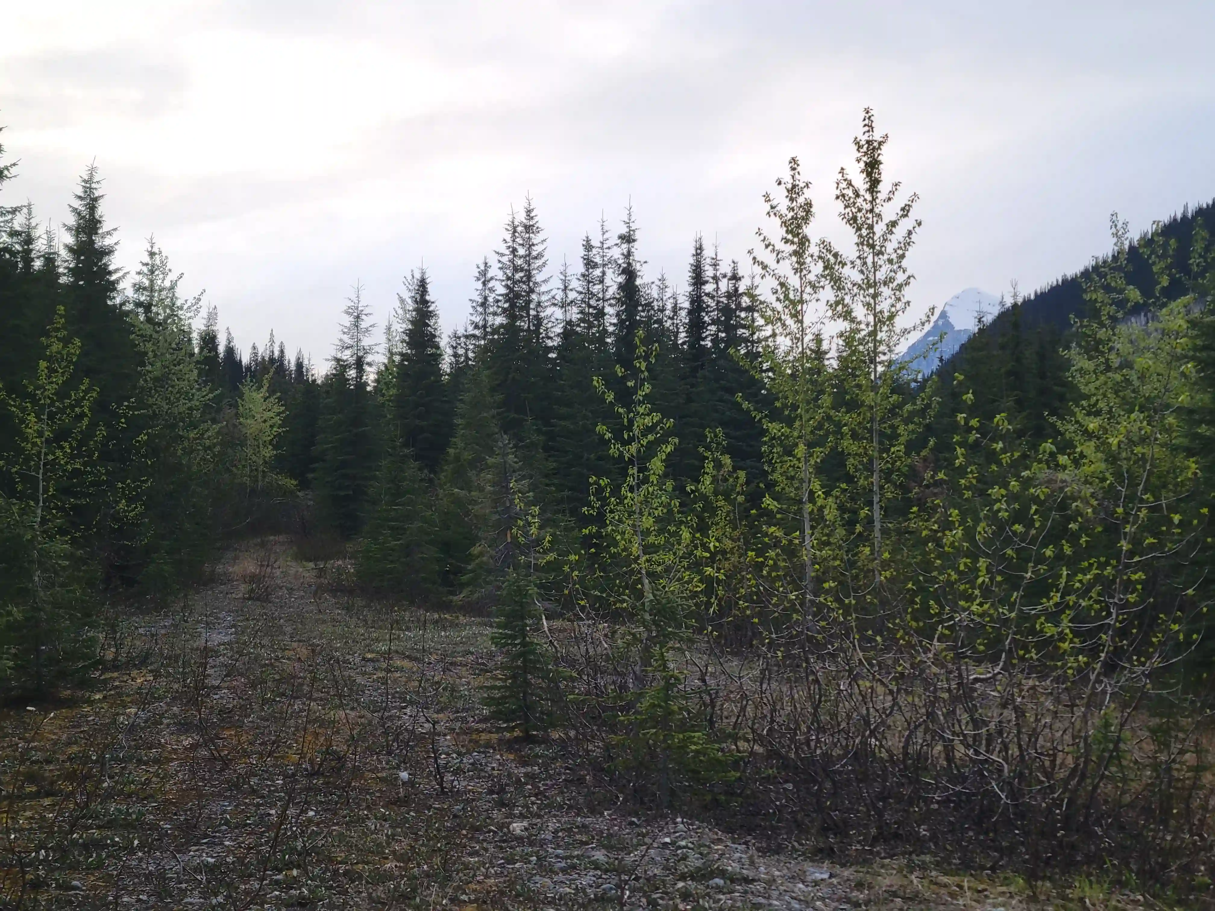
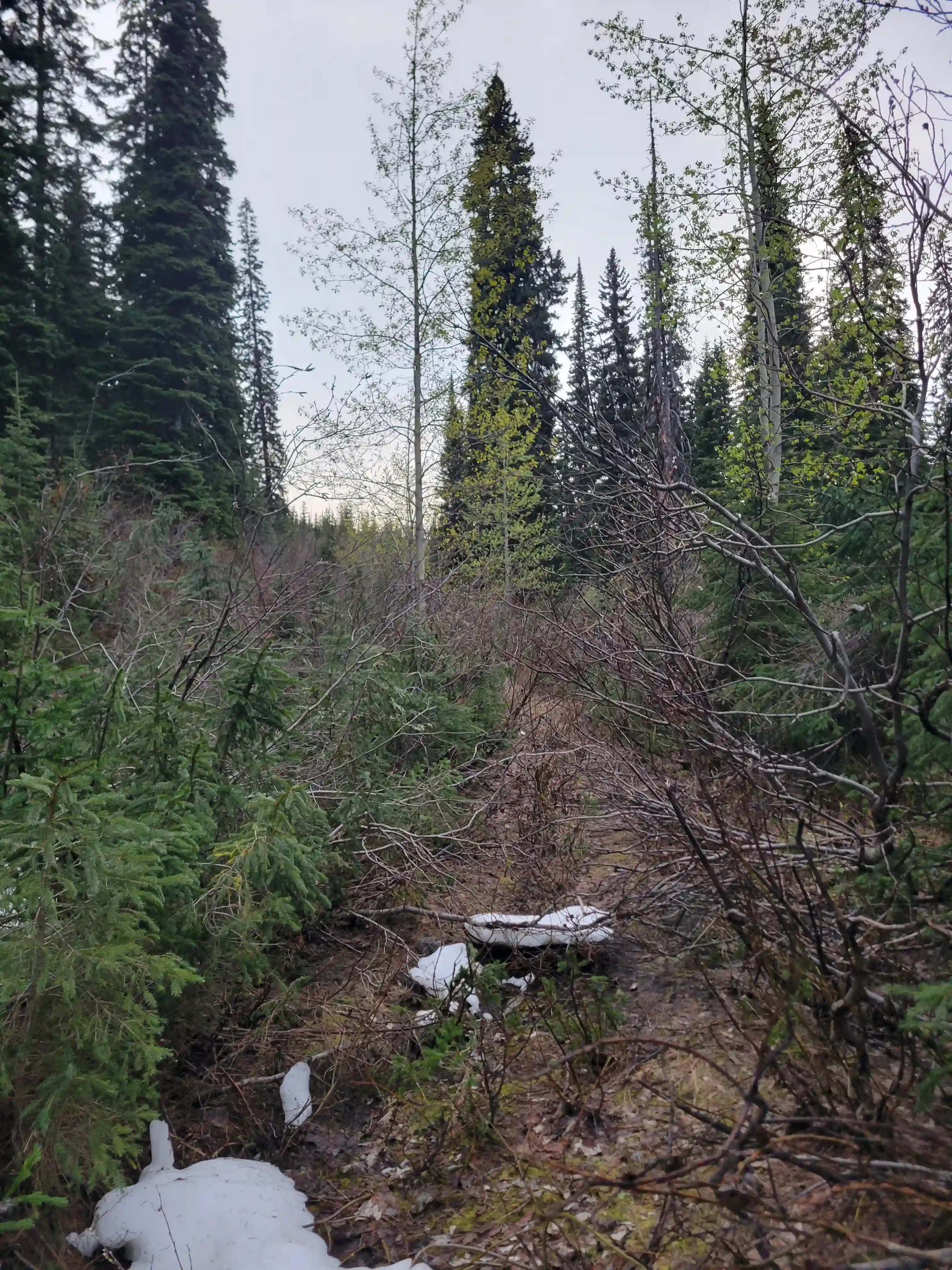
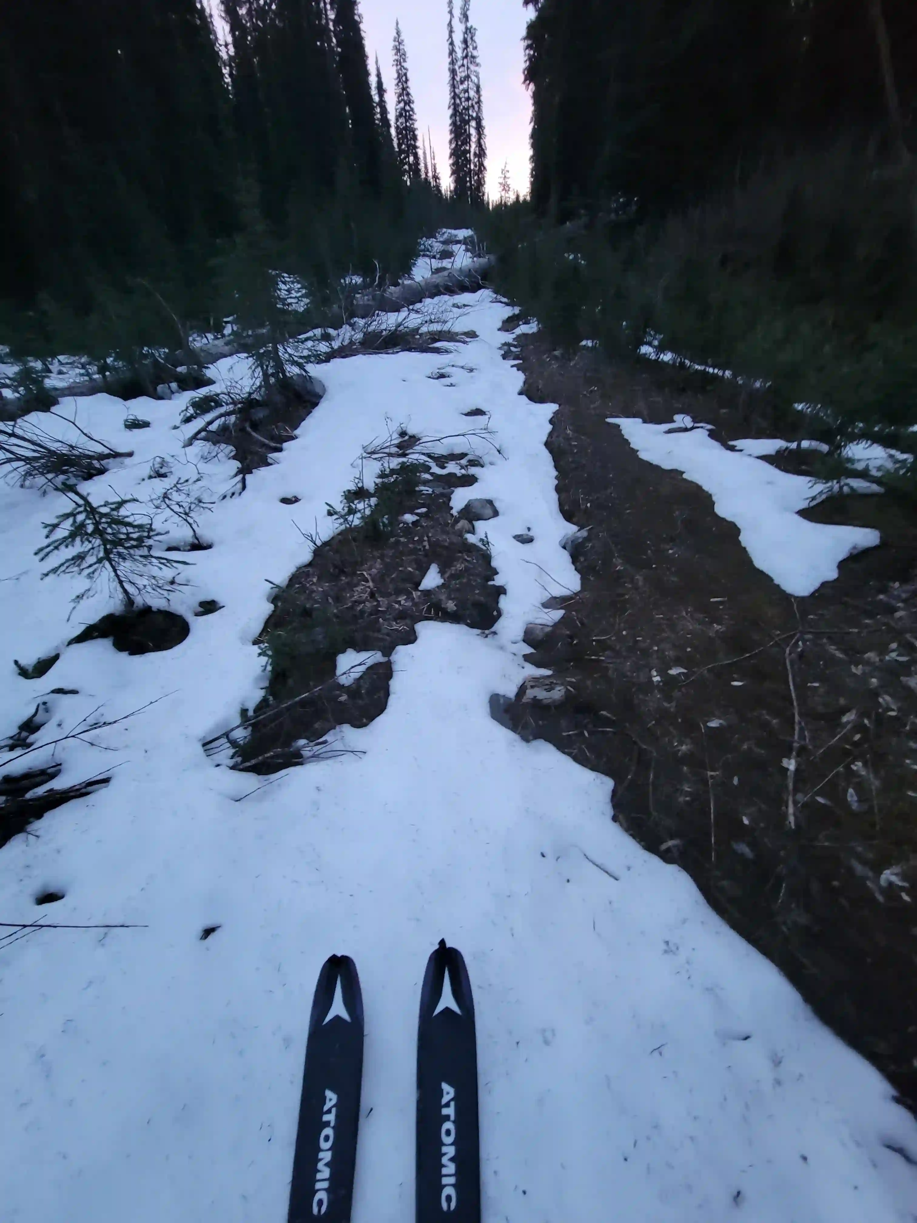
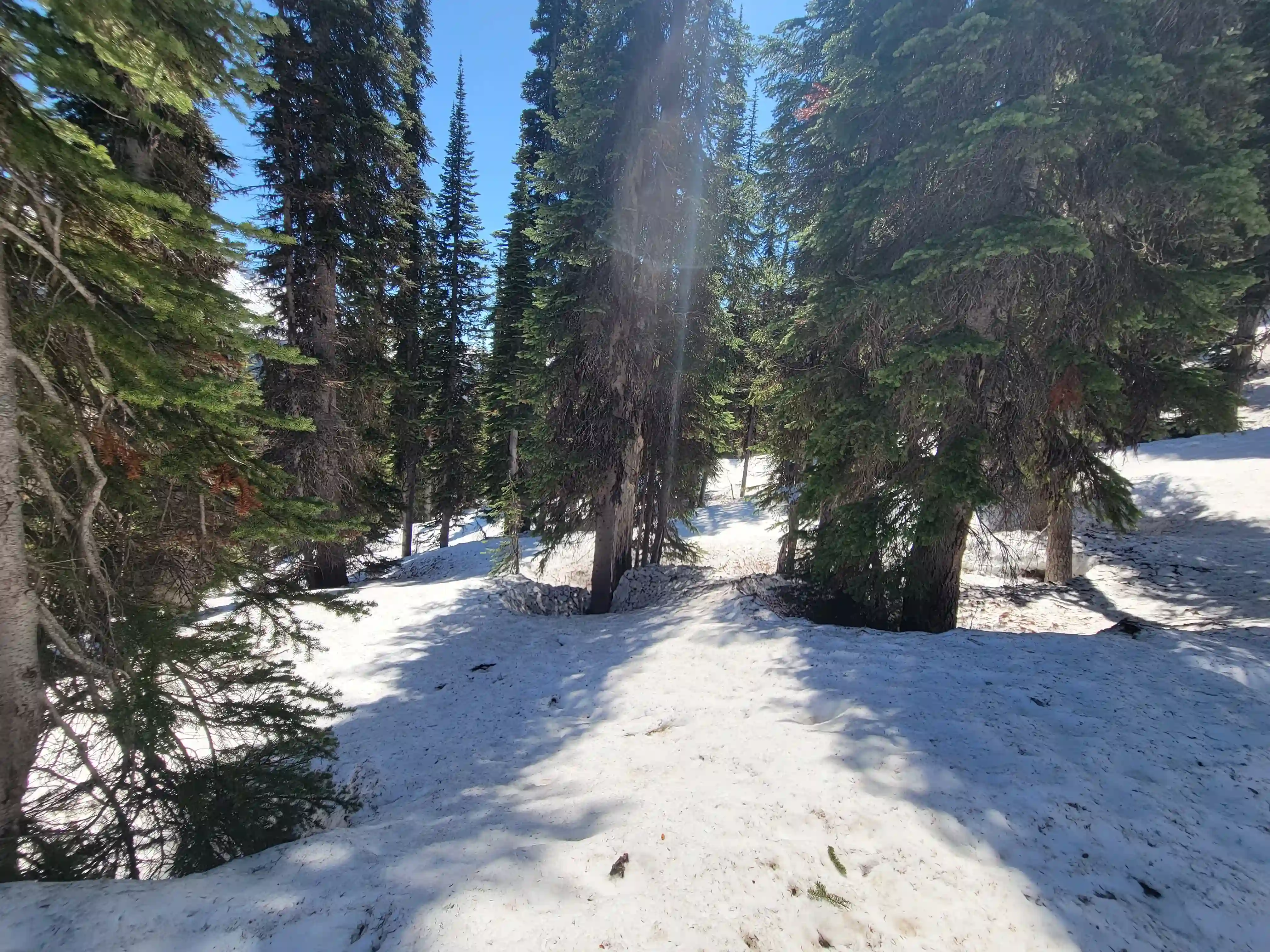
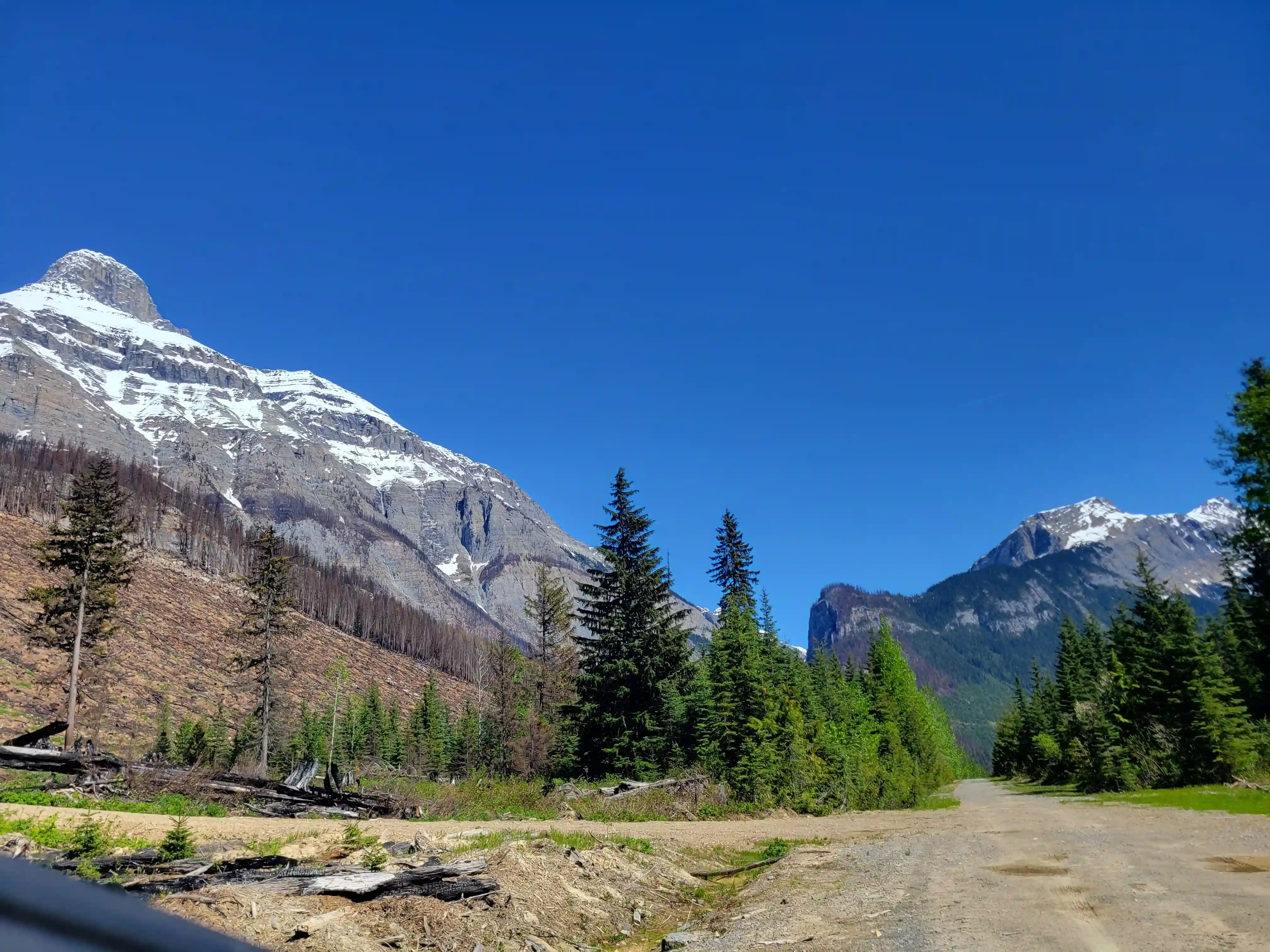
After the initial crossing the old logging road makes for easy travel aside from some alders you have to deal with around
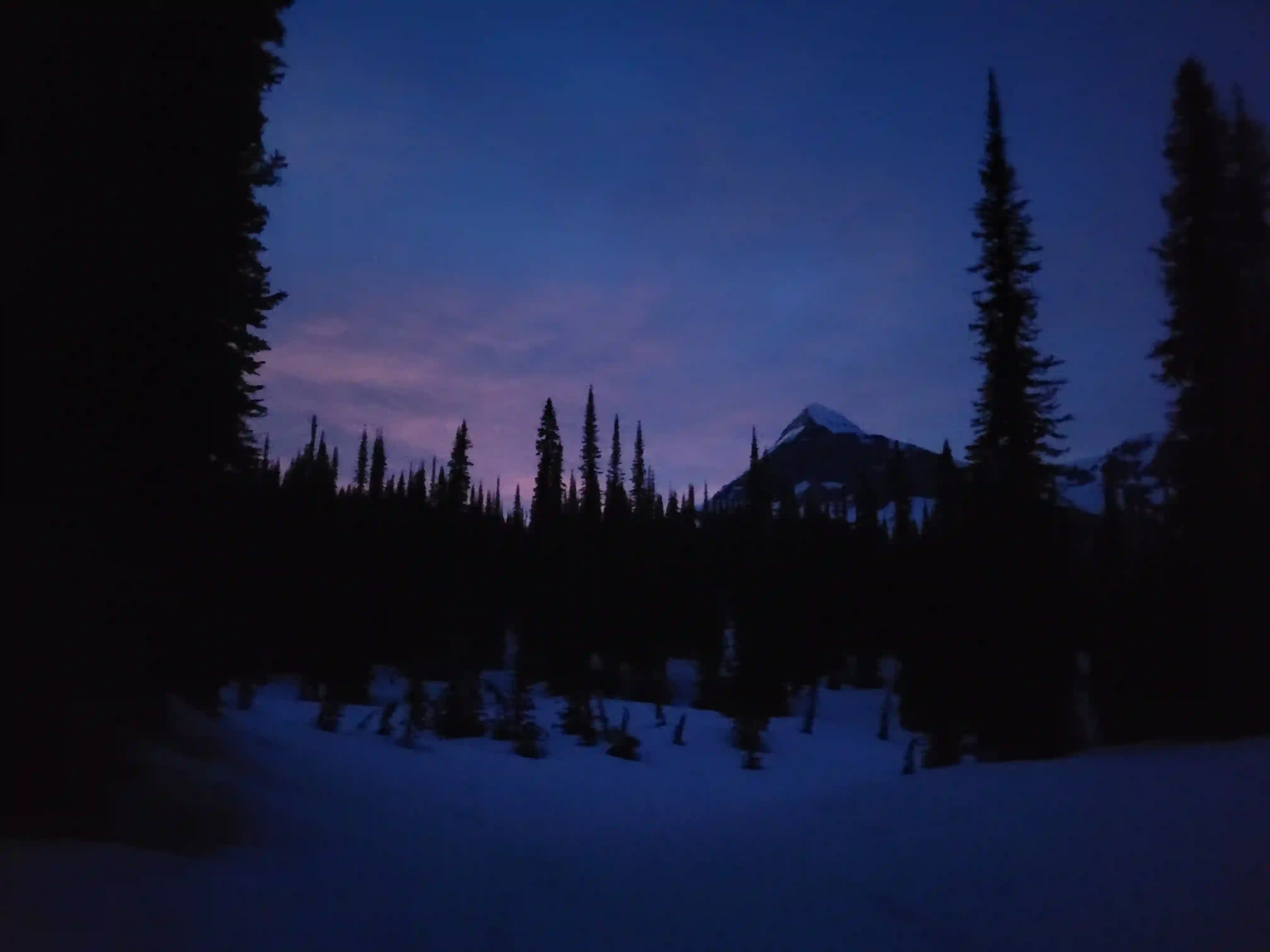
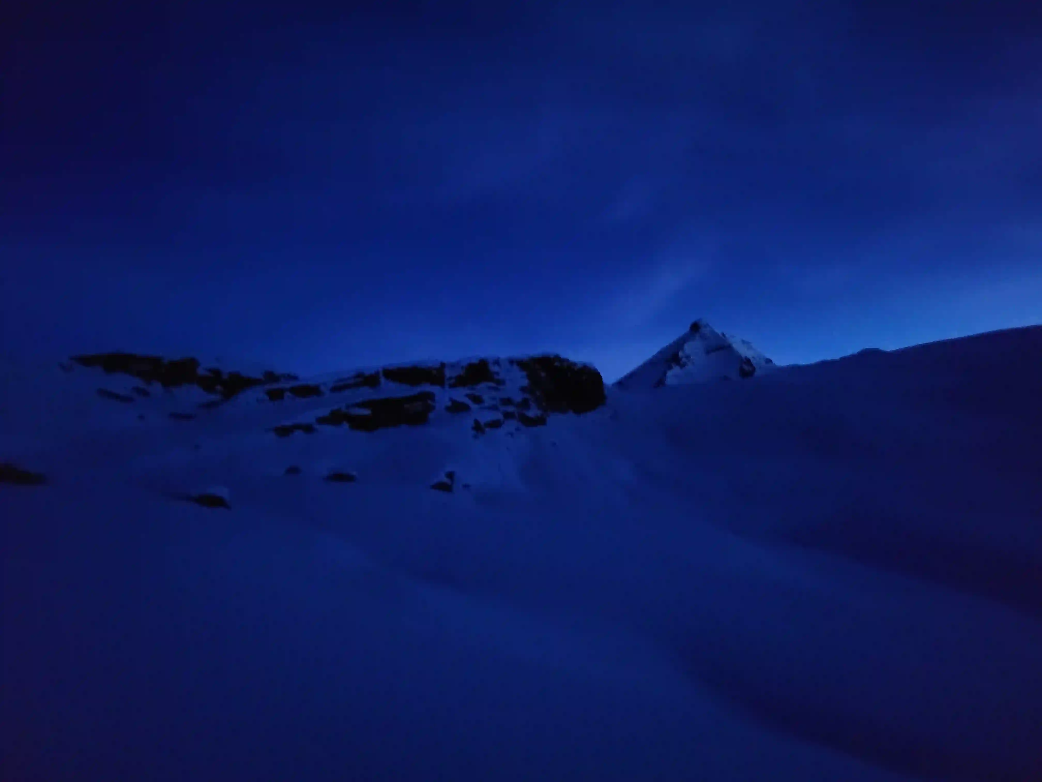
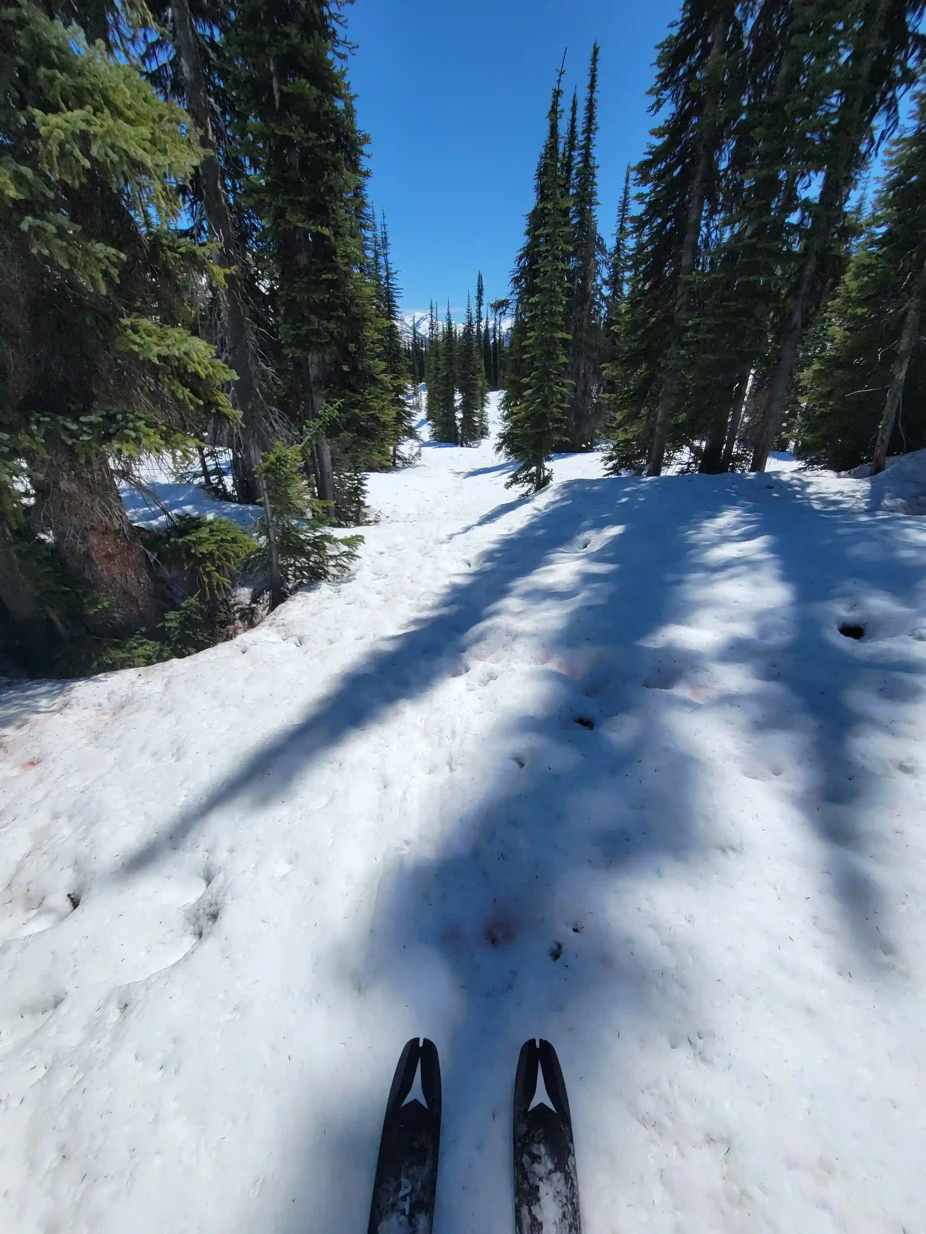
the 2-4km mark. By 4km I was able to don the skis, and once the trail fizzled out due to the snow I followed a
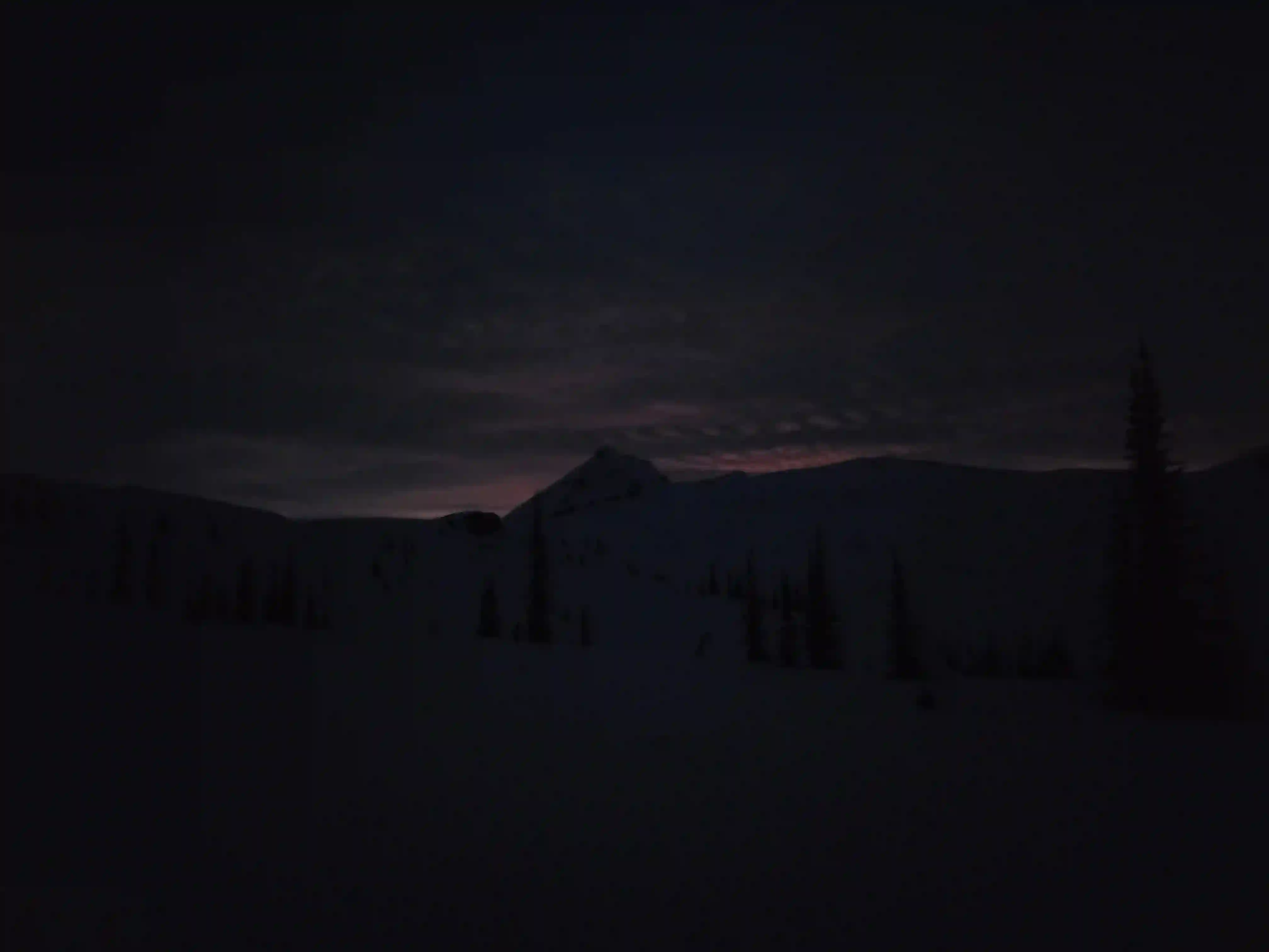
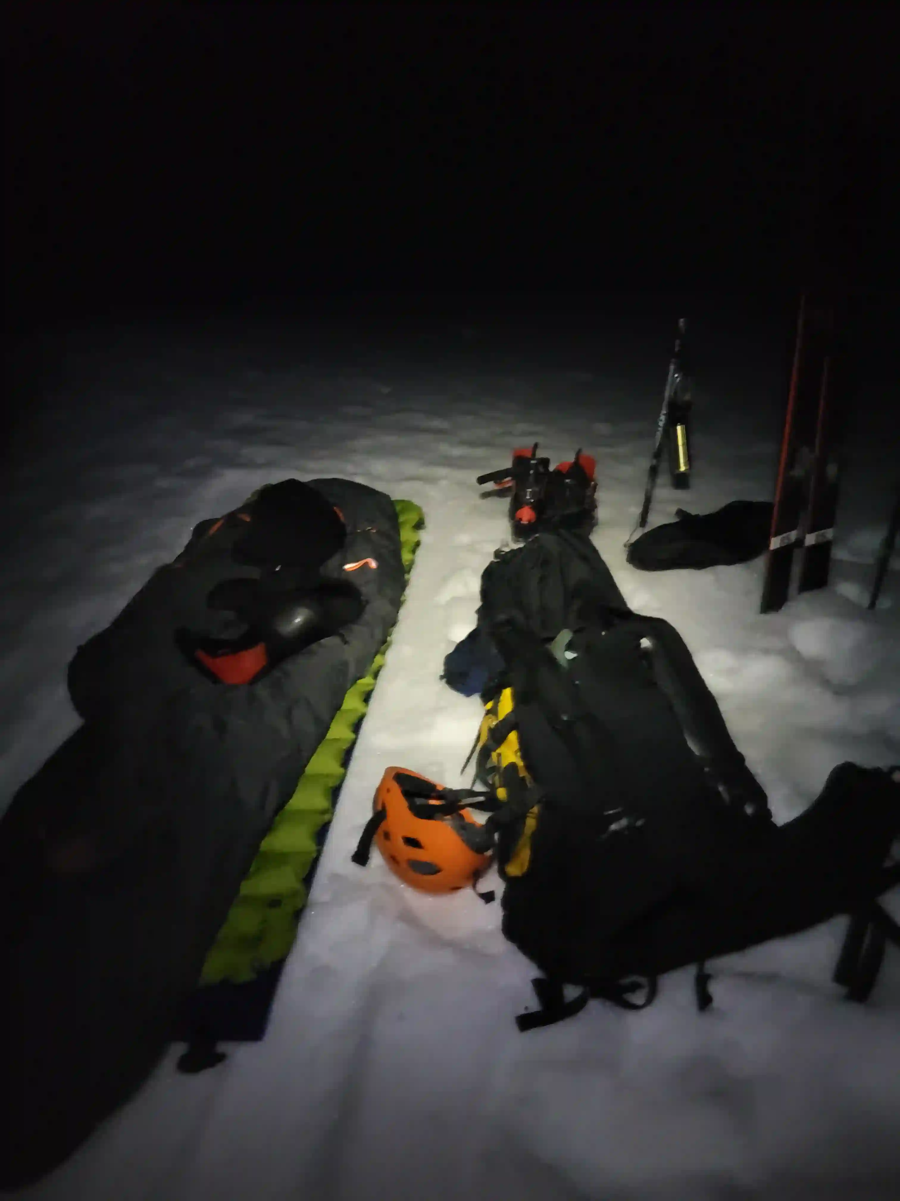
couple GPX files I had downloaded until I reached a nice treeline spot to camp. I reached camp 3 hours after I started and was able to see the
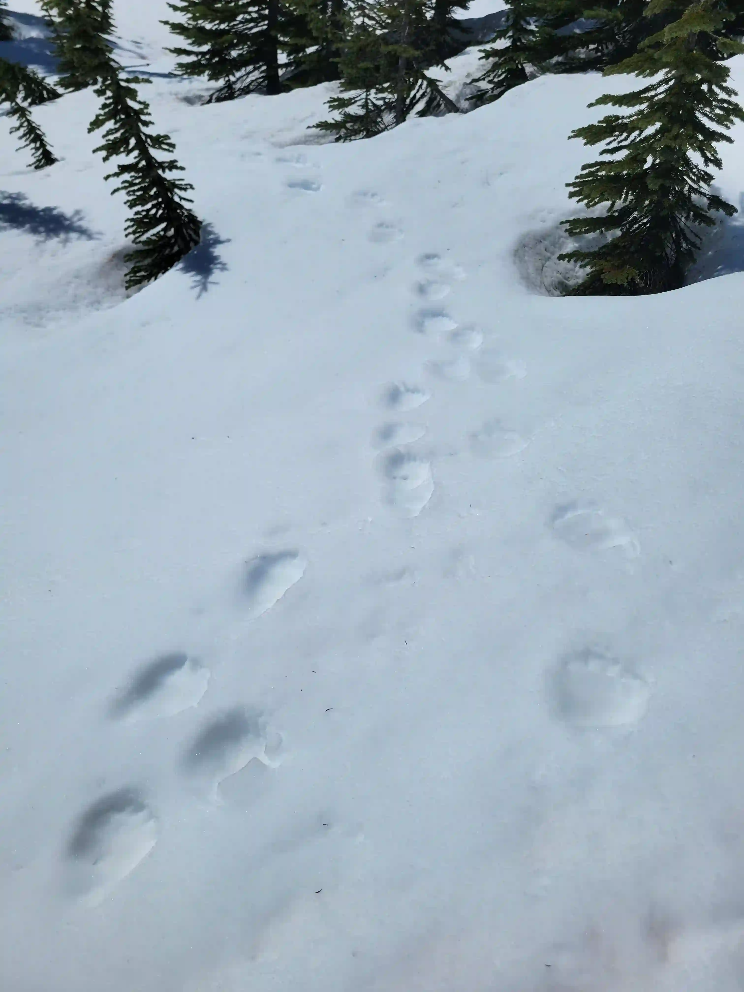
objective so it seemed like the perfect place, especially since I wanted to be out of the dense trees while solo to
avoid the bears. Before my trip Foresty Forest had told me that they camped near the river and a bear destroyed his tent while they were out on the mountain so I definitely wanted to avoid that.


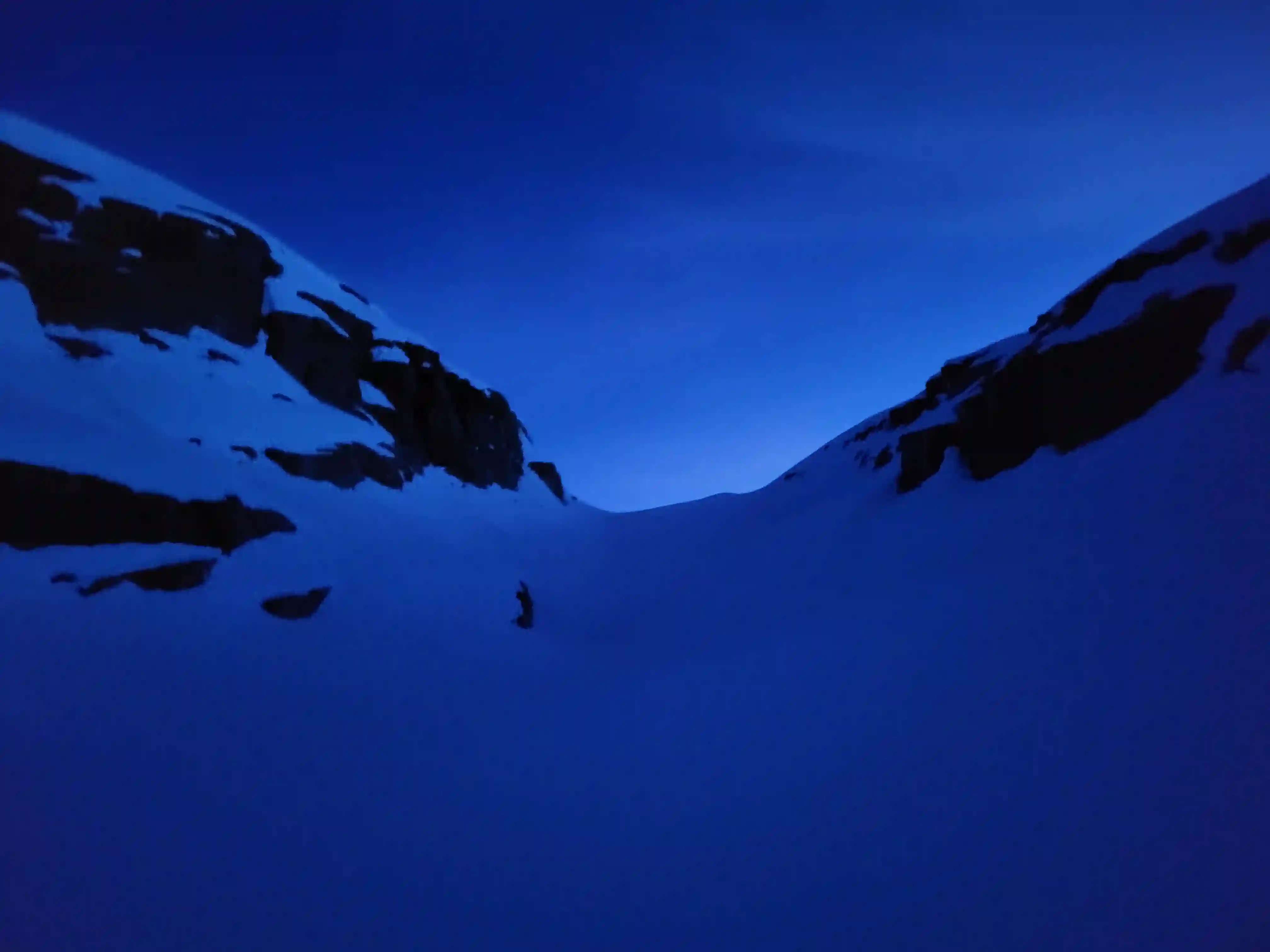
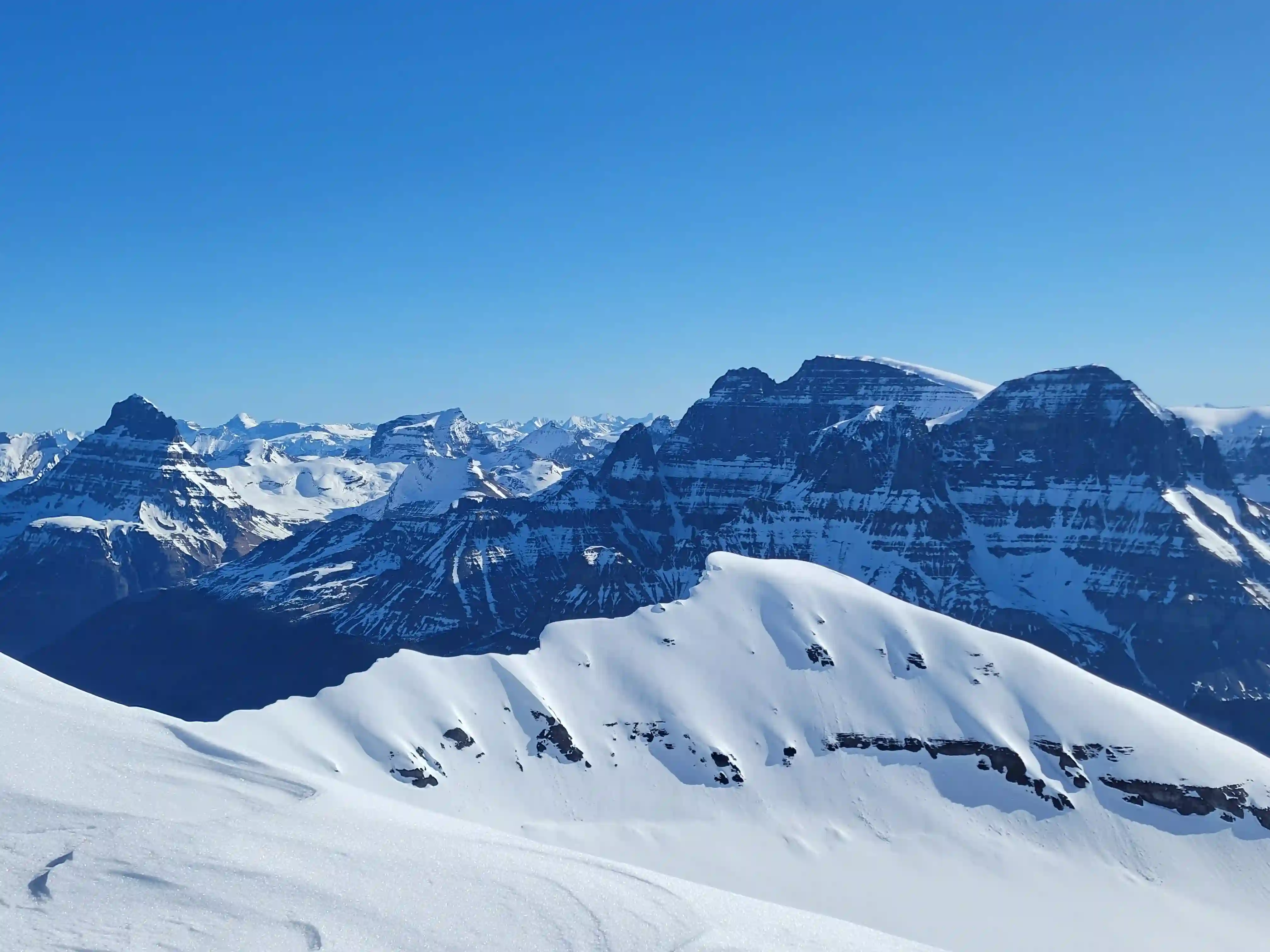
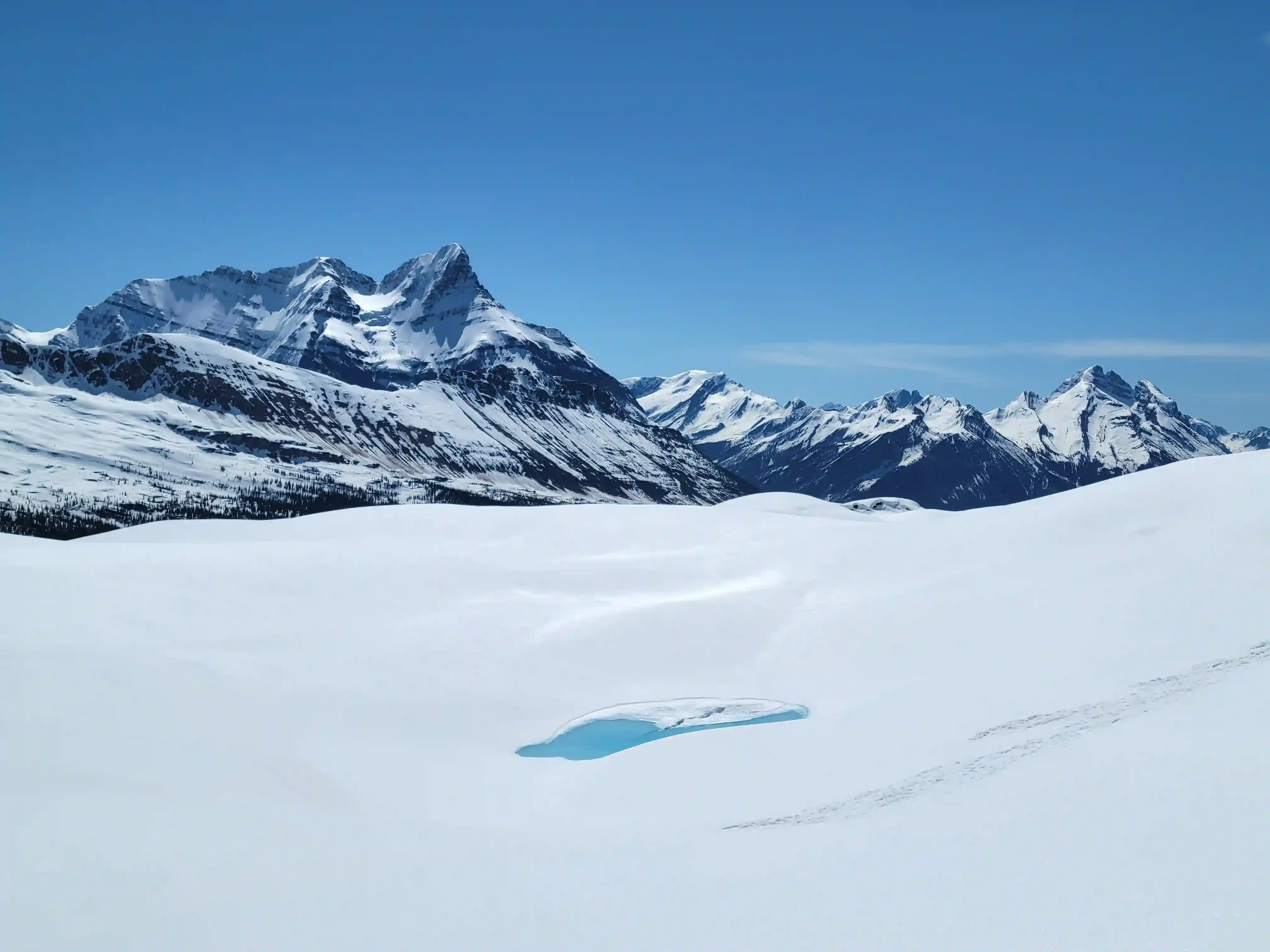
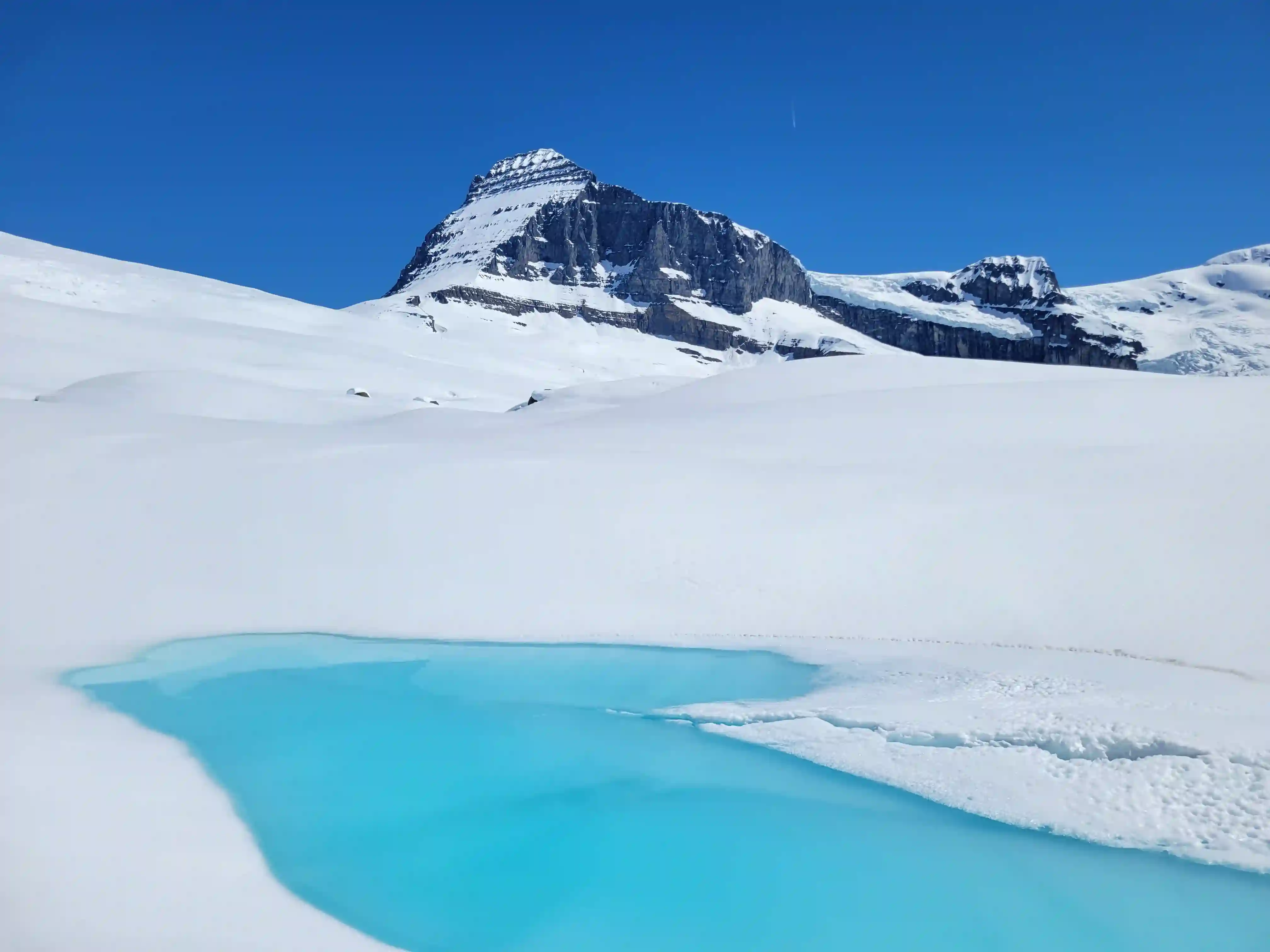
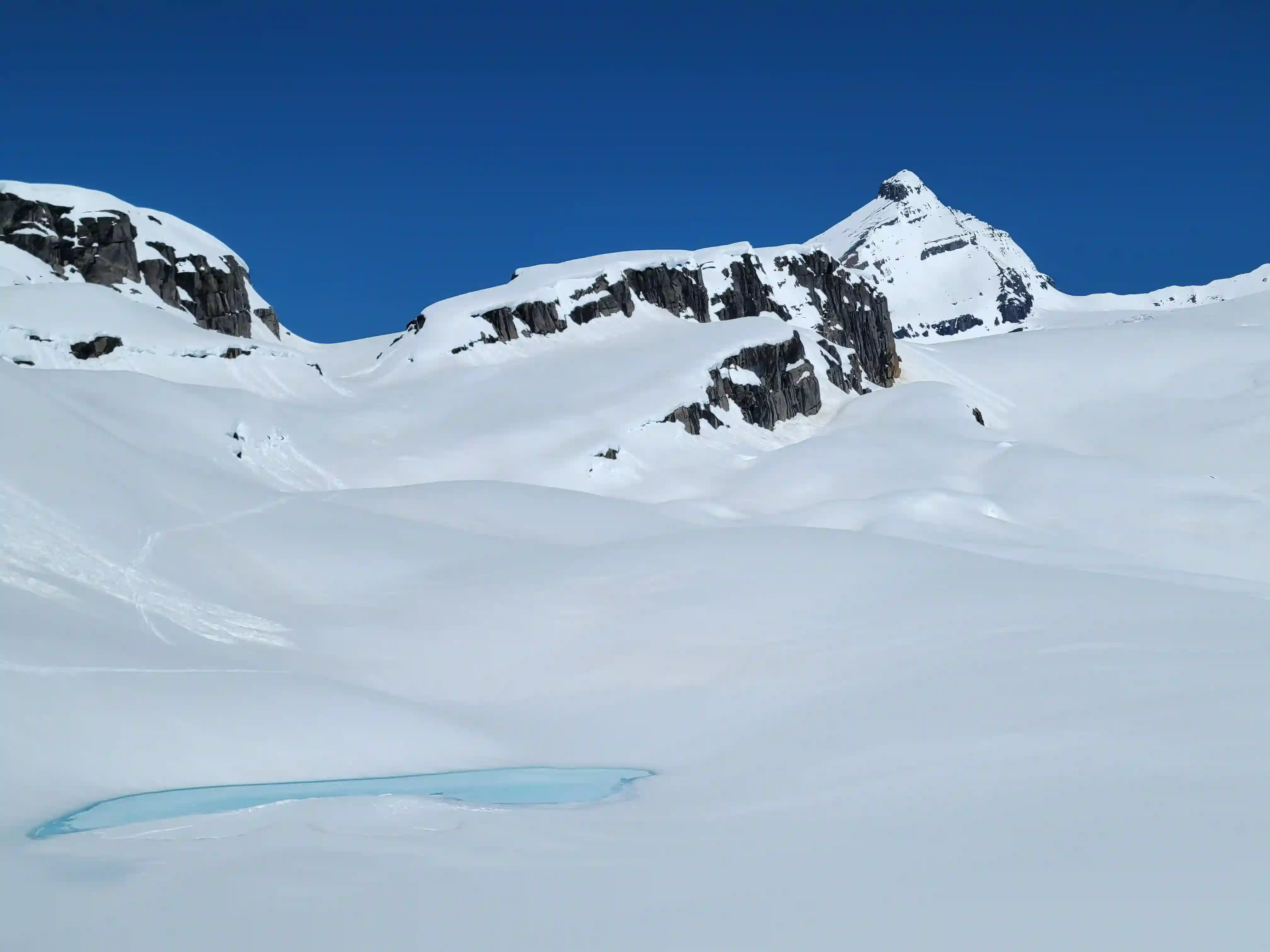
THE APPROACH

for the 3 cols approach to Alexandra on the right
THE CLIMB
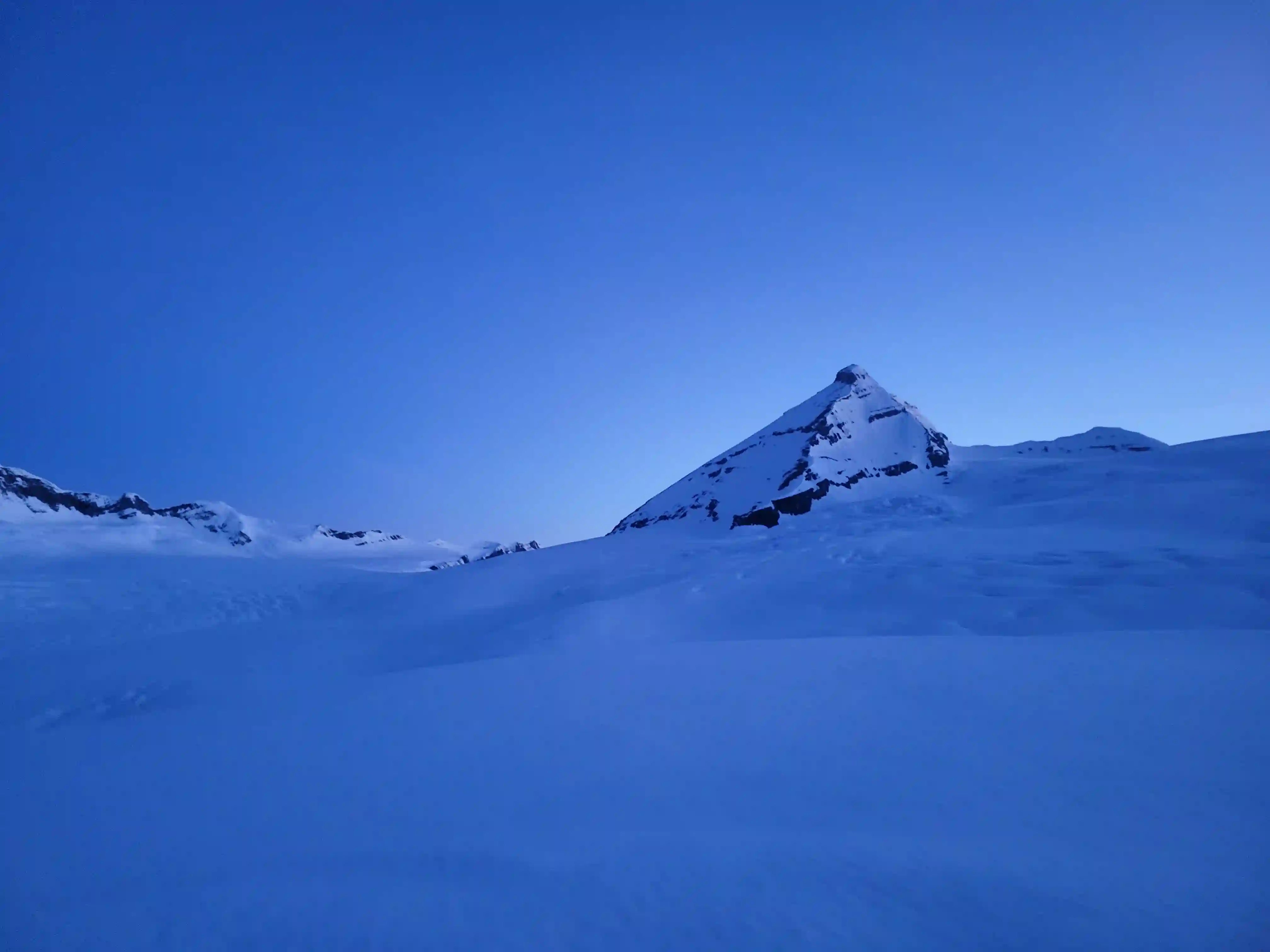
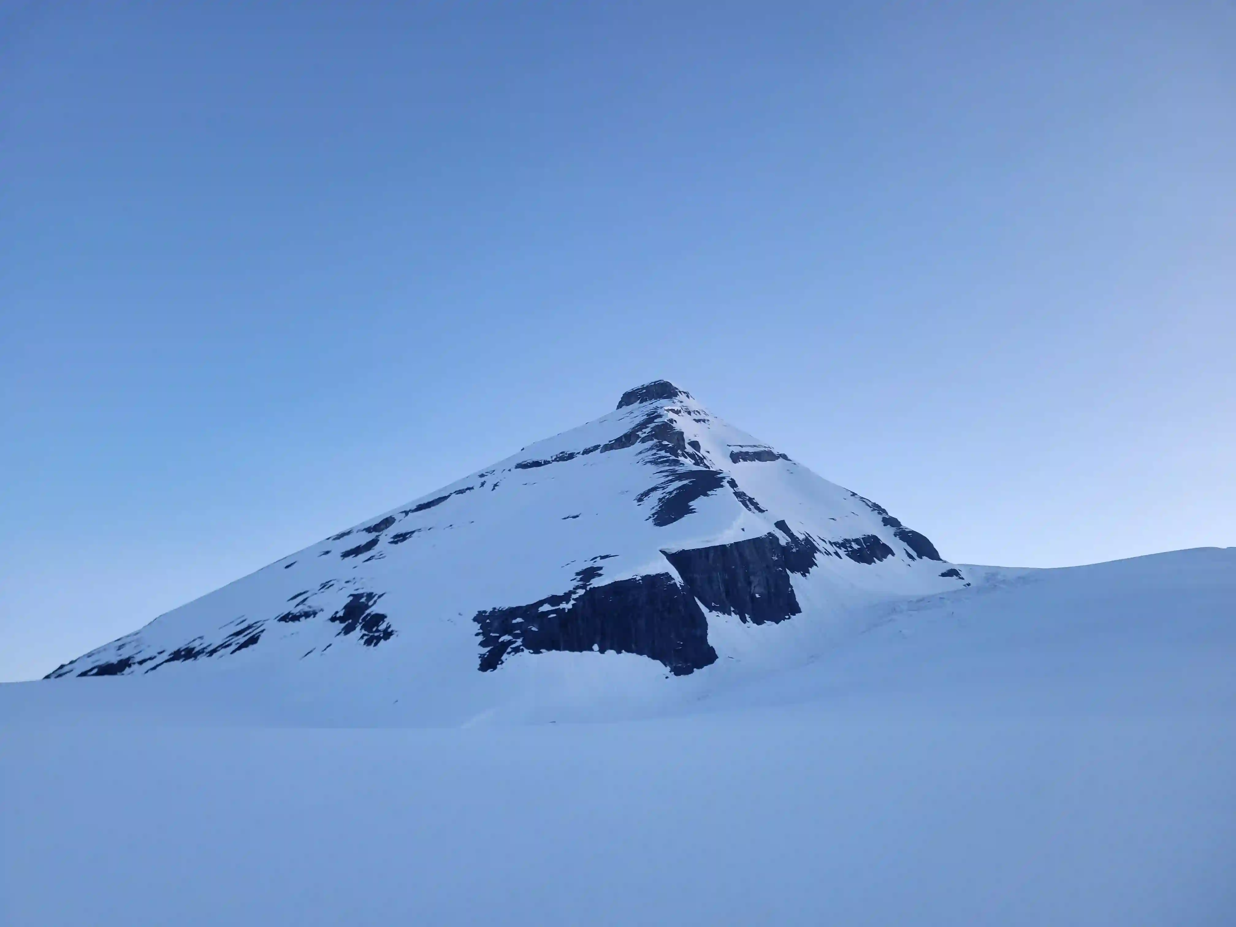
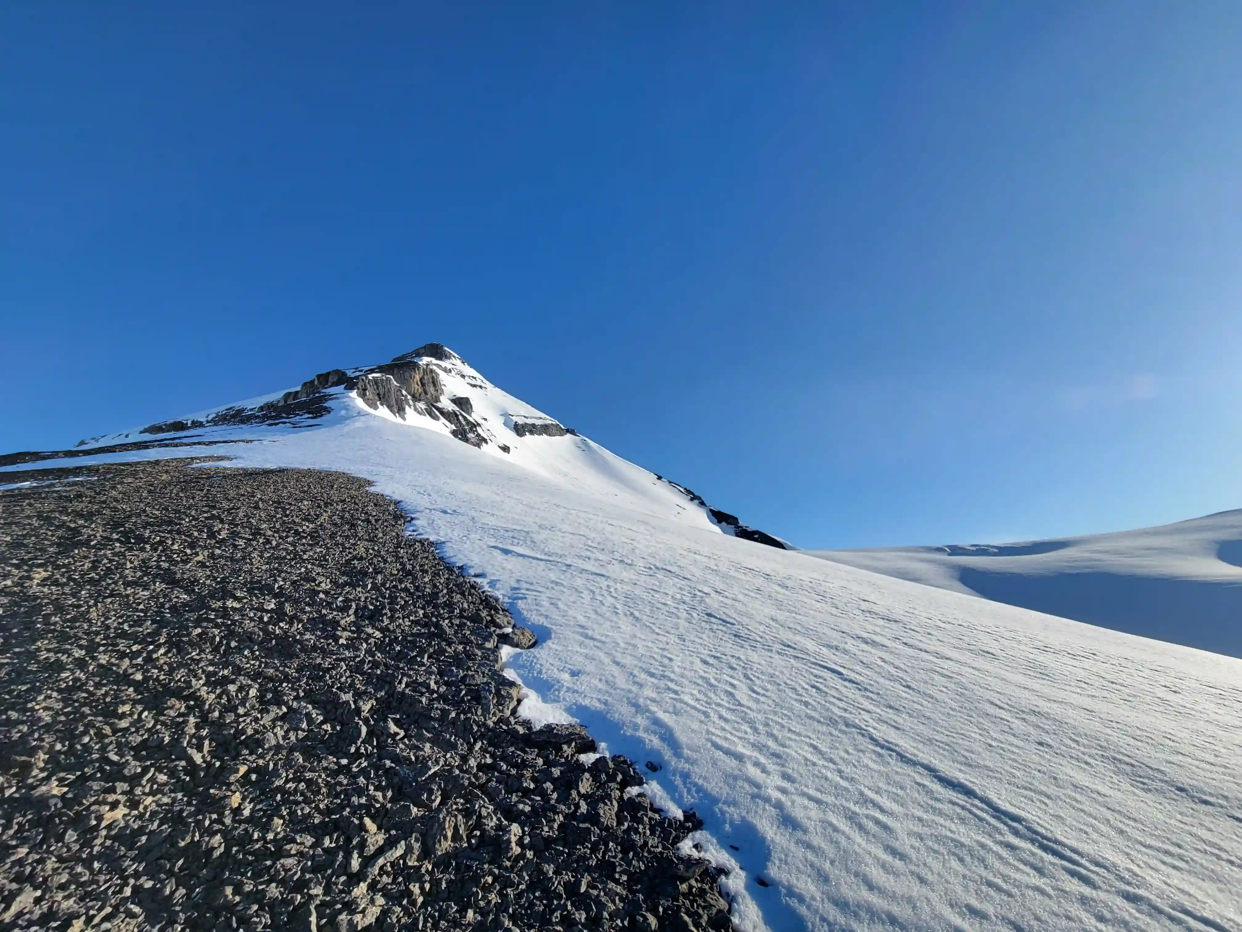
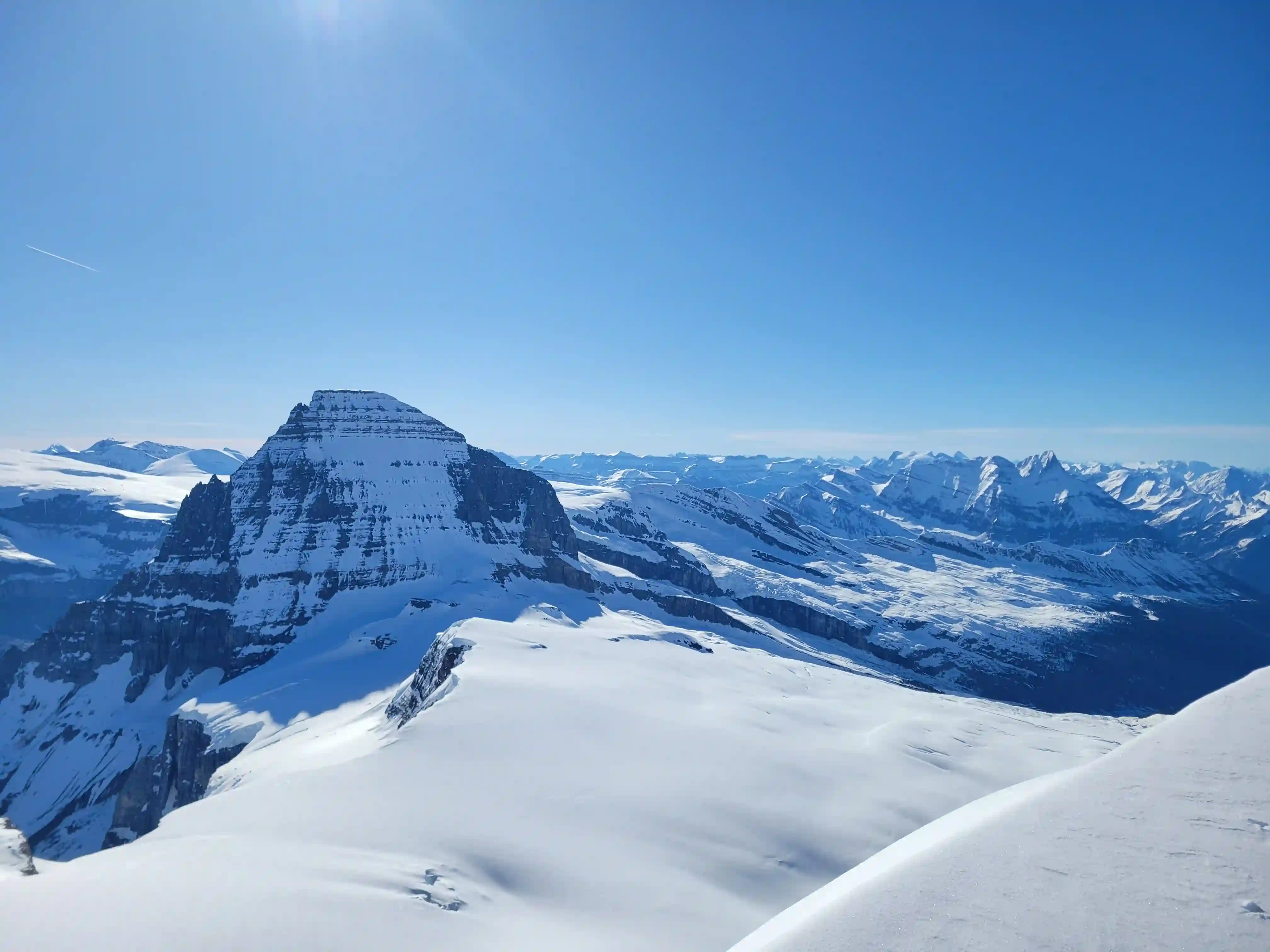
After a short sleep I was moving by 3:30am, reached the base of the mountain by 6am, and reached the summit by 9am.
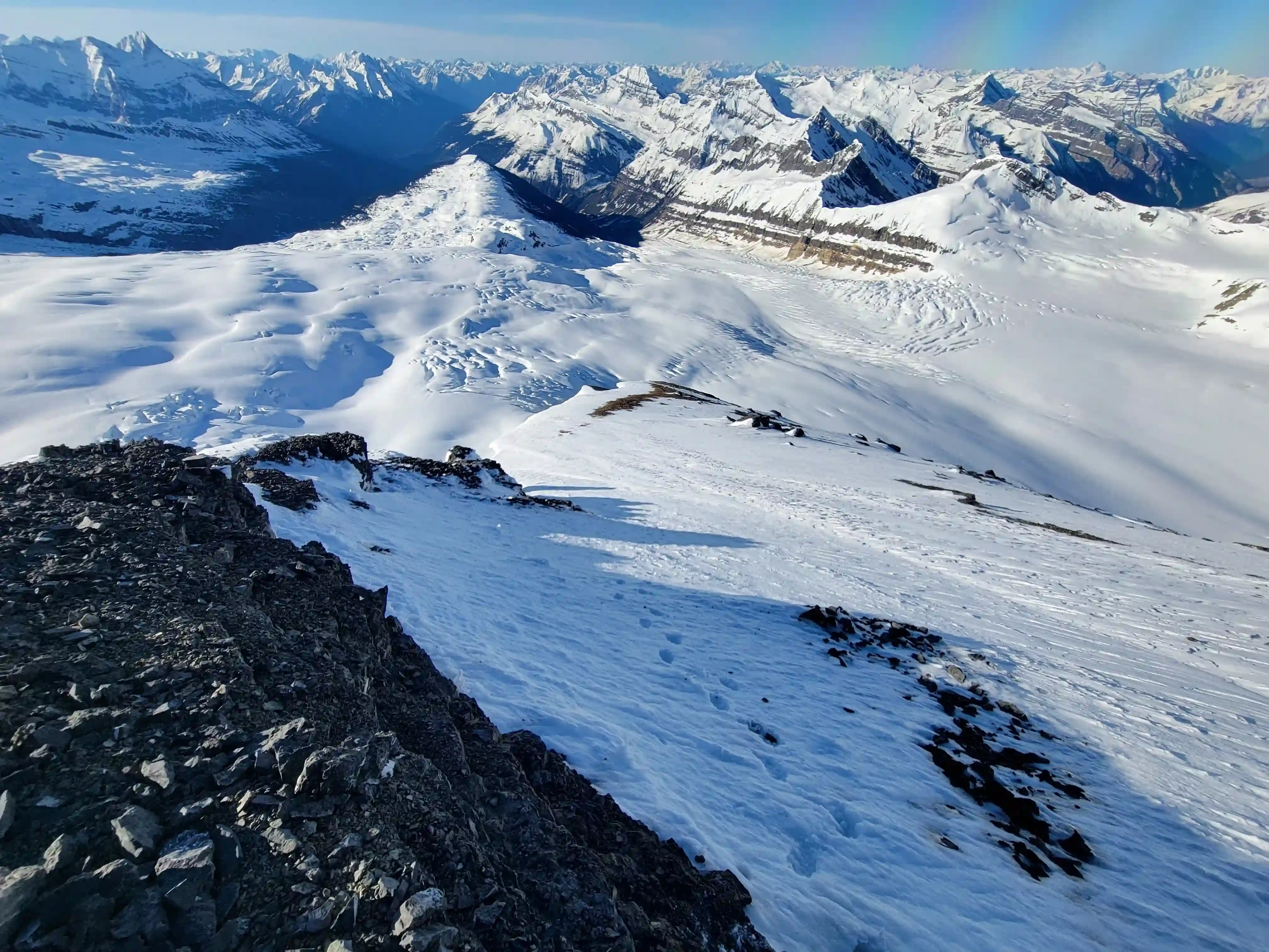
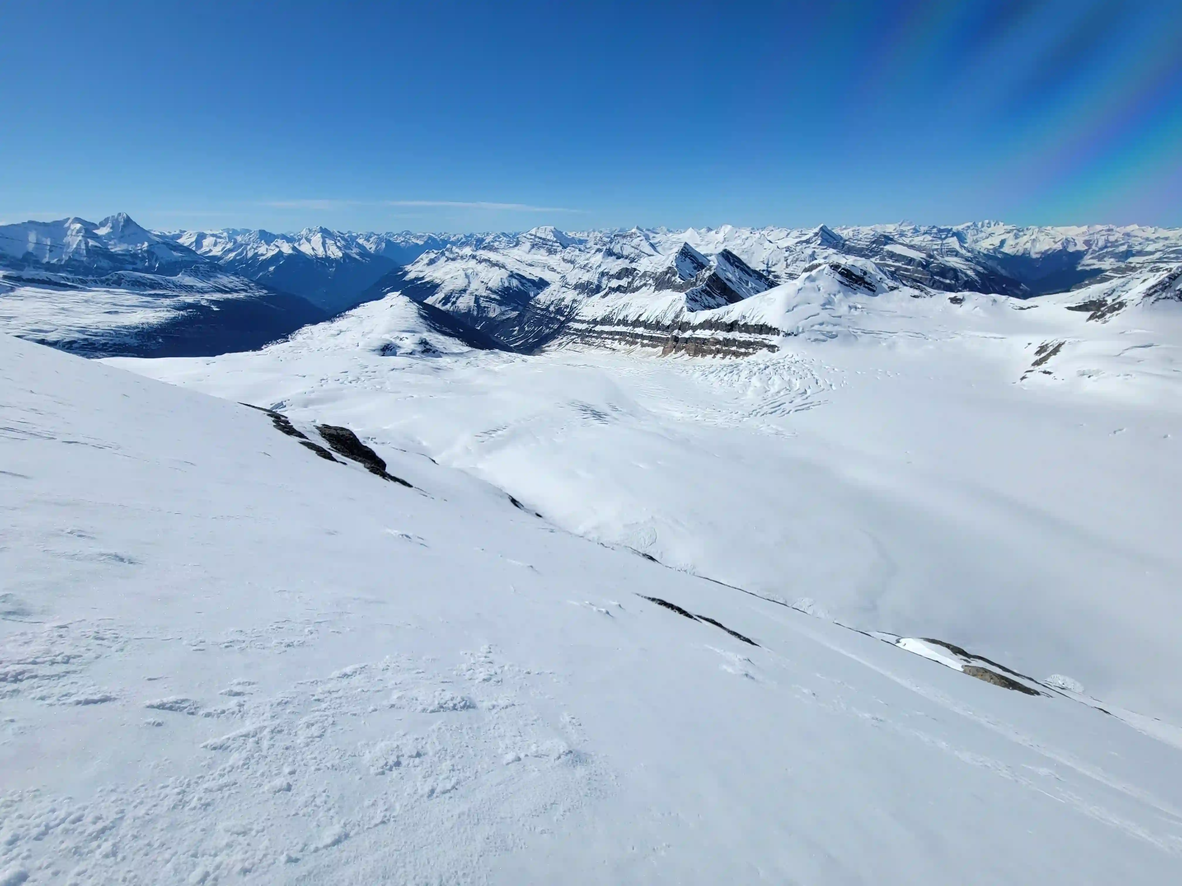
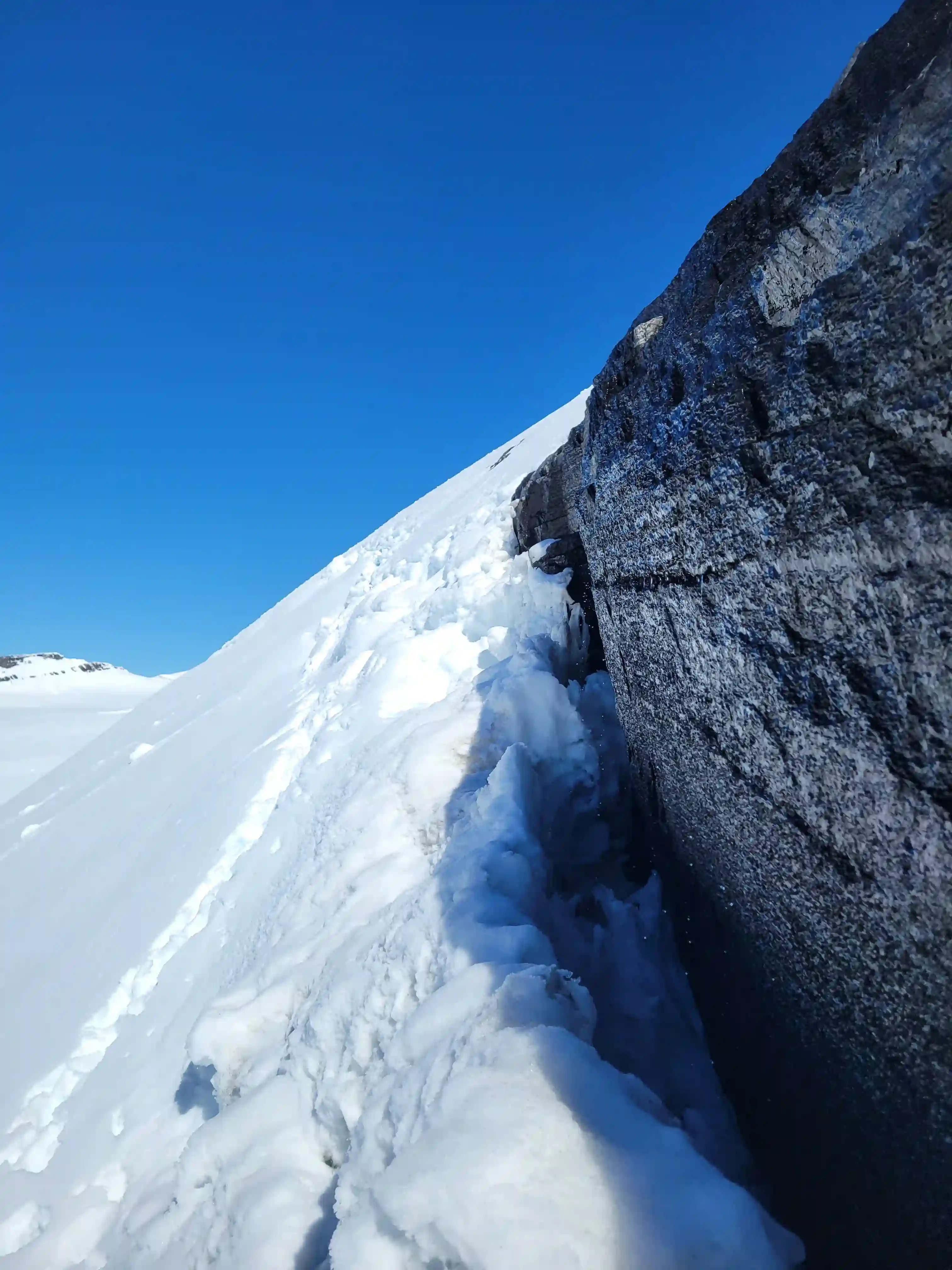
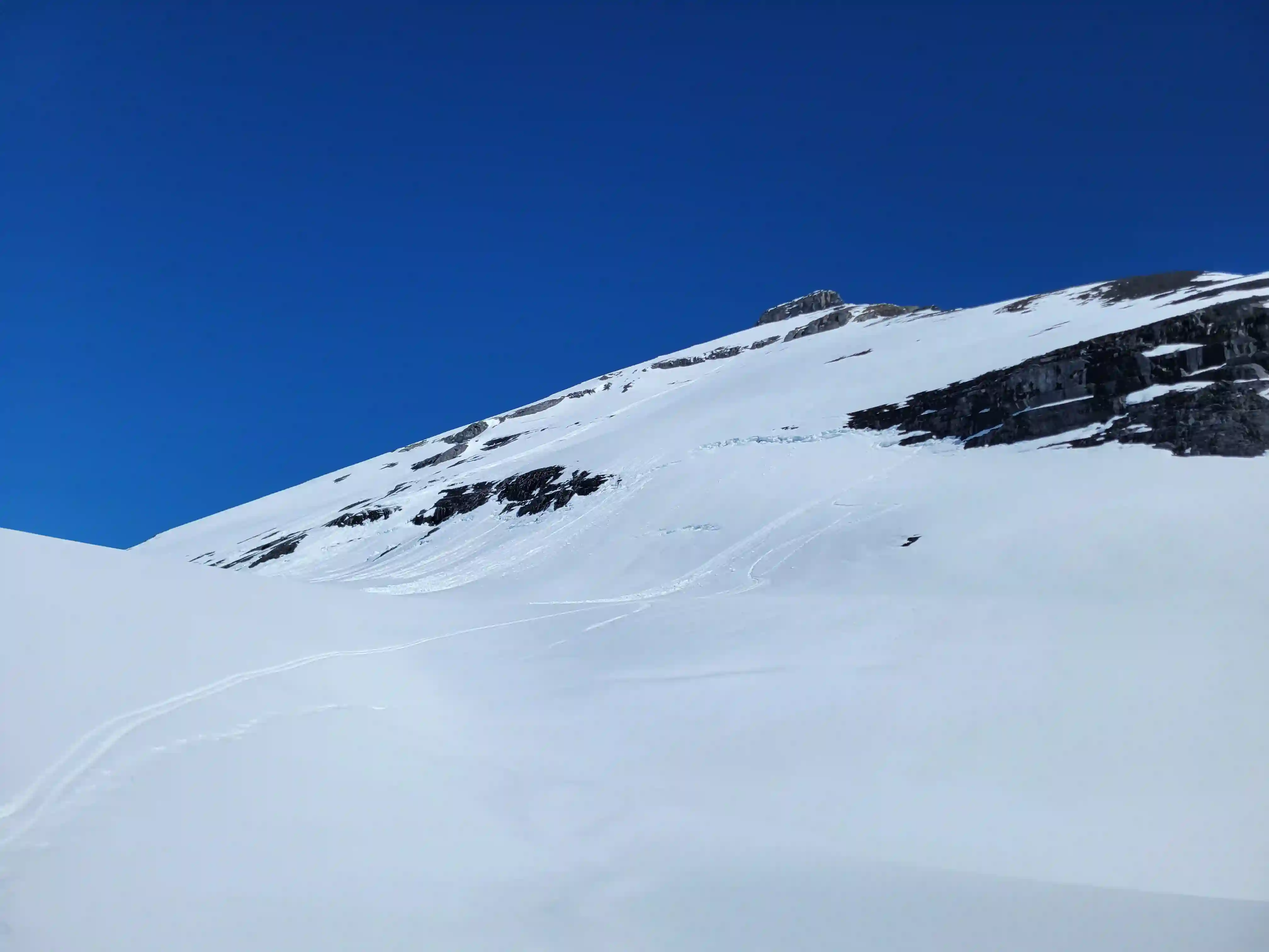
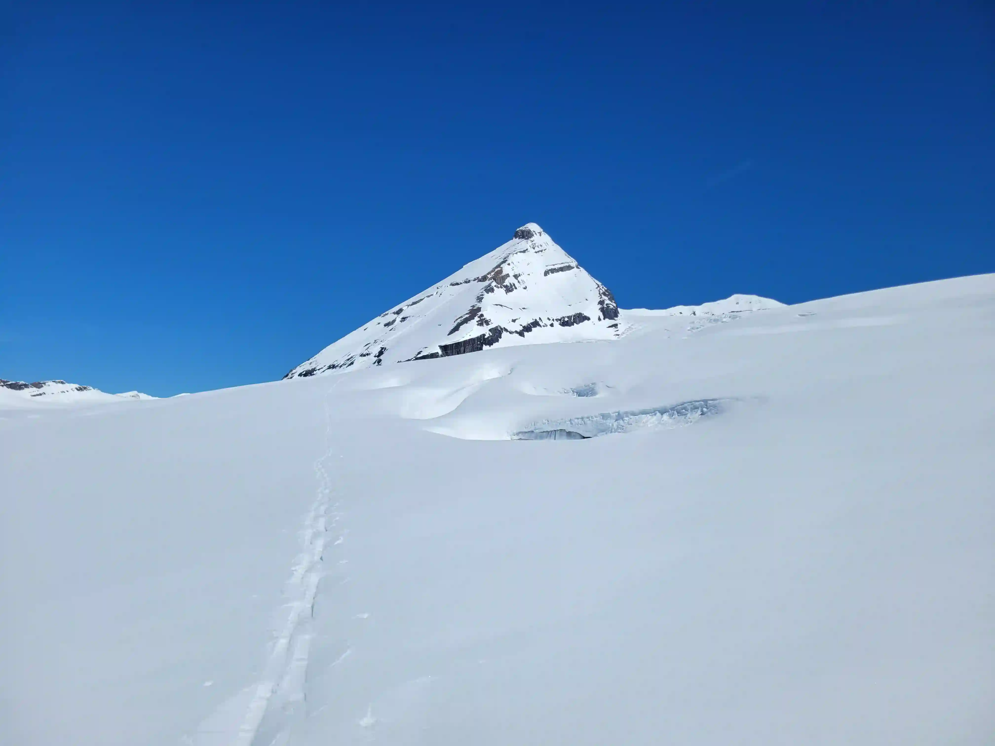
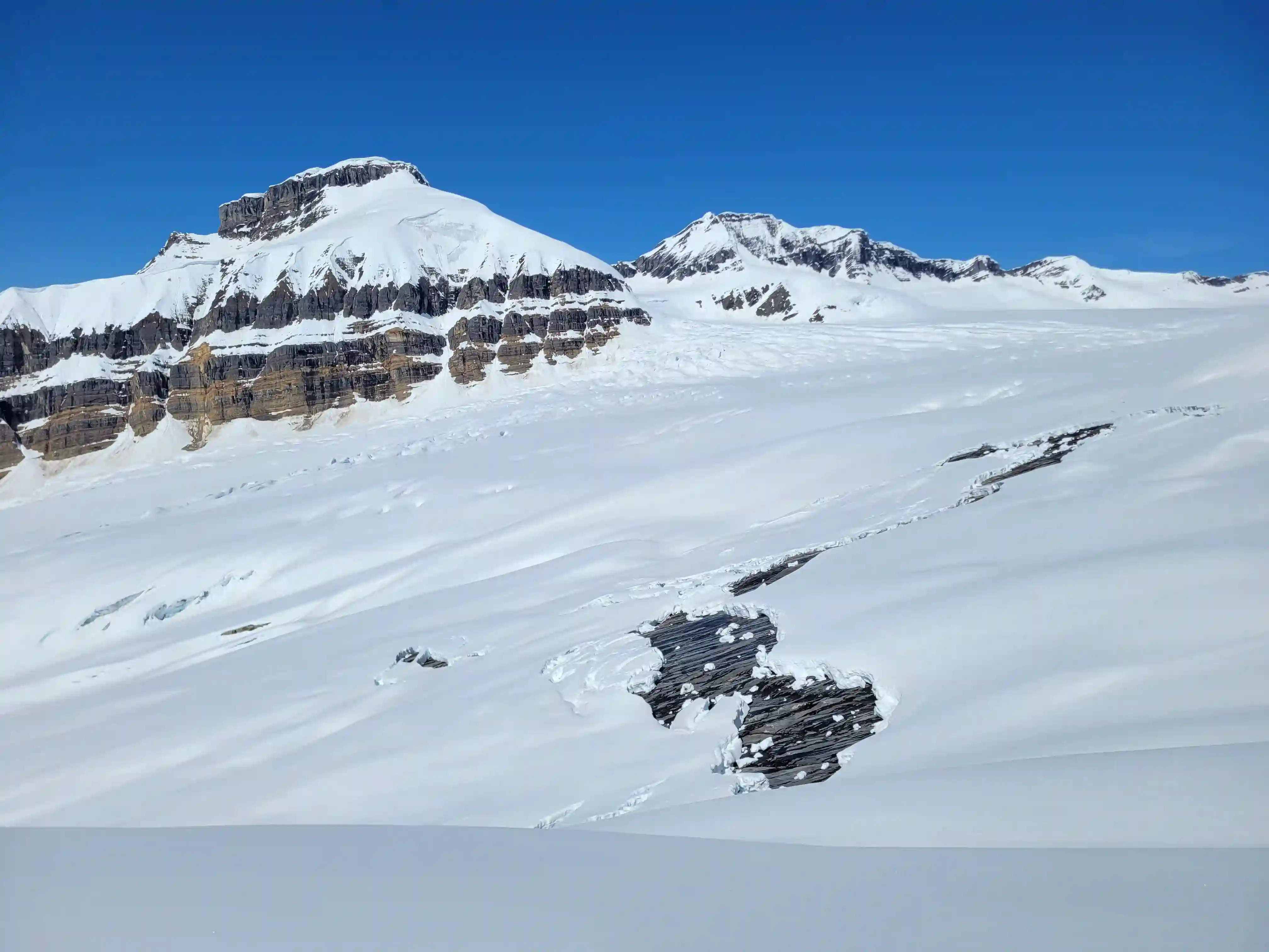
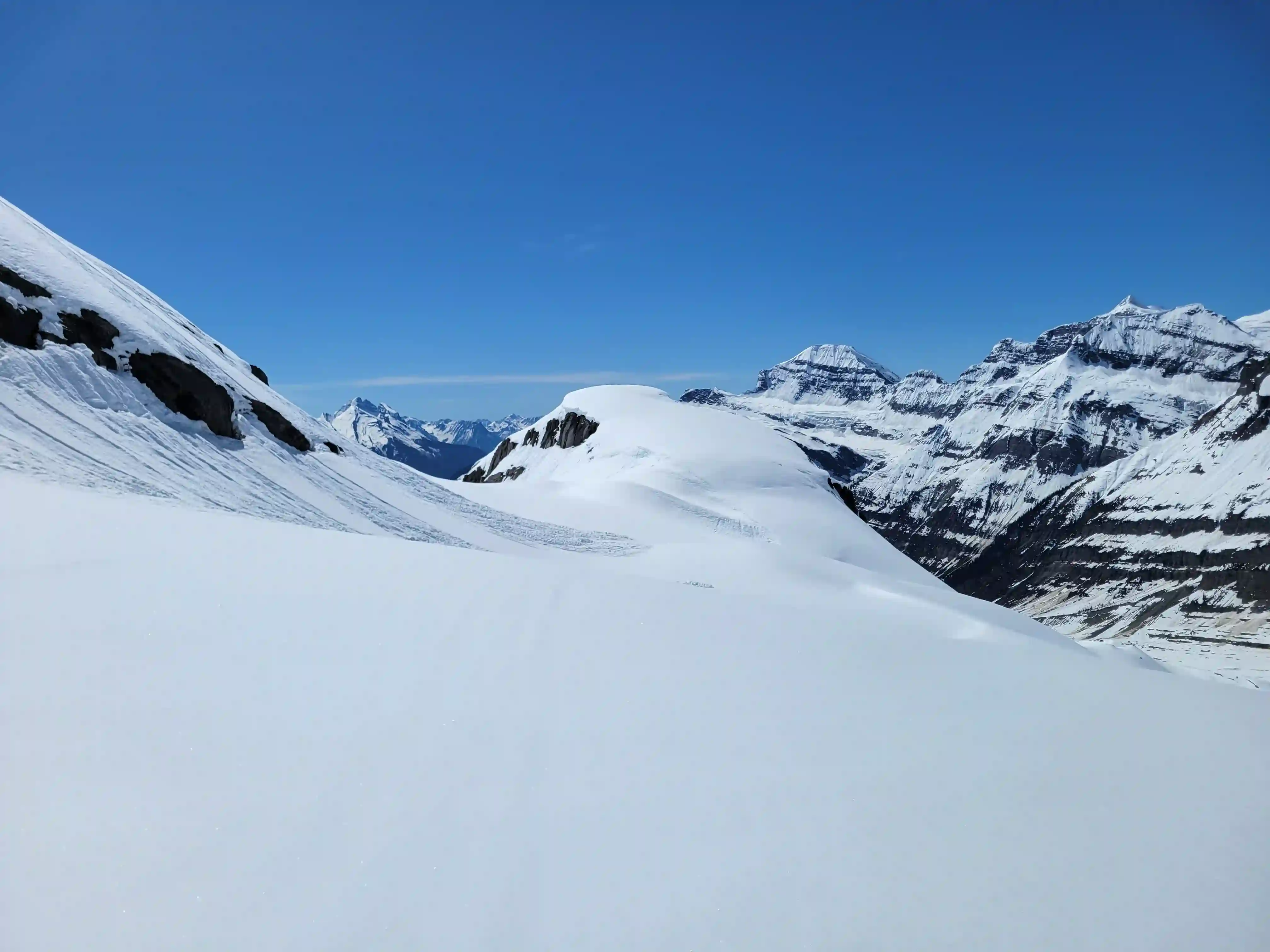
I opted for the least crevassed terrain on the glacier since I was on my own so the line I took went around a small rocky high point south of King Edward
to the left before gaining it and continuing on to the base of the mountain with a general left trend as the further right you go on the glacier
the more serious the crevasses get.
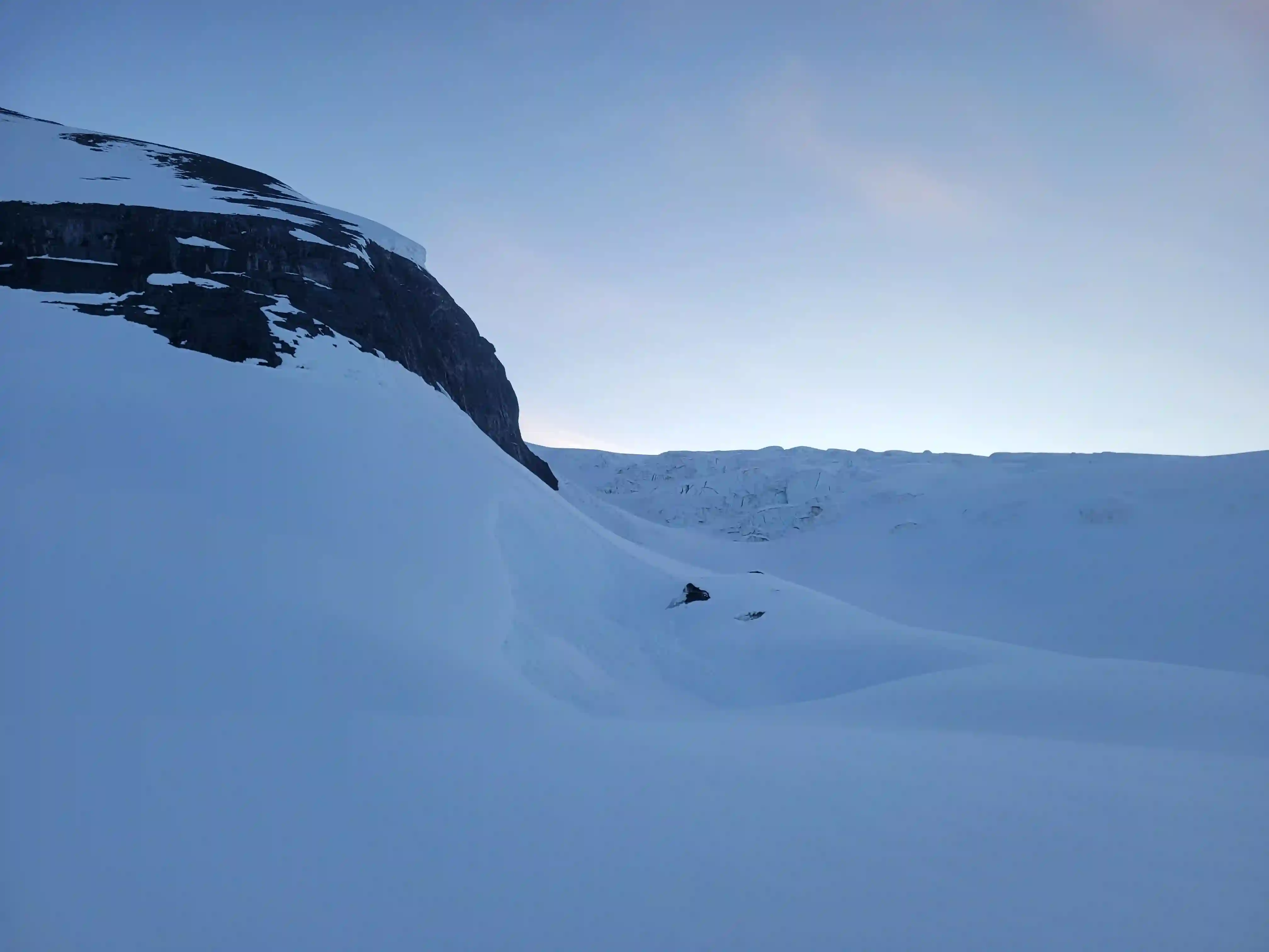
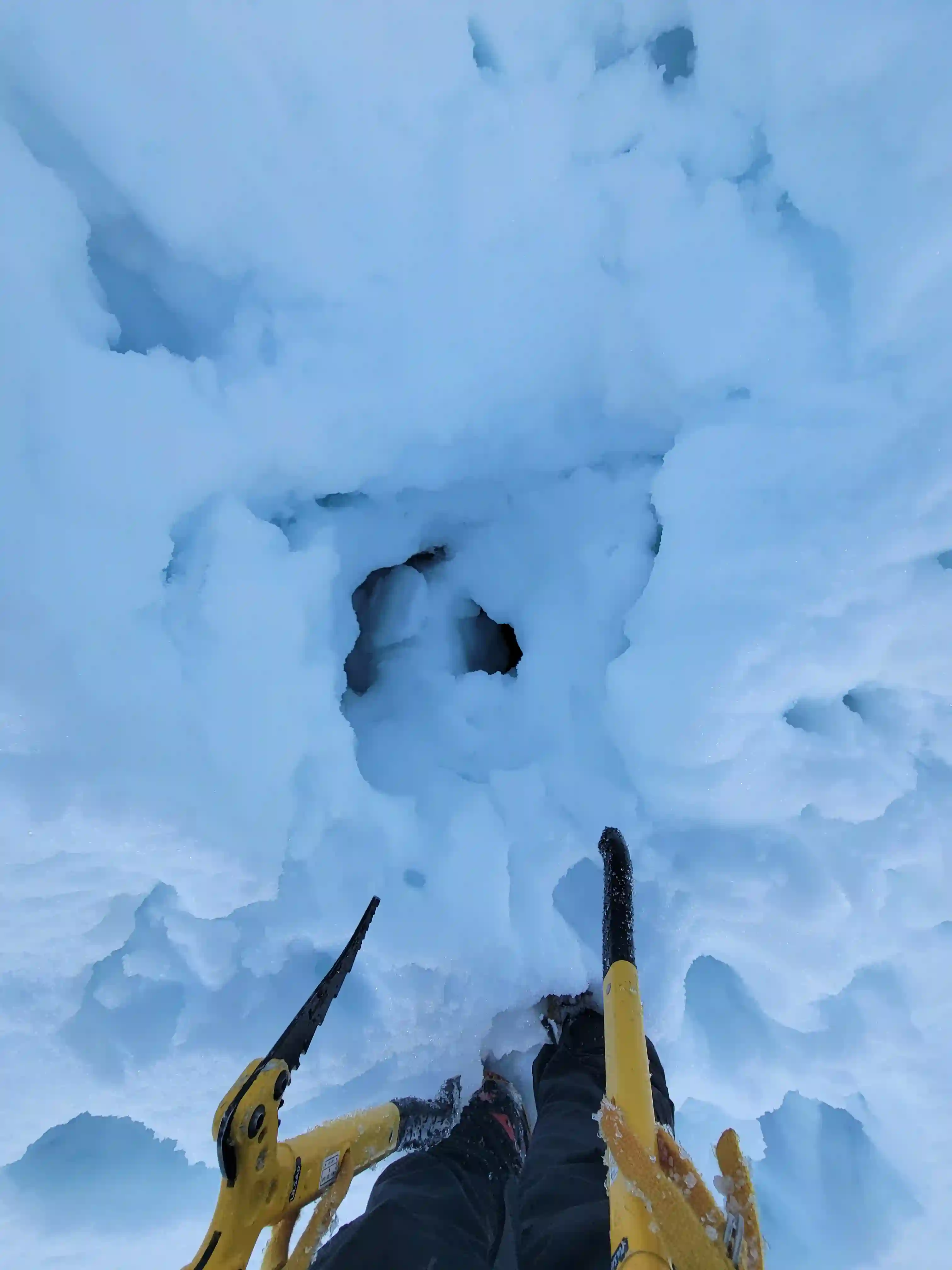
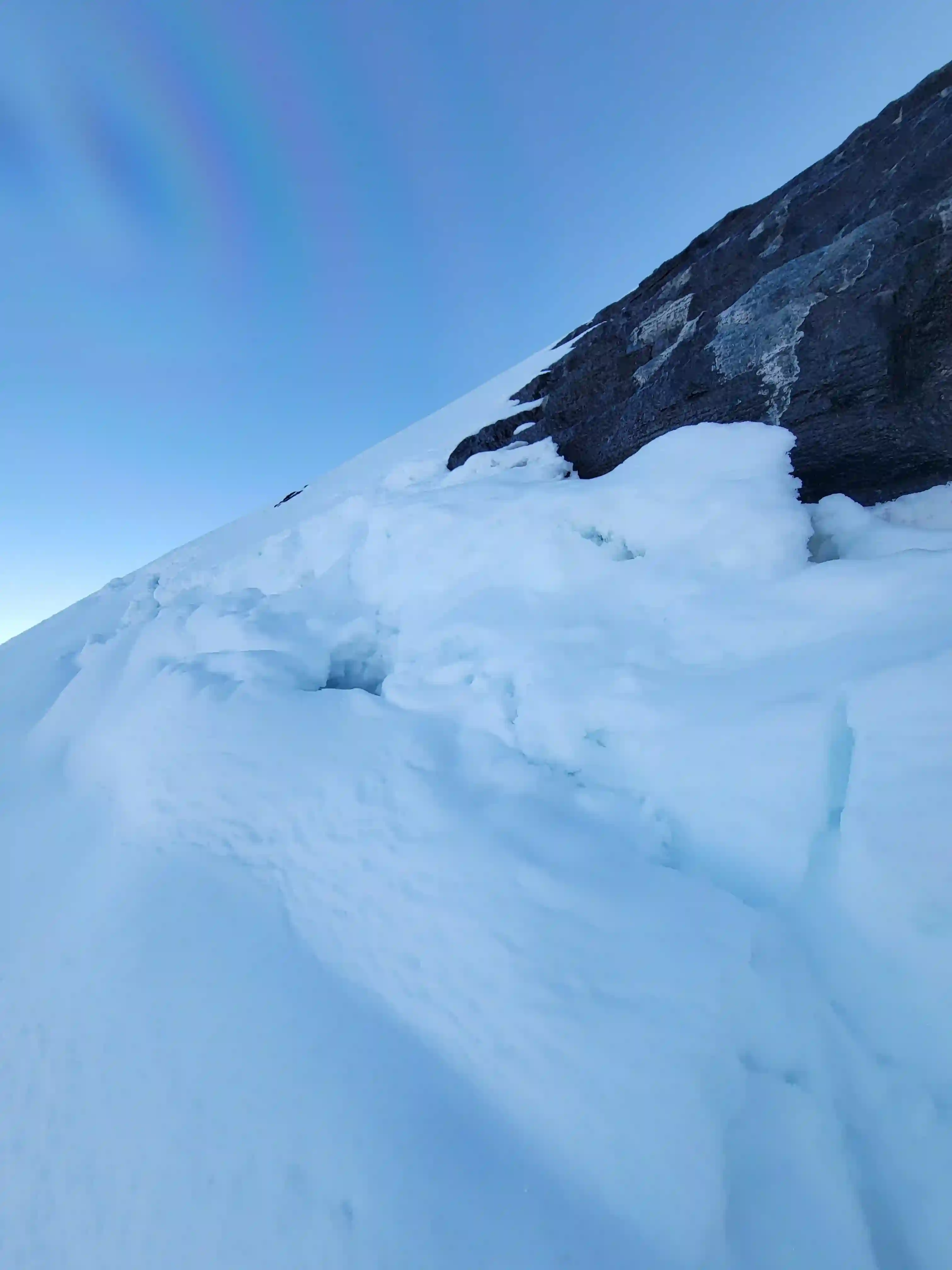
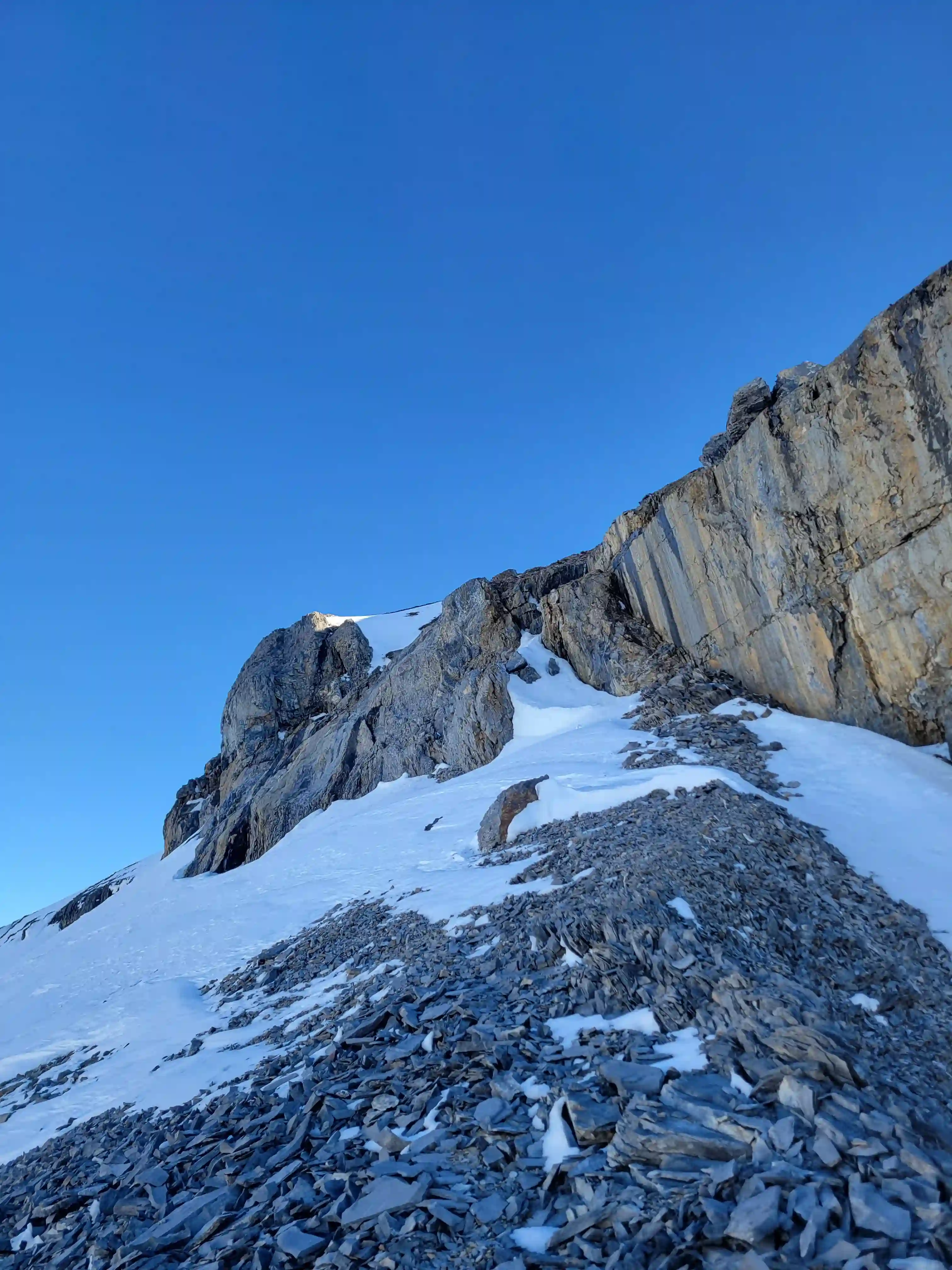
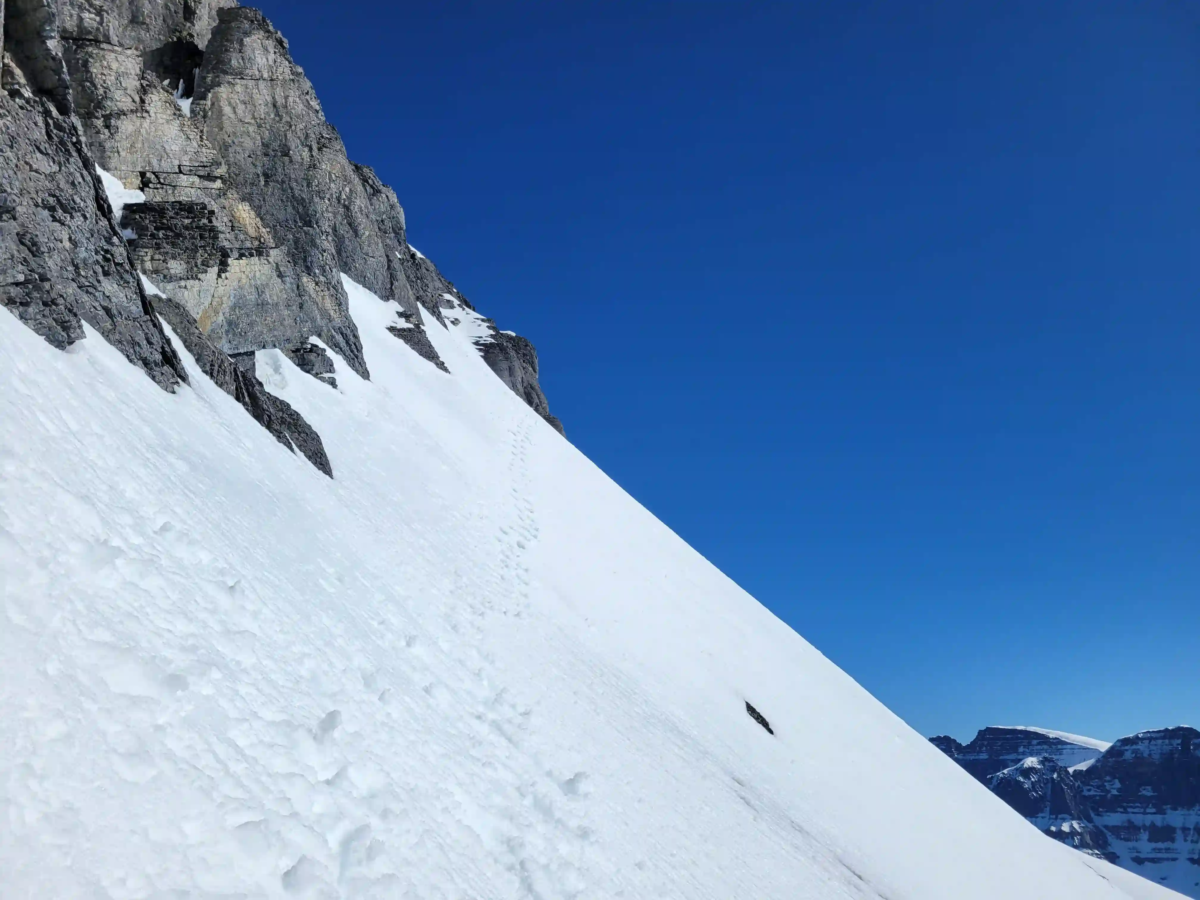
Not long after reaching the base of the mountain, switching to crampons, and starting my ascent I was met with a surprise when I
sank thigh deep into a bergshrund beside the first rock band on the mountain. This was a bit tedious to get around
but the line I took on the rock to the right was nothing past low 5th so it was quite tame. The overnight freeze hadn't been great
so up to this point I had been sinking knee to mid thigh deep but there was a decent amount of exposed scree on the south ridge
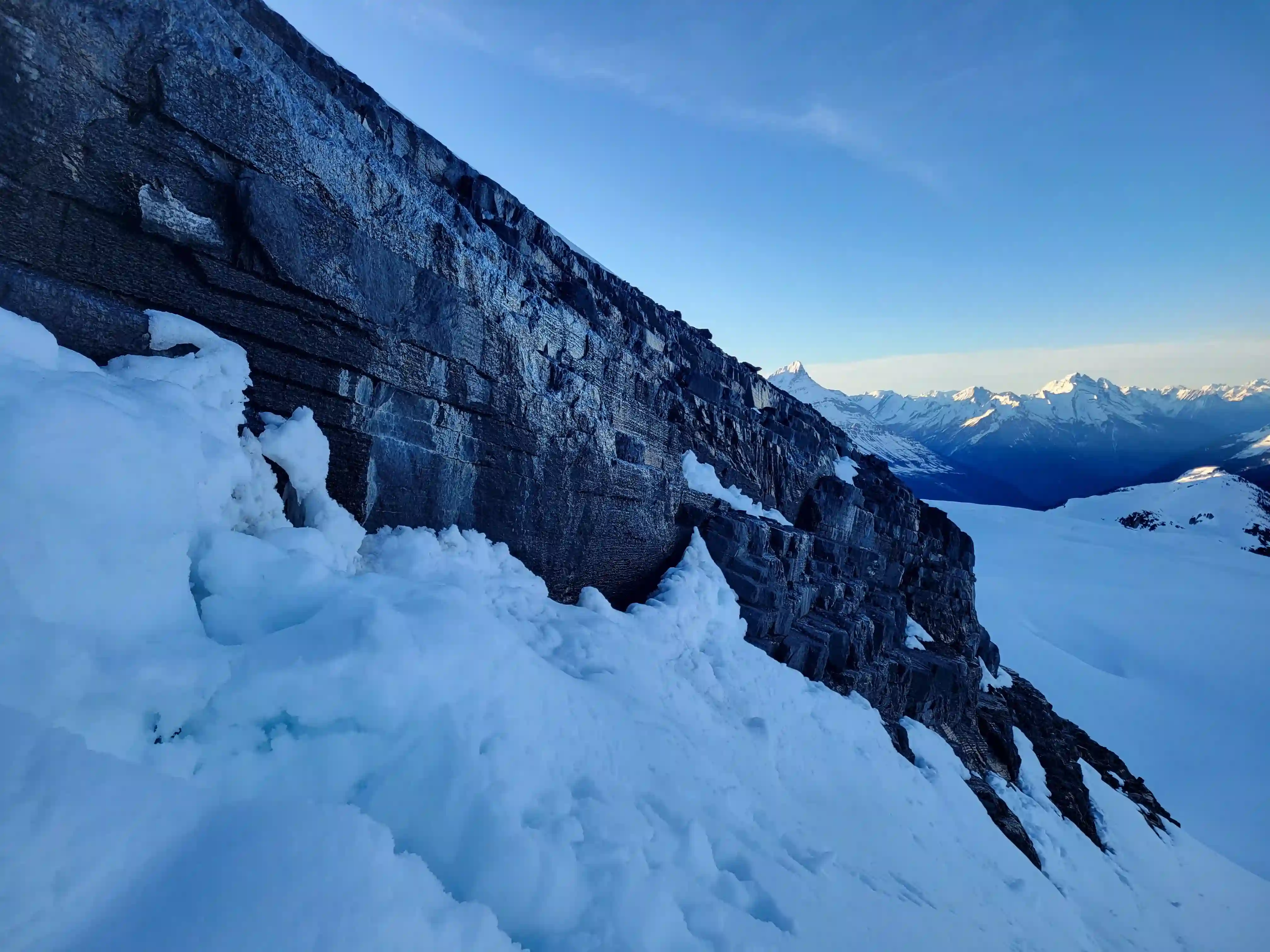
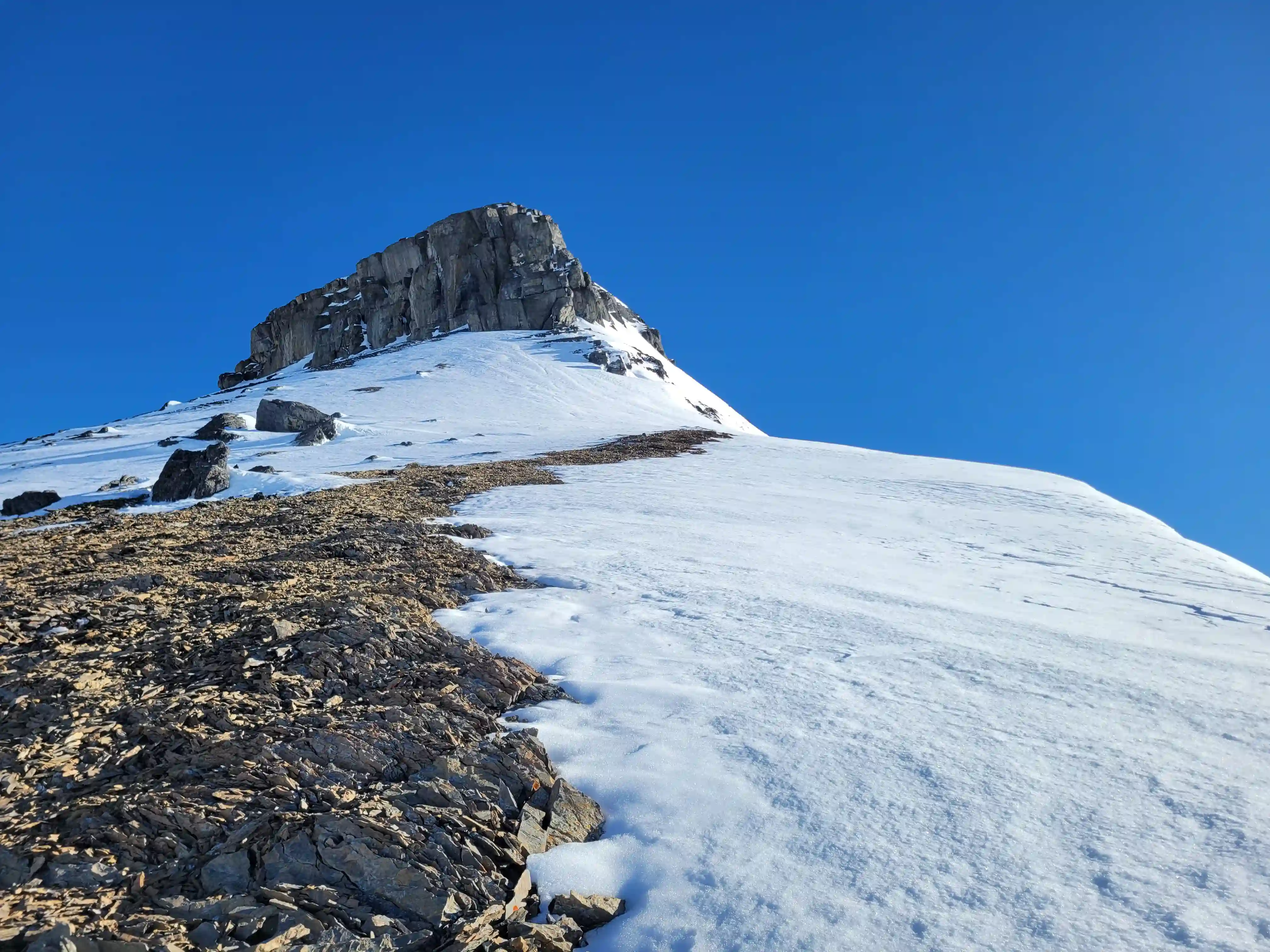
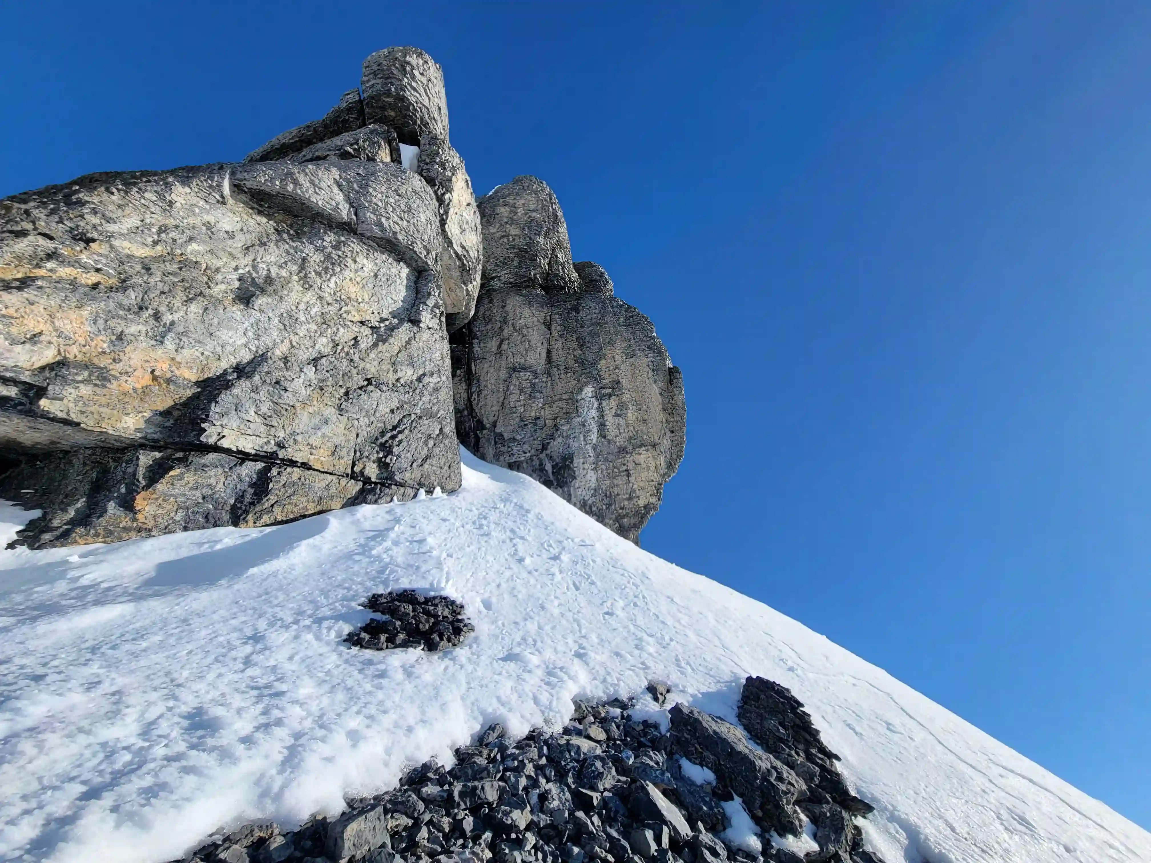
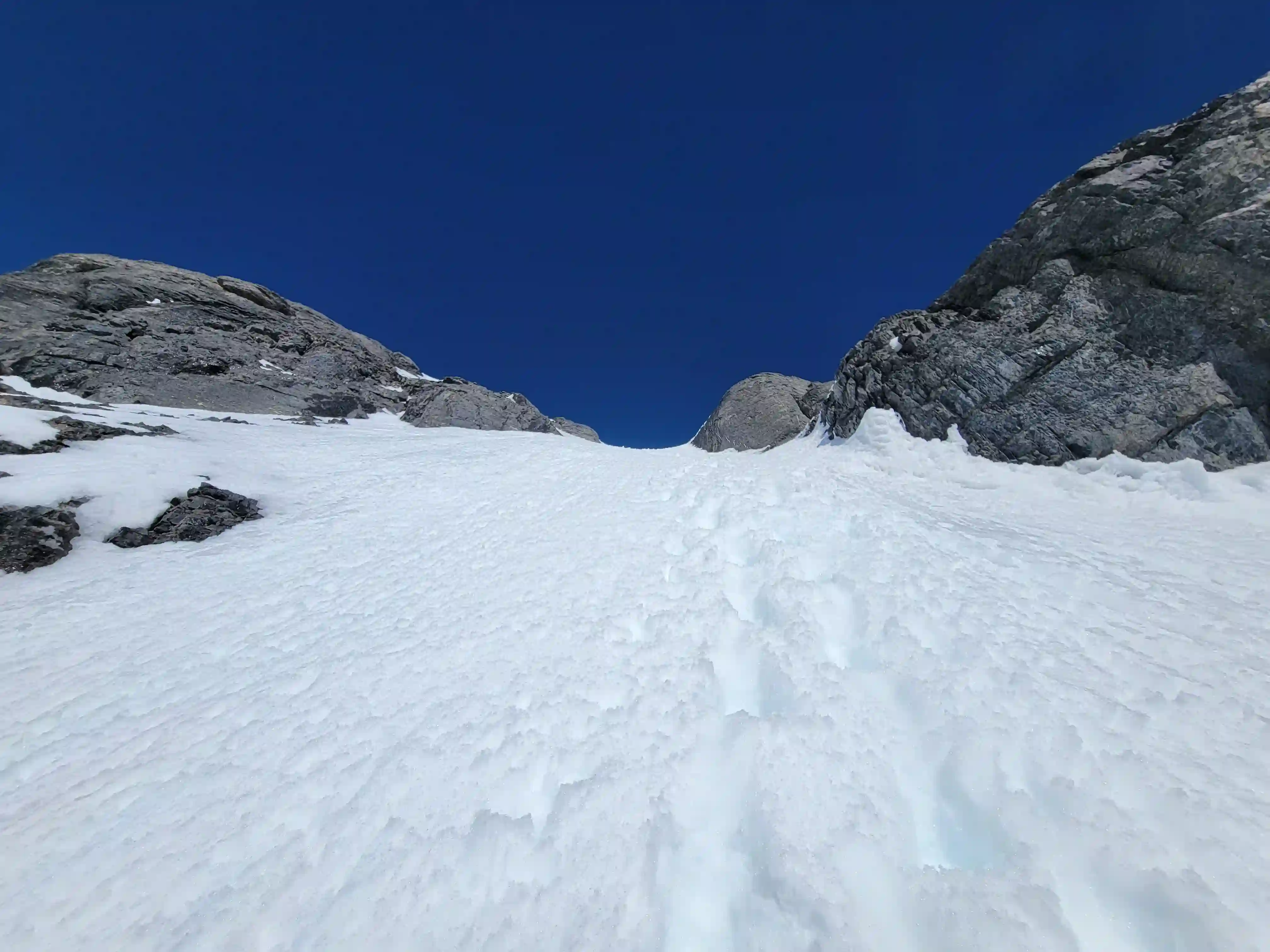
which was nice to be able to avoid the snow when I was punching through. Not long later I was at the SE face bypass section of
the route and with solid kick steps and decent snow conditions it ended up being a simple staircase to the summit!
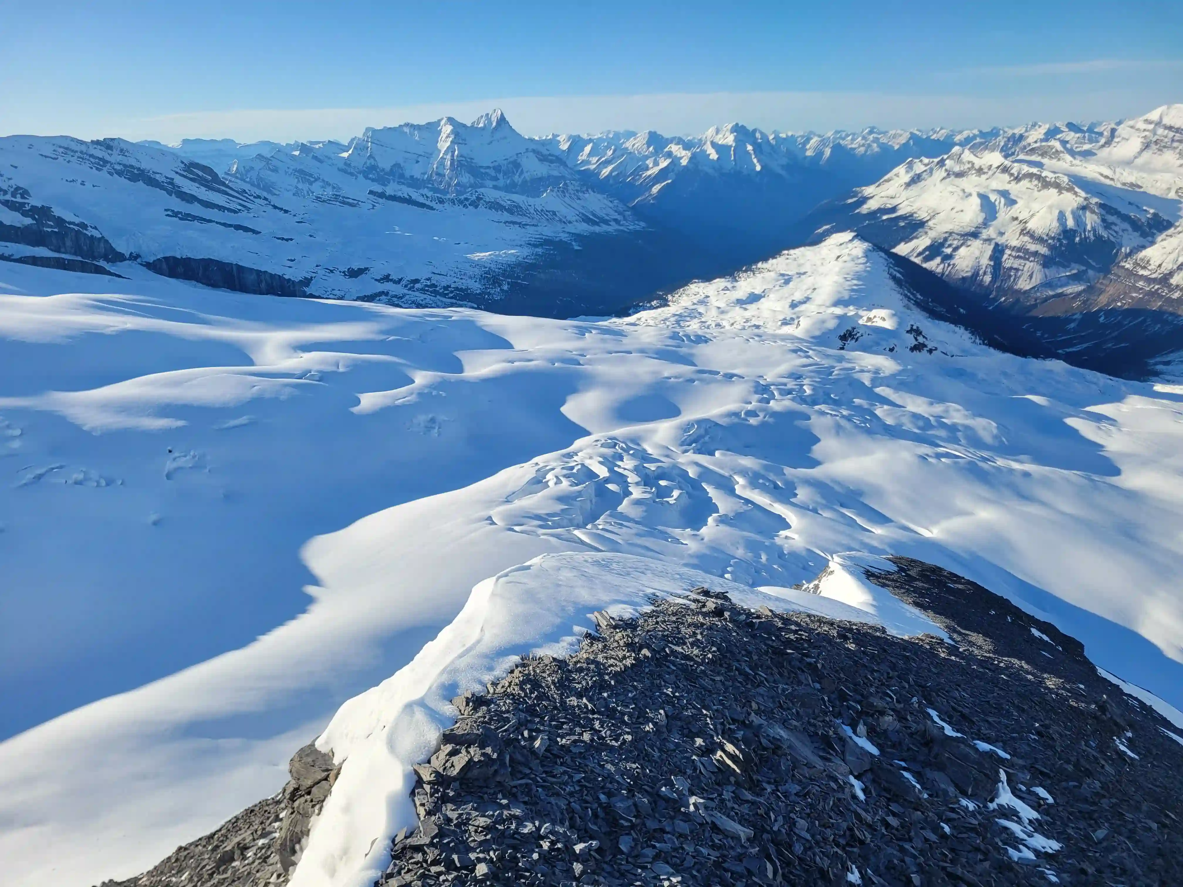
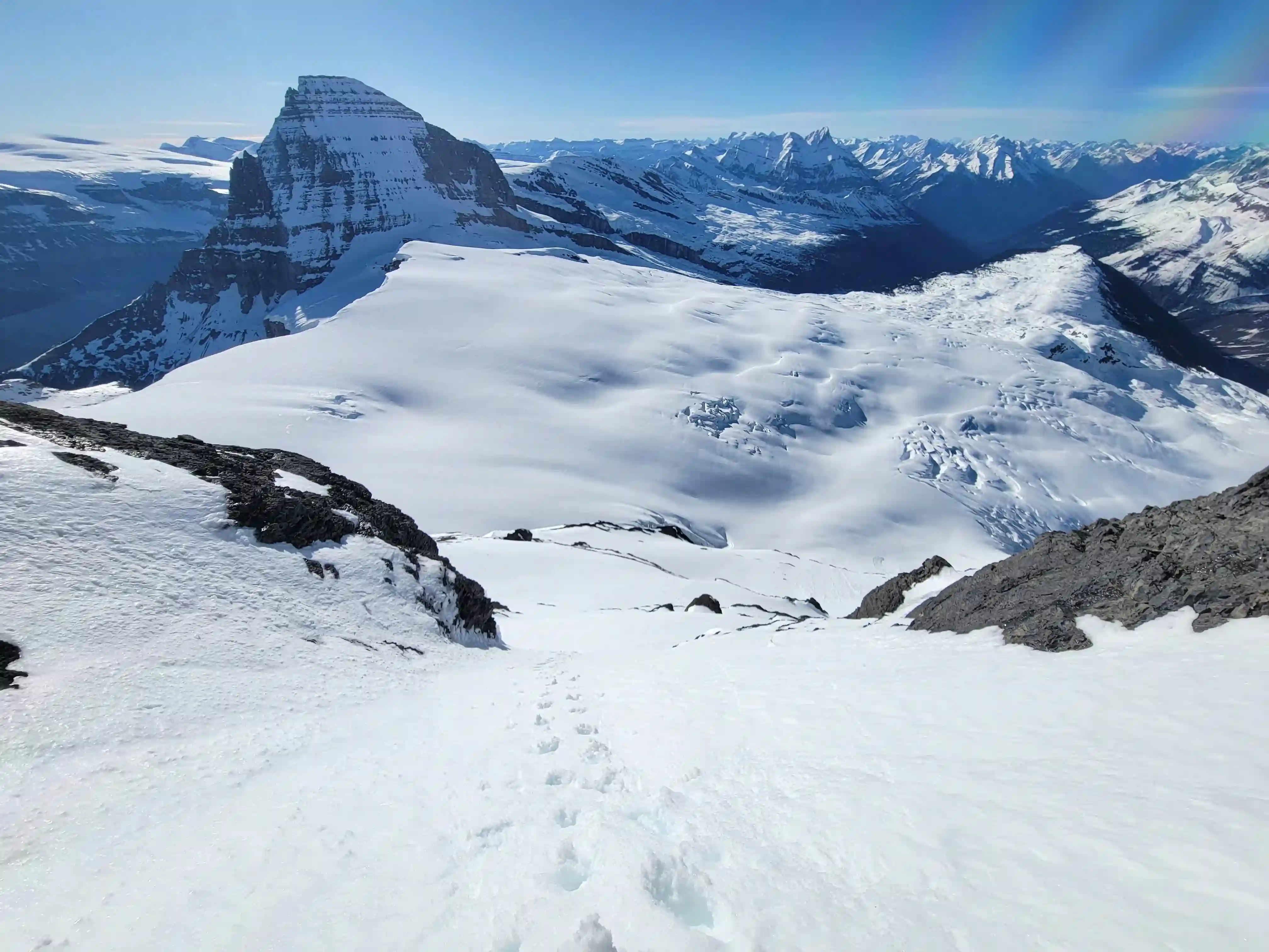
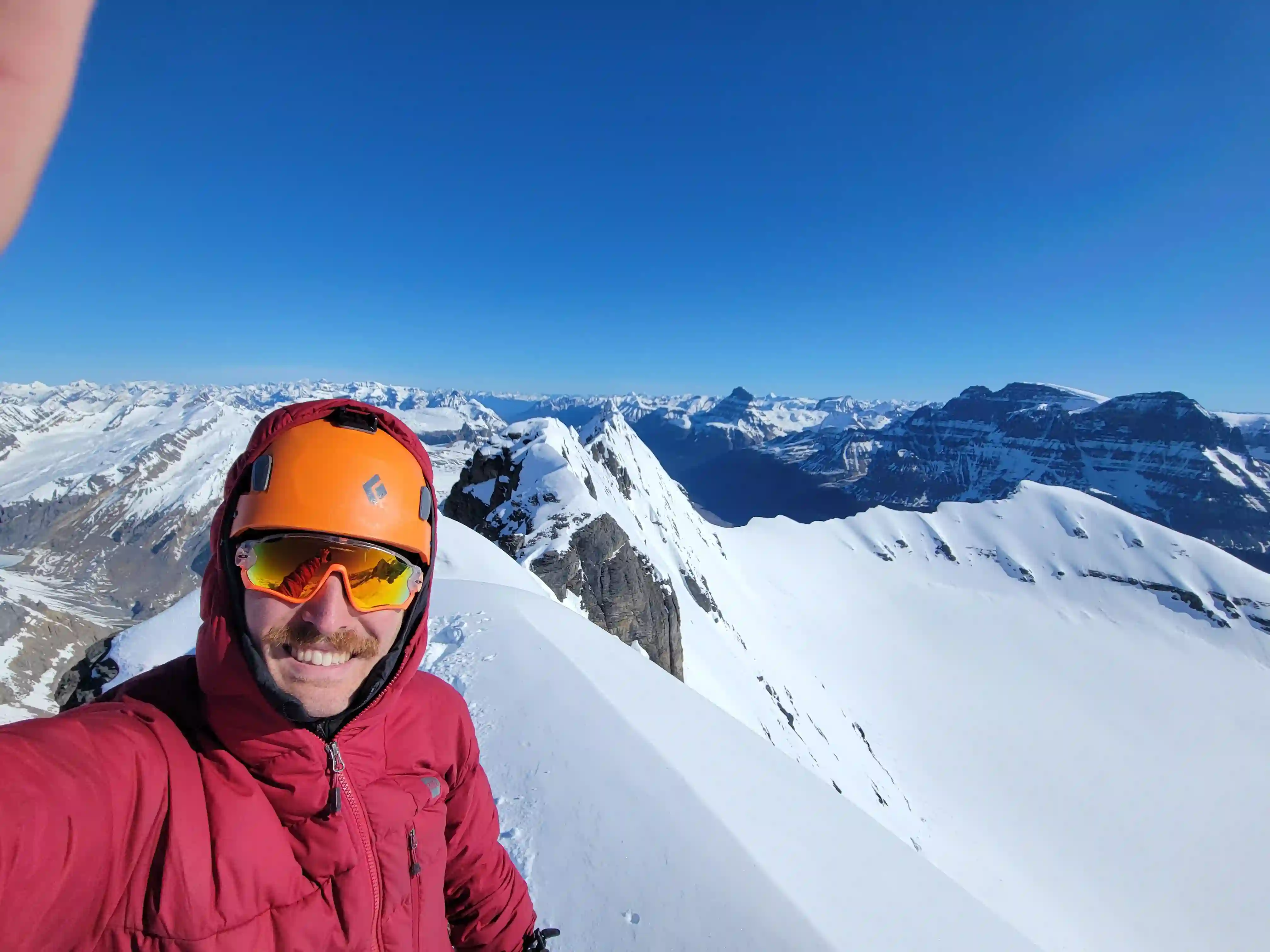
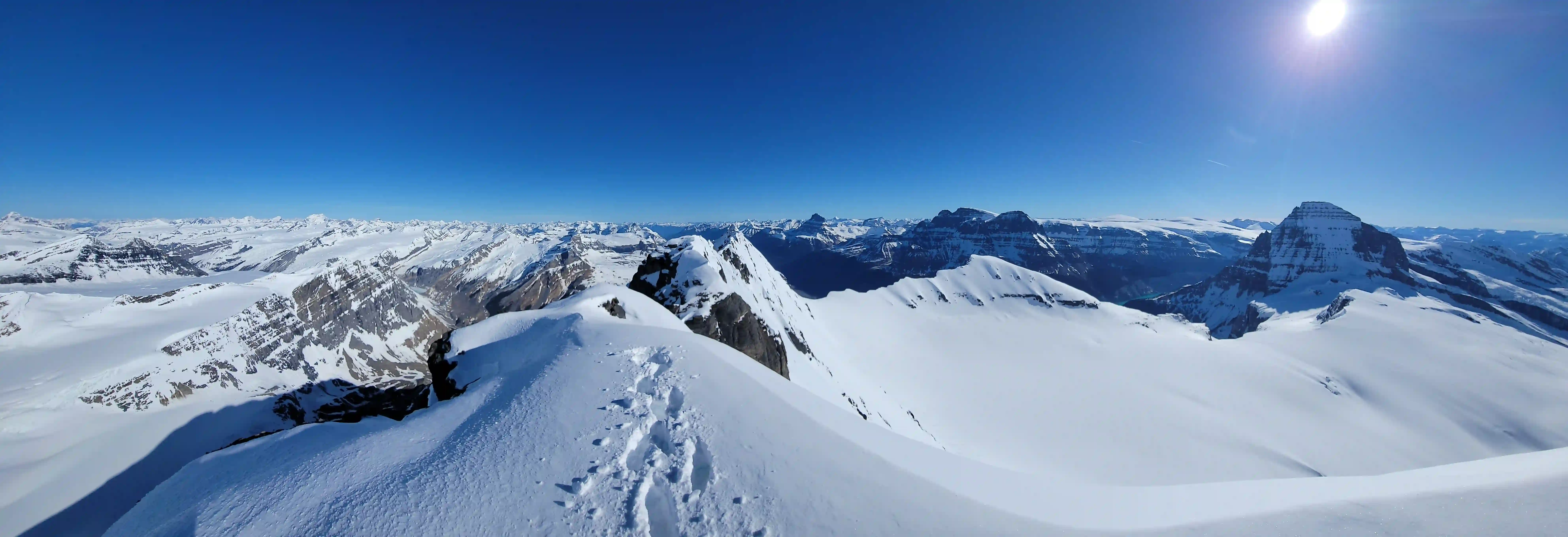
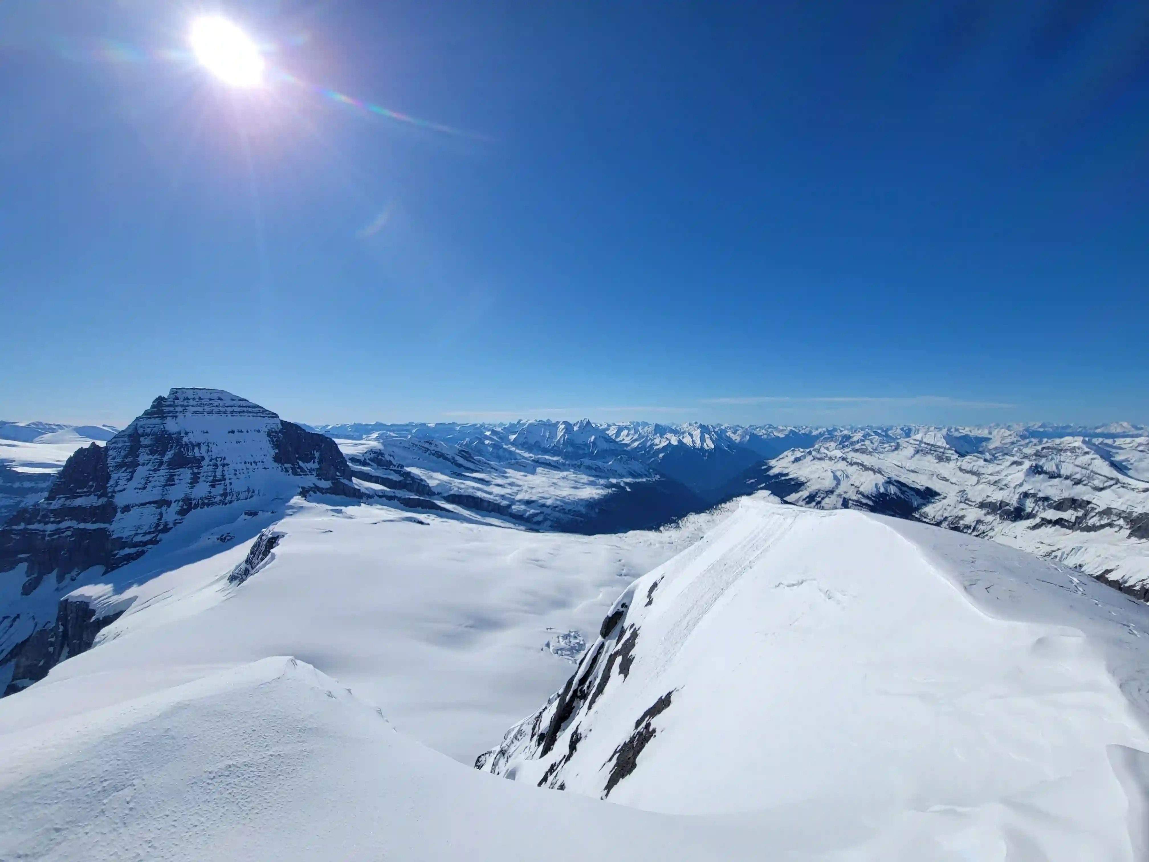
THE SUMMIT
got the guts for it! Might come back for that line one day...
Into trips like this?
I'll send you an email whenever I publish a new trip report.
THE DESCENT & EXIT
I had been thinking about skiing down the south face if conditions were good so I put my skis on at the summit and skied the upper ridge, but once I reached the more sun exposed south face the snow conditions significantly worsened and I decided to downclimb it. Once below the summit block I put the skis back on for the SW face and cconditions were pretty solid on the upper section so this was the best skiing of the trip. Things softened up lower down and then I had to deal with downclimbing the rocky step to get over the bergshrund which was annoying but from there it was pretty easy going.
I was a bit concerned about the snow bridges softerning up with the temperatures rising quite quickly but I got back across the glacier without issue and after getting through the rolling alpine terrain I was back at camp and backing up before heading out. The ski out from camp ended up being quite enjoyable and I was definitely glad I chose to go for King Edward when I did as skiing the treed section saved me a ton of time instead of having to hoof it. Once I reached the old road at 4km again it was back to the approach shoes I had ditched the night before and then a simmple hike out to the river before one last spike of adrenaline to cap off a sweet trip.
here in high risk avy conditions


Canadian Rockies 11kers!
Aside from the river crossing I found Mount King Edward quite enjoyable and definitely up there with my favorite 11000er ski descents to date. It's one of the objectives that doesn't get much attention because of how remote it is but the area to the west of Mount Columbia is one of the more scenic places out there and I could definitely see myself going back to visit some day!
Just a week later another clear weather window showed up near the Columbia Icefield and Devan and I were in communication again with plans to check off the
last 11000 foot peaks
we had left out the Bush FSR.
Follow the full progression
I'm working through all 58 11000ers of the Canadian Rockies and beyond. You'll get notified when the latest climbs go live.
Other related trip reports:
Robson, Helmet, & Resplendent Linkup |
Mount Bryce Main & Center ||
Tsar Mountain |
Mount Victoria North
11000ers of the Canadian Rockies
© Haldan Borglum | Peak by Peak. All rights reserved.